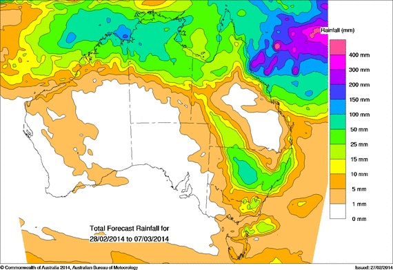
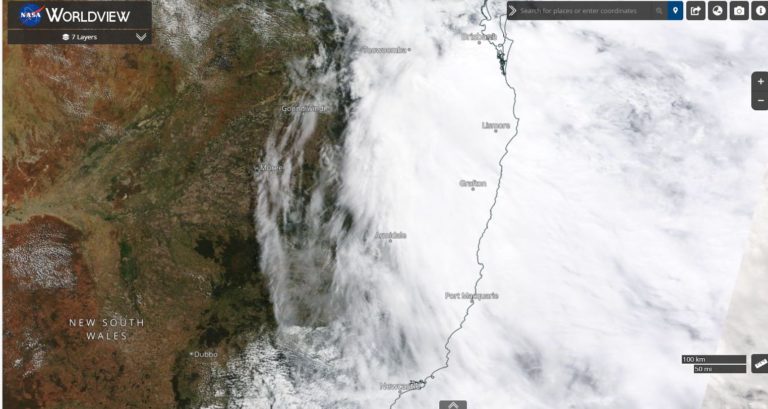
Rain that has been falling along the coast and nearby ranges today is expected to move slowly inland tomorrow. Some heavy falls have already prompted flood warnings around Lake Macquarie and last night there was a severe thunderstorm warning for storms with heavy rainfall sufficient to cause flash flooding in the Newcastle region. Cooranbong near the western side of Lake Macquarie at the foot hills of the Watagan Mountains received a hefty 230mm of rain in the early hours of the morning.
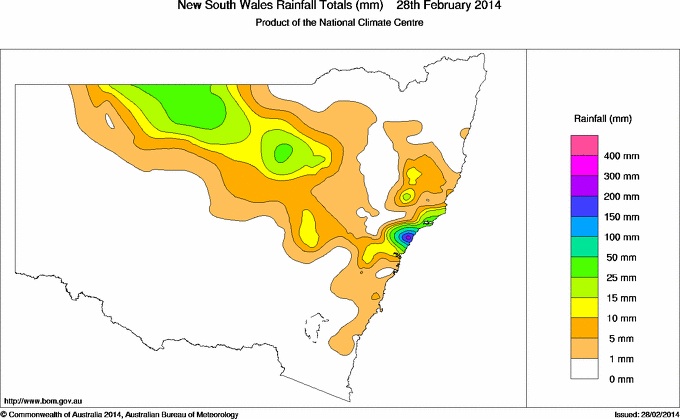
Update:
Developing rain event Sydney – chaotic motion on radar with showers moving with the wind stream at the lower levels, convective clouds producing rain in some areas in regions of convergence and then upper level cloud mass approaching with rain from the west or northwest!
See : 128km Radar Loop for Sydney (Terrey Hills), 07:00 28/02/2014 to 07:00 01/03/2014 UTC











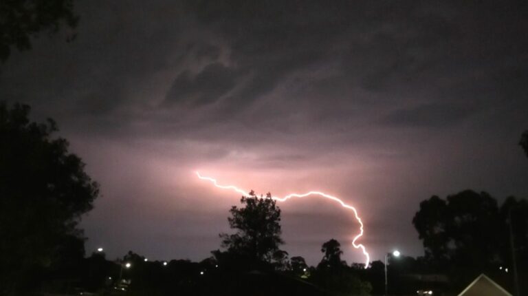
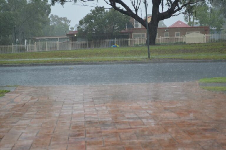
I had heard of a severe thunderstorm warning for Newcastle but that must have then spread towards this region. There was region of convergence along the tablelands as well!
Interesting rain event approaching Sydney. Convective rain is developing ahead of a rain band from the west. It looks very weak n radar from so far out but Dubbo received some heavy rain in short space of time at 3pm.
<p>See : <a href='http://www.theweatherchaser.com/radar-loop/IDR713-sydney-terrey-hills/2014-03-01-05/2014-03-01-07'><b>128km Radar Loop for Sydney (Terrey Hills), 05:00 01/03/2014 to 07:00 01/03/2014 UTC</b></p><img border=0 src='http://www.theweatherchaser.com/radar-thumb/IDR713/2014-03-01-05/2014-03-01-07/300.s.png'></a>