Extreme Storms

Hailstorms · Photos

Hailstorms Western Sydney and Lower Blue Mountains

· by Jimmy Deguara

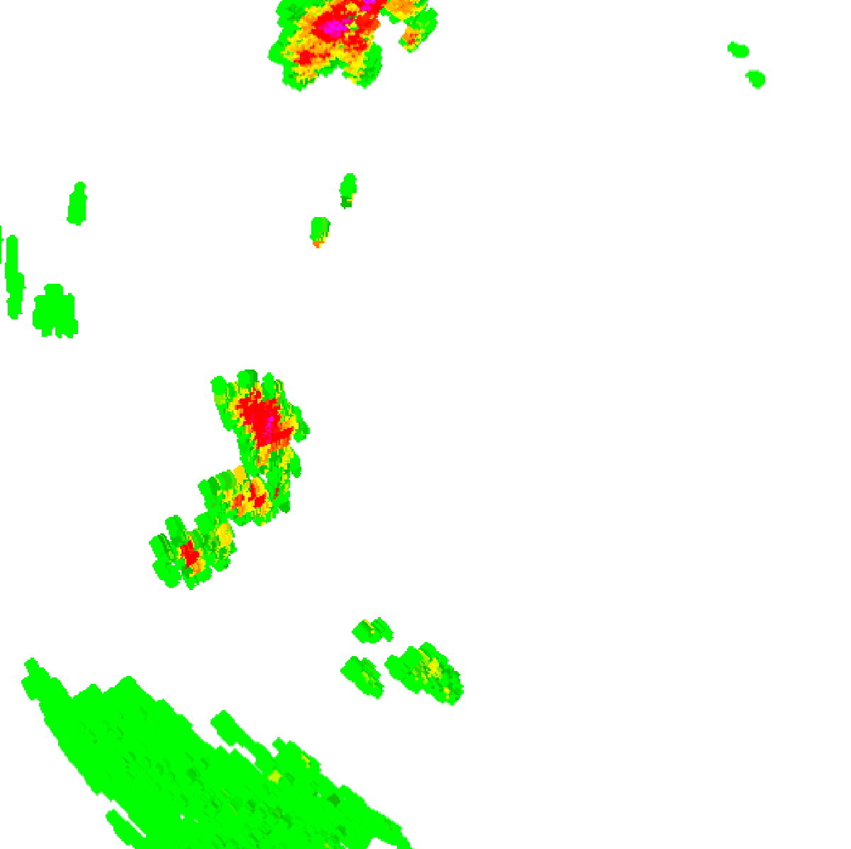
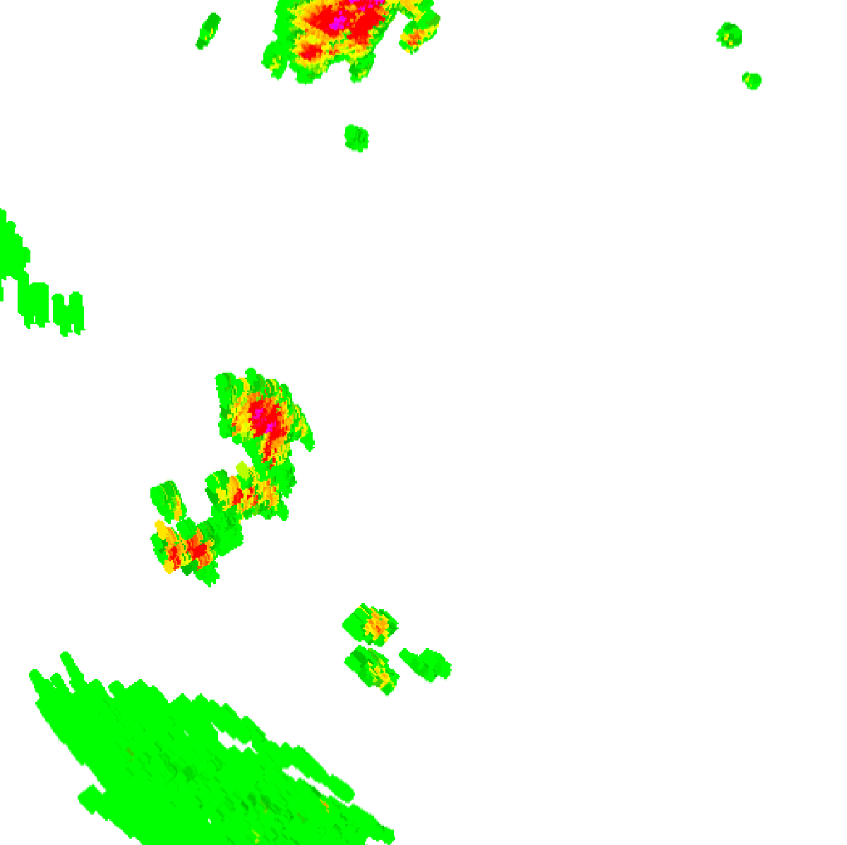
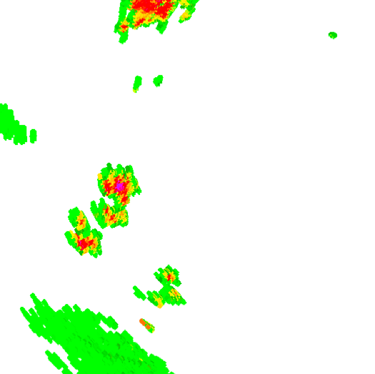
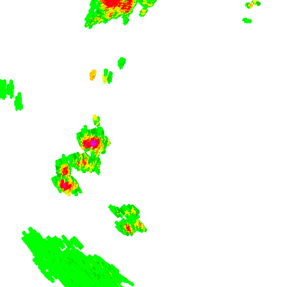
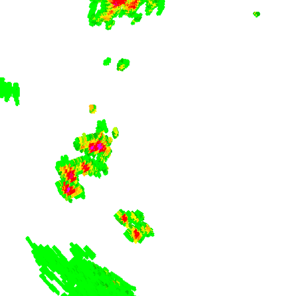
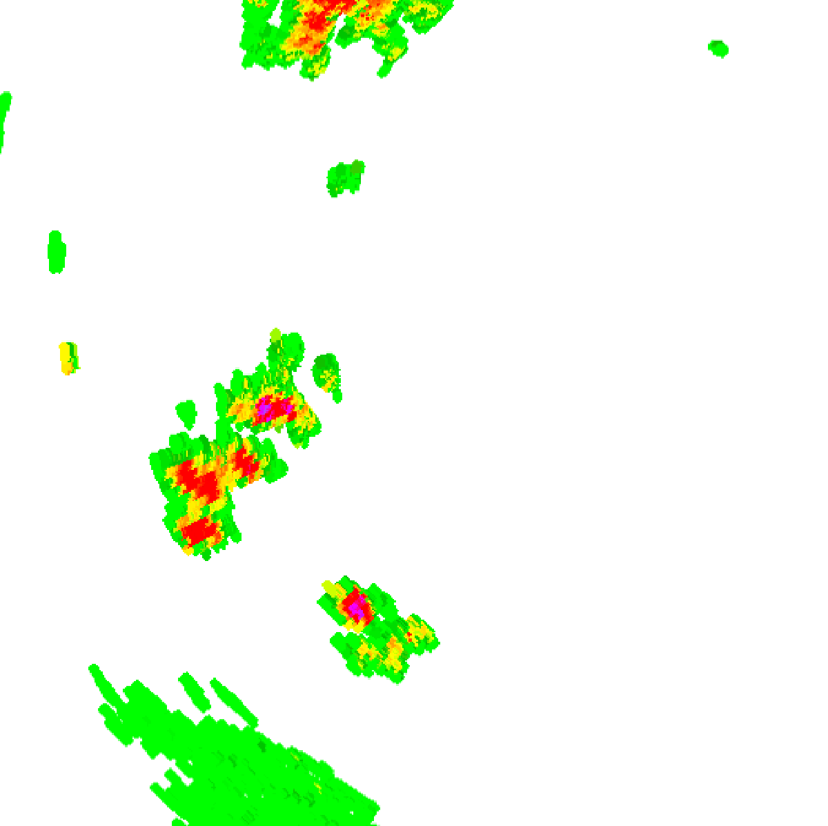
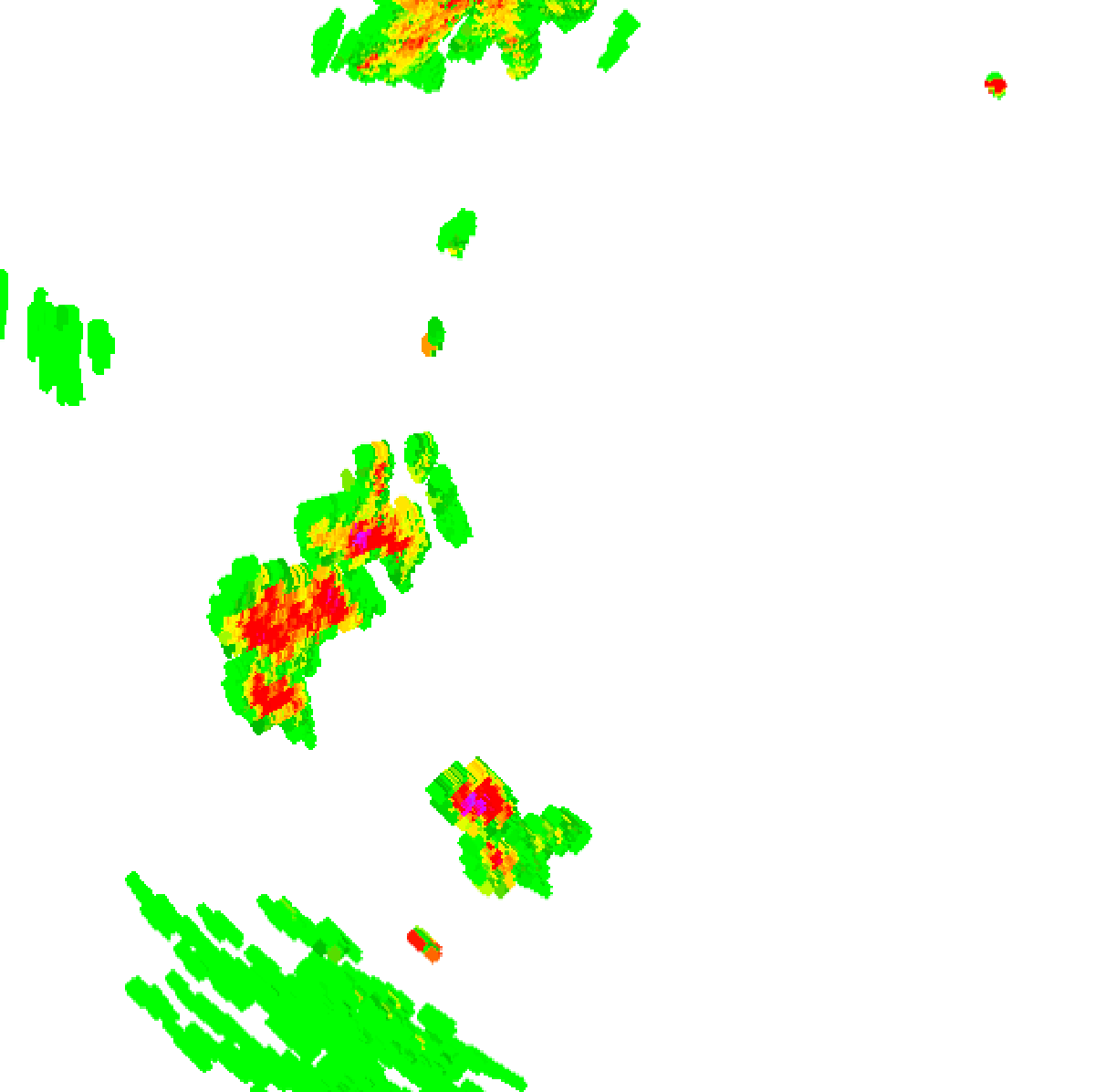
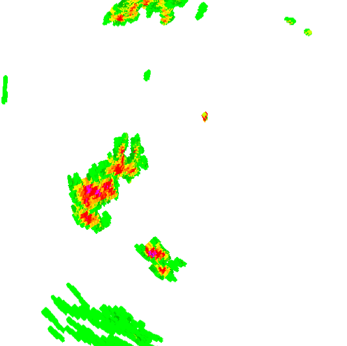
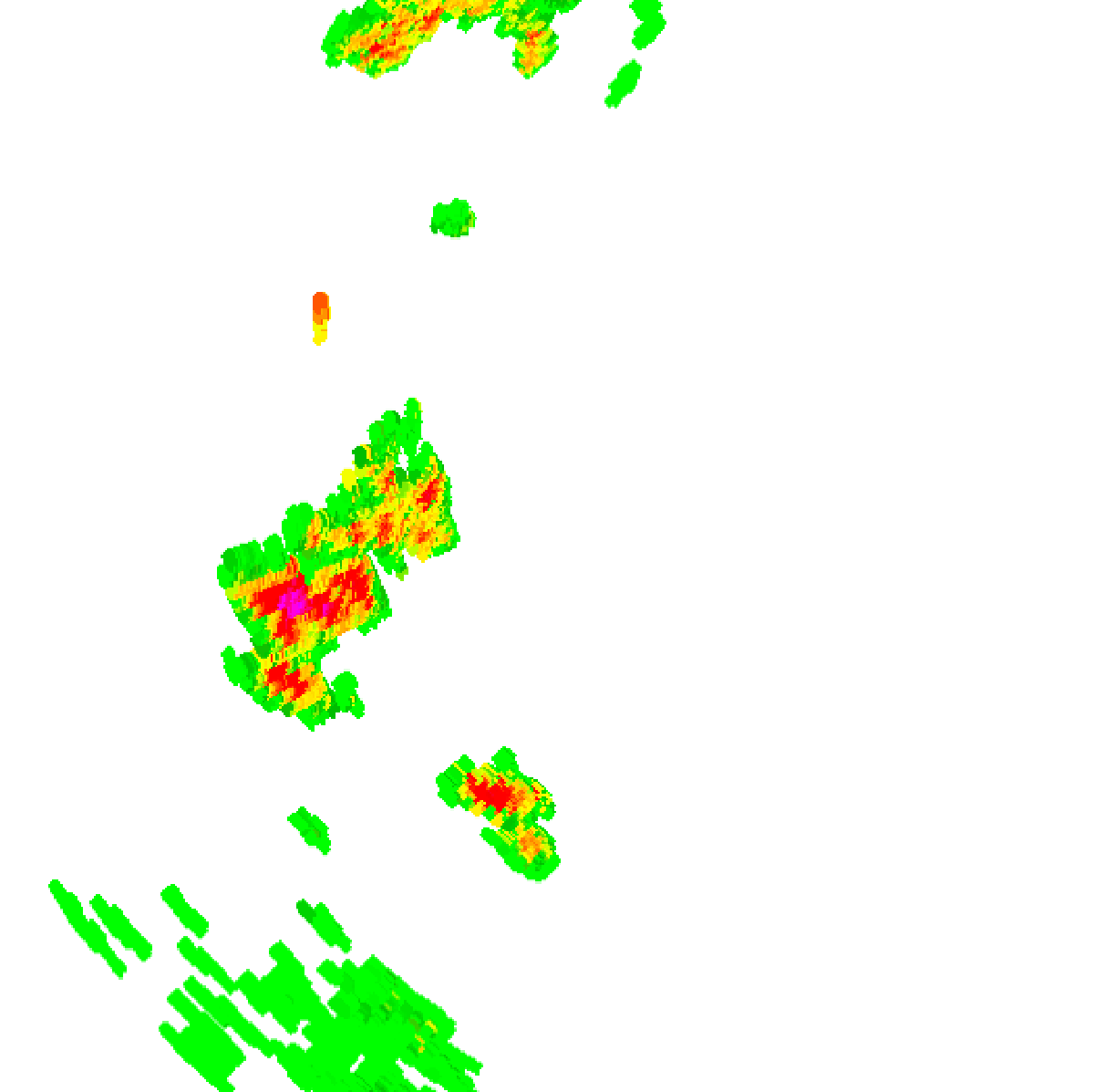
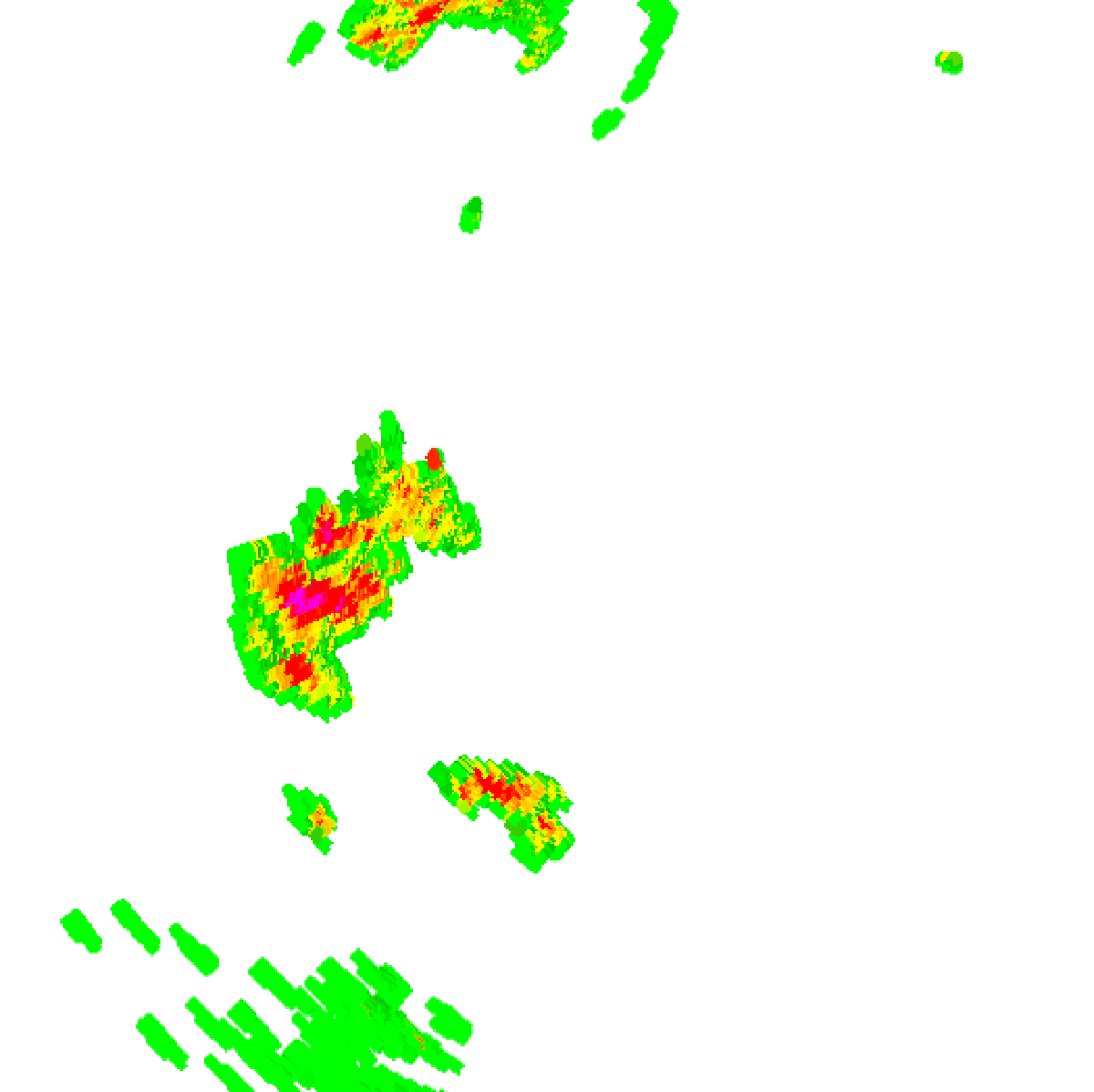
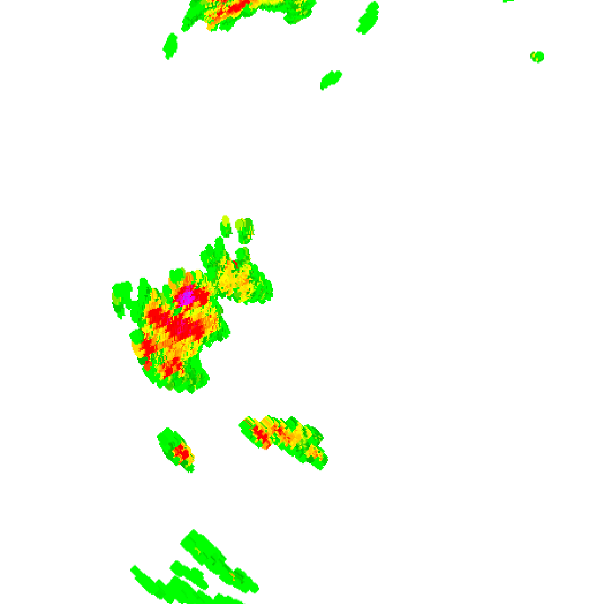
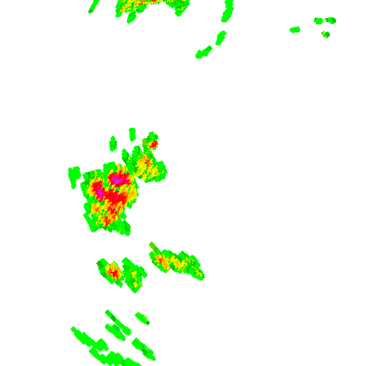
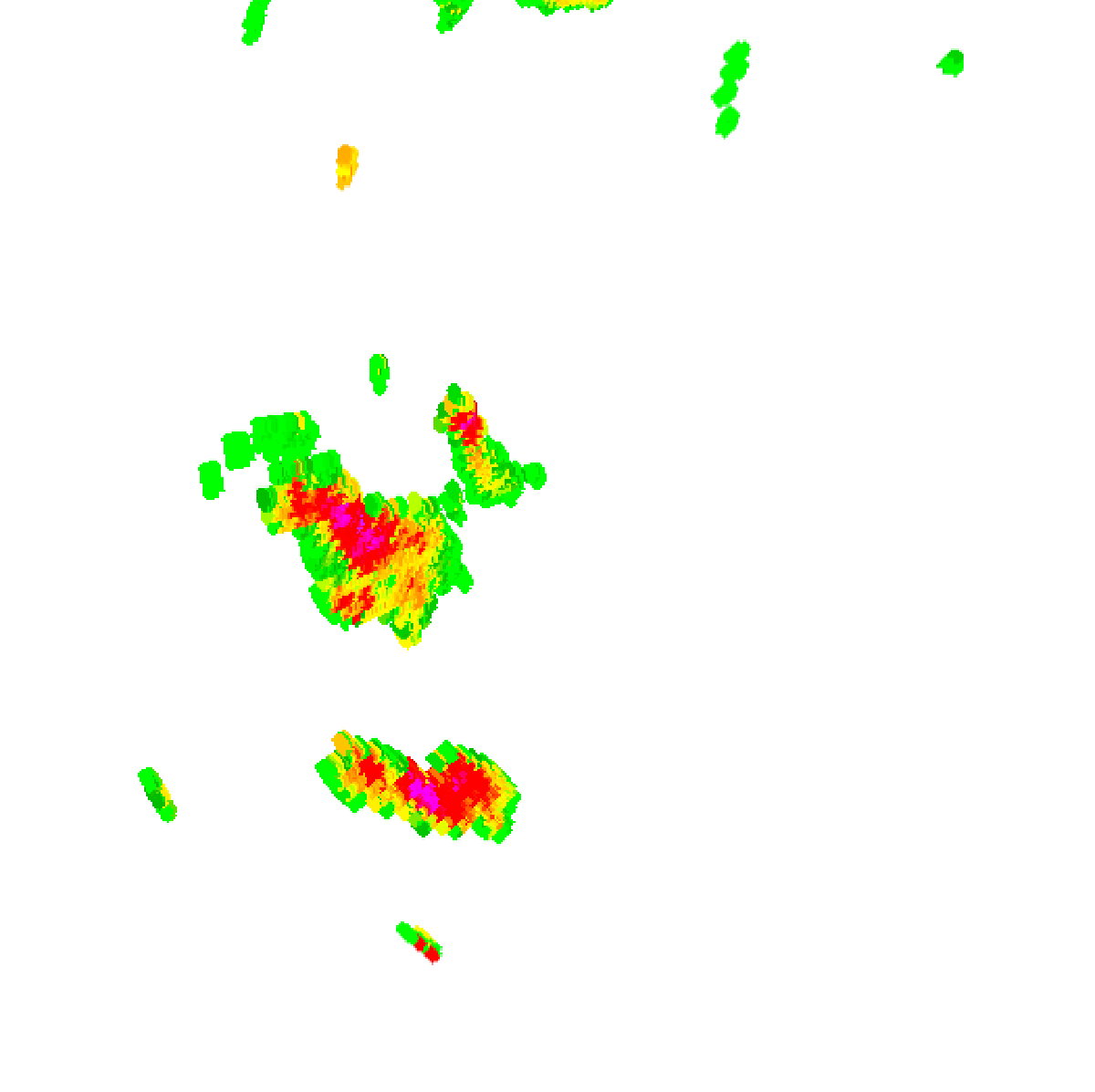
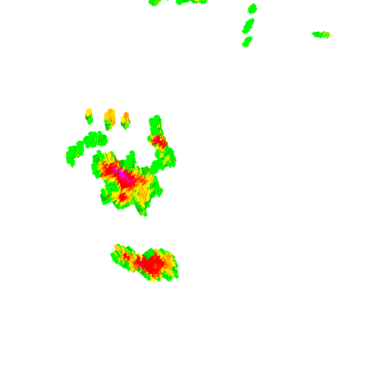
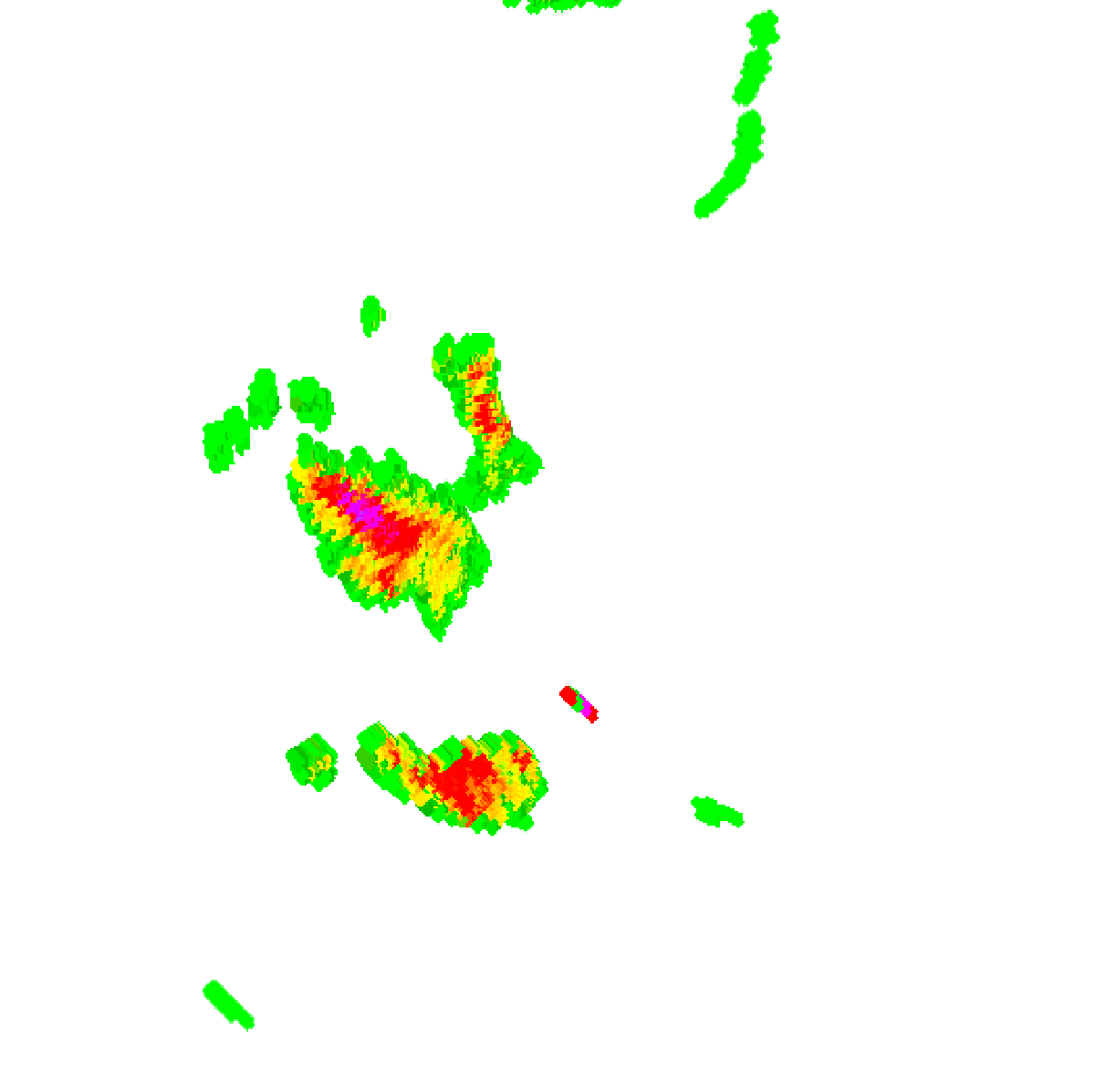
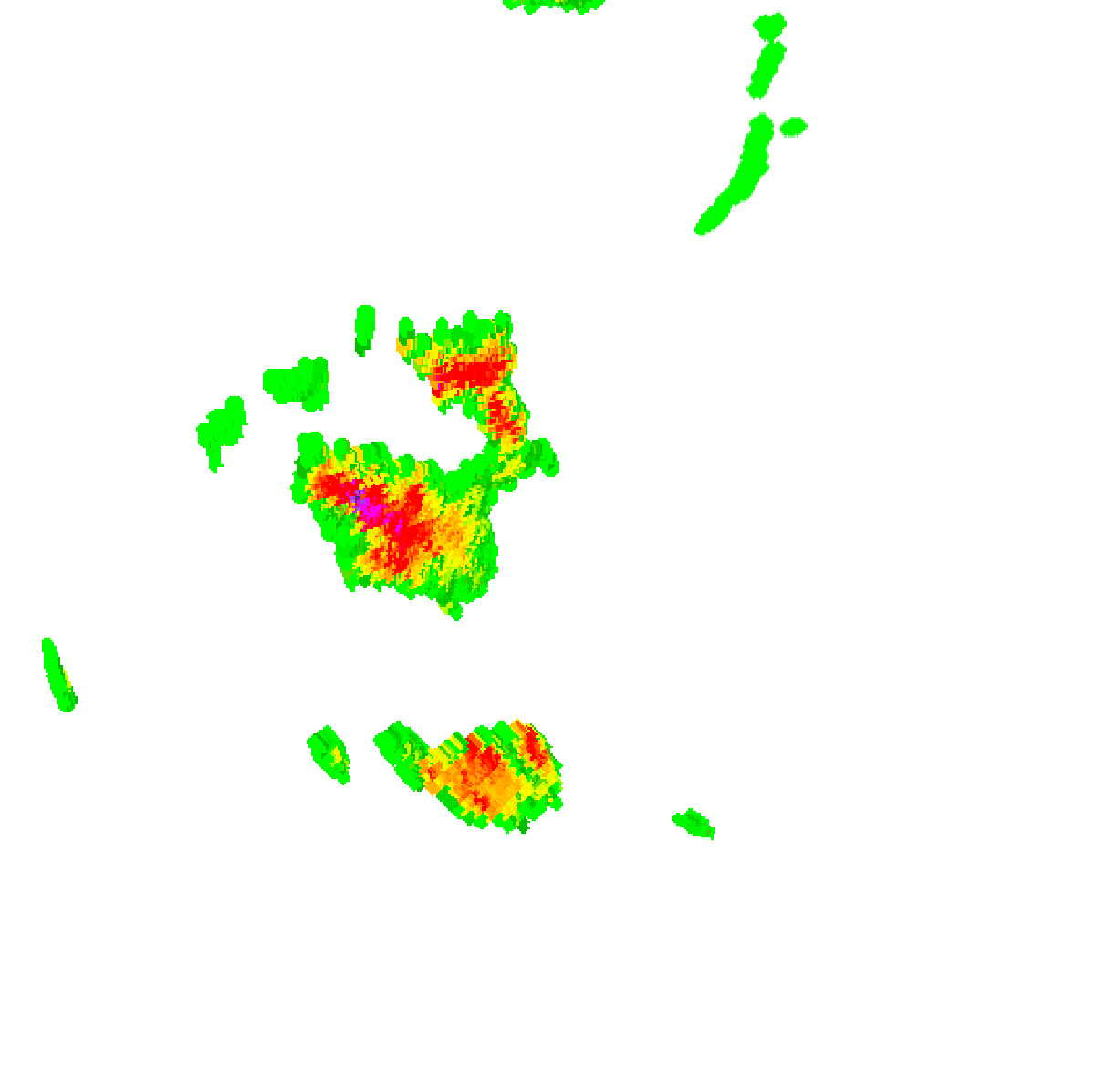
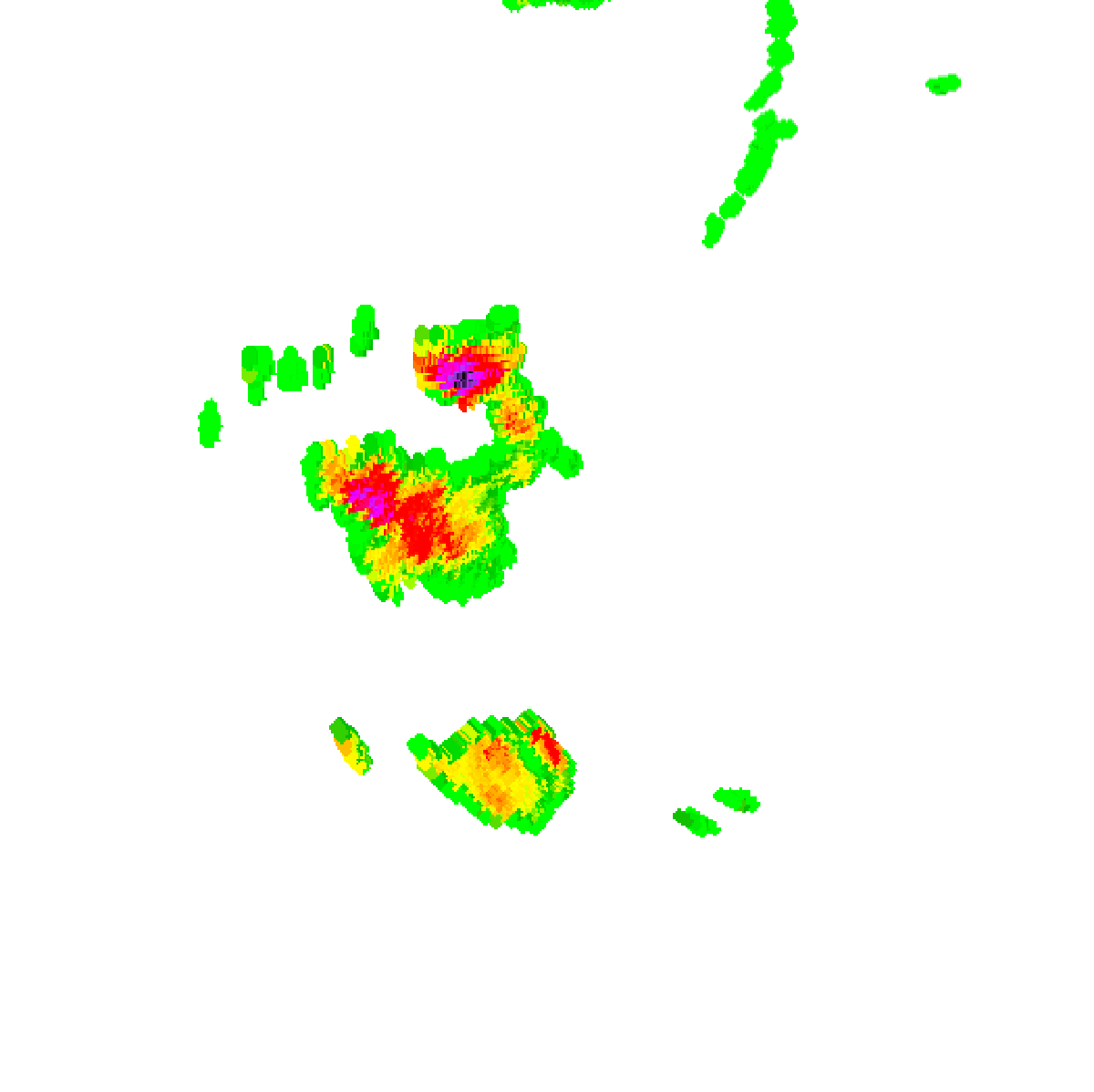
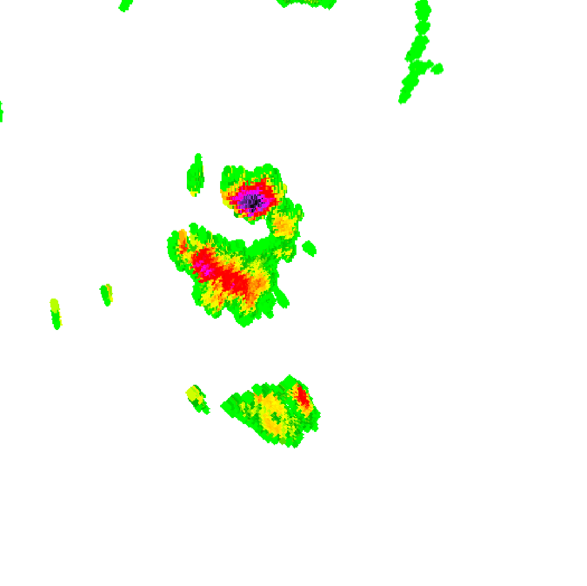
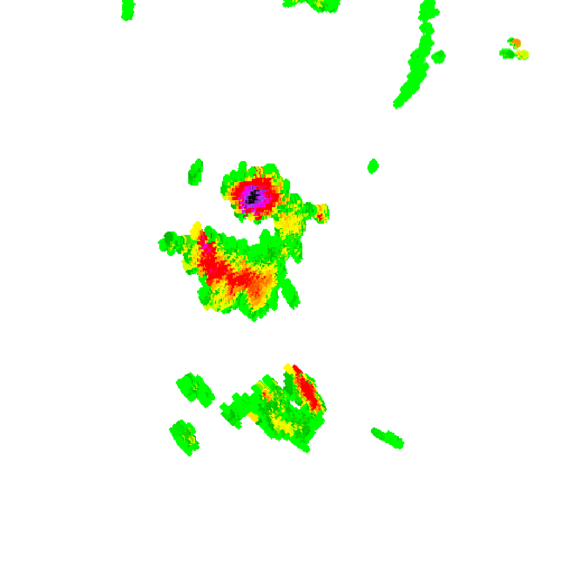
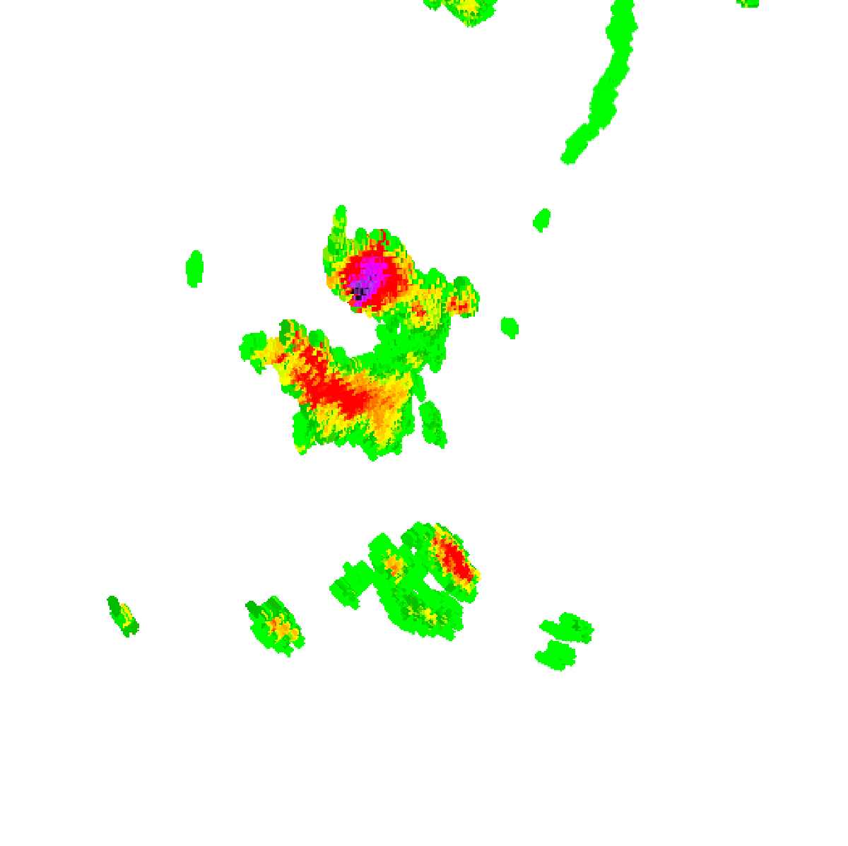
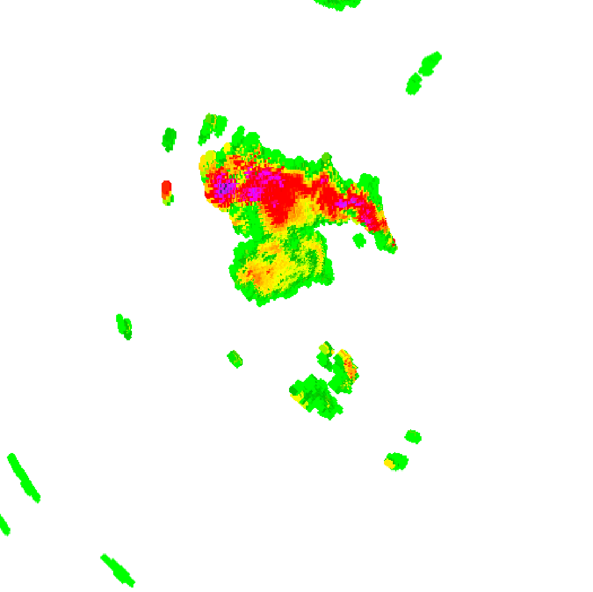
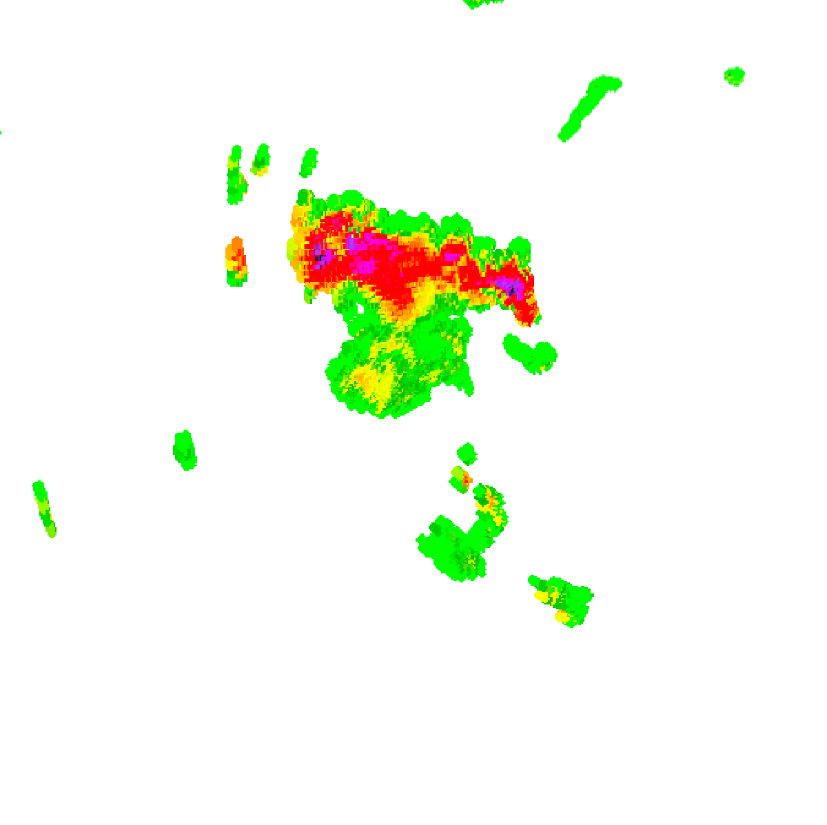
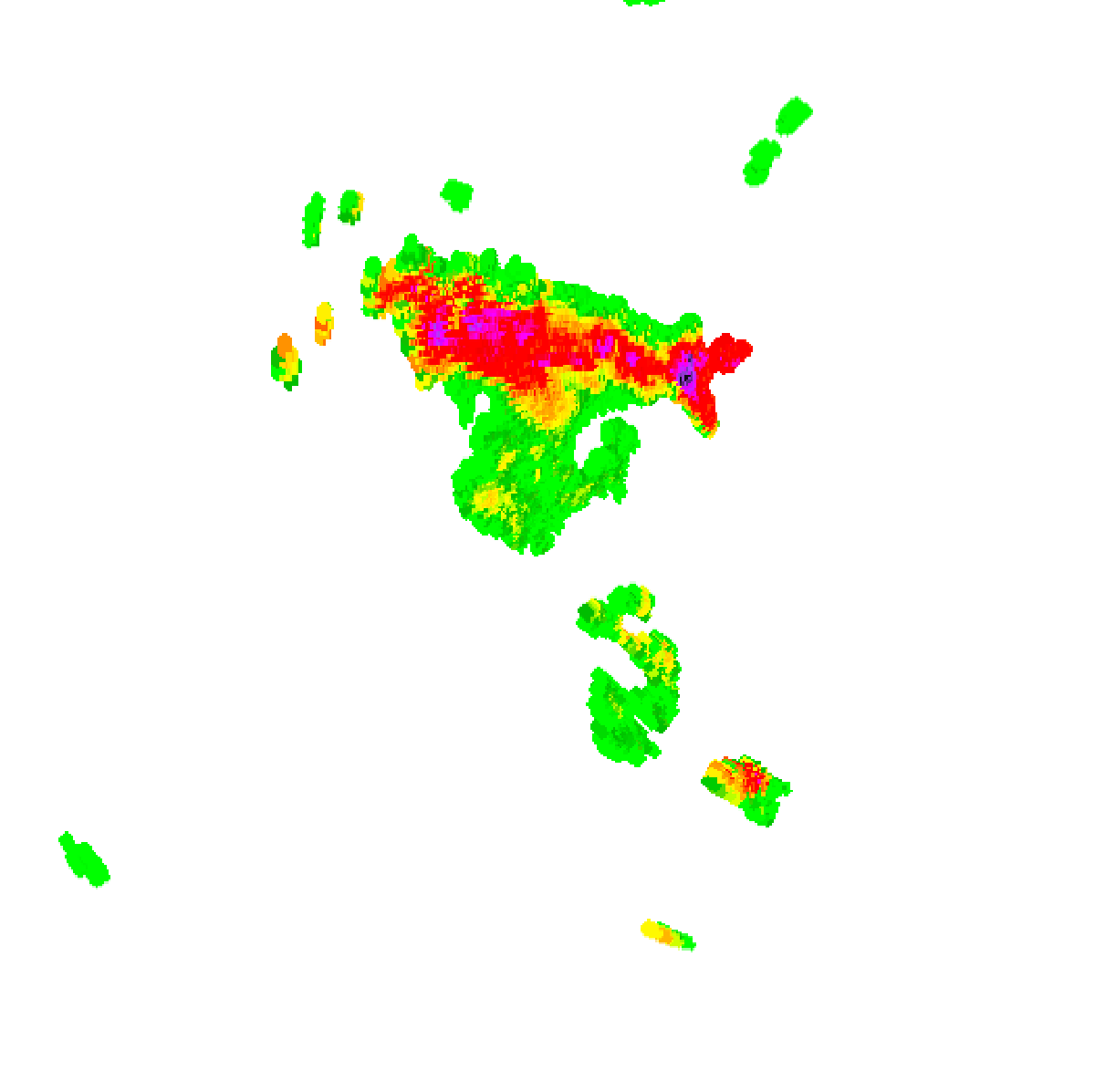
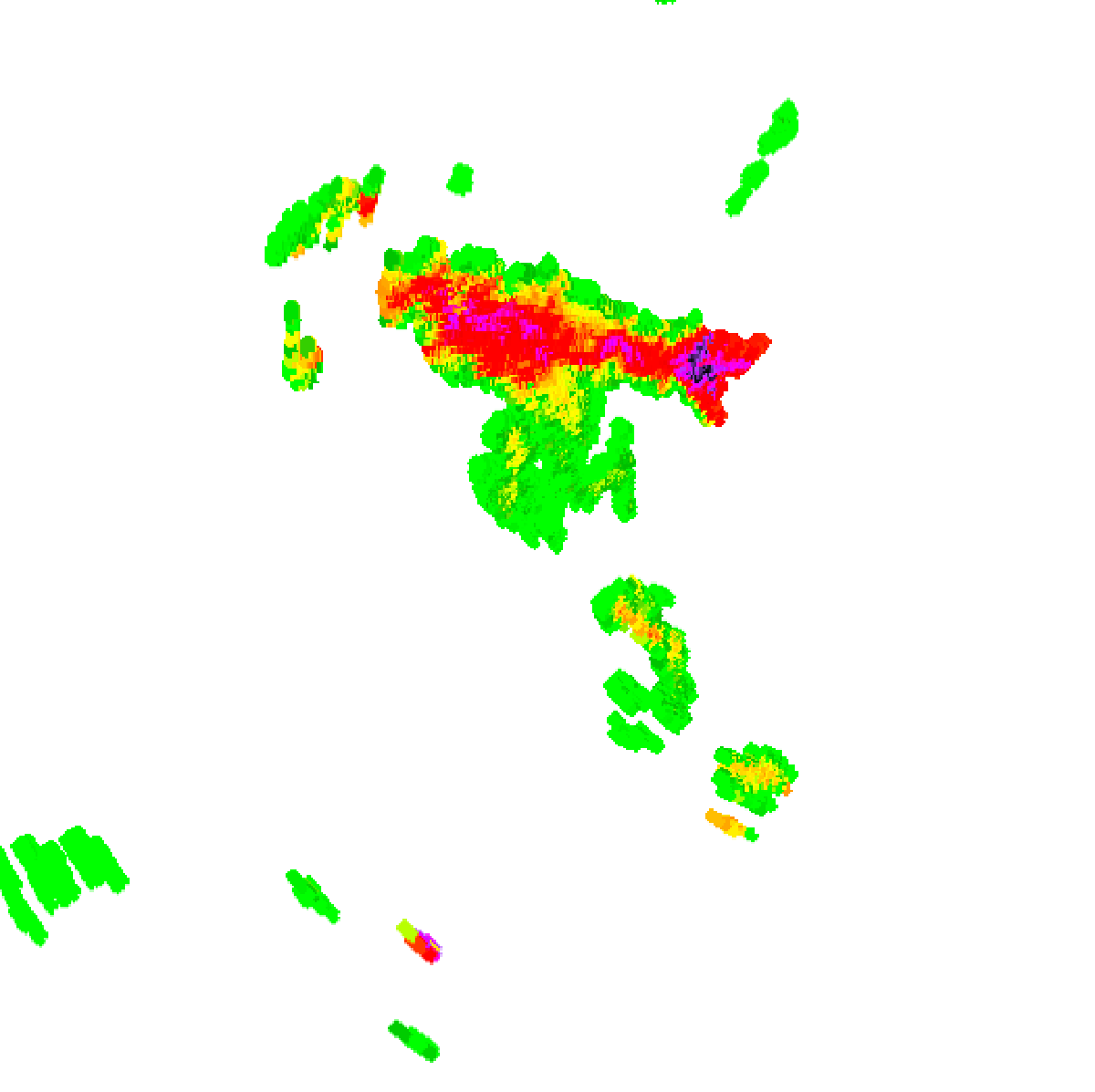
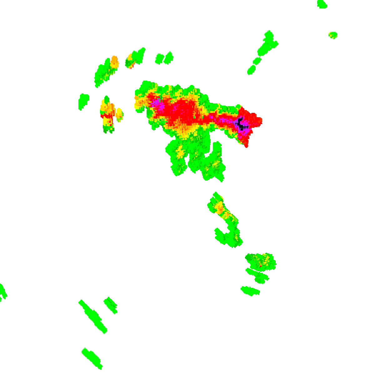
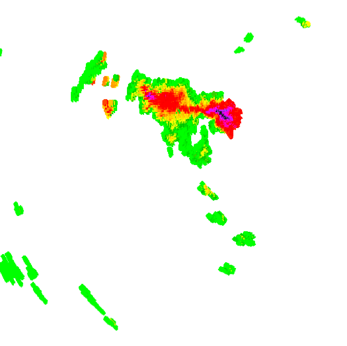
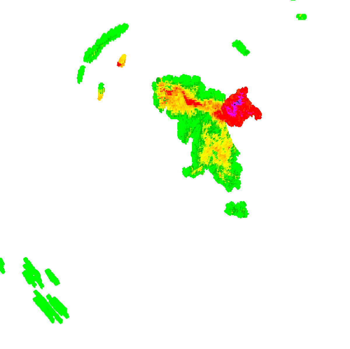
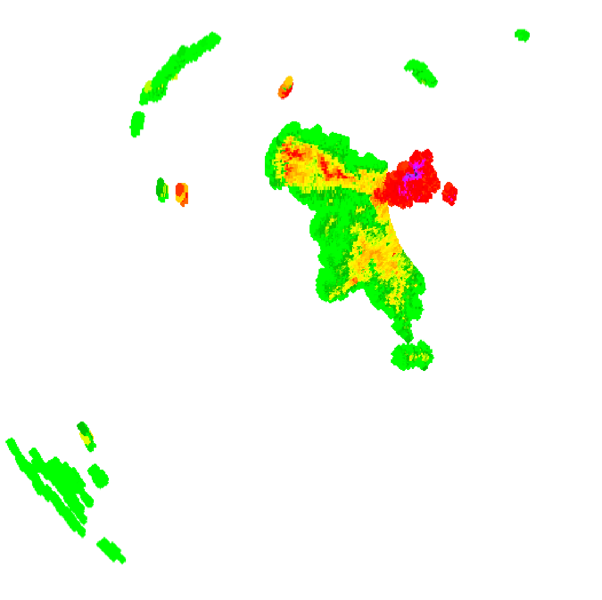
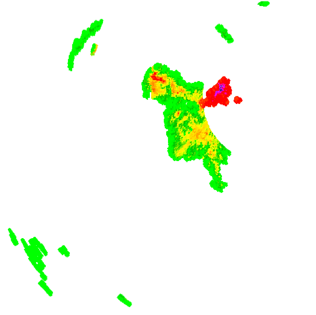
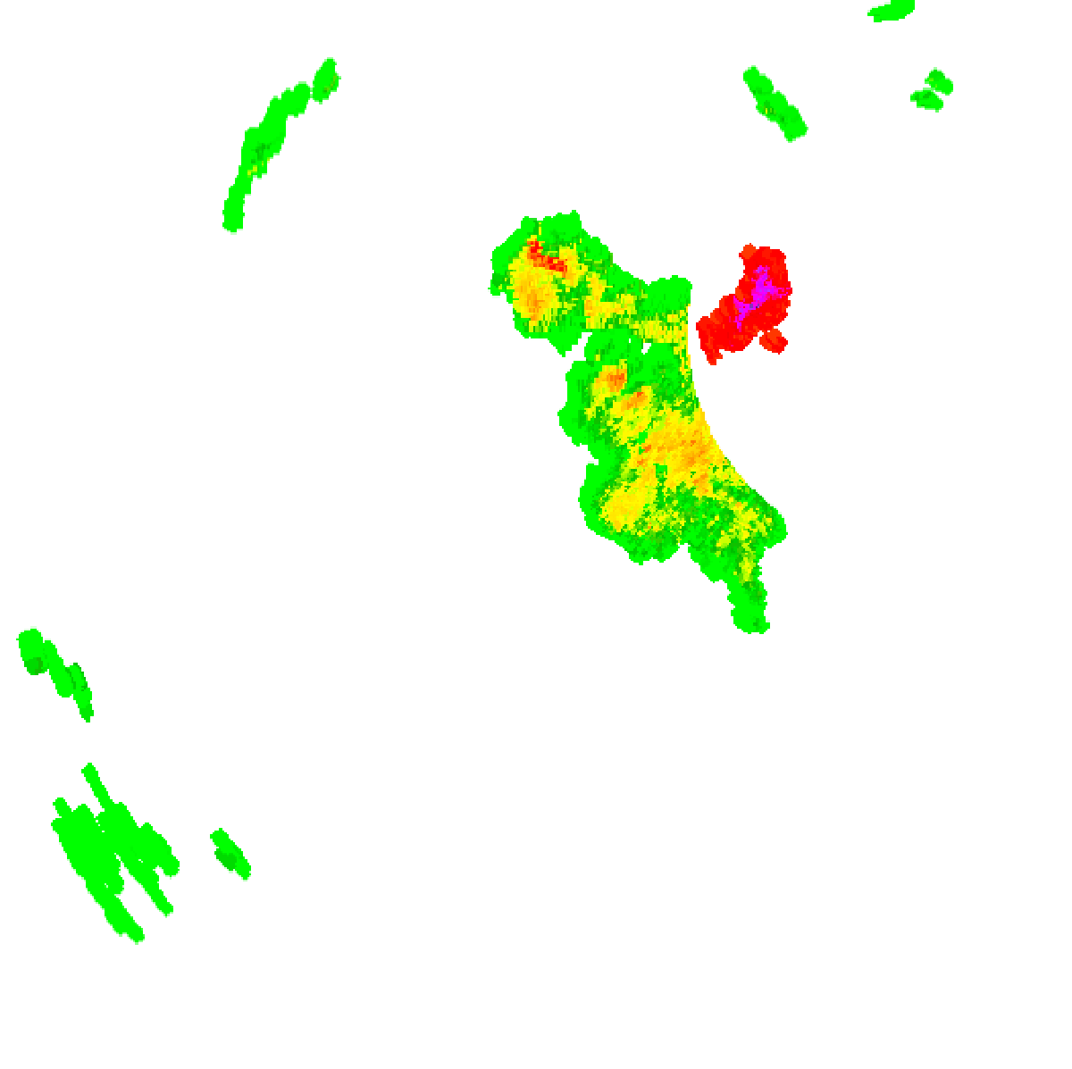
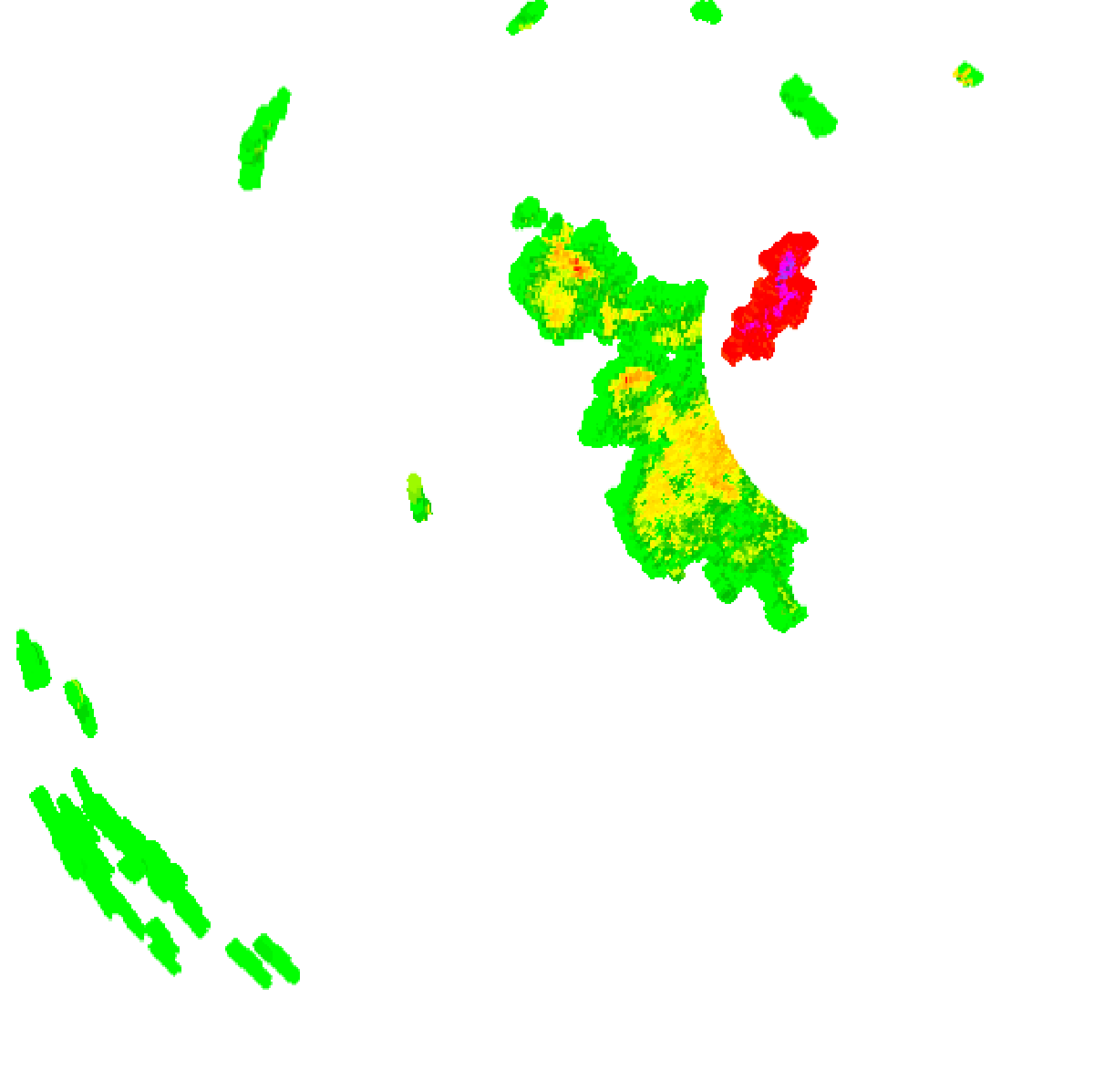
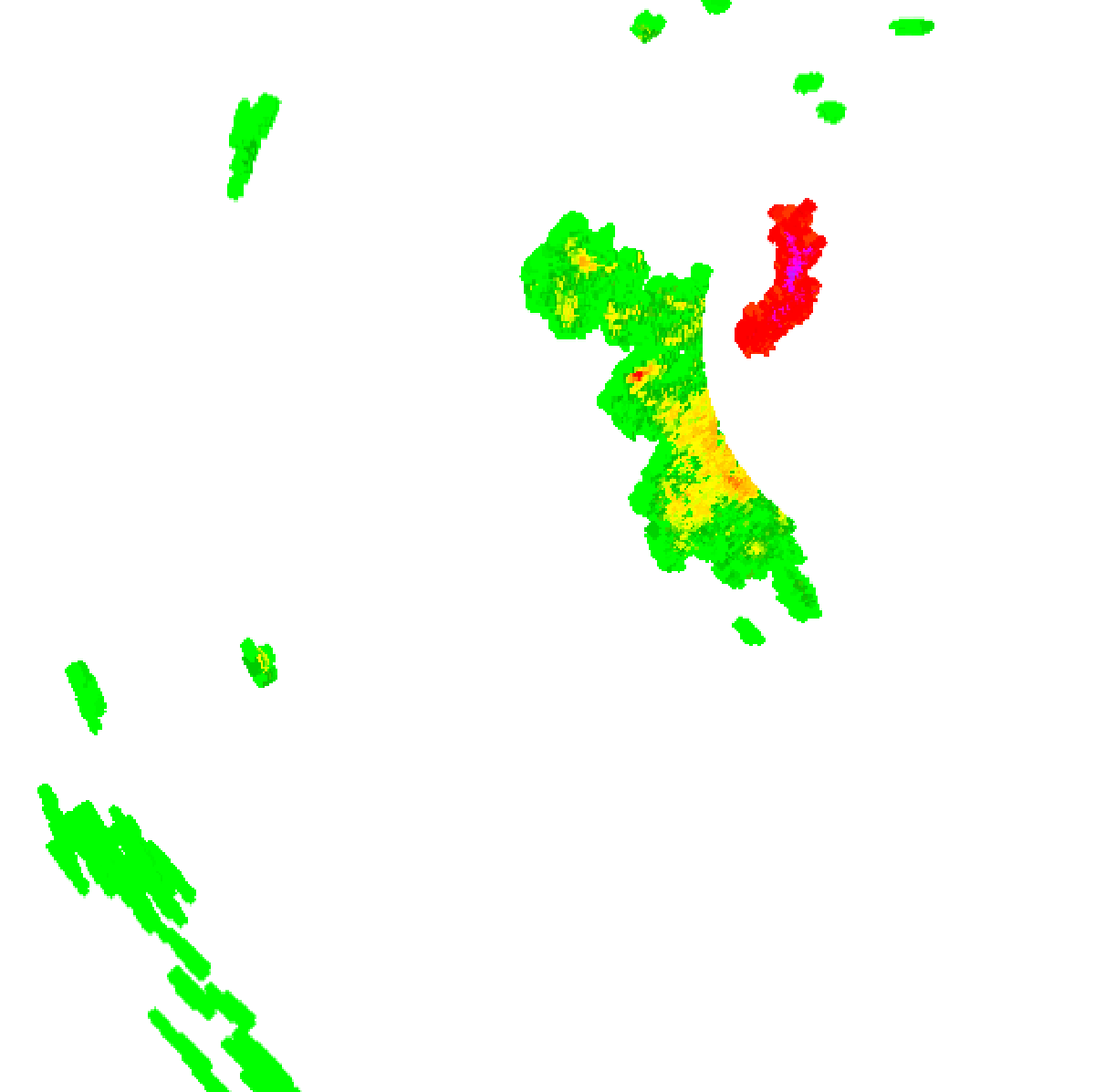
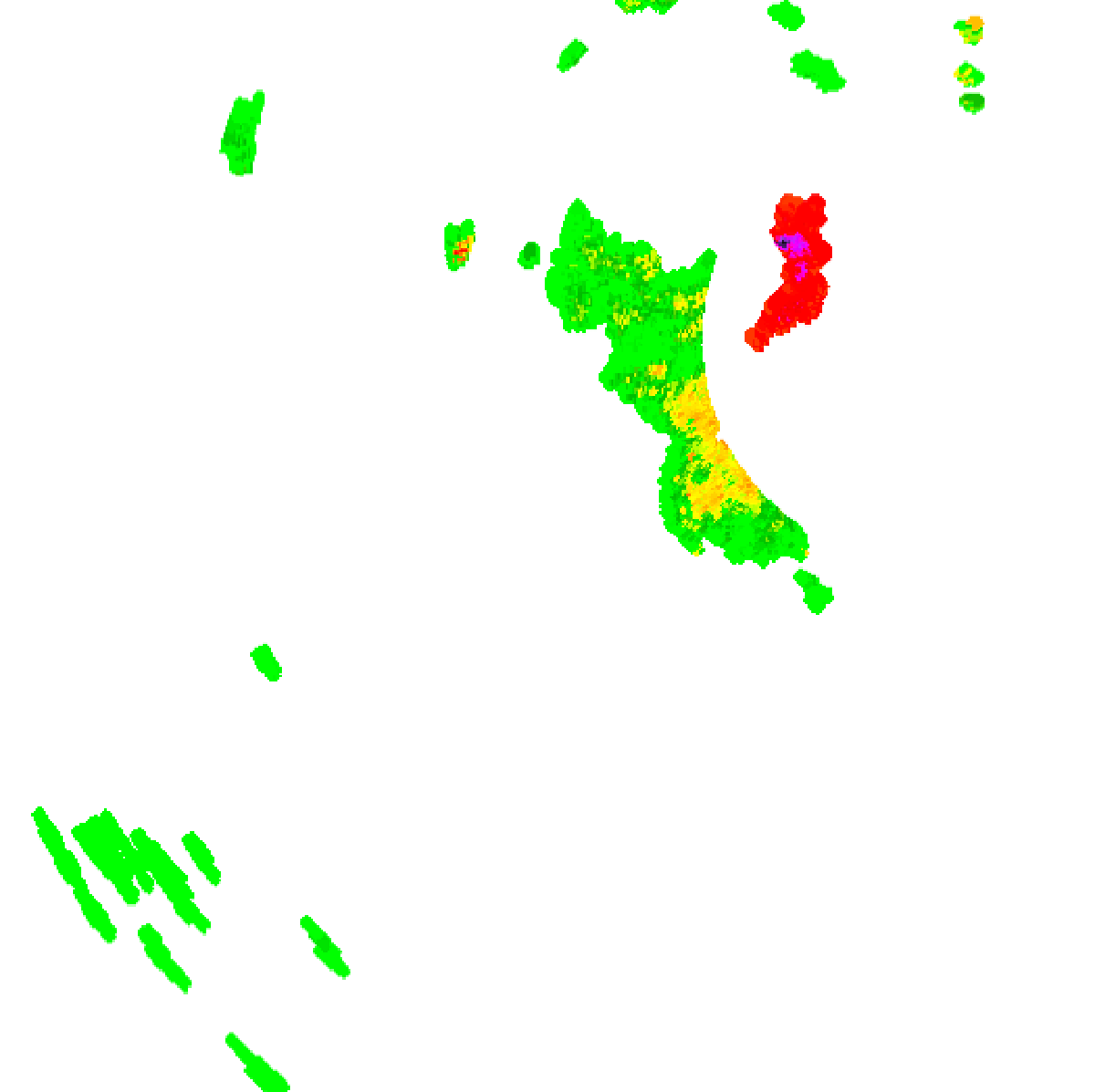
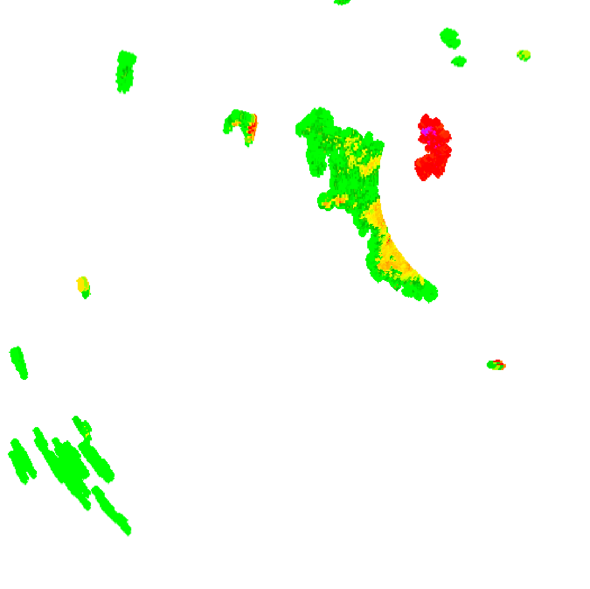
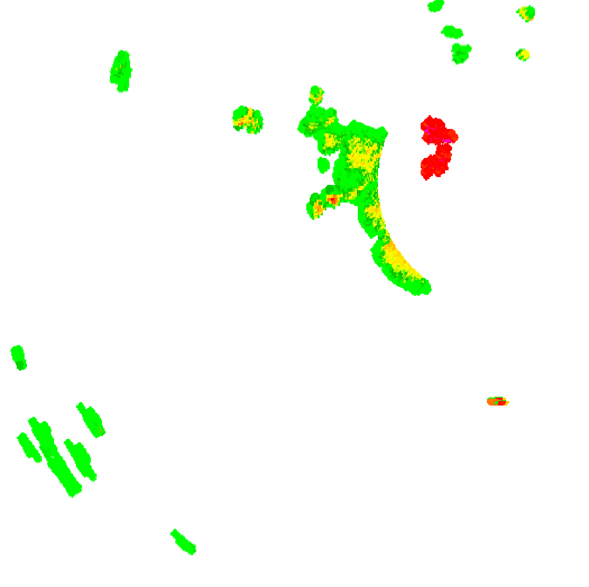
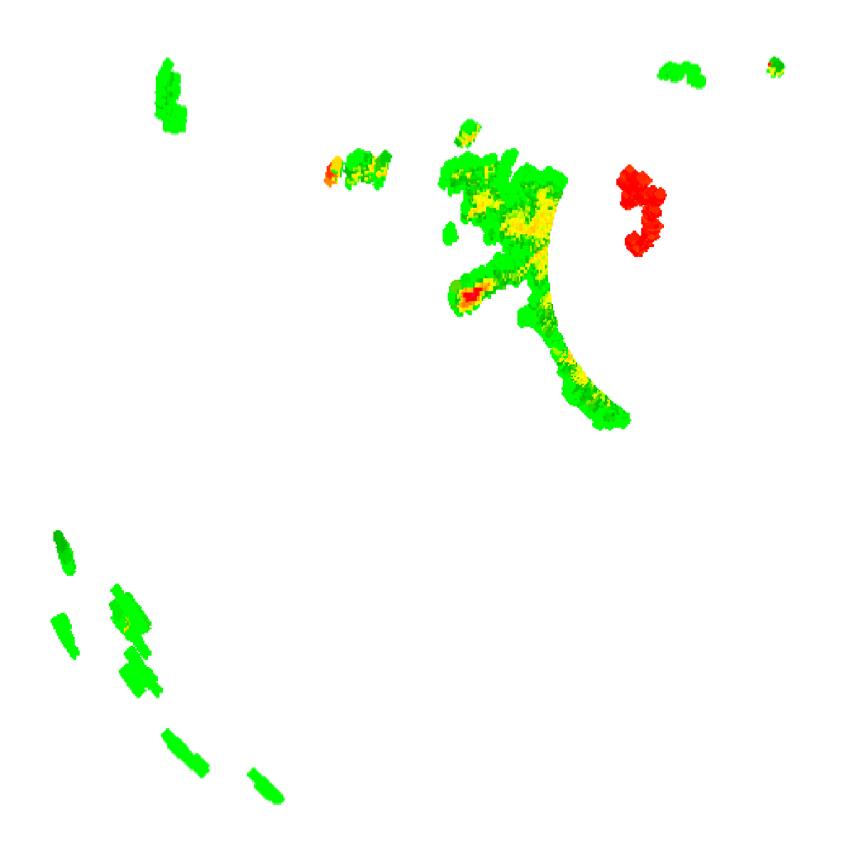
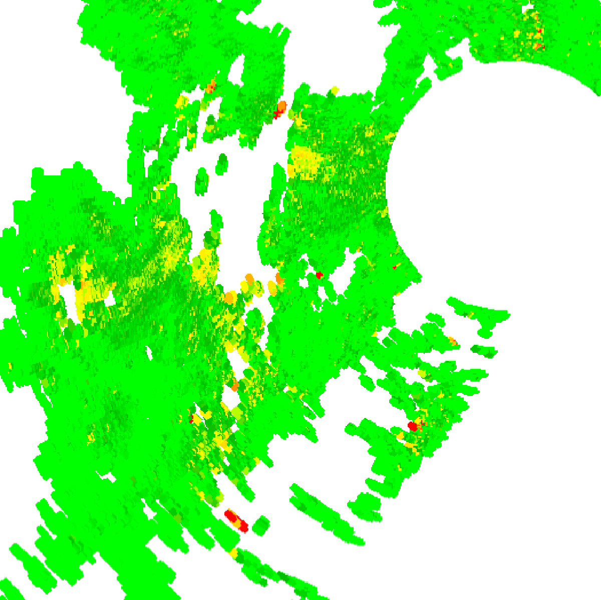
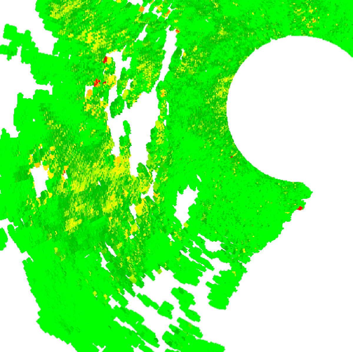
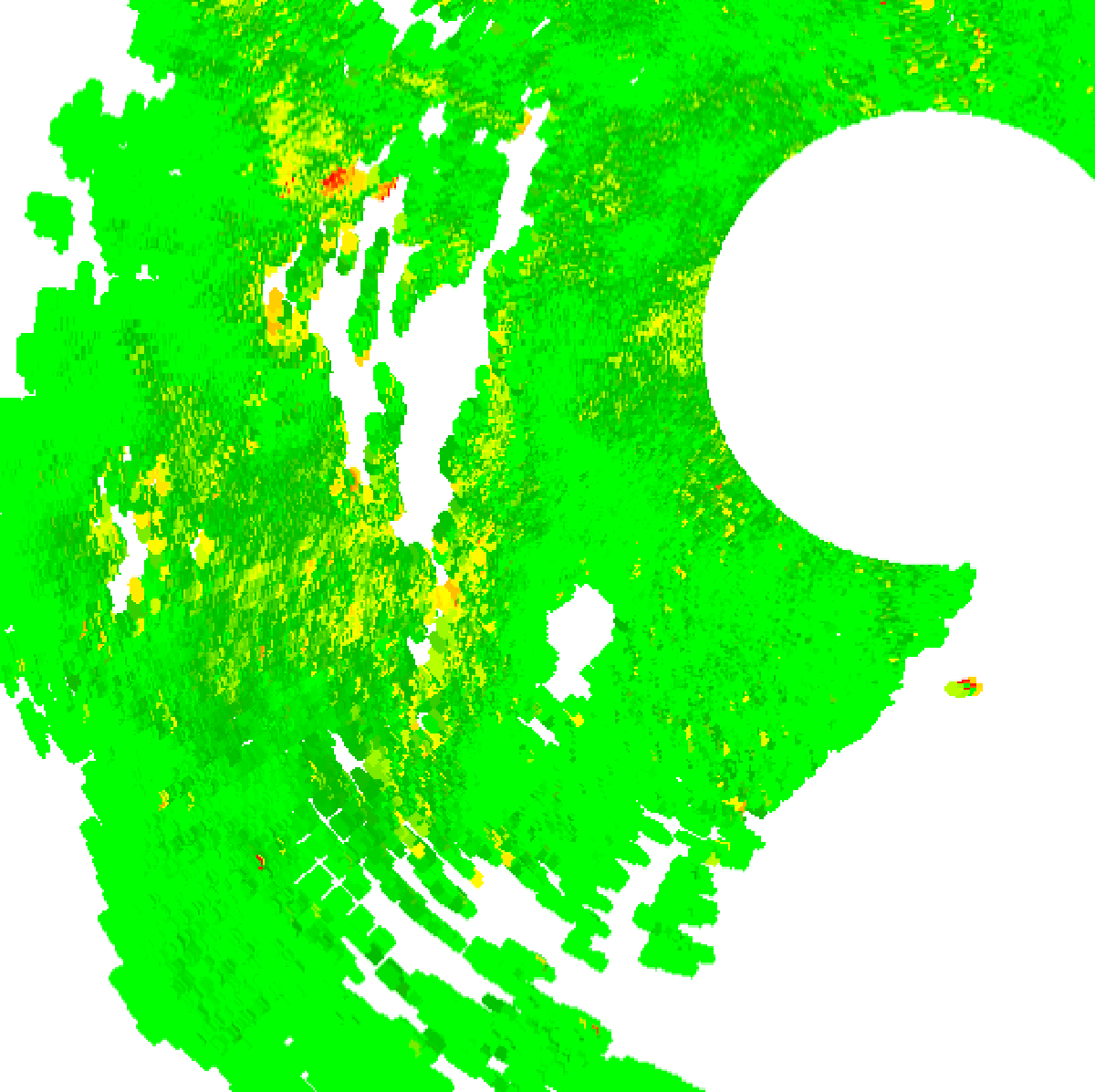
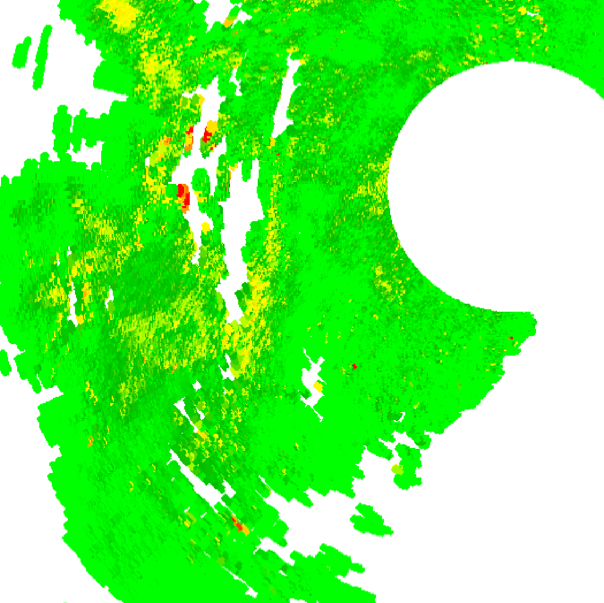
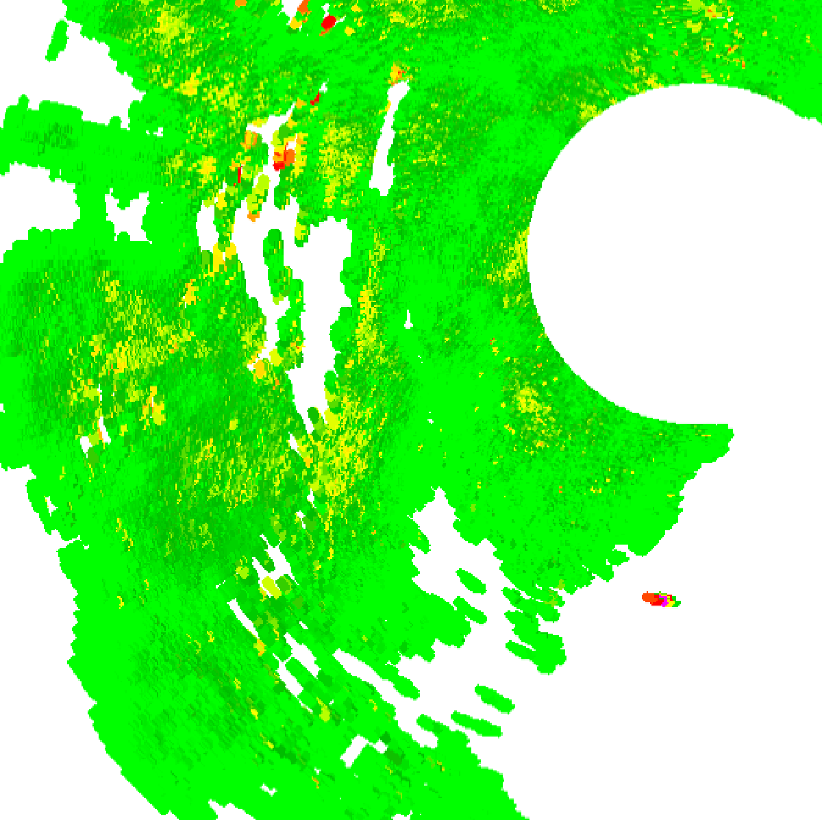
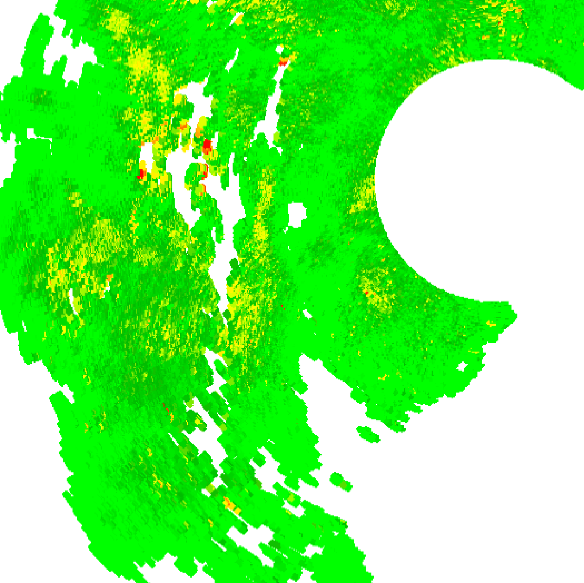
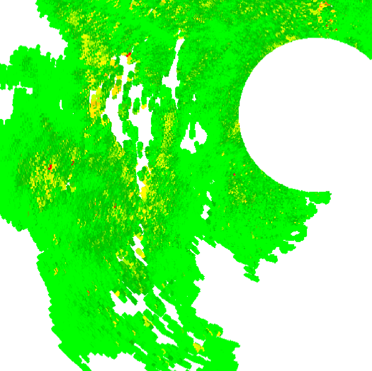
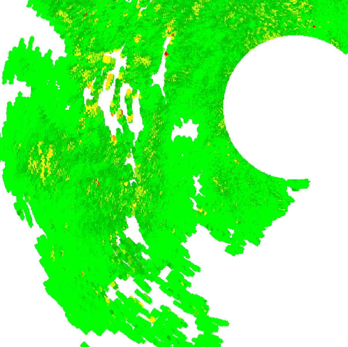
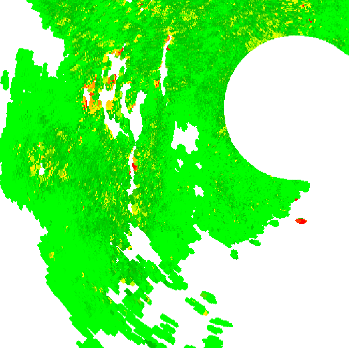
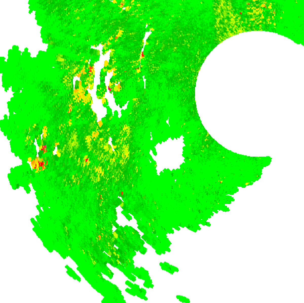
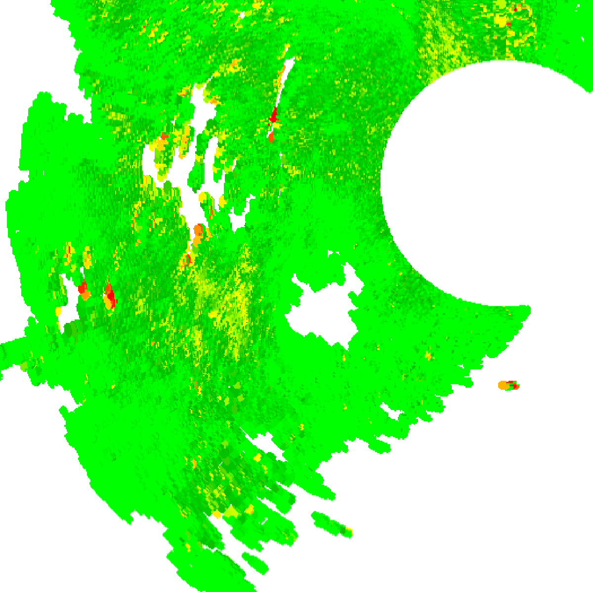
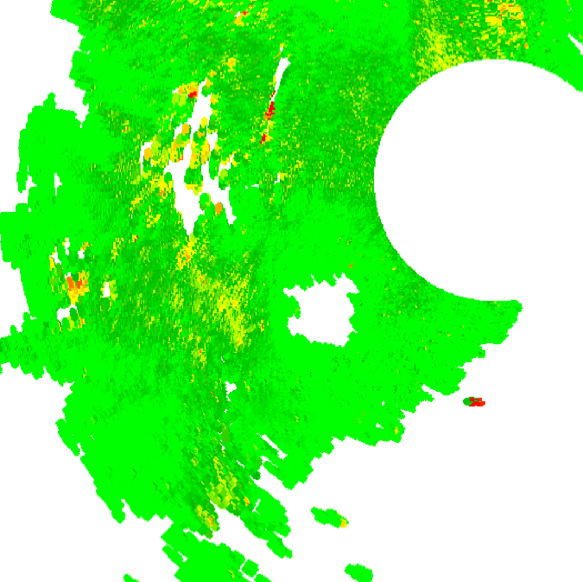
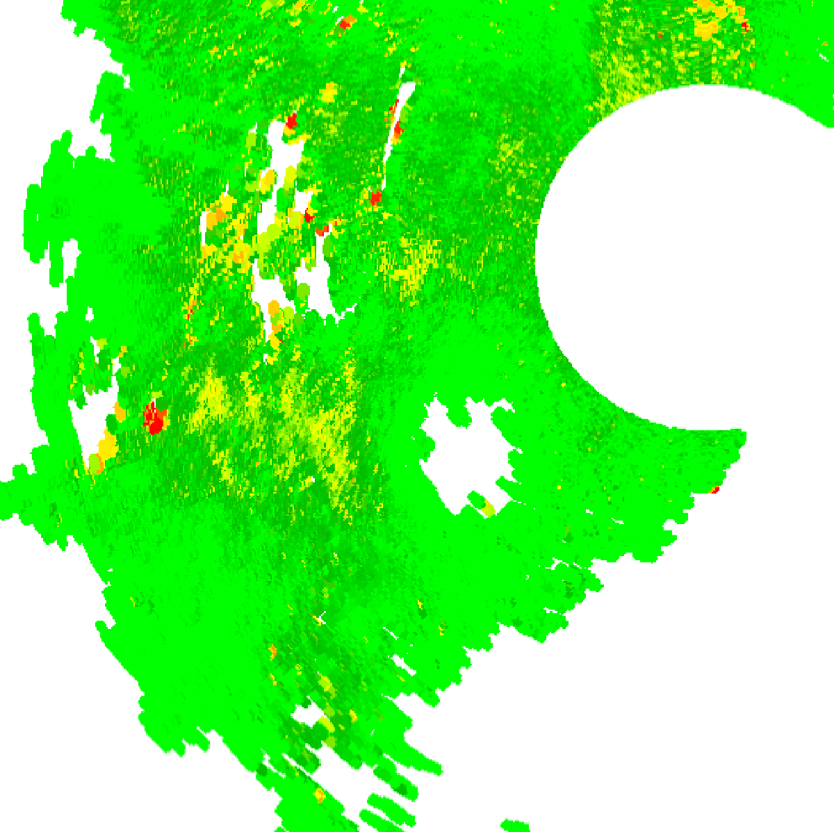
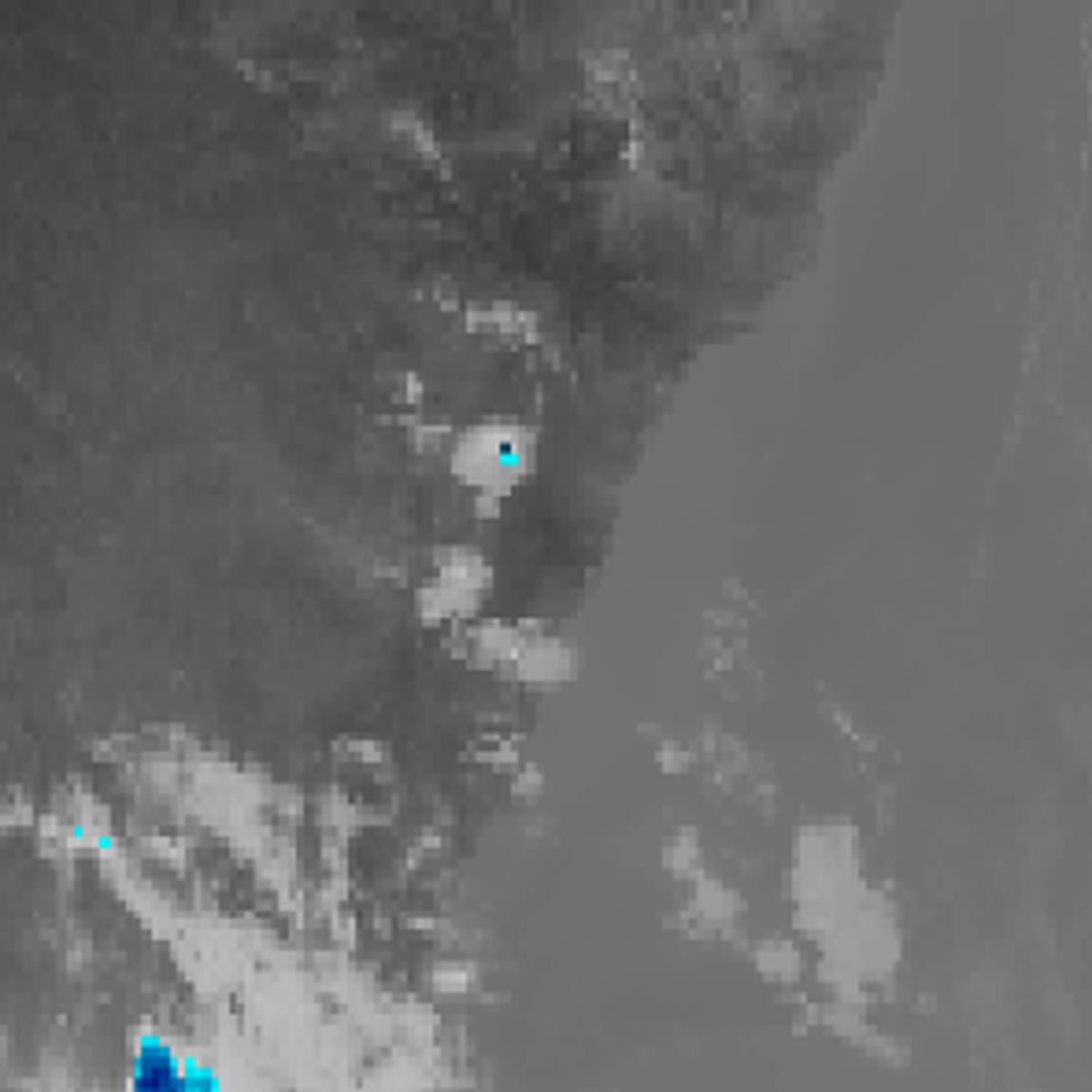
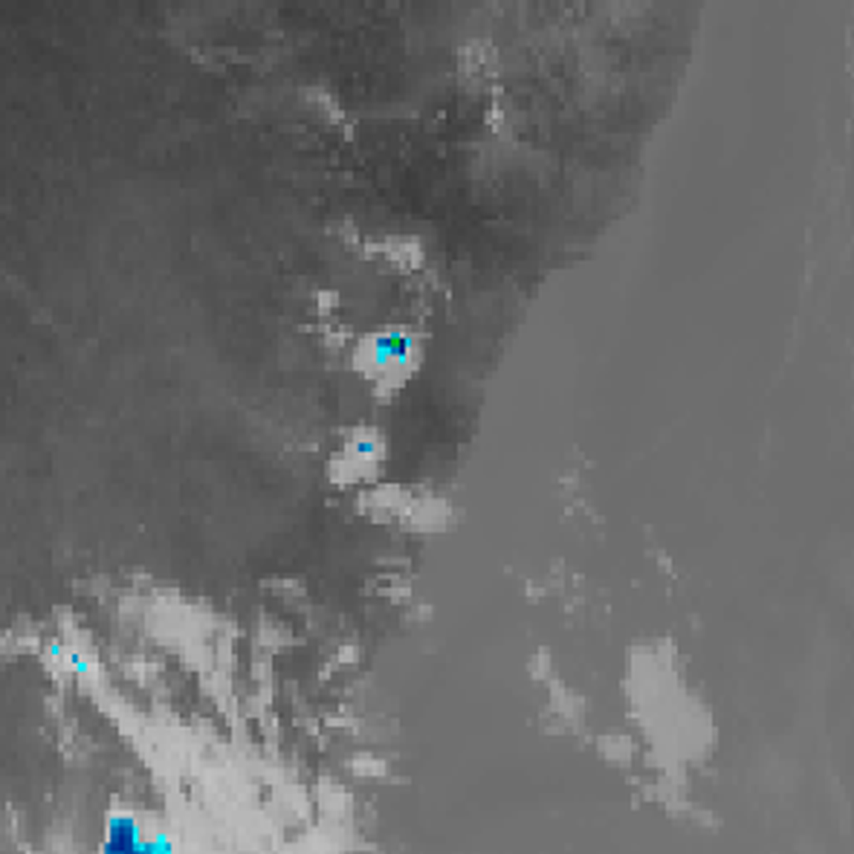
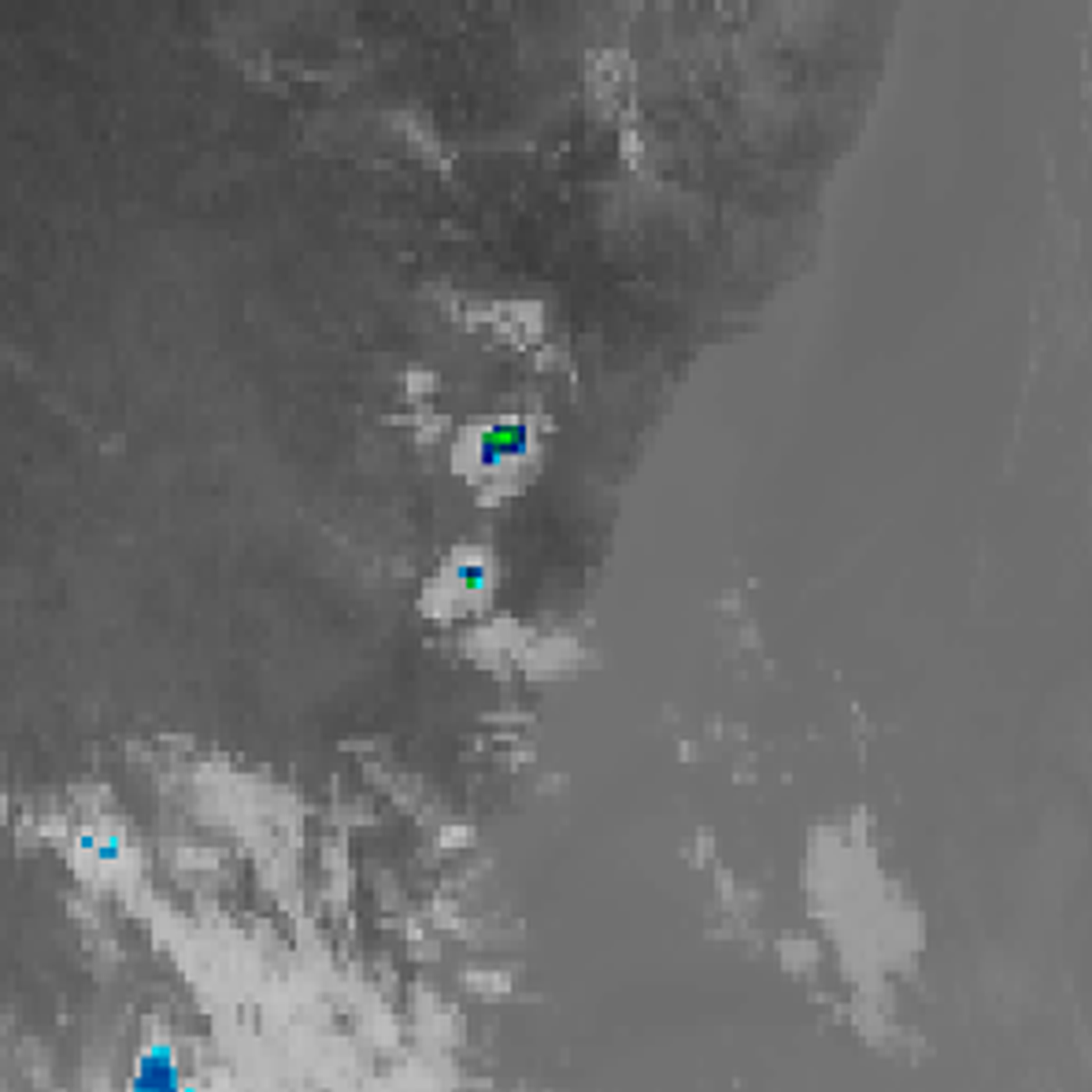
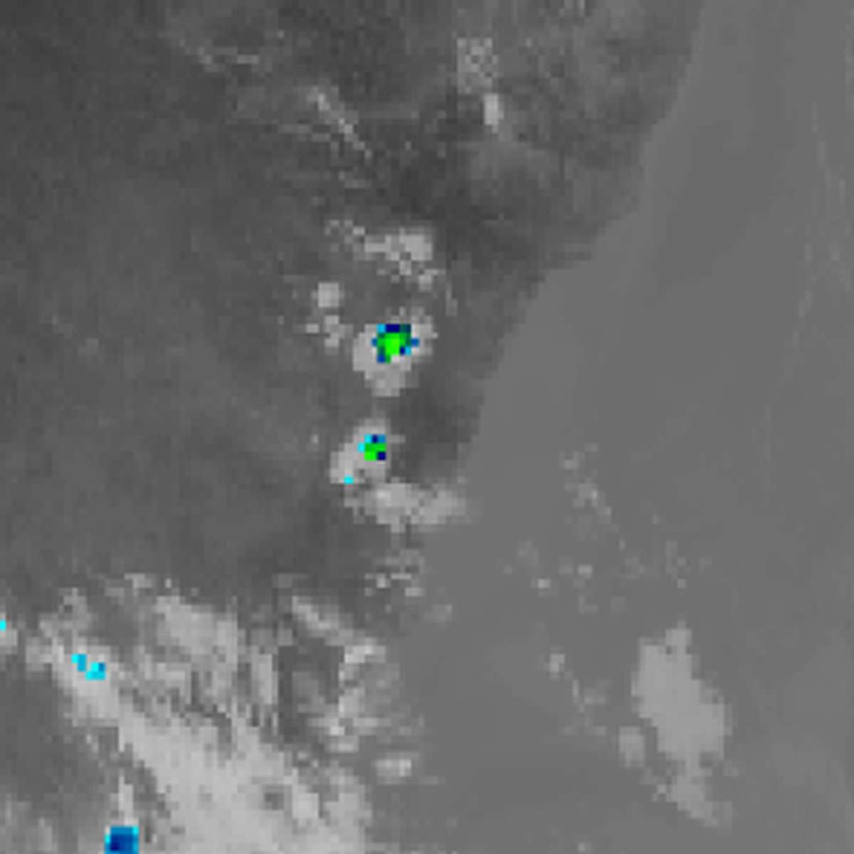
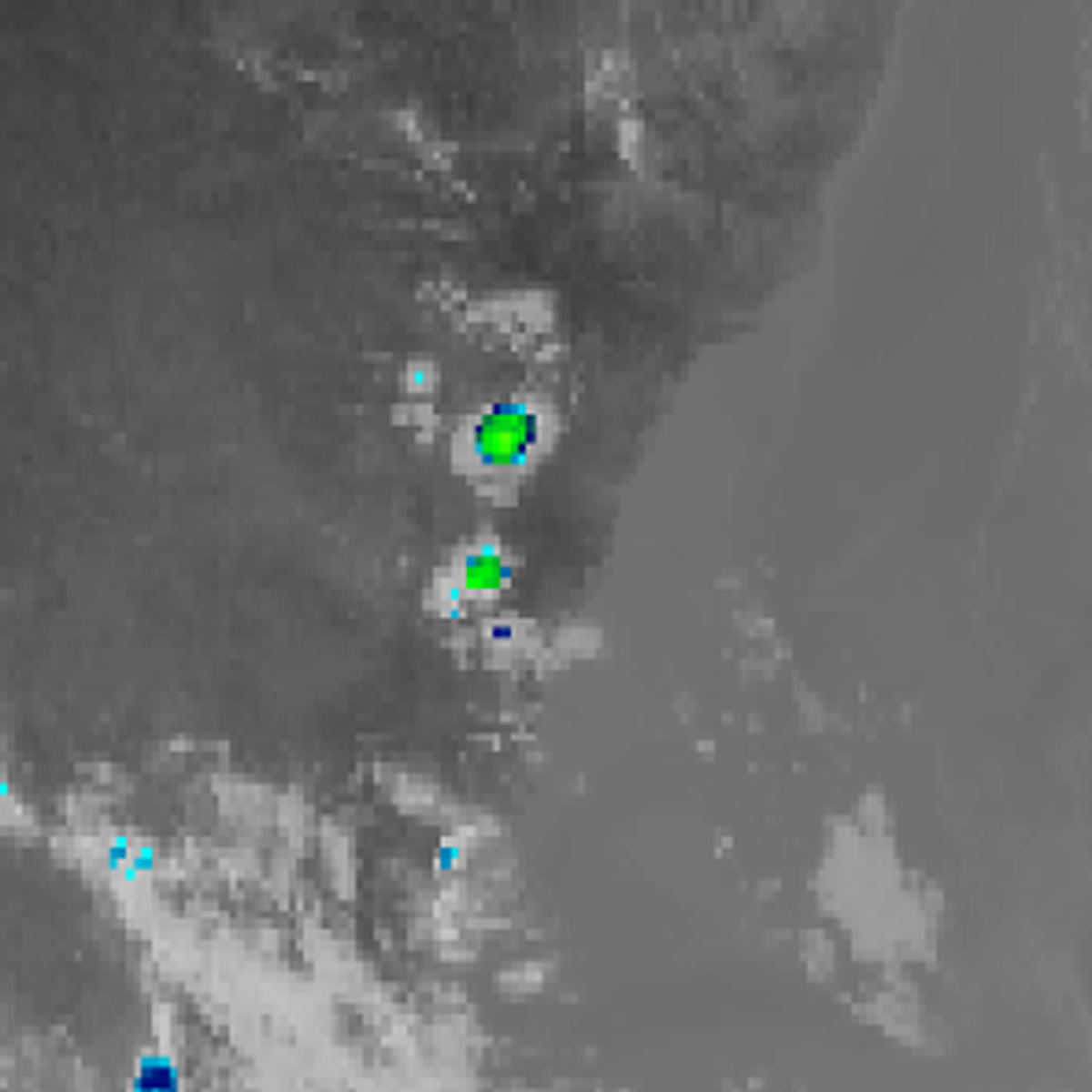
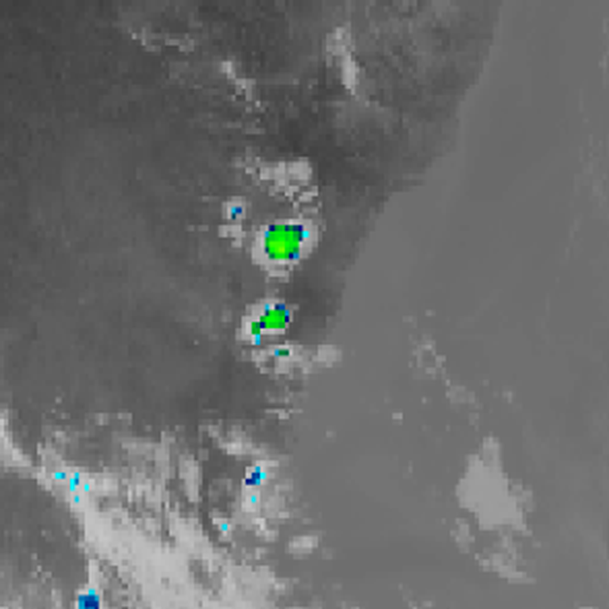
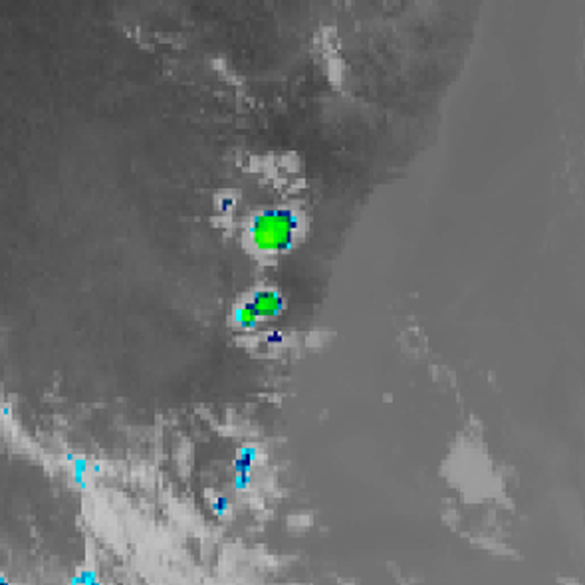
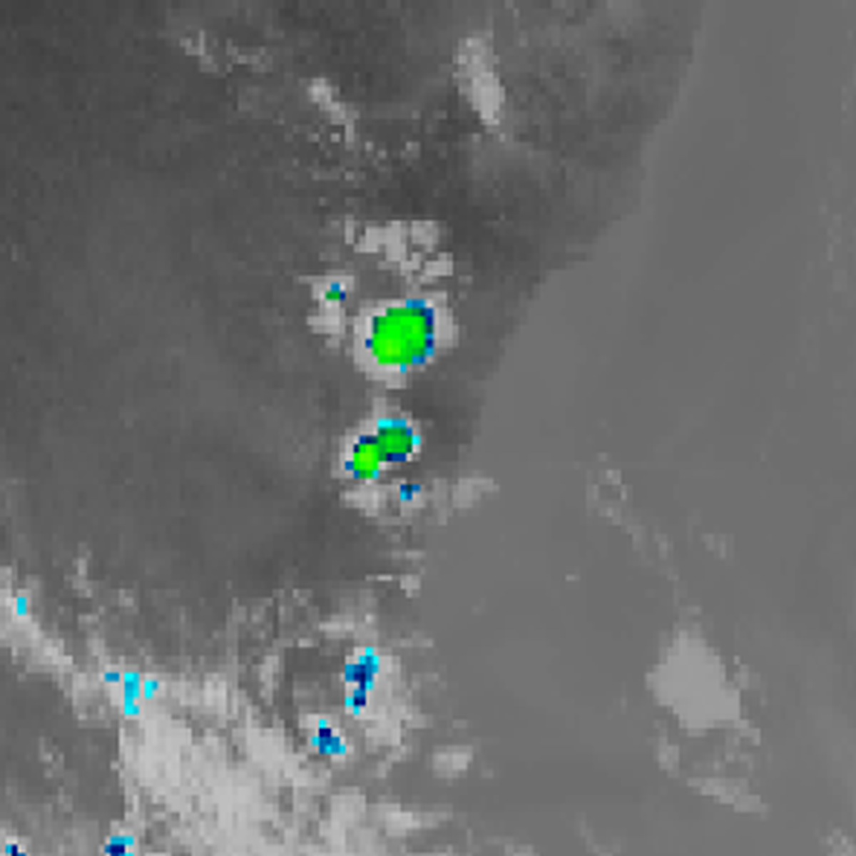
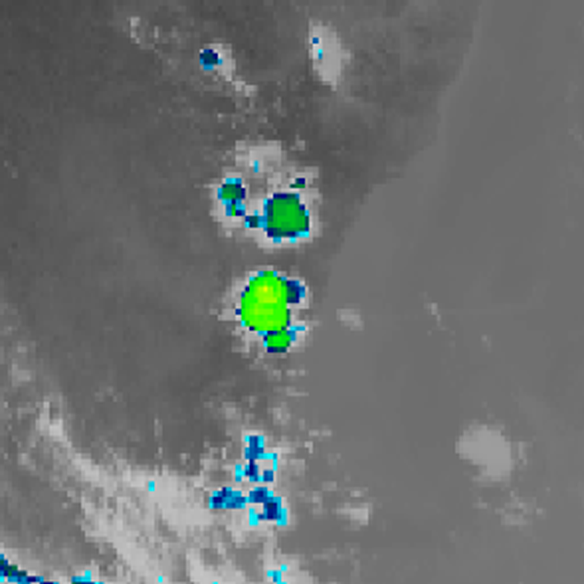
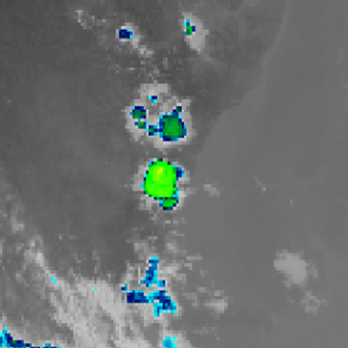
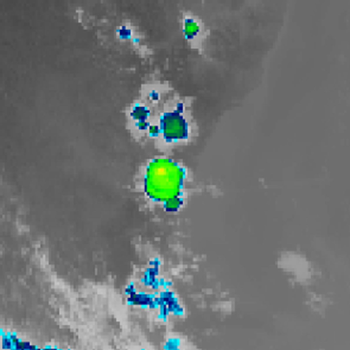
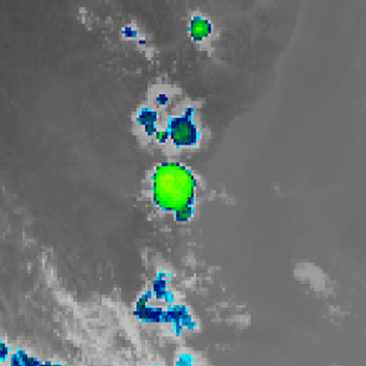
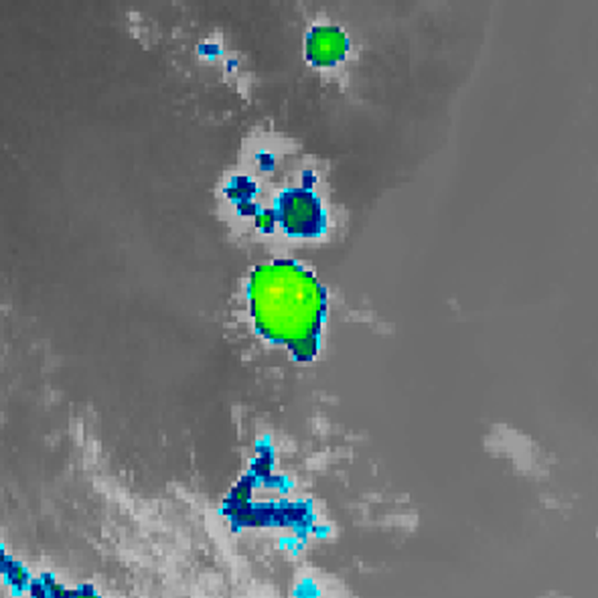
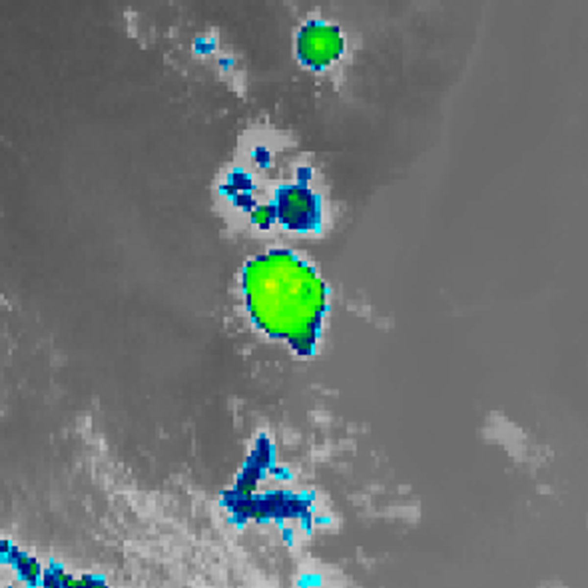
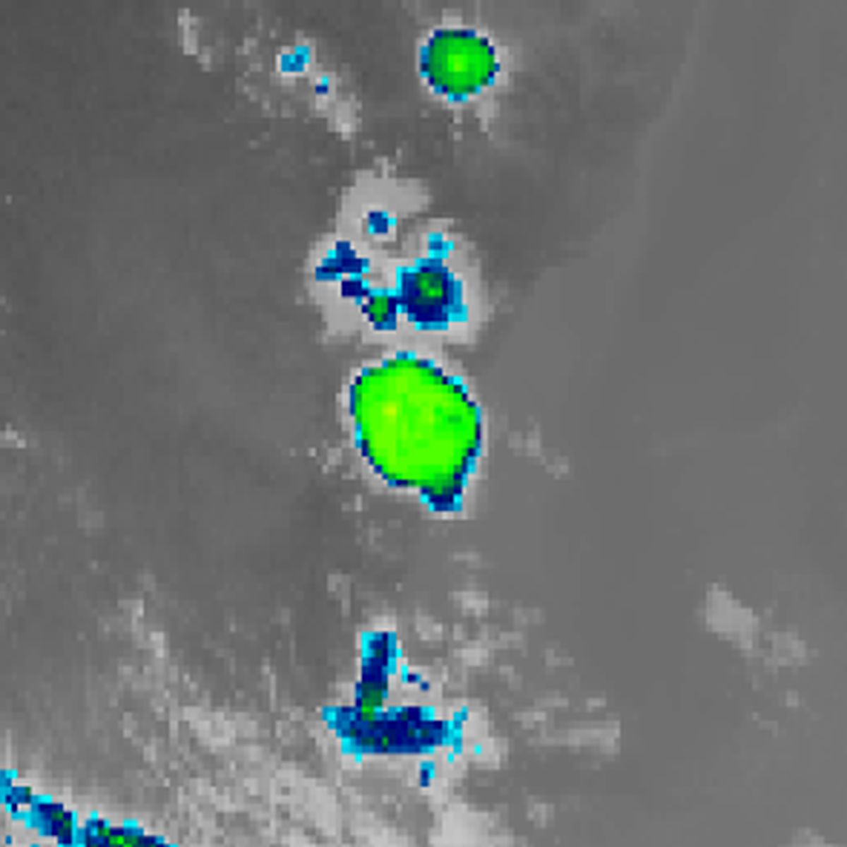
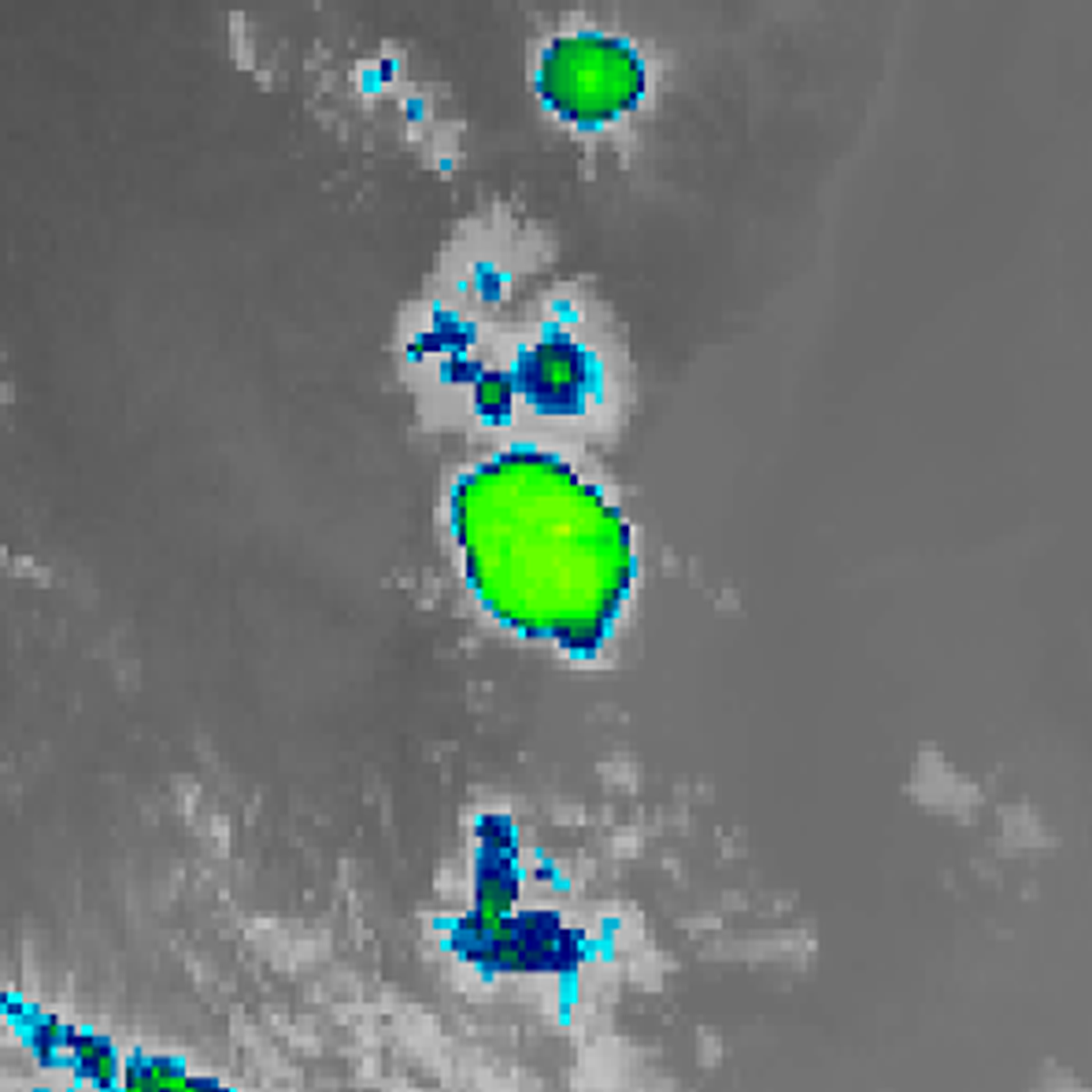
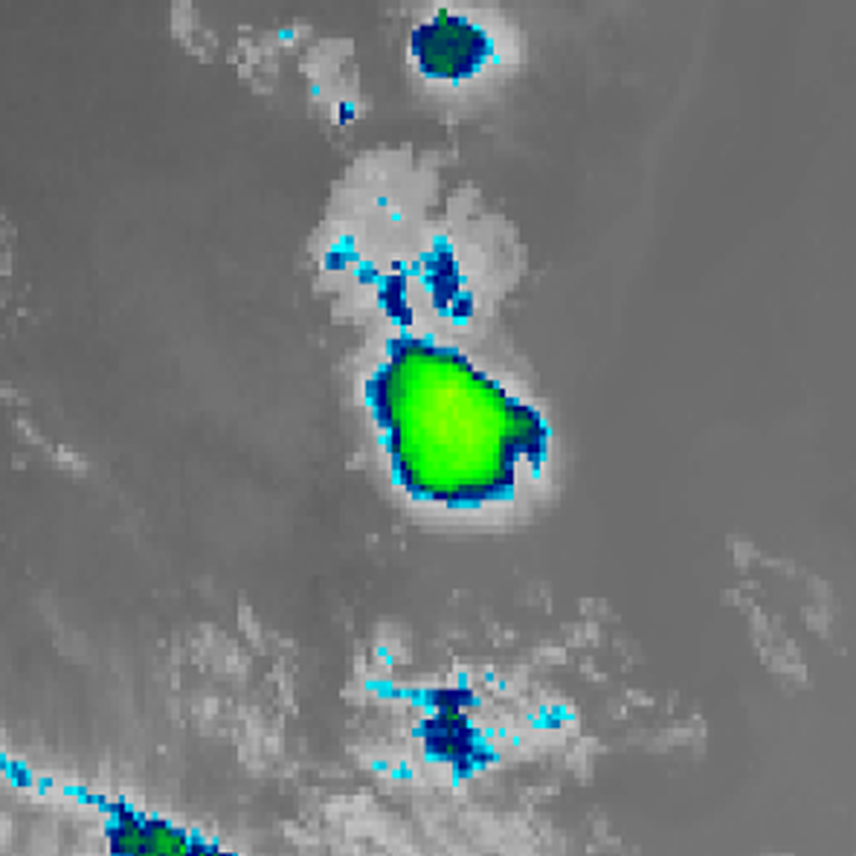
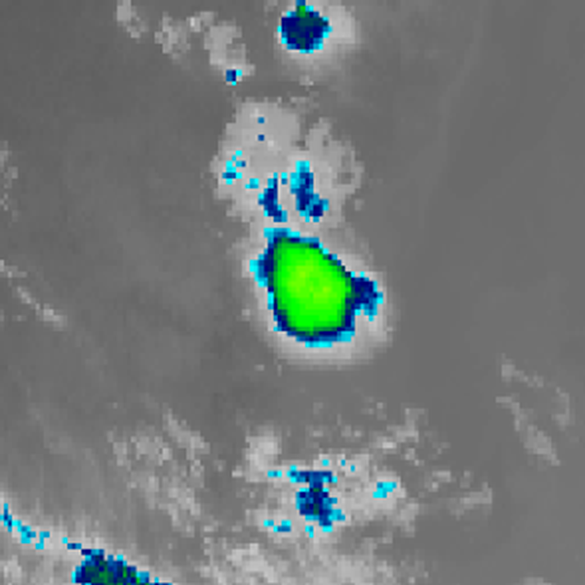
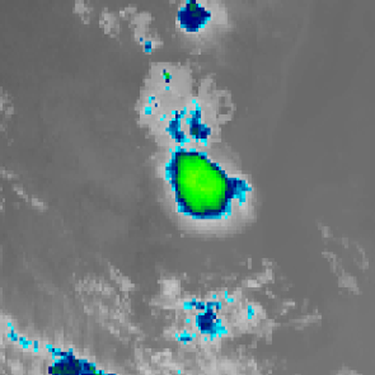
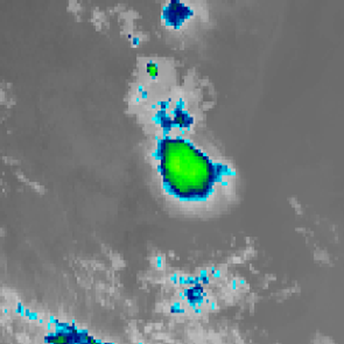
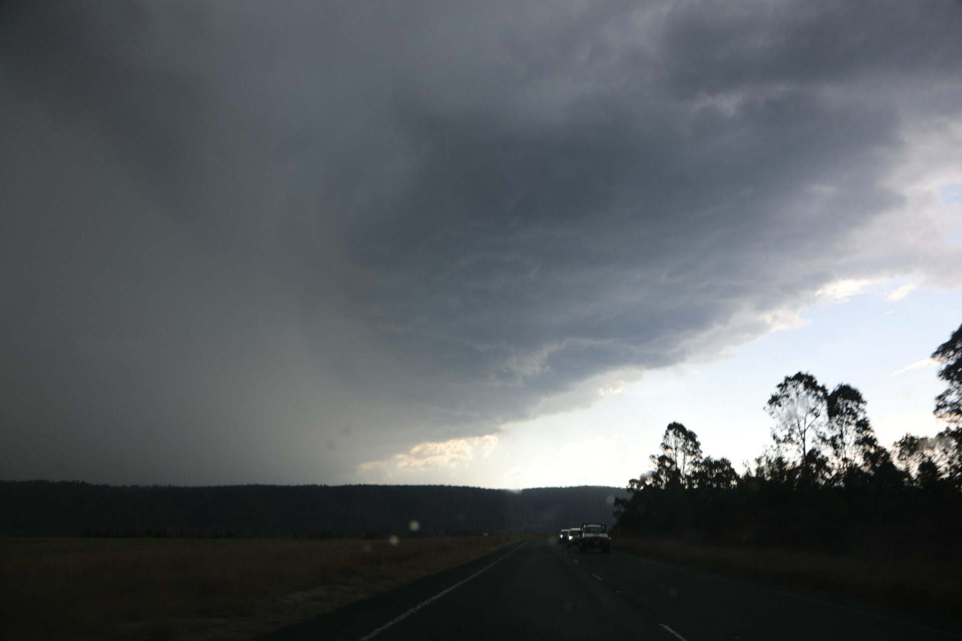
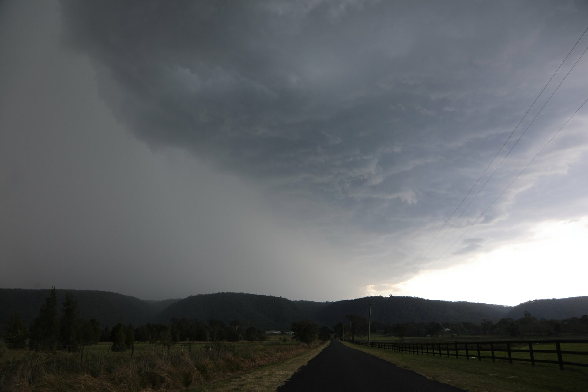
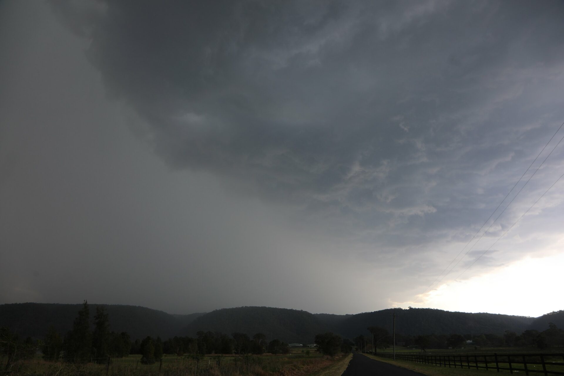
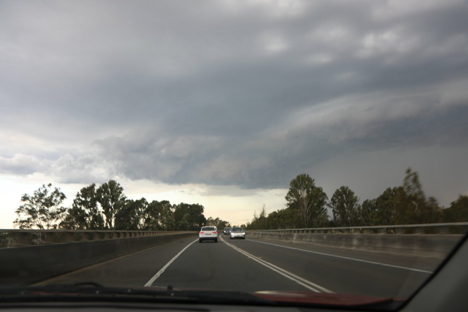
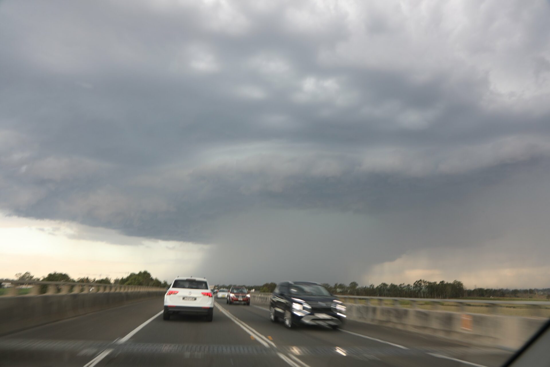
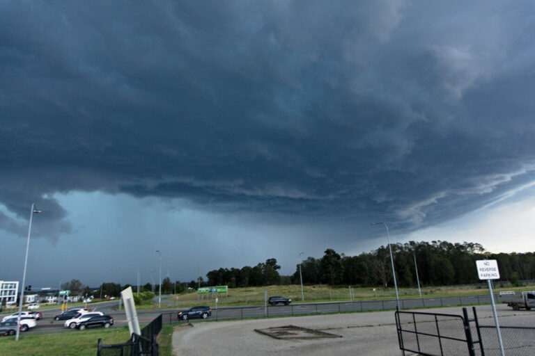
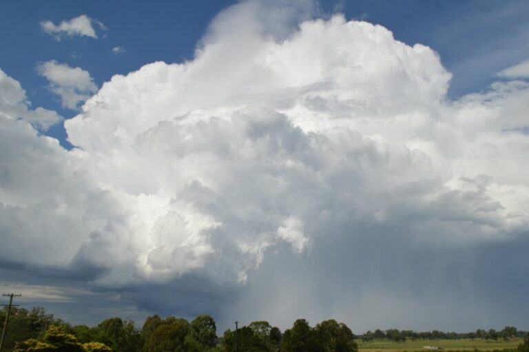
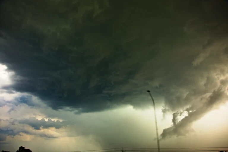
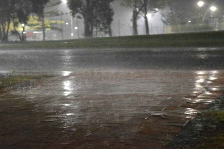
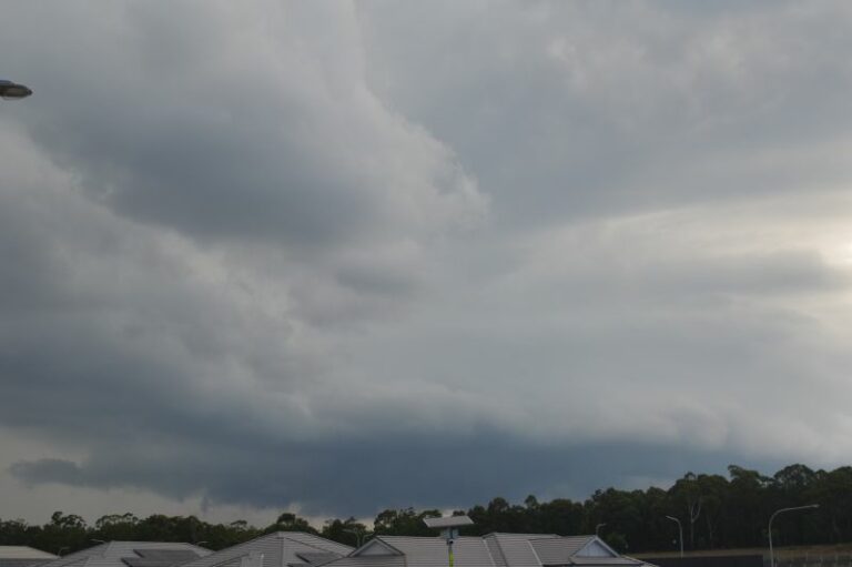
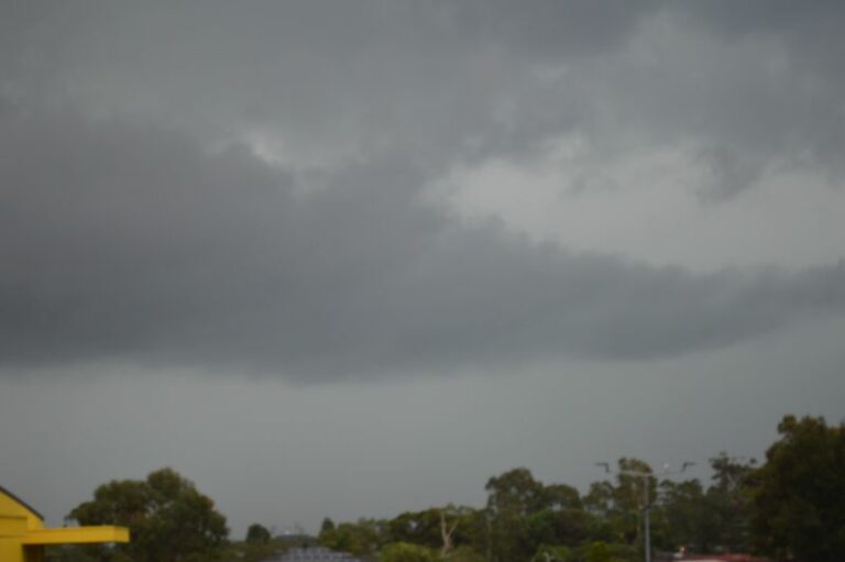
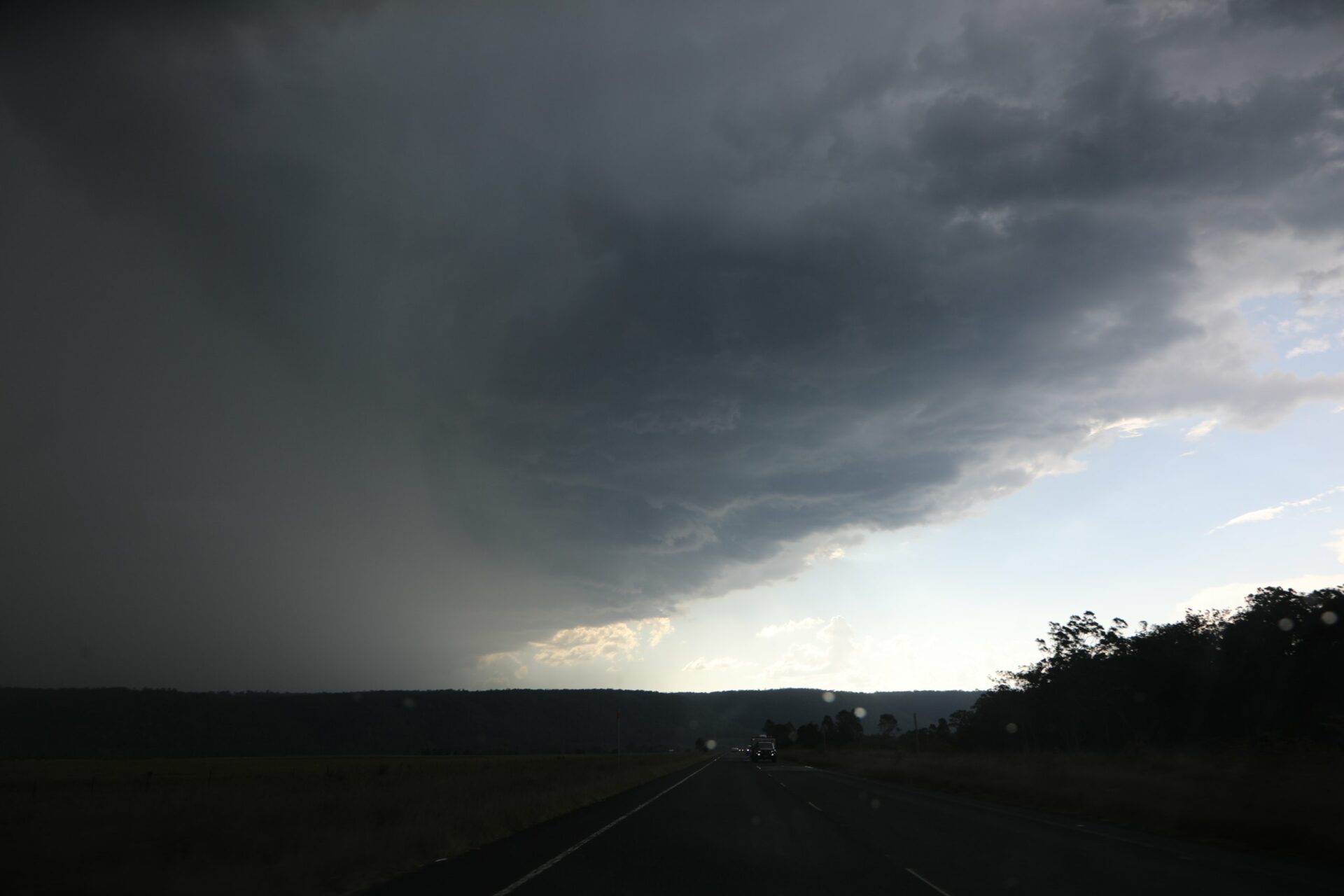
Hailstorms developed over the lower Blue Mountains after 2pm with frequent lightning the main feature near Warragamb Dam hinterland. One sparticular base and updraft consolidated and began to exhibit a green tinge which prompted a rapid move to chase mode.
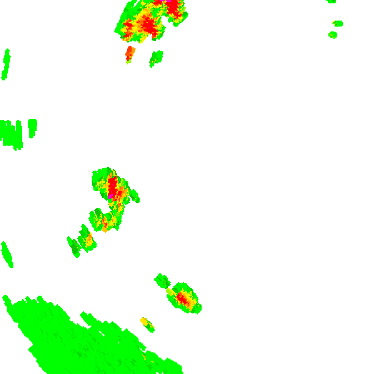
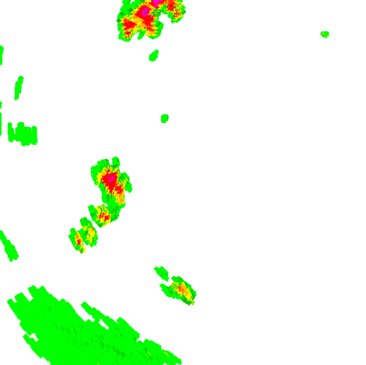
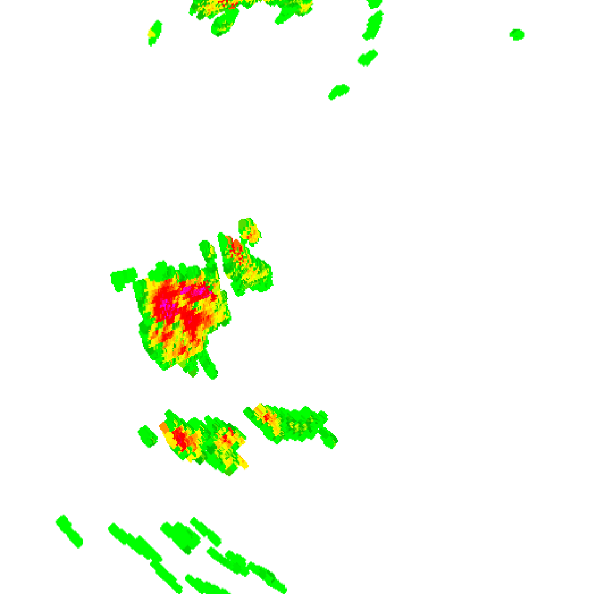
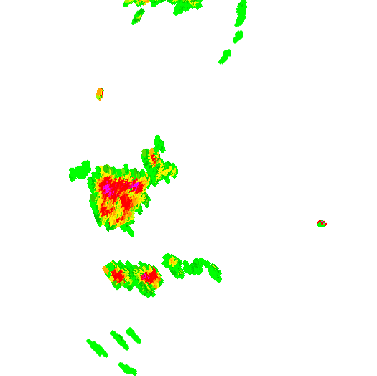
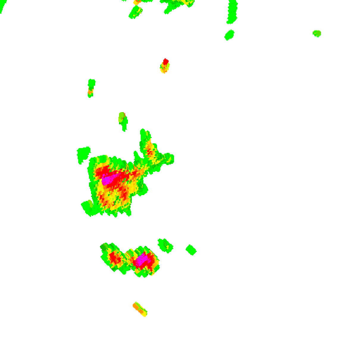
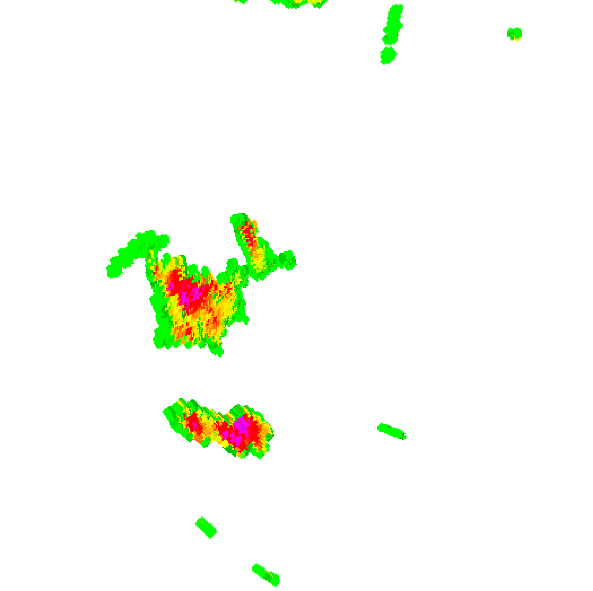
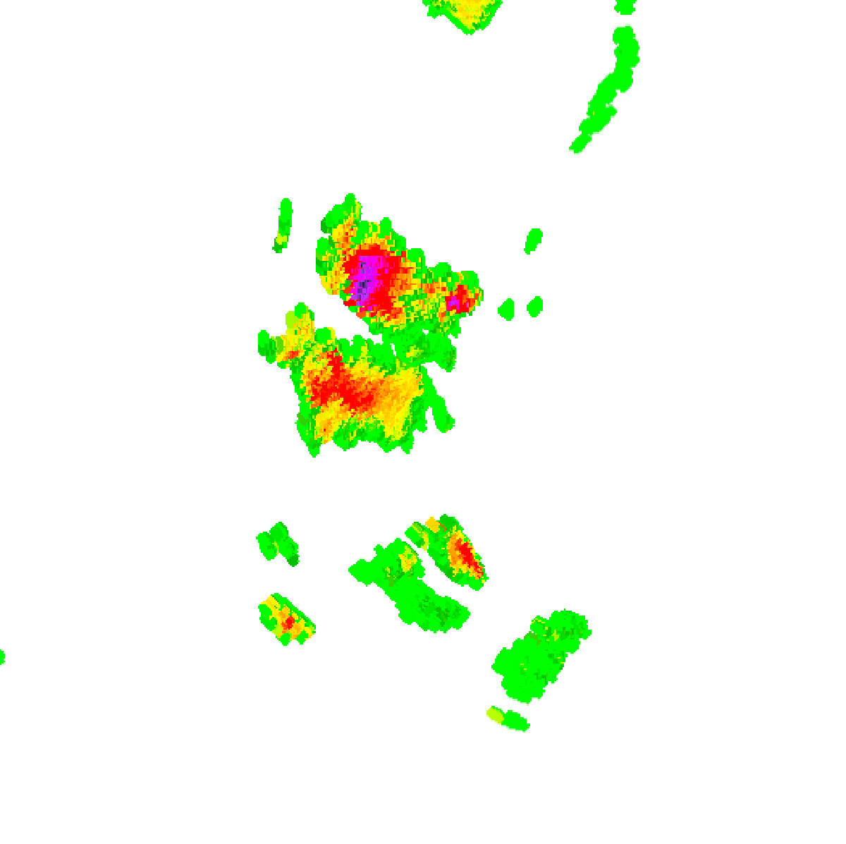
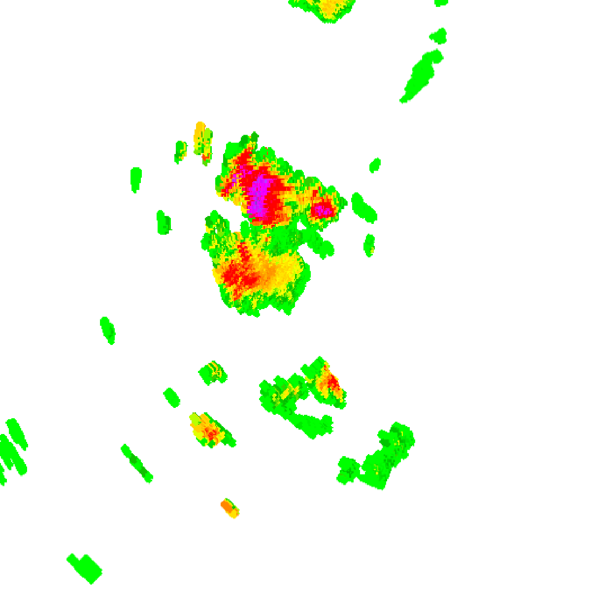
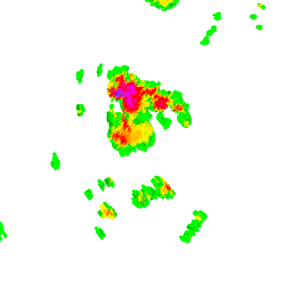
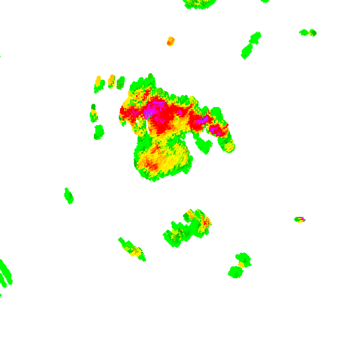
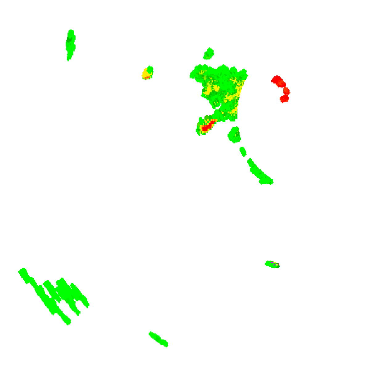
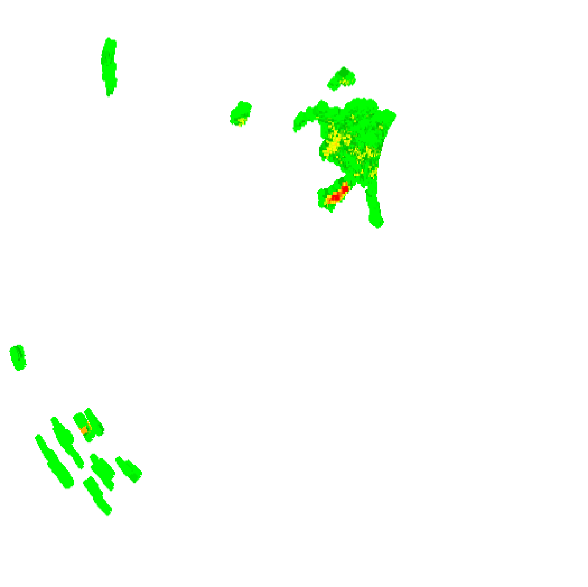
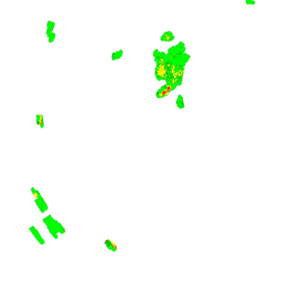
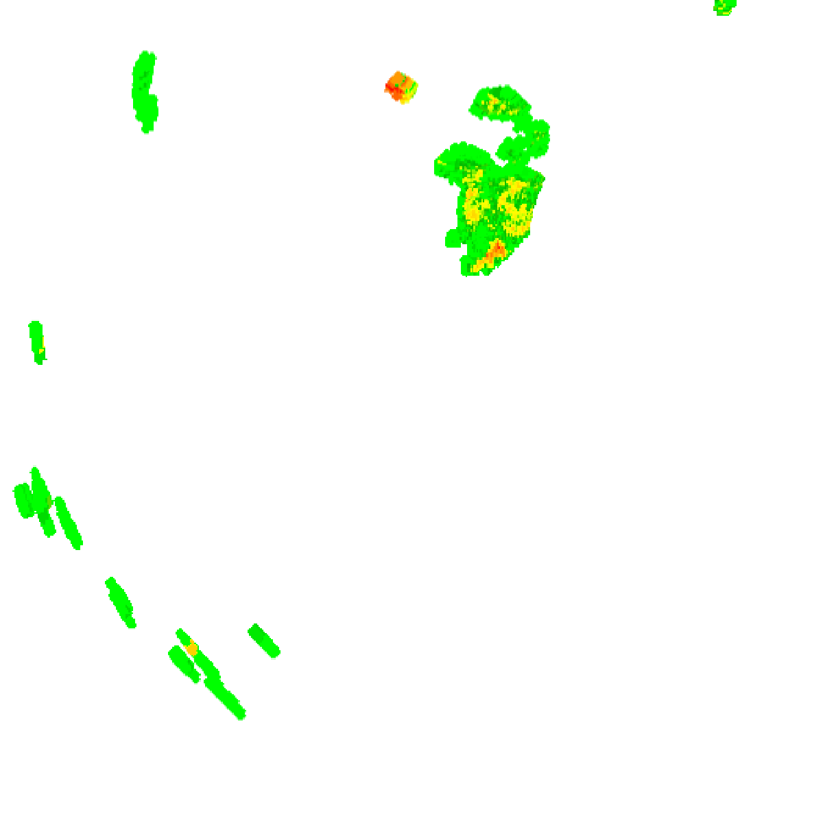
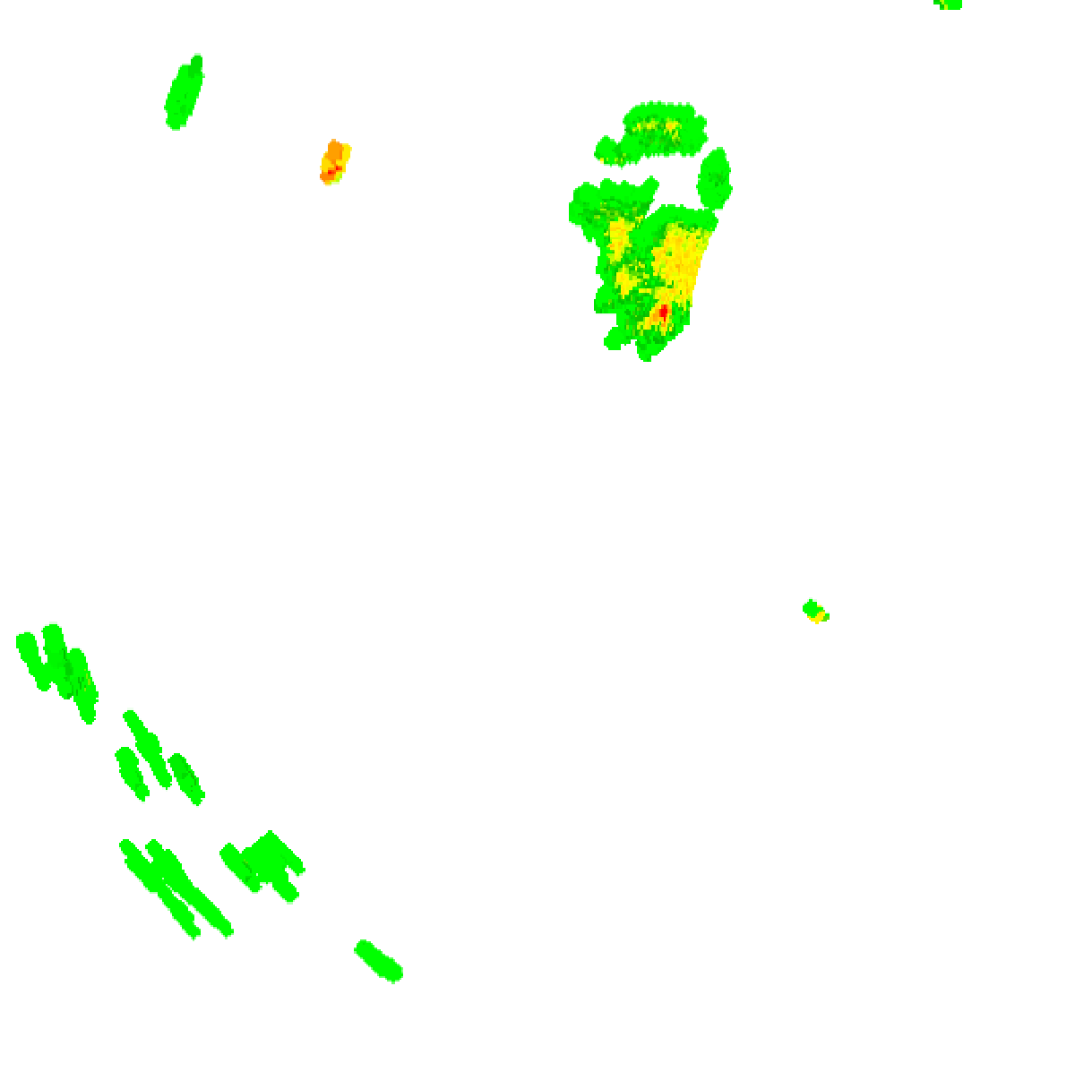
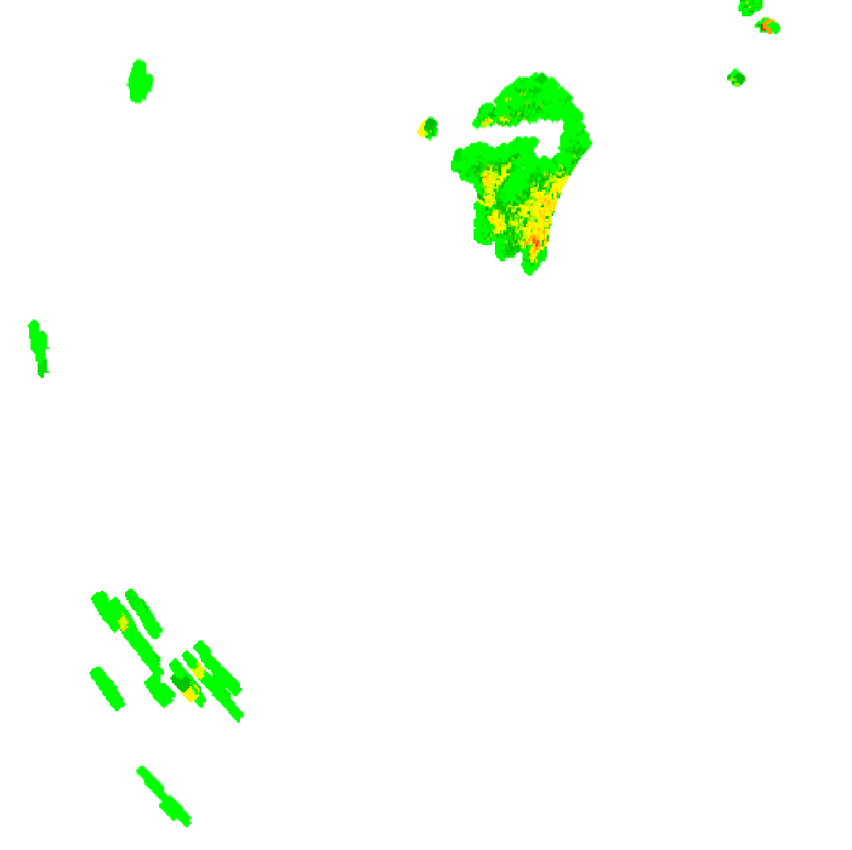
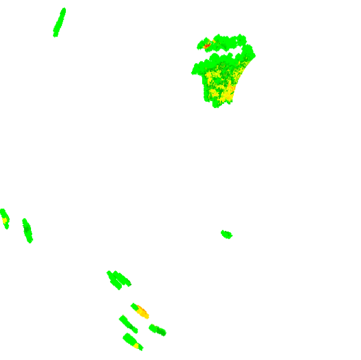
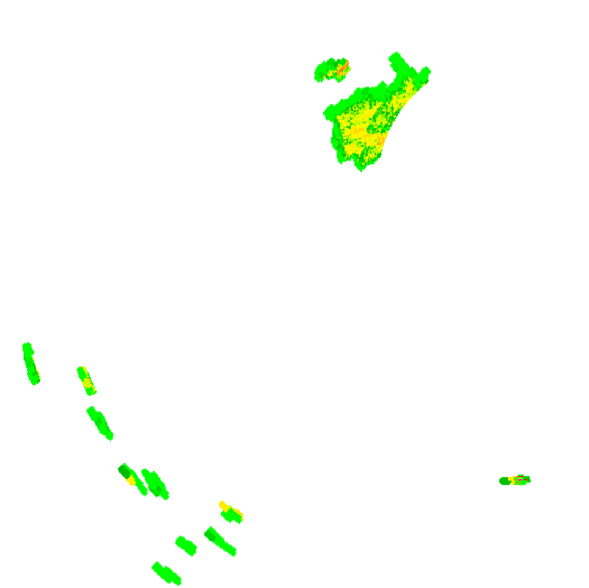
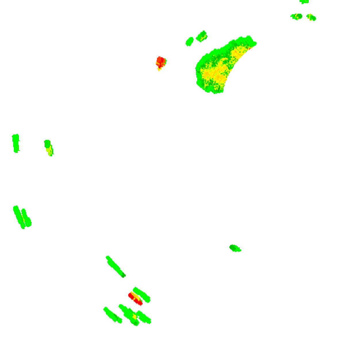
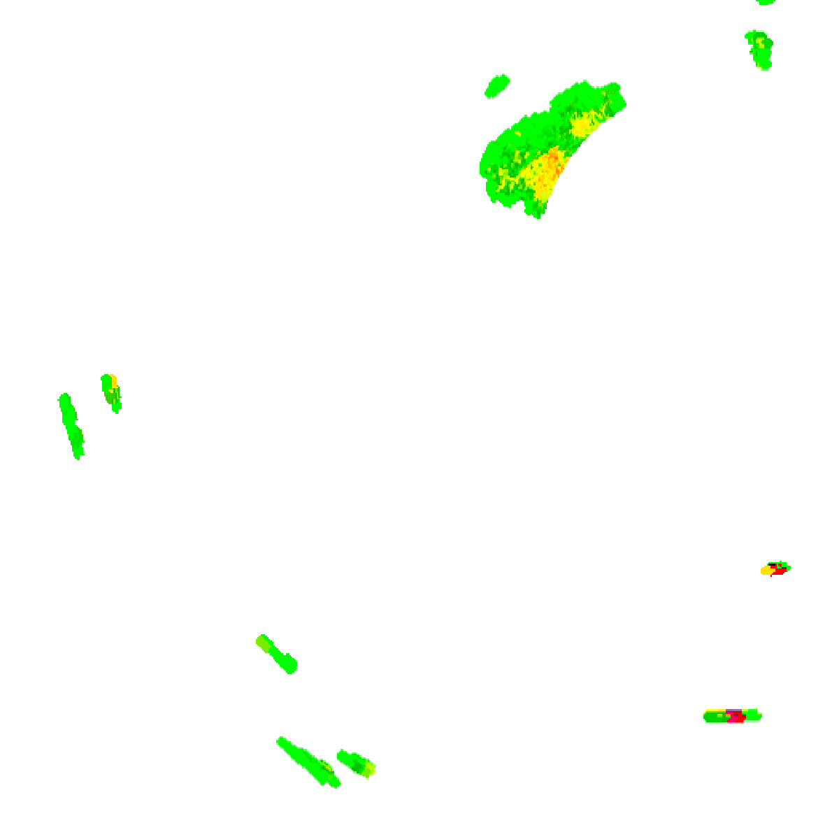
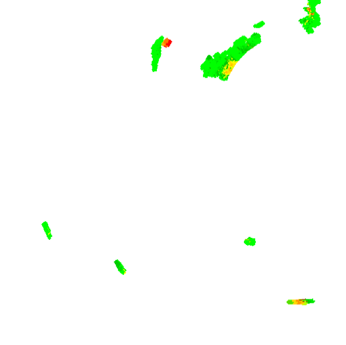
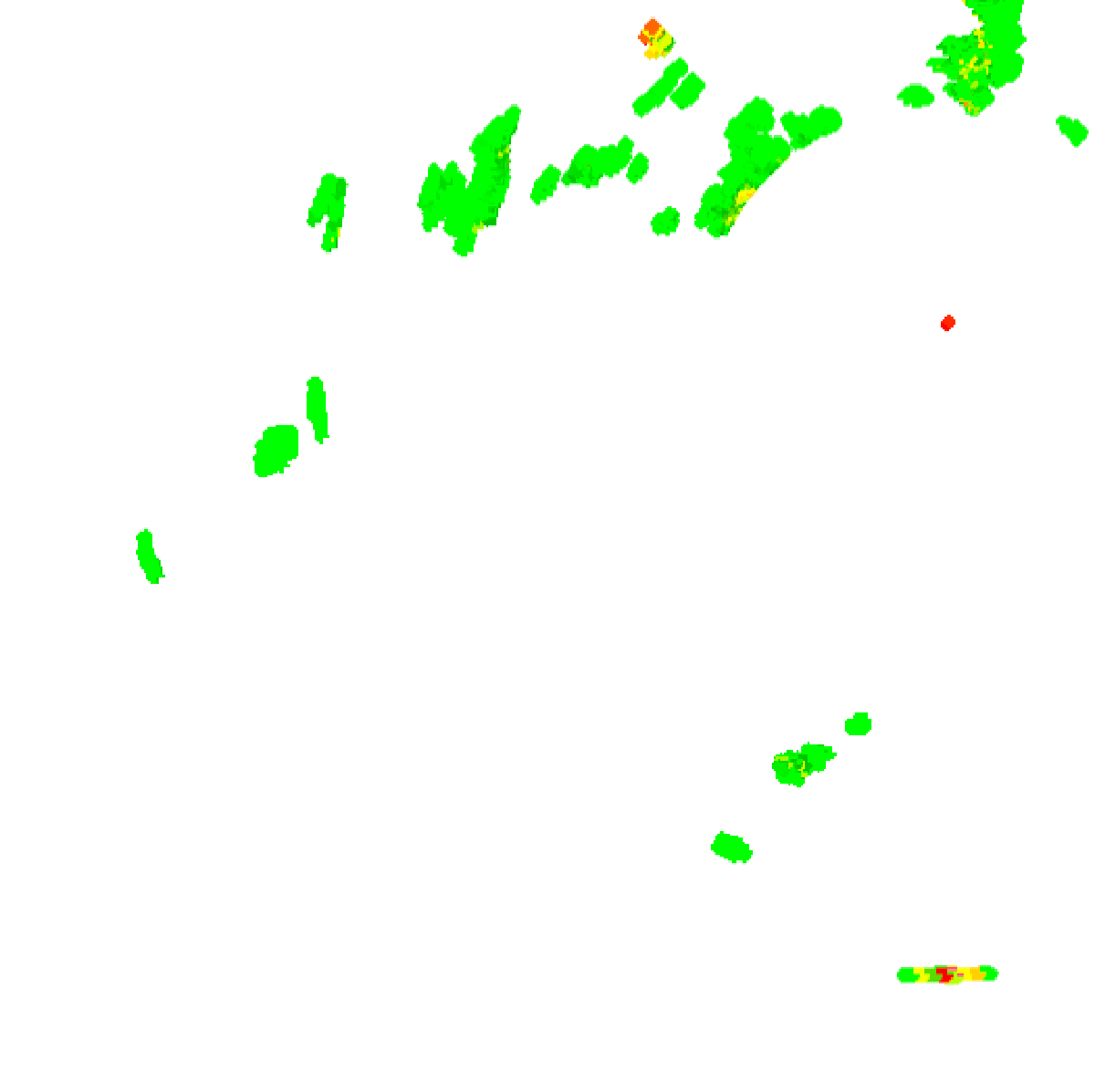
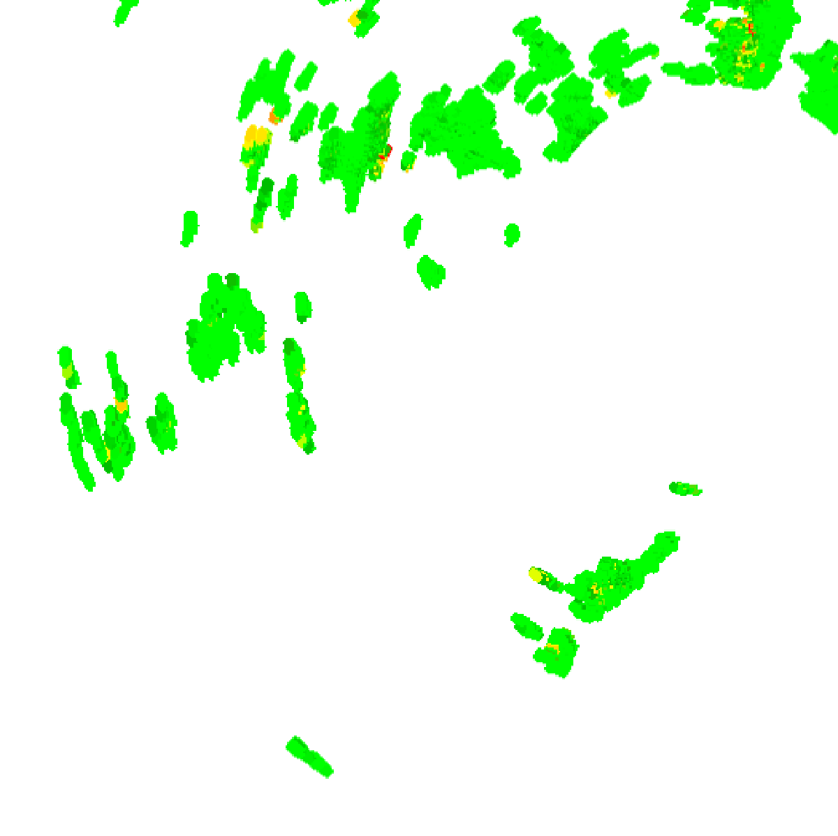
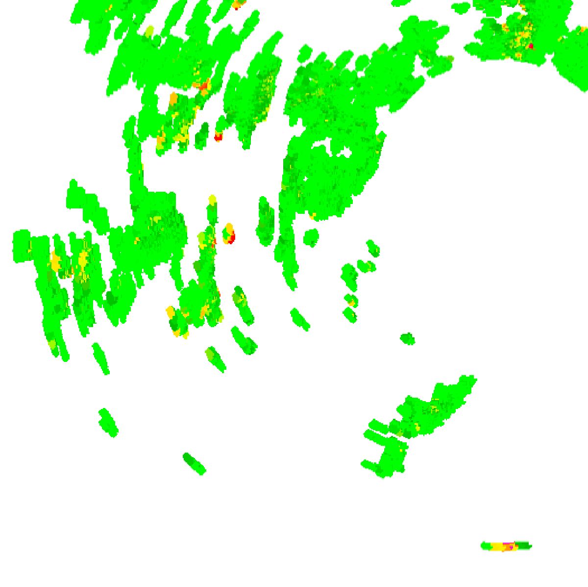
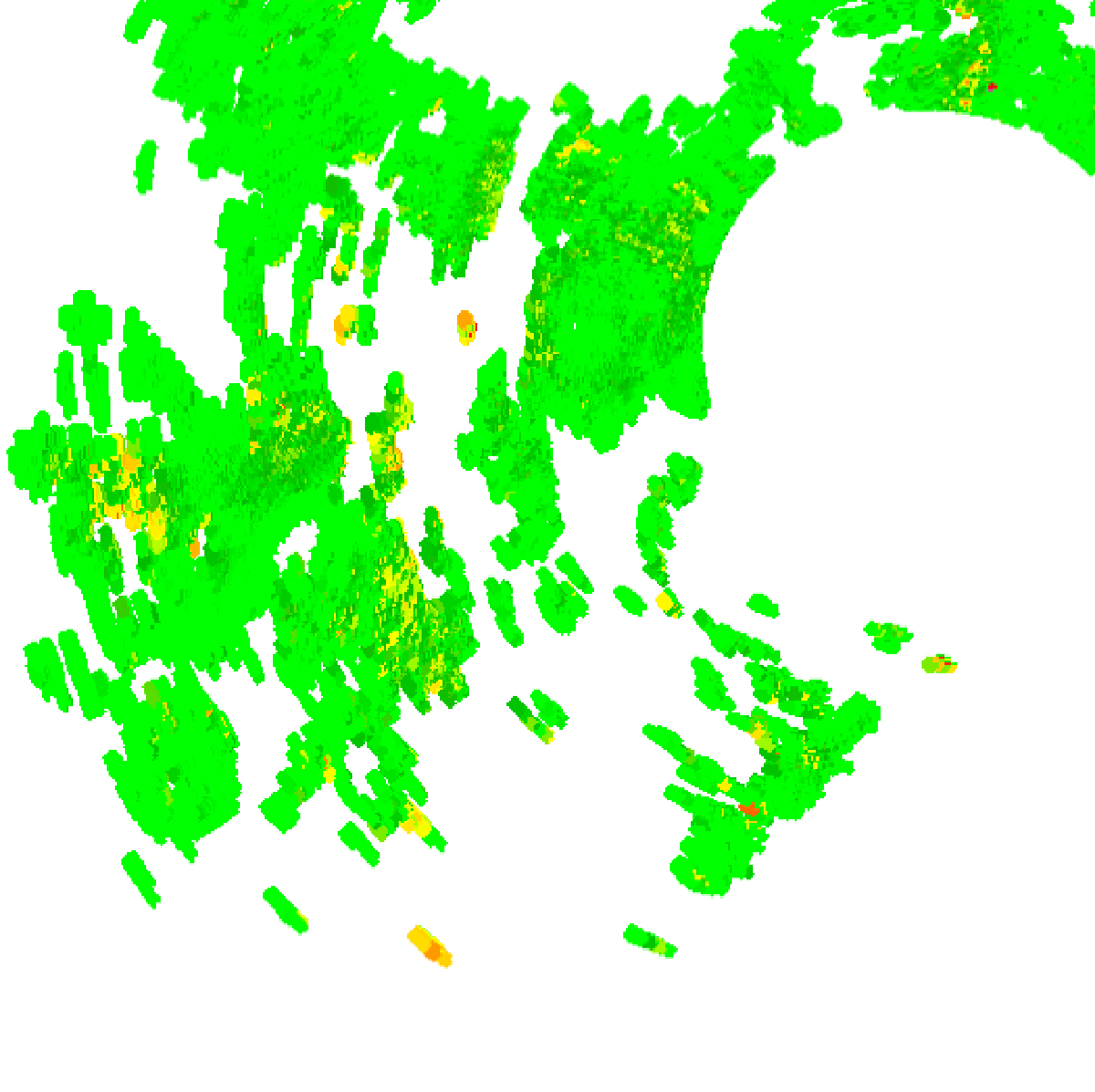
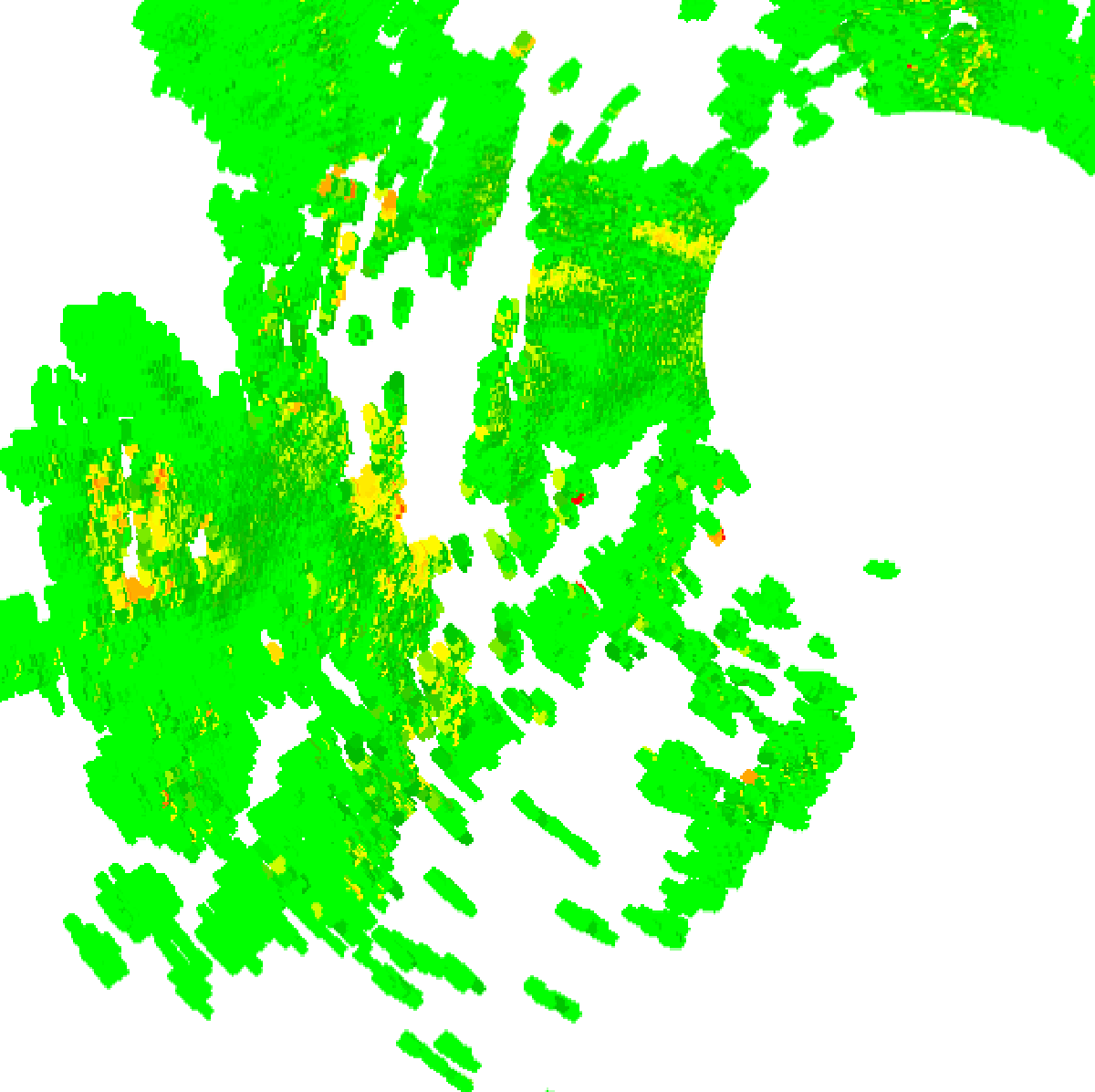
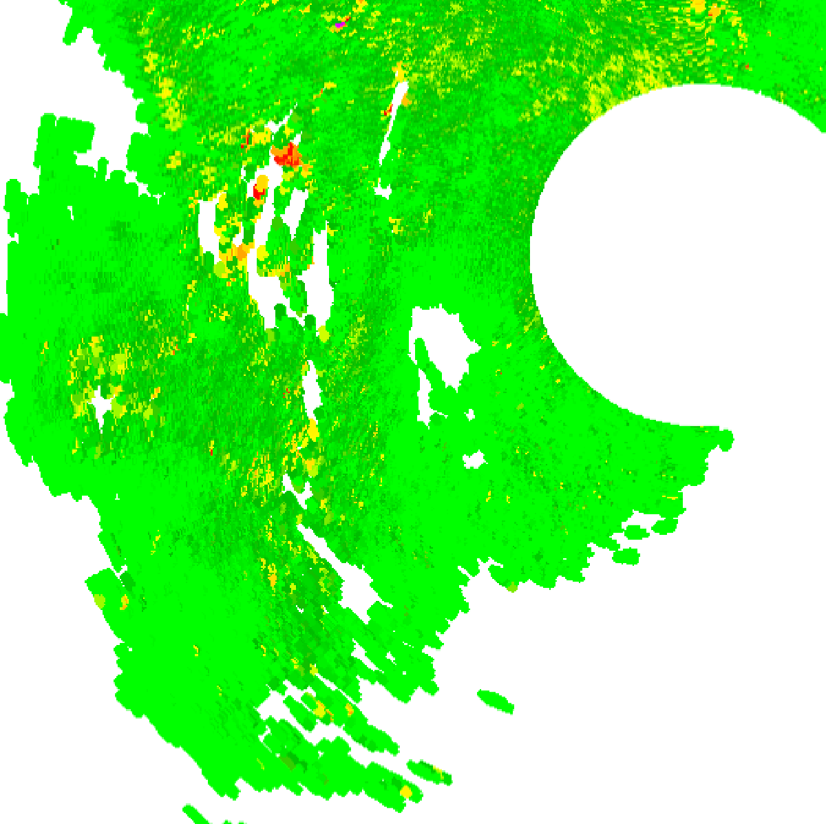
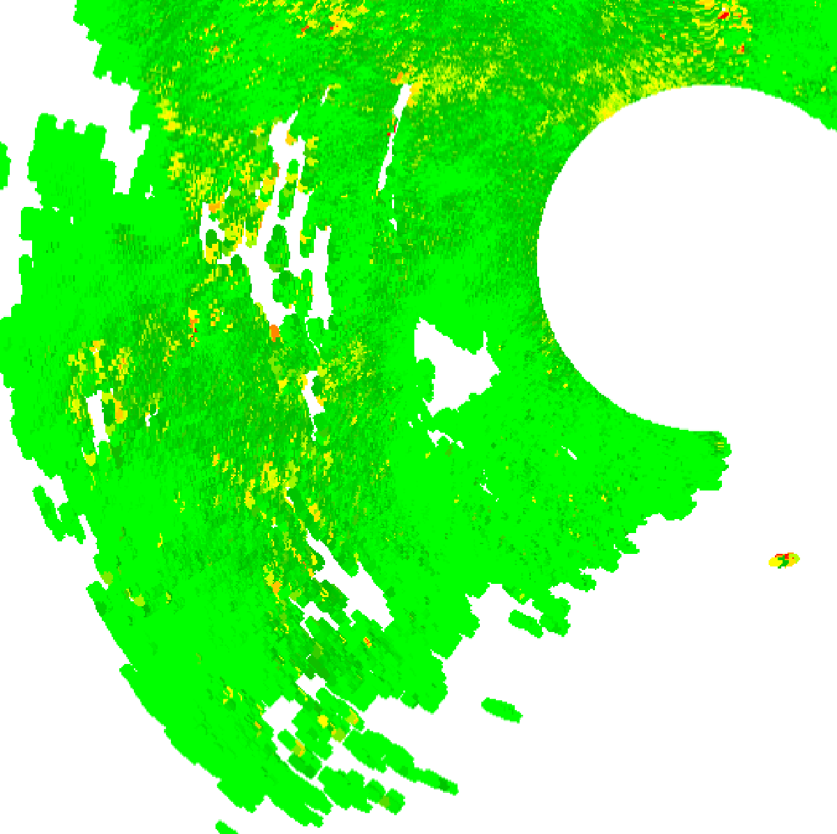
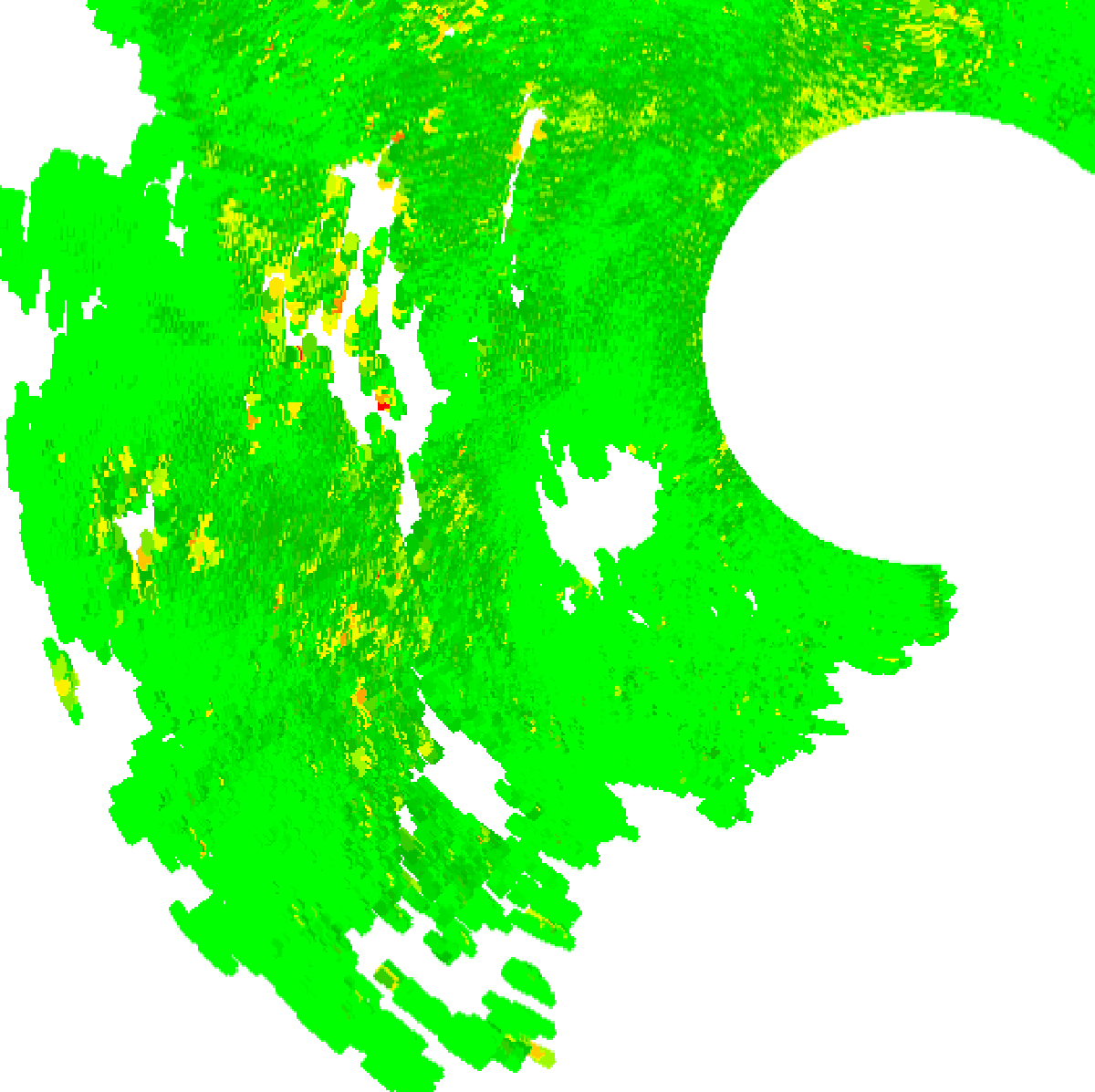
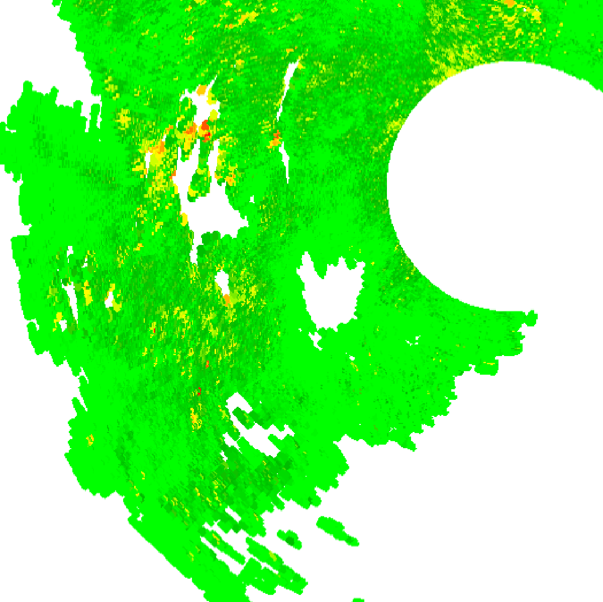
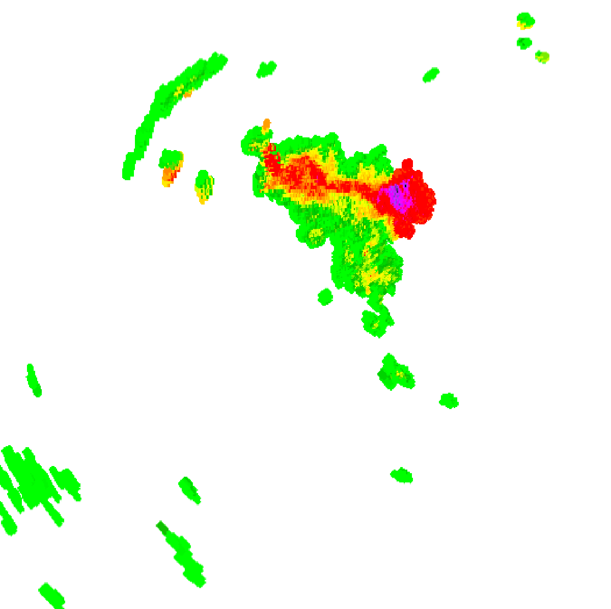
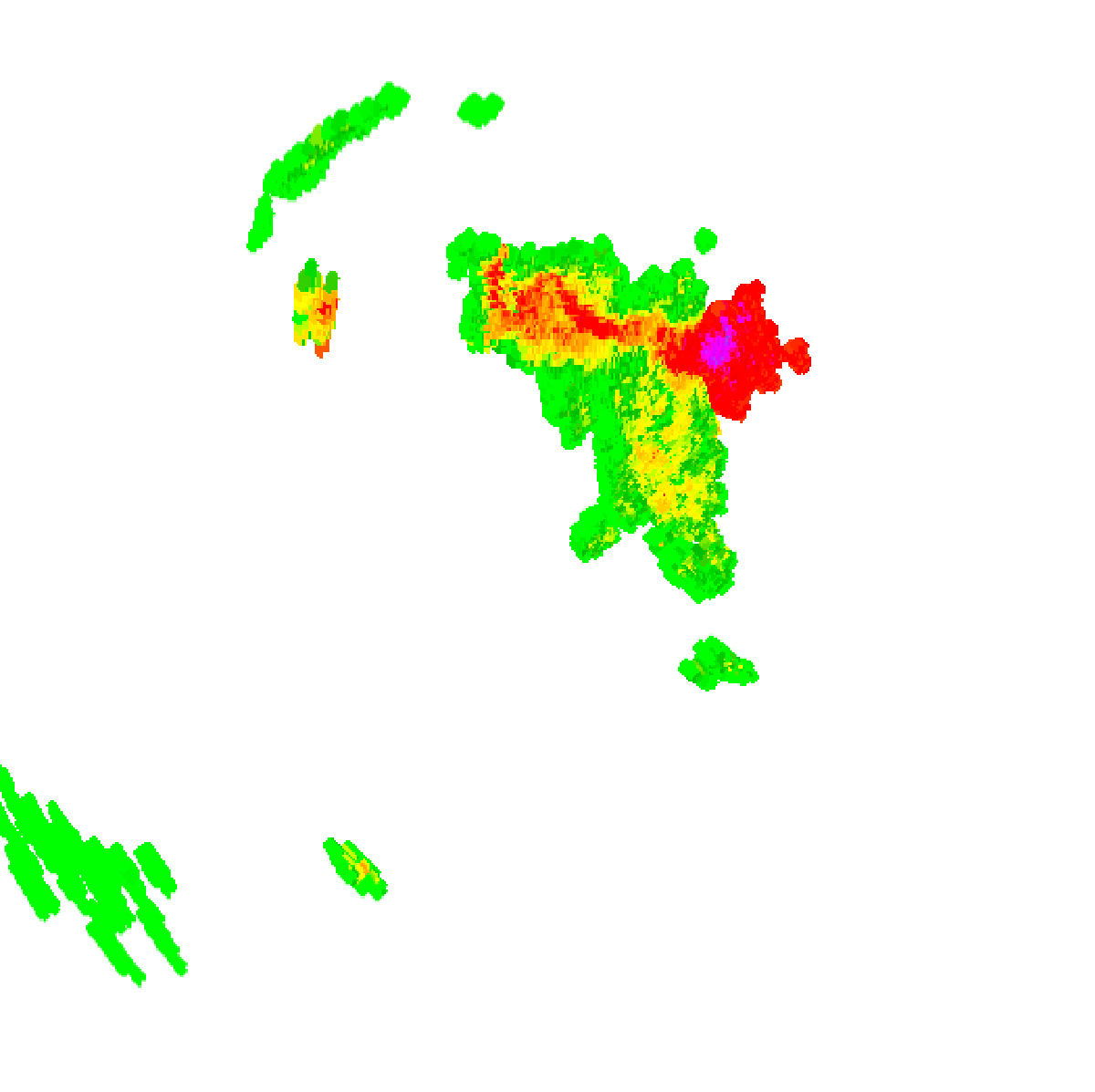
1:00pm AEST1:05pm AEST1:10pm AEST1:15pm AEST1:20pm AEST1:25pm AEST1:30pm AEST1:35pm AEST1:40pm AEST1:45pm AEST1:50pm AEST1:55pm AEST2:00pm AEST2:05pm AEST2:10pm AEST2:15pm AEST2:20pm AEST2:25pm AEST2:30pm AEST2:35pm AEST2:40pm AEST2:45pm AEST2:50pm AEST2:55pm AEST3:00pm AEST3:05pm AEST3:10pm AEST3:15pm AEST3:20pm AEST3:25pm AEST3:30pm AEST3:35pm AEST3:40pm AEST3:45pm AEST3:50pm AEST3:55pm AEST4:00pm AEST4:05pm AEST4:10pm AEST4:15pm AEST4:20pm AEST4:25pm AEST4:30pm AEST4:35pm AEST4:40pm AEST4:45pm AEST4:50pm AEST4:55pm AEST5:00pm AEST5:05pm AEST5:10pm AEST5:15pm AEST5:20pm AEST5:25pm AEST5:30pm AEST5:35pm AEST5:40pm AEST5:45pm AEST5:50pm AEST5:55pm AEST6:00pm AEST6:05pm AEST6:10pm AEST6:15pm AEST6:20pm AEST6:25pm AEST6:30pm AEST6:35pm AEST6:40pm AEST6:45pm AEST6:50pm AEST6:55pm AEST7:00pm AEST7:05pm AEST7:10pm AEST7:15pm AEST7:20pm AEST7:25pm AEST7:30pm AEST7:35pm AEST7:40pm AEST7:45pm AEST7:50pm AEST7:55pm AEST8:00pm AEST

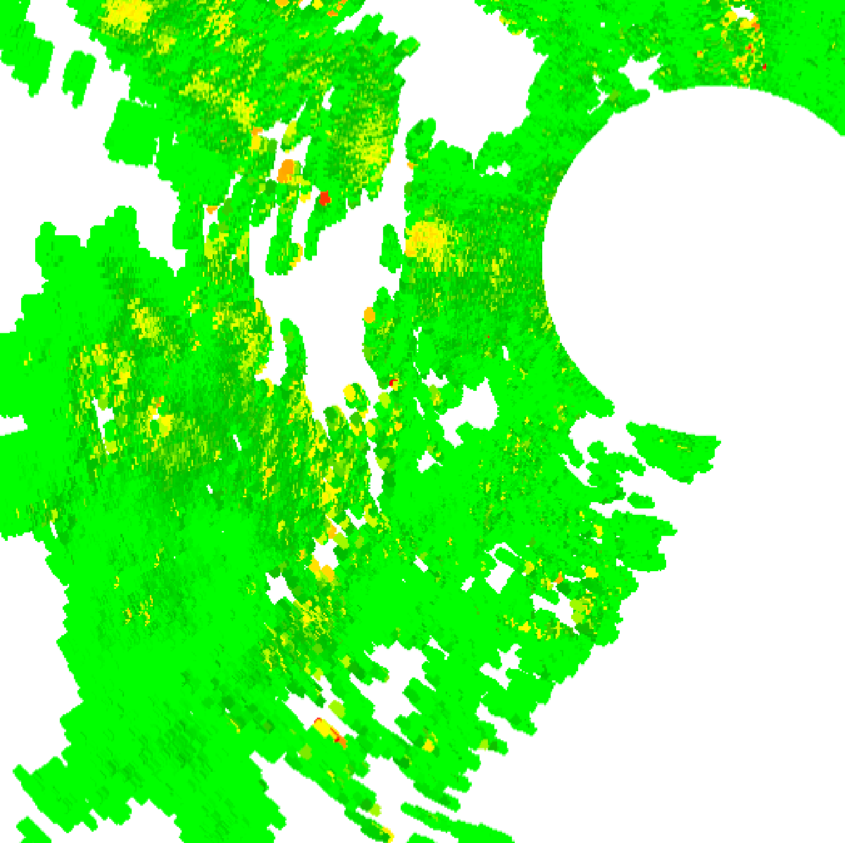
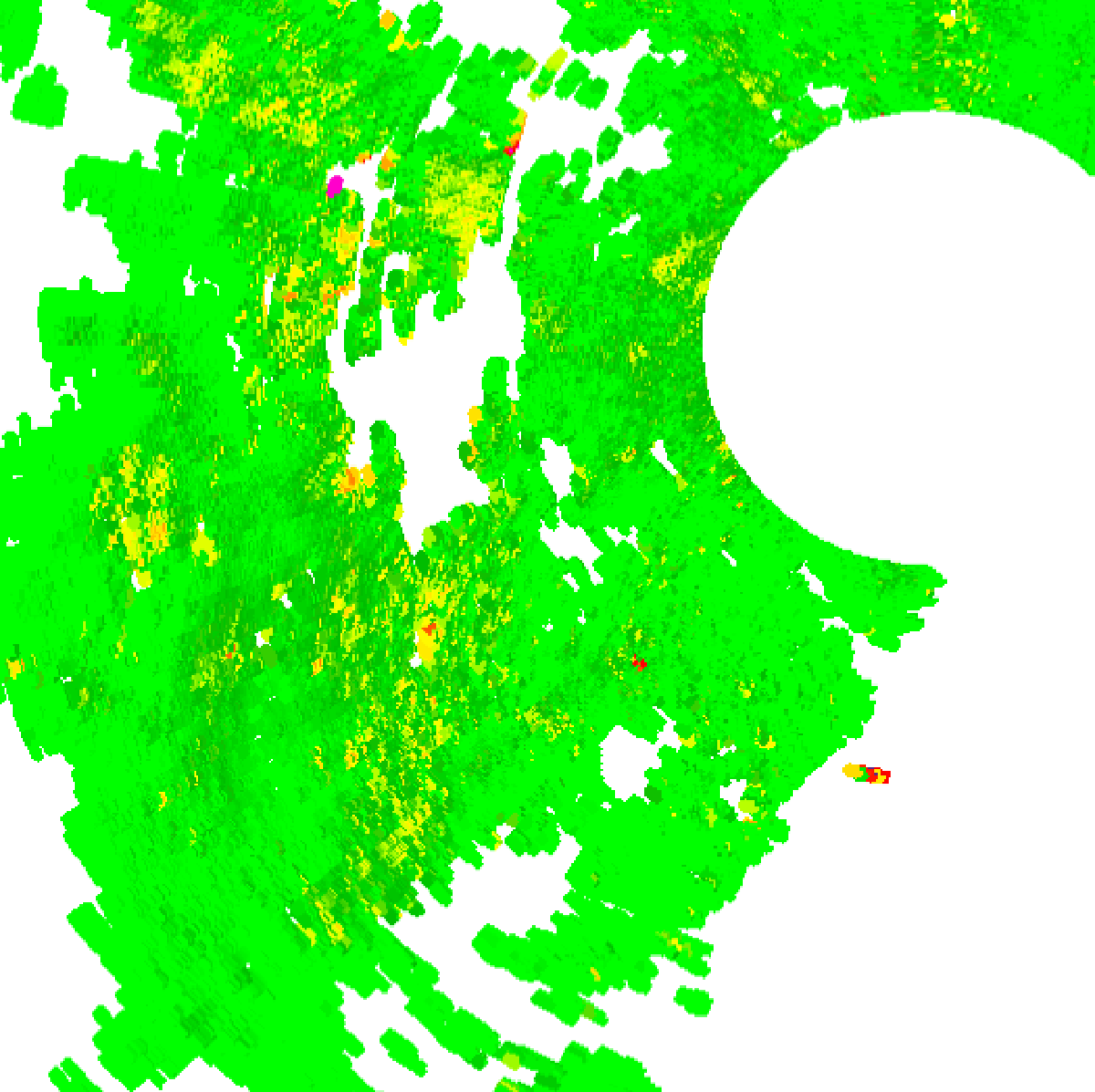
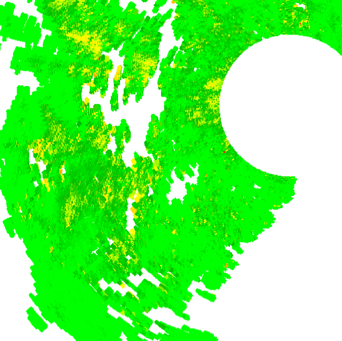
Bureau radar loop, Sydney (Terrey Hills), close-up of Penrith and the Blue Mountains · 1:00pm AEST – 8:00pm AEST · Radar data: Bureau of Meteorology, © Commonwealth of Australia, CC BY 4.0

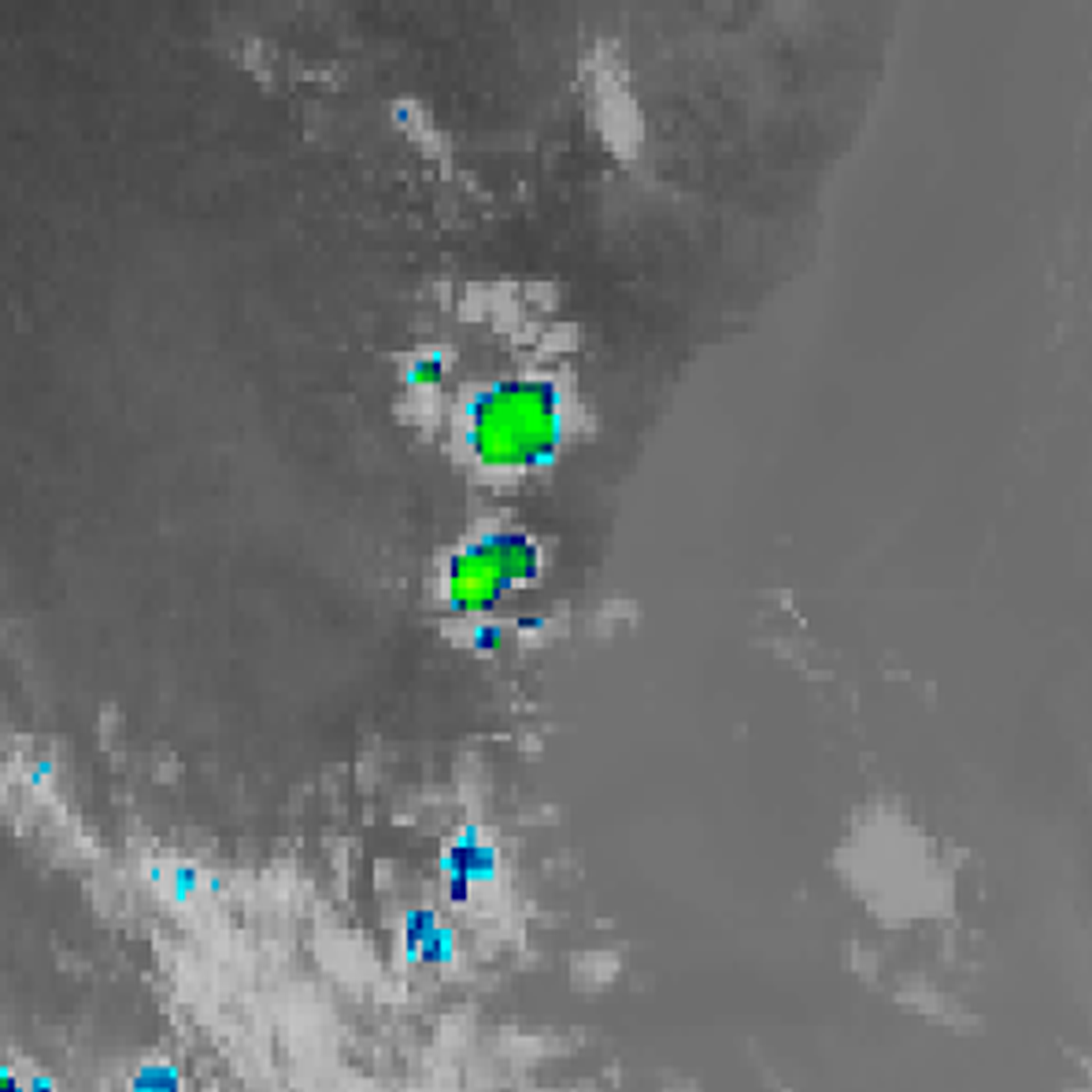
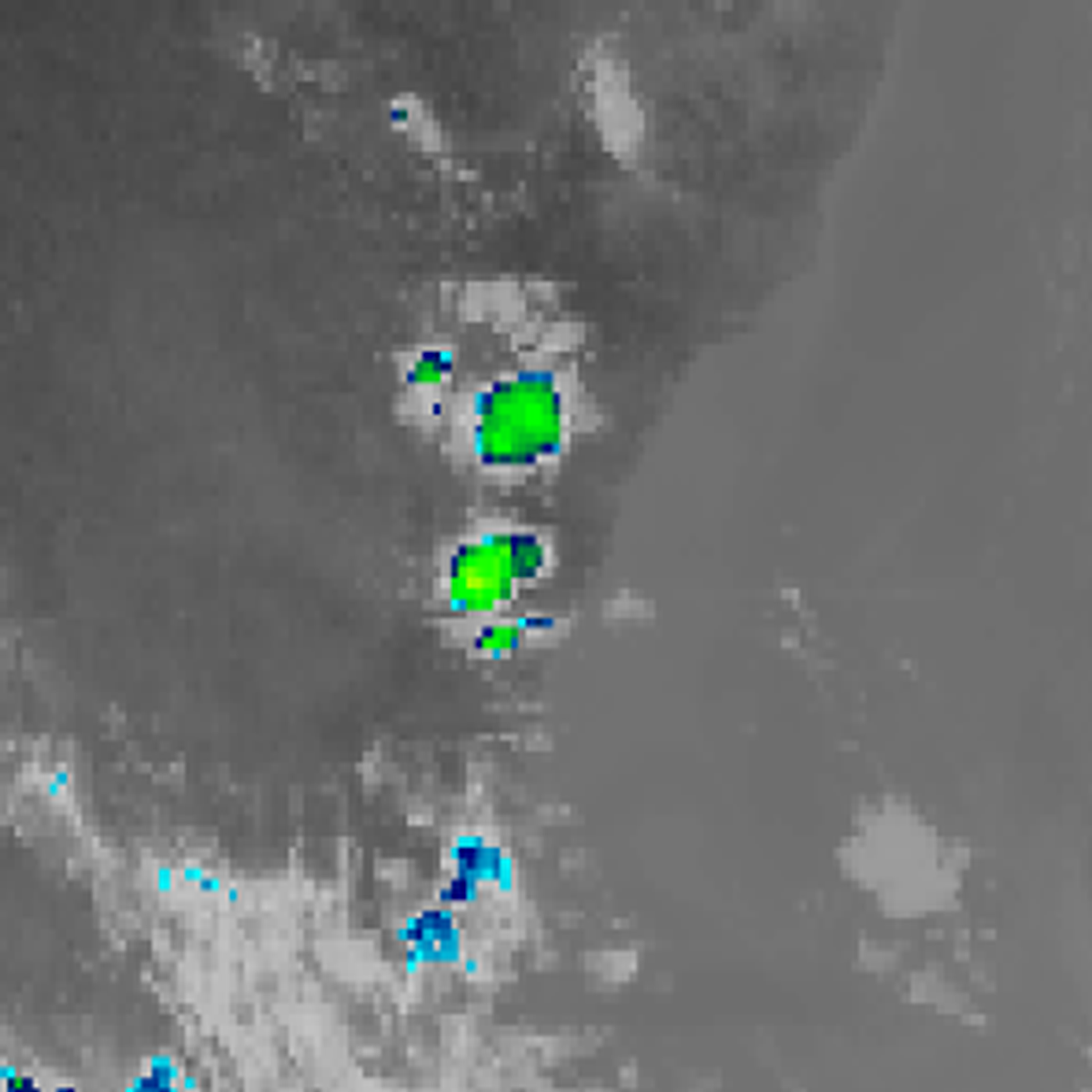
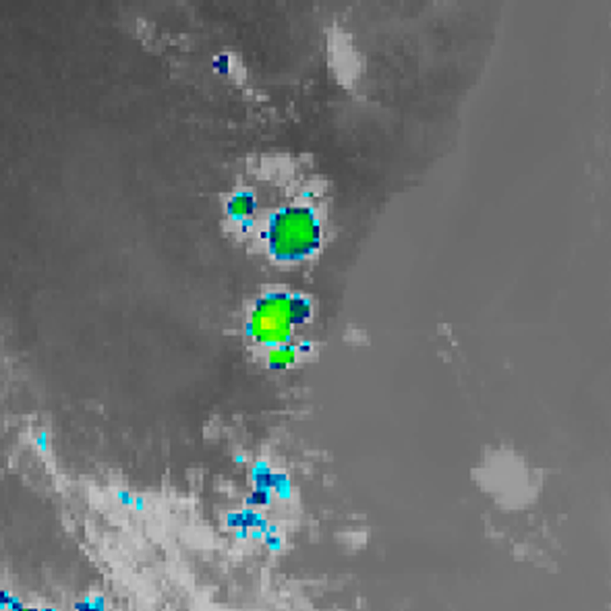
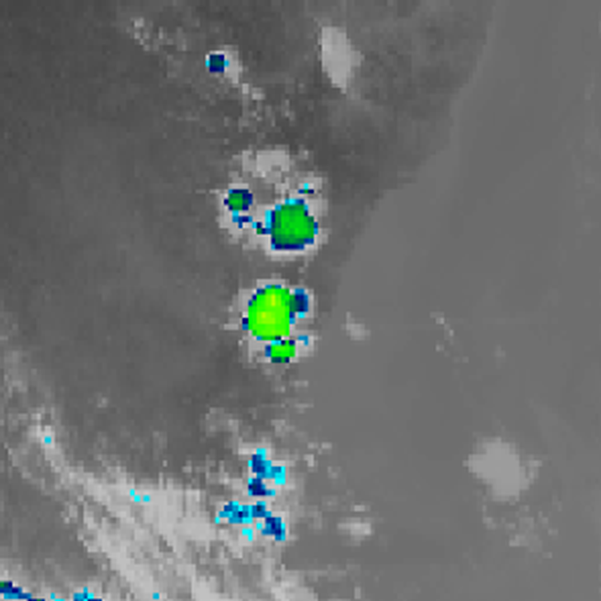
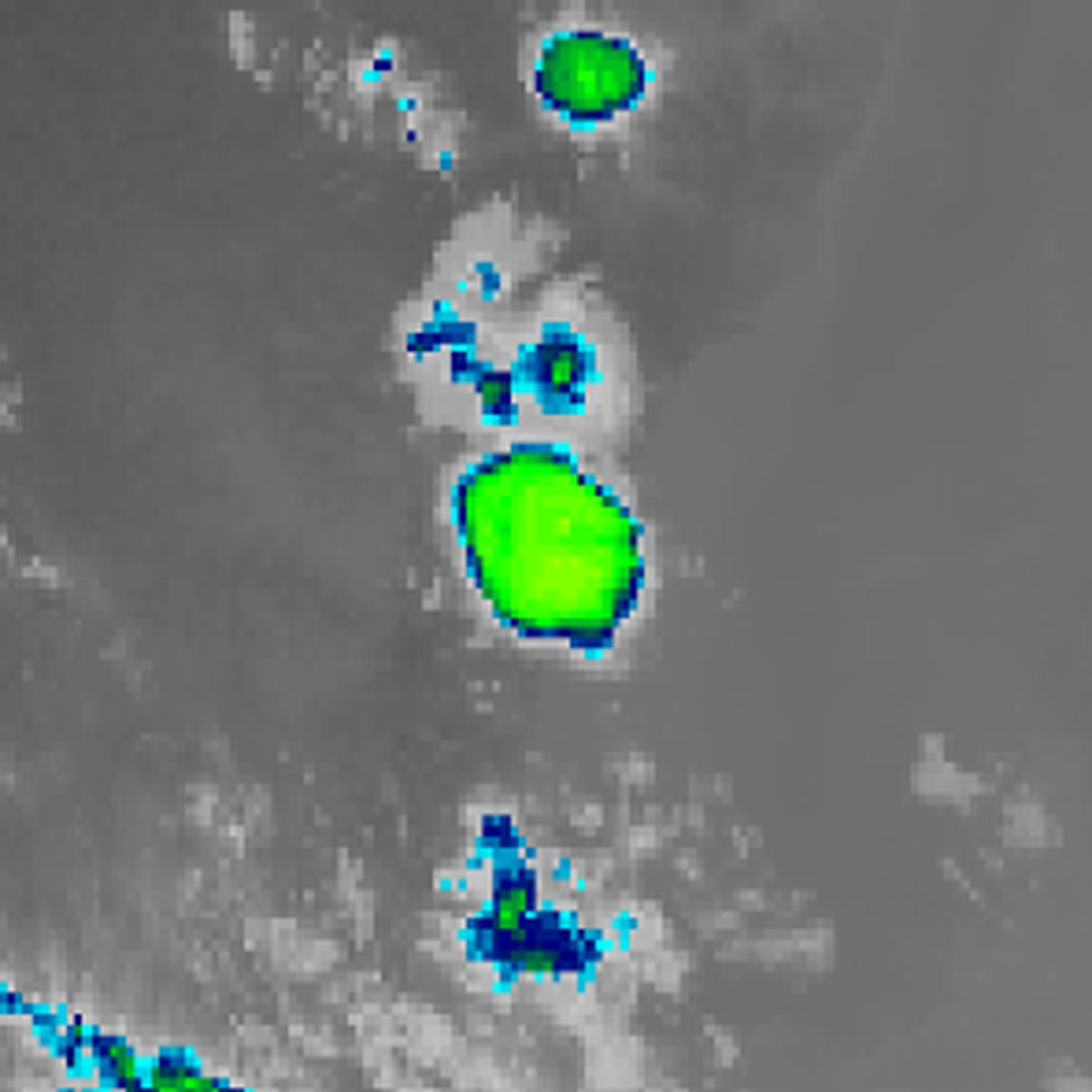
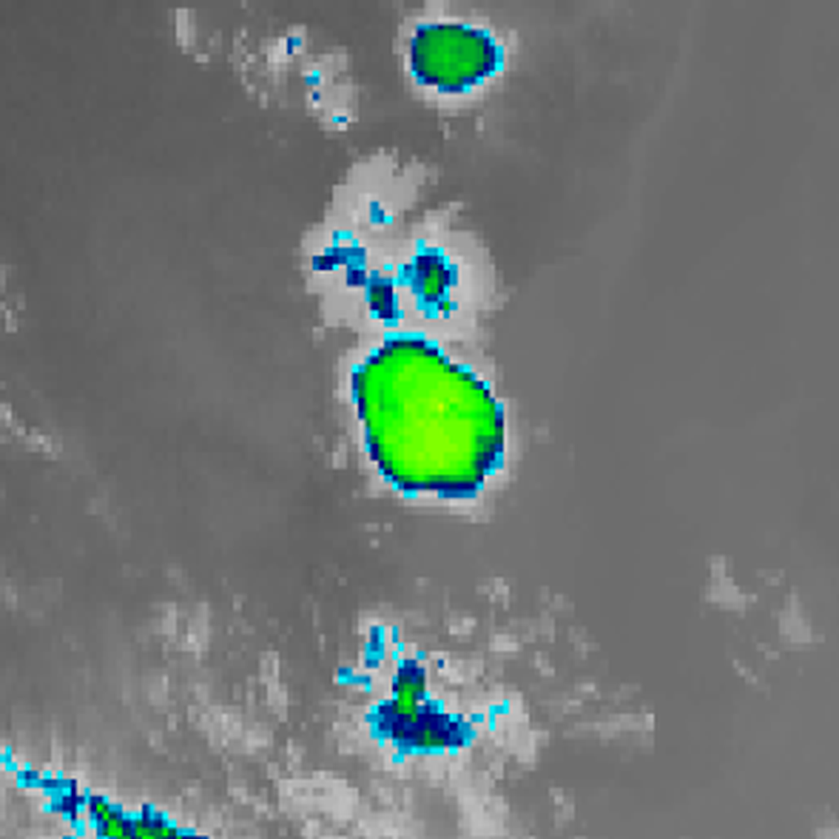
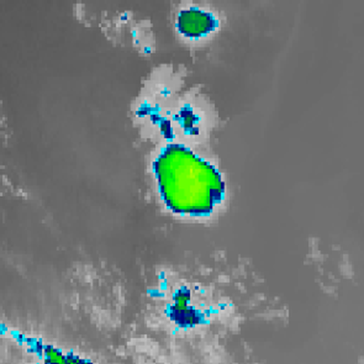
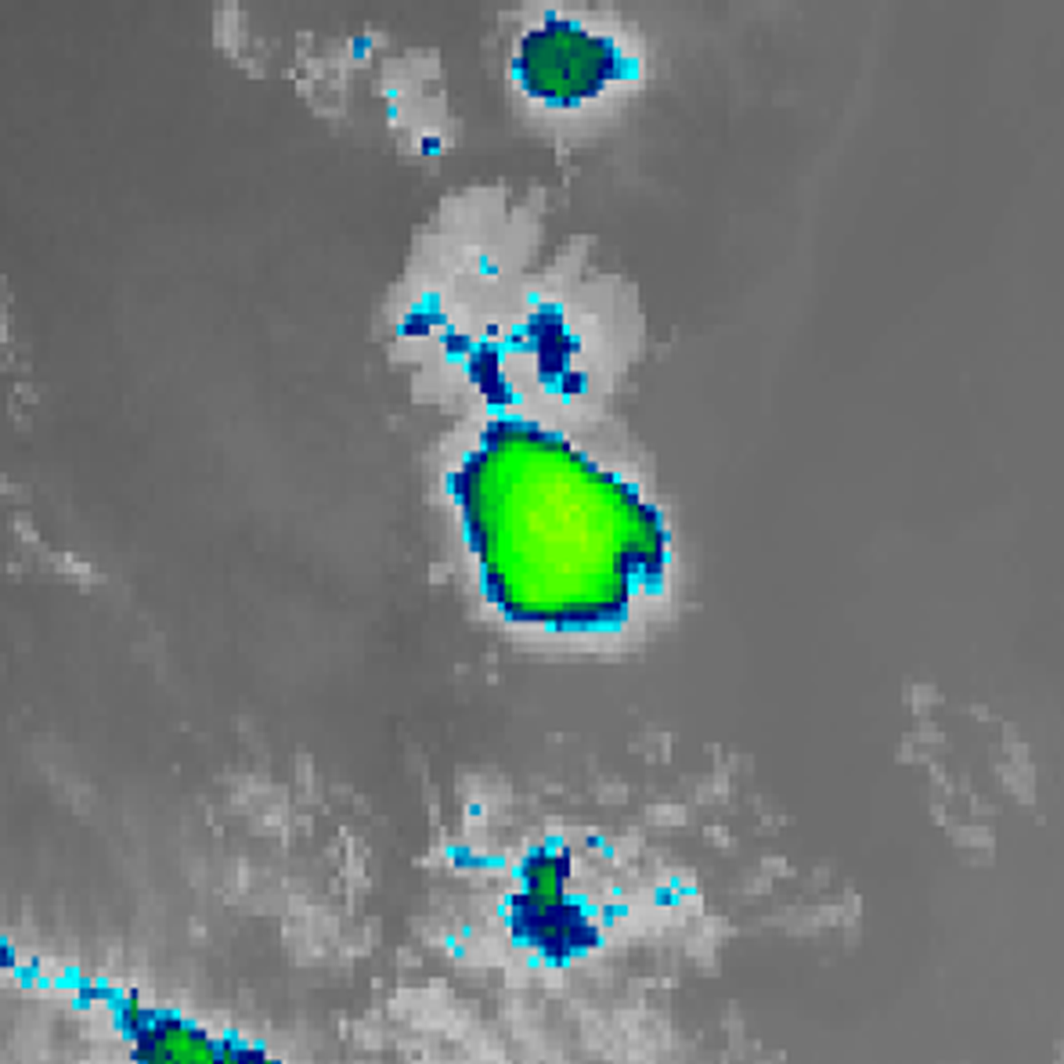
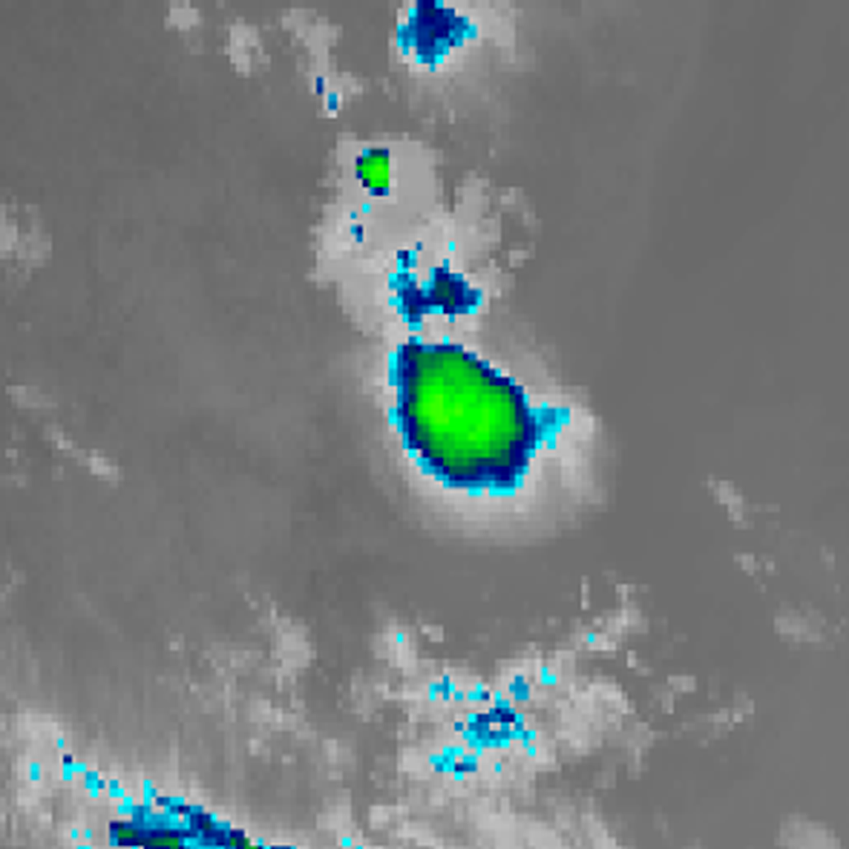
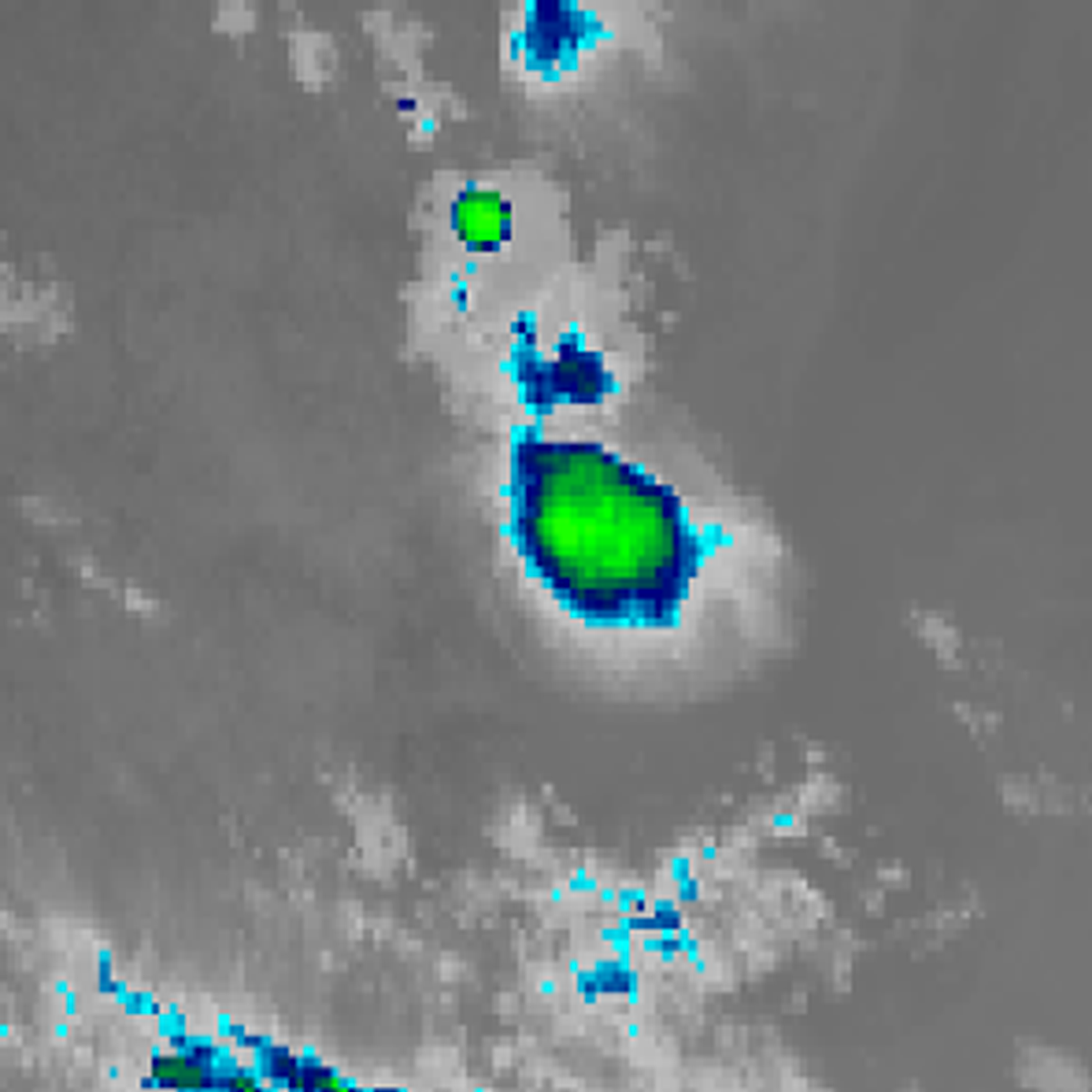
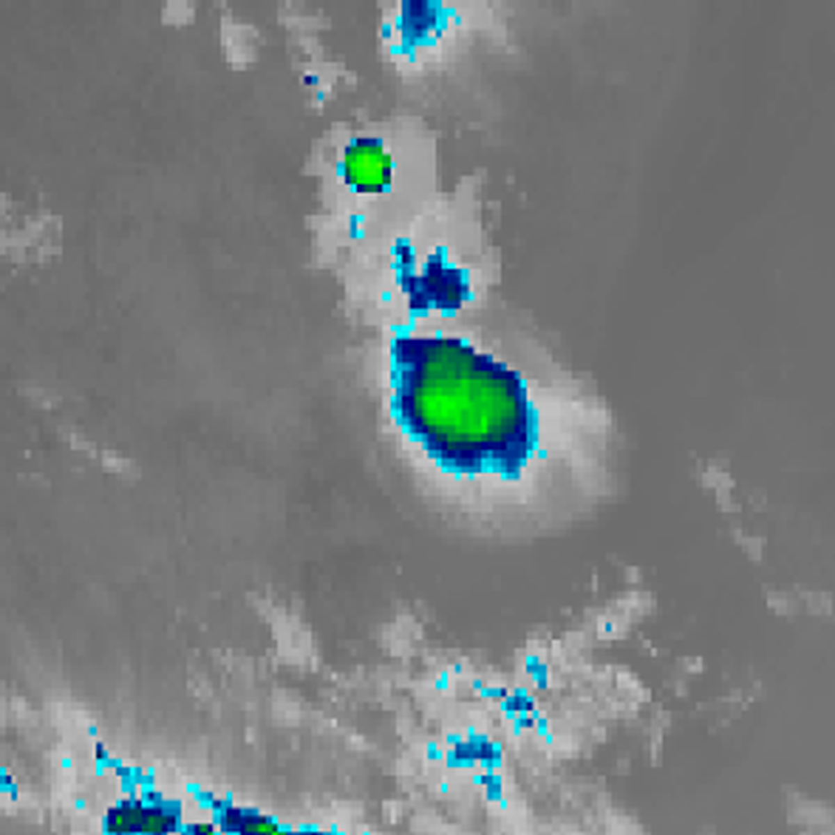
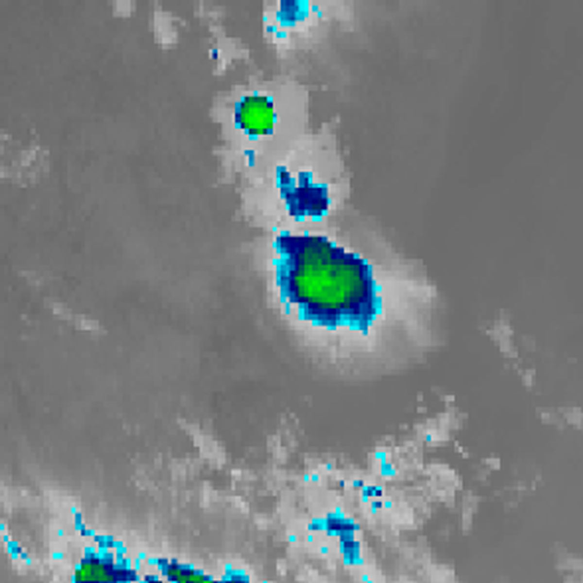
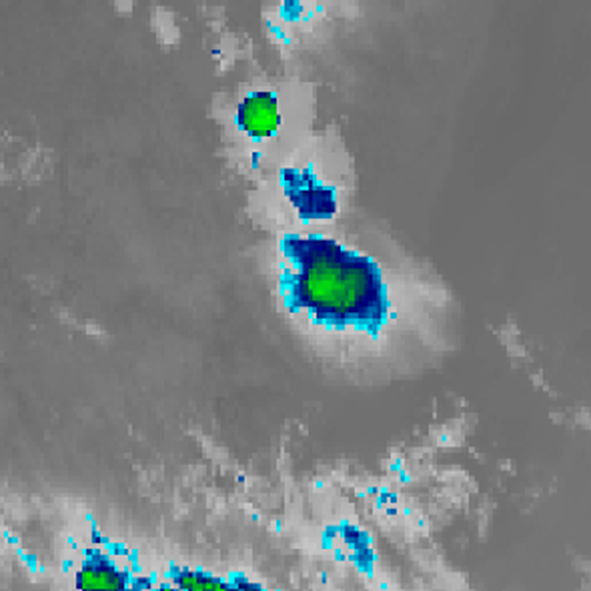
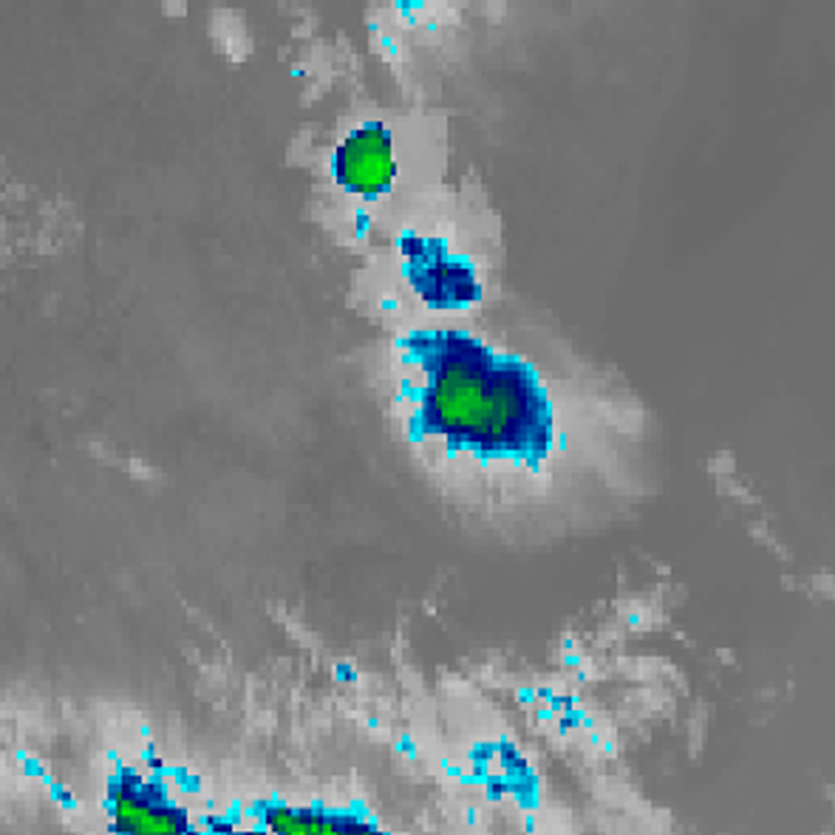
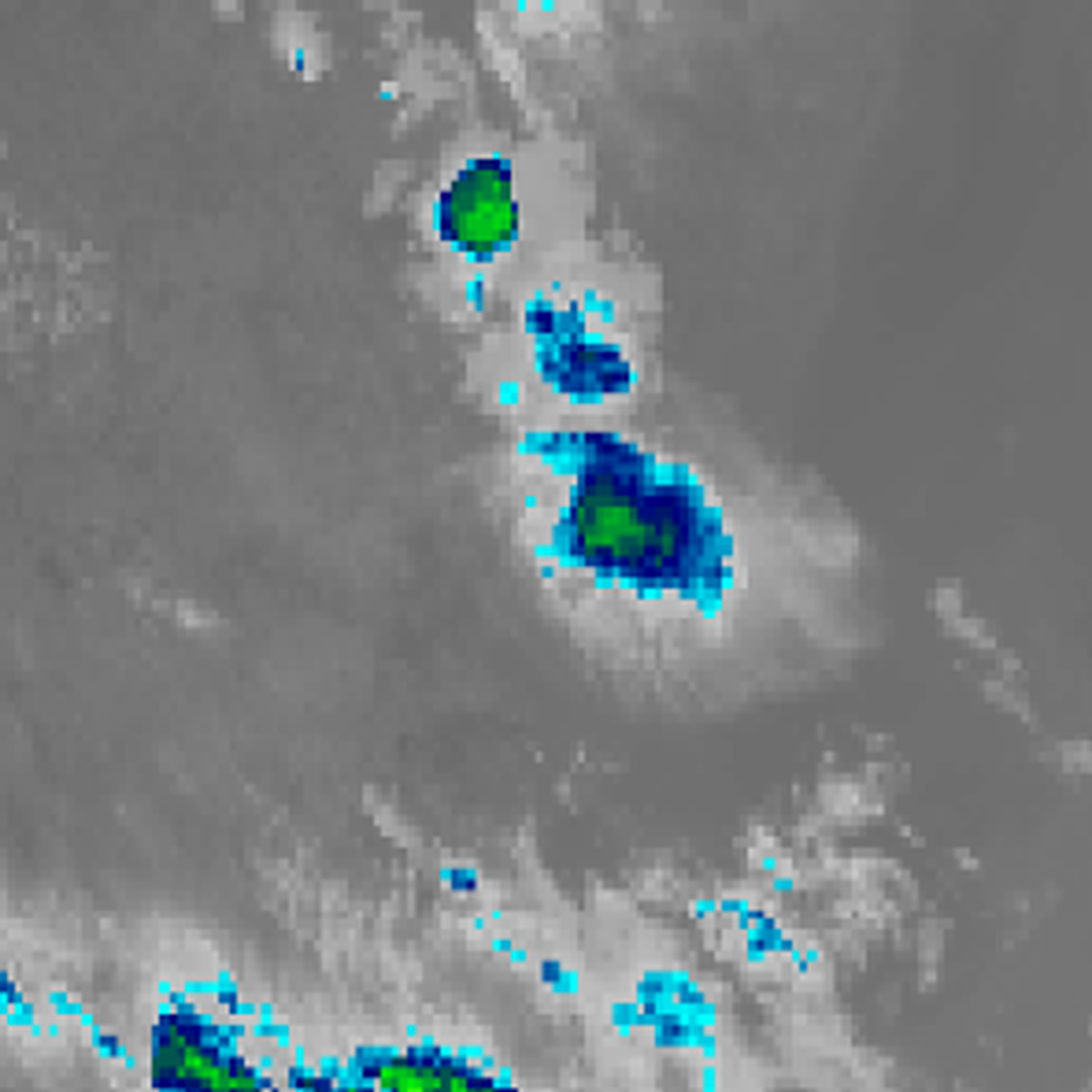
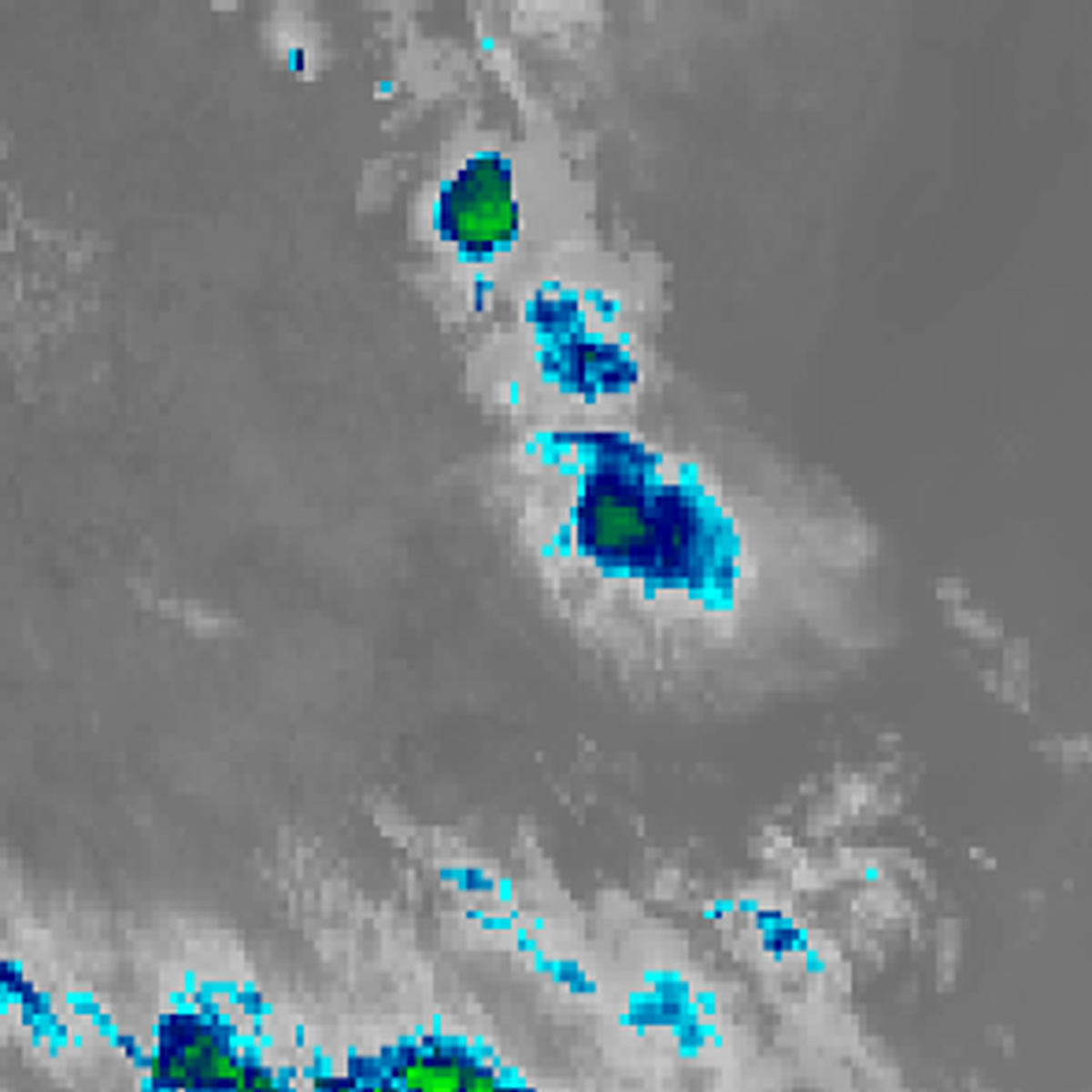
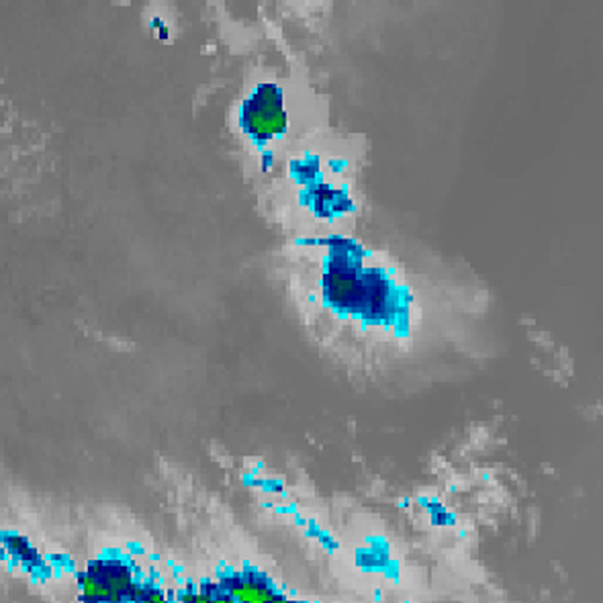
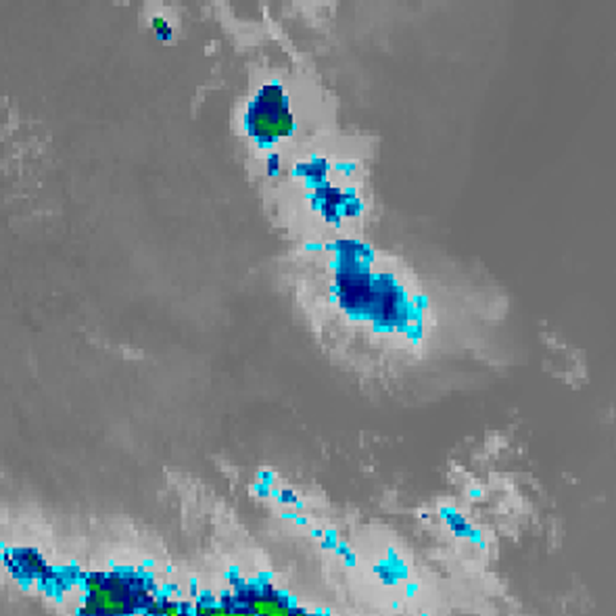
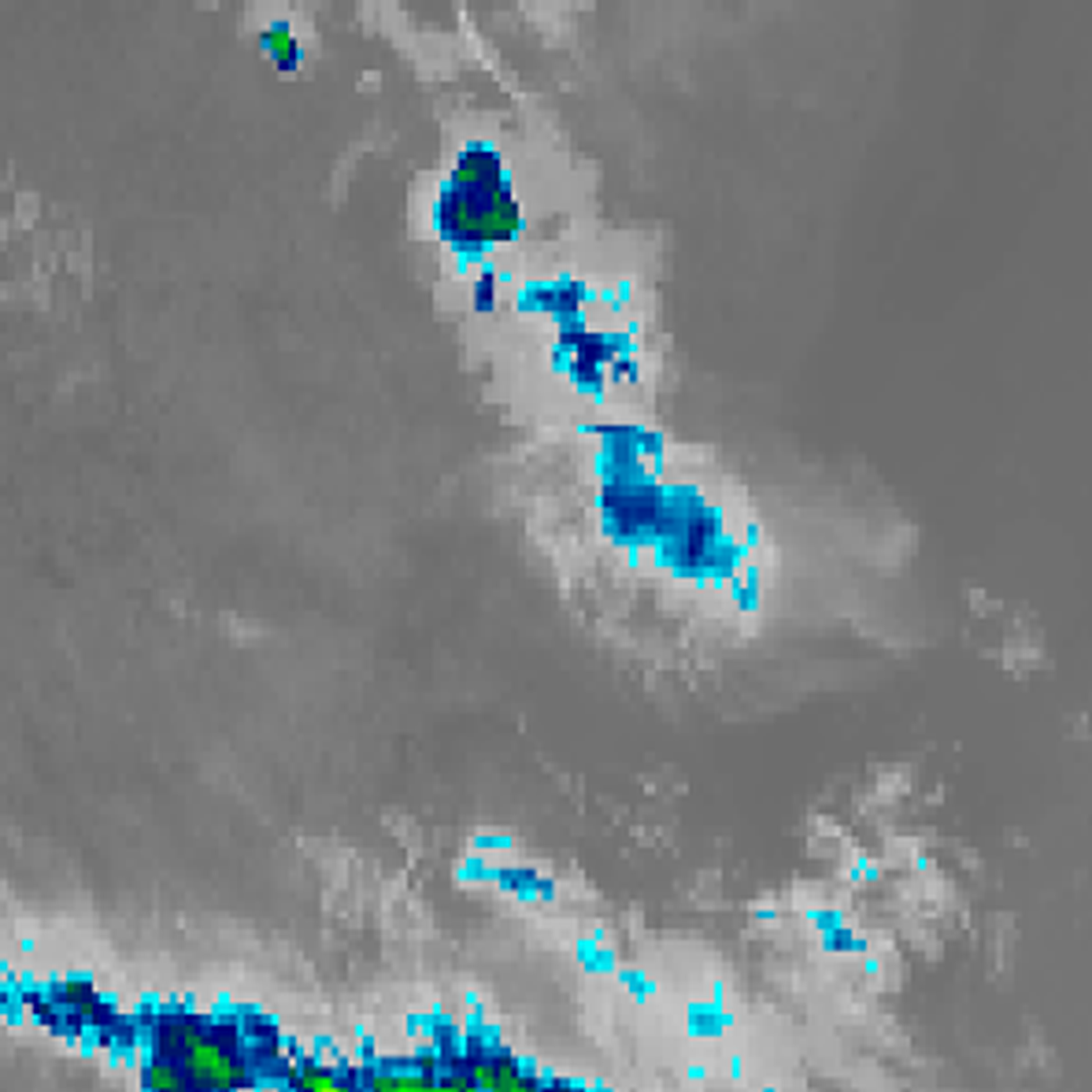
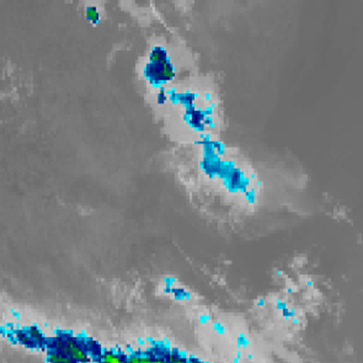
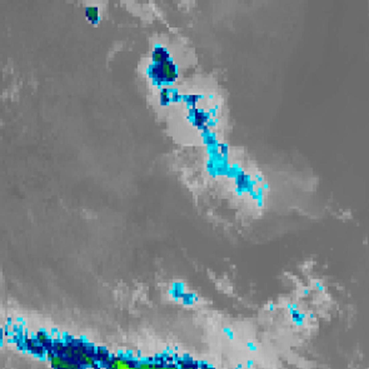
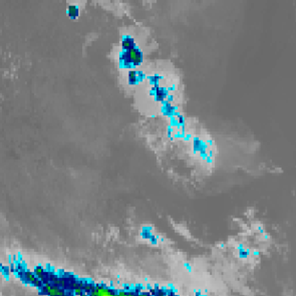
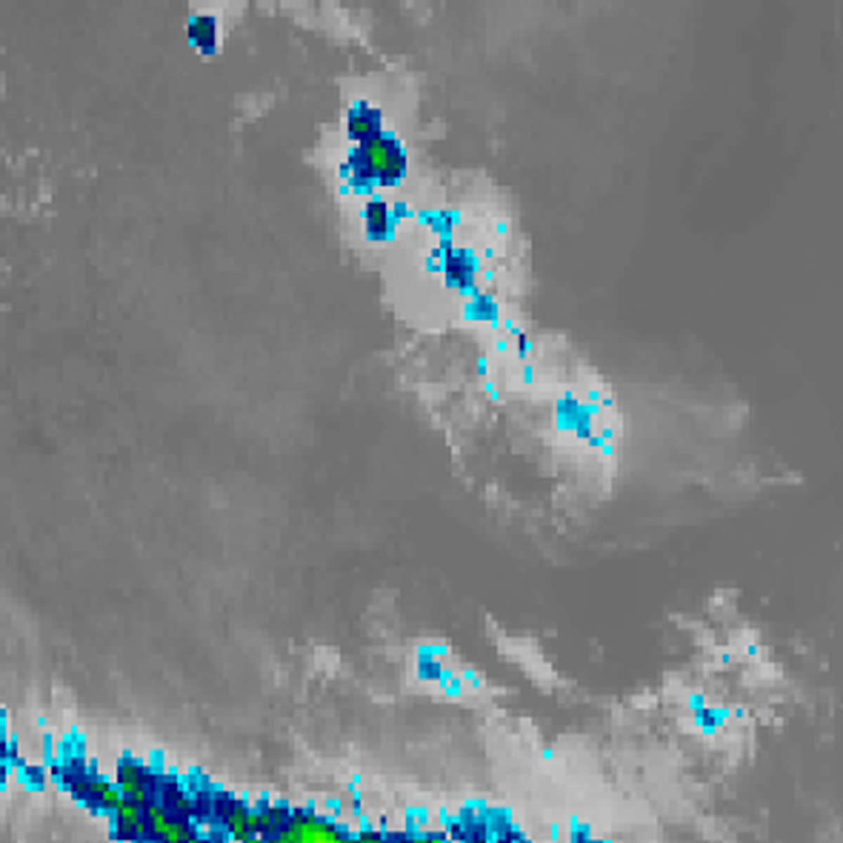
1:00pm AEST1:10pm AEST1:20pm AEST1:30pm AEST1:40pm AEST1:50pm AEST2:00pm AEST2:10pm AEST2:20pm AEST2:30pm AEST2:40pm AEST2:50pm AEST3:00pm AEST3:10pm AEST3:20pm AEST3:30pm AEST3:40pm AEST3:50pm AEST4:00pm AEST4:10pm AEST4:20pm AEST4:30pm AEST4:40pm AEST4:50pm AEST5:00pm AEST5:10pm AEST5:20pm AEST5:30pm AEST5:40pm AEST5:50pm AEST6:00pm AEST6:10pm AEST6:20pm AEST6:30pm AEST6:40pm AEST6:50pm AEST7:00pm AEST7:10pm AEST7:20pm AEST7:30pm AEST7:40pm AEST7:50pm AEST8:00pm AEST

Himawari satellite loop (infrared), 10 minute steps over Sydney · 1:00pm AEST – 8:00pm AEST · Imagery: JMA Himawari via NASA GIBS

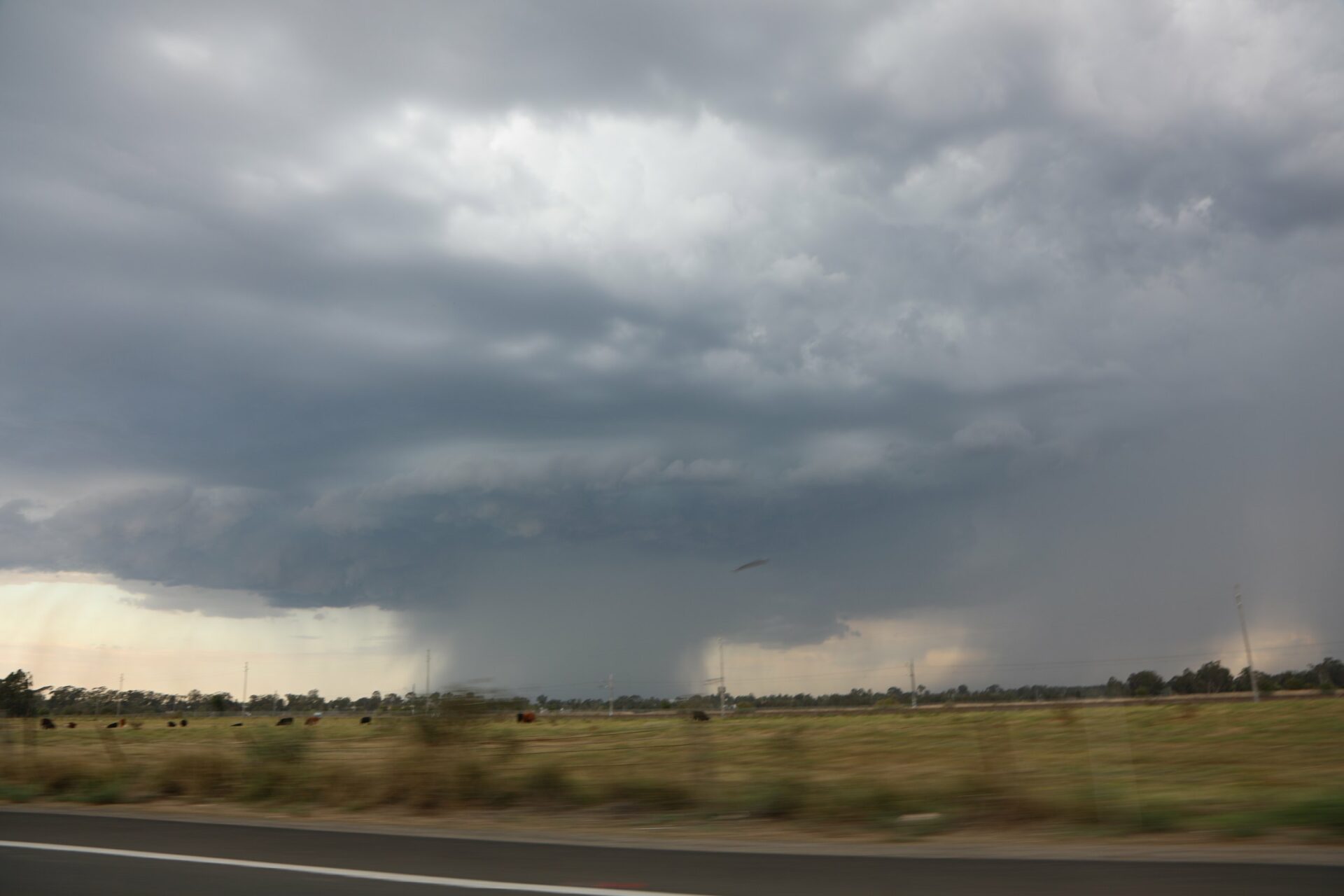
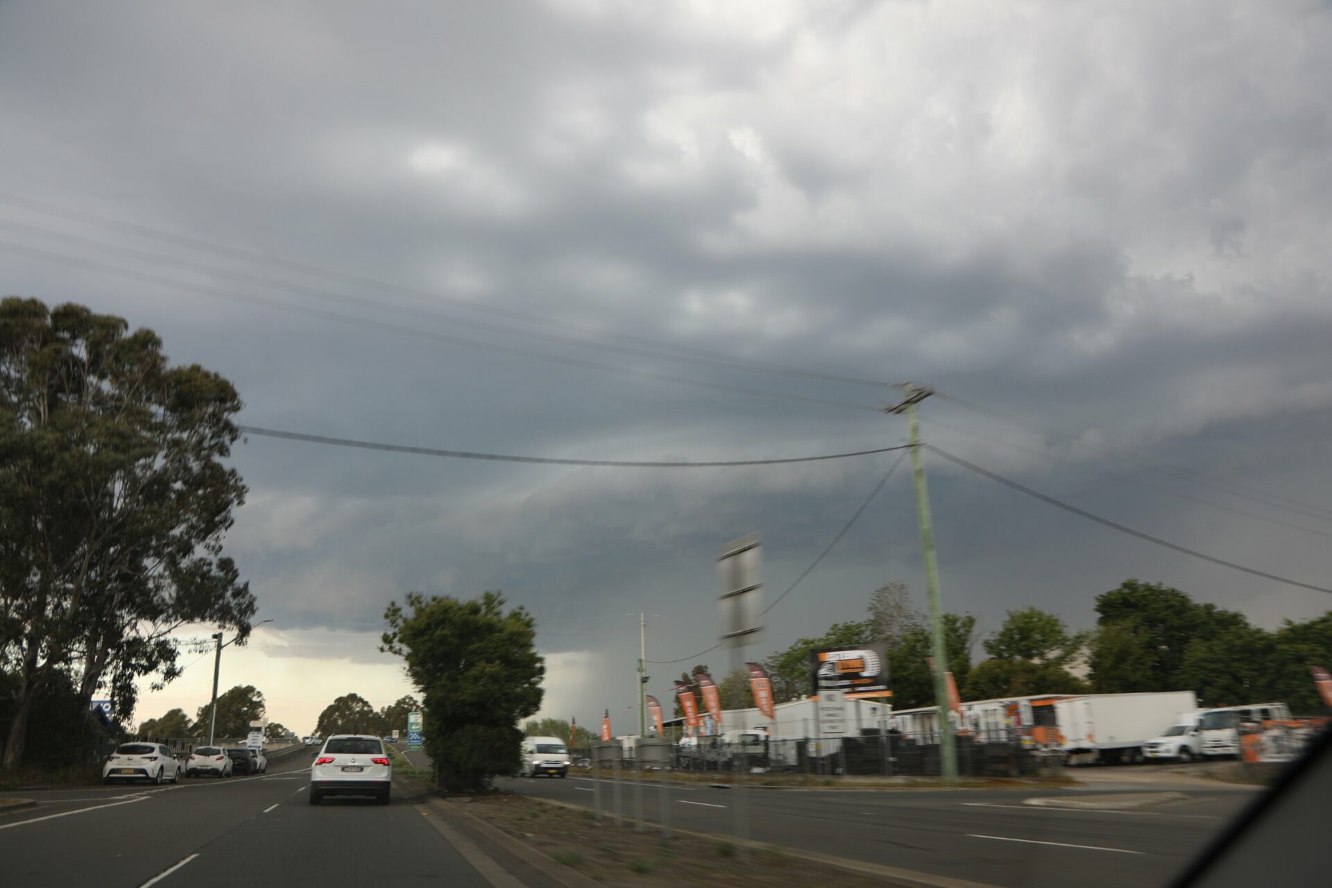
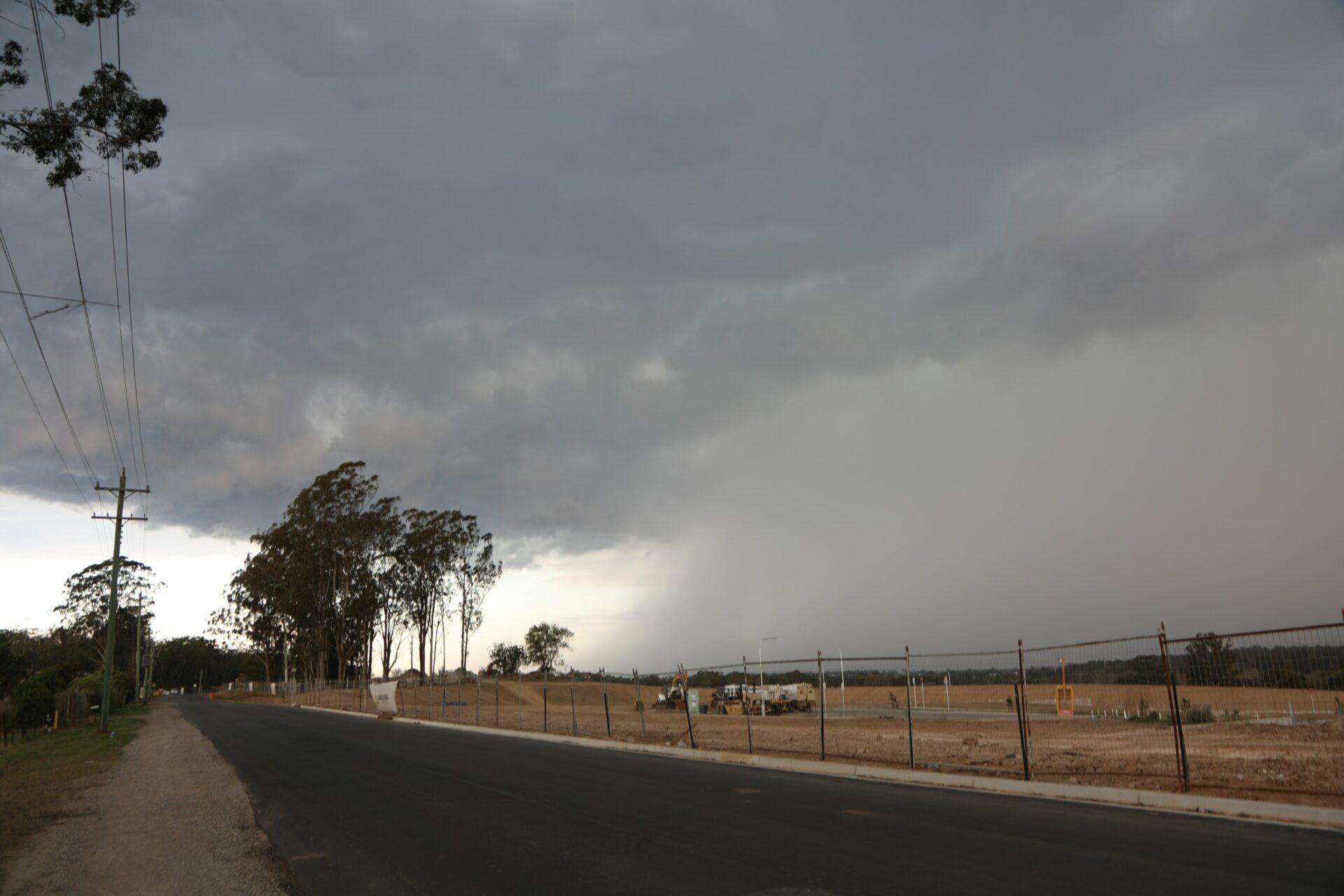
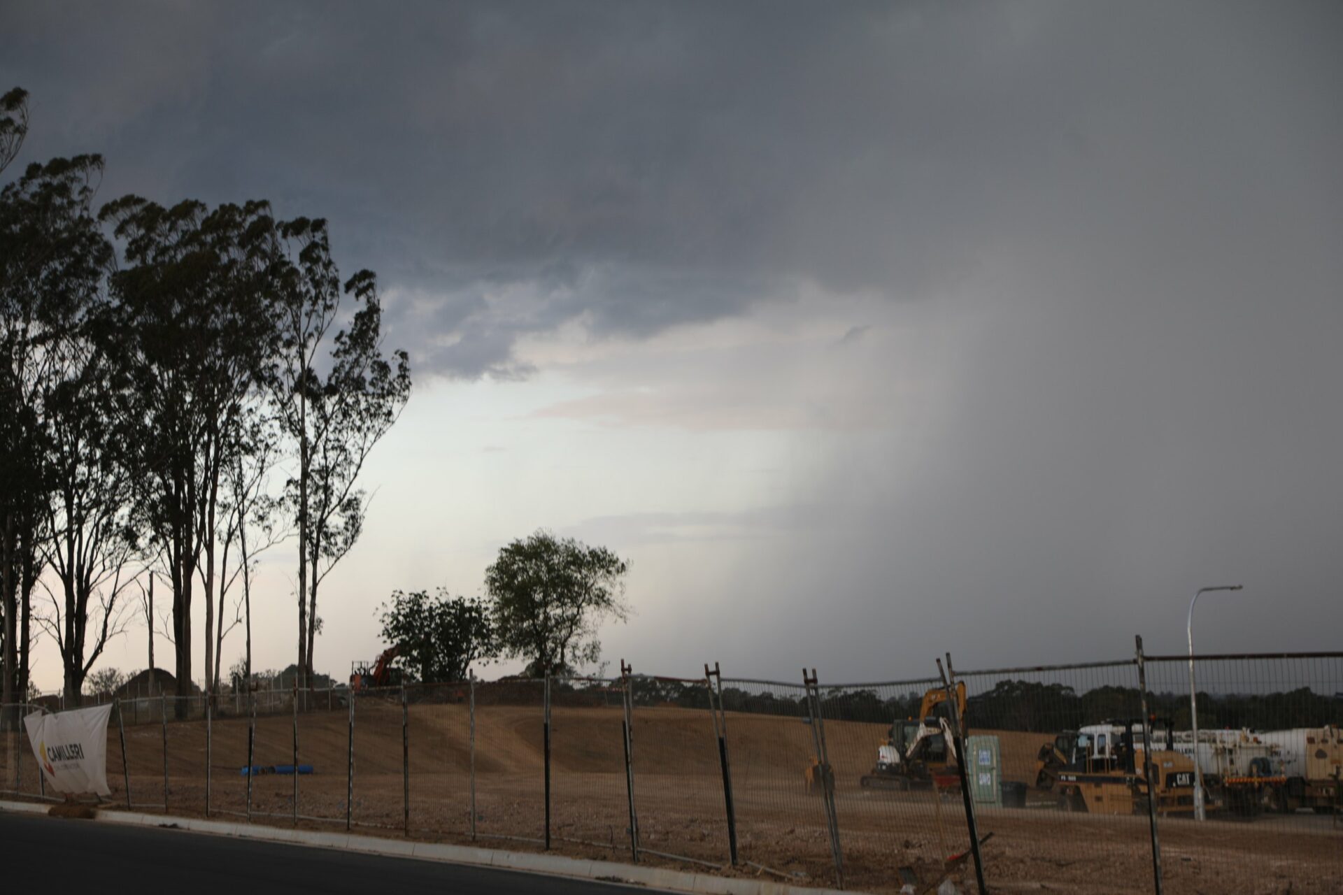
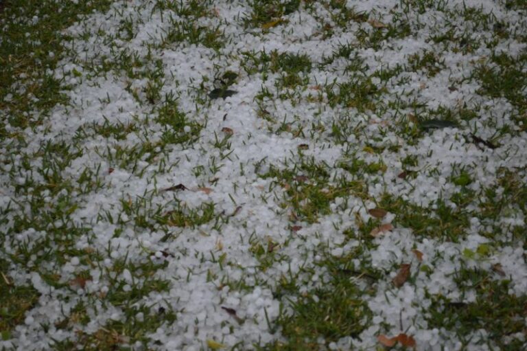
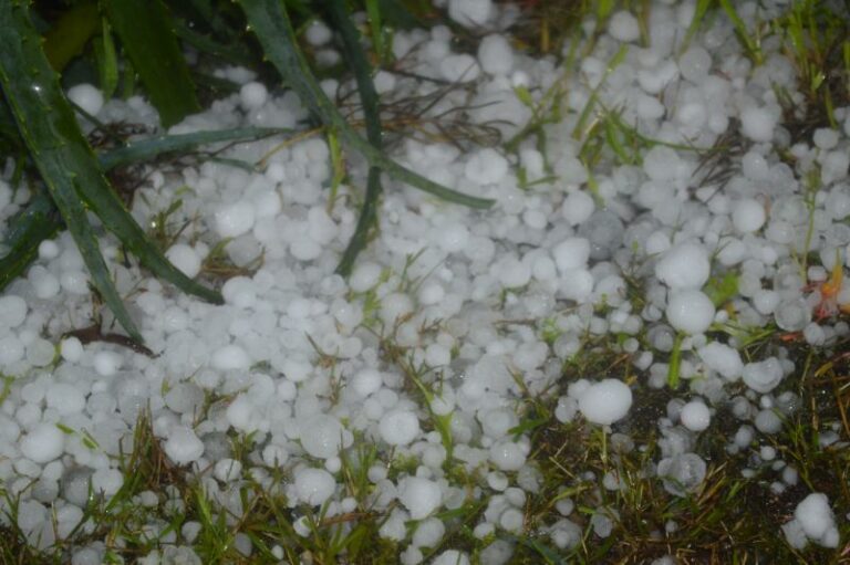
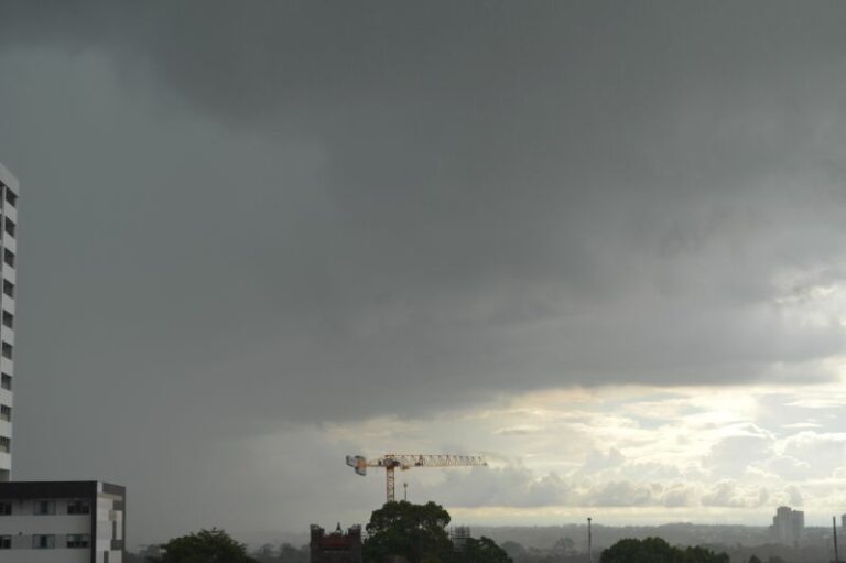
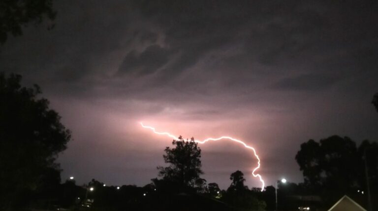
Heading via the Mulgoa Road and towards the Penrith Lakes allowed me to be in position for structure shots. I knew this was not to be long lasting and outflow was to consolidate development to the east. Once this began to outflow I made my way to Windsor and from here towards Oakville rather than the traffic in Quakers Hill and Doonside. This is where the main core occurred and dumped hail which Harley Pearman successfully intercepted. He report hail up to at least 1.5cm in diameter. Of course one feature of this storm was the copious amounts of lightning occurring in the core and also ahead of the storm.
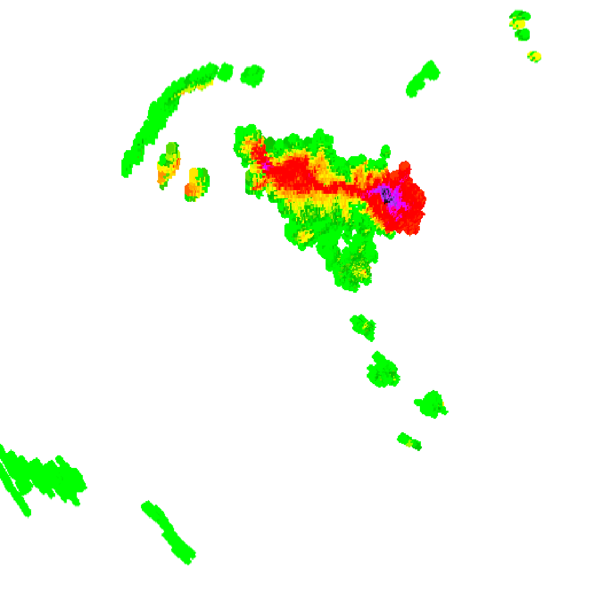
Awaiting the storm near Maralya the storm did buld the anticipated north boundary and lightning was produced but the storm was in a downward weakening phase and eventually weakened after that last pulse.
Open the storm map around Sydney, NSW

More storms near Sydney

All storm reports from Sydney, NSW →

Also on 26 September

After the storm Hail damage repair Hail dents removed from behind, factory paint kept. Hail Dent Repair. Chase with us Chase a storm for real Guided storm chasing tours in Australia and Tornado Alley. See Thunderbolt Tours.
Coming soon Radar and storm forecasting Live radar tools and severe storm forecasts from the Extreme Storms team.