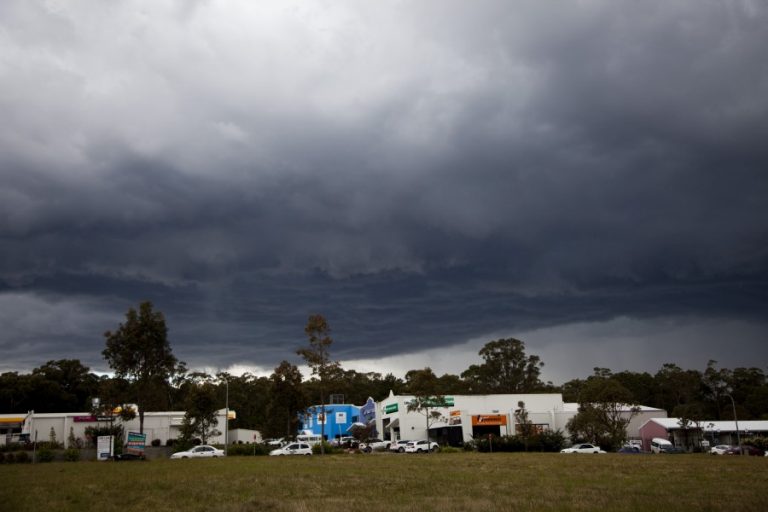
The first thunderstorm for season 2026/2027 occurred Friday afternoon 25 September 2026. This event broke a six (6) month storm drought that commenced following the storms of March 26 2026.
Notwithstanding this, I did observe an isolated lightning flash out to sea early August driving home from work in the rearview mirror from a shower that was moving off the coast. As that was a distant flash, I could not regard that is being a thunderstorm that impacted the Doonside / Blacktown area or near where I was at that time.
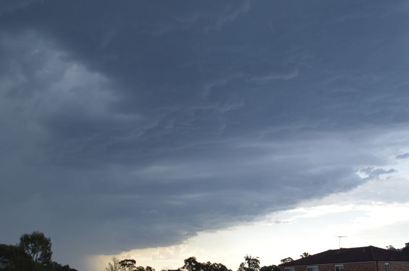
The storm event of Friday afternoon became quite significant in terms of its strength for the following reasons:
- It occurred on a day when maximum temperatures had reached and exceeded 30C for the day across Western Sydney (The fifth such day that this has occurred so far this month).
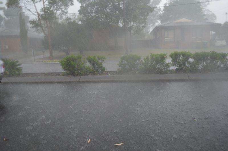
- The storm was slow moving but dropped considerable rainfall around northern Doonside and across the Quakers Hill region.
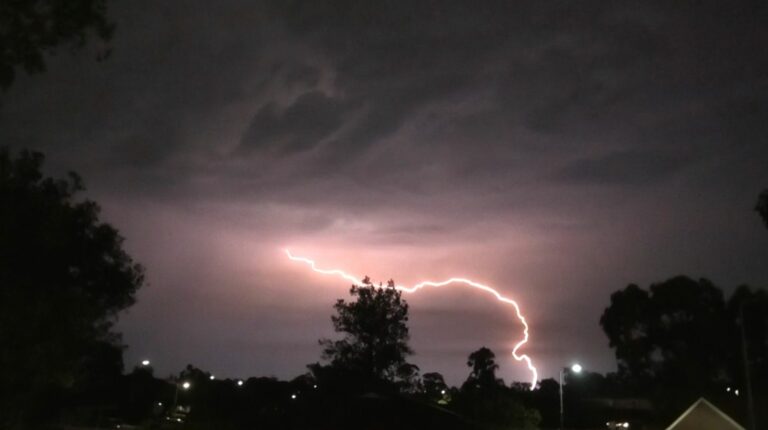
- Some powerful cloud to ground lightning strikes were observed around Doonside and Quakers Hill.
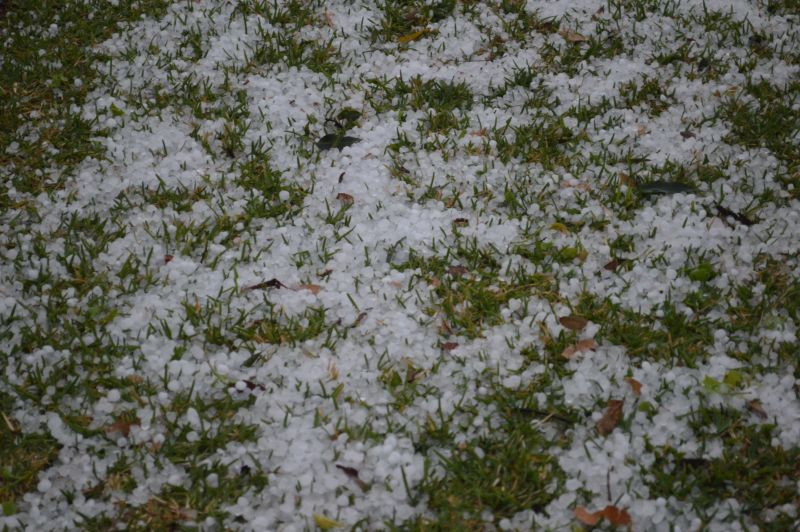
- Hail was encountered with the most intense hail fall occurring around Quakers Hill, especially along the Quakers Hill Parkway and an area around Farnham Road. Hail was observed to approximately 1 and 1.5 cm maximum size but the volume that fell was considerable.
- Intense rainfall was encountered.
- Strong wind gusts featured.
- Power outages occurred and numerous traffic lights were blacked out on Richmond Road following the event with police in attendance to assist traffic flows.
I undertook a local storm chase and thus, I did not have to drive too far to intercept the primary rain and hail core.
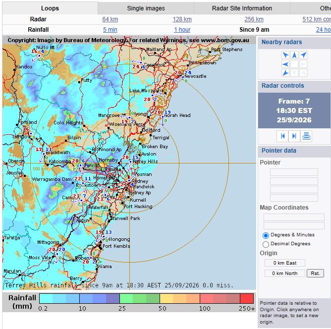
Looking at the Sydney Radar and rainfall plot, a small area around Quakers Hill appears to have experienced in excess of 40 mm to possibly 50 mm of rain. Looking at the rainfall plots across Sydney, the storm impacted an area that is poorly covered by weather stations and thus a true account of what occurred is not evident.
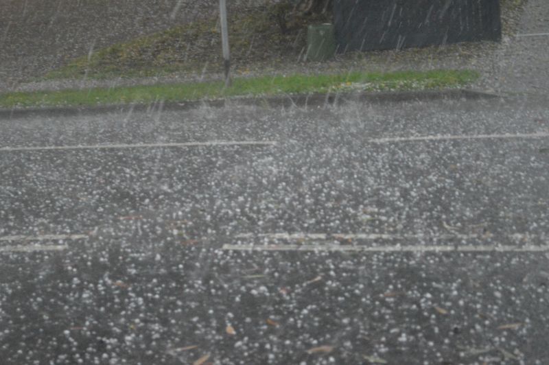
My home rain gauge received just 5.6 mm of rain from the event as Doonside was on the edge of the storm. No rain fell at Prospect Reservoir. At Quakers Hill, I was driving through intense rain and hail with water over the road. This shows how hit and miss the storm was.
A separate storm cell impacted Penrith which produced 11.8 mm. However, a small area just to the west of Penrith may have received as much as 50 mm from that storm.
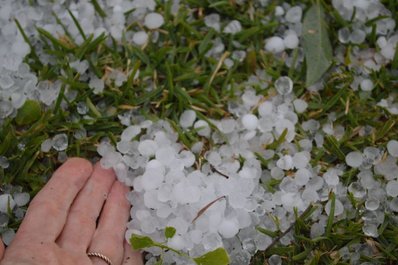
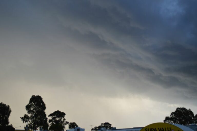
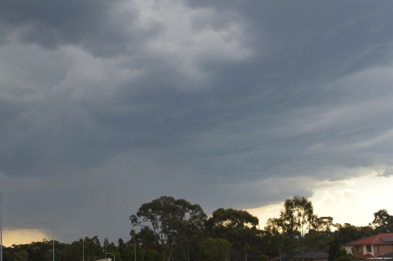
The photos attached to the post taken are from the chase at various locations spanning Doonside to Quakers Hill as the storm broke.