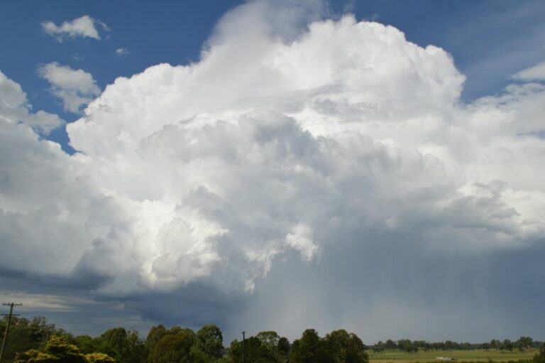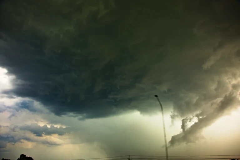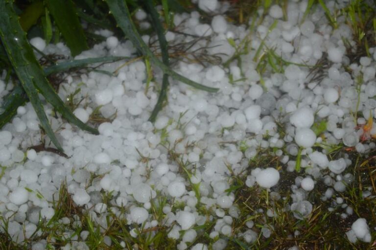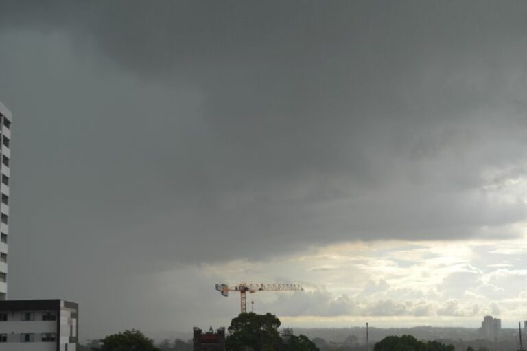
This event was captured and documented after I finished work at 5 pm with all images taken around the Mona Street Parklands at Auburn between 5.10 pm and 6.30 pm late Tuesday.
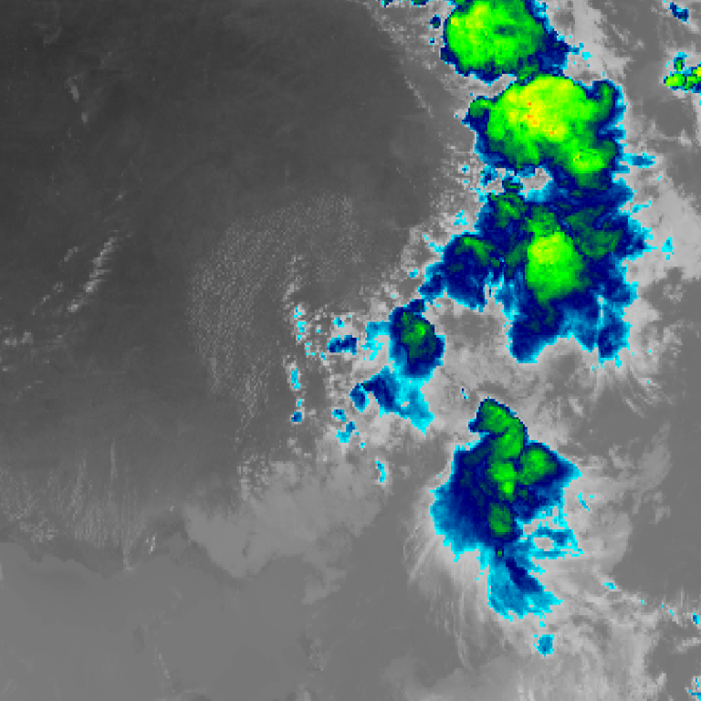
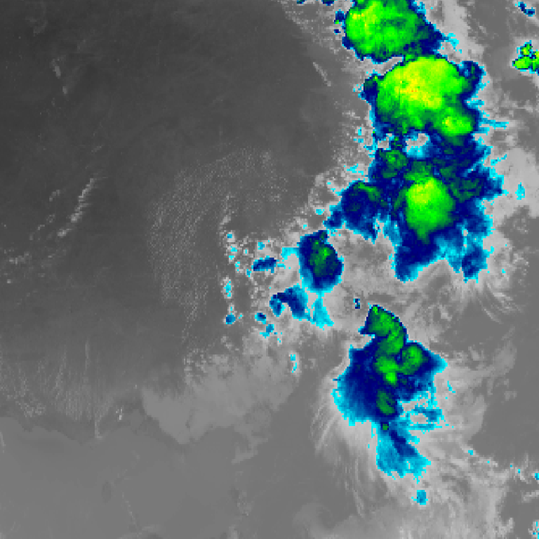
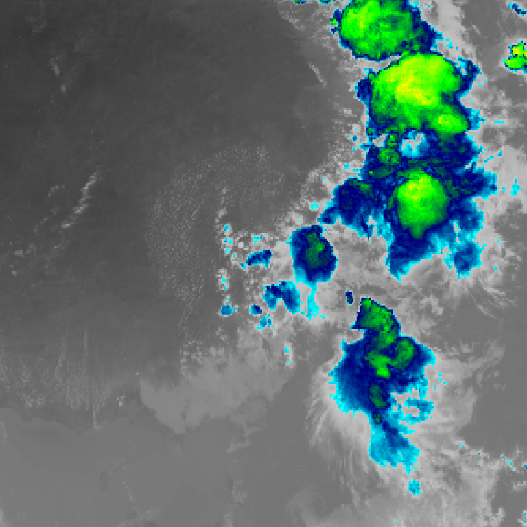
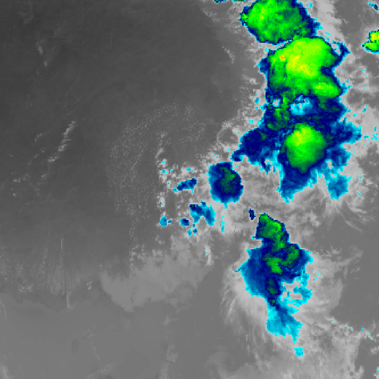
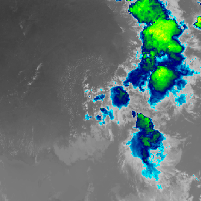
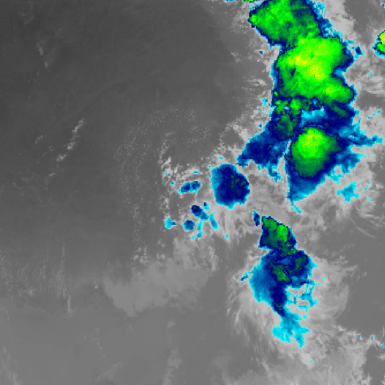
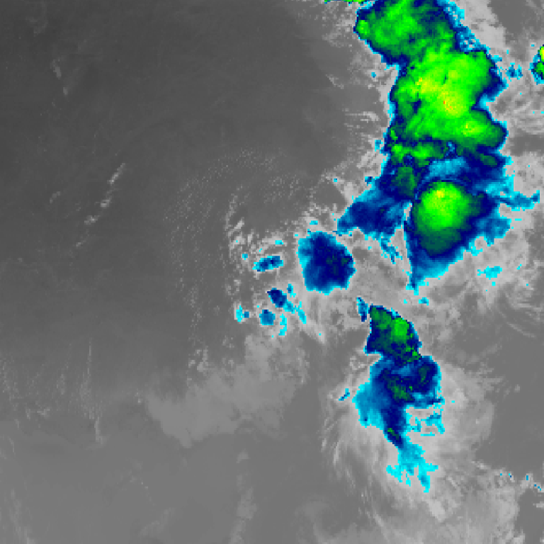
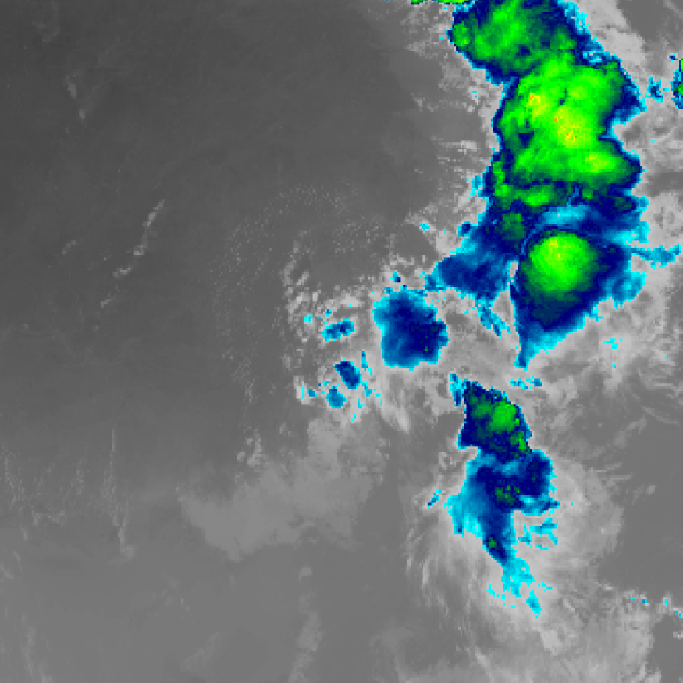
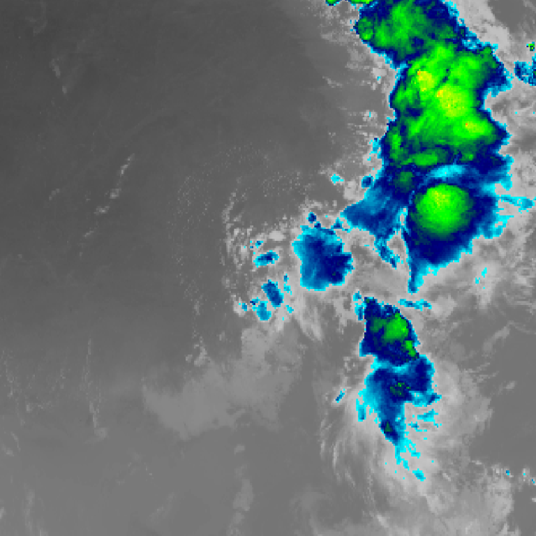
Himawari satellite loop (infrared) · 5:10pm AEDT – 6:30pm AEDT · Imagery: JMA Himawari via NASA GIBS
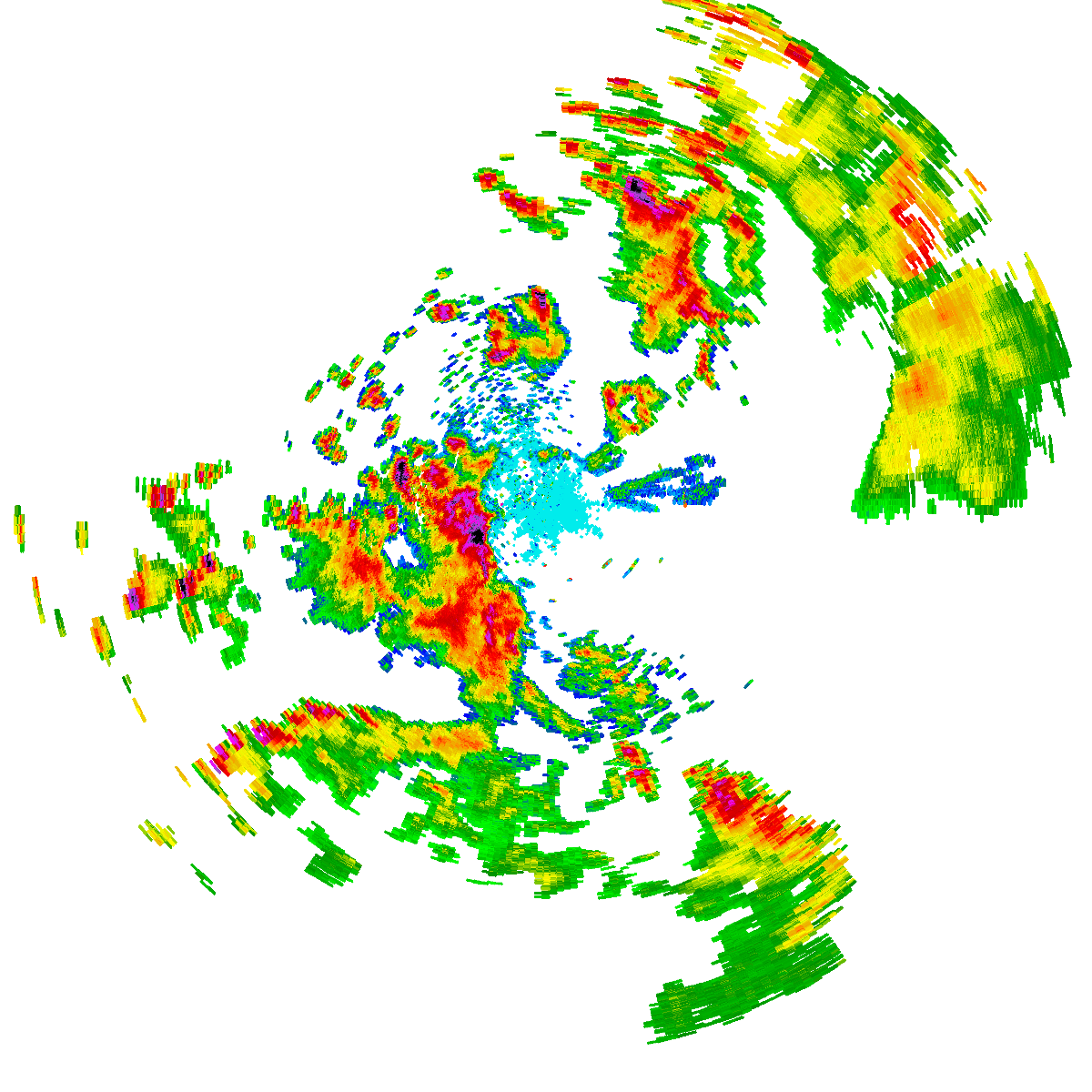
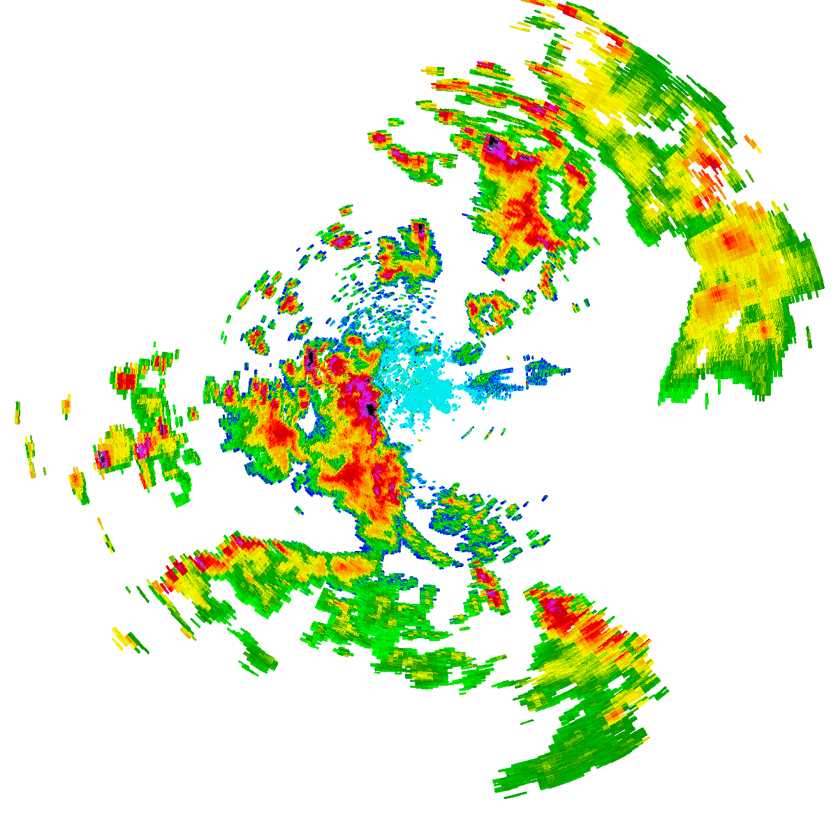
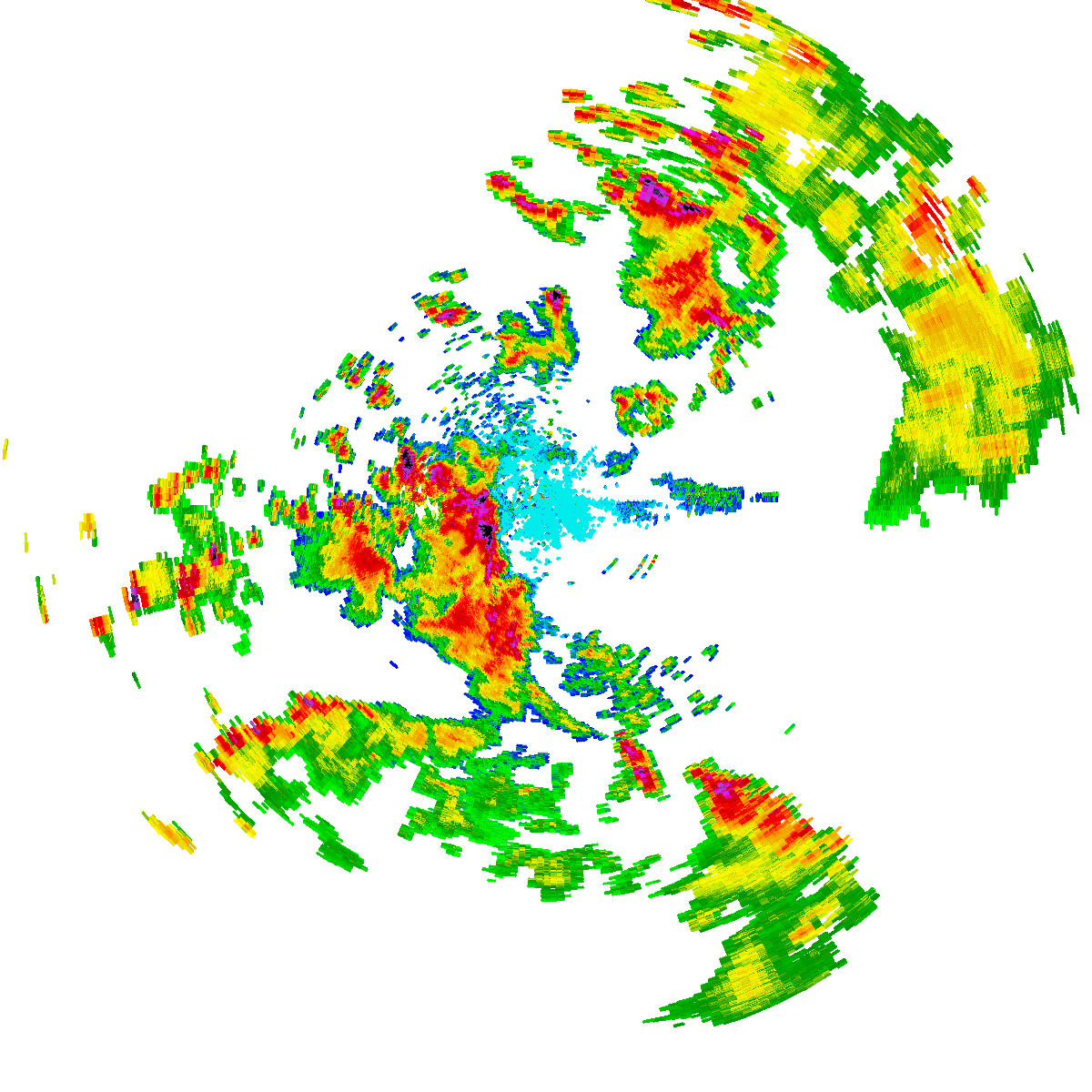
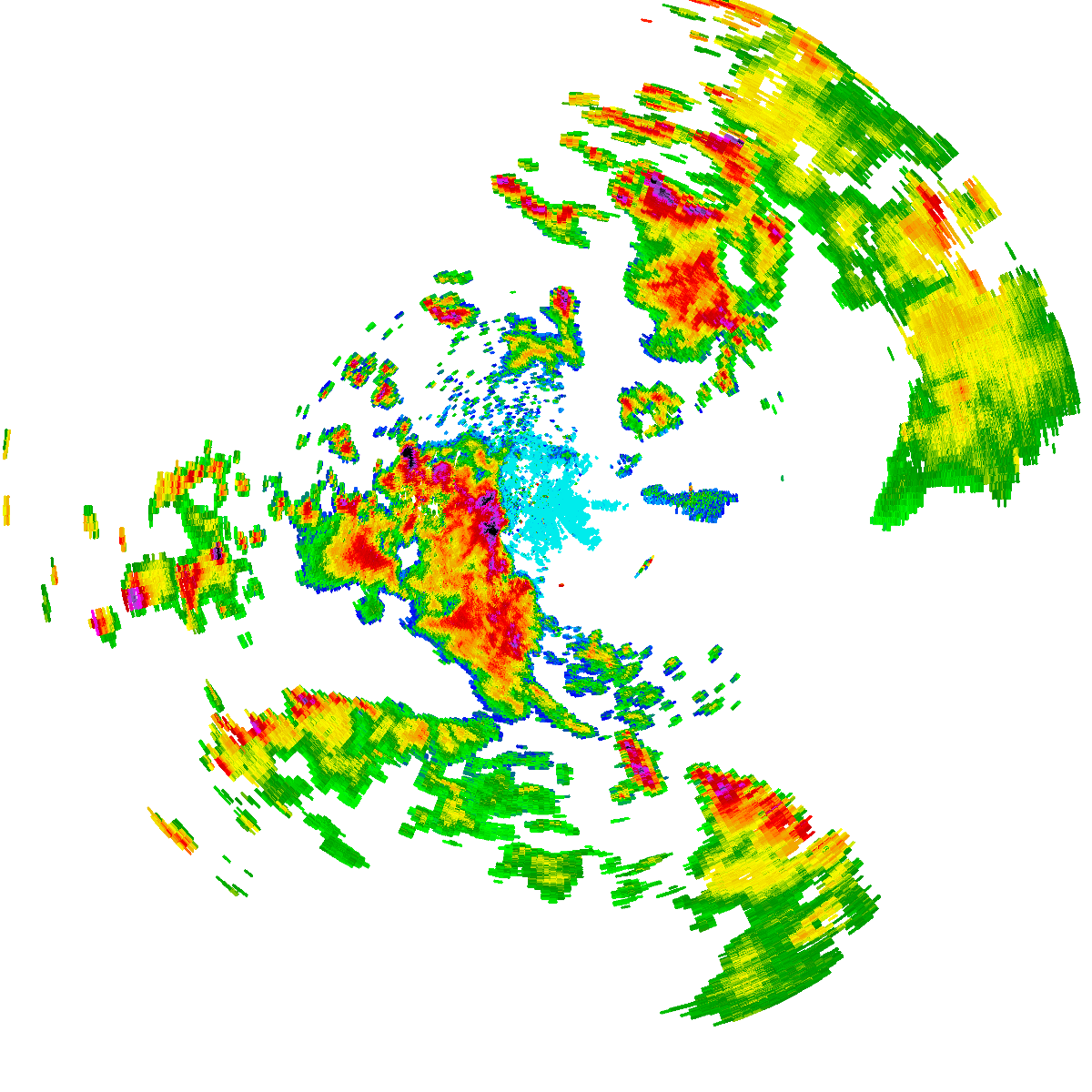
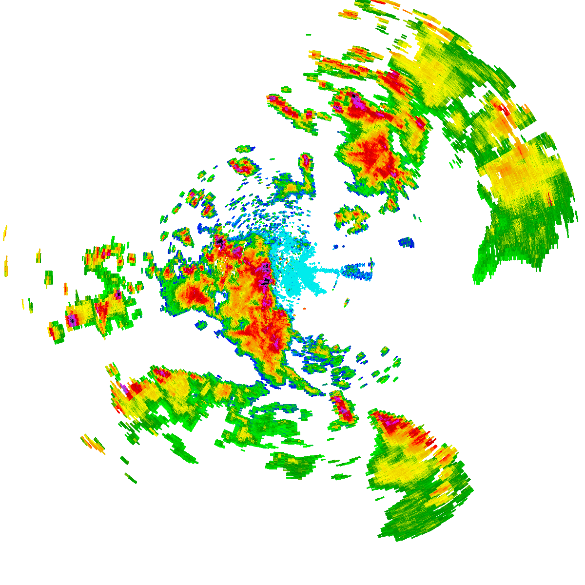
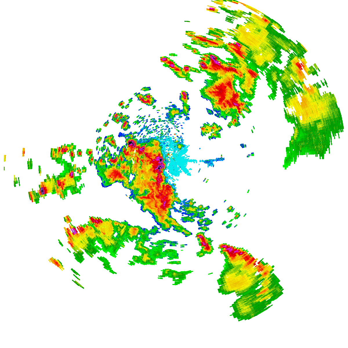
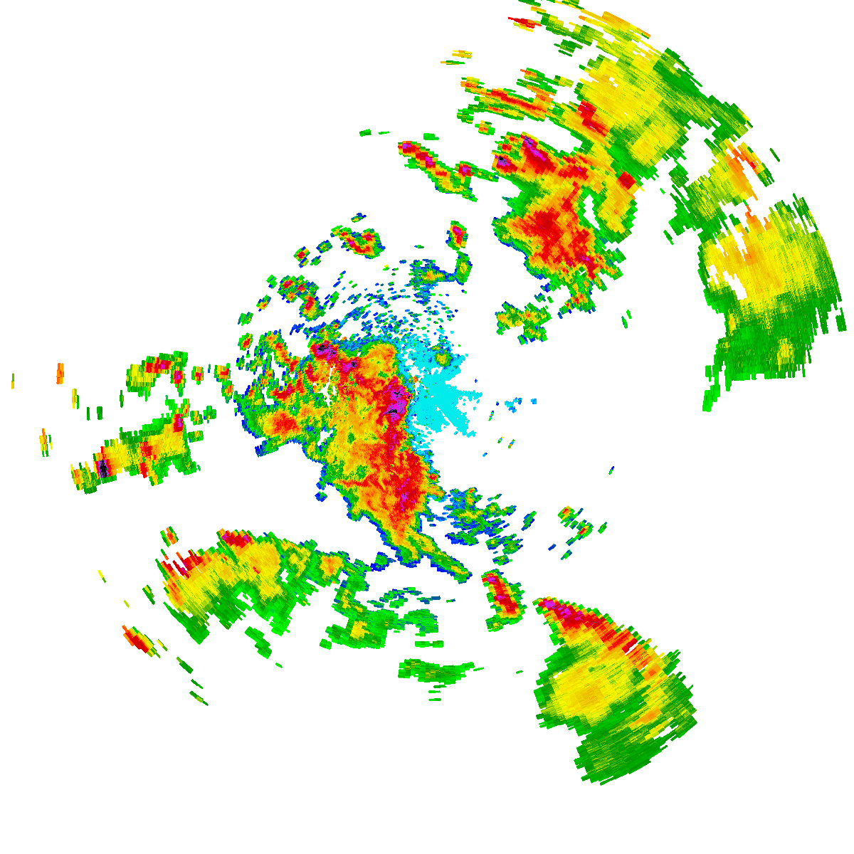
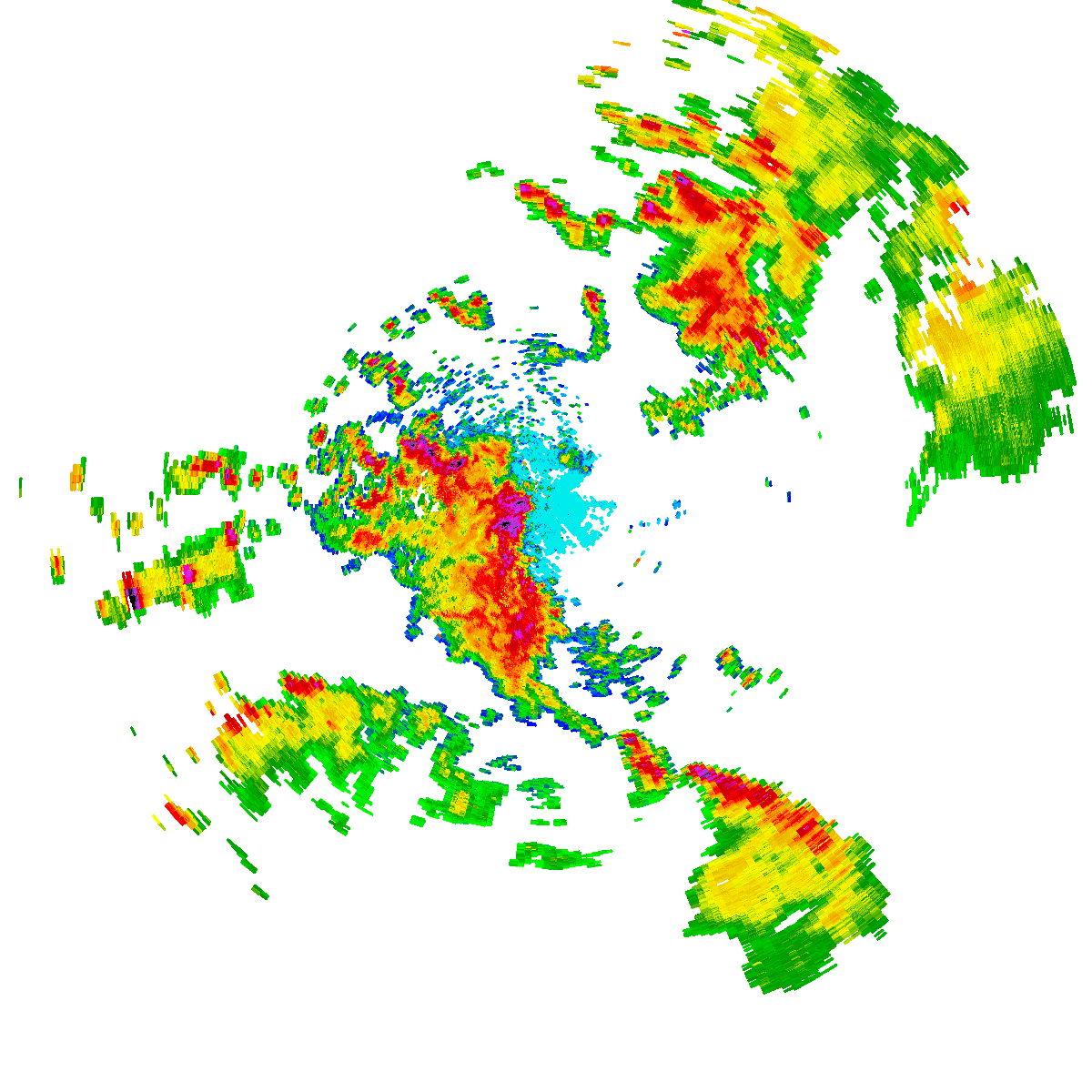
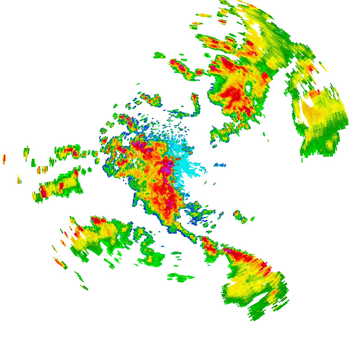
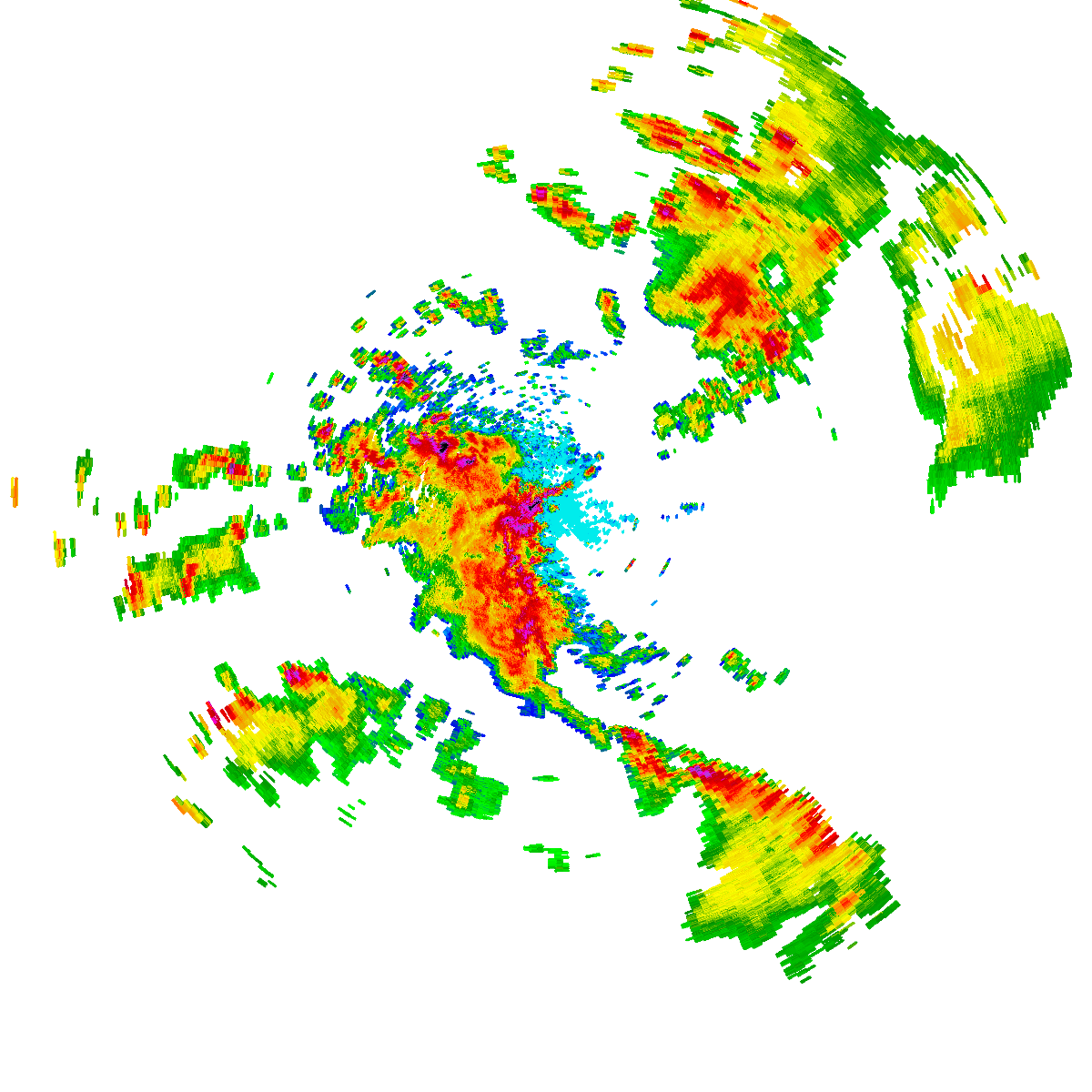
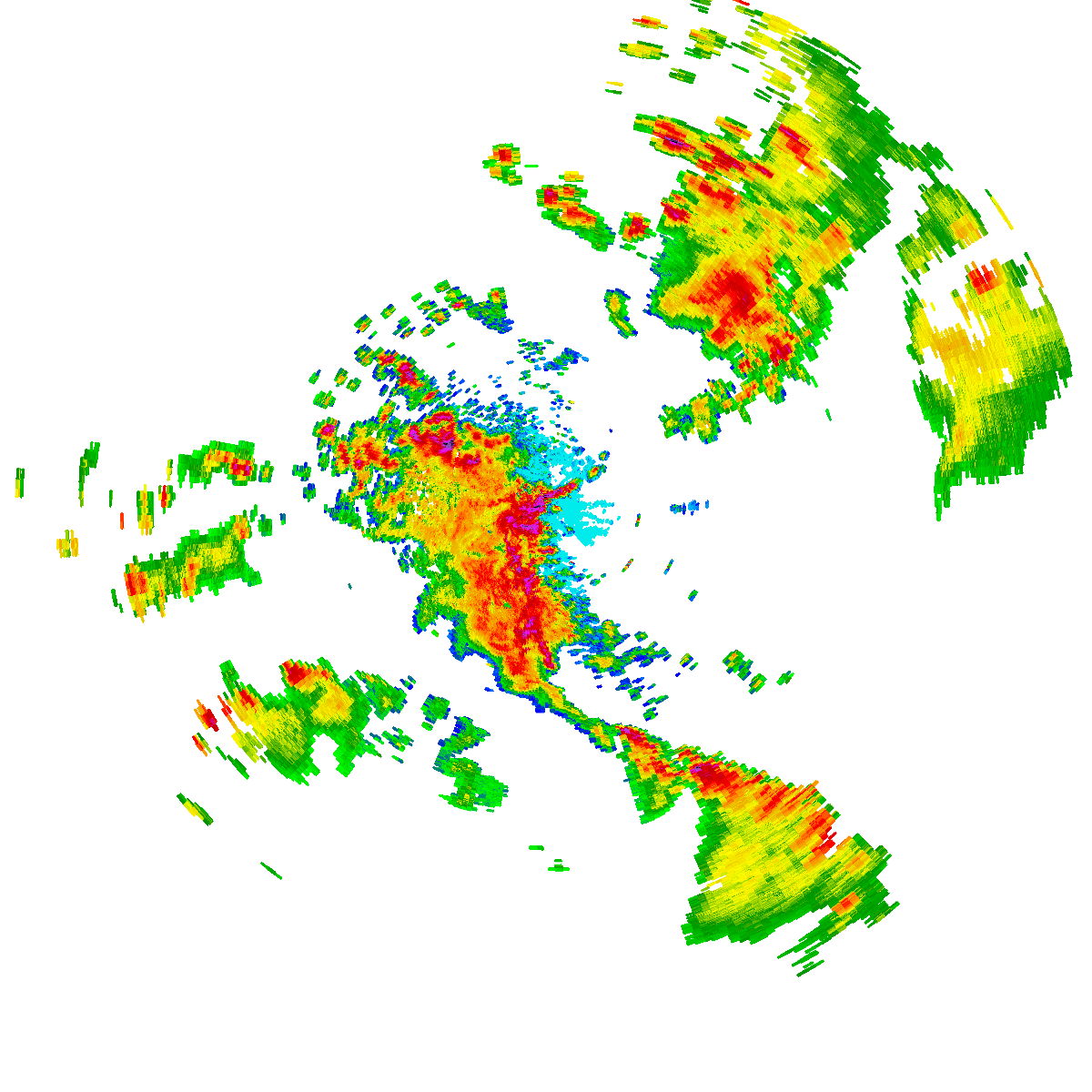
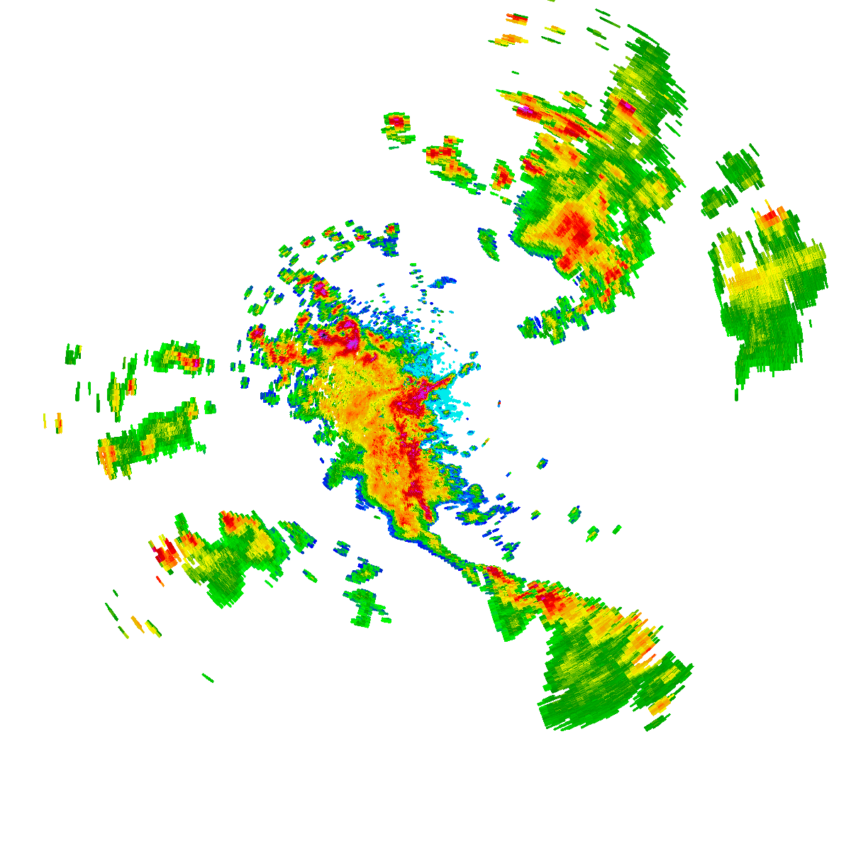
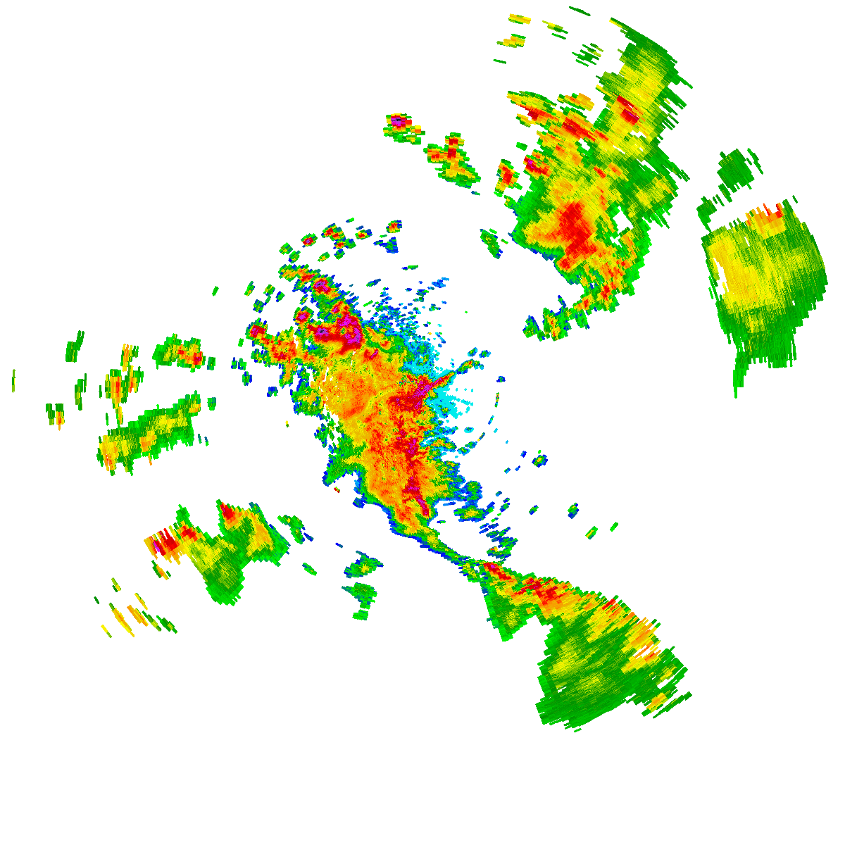
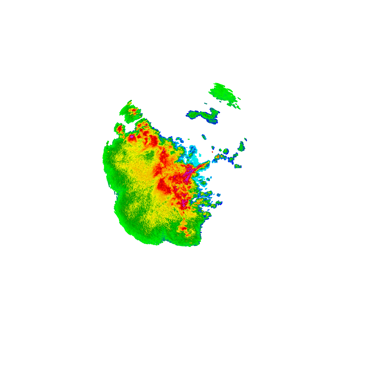

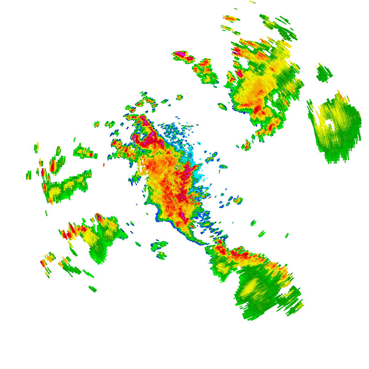
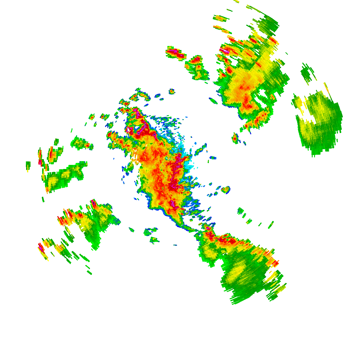
Bureau radar loop, Sydney (Terrey Hills) · 5:10pm AEDT – 6:30pm AEDT · Radar data: Bureau of Meteorology (CC-BY 4.0)
While no specific forecasting was made, I had a strong suspicion that a thunderstorm event would occur across Western Sydney Tuesday afternoon. As such, I took 2 cameras into work with me and as a result of that decision, I was able to capture this event as it unfolded late in the day across Western Sydney.
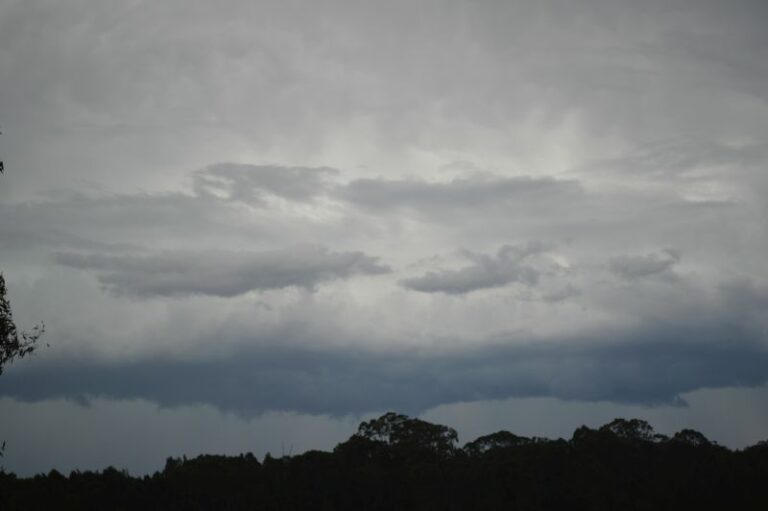
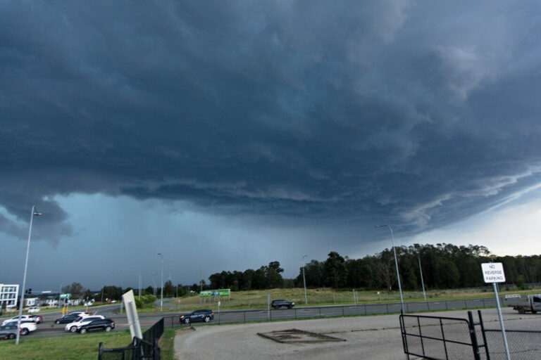
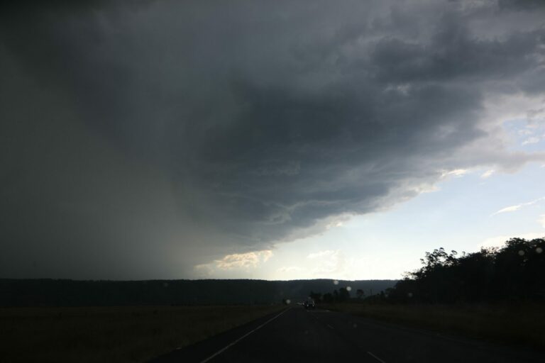
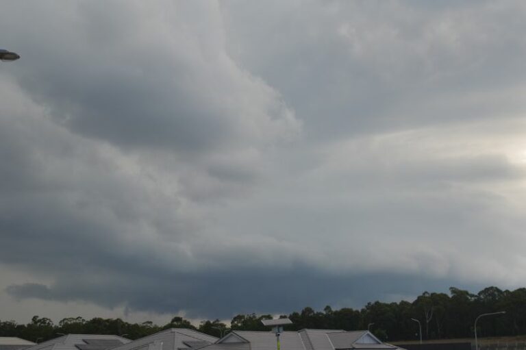
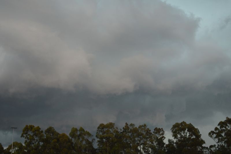
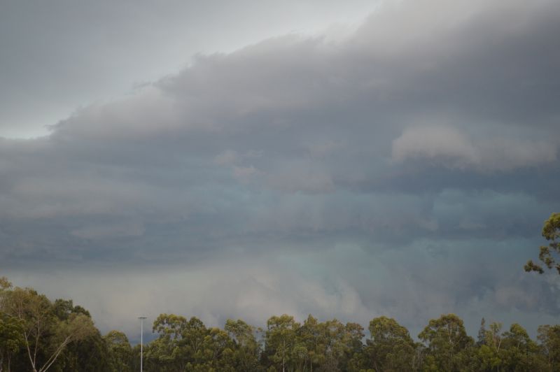
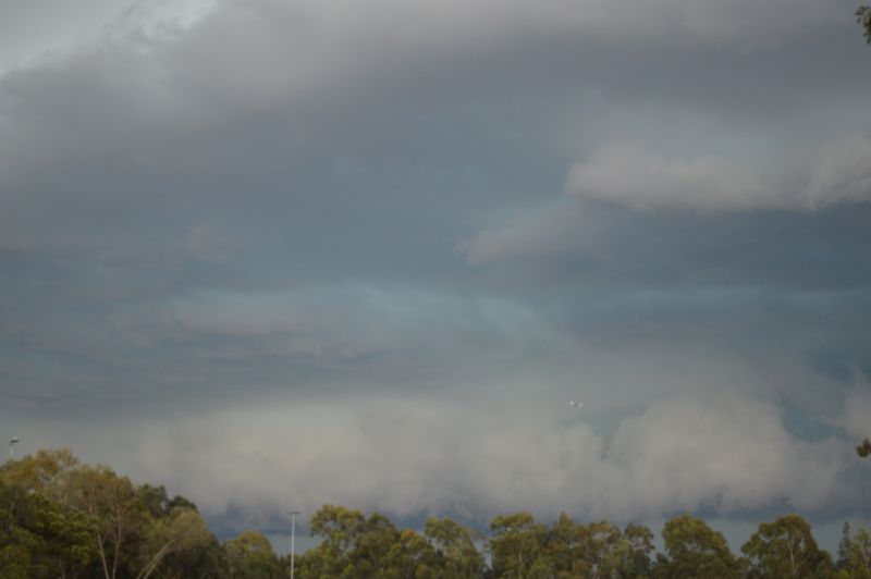
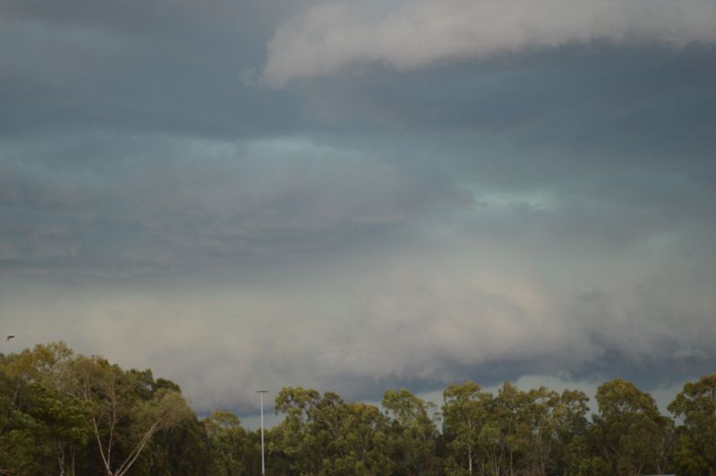
This is one of the better shelf clouds that I have captured over recent years as the storm event encroached across Western Sydney.
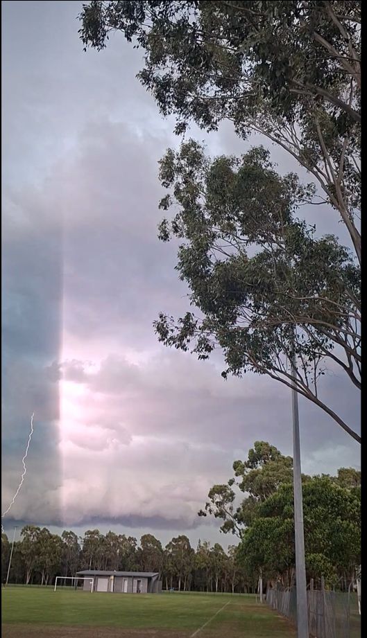
Featuring cloud to ground lightning strikes, I managed to capture my first cloud to ground strike using my new Samsung Galaxy A57 phone.
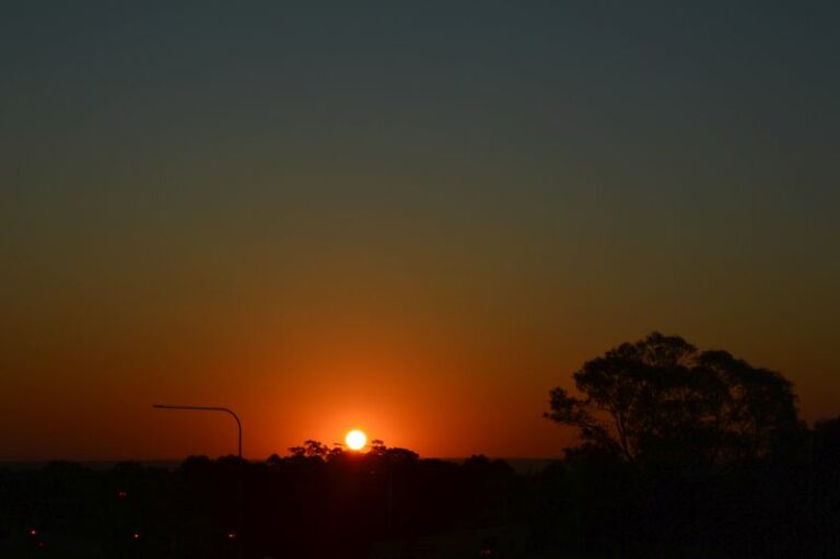
Featuring a low broadening base, the colours at times were also impressive and it was hard to miss what was occurring across the sky.
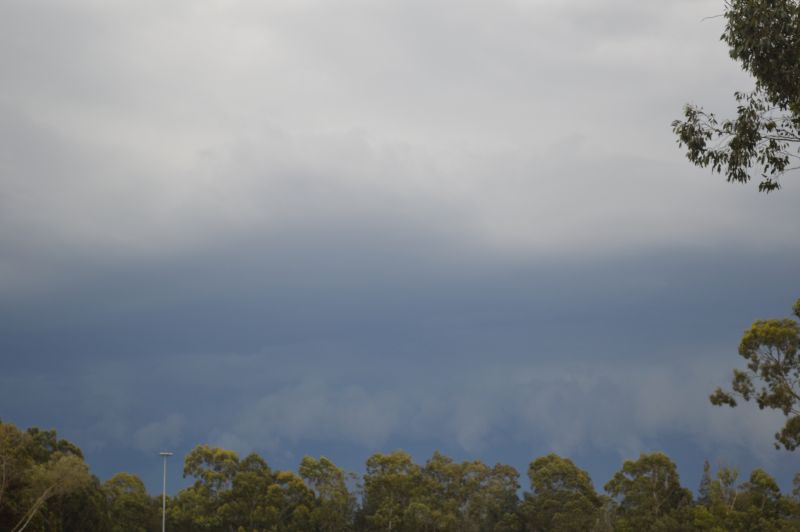
I made full use of the parklands capturing as many photos as possible as the squall line event approached from the west.
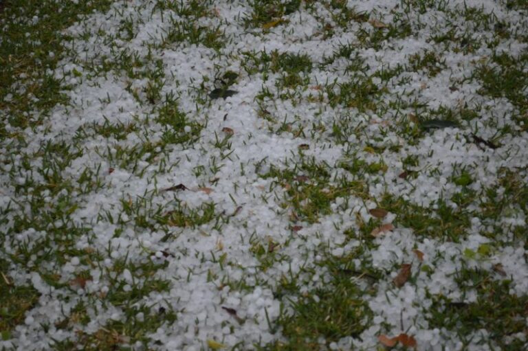
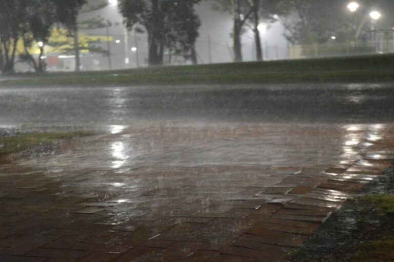
As the shelf cloud passed over and just prior to the intense rain that fell, a short period occurred where gale force winds featured. The storm did show evidence of producing hail but where I was, no hail fell. However, the rain was cold and intense at times. I did witness while sheltering under an awning a close cloud to ground lightning strike which featured a powerful thunderclap.
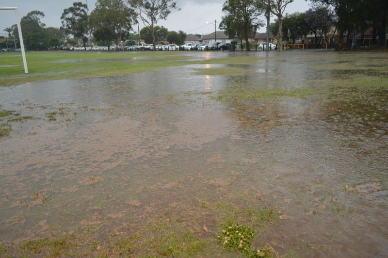
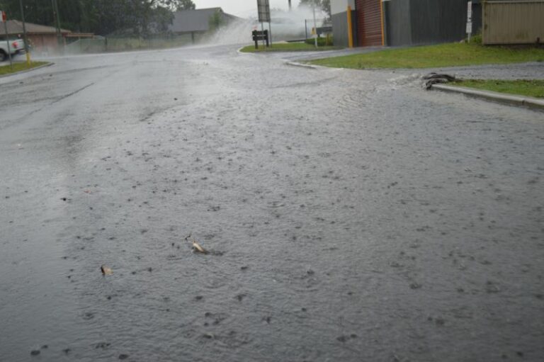
The rain was heavy and local flooding featured. I managed to capture some images of flooding across the Mona Street Parklands.
Following the storm, I drove home and noted that there was flooding along Treves Street Merrylands.
The heaviest rainfall of 50 mm to 70 mm fell within a narrow band stretching from Badgerys Creek to the west and to Auburn to the east. The heaviest rainfall includes:
- Badgerys Creek – 70.2 mm.
- Greystanes – 56 mm.
- Prospect – 54 mm.
- Horsley Park – 50 mm.
- Merrylands West – 42.5 mm.
While most of Sydney was impacted, this was the area that was impacted by the heaviest rainfall.
When looking into this, this was the area that was most affected with flooding evident across low lying areas and sporadic power loss across the wider locality.
I was aware of incidents on the M4 Motorway including major traffic gridlock, flooding, traffic lights blacked out and some tree damage.
This was obviously a significant storm event and the second one that I have now experienced since September 25.