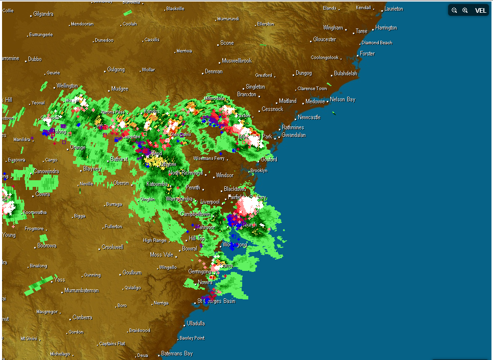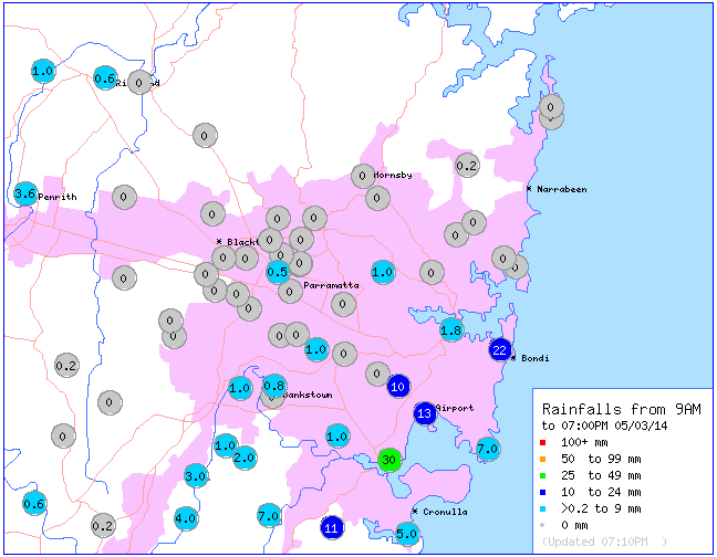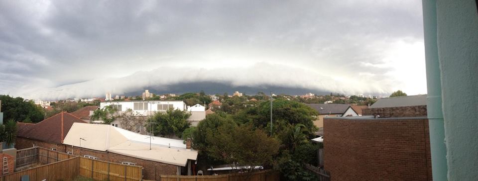
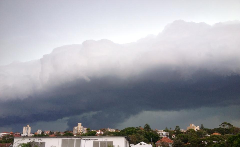
A spectacular storm hit Sydney this afternoon during rush hour with heavy rain, lightning and a severe thunderstorm warning which has expired. More warnings were issued for the Central Coast and Lake Macquarie region this evening for heavy rain. A spectacular shelf cloud was observed across the Eastern Suburbs prior to the storm approaching. Rainfall totals reflect the storms most intense cores passing through the southern and eastern suburbs.
General Weather · Lightning
Severe Storms and Heavy Rain Sydney 5th March 2014
More storms near Sydney, NSW
Severe Hailstorms and Wind Luddenham 3rd October 2026
3 Oct 2026 · Sydney, NSW
Hailstorms Western Sydney and Lower Blue Mountains
26 Sep 2026 · Sydney, NSW
First Storm and Hail Event for Season 2026-2027 – Western Sydney – Friday 25 September 2026
25 Sep 2026 · Doonside, NSW
Warm Weekend with 30C Maximum Daytime Temperatures – Western Sydney 19 and 20 September 2026
20 Sep 2026 · Western Sydney, NSW
A Week of Rain – Eastern New South Wales and Queensland – May 24 to 29
31 May 2026 · Eastern NSW
Storm Chase and Spectacular Thunderstorm Cell Camden NSW – Thursday 26 March 2026
27 Mar 2026 · Camden, NSW
Camden to Campbelltown Hailstorm 26th March 2026
26 Mar 2026 · Sydney, NSW
Significant Western Sydney Afternoon Thunderstorm with Large Hail – Saturday 21 March 2026
21 Mar 2026 · St Marys, NSW
Heavy Showers Cause Localised Flooding Across The Sydney Region – 18 and 19 March 2026
20 Mar 2026 · Sydney, NSW
Intense Rainstorm / Thunderstorm Impacts Parts of Western Sydney – Hornsby to Horsley Park – Saturday Evening 7 March 2026
8 Mar 2026 · Horsley Park, NSW
Late thunderstorm Outer Western Sydney – Monday 9 February 2026
13 Feb 2026 · Outer Western Sydney, NSW
A Contrast of Two Storms Across Western Sydney – Saturday 31 January and Sunday 1 February 2026
6 Feb 2026 · Western Sydney, NSW
All storm reports from Sydney, NSW →
Also on 5 March
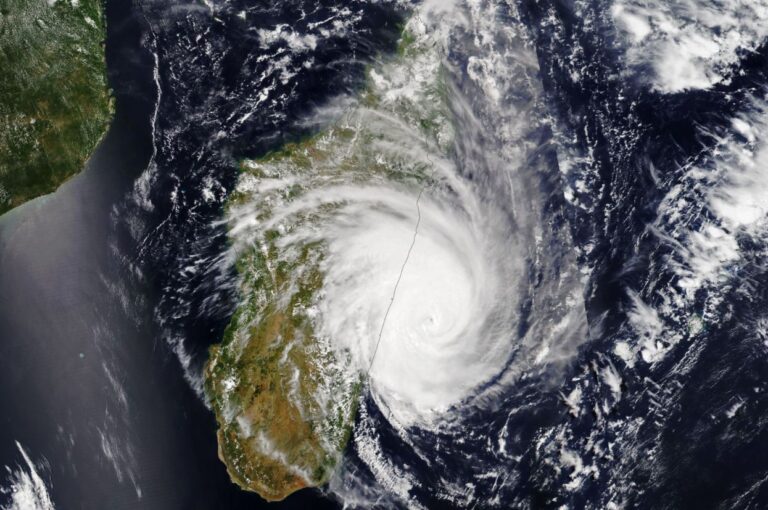
Tropical Cyclone Freddy – A remarkable storm that crosses the Indian Ocean – February 2023
5 Mar 2023 · Mananjary, Madagascar, MG
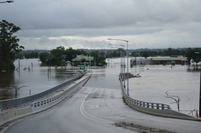
Moderate to Major Flooding – Hawkesbury River Basin – 5 March 2022
5 Mar 2022 · Windsor, NSW
Re: NSW Storms then NE NSW / SE QLD Flood Disaster : 5 – 14 January 2011
5 Mar 2011 · North East NSW
Re: NSW Storms then NE NSW / SE QLD Flood Disaster : 5 – 14 January 2011
5 Mar 2011 · North East NSW
Re: La ~ Nina and her effect on the Australian storm season / General weather
5 Mar 2011
Tropical Cyclone Hamish : Queensland from March 5 2009
5 Mar 2009 · Mackay, QLD
4 comments
Add a comment
You must be logged in to post a comment.


Looked like a nice shelf cloud! I had just received a message from Leonie and then Dave Croan contacted me about the shelf cloud.
I think that was very outflow dominant.
Please find attached two photos of this storm as it passed north along the coast and Sydney’s East.
I am on top of the Auburn City Council car park roof looking south east.
A shelf cloud was observed. I observed some lightning and mid range thunderclaps but all the activity was to the south and south east.
A light showers did occur at Auburn but generally nothing significant.
I could not chase but the shelf cloud was an interesting feature to watch.
I managed to obtain this photo image which is quite clear considering the distance. The colouration feature did not last long but it lasted long enough to enable me to take at least one image of it.
There was another storm cell to the west of Sydney during the Wednesday afternoon peak hour but I was unable to get close enough to it to take any photos. I only saw one cloud to ground lightning strike from it before is rapidly decayed.