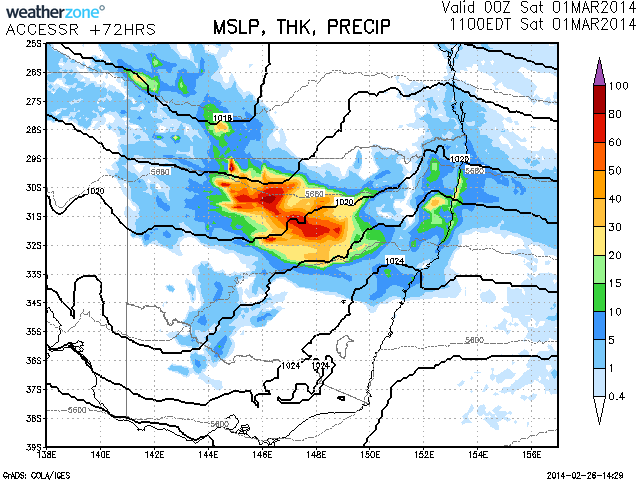
Rain and storms are possible this weekend as a trough moving through the state today re-establishes inland.Regions from near Coonabrabran through to Cobar and up to the Queensland border can expected widespread falls up to about 60mm or more. The intensity of the rain event at this stage is not consistent on all models including its location but it is looking somewhat positive for a rain event to occur in the northern inland of NSW. This needs to be watched and it should provide some much needed follow up rainfall for regions that experienced widespread rainfall over a week ago in mid-February.

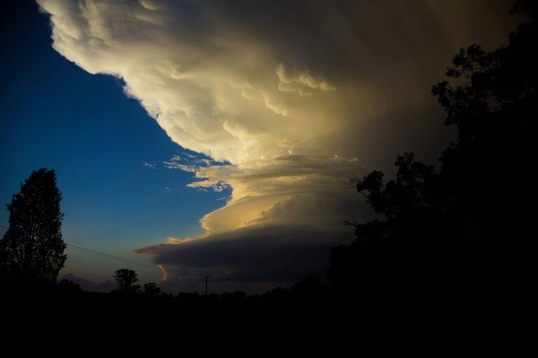


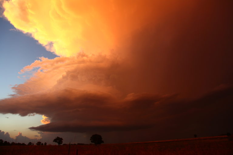

Seems like Sydney is going to also get some rain this weekend from this system!
Rain band developing in the Hunter with persistent rain. Harley what falls have occurred already?
I am currently in Batemans Bay where only light falls have occurred. Some of this rain has penetrated into South West NSW including 9 to 12 mm around Albury. Heavier falls have occurred around Cabramurra being 20 mm. Isolated good totals have occurred at West Wyalong being 34 mm, Tullamore 58 mm and Lake Cargellico 81 mm. Much of the Central West has received solid falls of 26 mm to 49 mm including 26 mm at Dubbo, 40 mm at Forbes and 41 mm at Nyngan. The Hunter Valley and parts of the lower North Coast has received the best totals till 9 am 1/3/2014 including 54 mm at Maitland, 58 mm at Singleton, 60 mm at Dungog and Mudall, 69 mm at Upper Chichester and 73 mm at Moppy Lookout.
Given the models and position of the cloud and rain, it is expected that the Central West and Central Tablelands will again receive further good falls of rain. The BOM rain models suggest 25 to 49 mm for these areas for today 1/3/2014 and up to 25 mm around Sydney with lighter falls further south. I will provide some greater analysis of this when I return to Sydney. I am on the South Coast this weekend and here the rainfall is light and patchy. This region is only receiving cloudy conditions with light showers.
I have been outside Sydney for the past 3 days in Batemans Bay where the southern part of the NSW South Coast missed much of the rain. Anywhere further south than Batemans Bay had a fine day for the 1/3/14 and further south, it was fine and even partly sunny.
For the 24 hours till 9 am 2/3/2014 the best falls occurred at a number of locations as follows:-
Sydney
The wettest areas were 51 mm at Rossmore which is west of Liverpool and 73 mm at Liverpool. The south west suburbs were the wettest while the city Observatory Hill had 6.8 mm. Areas around Blacktown had 17 to 19 mm.
Wollongong
The southern suburbs had 50 to 74 mm with 24 to 49 mm falling elsewhere across the city and region.
Hastings region (Port Macquarie)
This was the wettest location across New South Wales. Killabakh had 110 mm with Mt Seaview receiving 102 mm. Old Bar had 95 mm and Yarras Mountain had 77 mm. The ranges to the west of Port Macquarie were wet for the day.
The attached plot for the 2/3/2014 shows part of the NSW North Coast as being wet as well as the Central West and Central Tablelands and Illawarra region.
It was interesting to see at Batemans Bay where if I looked north, I could see the heavy cloud and rain bands sweeping across the region. Looking south the cloud thinned and blue sky was observed. The transition zone from sunny conditions occurred from roughly Narooma to rain from Ulladulla. The cloud layers observed included high cirrus to the south to alto stratus to rain bearing nimbostratus to the north. There was some uplift of cloud created by the coastal range but these did not generate any storm activity and only contributed to very light isolated showers around the Batemans Bay region for the day.