Extreme Storms

Storm report

Lightning and severe storms Ballina – Byron Bay areas 26 October 2013

· by Michael Bath

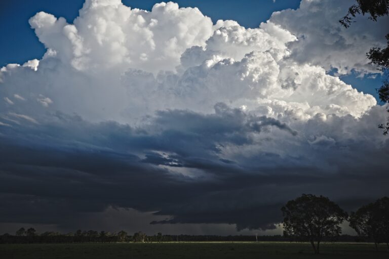
Storms developed on a southeast change clipping the Northern Rivers coastline from about 7.30pm Saturday 26 Oct 2013. Jason Paterson and I ventured down to Ballina for some lightning and were treated to quite a nice display. A severe storm developed at South Ballina and caused flash flooding and hail. There were unconfirmed reports of hailstones up to golf ball size but suspect the biggest were about 2-3cm.
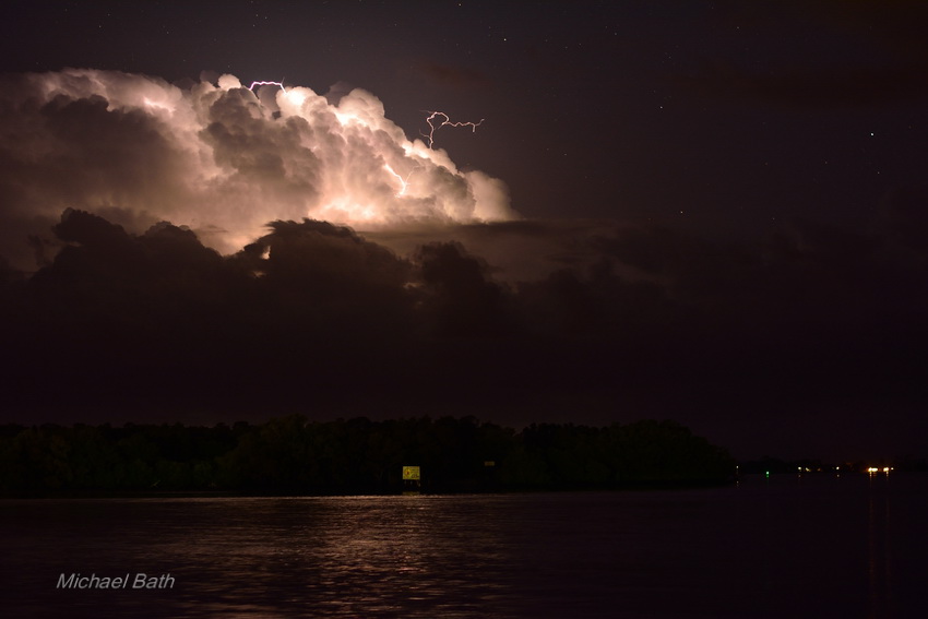
DSC_0396

Above: Storm still southeast of Evans Head at this stage. Pic from Burns Point Ferry, West Ballina. Quite a lot of sparks were cloud to air. 8.35pm
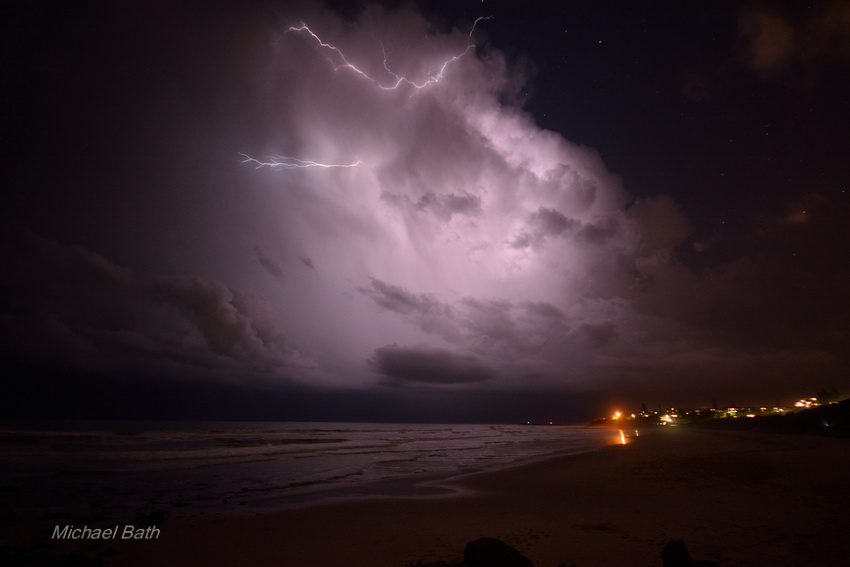
DSC_0452

Above: The activity had become weak until this storm developed at South Ballina. Had to switch to the 10mm lens to capture the scene. Taken from the northern end of Shelly Beach, East Ballina. 9.45pm DSC_0459
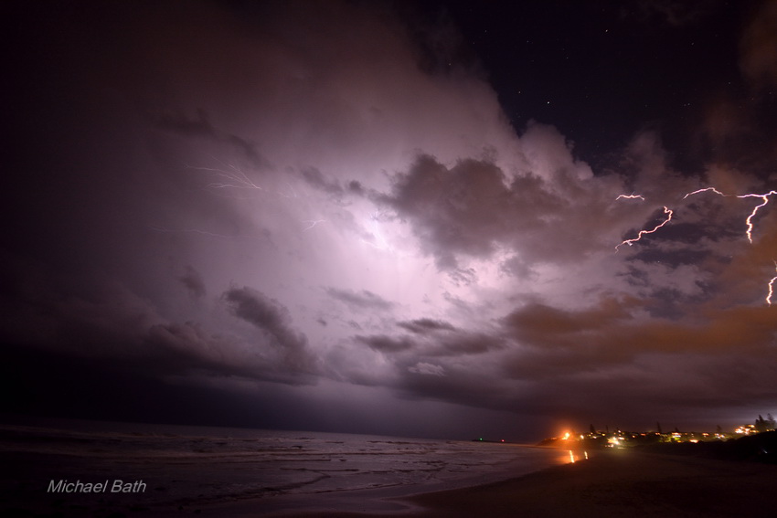
Above: Dogleg bolt. Shelly Beach, East Ballina. DSC_0461
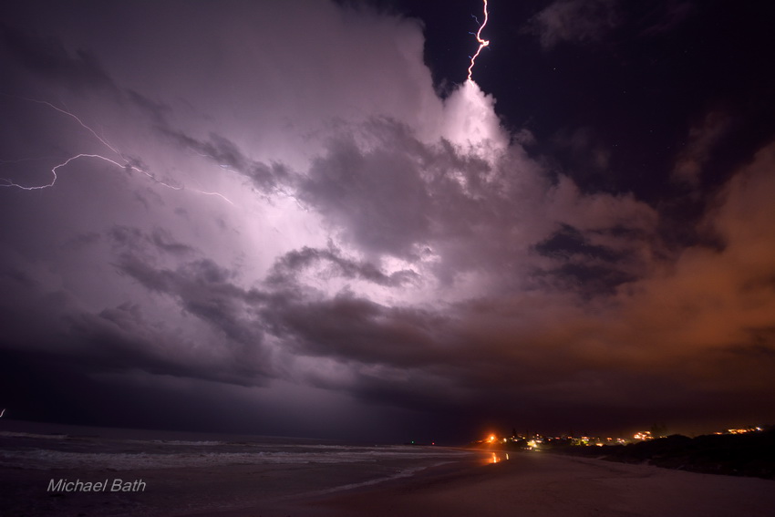
Above: Not sure where this bolt landed but it was close! Shelly Beach, East Ballina. DSC_0469
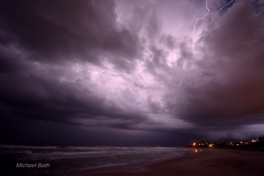
Storm about to unleash torrential rain and hail across Ballina. Taken from Shelly Beach, East Ballina, 10pm.

Michael Bath

Open the storm map around Ballina, NSW

More storms near Ballina, NSW

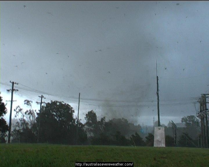
Heavy Rainfall impacts Southeast Queensland and Northeast New South Wales – 17 and 18 May 2026 23 May 2026 · Gold Coast / SE Queensland Heavy rain, storms and flooding – North East New South Wales and South East Queensland – 1 – 2 January 2024 5 Jan 2024 · NE NSW / SE Queensland Major thunderstorm outbreak Eastern Australia – December 24 to December 27 28 Dec 2023 · Eastern Australia Quick teaser from yesterday, after the structure shot. Taken about 2km outside of Beaudesert hand held through the window of the car…way too danger… 23 Dec 2023 · Beaudesert, QLD 26th October 2007 Daniel Shaw assisted me (yes way way back) to get footage world wide of an up close personal tornado and debris hitting a substation… 17 Jan 2023 · Dunoon, NSW Storms from South of Grafton through to Yamba with hook echo for a fair bit of a time! Not for Media Use Licensing available Call 0408020468 www… 1 Jan 2023 · Grafton to Yamba, NSW Further heavy rain and storms – Eastern NSW / SE QLD – 24 to 29 March 2022 26 Mar 2022 · NE NSW / SE Queensland Some may recall this supercell has it been 4 years!! Storms from South of Grafton through to Yamba with hook echo for a fair bit of a time! Not fo… 1 Jan 2022 · Grafton to Yamba, NSW Today is the anniversary of Tyndale when I used to go out and get giant hail 26th October 2003. Dave Croan was with me doing his measurements – this … 26 Oct 2021 · Tyndale, NSW Heavy coastal showers – New South Wales North Coast, 15-21 February 2021 21 Feb 2021 · NSW North Coast Extreme Storms Whiporie Supercell 5th January 2021 9 Jan 2021 · Whiporie, NSW Started at Narrabri – flat battery and an NRMA call and off I went. Target Grafton via Dorrigo. Darted to Ulong region which was close to where 2cm ha… 6 Jan 2021 · Whiporie supercell (Grafton), NSW

All storm reports from Ballina, NSW →

Also on 28 October

2 comments

  1. Michael – glad you were able to get out – quite impressive! Seems like moisture is moving in and the storm season may come alive. Storms with heavy falls in coastal Sydney this morning.

  2. Michael, are we still going to be concerned about fires or is this the change in conditions we needed. The moist air certainly makes it less ideal for bush fires to thrive as they did in previous weeks.

Add a comment

After the storm Hail damage repair Hail dents removed from behind, factory paint kept. Hail Dent Repair. Chase with us Chase a storm for real Guided storm chasing tours in Australia and Tornado Alley. See Thunderbolt Tours.
Coming soon Radar and storm forecasting Live radar tools and severe storm forecasts from the Extreme Storms team.