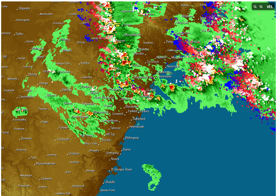
 An upper trough moving across NSW with a cold pool of air aloft led to the rapid development of widespread thunderstorm activity across eastern NSW today. Most of the intense activity seems to have been in the vicinity of Newcastle and the lower Mid-North Coast regions. Widespread storm activity also occurred in northeastern NSW and southeast Queensland with strong winds and hail the primary threats. Hail to the size of golf balls was observed in some locations of NSW with the more intense cells.

Hailstorms · Supercell
Storms widespread across eastern NSW 29th October 2013
More storms near Newcastle, NSW
 A Week of Rain – Eastern New South Wales and Queensland – May 24 to 29
31 May 2026 · Eastern NSW
A Week of Rain – Eastern New South Wales and Queensland – May 24 to 29
31 May 2026 · Eastern NSW
 Heavy Showers Cause Localised Flooding Across The Sydney Region – 18 and 19 March 2026
20 Mar 2026 · Sydney, NSW
Heavy Showers Cause Localised Flooding Across The Sydney Region – 18 and 19 March 2026
20 Mar 2026 · Sydney, NSW
 Two days of heavy rainfall New South Wales Central Coast to the South Coast – 17 and 18 January 2026
18 Jan 2026 · Central Coast, NSW
Two days of heavy rainfall New South Wales Central Coast to the South Coast – 17 and 18 January 2026
18 Jan 2026 · Central Coast, NSW
 Spectacular Storm Colo Heights 13th December 2025
14 Dec 2025 · Colo Heights, NSW
Spectacular Storm Colo Heights 13th December 2025
14 Dec 2025 · Colo Heights, NSW
 Summer Heat and 40C Maximum Temperatures Southeast Australia – 5 and 6 December 2025
7 Dec 2025 · South East Australia
Summer Heat and 40C Maximum Temperatures Southeast Australia – 5 and 6 December 2025
7 Dec 2025 · South East Australia
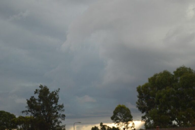 Storm Outbreaks, Cold, Damaging Winds and Intense rain events Eastern Australia – 26 October to 1 November 2025
1 Nov 2025 · Eastern Australia
Storm Outbreaks, Cold, Damaging Winds and Intense rain events Eastern Australia – 26 October to 1 November 2025
1 Nov 2025 · Eastern Australia
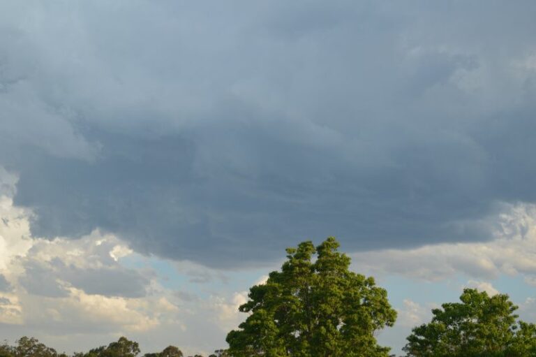 Hot day ends with afternoon storms and Storm Chase – Eastern New South Wales – Friday 17 October 2025
18 Oct 2025 · Colo Heights, NSW
Hot day ends with afternoon storms and Storm Chase – Eastern New South Wales – Friday 17 October 2025
18 Oct 2025 · Colo Heights, NSW
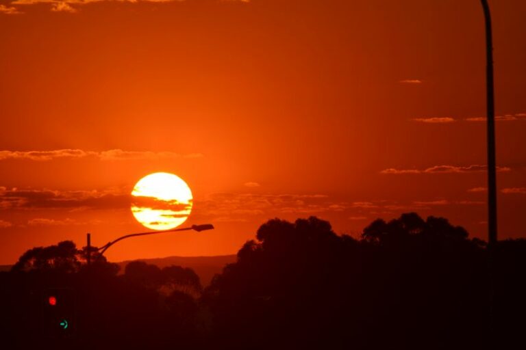 A warm to hot October week for New South Wales – October 5 to 12 2025
11 Oct 2025 · New South Wales
A warm to hot October week for New South Wales – October 5 to 12 2025
11 Oct 2025 · New South Wales
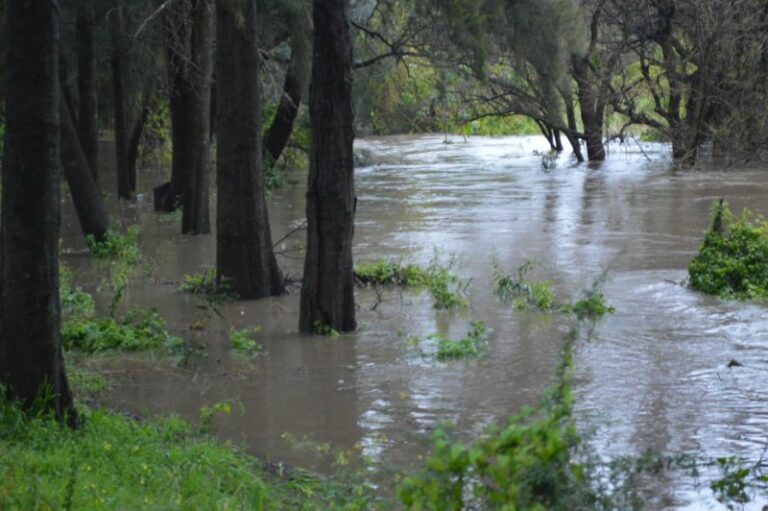 Coastal New South Wales and Sydney drenched by Rain – August 2025
23 Aug 2025 · Sydney, NSW
Coastal New South Wales and Sydney drenched by Rain – August 2025
23 Aug 2025 · Sydney, NSW
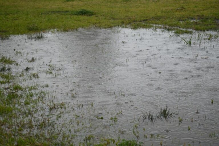 Cold and rain Eastern New South Wales – 29 July to 3 August 2025
2 Aug 2025 · Eastern NSW
Cold and rain Eastern New South Wales – 29 July to 3 August 2025
2 Aug 2025 · Eastern NSW
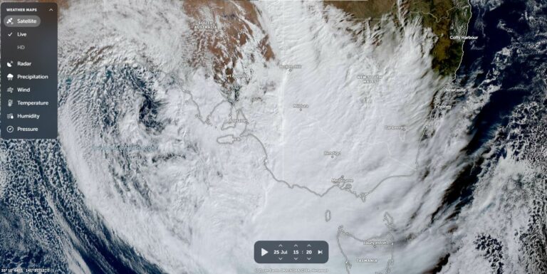 Significant cloud mass passes over Southern and Eastern Australia but produces limited rainfall – Saturday 26 July 2025
26 Jul 2025 · Eastern Australia
Significant cloud mass passes over Southern and Eastern Australia but produces limited rainfall – Saturday 26 July 2025
26 Jul 2025 · Eastern Australia
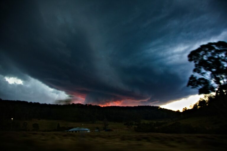 Putty Road Supercell Storm Chase July 6th 2025
12 Jul 2025 · Putty, NSW
Putty Road Supercell Storm Chase July 6th 2025
12 Jul 2025 · Putty, NSW
All storm reports from Newcastle, NSW →
Also on 29 October
 Hook echo on radar and this is the base.
29 Oct 2020 · Yamba, NSW
Hook echo on radar and this is the base.
29 Oct 2020 · Yamba, NSW
 Low bases dew points 26C tempertures 28C
29 Oct 2020 · Yamba, NSW
Low bases dew points 26C tempertures 28C
29 Oct 2020 · Yamba, NSW
 Inflow bands
29 Oct 2020 · Yamba, NSW
Inflow bands
29 Oct 2020 · Yamba, NSW
 Base of the storm with hook echo on radar.
29 Oct 2020 · Yamba, NSW
Base of the storm with hook echo on radar.
29 Oct 2020 · Yamba, NSW
 Base of supercell Yamba
29 Oct 2020 · Yamba, NSW
Base of supercell Yamba
29 Oct 2020 · Yamba, NSW
 Blast from the past – who remembers where and which Year this was one of a few p…
29 Oct 2020
Blast from the past – who remembers where and which Year this was one of a few p…
29 Oct 2020
 Some impressive lightning shots from the earlier years! Of all places Schofields…
29 Oct 2020 · Schofields, NSW
Some impressive lightning shots from the earlier years! Of all places Schofields…
29 Oct 2020 · Schofields, NSW
 Dodge City EF-3 Number Two
29 Oct 2020 · Dodge City, KS
Dodge City EF-3 Number Two
29 Oct 2020 · Dodge City, KS
 Fire, Rain and Lightning Last day chasing 2007 with Brad Hannon Beautiful lightn…
29 Oct 2020
Fire, Rain and Lightning Last day chasing 2007 with Brad Hannon Beautiful lightn…
29 Oct 2020
 Another from the past I think near Goondiwindi as well at sunset in January 2007…
29 Oct 2020 · Goondiwindi, QLD
Another from the past I think near Goondiwindi as well at sunset in January 2007…
29 Oct 2020 · Goondiwindi, QLD
5 comments
Add a comment
You must be logged in to post a comment.
Thunderstorms were concentrated in areas north of Sydney and across NE New South Wales and they were fast moving.
Between 1 pm and 1.30 pm, a cell began to approach Sydney from the NW but it passed to the north. I made an attempt to photograph it but unfortunately smoke haze from bush fires obscured its view and unfortunately I was unable to get any good view of it and no photos.
The GPATs lightning tracker recorded 54,282 lightning flashes and strikes between 8 pm Monday evening to 8 pm Tuesday evening across New South Wales with the bulk of that occurring across the NE quadrant of the state north of Sydney to the Queensland State Border.
Sporadic but high intensity rainfalls did occur from the bigger cells such as 62 mm at Bulahdelah and 68 mm at Crawford on the Lower North Coast. A concentration of falls between 19 mm and 45 mm occurred around Newcastle and the small town of Broke in the Hunter Valley had 42 mm. The Lower and Middle Hunter Valley and Central Coast received the better rainfalls.
In Sydney, only Avalon recorded anything of significance with 14 mm and 7.8 mm at Hornsby. Some of the storms and rainfall appears to have fallen in some of the bush fire affected areas but other areas missed out. Generally little or no rainfall fell across Western Sydney.
The wind change brought gales across Sydney and I had some trouble standing up in the wind when viewing the northern storm from the Auburn Council rooftop car park.
I am also aware of hail events at Tamworth and Port Macquarie and I did see a picture of hail at least to golf ball size from one of the storm events in the news bulletins.
Harley, do you have the lightning map of this event?
Jimmy
I have resized the plot to make it smaller. It shows the majority of lightning flashes and strikes across the NE third of New South Wales.
The storms during this event yielded a lot of wind particularly further north. The event itself was quite unusual in terms of the setup. A developing low progressing east brought did create an environment for destabilisation on the Mid North Coast and also North West Slopes and Plains and the Hunter Valley. This is where some form of surface based convection was able to tap into the moisture prior to the SE change progressing up the coast. The models picked this change well. The eastern Hunter Valley and southern Mid North Coast was quite chaotic at times with multiple storm events racing through. Tamworth also was hit bygone of a line of desecrate cells likely higher based storms developing in the cold air later. I am not sure if anyone was following this event moving offshore as the low could easily be seen in the radar loops!
The lightning map from Harley’s post.