 The fires are far from over. Tuesday saw cooler conditions across the most fire affected regions due to a cloud mass and even some rain. Unfortunately, today warm to very warm and windy conditions are set develop across the regions. The most ideal conditions based on the Haines Index (a measure of all the typical fire weather parameters) is maximised on the Hunter region
bushfires
bushfires
Fire Dangers Continue 23rd October 2013
More storms near Hunter
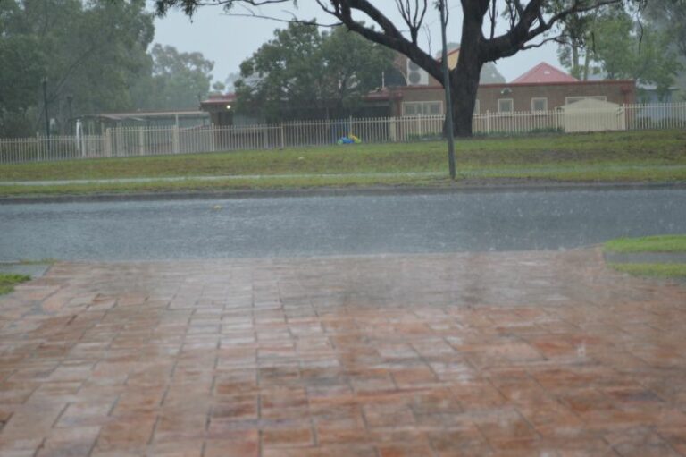 Two days of heavy rainfall New South Wales Central Coast to the South Coast – 17 and 18 January 2026
18 Jan 2026 · Central Coast, NSW
Two days of heavy rainfall New South Wales Central Coast to the South Coast – 17 and 18 January 2026
18 Jan 2026 · Central Coast, NSW
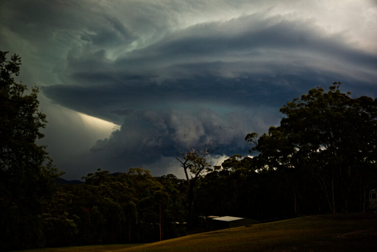 Spectacular Storm Colo Heights 13th December 2025
14 Dec 2025 · Colo Heights, NSW
Spectacular Storm Colo Heights 13th December 2025
14 Dec 2025 · Colo Heights, NSW
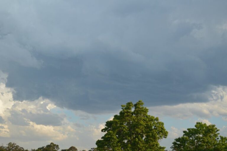 Hot day ends with afternoon storms and Storm Chase – Eastern New South Wales – Friday 17 October 2025
18 Oct 2025 · Colo Heights, NSW
Hot day ends with afternoon storms and Storm Chase – Eastern New South Wales – Friday 17 October 2025
18 Oct 2025 · Colo Heights, NSW
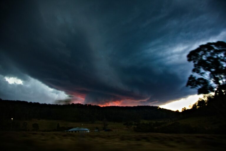 Putty Road Supercell Storm Chase July 6th 2025
12 Jul 2025 · Putty, NSW
Putty Road Supercell Storm Chase July 6th 2025
12 Jul 2025 · Putty, NSW
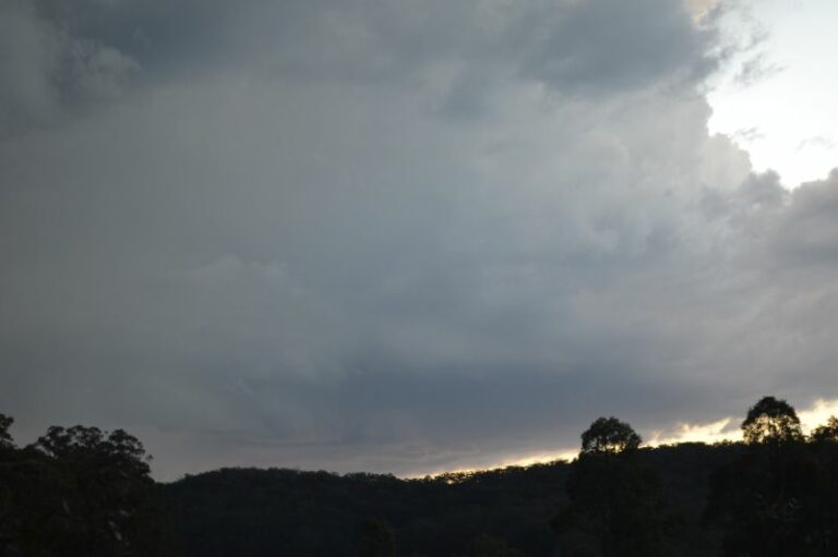 Afternoon storms and storm chase Penrith to Howes Valley on Putty Road – Sunday 6 July 2025
12 Jul 2025 · Putty, NSW
Afternoon storms and storm chase Penrith to Howes Valley on Putty Road – Sunday 6 July 2025
12 Jul 2025 · Putty, NSW
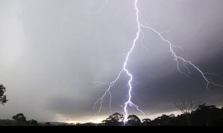 This was a decent event Putty Road special – someone shit their pants – not sayi…
14 Mar 2023 · Putty, NSW
This was a decent event Putty Road special – someone shit their pants – not sayi…
14 Mar 2023 · Putty, NSW
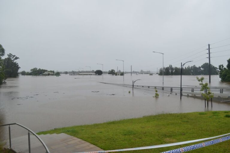 The summer of 2022 / 2023 and Windsor Bridge – One year after the devastating March floods
4 Mar 2023 · Windsor, NSW
The summer of 2022 / 2023 and Windsor Bridge – One year after the devastating March floods
4 Mar 2023 · Windsor, NSW
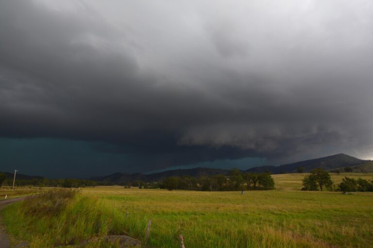 More Storm Action from 27th February 2023. Followed this storm from Putty all the way through to Dungog ater work. It experienced lowering bases and …
27 Feb 2023 · Dungog, NSW
More Storm Action from 27th February 2023. Followed this storm from Putty all the way through to Dungog ater work. It experienced lowering bases and …
27 Feb 2023 · Dungog, NSW
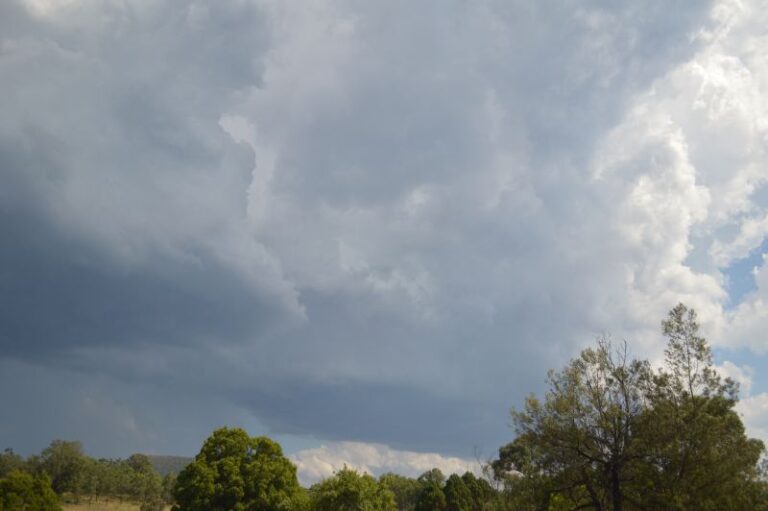 Storm chase and storms – Putty Road Saturday 28 January 2023
29 Jan 2023 · Putty, NSW
Storm chase and storms – Putty Road Saturday 28 January 2023
29 Jan 2023 · Putty, NSW
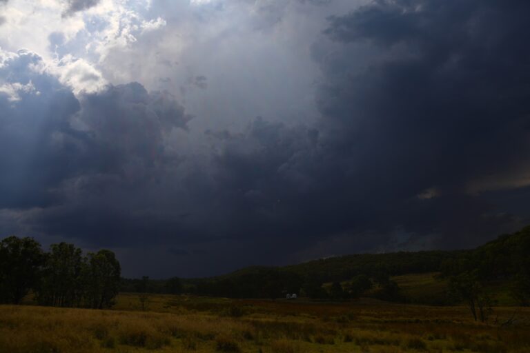 Storm chase today 28th January 2023 with Harley Pearman and got sun-burnt – so hot. First brief storm near Colo Heights weakened and off to near Putty…
28 Jan 2023 · Putty, NSW
Storm chase today 28th January 2023 with Harley Pearman and got sun-burnt – so hot. First brief storm near Colo Heights weakened and off to near Putty…
28 Jan 2023 · Putty, NSW
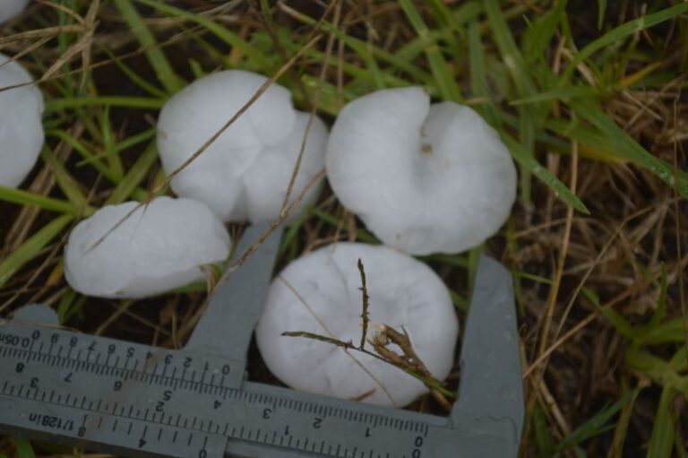 Storm chase, storms and hail events – Thursday 26 January 2023
27 Jan 2023 · Windsor, NSW
Storm chase, storms and hail events – Thursday 26 January 2023
27 Jan 2023 · Windsor, NSW
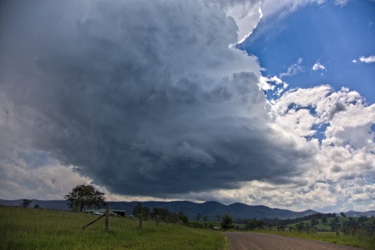 This was a great chase! The first cell rotating nearby!Got the first storm S of Gloucester from birth which quivkly became a supercell but took the …
15 Jan 2023 · Gloucester, NSW
This was a great chase! The first cell rotating nearby!Got the first storm S of Gloucester from birth which quivkly became a supercell but took the …
15 Jan 2023 · Gloucester, NSW
All storm reports from Hunter, NSW →
Also on 23 October
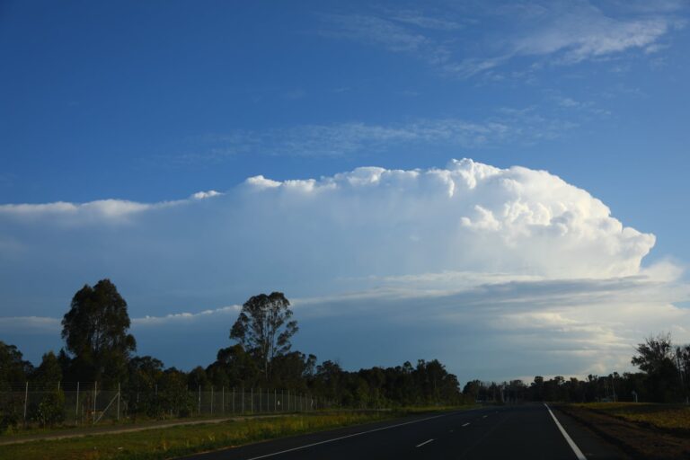 Had a few prior commitments before getting late onto this chase – it was motoring along. Thanks to Nick for the updates on radar and for telling me I …
23 Oct 2021 · Appin, NSW
Had a few prior commitments before getting late onto this chase – it was motoring along. Thanks to Nick for the updates on radar and for telling me I …
23 Oct 2021 · Appin, NSW
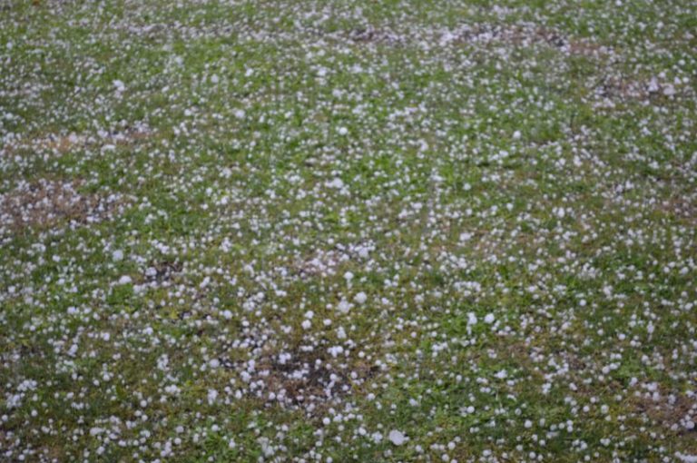 Severe storms and hail events – October 2021 – Eastern NSW and QLD
23 Oct 2021 · Eastern NSW & QLD hail (Coffs Harbour)
Severe storms and hail events – October 2021 – Eastern NSW and QLD
23 Oct 2021 · Eastern NSW & QLD hail (Coffs Harbour)
 Rumbling to my west with – I can hear the rain thundering down the road like a r…
23 Oct 2020
Rumbling to my west with – I can hear the rain thundering down the road like a r…
23 Oct 2020
 Boy we have side shear – look at those bases and rain shaft!
23 Oct 2020
Boy we have side shear – look at those bases and rain shaft!
23 Oct 2020
 Tornado Rips Building Into Pieces
23 Oct 2020
Ok so let’s see – once upon a time ESE and SSE meant change and cooling conditio…
23 Oct 2020
So another point crossed my mind last night – are ground temperatures also the h…
23 Oct 2020
Tornado Rips Building Into Pieces
23 Oct 2020
Ok so let’s see – once upon a time ESE and SSE meant change and cooling conditio…
23 Oct 2020
So another point crossed my mind last night – are ground temperatures also the h…
23 Oct 2020
 Incredible Supercell Structure 7th February 2007
23 Oct 2020 · Lithgow, NSW
Western sydney forecast – Friday 44c, Saturday 45c, Sunday 44c , put water bowls…
23 Oct 2020 · Western Sydney, NSW
Incredible Supercell Structure 7th February 2007
23 Oct 2020 · Lithgow, NSW
Western sydney forecast – Friday 44c, Saturday 45c, Sunday 44c , put water bowls…
23 Oct 2020 · Western Sydney, NSW
 australiasevereweather.com
23 Oct 2020 · Singleton, NSW
australiasevereweather.com
23 Oct 2020 · Singleton, NSW
2 comments
Add a comment
You must be logged in to post a comment.
Models indicate that there could be widespread light to moderate rainfall across northern NSW and southern Queensland developing perhaps on Tuesday.
Yesterday and overnight thunderstorms across NSW generated some 26,155 lightning strikes / flashes including 285 flashes and strikes across the Sydney basin according to the GPATS data 22/10/13 to 23/10/13. Most of these were in Southern NSW, Central West NSW and the Blue Mountains including Sydney.
Storms appeared to have been fast moving so they did not produce much rainfall except in the Snowy Mts of the state. Its quite possible that new fires have been started but only time will tell.
The showers and storm cells only generated 2 mm to 7 mm of rain across the Blue Mountains which is best described as patchy. It is likely that large areas affected by the bushfire received little or no rain.
Most areas of Sydney received at least 3 mm to 6 mm from light showers and from an early morning storm cell.
The fire maps on the news sites appear to show a new fire within the Putty Road area not too far from Colo or Colo Heights.
Temperatures today across Sydney reached into the low to mid 30s again (11th such day this month for Blacktown and the 17th such day this spring to date). Coupled with the NW winds again, any benefit from last night was quickly lost.
I noted today, the main smoke plume was further north than the last few days so much of Southern Sydney was bathed in clear sunshine.