As shown in the attached image of north east New South Wales and south east Queensland taken March 2 2022 from NASA Earth Observatory Images (MODIS) attached to NASA’s Aqua satellite, the extent of the flooding of early March is clearly visible.
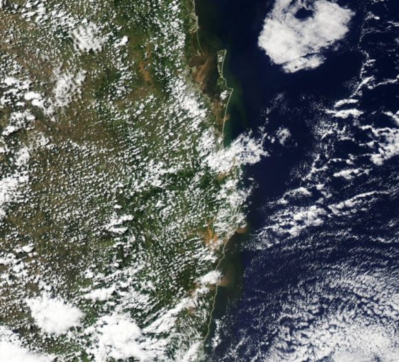
The towns of Yamba and Lismore and the cities of Brisbane and Gold Coast are clearly identifiable. The extent of flooding is showing up as brown muddy water courses across coastal regions with sediment plumes visible off the Australian coastline.
Major flooding is visible around Brisbane, the Tweed River Valley and around Lismore.
As at the 10 March 2022, the Insurance Council of Australia had received approximately 118,000 claims worth an estimated $1.77 Billion. This is still increasing as the cleanup continues.
While the flood waters have since subsided, the current cleanup is now being hampered with even more rain falling on saturated river catchments across eastern and north eastern areas of New South Wales and south east Queensland.
While renewed major flooding has not occurred, the threat of increased flooding is of concern.
Forecasts are being made for cumulative rainfall totals of 100 mm to 200 mm across saturated areas of eastern and north eastern areas of New South Wales and south east Queensland over coming days.
To date, there have already been significant rainfall totals that have resulted in isolated flooding events. For the 24 hours to 9 am Friday morning 25 March 2022, the heaviest totals were:
Tweed River region
Rock Valley – 95 mm.
Bentley – 63 mm.
A small area west of Tweed Heads received between 50 mm and 72 mm for the 24 hour period.
North Coast
Wauchope – 125 mm.
Karee Island – 101 mm.
Turners Flat – 81 mm.
Hunter Region
Seaham and Tocal – 58 mm.
During Friday, a thunderstorm event brought localized flash flooding around Taren Point in Sydney’s south and for the 24 hours to 9 am Saturday morning, the heaviest rainfall totals were:
Sydney
Audley Weir – 99 mm.
Lucas Heights – 68 mm.
Generally, the heaviest falls were across the south of the city in areas affected by the Friday thunderstorm / heavy rain event.
Mid North Coast
Wauchope – 179 mm.
Karee – 137 mm.
Mundys Lane – 104 mm.
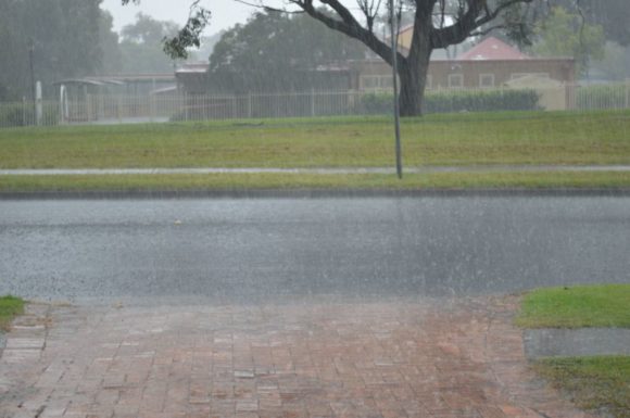
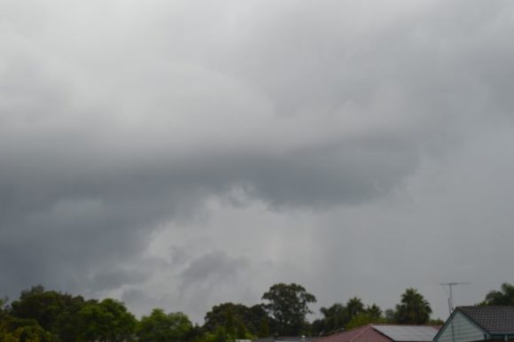
There have been other separate thunderstorm events such as the late Wednesday afternoon event that brought significant hail to an area near Singleton (Hunter Valley).
Saturday afternoon, heavy rain showers have impacted large areas of Sydney.
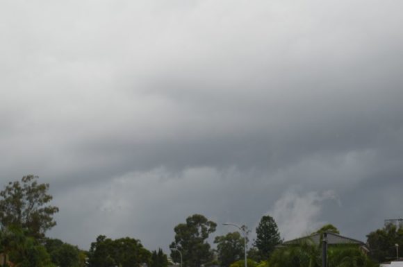
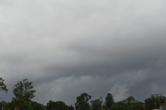
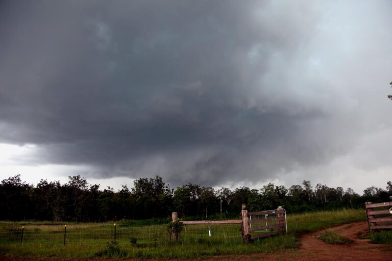
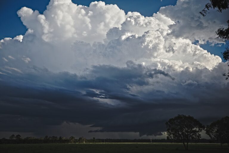
While a unform cloud layer is evident, any breaks within the cloud layers are revealing evidence of convection and even cumulonimbus clouds have been sighted at times. As such, there are hidden but weak thunderstorms within the clouds and a rumble of thunder has been heard.
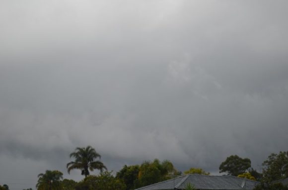
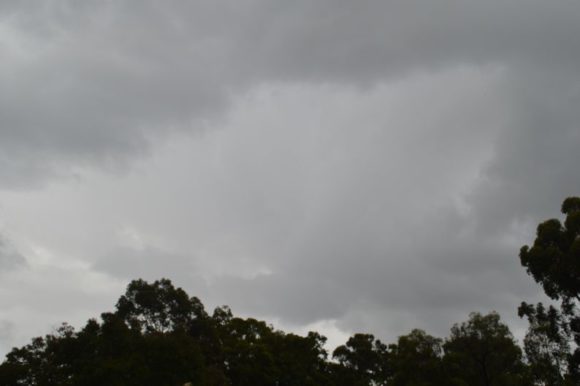
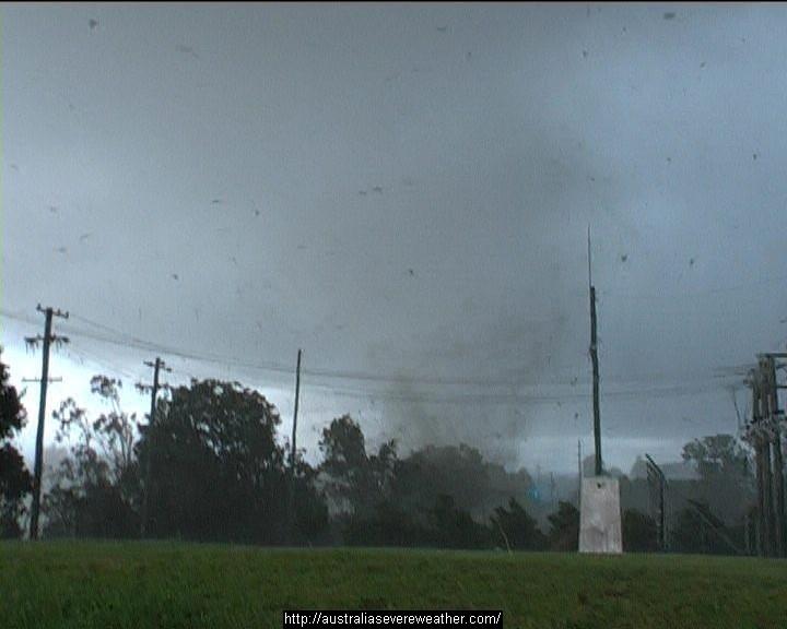
The attached photos are showing interesting cloud formations at times with evidence of heavy rain showers.
Rainfall totals have been accumulating rapidly during Saturday afternoon such as 23 mm at Rosnay Golf Course (Auburn), 24 mm at North Parramatta, 26 mm at Toongabbie (Western Sydney) and 28 mm at North Ryde (North west Sydney) and Seven Hills (All figures to 4 pm Saturday).
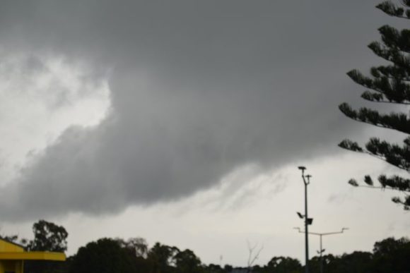
The heavier totals have been slightly inland from the coast and further west to Blacktown.
It is this type of rainfall that is of concern. Thus, while a repeat of the events of early March are not expected, the threat of more localized flooding from heavy rain showers does exist over coming days.
All photos were taken using the Nikon D3200 DSLR 18 – 55 mm lens.