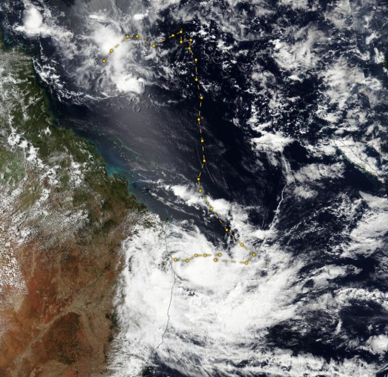
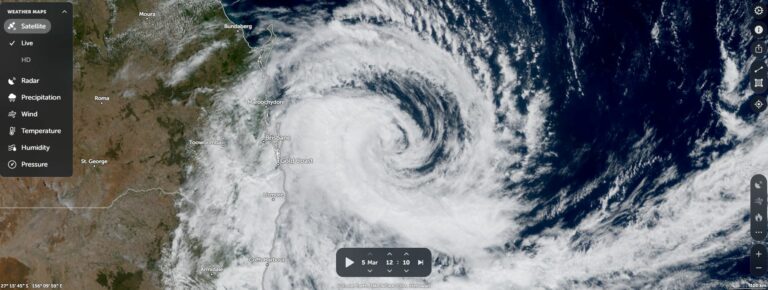
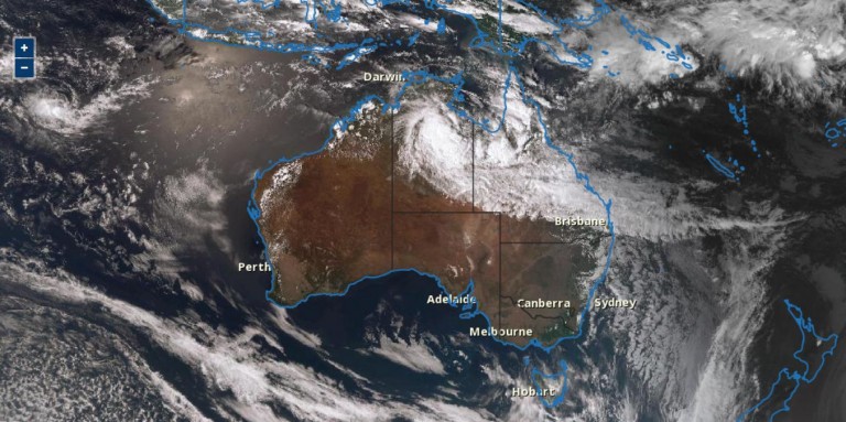
Major thunderstorm activity across Queensland, New South Wales, Australian Capital Territory and parts of Victoria during the period have caused significant property damage, flooding, hail damage and at least 7 known fatalities.
The worst affected regions are:
Queensland
- South East Queensland including Brisbane and Gold Coast.
New South Wales
- North East region as well as the area around Lake Bathurst / Tarago, Yass and the South Coast.
- Parts of Sydney.
Victoria
- Northern areas including Shepparton City, Echuca and Rutherglen.
Australian Capital Territory
- Canberra and nearby regions.
There are too many individual events to list all of these. Certainly, extensive clean ups are underway and insurance losses will be high. In addition, several supercell thunderstorm events have been documented and there have been a high number of hail events as well.
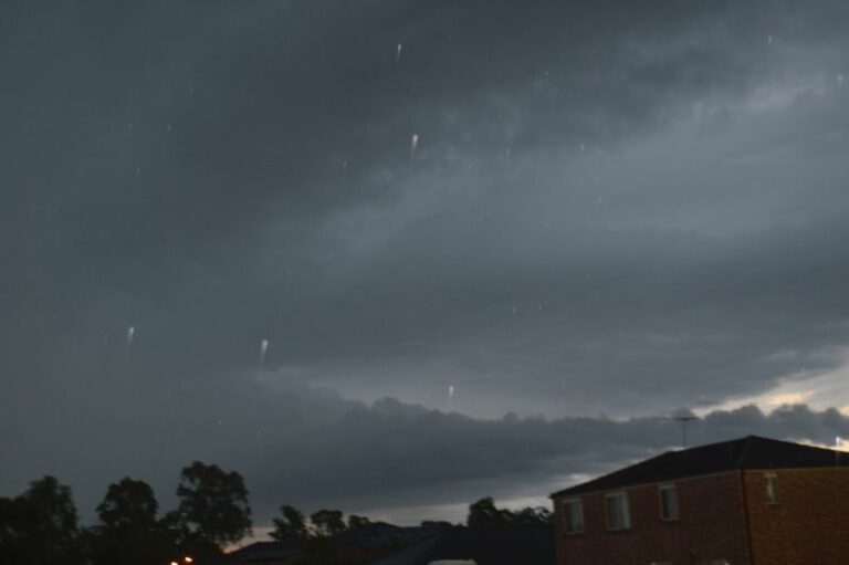
One such event involved a storm chase that my wife and I undertook during the afternoon of December 26 where we documented a thunderstorm producing hail of up to 2 cm in size near Middle Dural (North of Sydney or Castle Hill on the Old Northern Road).


Some of the more remarkable extreme events are listed below:
Queensland
- Mackay A thunderstorm brought wind gusts to 98 km at Mackay (City) and 93 km/h at the airport on December 25.
- Southport (Christmas Day evening December 25) – Peak wind gusts to 106 km/h between 9.11 pm and 9.20 pm causing significant damage. This storm even toppled a crane and brought down concrete electricity poles.
- Gympie – A wind gust from a thunderstorm topped 100 km/h on December 26.
New South Wales
- Sydney’s east being the Airport and Little Bay area – A thunderstorm dropped 73.8 mm of rainfall causing local flash flooding and flight delays Christmas Eve. This caused extensive chaos within the affected area. A total of 105 mm fell at Little Bay and the final rainfall tally for the airport was 91.2 mm for the 24 hours to 9 am 25/12/2023.
- Orange (Central Tablelands) – Hail to the size of golf balls (4 cm) fell from a storm event Christmas Day.
- Grenfell (Central West New South Wales) – Hail drifts occurred on Christmas Day.
- Inverell (Northern Tablelands) – Wind gusts topped 104 km/h at 5.38 pm on December 25. The storm brought 7.4 mm of rainfall in 5 minutes between 5.33 pm and 5.38 pm. By 6 pm, winds had subsided to just 11 km/h. This was accompanied by an amazing drop in temperature from 31.2C at 5 pm to 16C at 5.38 pm, the time of the peak wind gusts.
- Yass (South West Slopes) – Hail event occurred.
- South Coast – A major storm event producing high rainfall occurred on the 26 December. The township of Eurobodalla received 107 mm in 2 hours.
- Maitland area and Rutherford (Hunter Valley) – A major thunderstorm likely to have been a supercell dropped hail to 4 to 5 cm on the 26.
- A separate thunderstorm dropped 50 mm of rain around Maroota in 1 hour.
- Early afternoon December 27, a thunderstorm passed over the Blacktown Area. The storm produced gale force wind gusts (Probable downburst) with hail of around 1 cm. This was accompanied with very heavy rainfall of at least 19 to 24 mm across the Blacktown area. I was unable to chase this event.
Unfortunately, the peak winds did not pass over any weather station and thus the readings from Horsley Park, Sydney Olympic Park and the Airport do not document the conditions experienced. The Sydney Airport weather station registered a peak wind gust of 65 km/h while the Penrith Weather Station recorded wind gusts to 52 and 61 km/h between 1.24 pm and 1.30 pm.


Shortly after this event, I was hearing emergency services attending to incidents and this morning, I was hearing chainsaws suggesting that fallen trees were being cleared from nearby properties. Certainly, this storm was enough to cause some damage.
Victoria
- Kerang (North West Victoria) – 94.2 mm of rain falling from storms during December 24/25. What makes this unique is that the town experiences a semi arid climate and such high rainfall is very rare for that locality.
- Shepparton City (Northern Victoria) – Peak wind gusts recorded to 94 km/h on Christmas Eve.
Australian Capital Territory and region
Storms impacted Canberra on the 25 and 26 December. In particular, a rain gauge at Lake Bathurst (South of Goulburn) received 41 mm in 1 hour on December 25.
Storm chase – December 26 2023
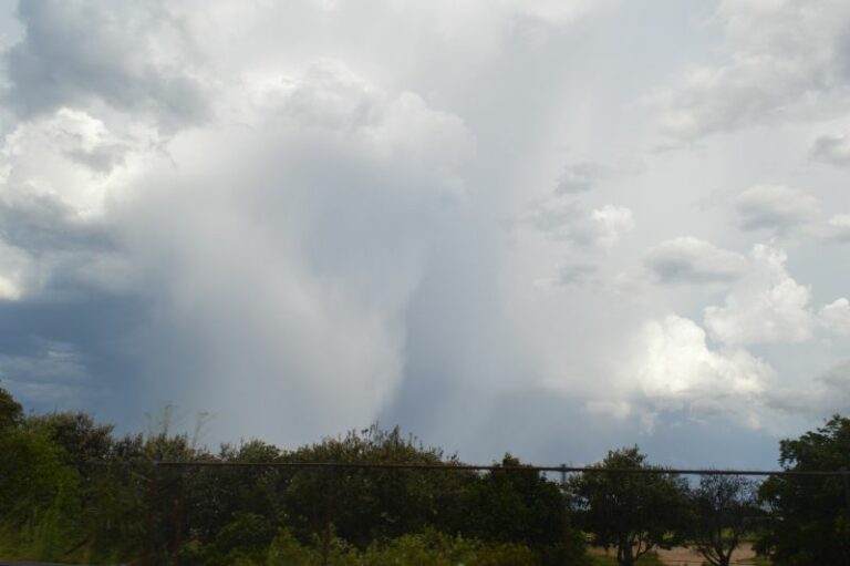
One particular storm cell was targeted Tuesday afternoon being a cell north of Castle Hill and within the vicinity of Maroota (North of Round Corner). My wife and I initiated a local storm chase north towards Maroota late Tuesday to intercept the storm. It was not the earlier cell but a newly developed cell that formed on the north west side of the storm cluster. We successfully intercepted the storm base that featured intense rainfall and found the main hail core.


This storm was producing hail of up to 2 cm in size.
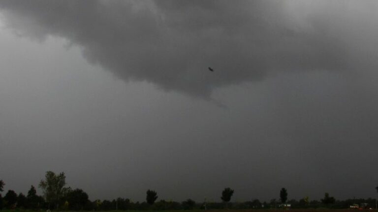
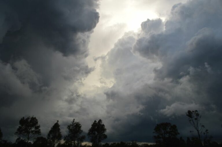
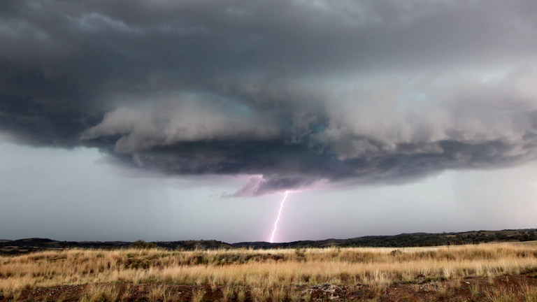
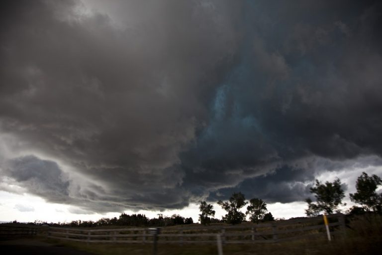
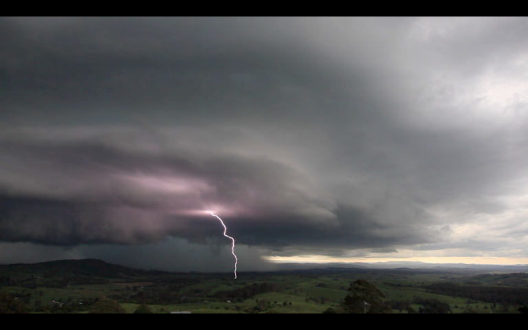
Following this, another thunderstorm moved south east off the ranges to the west that had LP shaped like structure. I made a call to chase this cell from near Maroota heading south west and was able to close in on it. The storm eventually fell apart and weakened but I was able to take numerous and detailed photos of its structure at peak intensity. This cell while small was a highlight due to its structure.

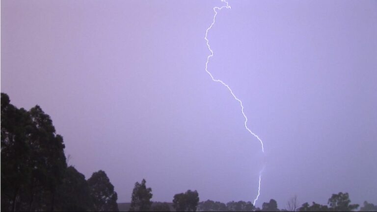
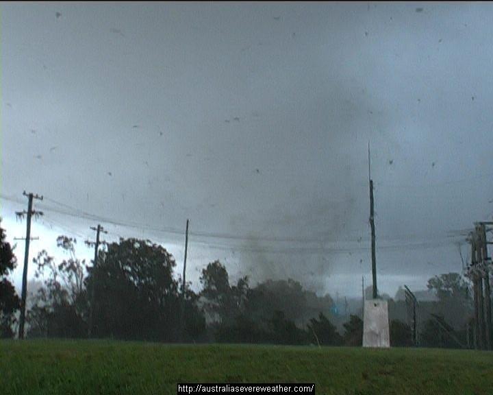
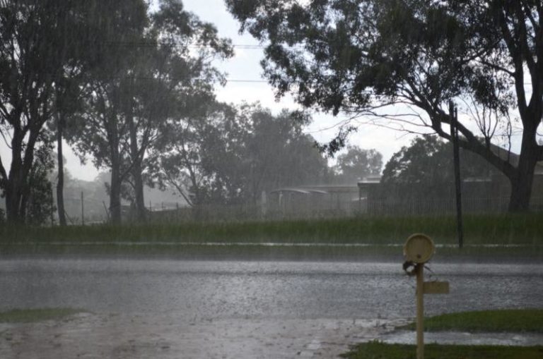
The photos attached to this post were taken during that storm chase.
The images do provide a sample of what was occurring across the wider region and beyond over the past 4 days.