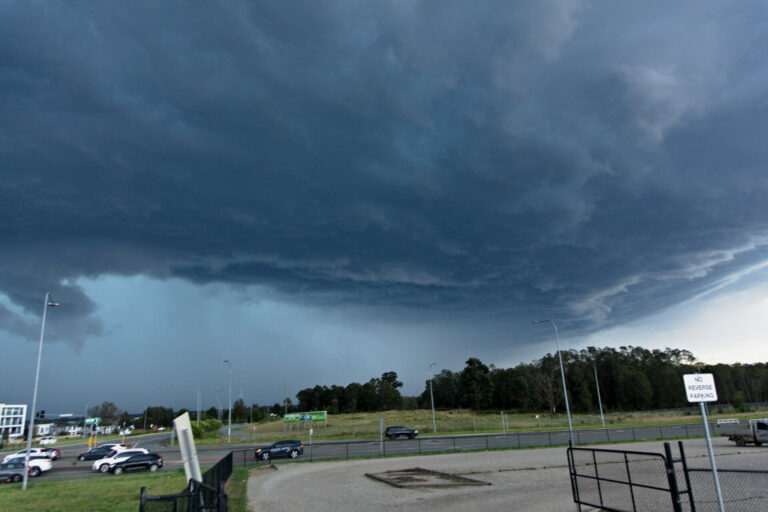
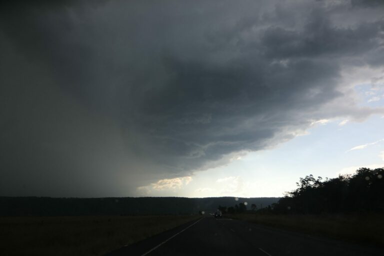
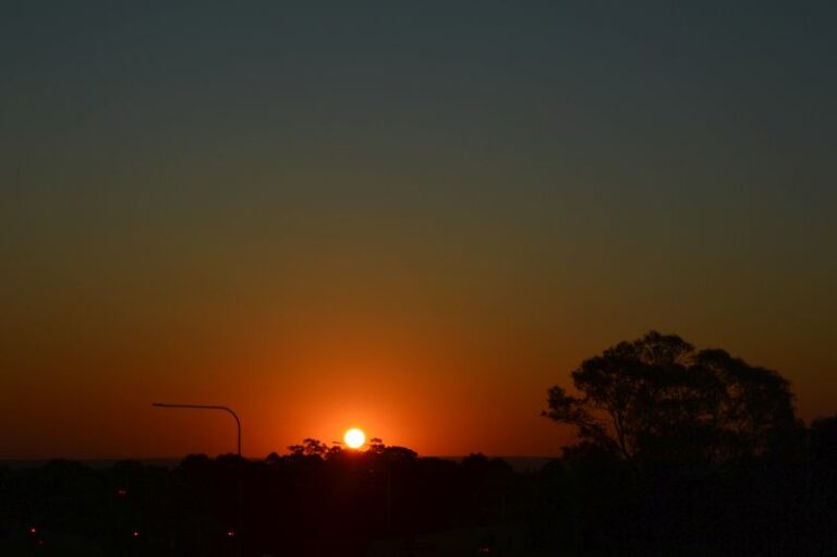
An upper trough passed through Sydney this evening with rapid moving elevated storms. Pity the storms were not able to root into the lower layer. Most of the lightning were flashes. A low pressure system is set to develop off the coast rapidly with cyclogenisis occurring. But this is expected to have little influence on the coastal regions as it moves rapidly away into the Tasman.
Regards,
Jimmy Deguara

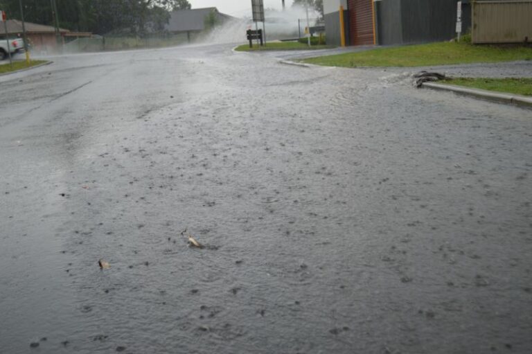
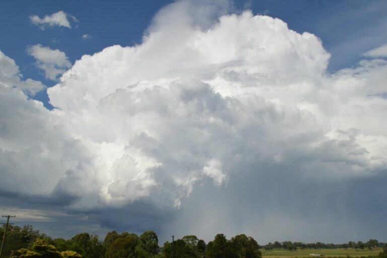
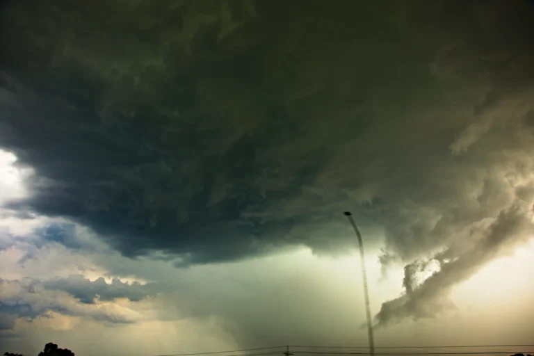

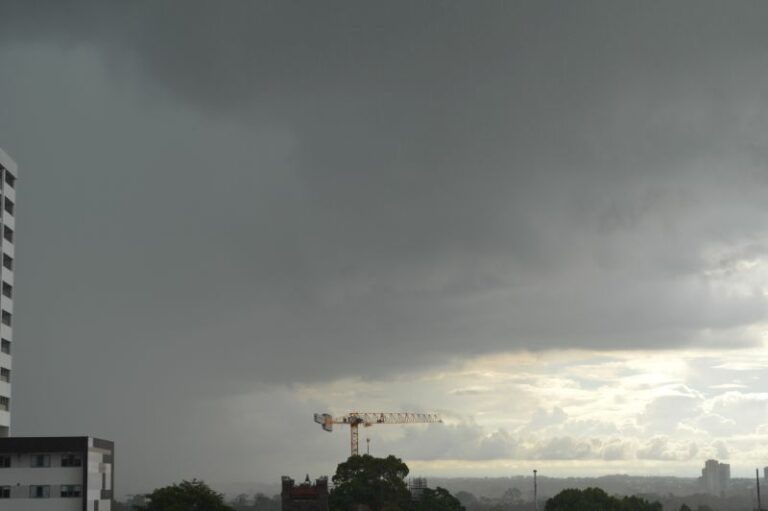
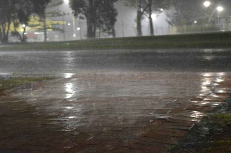
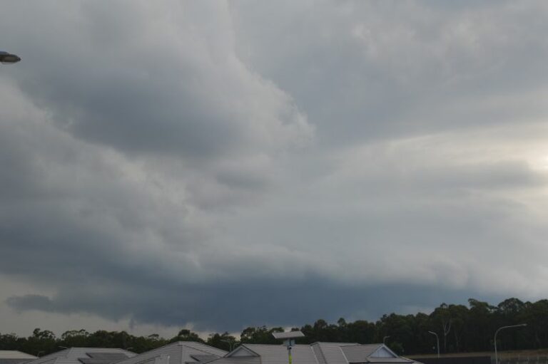
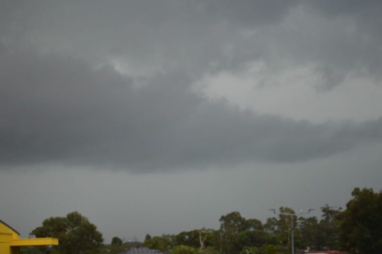


Anyone get any lightning? Seems to be flashes than anything else. Raining as I type from one of the fast moving cells 10:35pm. Upper trough axis will be off the coast soon based on the models.
Just flashes here in Penrith to, moving all so quick again like last weekend ,like I said jimmy ya would get a few speeding tickets trying to keep up with those fast moving systems. FORGET IT
The storm cells were very fast moving. There had been more rain around Kings Langely than at Scholfields and where I live. On the way home from your place, I saw no further lightning and it cleared over not long afterwards.
We had some pea size hail in a brief storm last night around ten.
Harley, interesting that more precipitation passed through Kings Langley than Schofields but probably consistent with a strong cell passing through.
Anyone get any lightning? Seems to be flashes than anything else. Raining as I type from one of the fast moving cells 10:35pm. Upper trough axis will be off the coast soon based on the models.
The storm cells were very fast moving. There had been more rain around Kings Langely than at Scholfields and where I live. On the way home from your place, I saw no further lightning and it cleared over not long afterwards.
We had some pea size hail in a brief storm last night around ten.
Harley, interesting that more precipitation passed through Kings Langley than Schofields but probably consistent with a strong cell passing through.