Currently there are multiple cell exploding through out SEQ and NE NSW.
Warnings have been issued and I have recieved an EWN.
The models are pointing towards a very interesting 3 day period for us with Saturday looking to be a very wet and stormy day. GFS run has Li’s of -5 to -7. with rain totals between 50 -75 mm.
See : 64km Radar Loop for Brisbane, 19:00 12/10/2011 to 05:00 13/10/2011 UTC
By: Colin Maitland

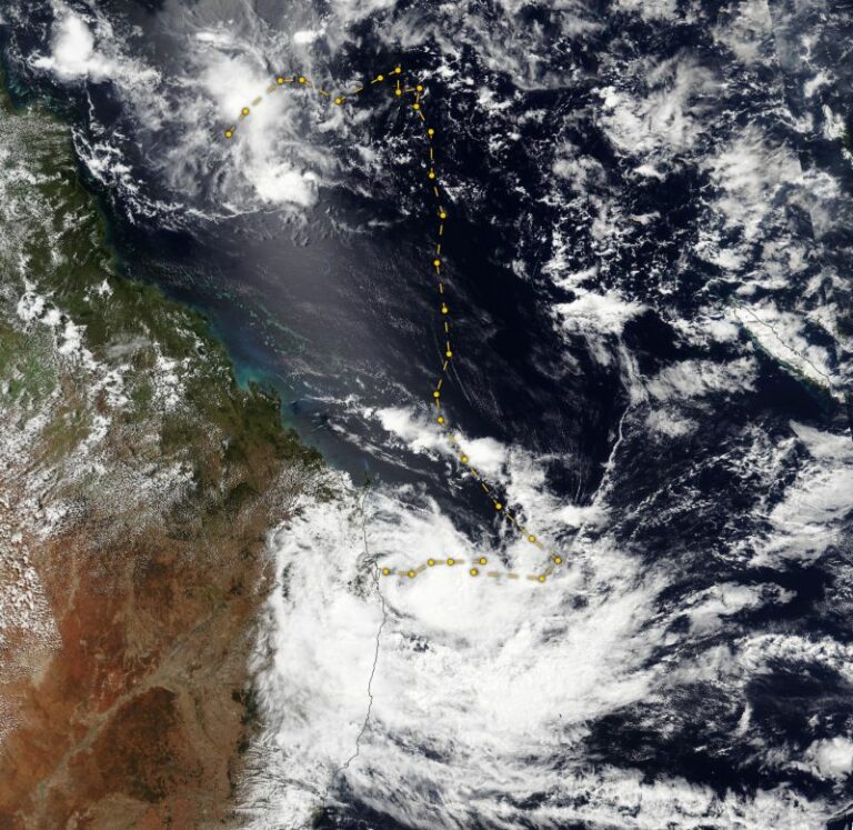
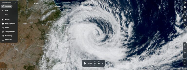



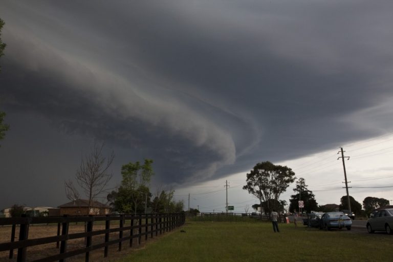

Yep continuation of the interesting weather in QLD. Many eyes on Saturday, but recent GFS runs are more questionable (for those of us who would need to drive from interstate).
The cell that formed to the North of Bracken Ridge around 3.30 pm EST and moved over the city seem to show some form of rotation. A 612 ABC radio interview with a BOM rep just reported that the Brisbane Airport had noted “water spouts over the bay. ( approx 5:00 pm EST)
One thing i did find interesting was When the afternoon stroms really fired up was there were 5 decent cells within the Gold Coast to Sunshine coast areas and they were all pretty much moving in different directions… I’m guessing this is to do with the feed from the moist offshore winds and general topography of brisbane?.
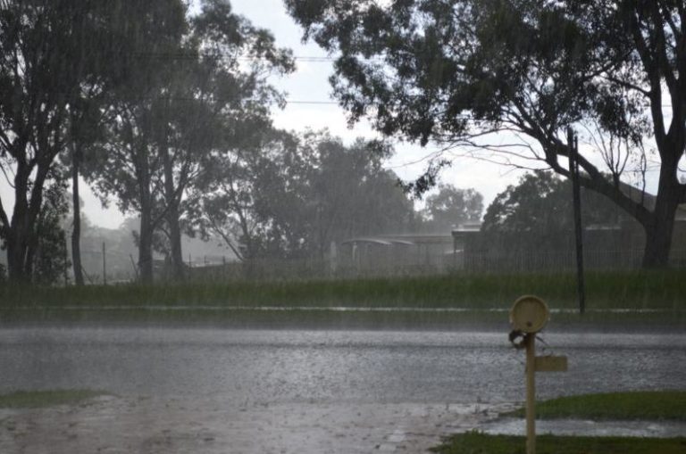
Being close to Cleveland in Brisbane i must say that the storms didn’t disappoint evan though the major intense cell heading our way lost intensity over Mount Cotton.
The roads were a mess though in the area and I Think tommorrow will be very interesting.
Cheers
Dylan
Here is the full sequence of radar for the event around Brisbane today
64km Radar Loop for Brisbane, 12:00 12/10/2011 to 12:00 13/10/2011 UTC
Got a nice frontal storm this afternoon in thornlands brisbane with 1 to 2 cm hail here. Did note the lack of lightning did anyone else in bris notice this??. I’m sure north brisbane copped it quite bad this arvo and i look foward to hopefully seeing some pics…. pics later
Cheers
Dylan
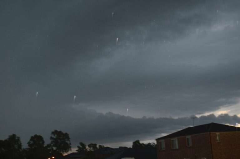
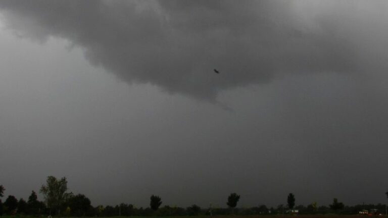
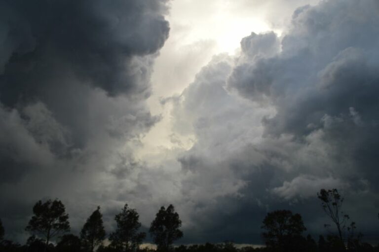
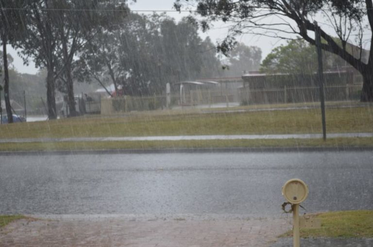
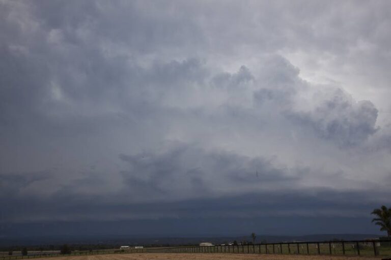
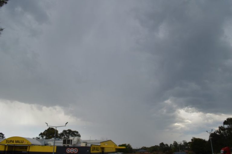
Just a few shots of today’s supercell.
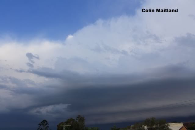
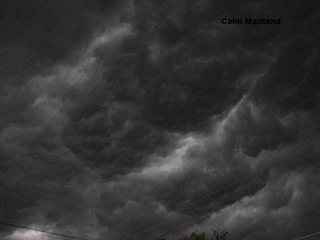
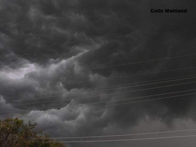
Here are a couple from Canungra.
http://www.youtube.com/embed/rPUh1NCu1IY
http://www.youtube.com/embed/gNlw8q05bvw
Hi,
I will post a more detailed report later given David C and I returned from 2500km of chasing. We chased the Brisbane event and intercepted a couple of cells. Here is a sneak preview:
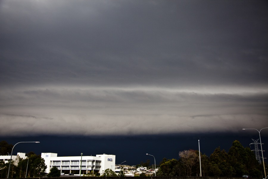
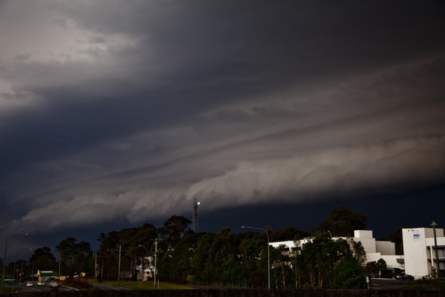
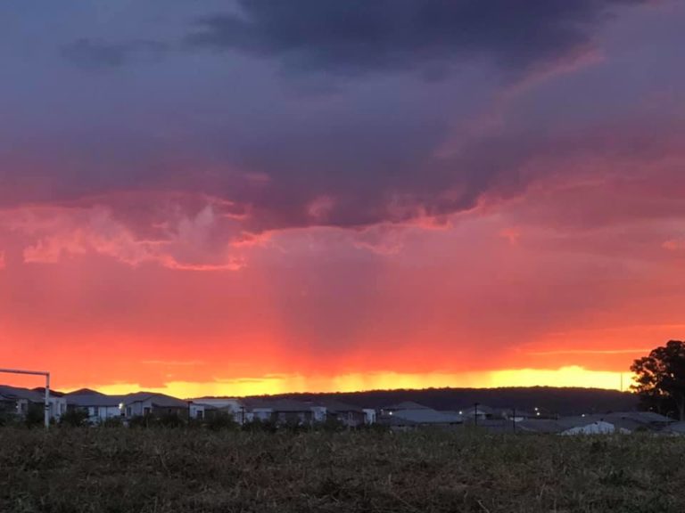
These are a few photos of the second cell on Saturday afternoon that formed to the north of Bracken Ridge and moved through approx 1/2 hour after the main system from the west had passed.
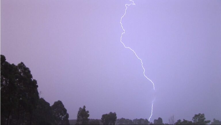
As darkness set in we were treated to an enjoyable light show.
Cheers
Col