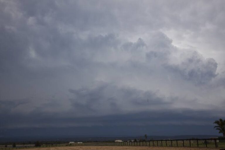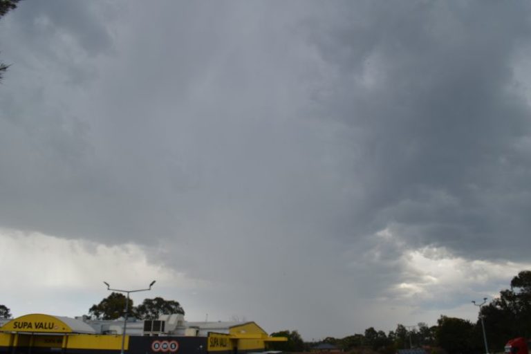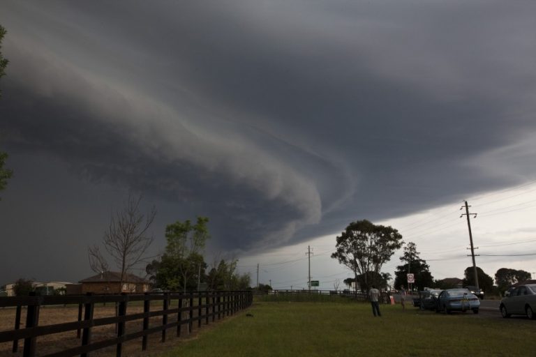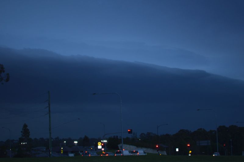
During Monday 12 October 2026, maximum daytime temperatures soared to around 34C and 35C across much of Sydney.

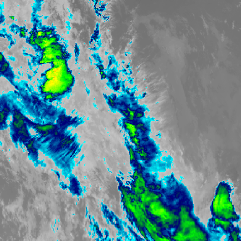
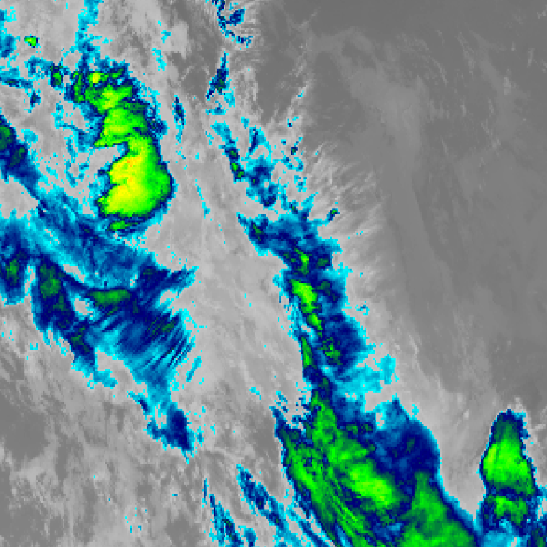
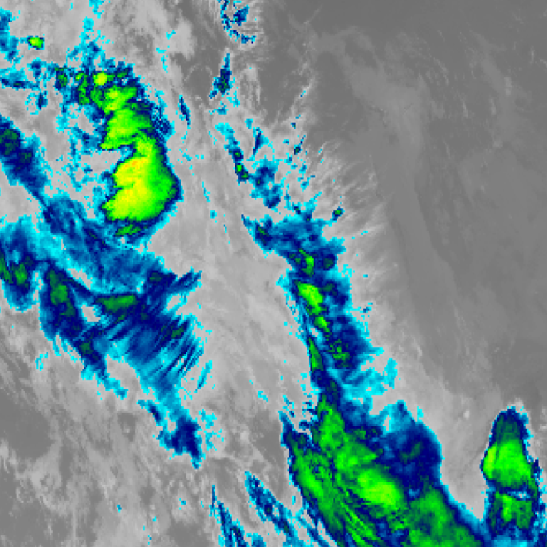
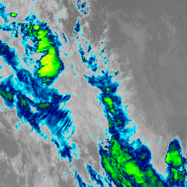
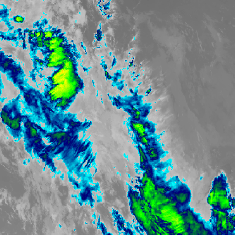
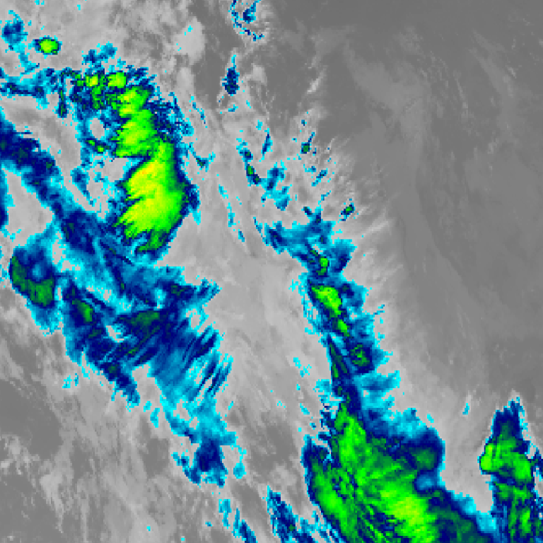
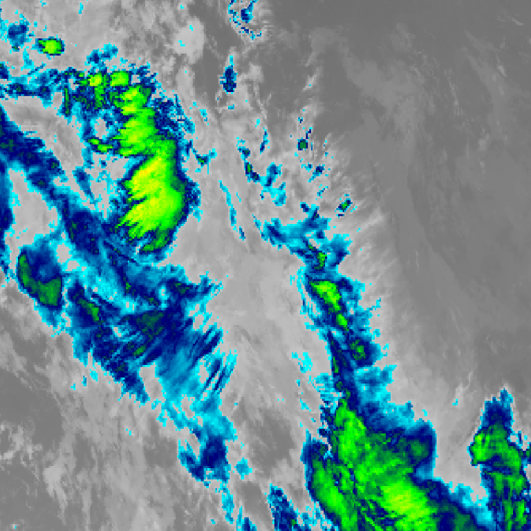
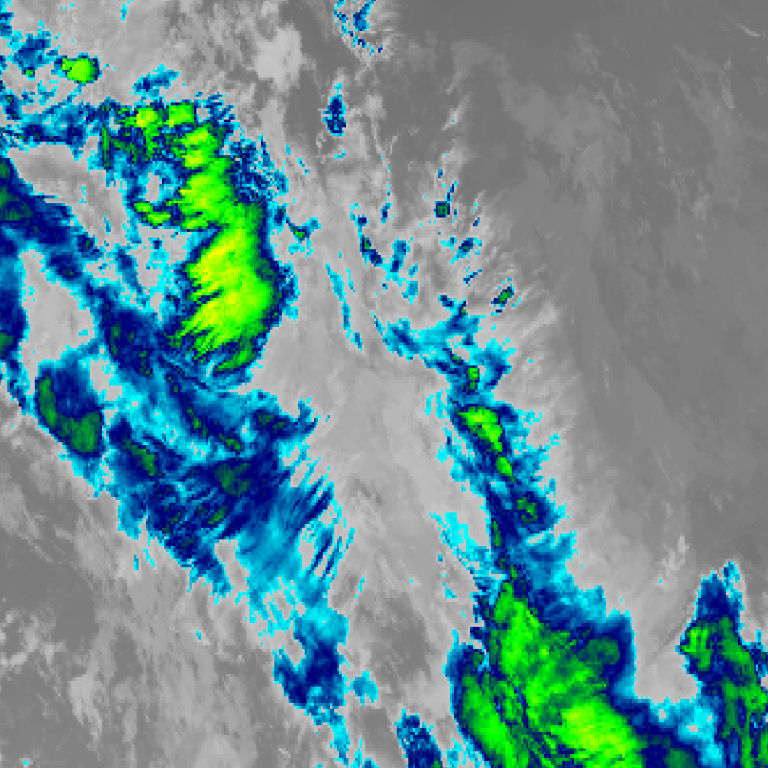
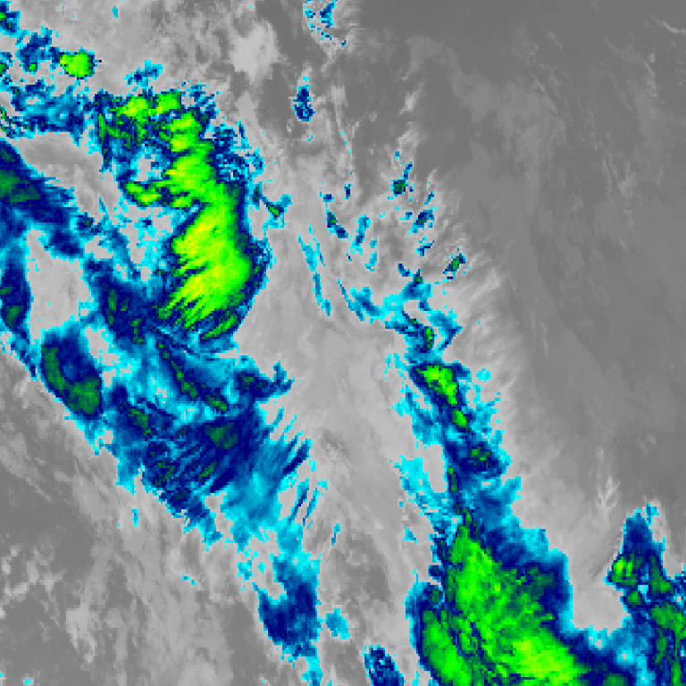
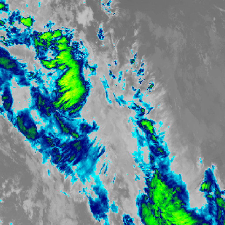
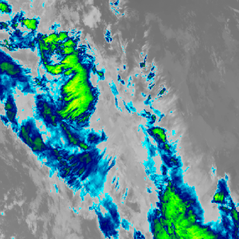

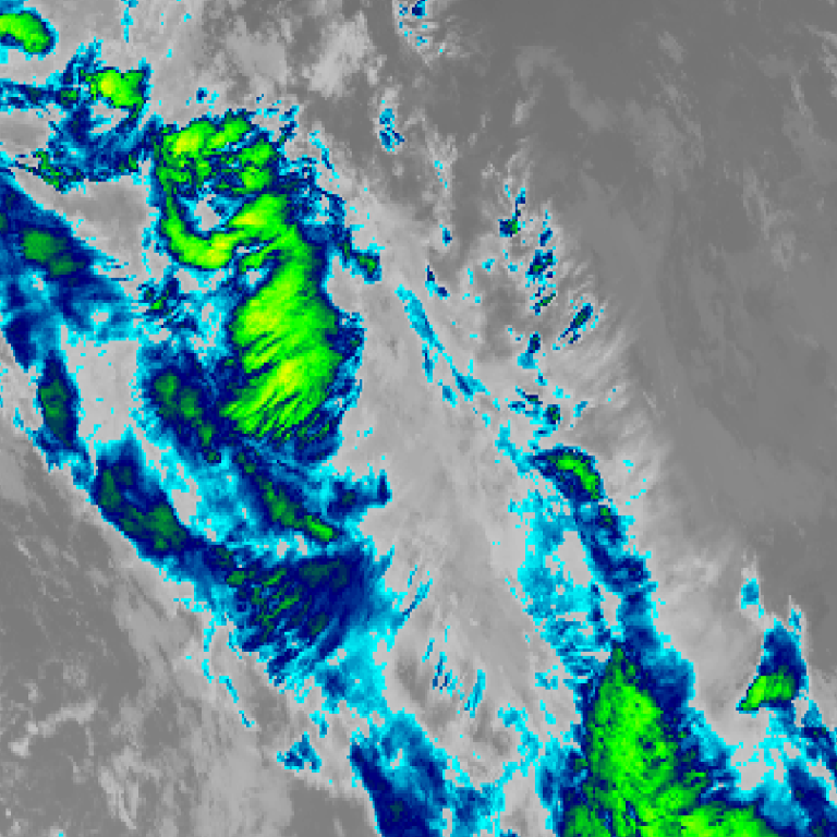
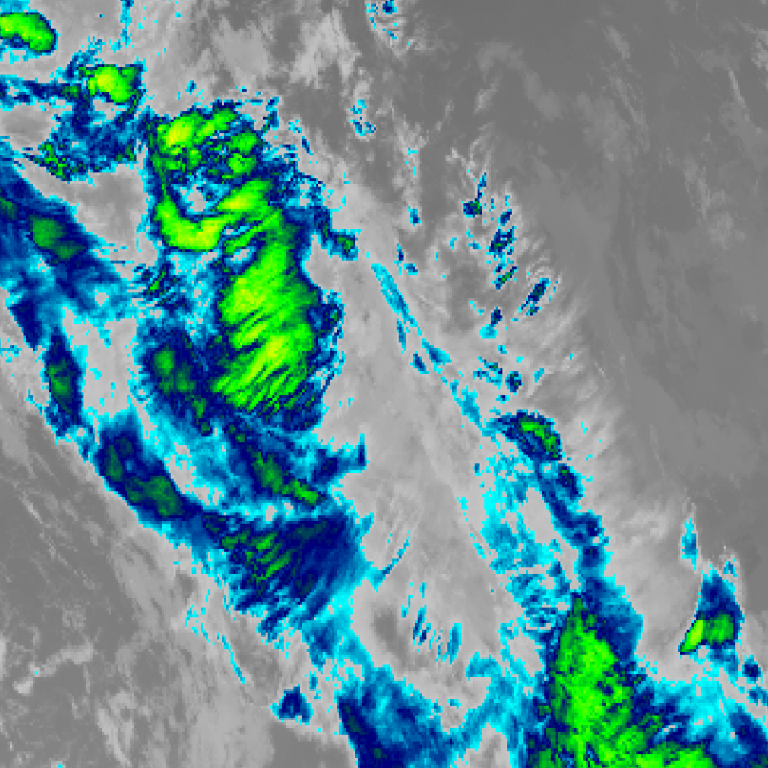
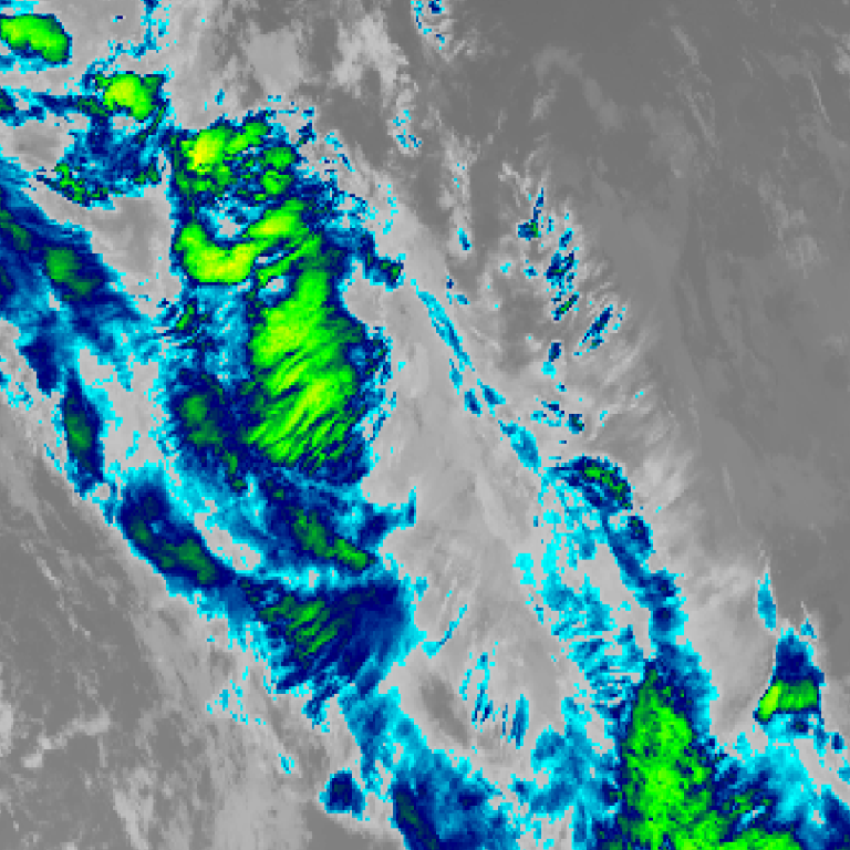
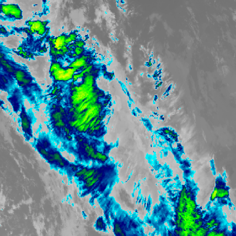
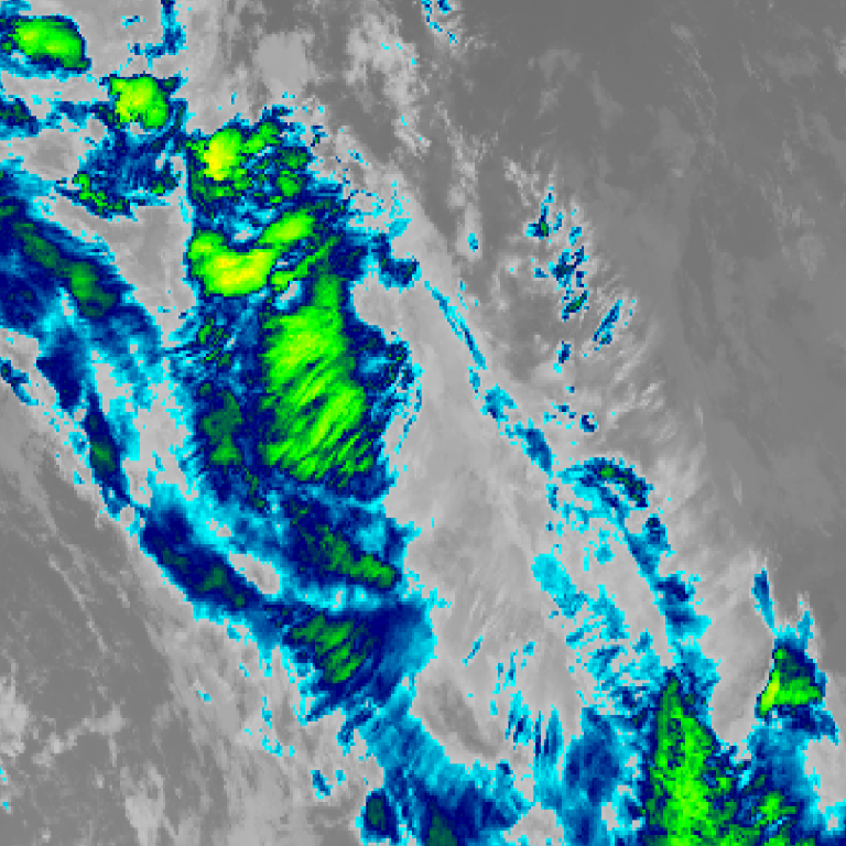
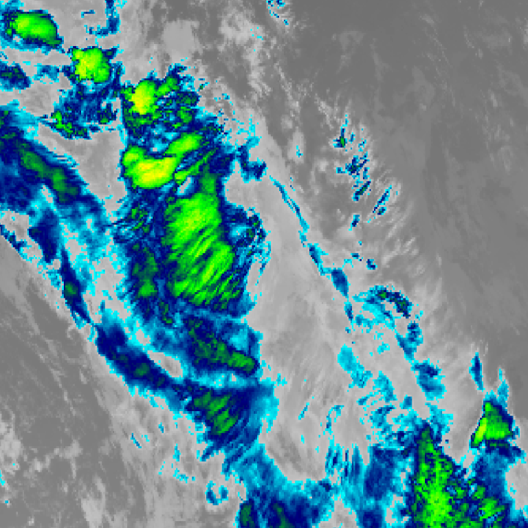
Himawari satellite loop (infrared) · 7:00pm AEDT – 10:00pm AEDT · Imagery: JMA Himawari via NASA GIBS
By Tuesday evening following another strong wind change, much of eastern areas of Sydney was drenched with rainfall totals topping 106 mm.
This was a sharp contrast of weather conditions over the course of less than two days.
Spring 2026 is certainly featuring strong contrasts of weather conditions with short periods of warm to hot weather punctuated by strong southerly changes. Often the changes bring rainfall with them.
The event of Tuesday night was no exception. After sunset, parts of Sydney received significant rainfall with as much as 106 mm falling at Chatswood (North Shore) and 99 mm falling at Marrickville (Inner west).
Other locations north from Wollongong, through Sydney and north to Gosford received falls of between 50 mm and 80 with some weather stations recording higher rainfall tallies.
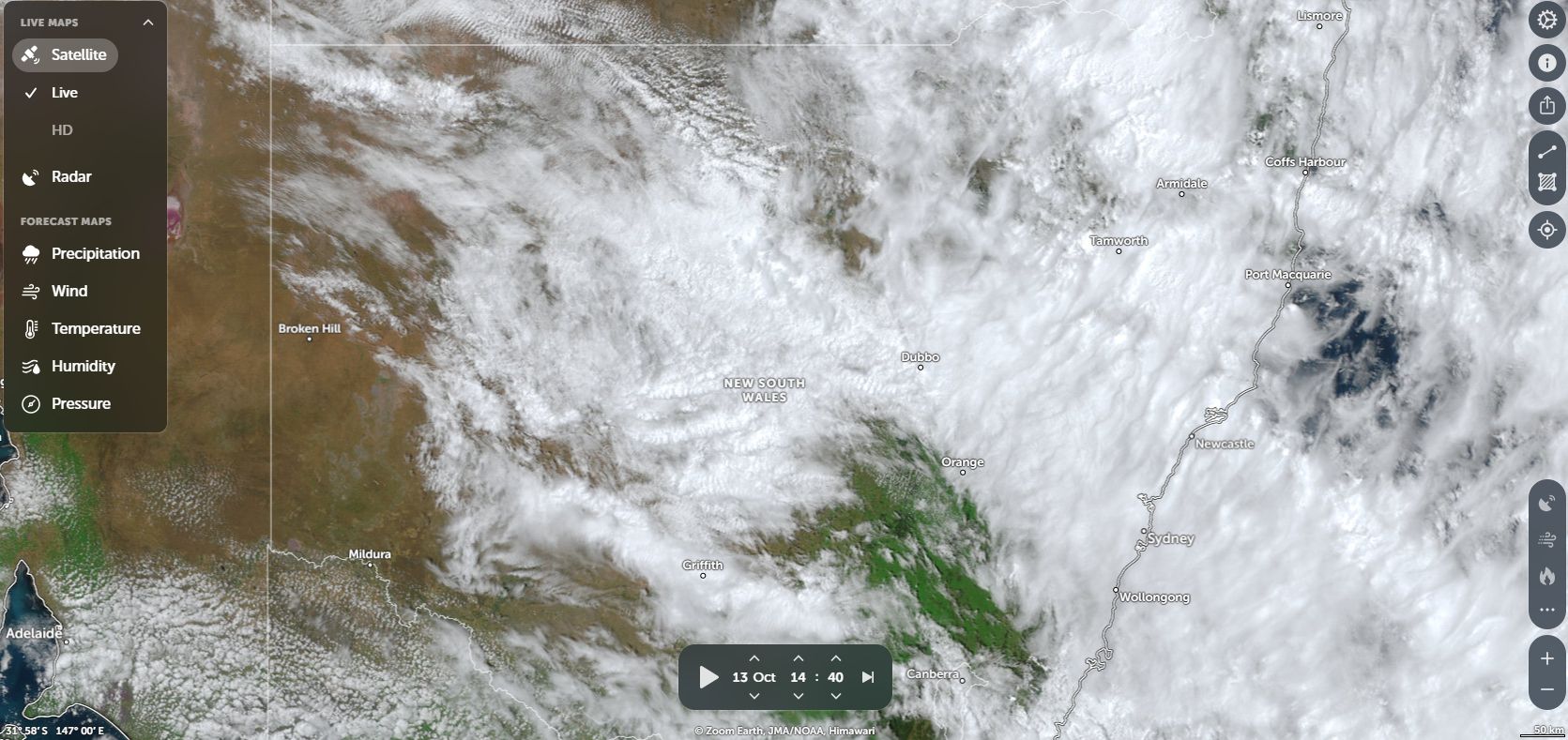
The official forecast models were suggesting only 5 to 20 mm however, the amount that fell across eastern Sydney was far in excess of the forecasts made. By 9 am Wednesday morning:
- The Sydney Observatory Hill weather station had recorded 83.4 mm (Much of that fell between 7.30 pm and 9.30 pm where 49.6 mm fell).
- Marrickville – 99 mm.
- Gordon – 96 mm.
- Gosford region – 38 mm to 82 mm.
There were instances of flooding across low lying areas.
The rainfall penetrated into Western Sydney but typical falls were lighter being 14 to 22 mm.
Given the warmer than normal ocean temperatures that is prevalent and unusual for an El Nino year, this event shows that unusual rain events are capable of occurring even during such years.