Following the recent landfall of Tropical Cyclone Kirrily, a significant amount of moisture from that storm has flowed across much of Queensland and over the past seven days, there have been multiple heavy rain events.
The events have been widespread across the state and only the far south west being that area affected by a long running heatwave has been spared by this event.
Almost every day, there have been downpours and daily 100 mm rainfall totals have been commonplace somewhere within the state.
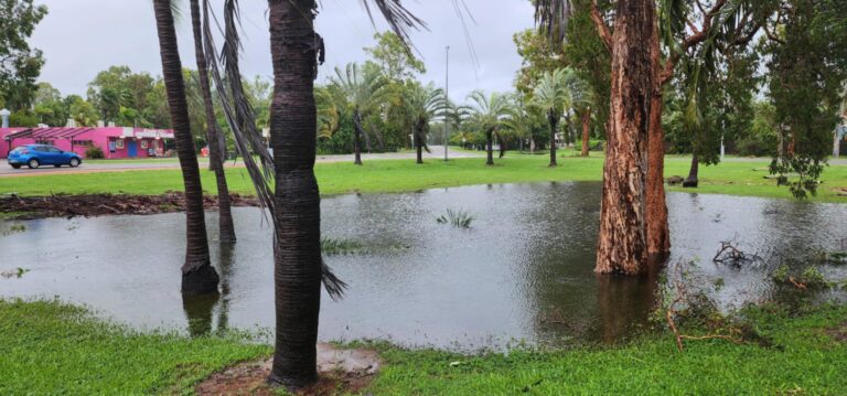
Flooding has affected both the inland and coastal areas and rivers. At the present time, there are numerous flood alerts in place including but not limited to:
- Major flooding affects the Diamantina River at Diamantine Lakes (Central Queensland).
- Major flooding affects the Moonie River at Warrie Crossing (Part of the upper Darling River system).
- Moderate to major flooding affects the Burke River at Boulia.
- Moderate flooding affects the Paroo River at Humeburn.
The number of rivers and creeks currently in flood are too numerous to name.
As this is being written late Saturday morning, a significant weather event has been unfolding within outback areas around and to the west of Mt Isa where further 100 mm daily totals have again occurred.
At the present time, there are some media reports suggesting that a third tropical cyclone could form in coming days. Currently the BSCH models are not identifying any current threat of a third tropical cyclone within Queensland Waters. However, it is expected that the current weather pattern will continue for several more days especially across the northern and western areas of the state.
It is also identified that some of the tropical moisture will spread further south into New South Wales (Monday to Wednesday) potentially delivering rainfall totals of 25 to 50 mm or more within a narrow band stretching from the far north west to the far south east of the state including Sydney. Should this event become more significant, then this too will be covered but as a separate post.
Excluding the south west interior and outback regions which has missed out on the entire event:
Rainfall South East Queensland Sunday 28 January – Highest totals to 9 am
- West Woodbine Alert – 161 mm.
- Main Camp Road Alert 164 mm.
- Greys Plan Road Alert – 176 mm.
- Thornton Alert – 184 mm.
- Thornton School – 193 mm.
- Mt Berryman Road Alert – 234 mm.
Even the Brisbane metropolitan area experienced general falls of 50 to 99 mm with a few exceptions including 115 mm at Carbrook (Riedel Road).
Rainfall South East Queensland Tuesday 30 January – Highest totals to 9 am
The whole of south east Queensland is impacted by rain but an area just to the north of Brisbane City was impacted by flooding rains where 100 and 200 mm daily totals occurred. Generally:
Brisbane
Areas south of the river received 10 to 25 mm but areas to the north received falls greater than 25 mm increasing sharply to over 300 mm as shown in the rainfall plot attached (Water and the Land – Brisbane City totals to 9 am). The highest totals were:

- Cedar Creek – 275 mm
- Drapers Crossing – 304 mm.
- Samford Alert – 351 mm
Rainfall South East Queensland Wednesday 31 January – Highest totals to 9 am
Much of eastern Queensland was wet but falls greater than 100 mm fell around Maroochydore. Highest totals include:
- Mountain Creek Alert – 127 mm.
- Coolum West Alert – 127 mm.
- Caloundra Airport – 169 mm.
Rainfall Saturday – Northern West Queensland Highest Totals to 9 am.
Significant totals have been recorded around Mt Isa and Camooweal and in particular, an isolated large storm cell has dropped falls exceeding 100 mm at isolated locations including:
- Norfolk Station – 142 mm.
- Herbert Vale – 155 mm.
- Westmoreland Station – 156 mm.
It appears that stations and localities west of Mt Isa received 50 to 99 mm including Century Mine – 65.8 mm.
The weekly cumulative totals for the state as shown in the attached map / plot from all the rain gauges provides a graphic account of what has been occurring.
Cumulative weekly totals have exceeded 100 at a majority of locations across south east Queensland with isolated totals reaching 400 mm including Samford Valley (North West of Brisbane City – 402 mm).


Across the entire state, a rain gauge at Westmoreland Station in far north west Queensland (West of Burketown) received 449 mm for the week ending Saturday 3 February 2024.
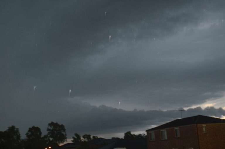
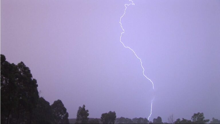
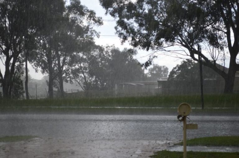
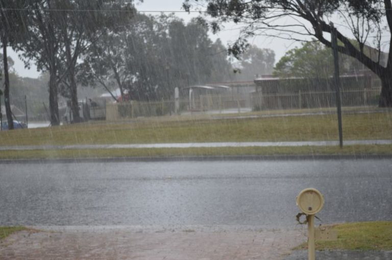
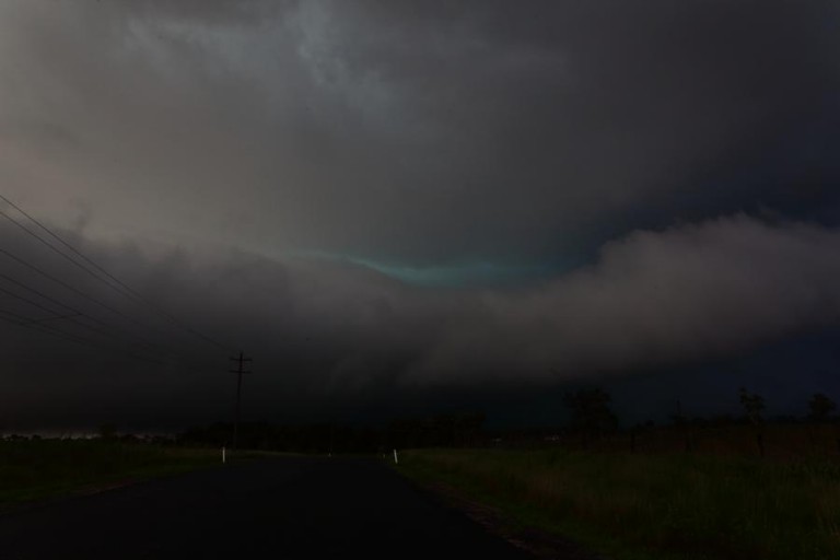
The feature image is taken from a recent storm chase south of Sydney but the image provides an idea of what has been occurring in terms of the storm / heavy rain events and associated flooding across affected areas of the state.