
Hailstorms
Hailstorms
Severe Storms SE Qld and NE NSW 18th November 2012
More storms near SE Queensland
 Heavy Rainfall impacts Southeast Queensland and Northeast New South Wales – 17 and 18 May 2026
23 May 2026 · Gold Coast / SE Queensland
Heavy Rainfall impacts Southeast Queensland and Northeast New South Wales – 17 and 18 May 2026
23 May 2026 · Gold Coast / SE Queensland
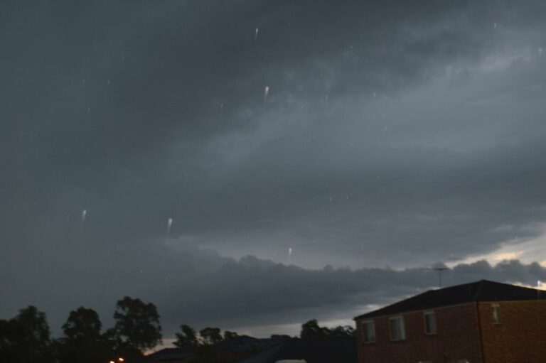 Brisbane’s 300 mm Sunday deluge – Now the cleanup begins – Sunday 9 March 2025
15 Mar 2025 · Bongaree, QLD
Brisbane’s 300 mm Sunday deluge – Now the cleanup begins – Sunday 9 March 2025
15 Mar 2025 · Bongaree, QLD
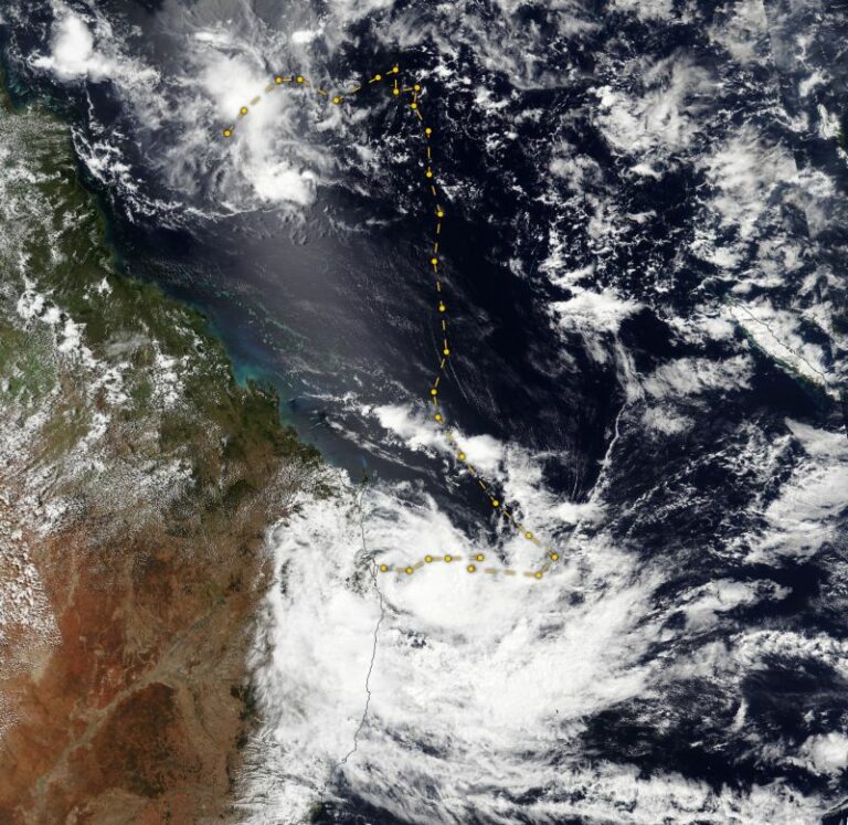 Ex Tropical Cyclone Alfred – The aftermath continues includes images Bellinger Valley NSW – Sunday 9 March 2025
9 Mar 2025 · Bongaree, QLD
Ex Tropical Cyclone Alfred – The aftermath continues includes images Bellinger Valley NSW – Sunday 9 March 2025
9 Mar 2025 · Bongaree, QLD
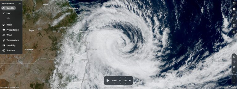 Tropical Cyclone Alfred – Makes landfall and nears its end SE Queensland and NE New South Wales – 8 March 2025
8 Mar 2025 · Bongaree, QLD
Tropical Cyclone Alfred – Makes landfall and nears its end SE Queensland and NE New South Wales – 8 March 2025
8 Mar 2025 · Bongaree, QLD
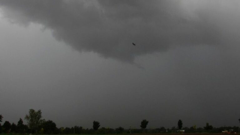 Former Tropical Cyclone Alfred – Possible east coast low and rain event QLD / NSW March 3 to 12 2025
2 Mar 2025 · Bongaree, QLD
Former Tropical Cyclone Alfred – Possible east coast low and rain event QLD / NSW March 3 to 12 2025
2 Mar 2025 · Bongaree, QLD
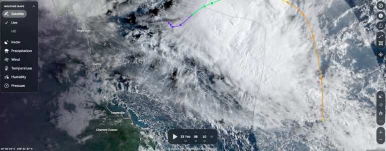 New tropical cyclone off Queensland Coast – Sunday 23 February 2025
23 Feb 2025 · Bongaree, QLD
New tropical cyclone off Queensland Coast – Sunday 23 February 2025
23 Feb 2025 · Bongaree, QLD
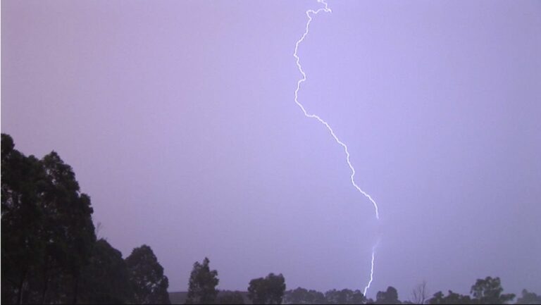 A week of thunderstorms – Eastern Australia between November 8 and November 17 2024
17 Nov 2024 · Eastern Australia
A week of thunderstorms – Eastern Australia between November 8 and November 17 2024
17 Nov 2024 · Eastern Australia
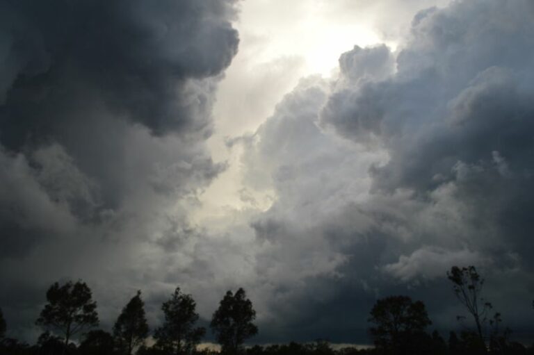 Queensland – A week of heavy rain / storms and floods from 28 January to 3 February 2024
3 Feb 2024 · Queensland
Queensland – A week of heavy rain / storms and floods from 28 January to 3 February 2024
3 Feb 2024 · Queensland
 Heavy rain, storms and flooding – North East New South Wales and South East Queensland – 1 – 2 January 2024
5 Jan 2024 · NE NSW / SE Queensland
Heavy rain, storms and flooding – North East New South Wales and South East Queensland – 1 – 2 January 2024
5 Jan 2024 · NE NSW / SE Queensland
 Major thunderstorm outbreak Eastern Australia – December 24 to December 27
28 Dec 2023 · Eastern Australia
Quick teaser from yesterday, after the structure shot. Taken about 2km outside of Beaudesert hand held through the window of the car…way too danger…
23 Dec 2023 · Beaudesert, QLD
Major thunderstorm outbreak Eastern Australia – December 24 to December 27
28 Dec 2023 · Eastern Australia
Quick teaser from yesterday, after the structure shot. Taken about 2km outside of Beaudesert hand held through the window of the car…way too danger…
23 Dec 2023 · Beaudesert, QLD
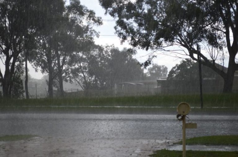 May 2022 – Another wet month for some regions – Queensland and New South Wales
5 Jun 2022 · Queensland
May 2022 – Another wet month for some regions – Queensland and New South Wales
5 Jun 2022 · Queensland
All storm reports from SE Queensland →
Also on 18 November
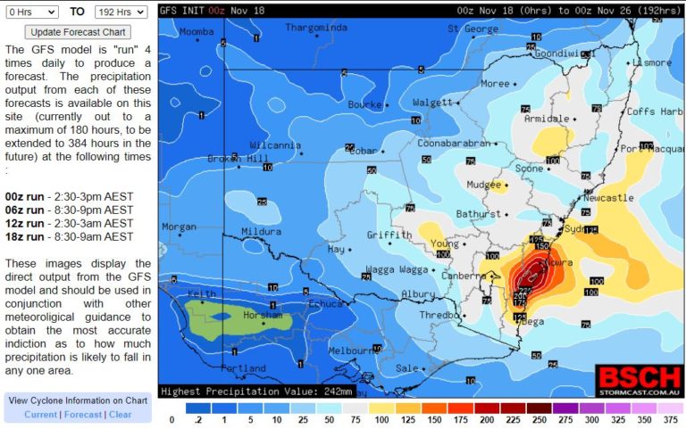 Another November Rainfall event for NSW – 19 to 22 November 2021
18 Nov 2021 · New South Wales
Another November Rainfall event for NSW – 19 to 22 November 2021
18 Nov 2021 · New South Wales
 Rain and Storms from 18th November 2013
18 Nov 2013 · Newcastle, NSW
Rain and Storms from 18th November 2013
18 Nov 2013 · Newcastle, NSW
 Storm chase and encounter November 16th 2013
18 Nov 2013 · Coraki, NSW
Storm chase and encounter November 16th 2013
18 Nov 2013 · Coraki, NSW
 Storms & Waterspout Tornado NSW South Coast 18 November 2012
18 Nov 2012 · Batehaven, NSW
Incredible lightning photos from Darwin, Austrailia — StormscapesDarwin.com
18 Nov 2007 · Darwin, NT
Storms & Waterspout Tornado NSW South Coast 18 November 2012
18 Nov 2012 · Batehaven, NSW
Incredible lightning photos from Darwin, Austrailia — StormscapesDarwin.com
18 Nov 2007 · Darwin, NT
28 comments
Add a comment
You must be logged in to post a comment.
There is a left moving cell approaching Gayndah right now and another right mover north that just split in the last 30-40 minutes. Looks like some interesting weather for that region. Not so sure if Brisbane will cop it again.
On another note storms are also firing on the south coast near the upper trough. I would think that there is a chance of severe storms if the atmosphere there is dynamic enough as there is not much cape.
Interesting new cell coming into Qld over the border ranges. Cheers from NSW ;-)!
velocity image for the same cell shows weak couplets in the NW quadrant
Incredible footage – thanks form posting Michael Bath. Your fears and predictions on the phone Jeff Brislane were spot on!
Given the rush to get back to Sydney and I guess the model’s forecast for storms to be over early, the split left and right mover that spun off the left moving monster was the only ones we could intercept. (18Z data though seemed to point towards perhaps a slightly later persistence in the lower level wind shear environment). I wished we did not have the constraint of getting back to Sydney as it was so easy for us to get down to Boonah for that particular storm. This was the target. In the end an improvement from the day prior but an additional insult haha.
Earlier in the day, we watched some earlier development but the lack of heating was apparent and they weakened. Suddenly whilst in a back road, we heard thunder. We realised that we were near the right mover split. We quickly took off and from here – we did not stop! We ventured in from of the right mover as it neared Ipswich. On the freeway, I had limited opportunities in photographing the whole structure so unfortunately, the photographs do not do the storms justice. The photograph below show the classic split in progress ie a split from a right moving split! The left mover and other pics follow.
Lesson learned I hope! We had no map and this contributed to the failures – I keep forgetting that Queensland is a larger state and so the scale differs.
Left mover from the split. I shot a barrage of pictures just to get one!
Earlier this was part of the weakening storms.
One thing I have overlooked was our driver for the trip Colin Bryant. He got to experience the demands and intensity of a chase and he did well! Let alone the marathon trip home arriving from Brisbane at 3:15am to allow me to get to work that morning! Well done and welcome to long distance storm chasing. I felt I let you down but there will be other opportunities.
Let me know the next time you guys are in Brisbane; feel free to bunk in at my place. :)
Hi every one, jimmy there was no let downs I had the best weekend ,look at all the fun we had, I can't wait till the next chase ,would love to drive for you again
Yes there were some funny moments. I guess we have to see when the next system will affect us.
some more pics from jimmy and colins chase
another
south of ipswitch
Got slammed by the right mover near Biggenden on Sunday. Had hail to around 4 cm at our location with a few branches coming down as well. Further up the road the hail was much larger; the largest hail stone being ~8.4 cm around an hour after it fell. The wind damge was impressive too with quite a few large trees down (including over the road).
Later we intercepted another storm out towards Preston. Quite a photogenic storm, after the storm passed us we found small hail drafts with hail to ~3 cm. Topped off the day with lightning around sunset.
we looked at this one for abit ,but went for the cell that split to the right of this one we were hungry for some big stuff
Large tree downed-
The storm in the distance-
a shot from north brisbane after the cell had split
Great intercept and pictures Michael Thomas and Colin Bryant.
Love the leaf litter!
Thomas do you have pictures of the structure please? Or were there too many trees?
Thomas do you have pictures of the structure please? Or were there too many trees? Love the picture of the hailstone!
Does anyone have pictures of the storm that passed to the north of Brisbane earlier in the day?
Hi Jimmy, we approached the storm from the east on a tree-lined road. I barely even saw the storm. We did catch a glimpse of the base which looked great, after that we were in heavy rain then large hail. Could of been quite dangerous had we been further down the road.
I do have photos of the left mover near Proston.
The storm near Proston-
Very photogenic Thomas! Well done.