
 Just got back from a surprisingly decent storm chase. Was meant to head off with Colin but he was delayed a little so I decided to head off with the intention of meeting up at some point. There were a few stops with me reluctant to continue onwards. But I decided to put in the hard yards and headed for Gloucester. Towers were already on top of the Northern Tablelands and towers to my west over the Barrington Tops were struggling but gradually consolidating.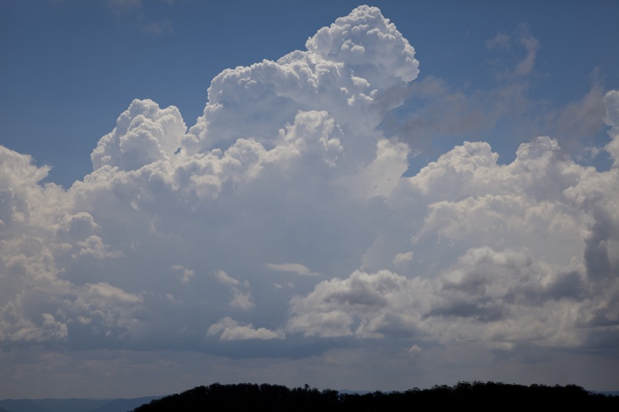
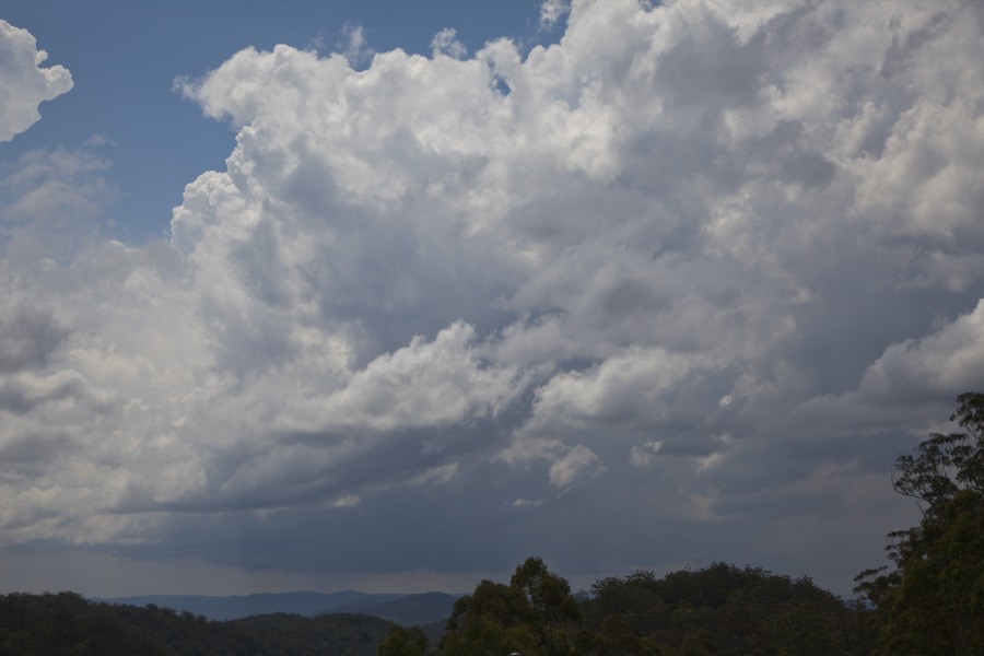

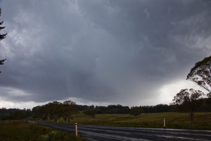
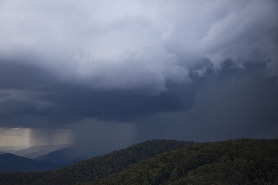
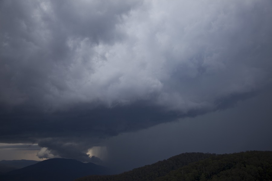
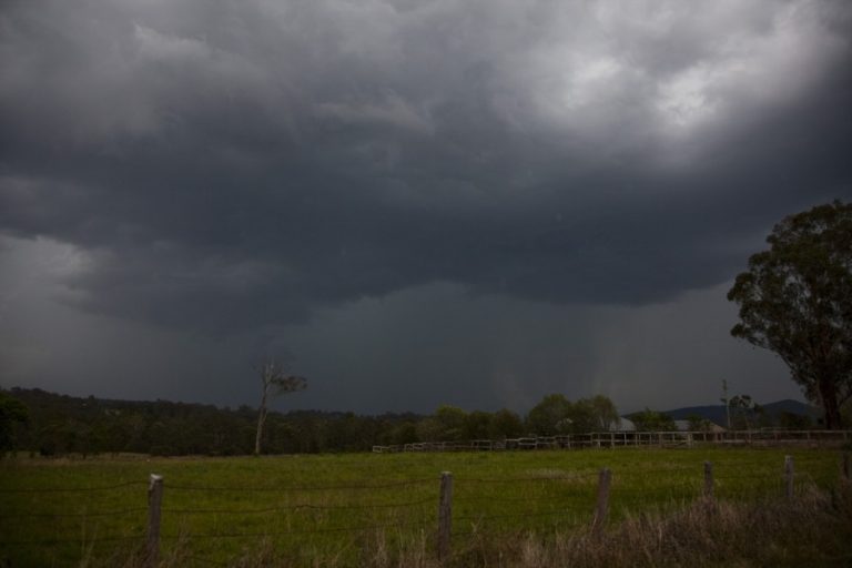
By the time I got to the top of the lookout S of Nowendoc, it was clear storms were towering to the northwest and west. The decent base did not waste time in producing precipitation. In Nowendoc, the cell to my west produced a rippled rain free base. It was this that took my fancy and I followed it gradually southeast back to the lookout. Rather than producing a shelf cloud, it began to organise and maintained a rippled appearance.
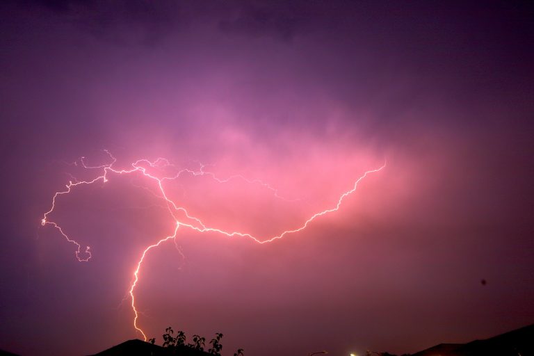
Then suddenly the storm organised with some separation. Almost with automatic response – out came the tripod! This separation coincided with increased lightning activity and a dense core of precipitation to its immediate north (most likely containing hailstones). The interaction with the mountains was quite interesting for about 5 or more minutes. This organisation and lighting lasted at least 25 minutes. I was reluctant at first to call this a supercell but timelapse seems to confirm storm scale rotation for at least 20 minutes! This storm seemed to also be under an overshoot and also a backsheared anvil! I did make my way down the mountain to see what else could be intercepted but alas this was it for the day! Storms to the west of this would have taken me 3 hours to get to so I called it a day.
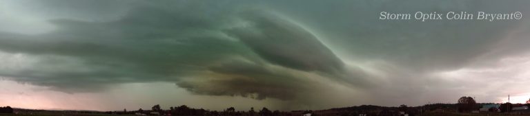
Thanks to Colin for being in position for the external structure – classic back-sheared anvil and overshoot! I do believe this adds to the evidence of being a supercell.
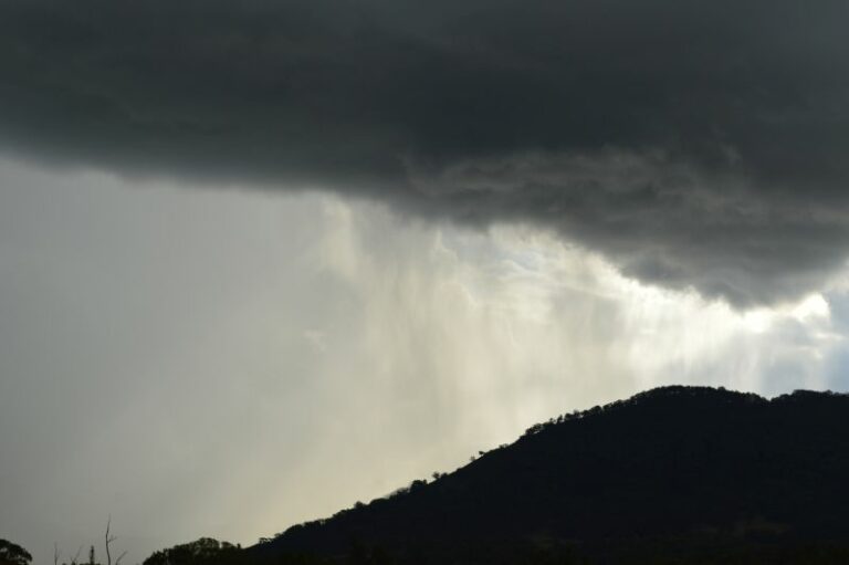
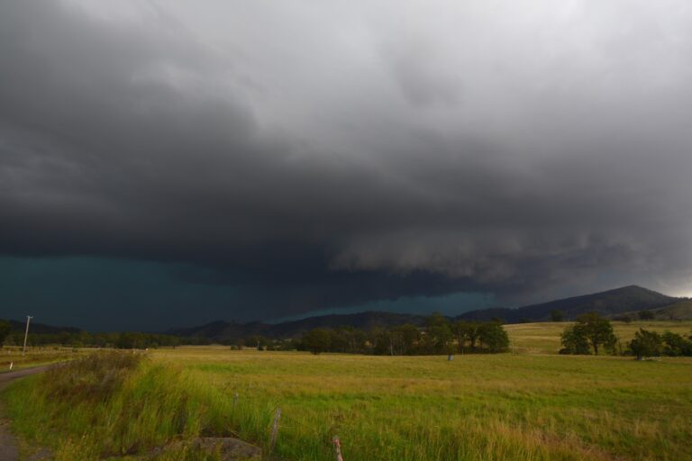
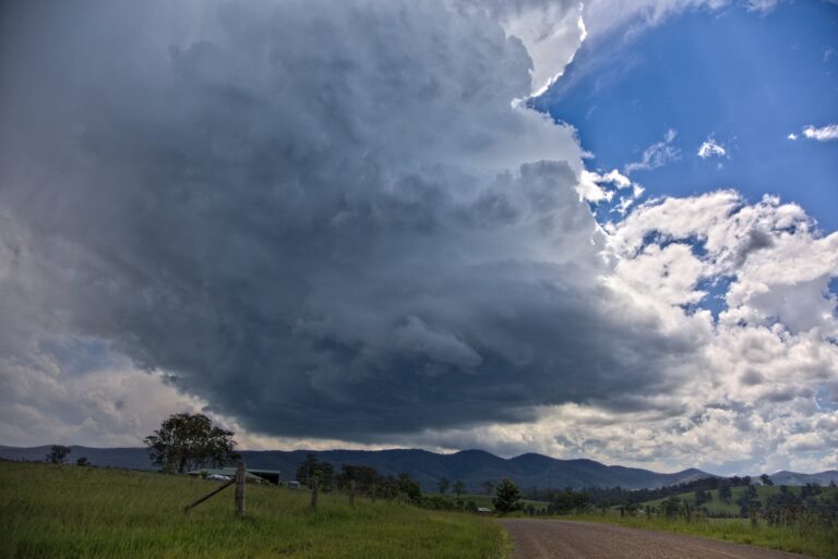
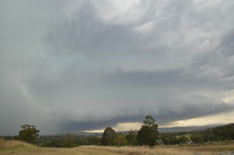
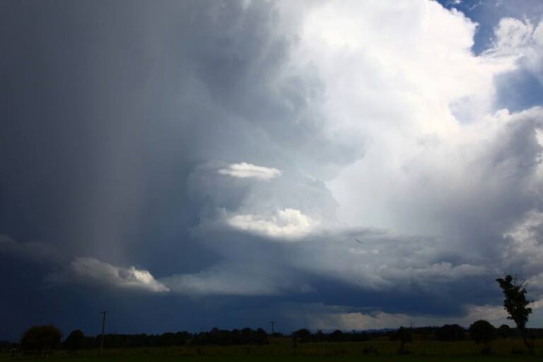
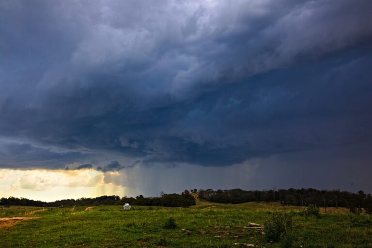
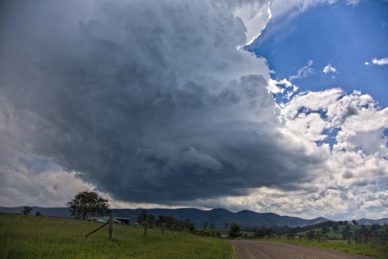
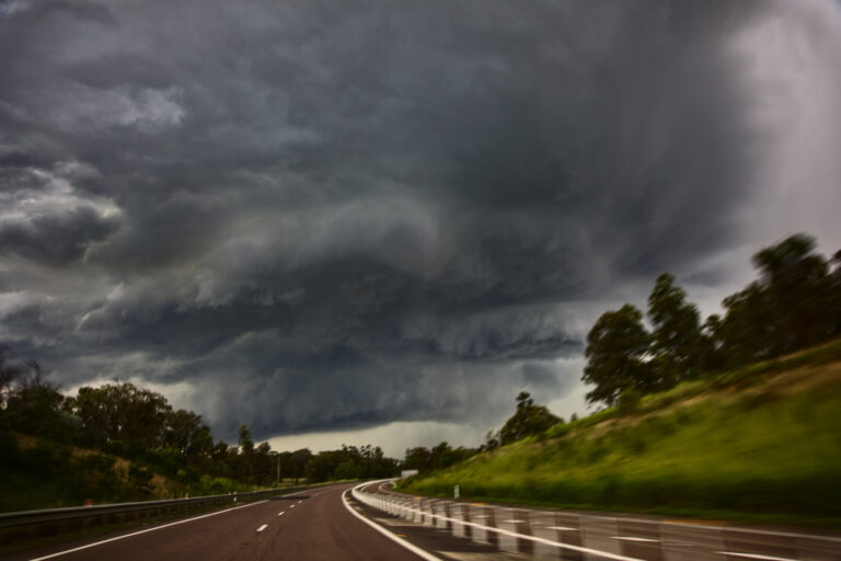
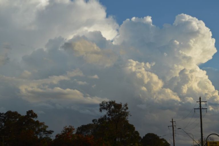


Supercell likely intercepted today west of Taree and south of Nowendoc. Check it out!
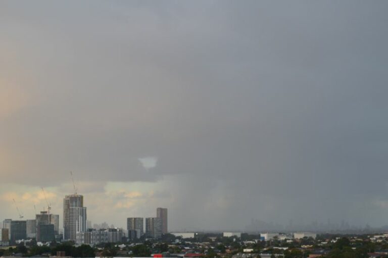
I did c a cell 2 the northwest of where I was at Darling Harbour today just after 7pm b4 I went on our annual christmas party on a boat. It was quite some distance away n looked like it had potential 2 become a supercell at 1 stage.
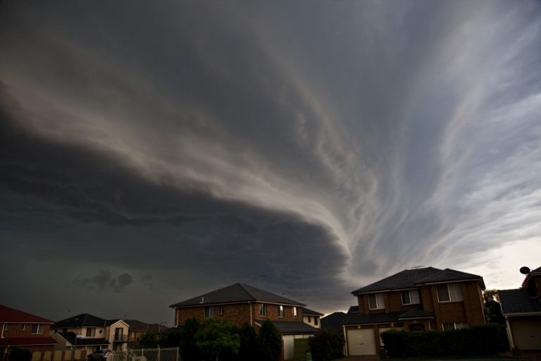
Colin Bryant has pictures of that – not sure about the base structure as yet. The Putty Road is notorious for not providing the best observational opportunities.It seems the radar did show structure that at least looked or behaved supercellular.
Colin Bryant has pictures of that – not sure about the base structure as yet. The Putty Road is notorious for not providing the best observational opportunities.It seems the radar did show structure that at least looked or behaved supercellular.
hi jimmy, here some pics of that supercell that you were on , i took these from singleton ,nice structure, nice intercept jimmy love ya pics
another
love this one
so ended up leaving this one jimmy was on ,noticed some towers in the hazy distance towards lithgo,so shot back on the good old putty rd ,the only spot for photos was this spot that jimmy showed me last weekend on our way to Qld ,storm looked pretty good for a while then weakened, a few pic from that one
another one
started to weaken
Looks like a strong left moving cell near Wingham today. I hope Colin was in the area.
I have decided to finally process the video in order to piece together the evidence of the storm near Nowendoc. I initially suggested based on scanning the video that it most likely was a supercell. However, after processing the video, I am not so sure – you be the judge and I would like some constructive criticism of this event.
Posted a video time lapse of the storm south of Nowendoc.
Nice video Jimmy, certainly there is a visual circulation on the storm scale, in your vid. To answer you, though, cant say since it’s not one of the higher-end events where you can assume that it is (a supercell) based on the ‘weather’ it produces. This one does not appear to be a particularly strong storm, although the updrafts in Colin’s pics look strong. So the question really is did the rotation meet the required criteria (duration, scale, intensity), under whatever definition you use. Since that requires an analysis of radar, which is not possible at Nowendoc, your guess is as good as any. Regardless, nice clean base and as you noted, the rain/hail remains well clear of that base and also slow moving — and what a place to spot a storm :)