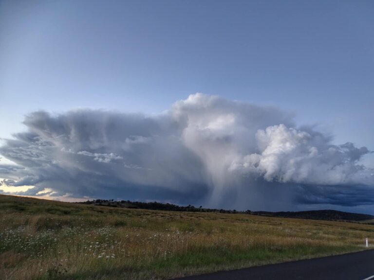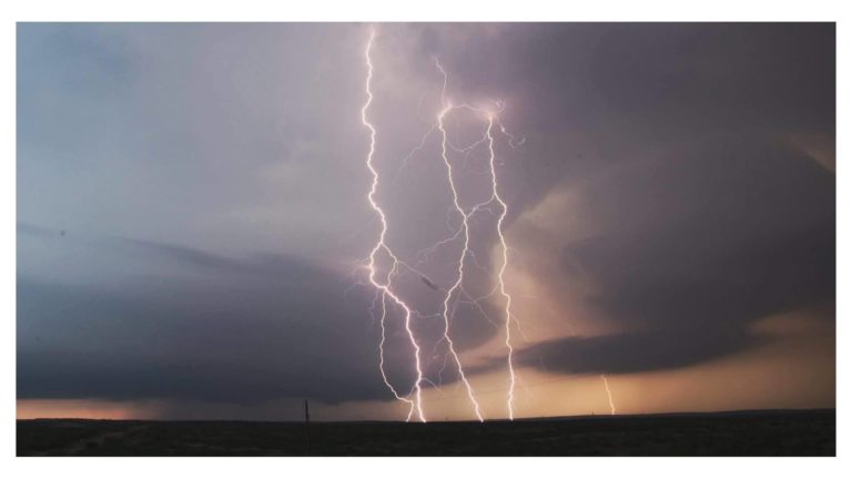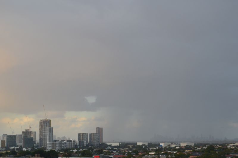
Cold and rain Eastern New South Wales – 29 July to 3 August 2025 – Extreme Storms
As an addendum statement to the first post, the most recent weather event has had a dramatic impact during Saturday across eastern New South Wales. Significant events from the system include:
1 – Snow event
Snow being recorded around Guyra and Armidale on the New South Wales Northern Tablelands and any locality above at least 1,000 metres in elevation. Late Saturday, three major roads into and out of Armidale being the New England Highway (North and south of town) and the Waterfall Way to the east linking to Dorrigo were closed due to ice and snow.
Snow falls reached 15 cm deep around Glenn Innes (Located 99 km north of Armidale).
The main highway being the New England Highway linking the region was still closed Sunday morning by snow and ice.
Armidale Northern Tablelands
In addition to the snowfall being recorded at Armidale, an incredible temperature profile occurred for Saturday which is exceptionally rare to observe as follows:
- Midnight – The temperature was 5.6C (Warmest part of the day).
- 8 am – Plus 2.2C.
- 12 Midday – Minus 0.1C (With snow falling).
- 3 pm – 0C.
- 5 pm – Minus 0.2C
- 12 midnight Sunday – Minus 0.6C.
Armidale sits 1,000 to 1,100 metres above sea level and given the right conditions, widespread snow is possible in winter. I remember this occurring twice during the winter of 1990 when I was attending University with one event occurring early to mid June and another event occurring early August.
Heavier snowfall occurred at higher elevations. It appears that this is the most significant snow event in over 20 years to occur across the region.
The Armidale Airport Webcam image (Attached) located at Armidale Airport at an elevation of 1,105 metres shows snowfall completely covering the ground and the tarmac Saturday afternoon.
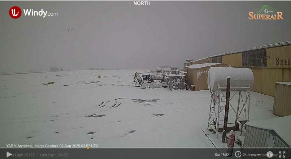
- SES crews responded to 100 drivers stuck in snow in snow affected regions of the Northern Tablelands and around Armidale.
It is known that light snow falls reached into the Granite Belt of inland southeast Queensland near Stanthorpe.
2 – Heavy rainfall
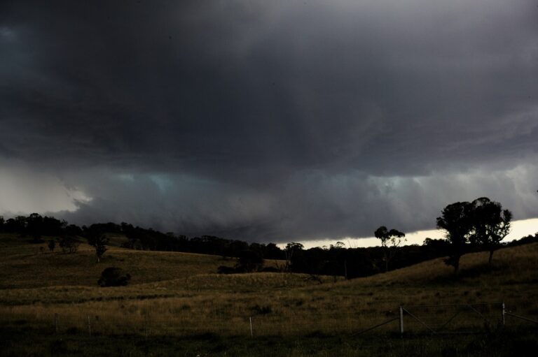
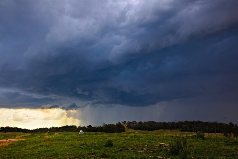
Heavy rain showers featured after dark across Sydney and at 9.15pm, an isolated thunderstorm passed over the Blacktown and Castle Hill areas with three thunderclaps being heard. This includes one reasonable thunderclap following a solid lightning strike.
This is unique given the timing at 9.15 pm to 9.20 pm at night for it tracked northwest. This was accompanied with a brief but heavy rain shower.
As a separate notation, this is the first time that I have experienced or observed a thunderstorm occurring at least once during every month of winter being June, July and August.
Isolated rainfall totals have topped 100 mm just north of Sydney due to heavy rain showers. Some higher totals to 9 am Sunday morning include:
- Careys Creek Barrington Tops – 150 mm.
- Crawford – 126 mm.
- Comboyne Public School – 123 mm.
Extensive 50 to 99 mm totals occurred across the Lower Hunter Valley and Lower North Coast towards Port Macquarie.
Across Sydney the heaviest rainfall total to 9 am Sunday includes:
- 59.8 mm at Richmond.
- 58.6 mm at Hornsby.
- 55.5 mm at Belrose.
3 – Minor to moderate flooding impacts
Some instances of minor flooding is observed at certain locations such as along the Patterson River, Nepean River at Nepean Weir and Hunter River at Denman.
There are isolated instances of minor to moderate flooding around Tamworth (Peel River at Tamworth Water Supply Treatment Plant).
In addition to the above, a person is missing from what appears to be an attempt to cross a flooded road 16 km north of Cessnock at night and in a vehicle.
4 – Cold conditions
In Tamworth (Northwest slops and plains), the maximum daytime temperature hovered between 6C and 8C between 6 am and 6 pm for Saturday.
Across Sydney another cold day ensured but not as cold as Wednesday including:
- Penrith 13.9C at 3.30 pm
- Campbelltown 13.7C.
- Horsley Park 14.4C.
Being amongst the coldest locations across the city.
Off course, the whole of the northern Tablelands was exceptionally cold given the snowy conditions that prevailed.
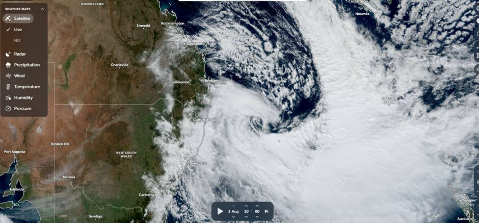
Satellite image
The satellite image (NASA Zoom Earth) for Sunday morning shows the cloud swirling around a low pressure system off the New South Wales North Coast, east of Coffs Harbour. This has become a strong weather system that has brought varied weather over the past 3 to 4 days.