
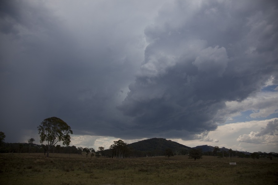
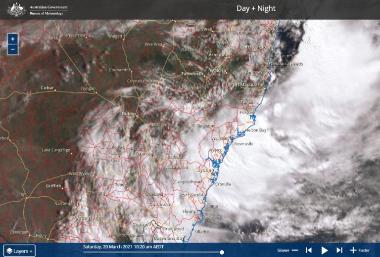
 Colin, Harley and I targeted the region north of Gloucester. On the F3 freeway, and a tower exploded in that region. By the time we got to it, the storm had weakened. Time for lunch as we contemplated what else may fire. I had in my mind that a moisture boundary seemed to be located further east.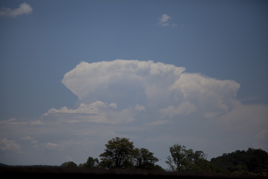
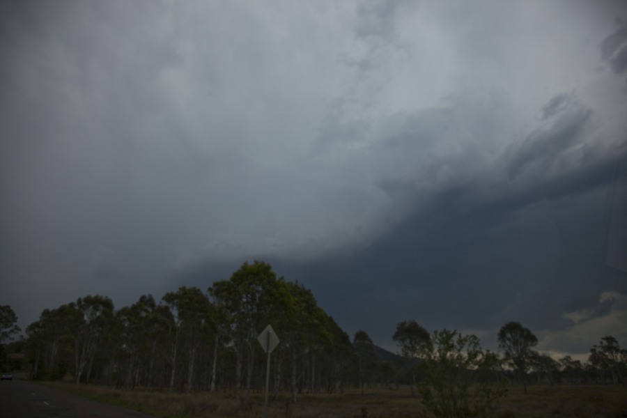
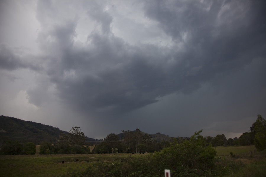
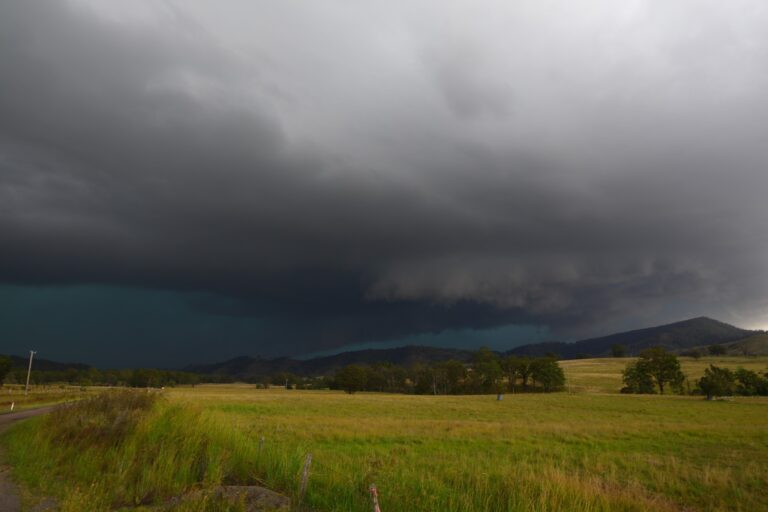
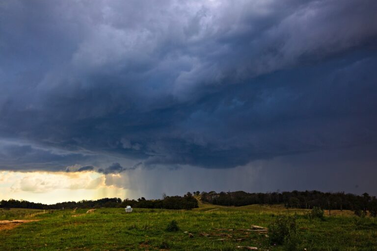
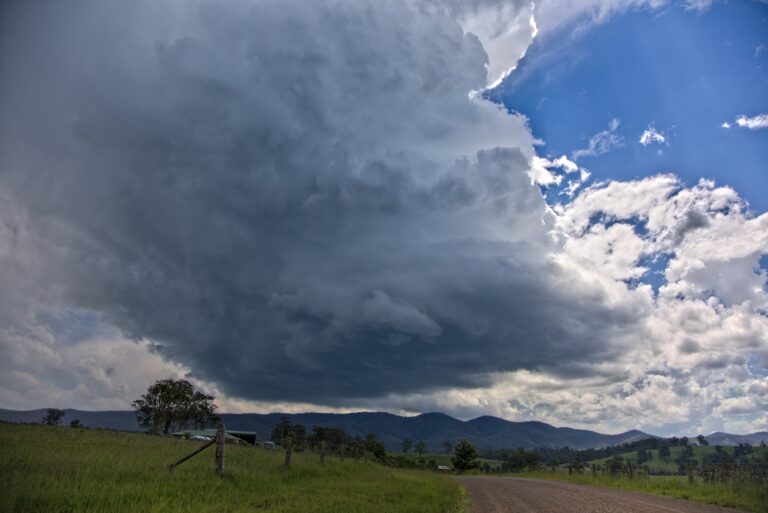
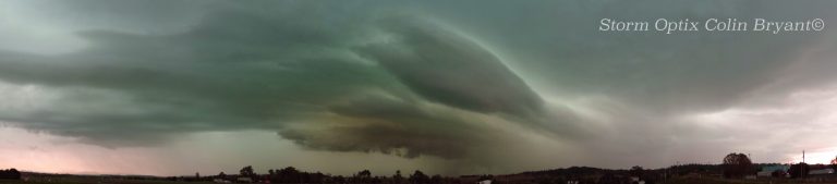
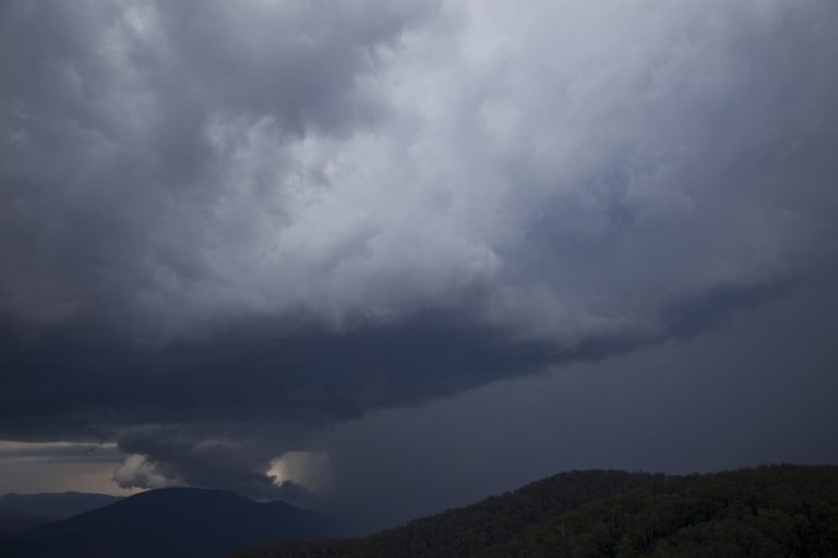
So after lunch we headed east towards Taree. It was not long before we were in the moisture and at Krambach, we stopped. A cell to the south near Bulahdelah was strong and headed for us. However, our attention turned to strong tower to our SW. This began to organise and soon contained precipitation and a rain free base. Suddenly the storm organised with a green tinge. With this move into severe limits came out the Bureau of Meteorology warning. We paced the storm to just south of Wingham. From here the storm remained in hard to reach areas so we called it a day. Some strong bolts pierced the ground from the cells and a couple behind us so we got back in the car.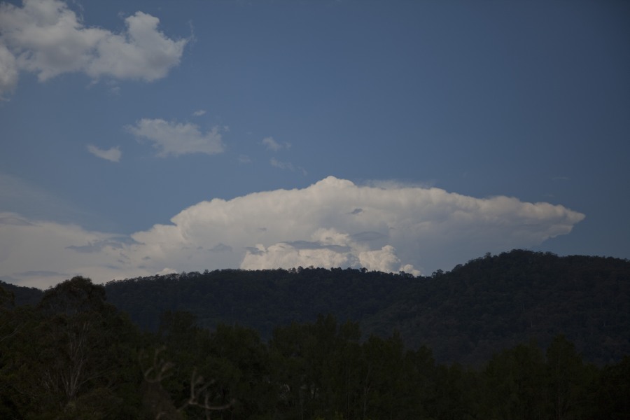
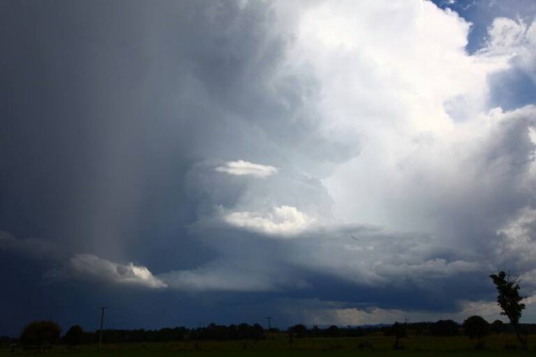
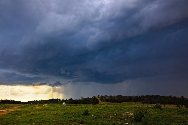
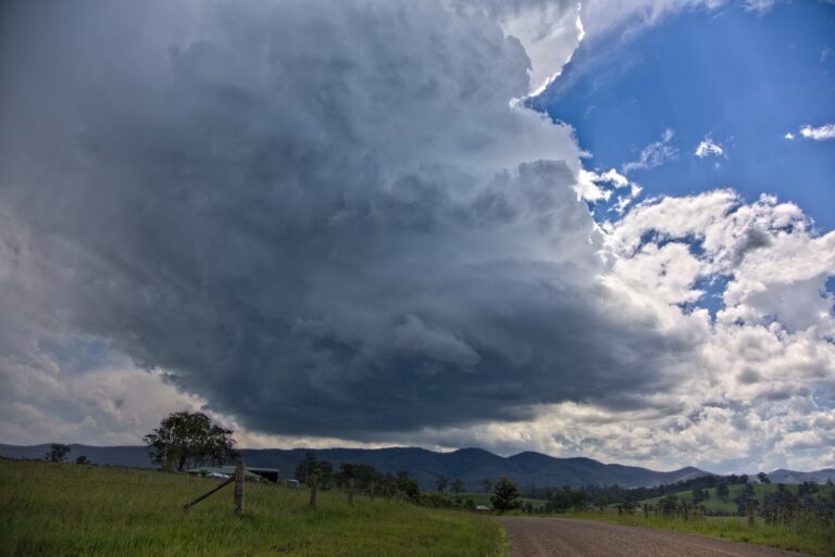





I just want to say thank you to Jimmy and Colin. I had an enjoyable day. Colin, it was a great drive. I have to work on my photos as soon as possible. I have looked at them and they have come out really well on my camera. The one of the lightning strike is excellent but I need to rework it before I post it.
My initial target was the Central Tablelands, say Lithgow / Oberon, which did occur later in the day as expected. However, on my way to meet up with Jimmy, I saw a narrow band of alto cumulus castellatus develop to the north with some small towers on a few of the more robust clouds. These caught my attention. I had already done some forecasting to the north and knowing the moisture was better to the north, I changed my mind.
A small number of those lightning bolts we saw were impressive but I was not filming them. I was mainly concentrating on cloud structure but seeing storm cells again just as I like them really made my day and hopefully a good start to a week that promises more thunderstorm activity.
Harley Pearman, I want to reiterate your thanks to Colin Bryant as he drove beyond what I anticipated when there was a pressure with time restraints ie for stops.It has been a tiring 2 days but at least finally some results.
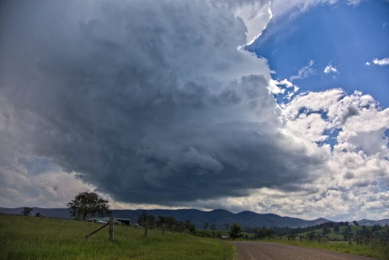
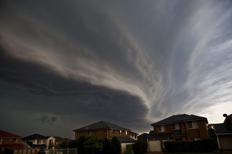
I attach a few photos of the storm event.
The storm builds to the west. It consolidates into a stronger cell.
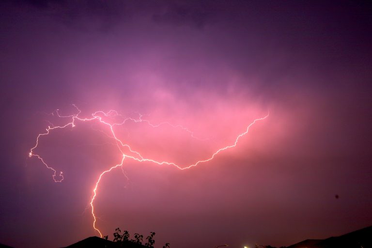
This is the photo as promised. This was so lucky. I was only concentrating on the rain and microburst. Not using my Sony camera, I just took aim and snapped the photo but a lightning strike occurred as the shutter was pressed. I have never achieved this. For me, I am quite excited. Normally, I would mount my big camera on a tripod to do this. The photo made my day and a rewarding chase.
Well done on your first photographic shot of lightning. And that was a nice shot too!
I observed the storms you photographed yesterday whilst having a swim with my family at Corlette in Port Stephens. The updraft definitely caught my attention and at the time the storm was at its most severe it had a rock hard updraft with a pronounced hail shaft coming from beneath it. It was hard to make out base features from my distance, however there were some nice cloud tags coming out of the rear of the updraft. I also managed to see one of the lightning bolts near the hail shaft. Unfortunately I was unable to take any pictures for your reference.
No pictures Matt? How about you Nick? You were also at Port Stephens. I would have loved to see the updraft pictures!
another pic from the chase