During Thursday afternoon, numerous thunderstorms developed across Eastern New South Wales with a number of these becoming severe in intensity and their impacts. A few of these were reported in the media.(If you have experienced hail damage, please contact 0408020468 or go to haidents.com.au)
It is acknowledged that there were numerous storms and chasing was not possible due to COVID lockdowns however three such events do stand out for the day as follows.
1 – Armidale Northern Tablelands NSW
The local airport weather station is situated south west of town and a review of this station weather data does not identify the thunderstorm that impacted the town to the north at around 10 pm. The airport weather station only identifies 10 mm of rainfall but nothing significant.
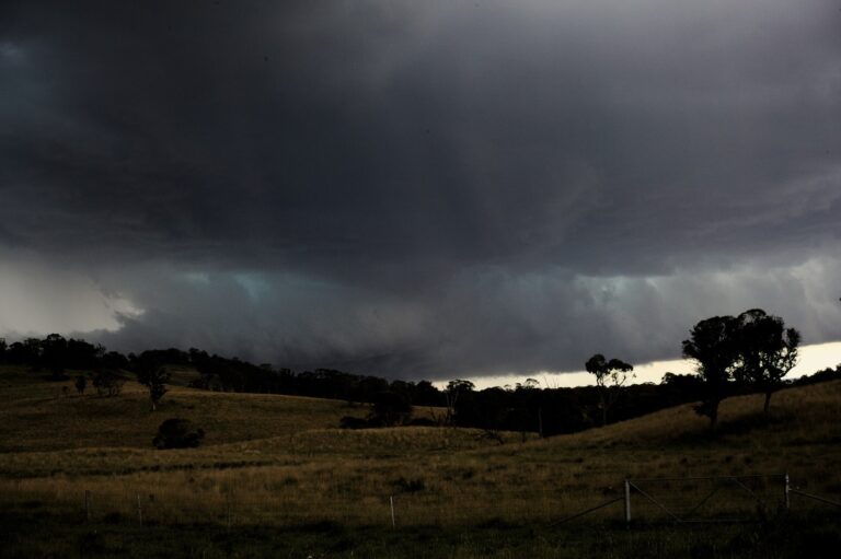
Further north, it appears that the town was impacted by a significant thunderstorm that brought hail and media reports are showing a tornado passing through the north east portion of town at around 10 pm Thursday evening. Newspaper reports within the Armidale Express shows a trail of damage including damage to buildings at the University of New England and extensive damage to homes along a narrow path across the north east portion of town.
2 – Goulburn
A significant thunderstorm passed over much of the town dropping hail especially across the southern half of the town. The local weather station recorded 11.6 mm of rain in just 5 minutes between 1.25 pm and 1.30 pm Thursday afternoon for a total of 24 mm of rain from the single event. The rain fell in a very short period of time. The local weather station did not experience significant wind but torrential rain and hail was a feature of this event.
Further storm and rain activity later during the day boosted the tally to 35 mm for this weather station.
3 – Western Sydney (Penrith to Parramatta)
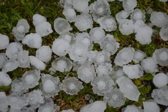
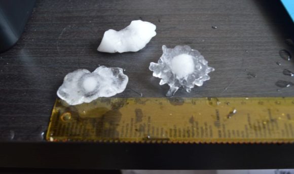
This storm is covered in detail in a separate post but late Thursday a very significant thunderstorm that at one stage was even tornado warned passed over Western Sydney producing copious amount of hail in the 4 to 6 cm range. Generally, 4 to 5 cm hail appear to have been most common. The same storm has caused significant roof damage to Westfield Mt Druitt and I have since learnt of further damage in the area where I live being mostly trees being felled by winds and local power outages.
Refer to the post “Significant Thunderstorm Impacts Western Sydney with Large Hail – October 14 2021” for further details including images of hail taken and some details of rainfall. The heaviest fall from the whole event across Sydney was 35 mm around Auburn.
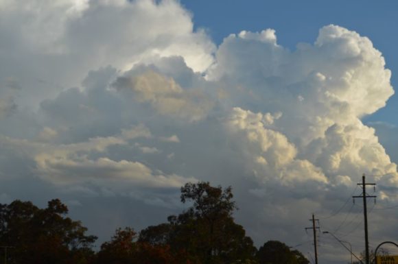
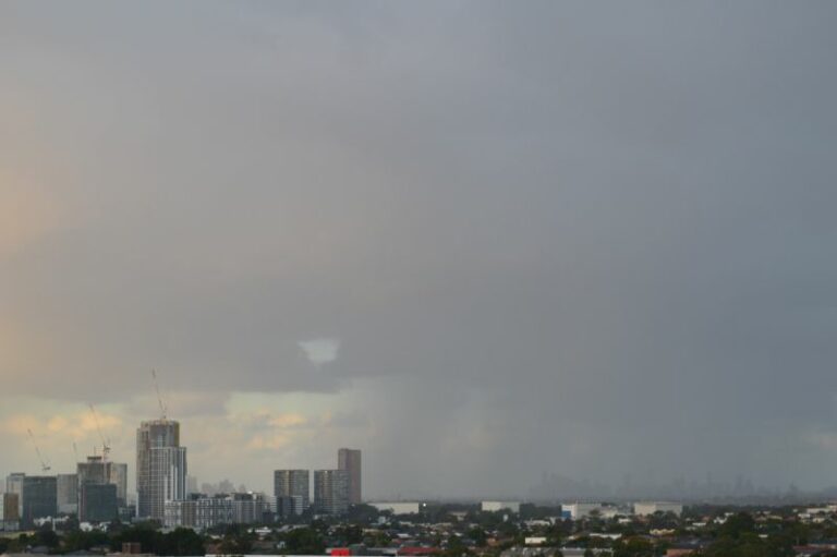
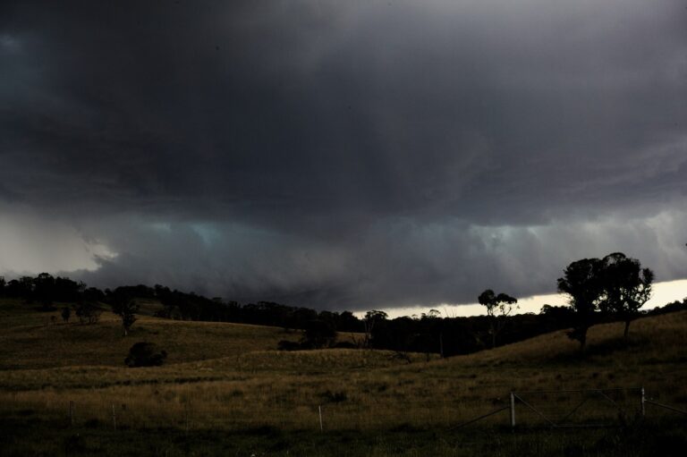
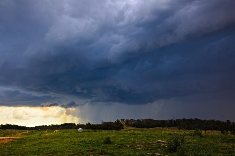
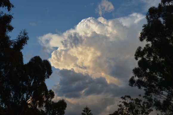
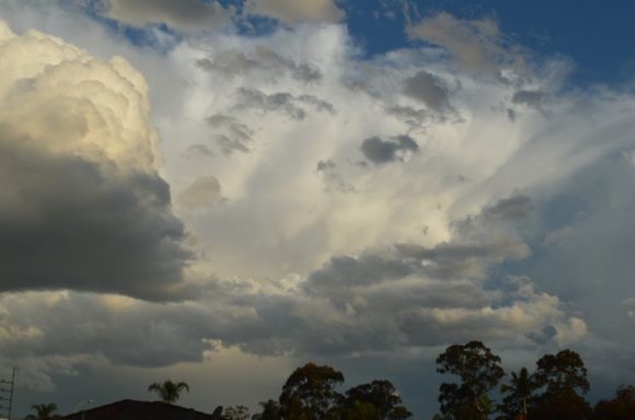
I do not have photos of the storms approach but do have photos that I took of later storms at sunset that developed at or just after sunset. Later that night, distant lightning was observed from storms that were out to sea to the east but too far away to be photographed.
This storm and others were part of a dynamic weather system crossing New South Wales during Thursday. Again, while there were many other storm cells and likely hail events, the three mentioned above have been gaining greater attention due to their impact on population centres of the state.