Weather models have been tipping a significant rain event to impact parts of the southern QLD and northern NSW coastal regions starting Sunday 22nd. GFS maps have thrown up some amazing accumulations in the order of 700mm but it’s also struggling with when and where most of that would fall.
The latest AR model output from the BoM with Weatherzone certainly has a flood look to it for the Northern Rivers. Strong high in the Tasman Sea, converging winds and persistent troughiness without a full blown coastal low forming.
I guess I should expect it to be pretty wet from Sunday night onwards !



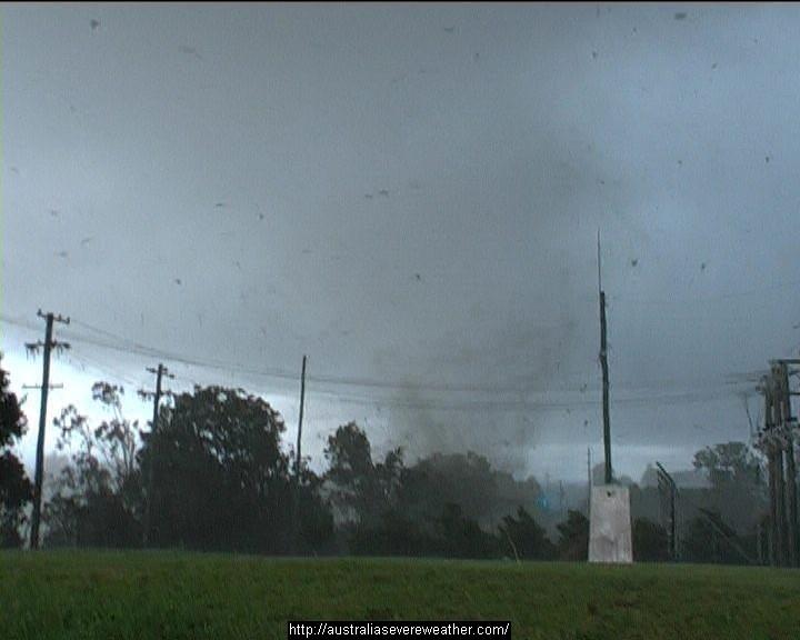
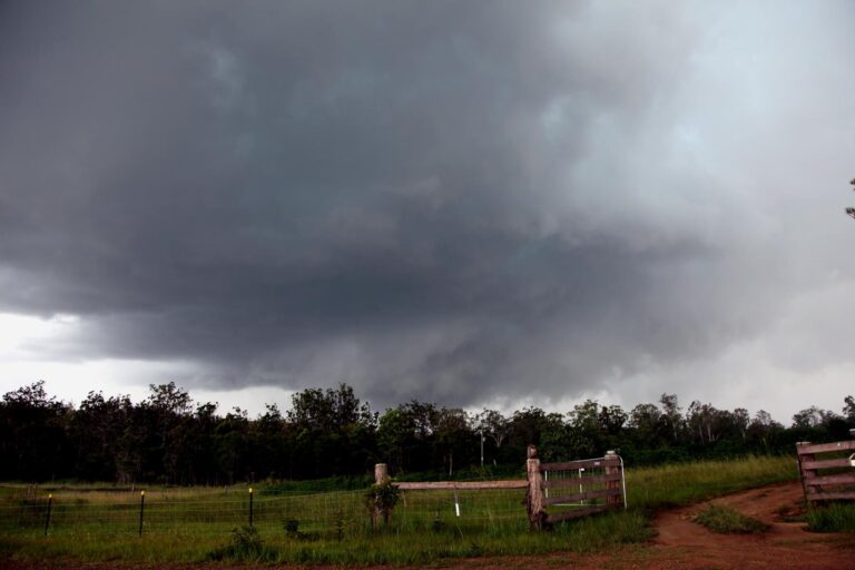
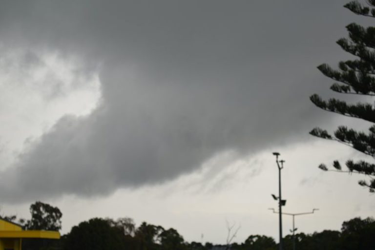


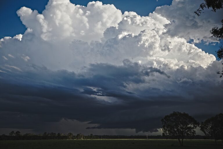
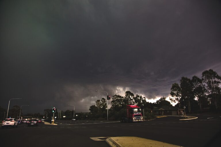
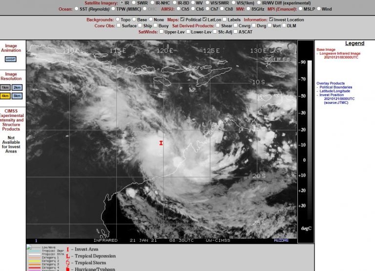

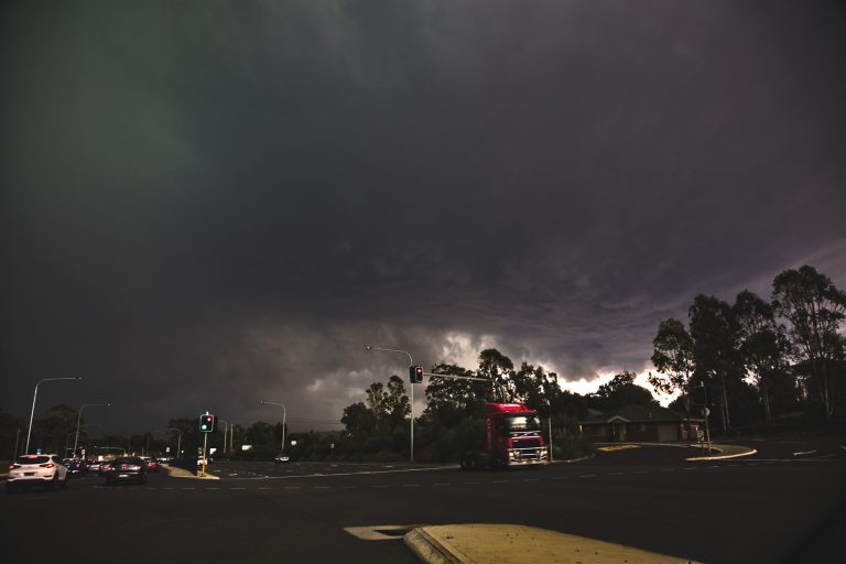



I am heading up to Coffs HArbour to cover the flooding there , but i wonder about the GFS forcast for the main falls to be in the Tweed area.
Tweed Valley has received up to 300mm of rain overnight so the threat was worsened there – though it’s limited to get around. Heavy falls now in the Wilsons/Richmond and surrounding catchments. The last 3 runs of GFS forecast about 300mm for here in the next 12 hours, though BoM model has a lot less – so we’ll see. Latest flood watch going for moderate-major flooding:
FLOOD WATCH FOR THE NSW NORTHERN RIVERS AND MID NORTH COAST
Issued at 9:02 am EDT on Wednesday 25 January 2012
Note: This Flood Watch is a “heads up” for possible future flooding and is NOT a Flood Warning [see note below].
A slow moving high pressure system centred over the Tasman Sea is directing a moist easterly airstream across New South Wales. Heavy Rainfall is forecast for the Northern Rivers for the next 48 hours.
Minor to Moderate Flood Warnings are current for the Tweed, and Richmond – Wilsons valleys in the northern rivers.
With the rainfall expected today and tomorrow there is a greater than 70% chance of Major flooding as well as local flash flooding along the following river valleys from today onwards:
1.Tweed River
2.Richmond & Wilsons Rivers
3.Brunswick River Valley
In the lower northern rivers and upper mid north coast there is the potential for minor to moderate flooding in the following river valleys:
4. Hastings Valley
5. Macleay Valley
Flood Warnings remain current for the Clarence, Bellinger, Nambucca and Nambucca Valleys.
A few photos from the Eltham Valley upstream of Lismore NSW this morning (26th Jan). Wilsons River peaked at 9.47m around 6am for Eltham – 8 metres above normal and a ‘low’ major flood for here. This is below my place at McLeans Ridges where you can see some of the flood waters on the webcam.
http://australiasevereweather.com/video/webcam.htm
The water is still rising in Lismore but not for long – a medium type of moderate flood for there.
Rainfall figures for the event (24 hours to 9am) for McLeans Ridges, NSW
23/01 12.6mm
24/01 14.0mm
25/01 56.6mm
26/01 117.0mm