Extreme Storms

Tornado

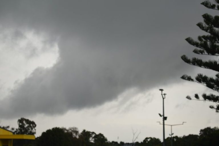
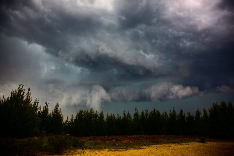
Large funnel cloud NE NSW 18 November 2012

· by Michael Bath

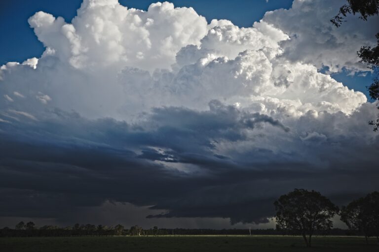
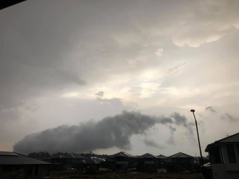
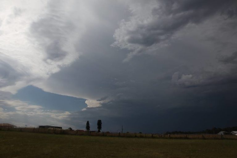
Any thoughts about what was observed here? I had to boost the contrast as the light was fairly harsh. The storm developed south of Urbenville during the afternoon of 18th November. The photos are of the right mover of a split from 04.05 UTC

128km Radar Loop for Brisbane, 03:00 18/11/2012 to 06:00 18/11/2012 UTC

First photo shows the cumulonimbus structure, then zoomed in after that.

Open the storm map around Urbenville, NSW

More storms near Urbenville, NSW

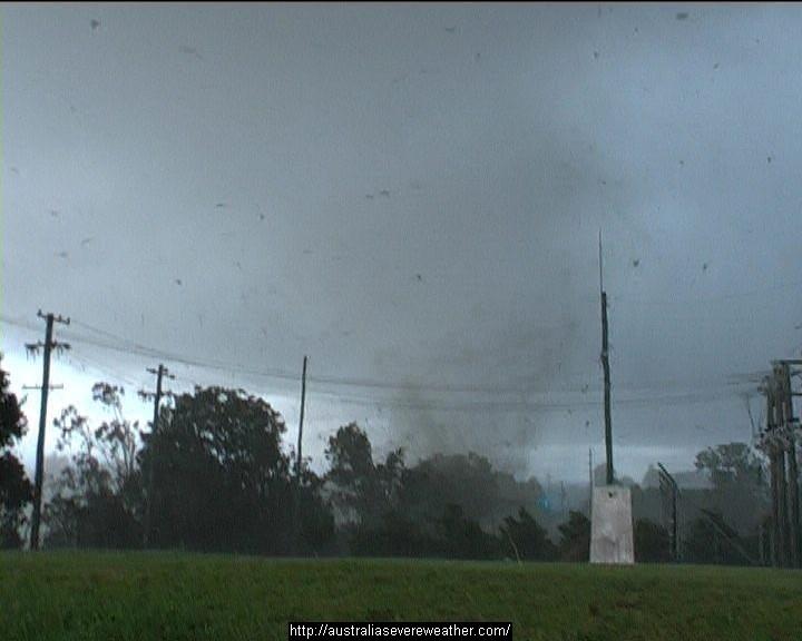
Heavy Rainfall impacts Southeast Queensland and Northeast New South Wales – 17 and 18 May 2026 23 May 2026 · Gold Coast / SE Queensland Heavy rain, storms and flooding – North East New South Wales and South East Queensland – 1 – 2 January 2024 5 Jan 2024 · NE NSW / SE Queensland Major thunderstorm outbreak Eastern Australia – December 24 to December 27 28 Dec 2023 · Eastern Australia Quick teaser from yesterday, after the structure shot. Taken about 2km outside of Beaudesert hand held through the window of the car…way too danger… 23 Dec 2023 · Beaudesert, QLD 26th October 2007 Daniel Shaw assisted me (yes way way back) to get footage world wide of an up close personal tornado and debris hitting a substation… 17 Jan 2023 · Dunoon, NSW Further heavy rain and storms – Eastern NSW / SE QLD – 24 to 29 March 2022 26 Mar 2022 · NE NSW / SE Queensland This was one special storm Touch up one of the artistic pic from the recent chase near Stanthorpe. Not for Media use. Licensing available 0408020468… 14 Jan 2022 · Stanthorpe, QLD Heavy coastal showers – New South Wales North Coast, 15-21 February 2021 21 Feb 2021 · NSW North Coast Extreme Storms Whiporie Supercell 5th January 2021 9 Jan 2021 · Whiporie, NSW Started at Narrabri – flat battery and an NRMA call and off I went. Target Grafton via Dorrigo. Darted to Ulong region which was close to where 2cm ha… 6 Jan 2021 · Whiporie supercell (Grafton), NSW Last Saturday 31st October 2020, I went on a marathon journey 9 hours to NE NSW … 5 Nov 2020 · NE NSW (Tenterfield) Large funnel cloud north of Wiangaree 3 Nov 2020 · Wiangaree, NSW

All storm reports from Urbenville, NSW →

Also on 22 November

4 comments

  1. Further to my comments Michael Bath, were winds southeasterly in the region? Were SW winds moving into the region. Enroute down the coast of NE NSW after crossing the border, there was an E-W boundary we passed under. If such a boundary had been present in the area it could have easily enhance vorticity in the storm environment.

  2. A substantial SE wind shift developing during the afternoon. I recall winds seemed fairly light at our location at the time – which was approx 40km ESE of the funnel cloud. Jason Paterson should have some video. Yeah it seems a bit too large to just be a funnel though you can’t see any contact to the ground from those shots.

  3. I guess you will have to find the elevation of the region it was in and the typical LCL you would expect from the soundings to give some insight on the probability of it being close to the ground or basically on the ground.

Add a comment

After the storm Hail damage repair Hail dents removed from behind, factory paint kept. Hail Dent Repair. Chase with us Chase a storm for real Guided storm chasing tours in Australia and Tornado Alley. See Thunderbolt Tours.
Coming soon Radar and storm forecasting Live radar tools and severe storm forecasts from the Extreme Storms team.