Extreme Storms
Illustration, photo from Putty Road Supercell Storm Chase July 6th 2025

Storm report

NE NSW Severe storms 9th January 2012

· by Michael Bath

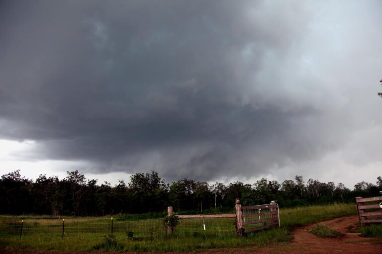
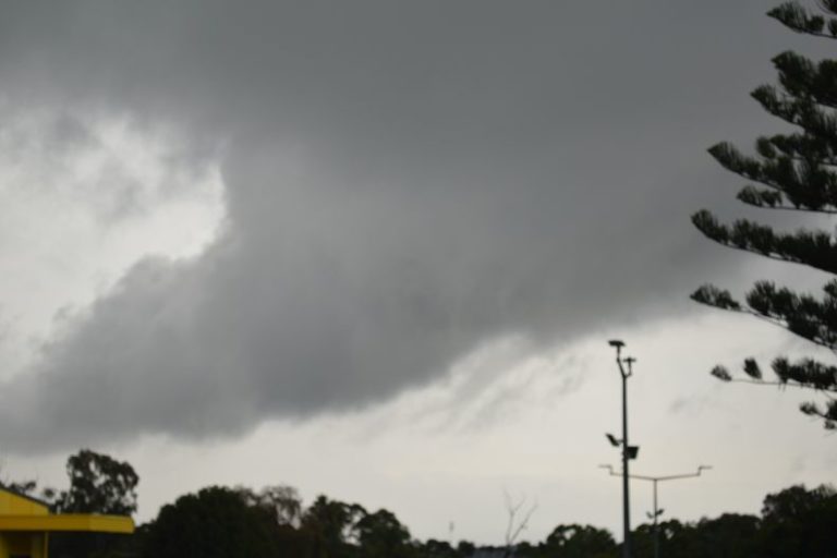
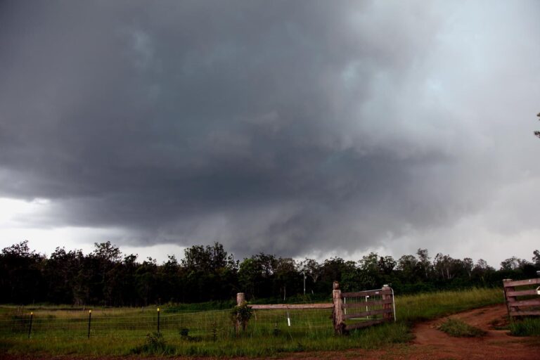
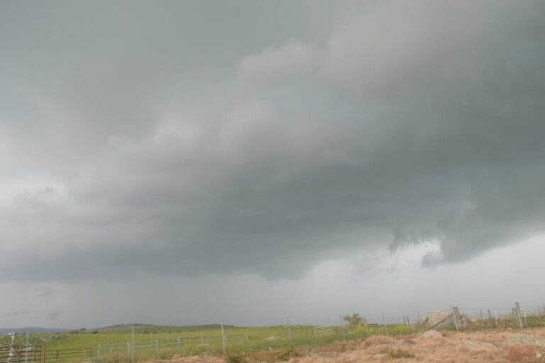
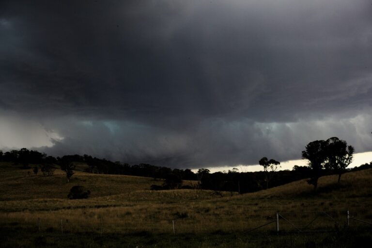
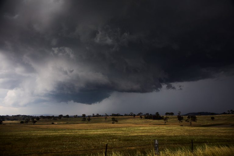
Some photos of the severe storm / possible supercell which developed just southwest of Casino, NSW 9th January 2012. Cape was extremely high thanks to the surface conditions of 37/21 (Casino AP 2pm obs) just prior to initiation. GFS pretty-much pinpointing a triple point where the convection fired.

Some lovely explosive updrafts at the back. Was chasing with my wife Alison (rather rare occassion!), and also met up with Jason Paterson and Rodney Wallbridge.

We copped one wicked gunshot flang with two “pops” at this location as the updrafts backsheared over the top of us. Plenty of other clear-air CGs spotted too – would have been awesome in the late arvo light or evening.

The storm caused some damage across parts of the Alstonville Plateau, including near my place at McLeans Ridges. 25mm in the gauge with 120mm/hr max rain rate. The storm weakened as it crossed the coast to the east of here.

More convection fired up in the same sort of area towards sunset, though lightning died off too soon.


Open the storm map around Casino, NSW

More storms near Casino, NSW

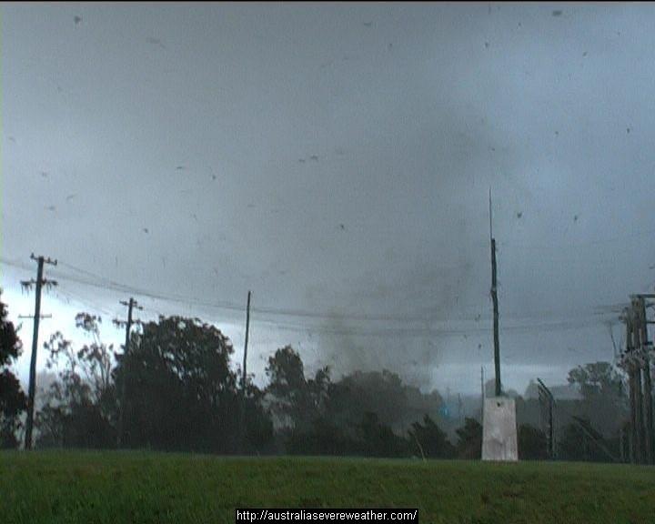
Heavy Rainfall impacts Southeast Queensland and Northeast New South Wales – 17 and 18 May 2026 23 May 2026 · Gold Coast / SE Queensland Heavy rain, storms and flooding – North East New South Wales and South East Queensland – 1 – 2 January 2024 5 Jan 2024 · NE NSW / SE Queensland Major thunderstorm outbreak Eastern Australia – December 24 to December 27 28 Dec 2023 · Eastern Australia Quick teaser from yesterday, after the structure shot. Taken about 2km outside of Beaudesert hand held through the window of the car…way too danger… 23 Dec 2023 · Beaudesert, QLD 26th October 2007 Daniel Shaw assisted me (yes way way back) to get footage world wide of an up close personal tornado and debris hitting a substation… 17 Jan 2023 · Dunoon, NSW Storms from South of Grafton through to Yamba with hook echo for a fair bit of a time! Not for Media Use Licensing available Call 0408020468 www… 1 Jan 2023 · Maclean, NSW Further heavy rain and storms – Eastern NSW / SE QLD – 24 to 29 March 2022 26 Mar 2022 · NE NSW / SE Queensland This was one special storm Touch up one of the artistic pic from the recent chase near Stanthorpe. Not for Media use. Licensing available 0408020468… 14 Jan 2022 · Stanthorpe, QLD Some may recall this supercell has it been 4 years!! Storms from South of Grafton through to Yamba with hook echo for a fair bit of a time! Not fo… 1 Jan 2022 · Grafton, NSW Today is the anniversary of Tyndale when I used to go out and get giant hail 26th October 2003. Dave Croan was with me doing his measurements – this … 26 Oct 2021 · Tyndale, NSW Heavy coastal showers – New South Wales North Coast, 15-21 February 2021 21 Feb 2021 · NSW North Coast Extreme Storms Whiporie Supercell 5th January 2021 9 Jan 2021 · Whiporie, NSW

All storm reports from Casino, NSW →

Also on 10 January

3 comments

  1. Very nice crop updraft and bases on the storms. So what sort of storm heights were achieved given the deep atmosphere? Was there any severe hail reported?

    Jimmy deguara

  2. Brisbane sounding shows overshoot tops could have been 16km high. There were no storms at all in SEQ due to slightly less low level moisture in the region.

    500 temps were only around -3.5 so large hail was not a feature. I have not heard any reports of hail apart from a few small stones.

    MB

  3. So I assume on radar any black cores were intense rainfall. Did time lapse if any show evidence of rotation? Nice deep atmosphere storm!

    Regards Jimmy

Add a comment

After the storm Hail damage repair Hail dents removed from behind, factory paint kept. Hail Dent Repair. Chase with us Chase a storm for real Guided storm chasing tours in Australia and Tornado Alley. See Thunderbolt Tours.
Coming soon Radar and storm forecasting Live radar tools and severe storm forecasts from the Extreme Storms team.