Extreme Storms

Hailstorms · Lightning

Kyogle to Beaudesert supercell 3rd December 2016

· by Jimmy Deguara

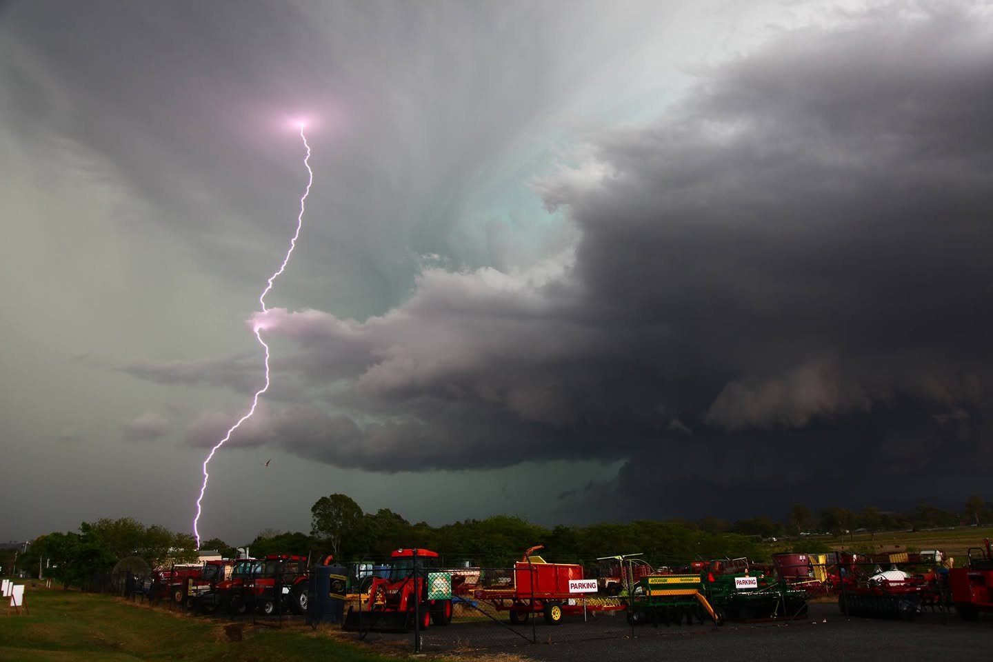
Insane Lightning and Structure
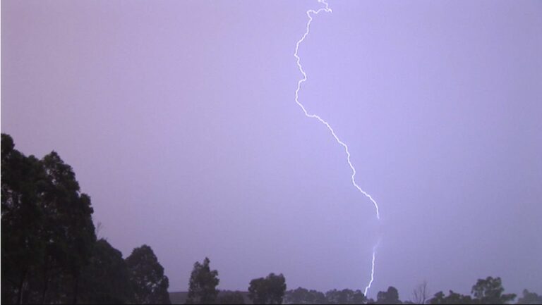
Insane Lightning
Insane Lightning

Watch the video

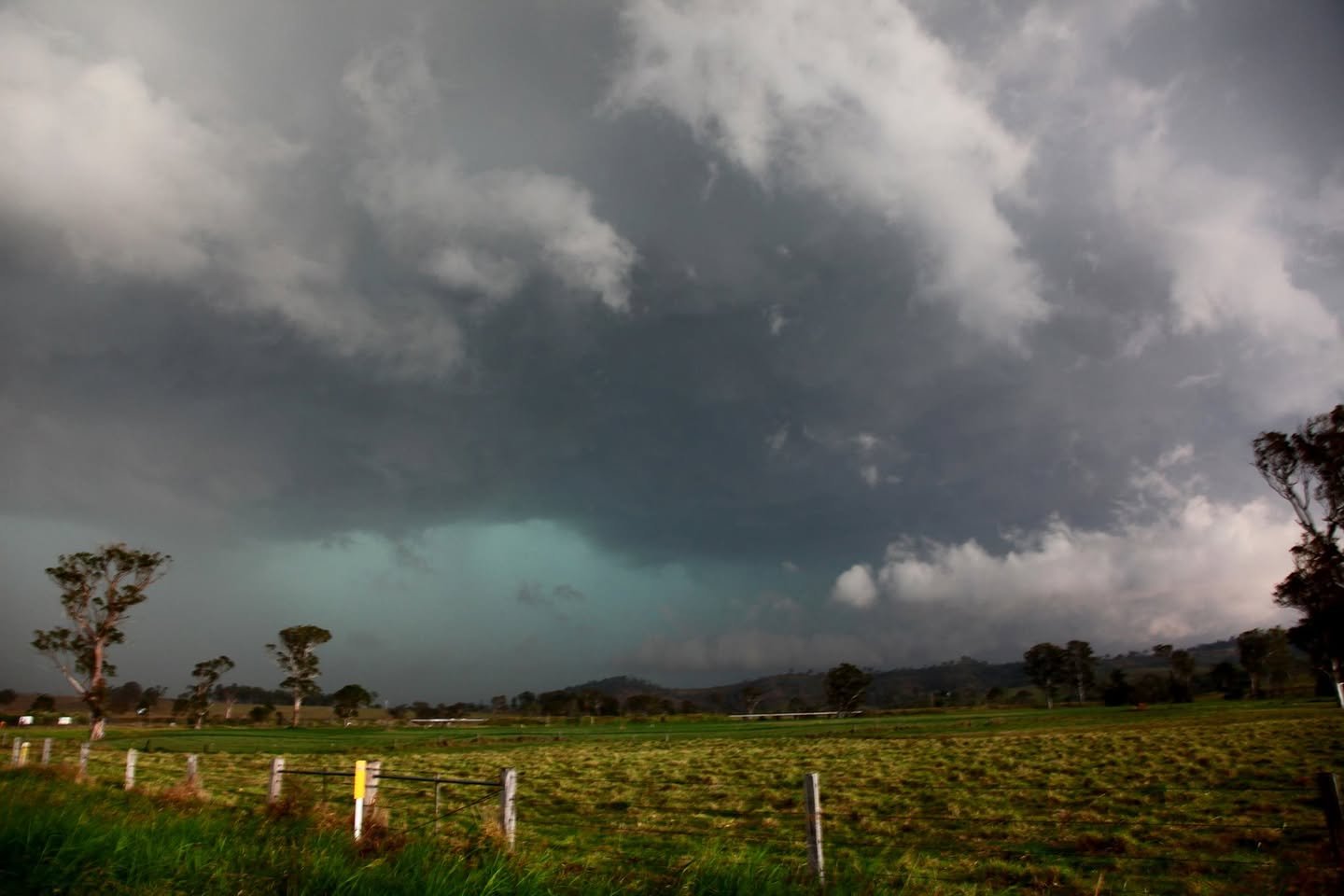
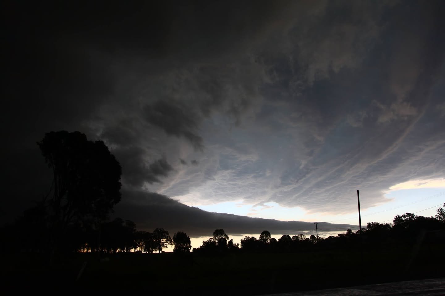
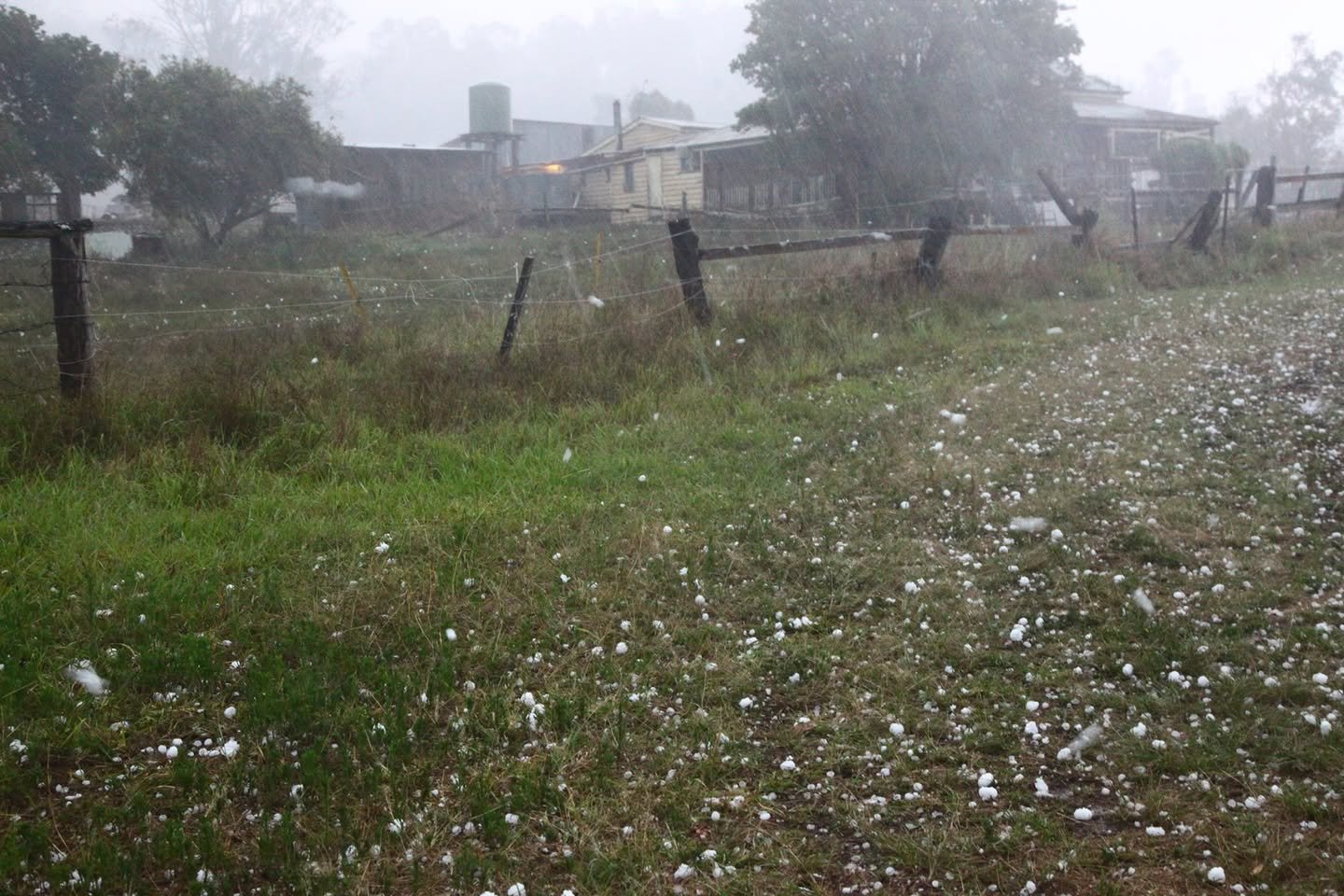
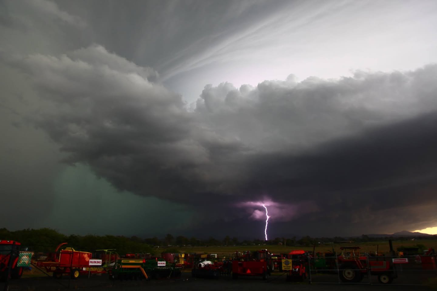
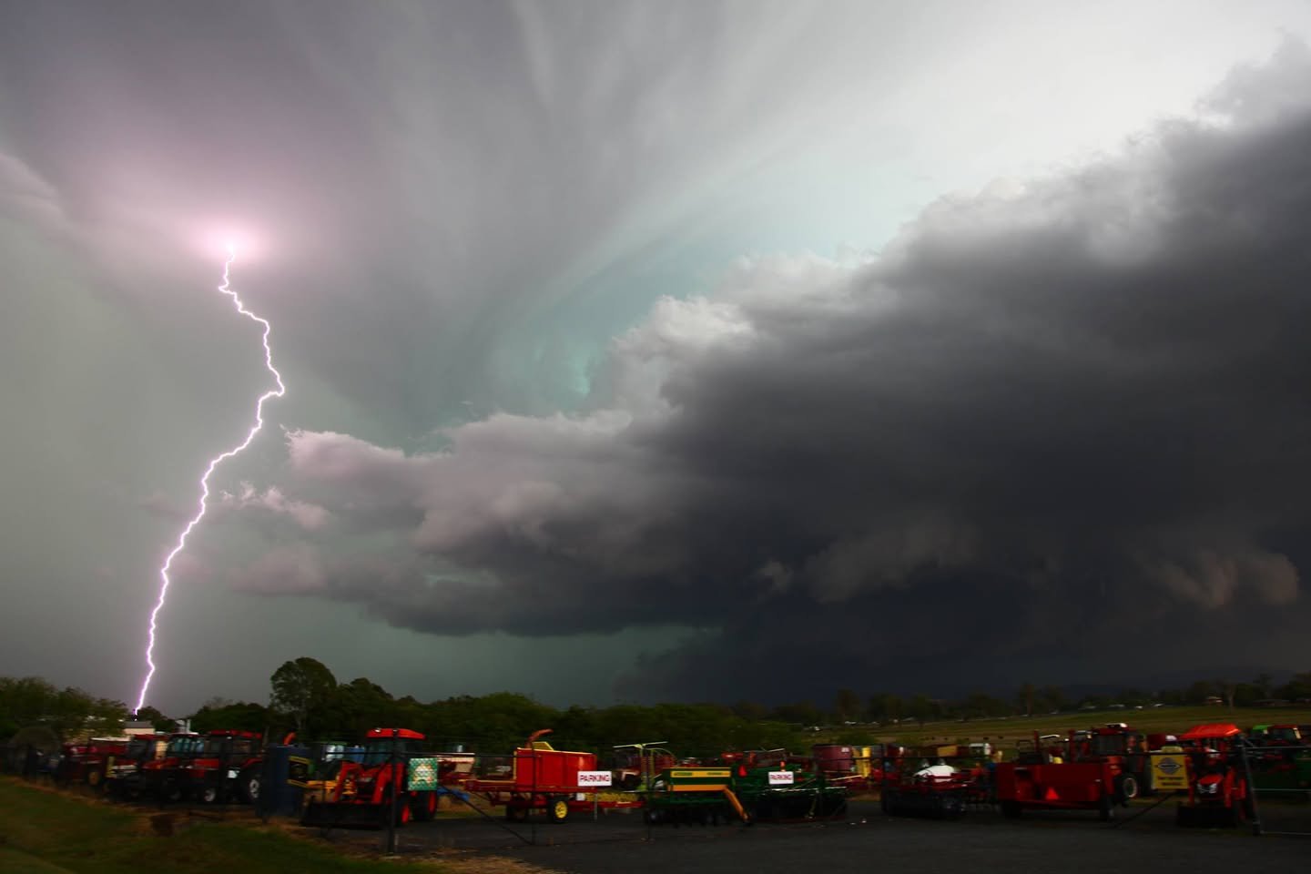
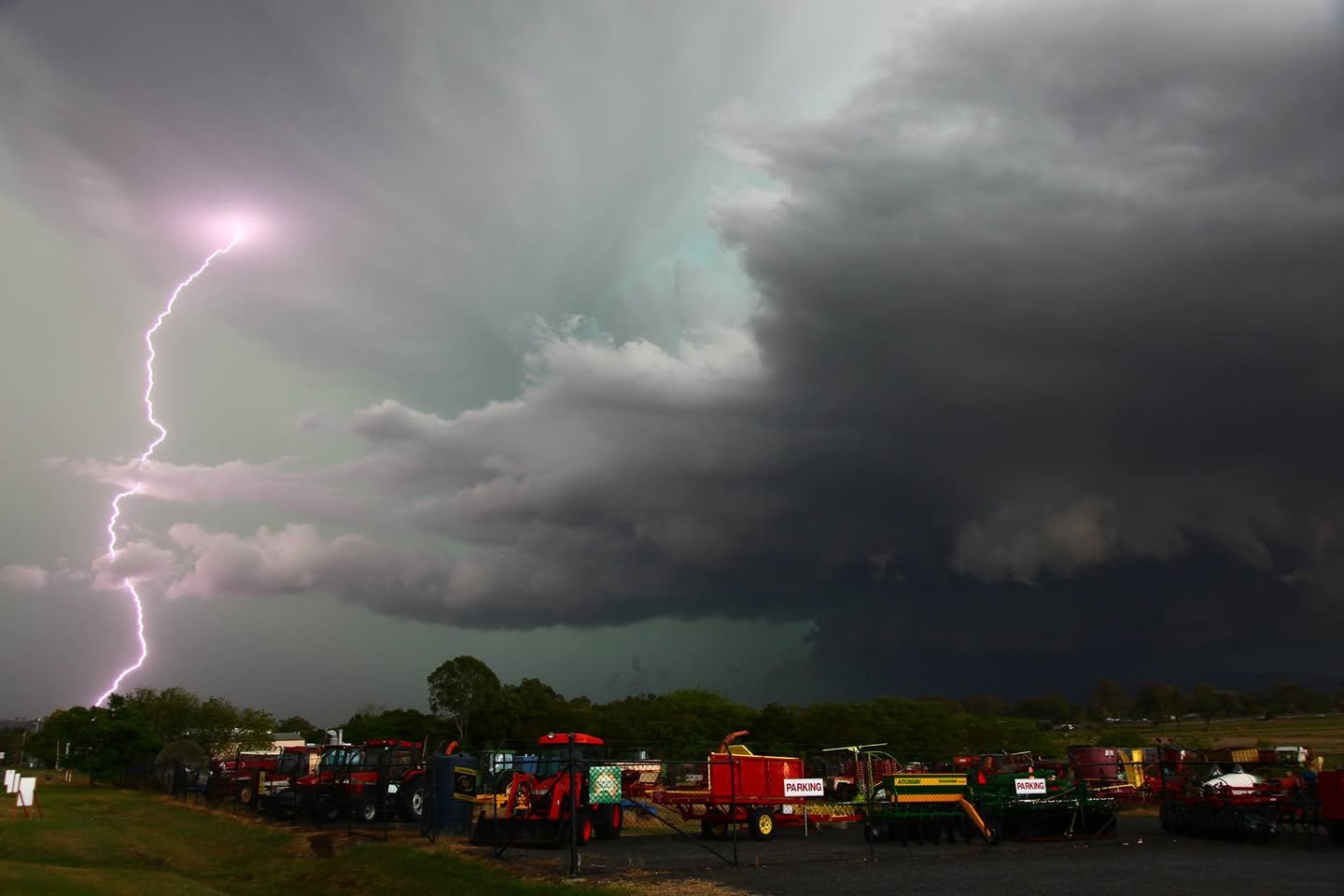
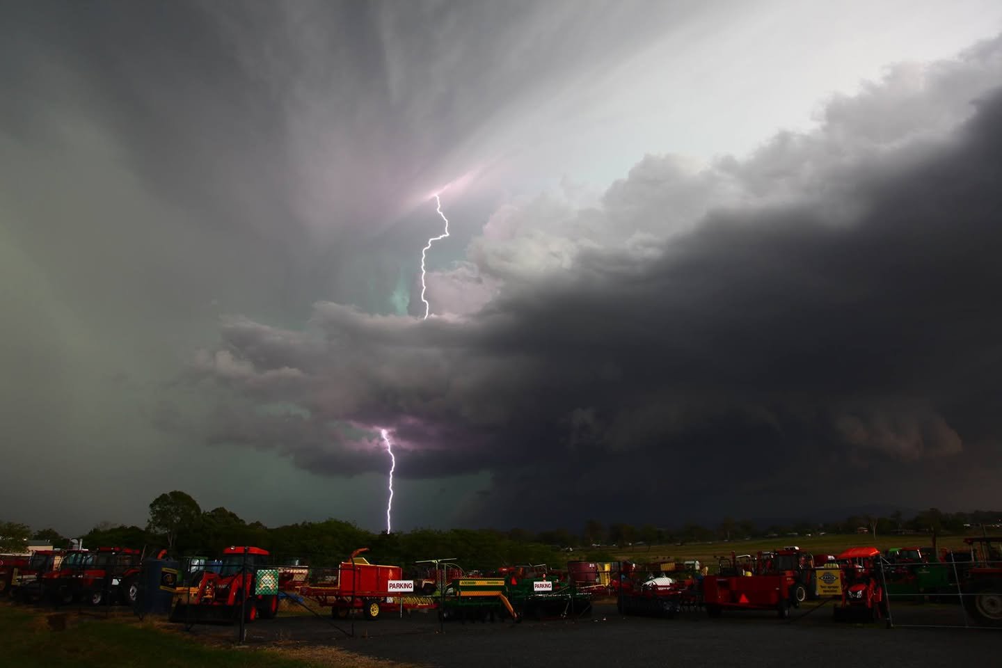
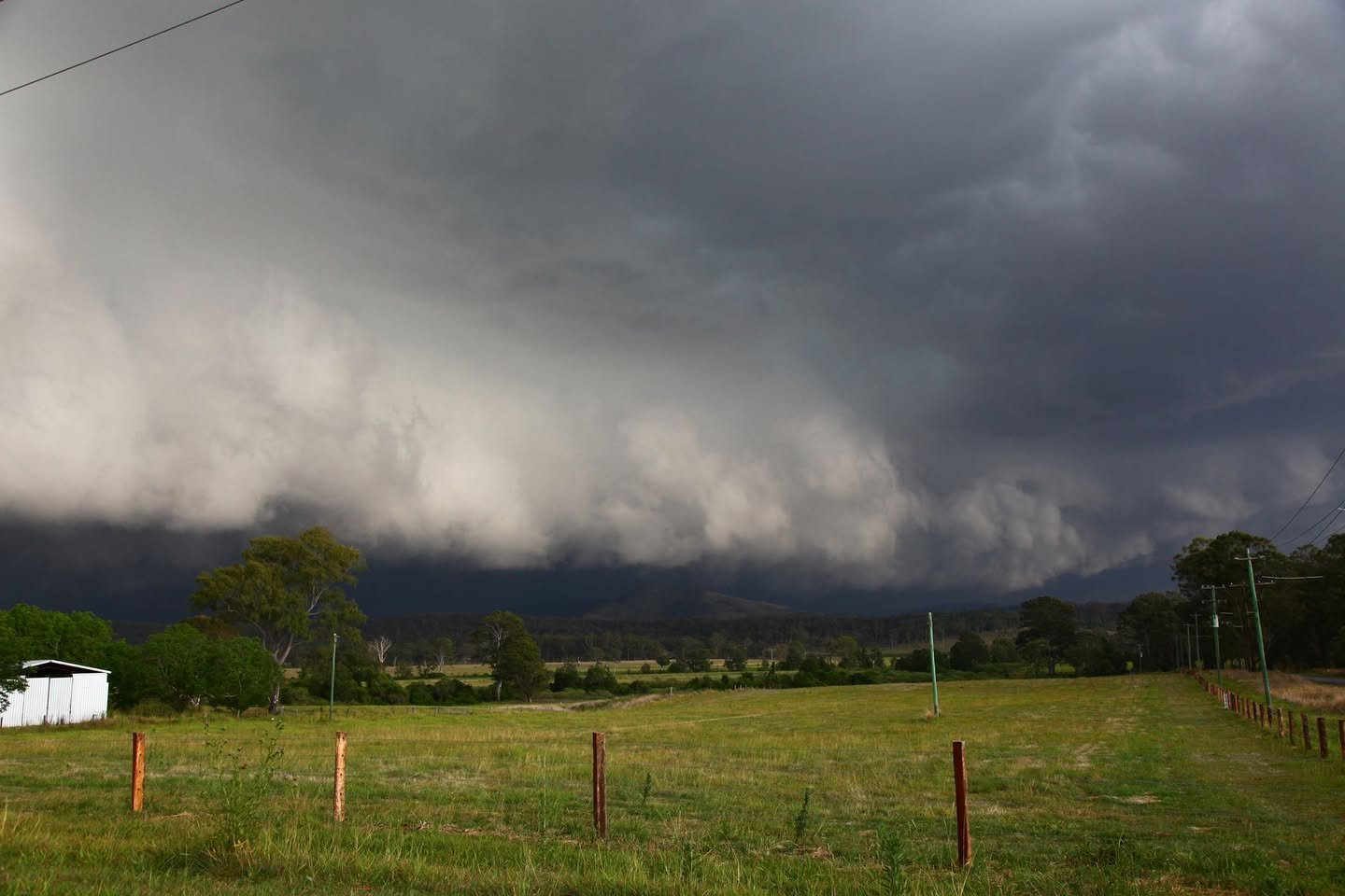
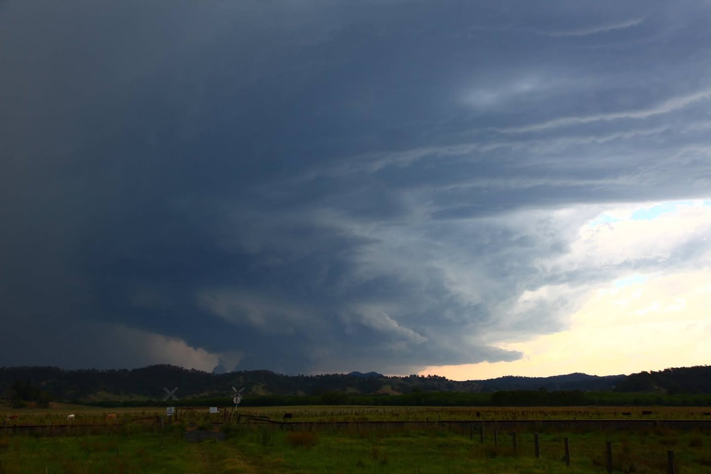
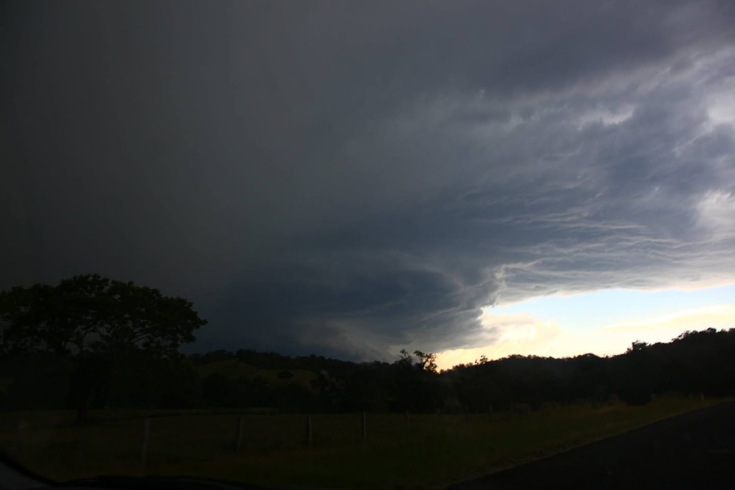
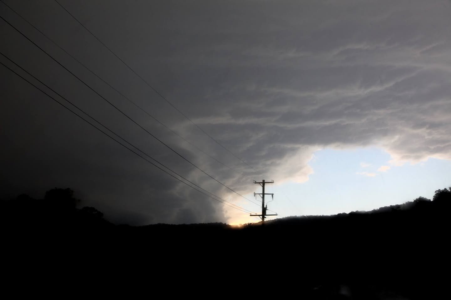
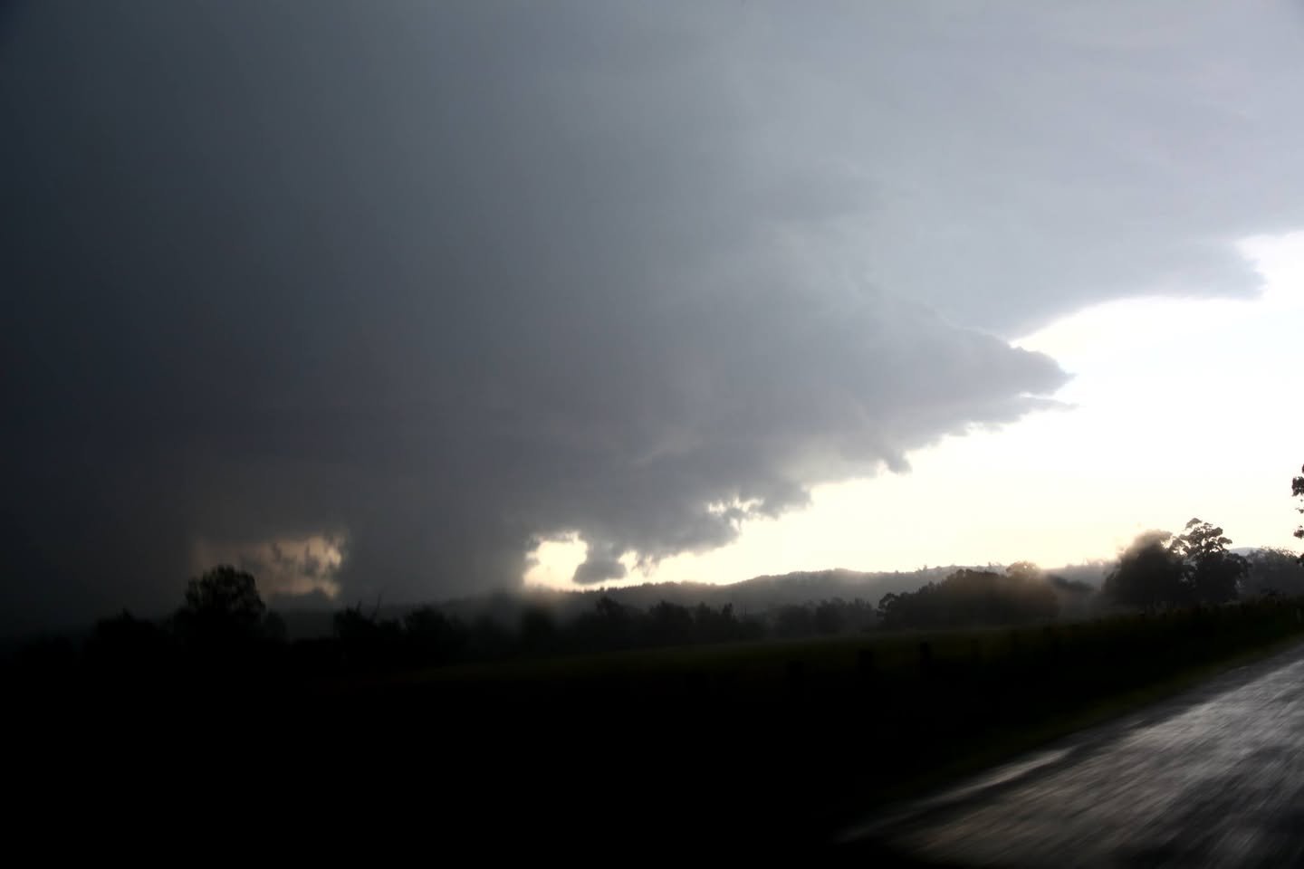
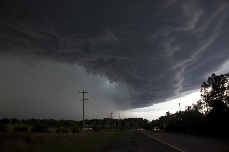
Some pictures from Kyogle to Beaudesert supercell. I missed the structure that Jason Paterson, James Harris and others got due to twice missing turn-offs which then took me into the hail – giant hail. I still enjoyed the chase because there was so much uncertainty as to the cap breaking and the structure showed textbook organisation! And it broke in spectacular fashion. Lightning was insane and dangerous! You were not safe outside I can assure you! One bolt literally hit a tree 10-20 metres away. Instant canon! Smoke rose briefly after impact! At least two fire balls on the hills the bolts being extremely energetic! Great day and also bringing out the adrenaline. I have not had any giant hail this season so this is the first! That was my target for this chase.
On the way up, after leaving 6am – dropping off the kids to my wonderful mother, drove non-stop up to Grafton, stopped for fuel and a quick meal as I headed north to save time and up the road police came past. He did not stop the car ahead of me – he stopped me! No I was not speeding not doing anything wrong. Ahh breath test. He then says in his American voice – “Can I have your drivers license please” – followed by “is your car registered” – how insulting (just cause my car is peppered with hail dents on every panel and looks like the surface of the moon can you judge me pal (i never told him that). Followed by “Why is your license expired?”
“Expired? I didn’t know?”
“Where are you headed?”
“Casino.” (Only one road north I guess).
The card said 3rd September 2016. “I will run a background check?” I took a bite of my meat pie but decided to throw it back down… Comes back and says that the expiry date had somehow scratched off the 8 to a 6! 2018. I was off on my way:) Basically drove straight through Casino into the storm.

15325153_10211660424216230_1643911216561577203_o 15288521_10211660424816245_6352116951879859661_o 15326162_10211660566379784_3284415097294326098_o 15272027_10211660561739668_129968012067764217_o 15325315_10211660568139828_5282701102057515858_o 15259352_10211660438696592_1839275820633652753_o 15271952_10211660310293382_1175892725282537738_o 15304233_10211660554899497_2415579095423735740_o 15259642_10211660577700067_8357396963220684748_o 15288700_10211660602780694_6354294741964613591_o 15271900_10211660603060701_8185303711188691734_o

Photos from the chase
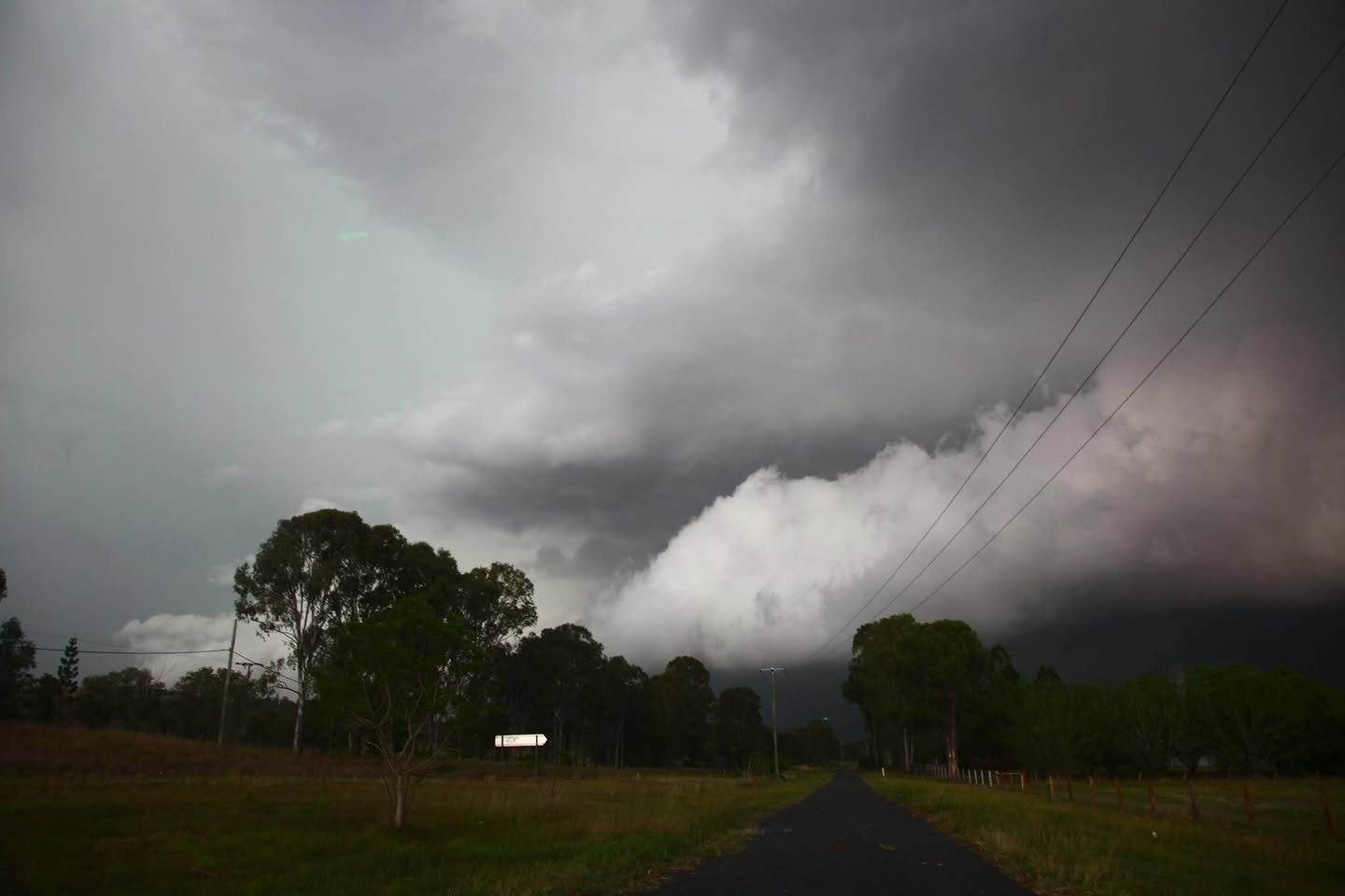
Lightning and supercell Beaudesert
Hail core with giant hail earlier Beaudesert
Very lightning active region and inflow feeding in to the mesocyclone - looking generally north
Very lightning active region and inflow feeding in to the mesocyclone – looking generally north
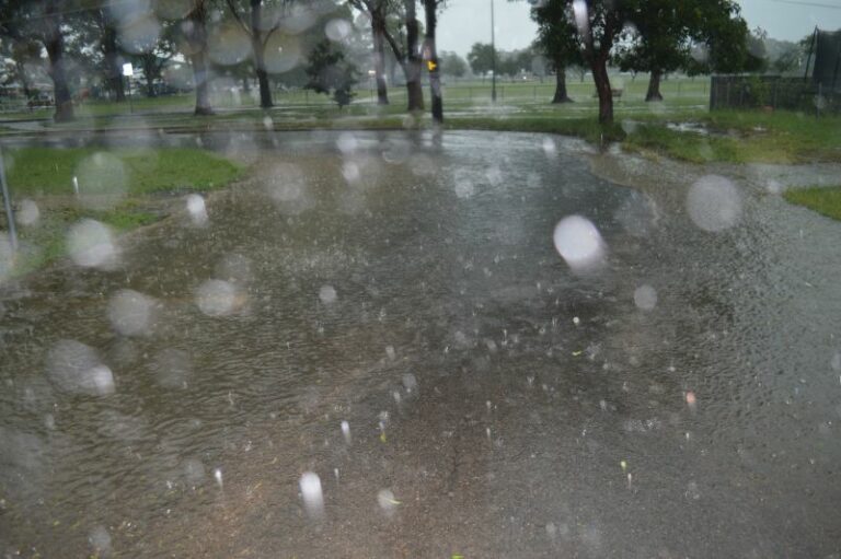
Giant hail falling - almost to the threshold of breaking windscreens
Giant hail falling – almost to the threshold of breaking windscreens
Lightning bolt illuminates wall cloud in supercell Beaudesert
Hot bolts were plenty!
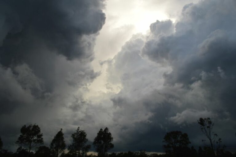
Inflow into the vault region
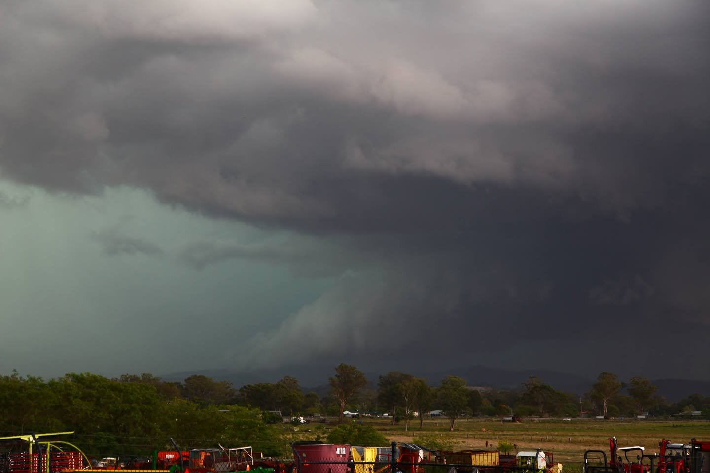
Green tinge and lightning in supercell Beaudesert
Lightning from the vault! - It is an excellent example of showing the 3D effect most storm chasers see.
Lightning from the vault! – It is an excellent example of showing the 3D effect most storm chasers see.
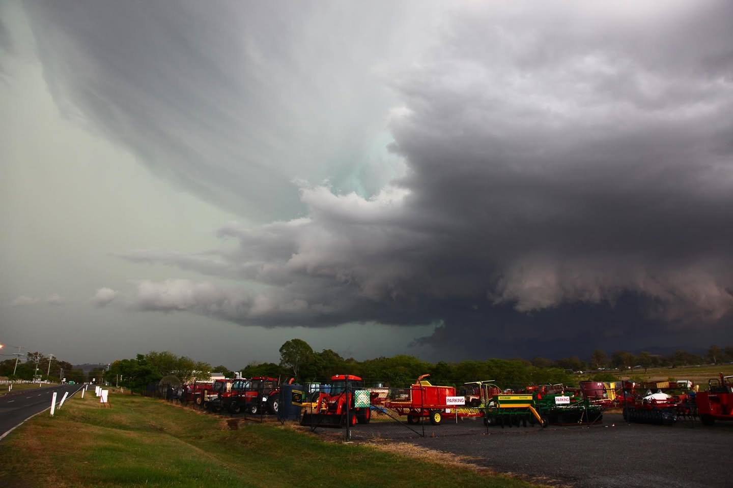
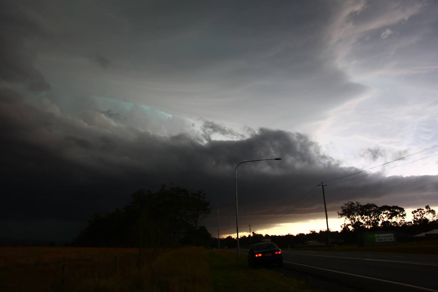
HP supercell structure with compact shelf cloud!
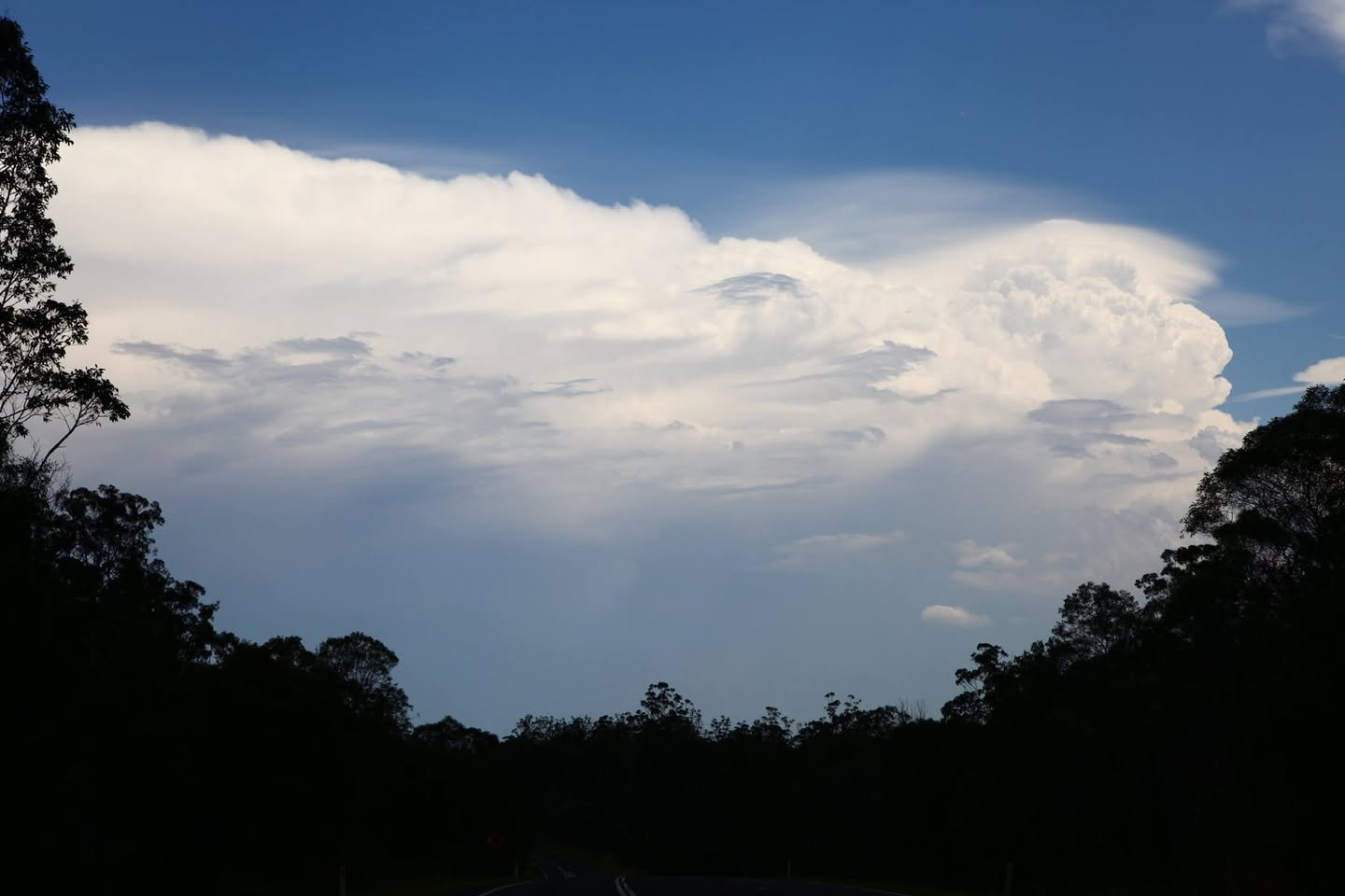
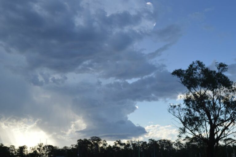
The Coffs Harbour storm exploding to the next level - although it weakened after overcome by cooler environmental flow.
The Coffs Harbour storm exploding to the next level – although it weakened after overcome by cooler environmental flow.
Kyogle supercell
Kyogle supercell
Supercell with wall cloud
Wall cloud and , NSWimpressive structure of the Kyogle supercell now near Wiangaree
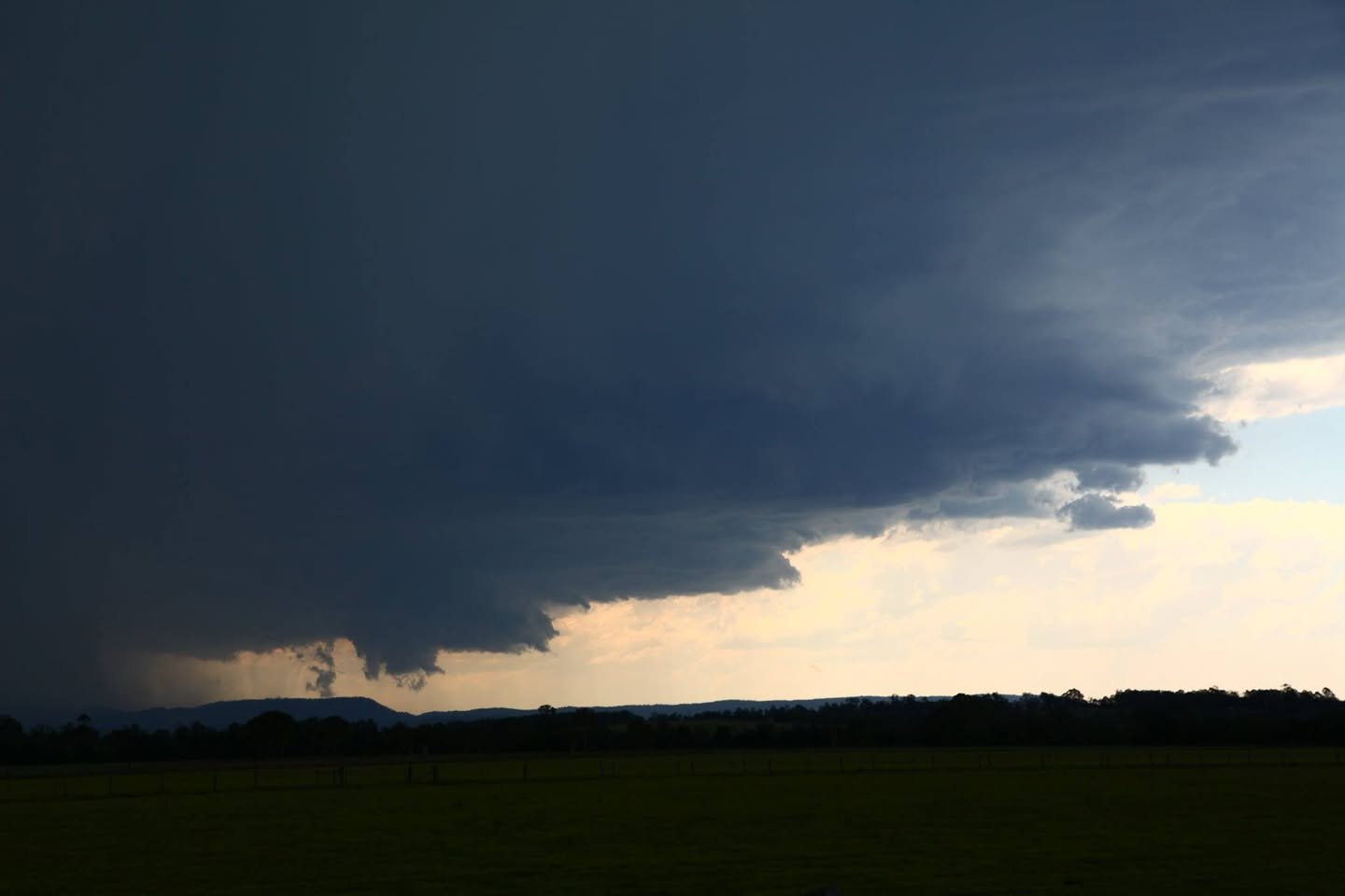
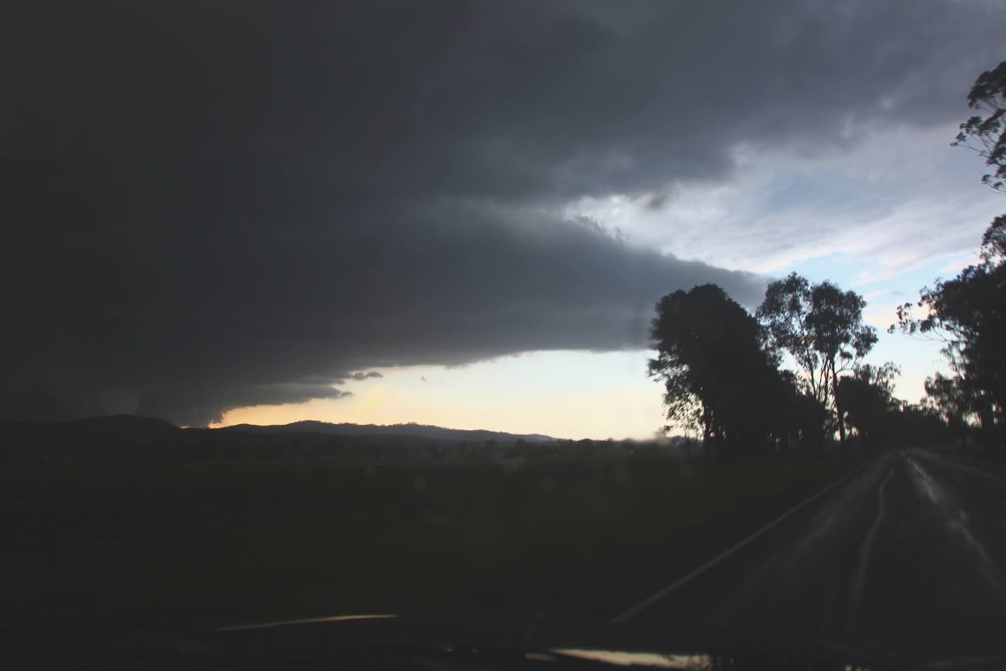
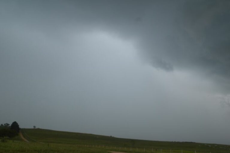
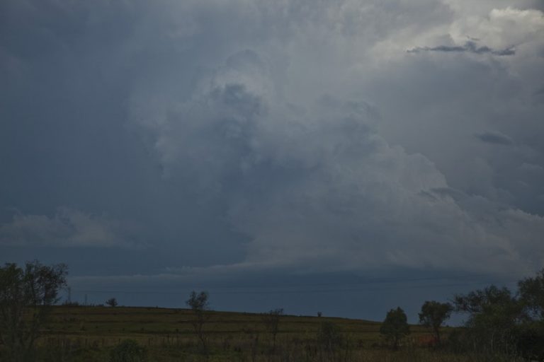
Supercell hiding behind the hills
Approaching the core of the supercell
Likely wall cloud - this was reported to be a tornado or have a tornado. I have not seen evidence of a tornado personally. Trees were down in the area according to those chasers. Can it be straight line winds after the wall cloud moved on? I have not seen doppler for this event or this specific stage.
Likely wall cloud – this was reported to be a tornado or have a tornado. I have not seen evidence of a tornado personally. Trees were down in the area according to those chasers. Can it be straight line winds after the wall cloud moved on? I have not seen doppler for this event or this specific stage.
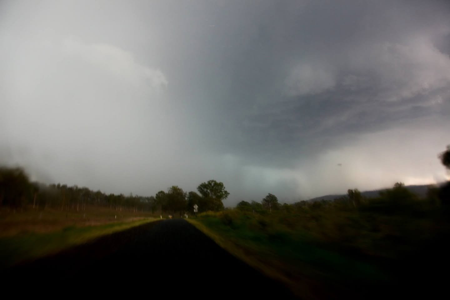
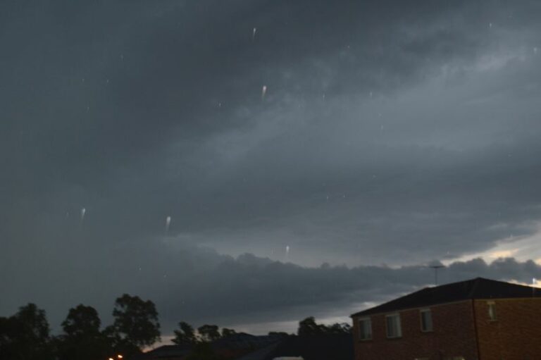
Out of focus due to motion and low light. But it shows the hail shafts and notch region.
Green tinge spells hailstones - in this case likely giant hailstones were imminent. Hail did follow shortly after this shot.
Green tinge spells hailstones – in this case likely giant hailstones were imminent. Hail did follow shortly after this shot.
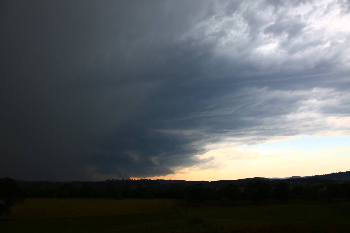
Inflow and an observable wall cloud bottom left.
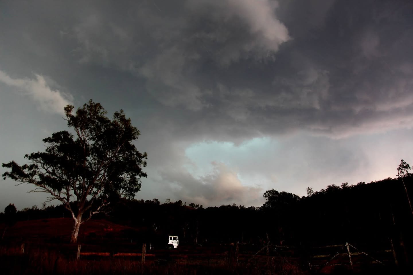
Supercell with inflow and vault region. Very lightning active region!
Likely wall cloud in the supercell base as it approached Beaudesert
My car staring at a menacing supercell
Open the storm map around Beaudesert, QLD

More storms near Beaudesert, QLD

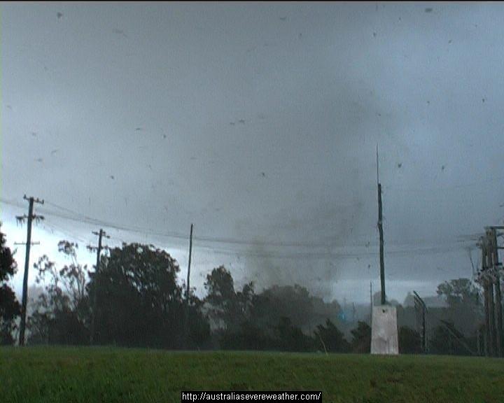
Heavy Rainfall impacts Southeast Queensland and Northeast New South Wales – 17 and 18 May 2026 23 May 2026 · Gold Coast / SE Queensland Brisbane’s 300 mm Sunday deluge – Now the cleanup begins – Sunday 9 March 2025 15 Mar 2025 · Bongaree, QLD Ex Tropical Cyclone Alfred – The aftermath continues includes images Bellinger Valley NSW – Sunday 9 March 2025 9 Mar 2025 · Bongaree, QLD Tropical Cyclone Alfred – Makes landfall and nears its end SE Queensland and NE New South Wales – 8 March 2025 8 Mar 2025 · Bongaree, QLD Former Tropical Cyclone Alfred – Possible east coast low and rain event QLD / NSW March 3 to 12 2025 2 Mar 2025 · Bongaree, QLD New tropical cyclone off Queensland Coast – Sunday 23 February 2025 23 Feb 2025 · Bongaree, QLD A week of thunderstorms – Eastern Australia between November 8 and November 17 2024 17 Nov 2024 · Eastern Australia Queensland – A week of heavy rain / storms and floods from 28 January to 3 February 2024 3 Feb 2024 · Queensland Heavy rain, storms and flooding – North East New South Wales and South East Queensland – 1 – 2 January 2024 5 Jan 2024 · NE NSW / SE Queensland Major thunderstorm outbreak Eastern Australia – December 24 to December 27 28 Dec 2023 · Eastern Australia Quick teaser from yesterday, after the structure shot. Taken about 2km outside of Beaudesert hand held through the window of the car…way too danger… 23 Dec 2023 · Beaudesert, QLD 26th October 2007 Daniel Shaw assisted me (yes way way back) to get footage world wide of an up close personal tornado and debris hitting a substation… 17 Jan 2023 · Dunoon, NSW

All storm reports from Beaudesert, QLD →

Also on 5 December

Add a comment

After the storm Hail damage repair Hail dents removed from behind, factory paint kept. Hail Dent Repair. Chase with us Chase a storm for real Guided storm chasing tours in Australia and Tornado Alley. See Thunderbolt Tours.
Coming soon Radar and storm forecasting Live radar tools and severe storm forecasts from the Extreme Storms team.