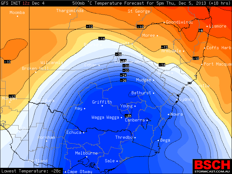
 Depending where you are in NSW or Victoria today, this system’s influence is impressive. Temperatures at 500hPa over Sydney for instance will drop in just 6 hours from -14C to -24C by 06Z or 5pm this afternoon. This is rather impressive destabilisation. Rain totals down in SE NSW are impressive and there should be snow on the higher peaks of the Snowy Mountains. I would not be surprised with such cooling that a few storms will develop but with higher bases due to lack of moisture.
Snow
General Weather · Snow
Storms, Rain and Snow 5th December 2013
More storms near Perisher Valley, NSW
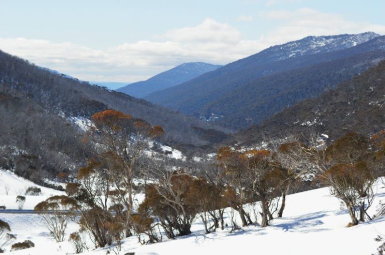 Strong cold front / rain / wind / snow and cold weather – Southern Australia 1 – 11 June 2022
12 Jun 2022 · Charlotte Pass, NSW
Strong cold front / rain / wind / snow and cold weather – Southern Australia 1 – 11 June 2022
12 Jun 2022 · Charlotte Pass, NSW
 Got burnt today – moisture cleaned out from Canberra. Got a couple of cells near…
17 Sep 2020 · Bredbo, NSW
Got burnt today – moisture cleaned out from Canberra. Got a couple of cells near…
17 Sep 2020 · Bredbo, NSW
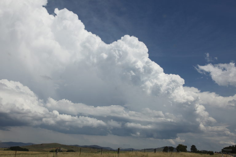 Storms Bredbo 17th December 2017 – Extreme Storms
17 Sep 2020 · Bredbo, NSW
Storms Bredbo 17th December 2017 – Extreme Storms
17 Sep 2020 · Bredbo, NSW
 Firefighter died after winds lifted 10-tonne truck off the ground in ‘freakish weather event 31st December 2019
31 Dec 2019 · Jingellic, NSW
Firefighter died after winds lifted 10-tonne truck off the ground in ‘freakish weather event 31st December 2019
31 Dec 2019 · Jingellic, NSW
 Storms Bredbo 17th December 2017
17 Dec 2017 · Bredbo, NSW
Storms Bredbo 17th December 2017
17 Dec 2017 · Bredbo, NSW
 ACT, Southern NSW and NE Victoria rain event 1 and 2 August 2015
2 Aug 2015 · Cabramurra, NSW
ACT, Southern NSW and NE Victoria rain event 1 and 2 August 2015
2 Aug 2015 · Cabramurra, NSW
 Lack of winter snows storms for Australian Alps – June 2015
27 Jun 2015 · Australian Alps, NSW
Lack of winter snows storms for Australian Alps – June 2015
27 Jun 2015 · Australian Alps, NSW
 Cold Weather and Snow Outbreak South East Australia 1 to 4 June 2015
3 Jun 2015 · Snowy Mountains, NSW
Cold Weather and Snow Outbreak South East Australia 1 to 4 June 2015
3 Jun 2015 · Snowy Mountains, NSW
 Strong cold front Vic / NSW – Cold and possible snow to Victorian Alps 6 and 7 April 2015
5 Apr 2015 · Victorian Alps
Strong cold front Vic / NSW – Cold and possible snow to Victorian Alps 6 and 7 April 2015
5 Apr 2015 · Victorian Alps
 Signficiant Weather and Rainfall Event 15th November 2014
9 Nov 2014 · Thredbo, NSW
Signficiant Weather and Rainfall Event 15th November 2014
9 Nov 2014 · Thredbo, NSW
 NSW Storms 22-26th of January 2013
21 Jan 2013 · Southern Tablelands & South Coast, NSW
NSW Storms 22-26th of January 2013
21 Jan 2013 · Southern Tablelands & South Coast, NSW
 Storms and rain for eastern NSW and Victoria 7th November 2012
7 Nov 2012 · Bombala, NSW
Storms and rain for eastern NSW and Victoria 7th November 2012
7 Nov 2012 · Bombala, NSW
All storm reports from Perisher Valley, NSW →
Also on 5 December
Chasing fire tornadoes with Nick Moir – Central News
5 Dec 2023
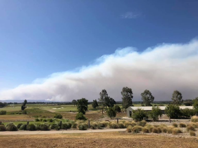 The Gosper Mountain Fire Emergency 5th December 2019
5 Dec 2019 · Gospers Mountain fire, NSW
The Gosper Mountain Fire Emergency 5th December 2019
5 Dec 2019 · Gospers Mountain fire, NSW
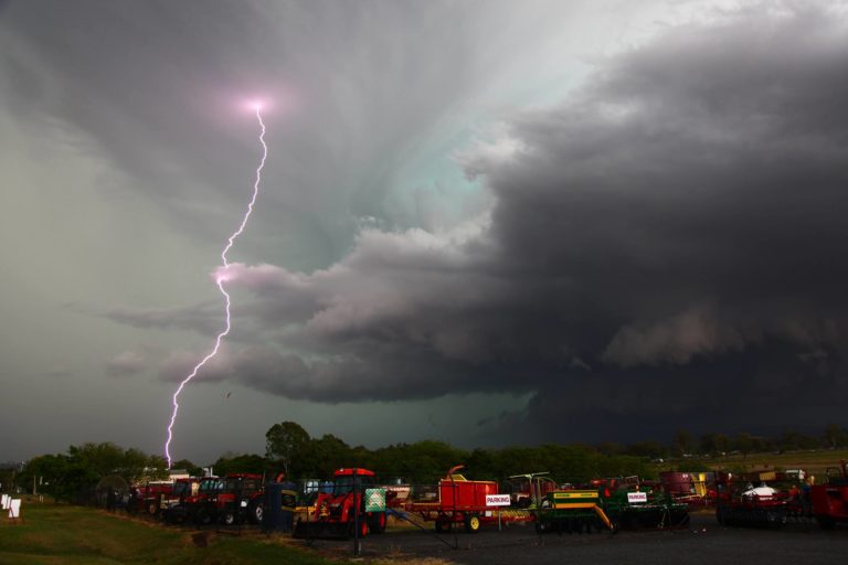 Kyogle to Beaudesert supercell 3rd December 2016
5 Dec 2016 · Beaudesert, QLD
Kyogle to Beaudesert supercell 3rd December 2016
5 Dec 2016 · Beaudesert, QLD
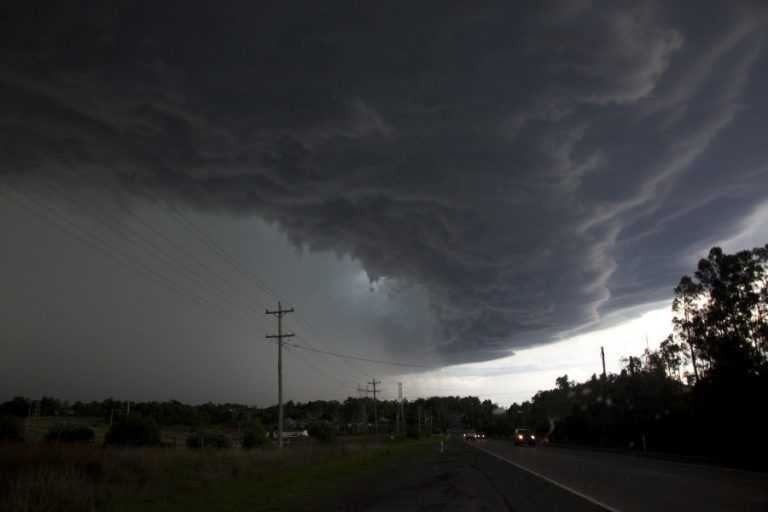 Spectacular Storms hit Sydney 5th December 2014
5 Dec 2014 · Horsley Park, NSW
Spectacular Storms hit Sydney 5th December 2014
5 Dec 2014 · Horsley Park, NSW
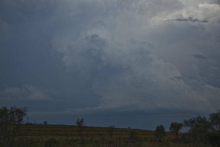 Severe Storms Southern Tablelands 4th December 2014
5 Dec 2014 · Bundanoon, NSW
Weather models placing storm chances throughout the week
5 Dec 2006 · Sydney, NSW
North Coast ridge of high pressure eliminates storm chances
5 Dec 2006 · Northern Rivers, NSW
Severe Storms Southern Tablelands 4th December 2014
5 Dec 2014 · Bundanoon, NSW
Weather models placing storm chances throughout the week
5 Dec 2006 · Sydney, NSW
North Coast ridge of high pressure eliminates storm chances
5 Dec 2006 · Northern Rivers, NSW
The Gosper Mountain Fire Emergency 5th December 2019
5 Dec 2019 · Gospers Mountain fire, NSW
Kyogle to Beaudesert supercell 3rd December 2016
5 Dec 2016 · Beaudesert, QLD
Spectacular Storms hit Sydney 5th December 2014
5 Dec 2014 · Horsley Park, NSW
Severe Storms Southern Tablelands 4th December 2014
5 Dec 2014 · Bundanoon, NSW
Weather models placing storm chances throughout the week
5 Dec 2006 · Sydney, NSW
North Coast ridge of high pressure eliminates storm chances
5 Dec 2006 · Northern Rivers, NSW
5 comments
Add a comment
You must be logged in to post a comment.
A line of storms did come through to the ranges west of Sydney with a severe thunderstorm warning for wind this afternoon. More storms developed in the cold air mass as the destabilisation became evident. Another storm line moved through the Gippsland region as well. I assume substantial snowfalls are occurring over the Snowy Mountains. this evening and tonight.
This weather system produced some interesting phenomena as it passed over as follows:
Rainfall
Much of inland NSW and Victoria has been dry over the past two months of October and November. This event has brought probably desperately needed rain to many areas. The heaviest rainfall occurred along the spine of the Great Dividing Range of Victoria and southern New South Wales which includes:-
Mt Hotham – 77 mm.
Mt Buller – 71 mm.
Falls Creek – 68 mm.
Perisher Valley – 65 mm.
Harrietville (Vic) – 63 mm.
Lake William Hovell (Vic) – 61 mm.
Thredbo – 56 mm.
An area to the west including the more rugged country of NE Victoria enjoyed falls ranging from 25 to 49 mm with the best falls including 47 mm at Tatong, 44 mm at Corryong, 42 mm at Broken Weir and Koetong (All in Victoria).
The good falls spilled over into southern NSW with the best falls occurring at Deniliquin Airport 46 mm, Booroorban 45 mm and Wakool 37 mm. All places along the southern border of the state received something which broke the dry spell.
I have attached the above rainfall map of Victoria showing where the rainfall was concentrated (BOM 5/12/2013).
There were storms elsewhere producing rainfall totals but by far, the best falls were concentrated in the NE region of Victoria and the southern border districts of NSW. This did spill over into parts of Gippsland but the falls were not as great.
Wind
This had a greater impact on Sydney than the morning showers that occurred that brought anywhere from 2 to 8 mm across the city.
During the afternoon of 5/12/2013, parts of Sydney did experience some significant wind gusts. I have looked at a small number of local weather stations to show what occurred and provide the following:-
Camden – A peak wind gust of 106 km/h occurred at 2.44 pm and again at 2.46 pm (Two gusts of this strength occurred). There was another gust of 91 km/h at 2.41 pm. The local weather station for Camden shows average wind gusts of between 59 km/h and 69 km/h from 2.41 pm to 2.46 pm with the peak gusts of 106 km/h occurring during this time.
There was another strong gust of 89 km/h at 2.54 pm at this weather station.
Penrith – A peak wind gust of 74 km/h occurred at 2.02 pm and another peak gust of 76 km/h occurred at 2.05 pm.
Belambi (Illawarra)- A peak wind gust of 76 km/h occurred at 2.25 pm and again at 2.30 pm.
Katoomba – The locality saw peak wind gusts to 80 km/h at 1.32 pm and another gust of 82 km/h at 5.01 pm.
This did bring down some trees and I noted a tree had fallen down in the unit block complex where I live and I passed a fallen tree at Granville today on the way home.
It is understood from reading newspapers that parts of Hornsby were affected by power loss caused by fallen trees and a wind gust of 93 km/h occurred at Badgereys Creek.
So while Sydney escaped the heaviest rain, the city was lashed by high winds for a period during the afternoon.
Cold and snow
Worth a mention. Places that were elevated enough mainly the Snowy Mountains of NSW and the High Country of Victoria was cold enough to experience snow. Not unusual for summer as it does snow here in summer but it is unusual to receive a serious dumping of snow at this time of the year.
I have looked at two weather stations in this area to show how cold it was being:-
Cabramurra:- Australias highest town. The minimum temperature fell to minus 0.7C at 6 am 6/12/2013.
Thredbo (Crackenback at 1,957 metres in elevation). The minimum temperature fell to minus 4.4C at 5.30 am.
There was snow on the ground with the snow cams showing a significant fall on 5/12/13 and overnight. The snow cams were only showing some melting on the lower sopes during the afternoon with plenty of snow cover at elevated areas.
The snow cam photo attached for 6/12/2013 for Perisher shows how much snow occurred till 6 am this morning at sunrise at Perisher. Effectively enough to ski on only three weeks from Christmas.
It does show how much moisture was available and how cold it was here overnight to produce this scene and many others in the area.
The snowy scenes were repeated across NE Victoria down to reasonable levels.
It should also be pointed out that the cold reached the Blue Mountains west of Sydney with minimum temperatures near 3C at Katoomba for 6/12/2013.
This is only a brief summary of what occurred but it is a significant weather system for December producing varied weather depending on location.
This system did produce thunderstorms in some parts of NSW especially around Griffith (NSW) and near Gunnedah on the NW slopes and plains.
The event was generally short lived taking no more than two days to cross the whole of NSW and Victoria.