
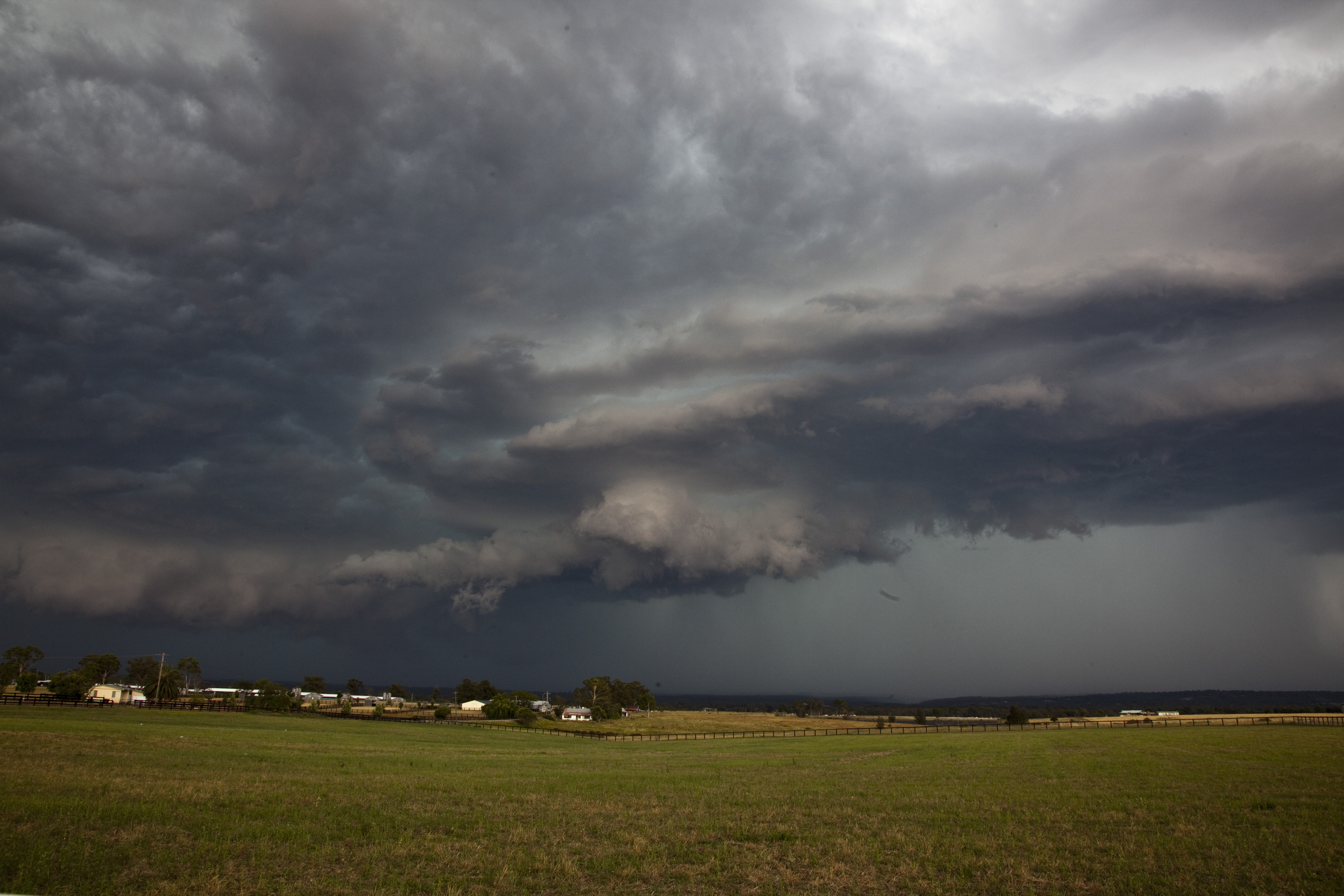
Began the day Sydney and headed south enroute to Braidwood but stopped short of there due to existing activity. A southerly outflow had created a boundary that fired activity north of Canberra and more around the Yass to Goulburn region. After heading towards Gunning from Lake George for the first cell of the day, we made our way to Marulan where a storm intensified. The storms remained either near the escarpment or other storms fired further west along the ranges. 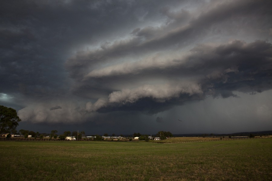

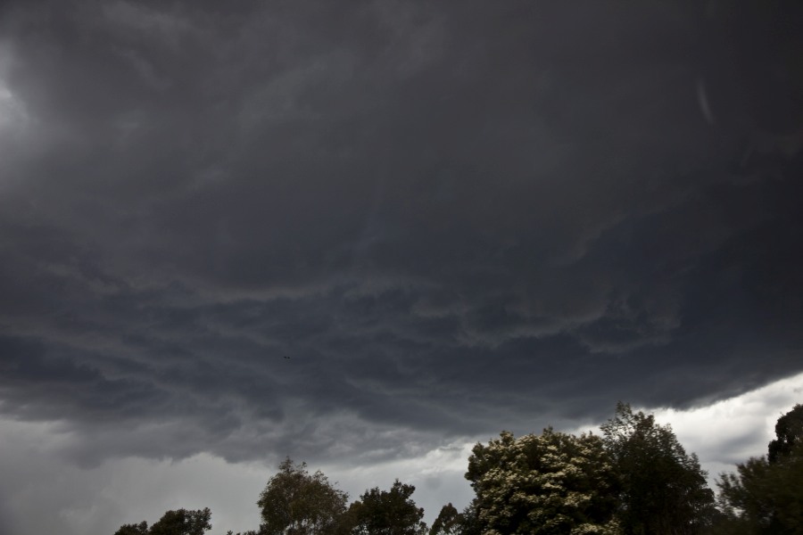
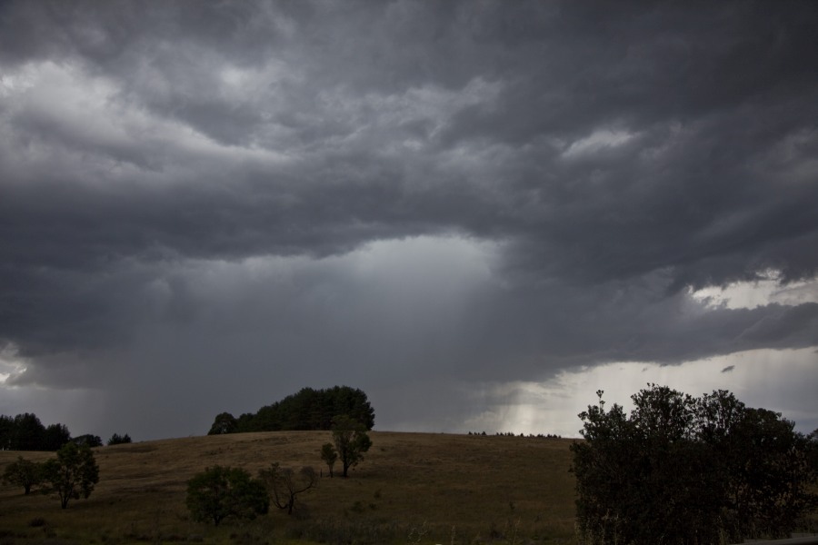
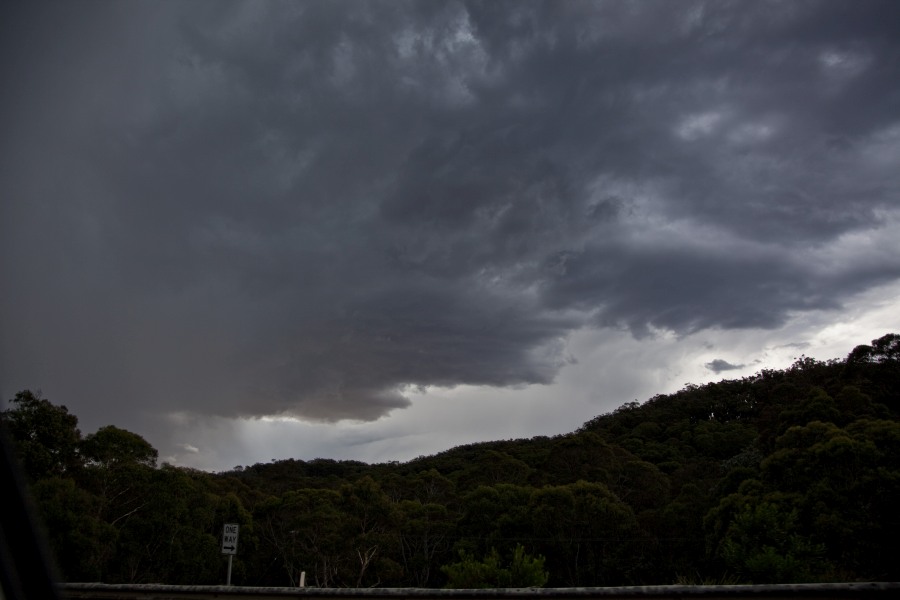
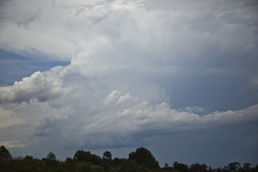
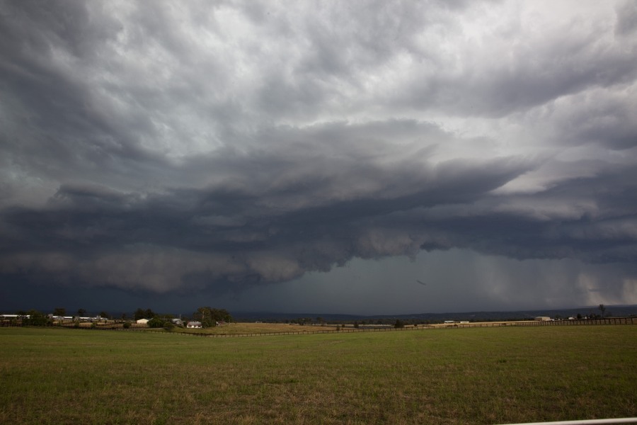
 Finally, a cell was observed over the central Sydney region but as we approached it rapidly weakened undercut by the initial boundary that it developed upon. Our attention was diverted to an intensifying cell over Warragamba Dam region. This cell intensified rapidly and showed some impressive structure! And the contrast – sensational. Bolts descended from the base and pierced the mountain range several times. A consolidated and striated shelf cloud appeared and approached with possible localised rotation on the forward flank and within what appeared to be an inflow notch region. The storm then became quickly outflow dominant!















A fantastic chase with Jimmy and yes it was worth the effort. The last storm of the day made the chase and worthy of the long drive.
Earlier Sunday I did two soundings around the Goulburn area and it was an area that showed an interest and promise for the afternoon. One of the storms intercepted occurred around Marulan east of Goulburn.
It was interesting to note how some storms became linear and in the end too many storm cells / shower cells competing for space but at least we kept abreast of it and concluded with the impressive structure near Luddenham.
Here are some photos from me from the chase.
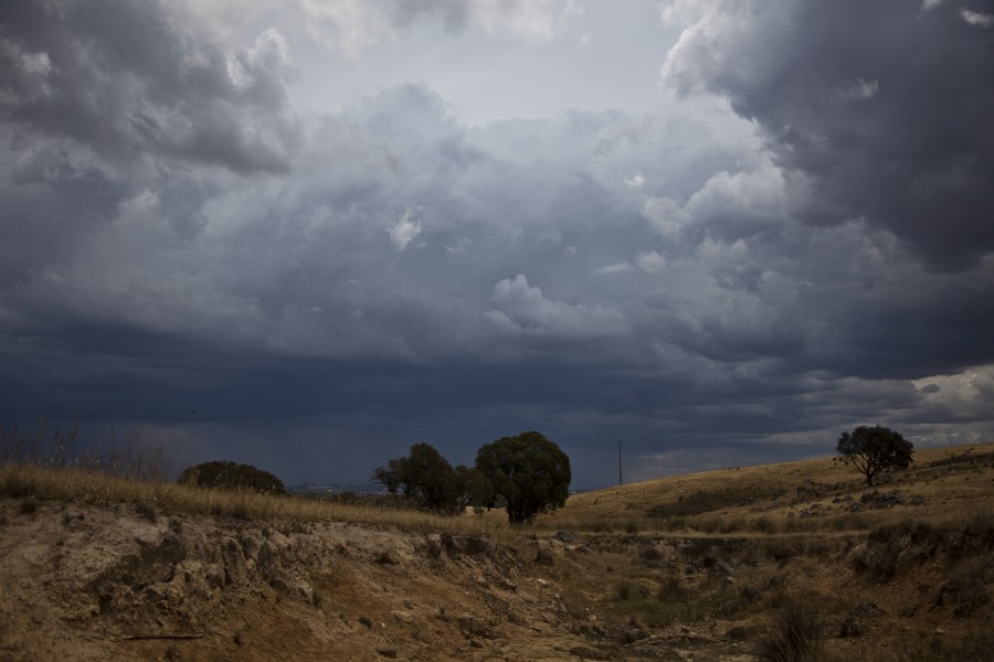
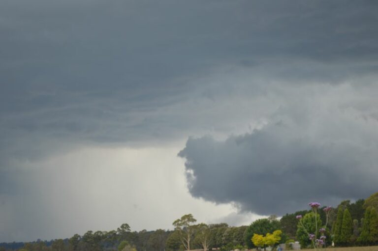
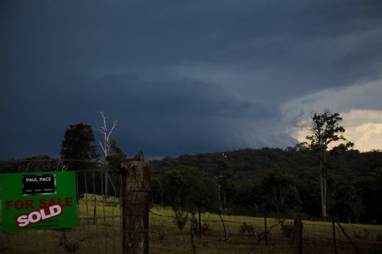
The first photo near Gunning shows this small cell.
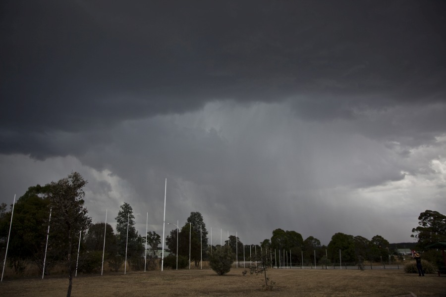
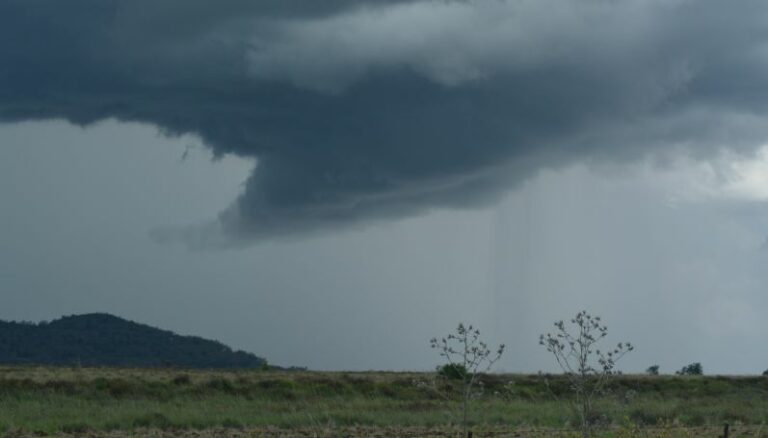
The storm cell over the lower Blue Mountains certainly dumped some rainfall. Up until 6 am 1/12/2014, some 32 mm at Warragamba although I suspect some of that would have occurred after this event from the evening rain.
There are also figures of 34 mm at Fitzroy Falls, and 44 mm at Barrengarry which is likely to have been underneath that cell that we could not catch.
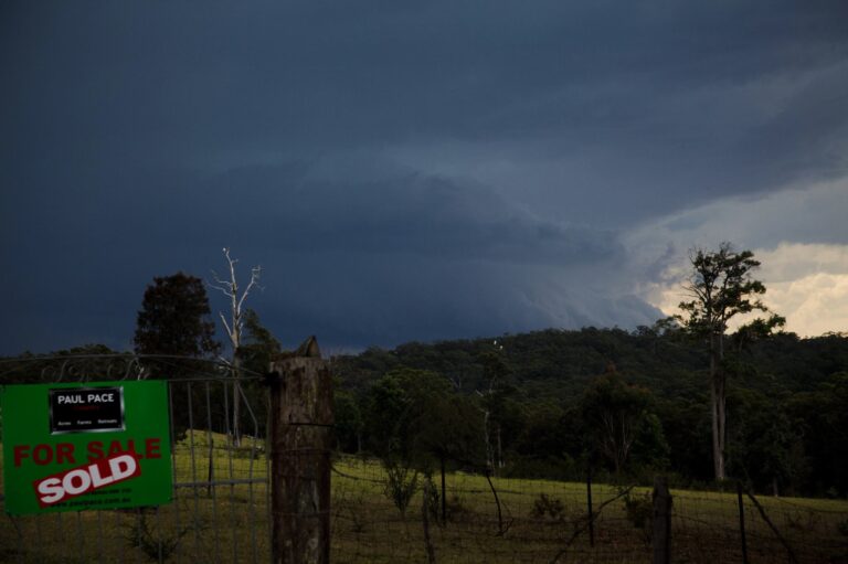
The last storm was by far the most impressive with some impressive lightning strikes, colourations, structure and contrast. It did become outflow dominant and weakened.
After dropping Jimmy home, I did see a few anvil crawlers across the sky.
Finally one of my favourites. This lightning strike and its shape. This was one of many to have occurred. Interesting, I noted more flashes and strikes at the northern side of the storm but less on the southern side. I was trying to get some from the southern side but struggled whilst the northern side produced more. I found that interesting.