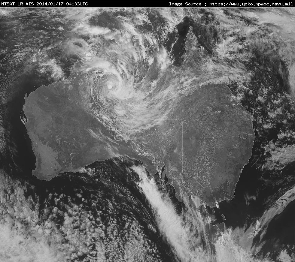
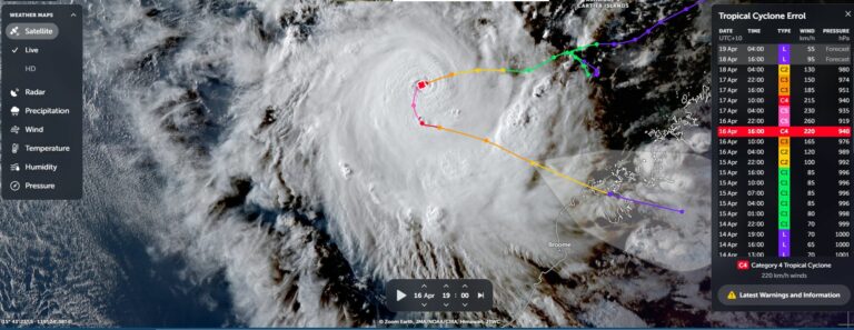
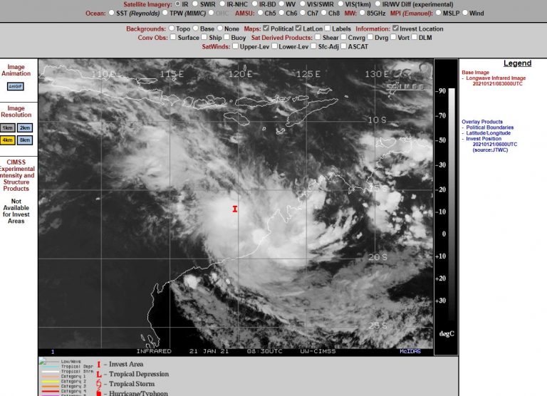
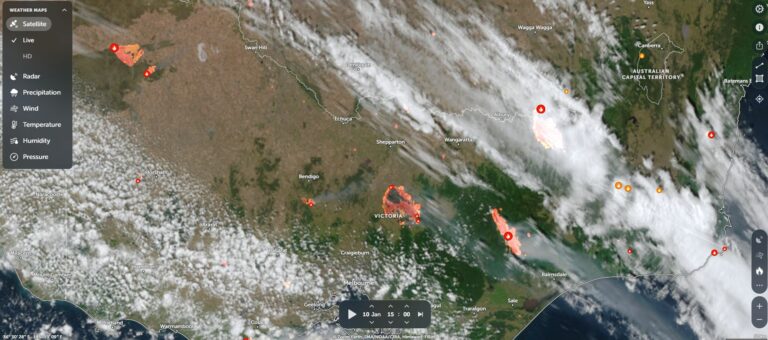
 In contrast to the bushfires down south, the tropical low continues to swirl over the top end of Australia with very heavy rainfall across the region disturbing the parched dust after the extensive heat in the past few weeks! This low is expected to progress south to southwestwards into northwestern Australia.
Flood Watches and Advices are in place for the regions affected.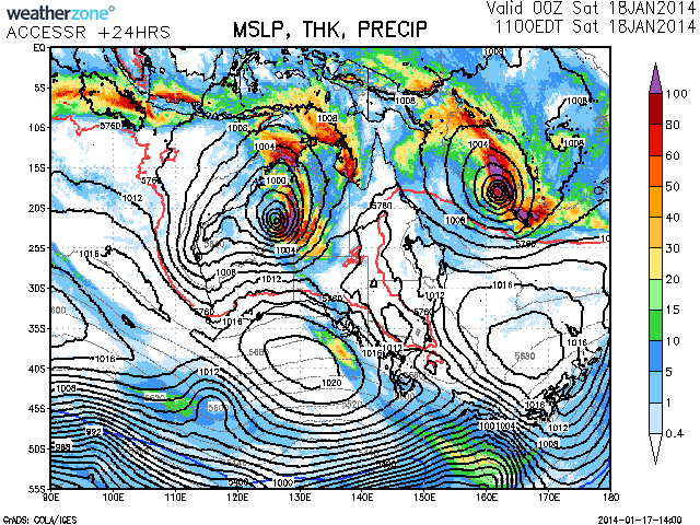
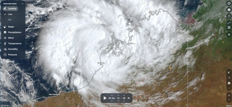
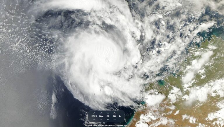

Tropical Lows and flood watches for the Top End!
This low will really help shift summer to a more monsoonal phase by taking the extreme heat out of the north west and bringing in so much moisture. I'm excited to see some monsoonal rain down our way soon!