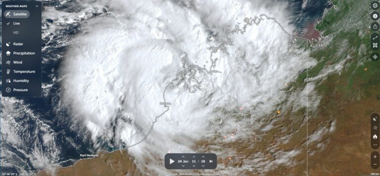
An unusual late season tropical cyclone within Australian waters off the northwest coast of Western Australia has become a rather unusual storm system due to its behaviour.
At first, the storm struggled to form but finally gained strength during Wednesday and Thursday as it tracked slowly southwest off the Western Australia Coastline. In particular:
- The storm was not expected to exceed a Category 2 system under the Australian Tropical Cyclone Intensity Scale when the first forecasts were made.
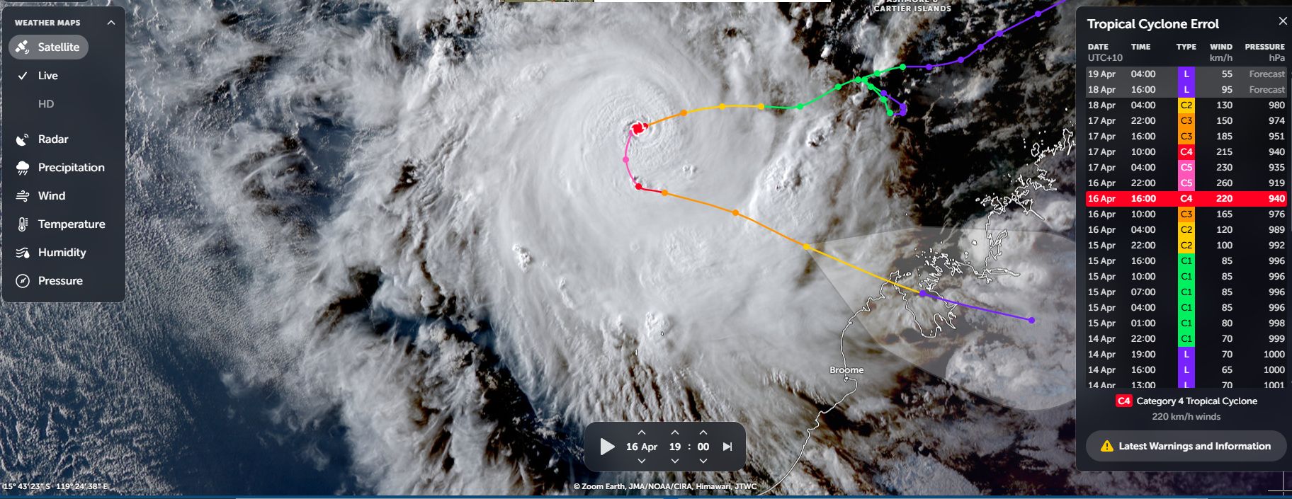
However, the storm briefly reached Category 5 under the Australian Tropical Cyclone Intensity Scale and the Saffir Simpson Scale during Thursday. Thus, the strength of the storm far exceeded initial expectations.
- Over the past 24 hours, the storm stopped moving south westward, completely changed direction and started to travel southeast.
After peaking in intensity during Thursday, the storm is now going through a rapid weakening phases due to shear and dry air intruding into the system. The storm is now weakening to a Category 1 system as it approaches the coastline. The storm may only cross the coastline as a category 1 system or at tropical storm strength.
The system may have had peak wind gusts to 260 km/h at peak intensity during Thursday but this occurred far enough out to sea and over an area lacking official weather stations.
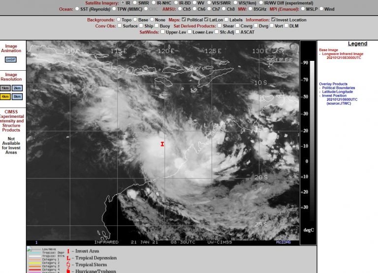
CIMSS models clearly showed the storm forming over oceanic waters heated to 30C and 31C and with peak wind gusts to at least 140 knots (259 km/h).
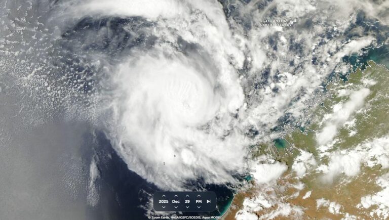
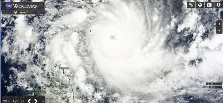
The images from NASA (Zoom Earth) shows an eye and solid convection at peak intensity with new thunderstorm cells across the width of the system. While reasonably small, it is clear that this became a powerful storm albeit briefly.

Had the storm made landfall at this intensity, this could have been a significant weather event. Fortunately, when landfall does occur, its power would be much diminished and such landfall should occur over a sparsely populated region northeast of Broom (Western Australia) at or near Cape Leveque.