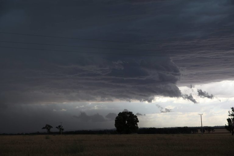
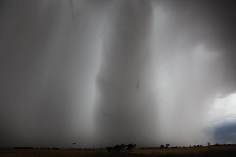
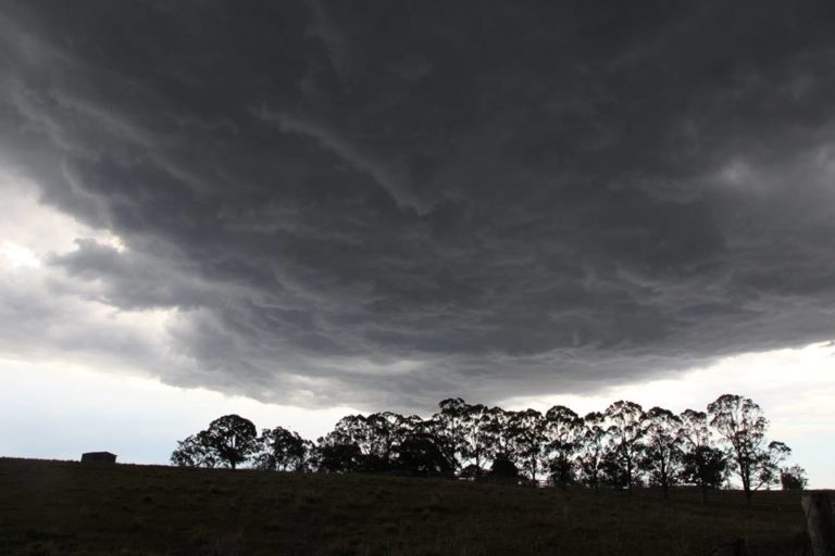
Yesterday, around Broome there were a few thunderstorms. Not sure about the severity or structure of these thunderstorms but one standout feature was the amount of CAPE. In the unmodified morning sounding, CAPE was ~4000 j/kg based on a temp/dew point of 30.3/25.4. The maximum temp/dew point yesterday in Broome was 33.6/26.5 which give a surface-based CAPE of ~6000 j/kg. It was worth mentioning however that the low-level moisture was quite shallow (approx. lowest 50 mbar in morning sounding).
I have long believed that NW WA is the home of extreme CAPE in Australia. A strong capping inversion is usually present and it is not uncommon to have very rich dew points in the lowest 50 mbar. It might be interesting to keep an eye on tomorrow as well.