Some very nice images there MB and Pato! That CG is fantastic and certainly the shot of the day.
Cam and myself were undecided whether to chase the 11th of August due to the sounding being very dry in the lowers early that morning. Most of the moisture on GFS actually was great around area's of the Sunshine Coast and Wide Bay. We decided to take a chance anyway just for the fact of any decent showers from the upper influence of the cold pool could produce rice sized hail.
Around lunchtime before we decided to take off we actually had a light shower pass over the area and hail overhead but it seems very 'virga-ish' with most of the precip evaporating as it encountered the drier lowers. Soon we noticed a very weak NE coming in right on the coastal fridge. This elevated the dew points by a few degree's which was a vital key for something solid to form. We were not sure if it was actually the seabreeze as such but could of been outflow moisture being pumped in from the cells offshore.
We picked where the dryline was roughly sitting on the northern edge of the current convection around the Border Ranges in hope of some explosive action as the moisture increased. Sadly it did not penetrate too far to the SW and all we got was high based showers with small hail falling from within the updraft. Looked crappy and totally unphotogenic.
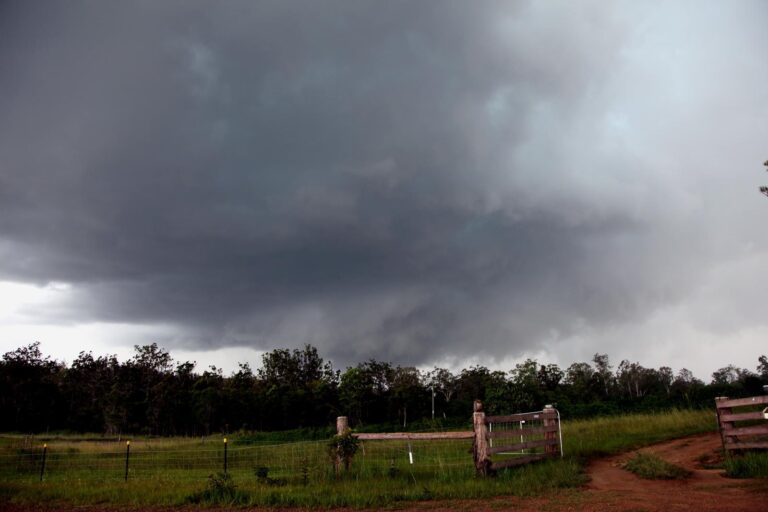
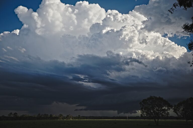
Around 3pm there was a weak line of showers moving NE across the Border Ranges and we wondered if there was enough available moisture right on the coast for the line to fire into a thunderstorm. 48 minutes later the cell 'nuked' and displayed some of the most intense cauliflower features from the cold air that I have seen since Dec 30, 2008. We headed from Boonah-Beaudesert Road E to try and get as close as possible, and if close enough under the cell for hail assessment.
Here is an image of what the cell looked like when it first nuked on the coast. I love how in this image the bushfire smoke in the lowers makes for an interesting colouration. The twin barrel cores are looking quite healthy too at this stage and both anvils started to push out at this time.
From Beaudesert we tried to head further E towards Canungra to get a closer look at the two-cells which were now backsheering to the SE. We noticed some nice base features the closer we got however the cell slid off the ranges and to quick to chase it.
At this point the cell was right on the coast and we noticed this was the same time that the hailstorm to the SW of Lismore formed and tracked to the ENE. We certainly thought it would be a hailer considering the upper temps down that region were 1°-2° cooler snagged right under the cold air. We were also surprised that there was no STW issued for that area considering those factors.
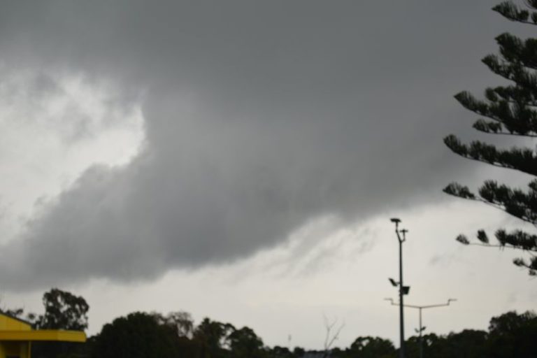
Whilst chasing our current cell we did get a sneak peak as to what the base was producing. I am kicking myself we did not take a few set shots of this (it was snapped on the fly). It appears there is some form of wall cloud embedded under the base and (possible) a small vorticy lingering under the base. Could be small scud too.
Soon enough the cell moved offshore and the Lismore cell went spastic with cloud-to-ground lightning for over an hour at least. We saw the last of the moisture move through the area around 5pm-6pm with cloudless skies to the W. Two cells started to fire overhead but didn't survive more than 30 mins.
The only chance now was on the coastal fringe looking over the Pacific for any cells that fired closer to the coast in the better environment. We actually got lucky and had a cell pop up a little later and move NE off Moreton Island. The moonlight helped illuminate the thunderstorm structure and the lightning was also great to watch. We did not end up scoring CG's as such however we were treated to a few crawlers on the rear flank of the storm.
Marginal days sometimes really do demonstrate some of the best structures. It's very nice to take a risk and be rewarded with some decent structure and features. We did we undecided what to do and thought bugger it, it's worth a look. Thanks very much too MB for squaring up my account on your forum.