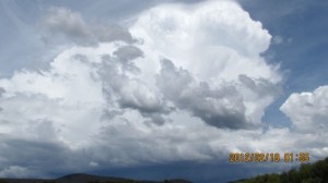
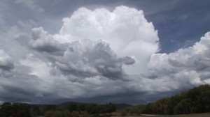
 Early afternoon on the 18 February 2012, an isolated thunderstorm built up over the Oberon Plateau and appeared to track NE. I managed find a good location at Portland (Near Lithgow) to watch the cumulonimbus cloud tower push quite high and bulge out. Following that further thunderstorms built up around the area. Eventually too many thunderstorms were building or trying to build. I found that there were too many storms and shower cells building. I then left the area, headed north and caught the Capertee storm (Separate post).
Storm report
Thunderstorms
Oberon and Lithgow Storms 18 February 2012
More storms near Oberon, NSW
 Severe Hailstorms and Wind Luddenham 3rd October 2026
3 Oct 2026 · Sydney, NSW
Severe Hailstorms and Wind Luddenham 3rd October 2026
3 Oct 2026 · Sydney, NSW
 Hailstorms Western Sydney and Lower Blue Mountains
26 Sep 2026 · Sydney, NSW
Hailstorms Western Sydney and Lower Blue Mountains
26 Sep 2026 · Sydney, NSW
 First Storm and Hail Event for Season 2026-2027 – Western Sydney – Friday 25 September 2026
25 Sep 2026 · Doonside, NSW
First Storm and Hail Event for Season 2026-2027 – Western Sydney – Friday 25 September 2026
25 Sep 2026 · Doonside, NSW
 Warm Weekend with 30C Maximum Daytime Temperatures – Western Sydney 19 and 20 September 2026
20 Sep 2026 · Western Sydney, NSW
Warm Weekend with 30C Maximum Daytime Temperatures – Western Sydney 19 and 20 September 2026
20 Sep 2026 · Western Sydney, NSW
 Storm Chase and Spectacular Thunderstorm Cell Camden NSW – Thursday 26 March 2026
27 Mar 2026 · Camden, NSW
Storm Chase and Spectacular Thunderstorm Cell Camden NSW – Thursday 26 March 2026
27 Mar 2026 · Camden, NSW
 Camden to Campbelltown Hailstorm 26th March 2026
26 Mar 2026 · Sydney, NSW
Camden to Campbelltown Hailstorm 26th March 2026
26 Mar 2026 · Sydney, NSW
 Significant Western Sydney Afternoon Thunderstorm with Large Hail – Saturday 21 March 2026
21 Mar 2026 · St Marys, NSW
Significant Western Sydney Afternoon Thunderstorm with Large Hail – Saturday 21 March 2026
21 Mar 2026 · St Marys, NSW
 Intense Rainstorm / Thunderstorm Impacts Parts of Western Sydney – Hornsby to Horsley Park – Saturday Evening 7 March 2026
8 Mar 2026 · Horsley Park, NSW
Intense Rainstorm / Thunderstorm Impacts Parts of Western Sydney – Hornsby to Horsley Park – Saturday Evening 7 March 2026
8 Mar 2026 · Horsley Park, NSW
 Late thunderstorm Outer Western Sydney – Monday 9 February 2026
13 Feb 2026 · Outer Western Sydney, NSW
Late thunderstorm Outer Western Sydney – Monday 9 February 2026
13 Feb 2026 · Outer Western Sydney, NSW
 A Contrast of Two Storms Across Western Sydney – Saturday 31 January and Sunday 1 February 2026
6 Feb 2026 · Western Sydney, NSW
A Contrast of Two Storms Across Western Sydney – Saturday 31 January and Sunday 1 February 2026
6 Feb 2026 · Western Sydney, NSW
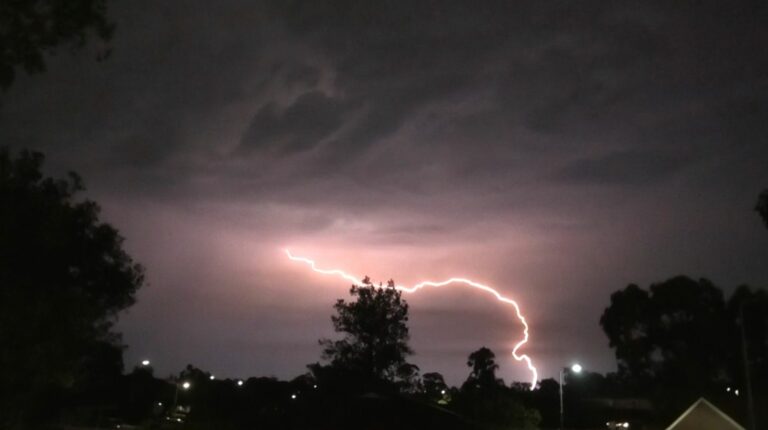 Spectacular lightning show over Western Sydney Saturday evening 31 January 2026
1 Feb 2026 · Doonside, NSW
Spectacular lightning show over Western Sydney Saturday evening 31 January 2026
1 Feb 2026 · Doonside, NSW
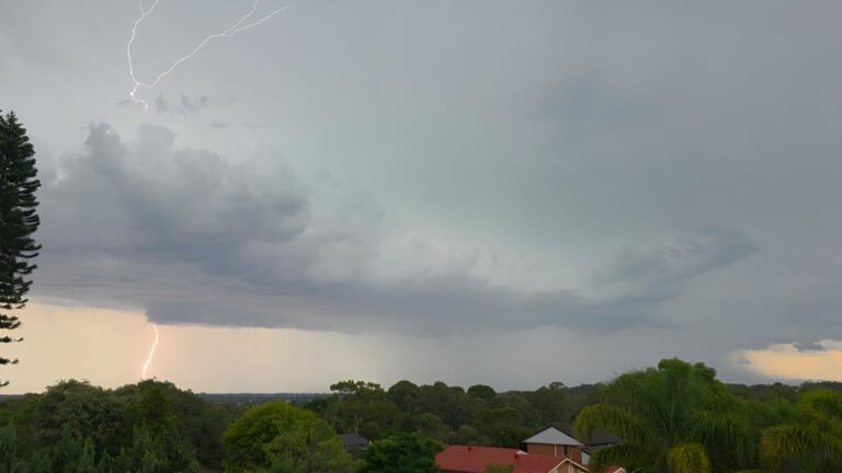 Western Sydney Thunderstorm event – Sunday 4 January 2026
17 Jan 2026 · Western Sydney, NSW
Western Sydney Thunderstorm event – Sunday 4 January 2026
17 Jan 2026 · Western Sydney, NSW
All storm reports from Oberon, NSW →
Also on 18 February
 Storm chase and severe storms Campbelltown to Mittagong NSW – Saturday 17 February 2024
18 Feb 2024 · Campbelltown, NSW
Storm chase and severe storms Campbelltown to Mittagong NSW – Saturday 17 February 2024
18 Feb 2024 · Campbelltown, NSW
 Week of heat, storms and heavy rain – February 11 to 18 2023
18 Feb 2023 · New South Wales
Week of heat, storms and heavy rain – February 11 to 18 2023
18 Feb 2023 · New South Wales
 Five hours of Storms across Western Sydney – 17/2/2022
18 Feb 2022 · Western Sydney, NSW
Five hours of Storms across Western Sydney – 17/2/2022
18 Feb 2022 · Western Sydney, NSW
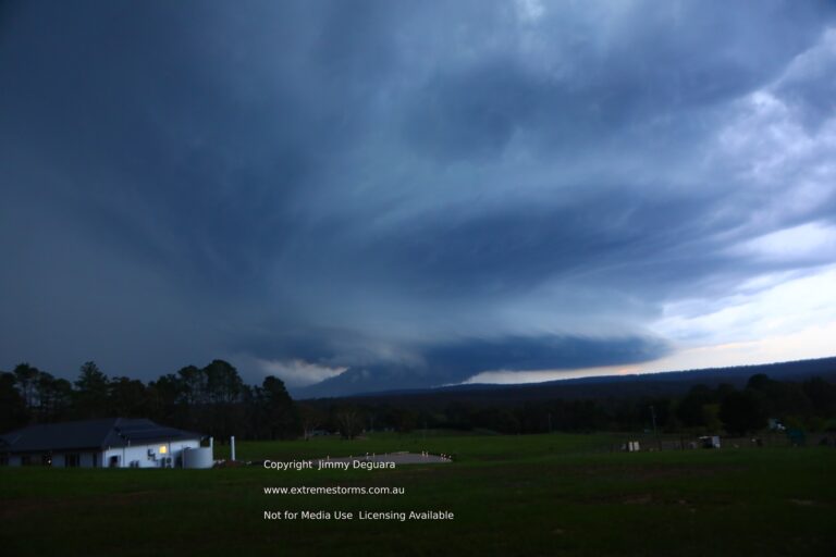 Storm Chase 18th February 2020 Supercell Structure! Mittagong Supercell
Went out for a chase today – just prior to sunset the cell consolidated so …
18 Feb 2022 · Mittagong, NSW
Storm Chase 18th February 2020 Supercell Structure! Mittagong Supercell
Went out for a chase today – just prior to sunset the cell consolidated so …
18 Feb 2022 · Mittagong, NSW
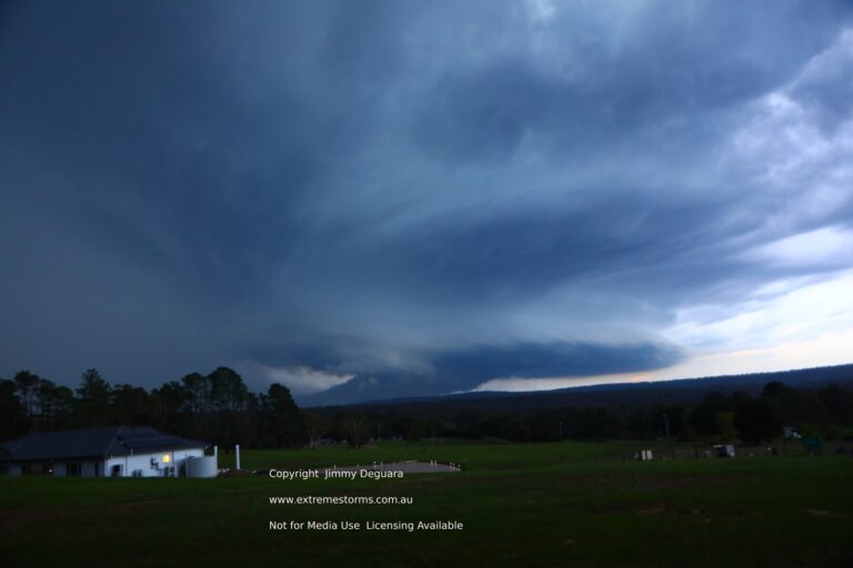 Ok this to me was an insane discovery after my approach!!Storm Chase 18th February 2020 Supercell Structure! Mittagong Supercell Went out for a ch…
18 Feb 2021 · Mittagong, NSW
Ok this to me was an insane discovery after my approach!!Storm Chase 18th February 2020 Supercell Structure! Mittagong Supercell Went out for a ch…
18 Feb 2021 · Mittagong, NSW
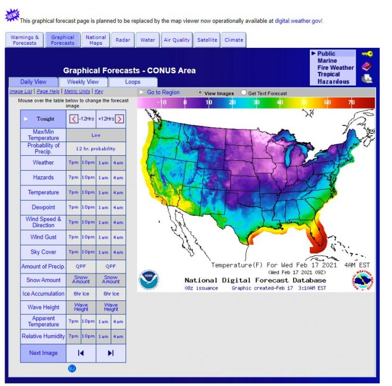 Satellite images of winter snow storms USA – 17 February 2021
18 Feb 2021 · Texas winter snowstorm, TX, US
Satellite images of winter snow storms USA – 17 February 2021
18 Feb 2021 · Texas winter snowstorm, TX, US
 Storm Chase 18th February 2020 Supercell Structure! Mittagong Supercell
Went out for a chase today – just prior to sunset the cell consolidated so …
18 Feb 2020 · Mittagong, NSW
Storm Chase 18th February 2020 Supercell Structure! Mittagong Supercell
Went out for a chase today – just prior to sunset the cell consolidated so …
18 Feb 2020 · Mittagong, NSW
 Heavy Rainfall event Central Coast Lower Hunter 19th February 2014
18 Feb 2014 · Cessnock, NSW
Heavy Rainfall event Central Coast Lower Hunter 19th February 2014
18 Feb 2014 · Cessnock, NSW
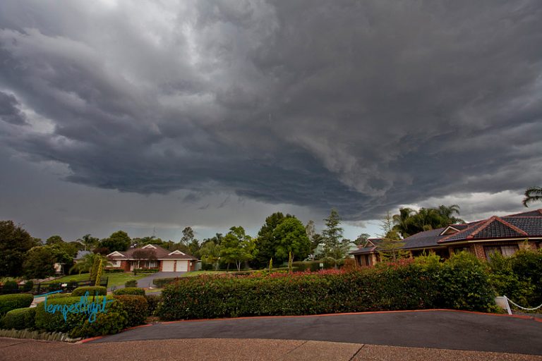 Penrith Hailstorm 18th February 2013
18 Feb 2013 · Penrith, NSW
Penrith Hailstorm 18th February 2013
18 Feb 2013 · Penrith, NSW
 Interesting storm structure at Capertee 18 February 2012
18 Feb 2012 · Capertee, NSW
Interesting storm structure at Capertee 18 February 2012
18 Feb 2012 · Capertee, NSW
2 comments
Add a comment
You must be logged in to post a comment.
In my first post, I show the storm at its peak using two cameras to provide contrast between my 14.6 megapixel Canon and my Sony video camera. The storm peaked once the updraft tower matured. I now show the storm in decay in this post with the tower losing its original shape and structure.
At this time, I was noticing new storms building as well as congestus clouds maturing and showers beginning to fall from the larger congestus clouds. Ocassional lightning strikes were observed from the more robust towers. Once I determined that too many storms had built, I left the area.
Very nice Harley Pearman – you know a strong updraft is occurring with pileus on top!