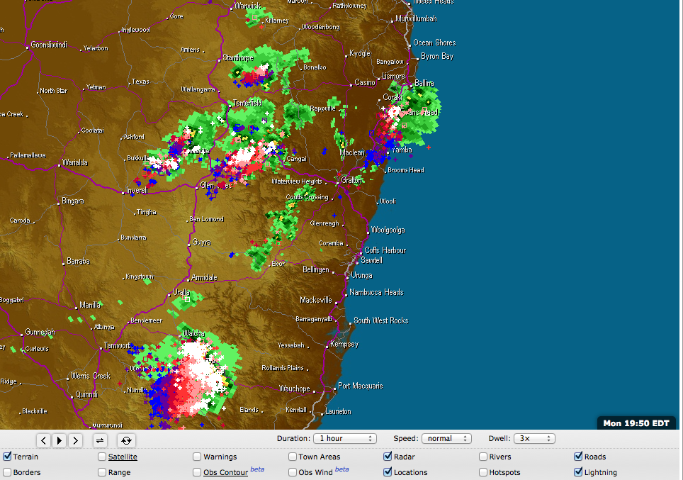
 Intense heating in north east NSW and the northern inland have created ideal conditions for the development of thunderstorms with severe warnings in place across the region. A line of storms is heading for the Kempsey hinterland with ample lightning and some intense cores indicative of some hail and strong winds based on the structure of the line. The line originated from near Werris Creek late this afternoon.

Hailstorms · Lightning
Lighting Storms northeast NSW 20th January 2014
More storms near Nowendoc, NSW
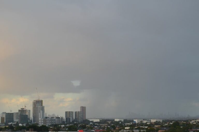 Cold, rain, storms and snowfall – Eastern New South Wales – 2 and 3 August 2025
3 Aug 2025 · Armidale, NSW
Cold, rain, storms and snowfall – Eastern New South Wales – 2 and 3 August 2025
3 Aug 2025 · Armidale, NSW
 Torrential rains and flooding crises for coastal New South Wales – 19 to 24 May 2025
24 May 2025 · Mid North Coast, NSW
Torrential rains and flooding crises for coastal New South Wales – 19 to 24 May 2025
24 May 2025 · Mid North Coast, NSW
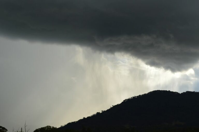 North West New South Wales storms including storm chase to Murrurundi – Upper Hunter Valley – Friday 10 January 2025
11 Jan 2025 · Murrurundi, NSW
North West New South Wales storms including storm chase to Murrurundi – Upper Hunter Valley – Friday 10 January 2025
11 Jan 2025 · Murrurundi, NSW
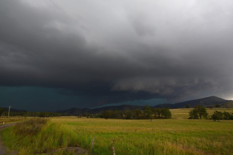 More Storm Action from 27th February 2023. Followed this storm from Putty all the way through to Dungog ater work. It experienced lowering bases and …
27 Feb 2023 · Dungog, NSW
More Storm Action from 27th February 2023. Followed this storm from Putty all the way through to Dungog ater work. It experienced lowering bases and …
27 Feb 2023 · Dungog, NSW
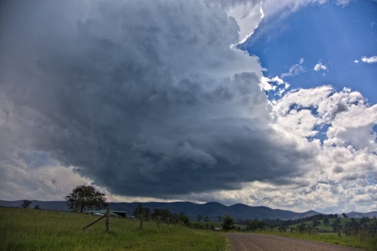 This was a great chase! The first cell rotating nearby!Got the first storm S of Gloucester from birth which quivkly became a supercell but took the …
15 Jan 2023 · Gloucester, NSW
This was a great chase! The first cell rotating nearby!Got the first storm S of Gloucester from birth which quivkly became a supercell but took the …
15 Jan 2023 · Gloucester, NSW
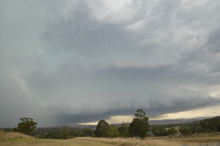 Storm chase and hailstorms – Upper Hunter Valley – 4 January 2023
5 Jan 2023 · Muswellbrook, NSW
Storm chase and hailstorms – Upper Hunter Valley – 4 January 2023
5 Jan 2023 · Muswellbrook, NSW
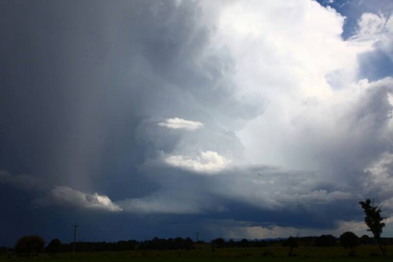 A rare chase in April Mid North Coast I liked the structure and lighting and of course 5 to 6cm hail
Earlier structure before the green tinge and fu…
10 Apr 2022 · Mid North Coast, NSW
A rare chase in April Mid North Coast I liked the structure and lighting and of course 5 to 6cm hail
Earlier structure before the green tinge and fu…
10 Apr 2022 · Mid North Coast, NSW
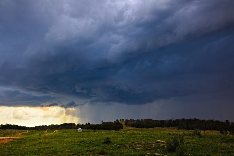 1 year ago what? Gees Colin Bryant
Colin and I chased for a couple of days with this being the return trip 22nd January 2021. Nothing terribly severe…
24 Jan 2022 · Mount Seaview, NSW
1 year ago what? Gees Colin Bryant
Colin and I chased for a couple of days with this being the return trip 22nd January 2021. Nothing terribly severe…
24 Jan 2022 · Mount Seaview, NSW
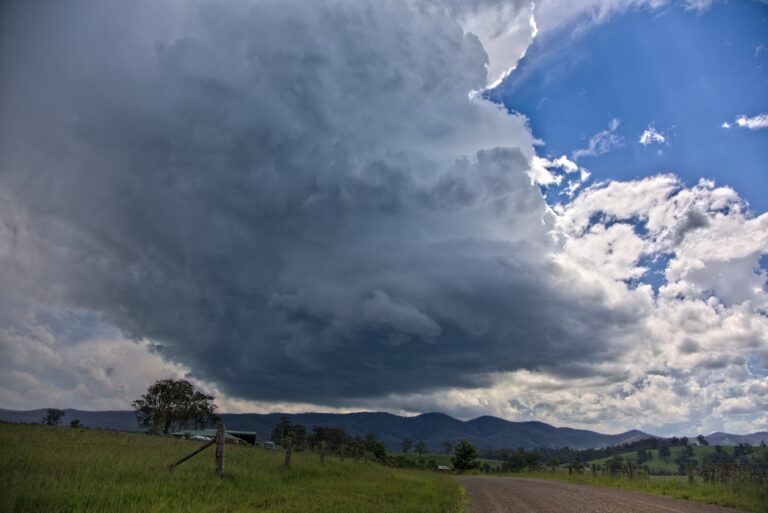 Awesome day. 1 year ago. Gosh
Got the first storm S of Gloucester from birth which quivkly became a supercell but took the wrong turn elsewhere and m…
15 Jan 2022 · Gloucester, NSW
Awesome day. 1 year ago. Gosh
Got the first storm S of Gloucester from birth which quivkly became a supercell but took the wrong turn elsewhere and m…
15 Jan 2022 · Gloucester, NSW
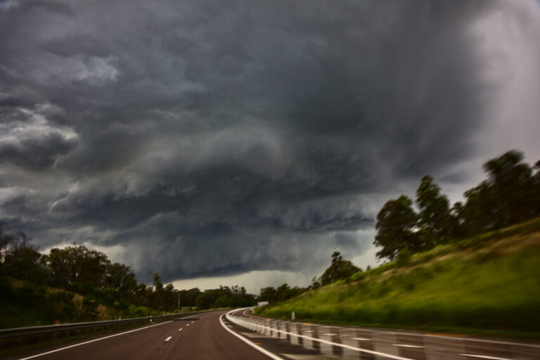 Some may recall the Muswellbrook surprise cell from 22nd December 2021 last week. Finally was able to get to editing them – unfortanately some wrong s…
27 Dec 2021 · Muswellbrook, NSW
Some may recall the Muswellbrook surprise cell from 22nd December 2021 last week. Finally was able to get to editing them – unfortanately some wrong s…
27 Dec 2021 · Muswellbrook, NSW
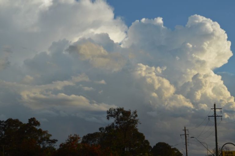 Significant storm events New South Wales – Thursday 14 October 2021
15 Oct 2021 · Eastern NSW storms (Armidale)
Significant storm events New South Wales – Thursday 14 October 2021
15 Oct 2021 · Eastern NSW storms (Armidale)
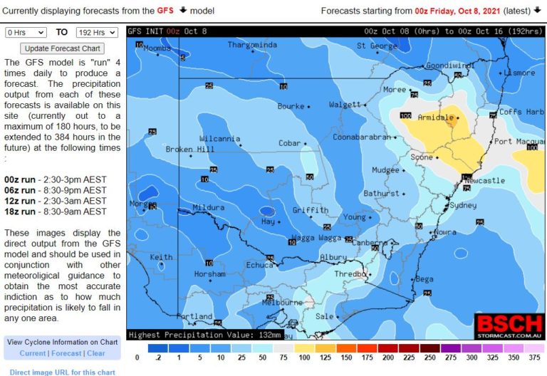 Significant rain events for New South Wales – 10 to 16 October 2021
8 Oct 2021 · NSW rain (NE NSW)
Significant rain events for New South Wales – 10 to 16 October 2021
8 Oct 2021 · NSW rain (NE NSW)
All storm reports from Nowendoc, NSW →
Also on 20 January
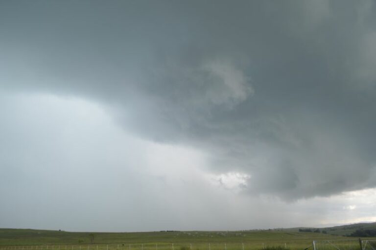 Australia – A week of storms and heavy rain – Now an expected tropical cyclone off the Queensland Coast – 15 to 20 January 2024
20 Jan 2024 · Townsville, QLD
Australia – A week of storms and heavy rain – Now an expected tropical cyclone off the Queensland Coast – 15 to 20 January 2024
20 Jan 2024 · Townsville, QLD
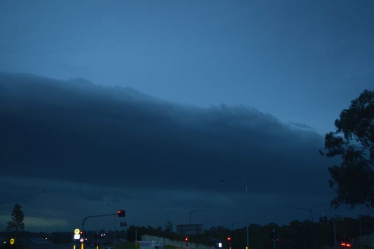 First 30C in Sydney for the summer season 2022/2023 -18 January 2023
20 Jan 2023 · Sydney, NSW
First 30C in Sydney for the summer season 2022/2023 -18 January 2023
20 Jan 2023 · Sydney, NSW
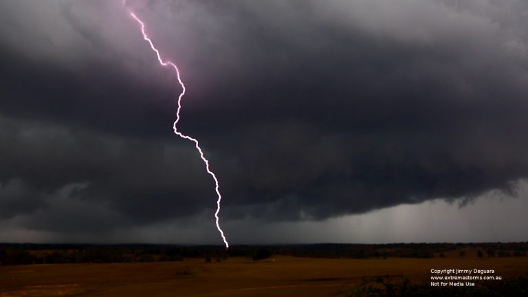 Southern Tablelands cell was interesting and so was the lightning
20 Jan 2020 · Southern Tablelands, NSW
Southern Tablelands cell was interesting and so was the lightning
20 Jan 2020 · Southern Tablelands, NSW
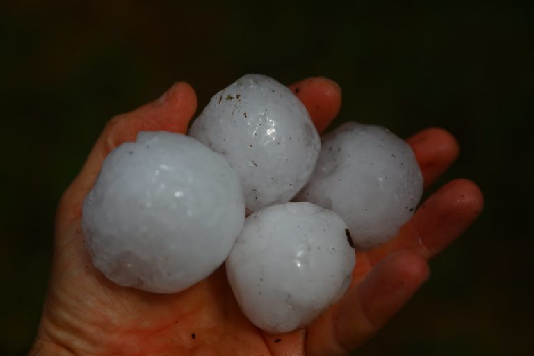 Severe Storms and Supercells Sydney and Southern Tablelands
First cells came th…
20 Jan 2020 · Bowral, NSW
Quite warm overnight and warming up
20 Jan 2007 · Sydney, NSW
Severe Storms and Supercells Sydney and Southern Tablelands
First cells came th…
20 Jan 2020 · Bowral, NSW
Quite warm overnight and warming up
20 Jan 2007 · Sydney, NSW
4 comments
Add a comment
You must be logged in to post a comment.
Looks like a lightning fest for NE NSW particularly the line near Nowendoc!
It was confirmed by a man in Wauchope that one of the best lightning displays in many years occurred nearby to the NW and with it a 'roll cloud' (not sure if he meant sheld cloud…).
What's a sheld cloud? You mean shelf cloud?
Yep typo thanks for spotting Wayne! I hate typing on the ipad / iphone.