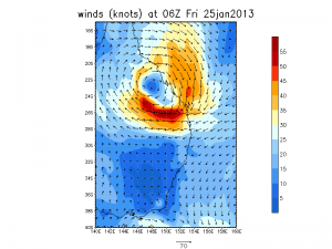
 The ex-tropical cyclone moving down the Qld Coast has caused some heavy flooding along the far north Queensland region. This system is now moving down the coast and expected to impact NSW over the weekend. Here is a flood watch from the Bureau of Meteorology effective 25th January and will be updated as the event gets closer (26th January to 27th January 2013).
————–
NSW Flood Watch: QLD Border to Hunter Valley & Upper Macintyre Valley
Source: Bureau of Meteorology
FLOOD WATCH FOR THE NSW COASTAL VALLEYS FROM THE QUEENSLAND BORDER TO LOWER HUNTER INCLUDING THE UPPER MACINTYRE VALLEY FROM LATE SATURDAY ONWARDS
Issued at 1:05 pm EDT on Friday 25 January 2013
Note: This Flood Watch is a “heads up” for possible future flooding and is NOT a Flood Warning [see note below].
Ex-tropical cyclone Oswald is expected to move south over the weekend into NSW and bring widespread heavy rain to the NSW north and mid north coasts and parts of the northern tablelands.
At this stage there is a greater than 75% chance that major flooding as well as local flash flooding will develop along the coastal river valleys from the Queensland Border to Taree, as well as the upper Macintyre Valley in the Northern Tablelands. Flooding is expected to develop from late Saturday and into Sunday and Monday as the weather system moves southwards over the weekend.
1. Upper Macintyre – major flooding
2. Tweed Valley (including Chillin gham) – major flooding
3. Brunswick Valley – major flooding
4. Richmond and Wilsons Valleys – major flooding
5. Clarence Valley (including Orara) – major flooding
6. Coffs Harbour – moderate to major flooding
7. Bellinger, Nambucca and Kalang Valleys – major flooding
8. Macleay Valley – including Armidale – major flooding
9. Hastings and Camden Haven (Logans Crossing) – major flooding
10. Manning Valley – moderate to major flooding
11. Patterson and Williams Valleys – moderate flooding
This Flood Watch means that people living or working along rivers and streams must monitor the latest weather forecasts and warnings and be ready to move to higher ground should flooding develop. Flood Warnings will be issued if Minor Flood Level is expected to be exceeded at key sites along the main rivers for which the Bureau of Meteorology provides a flood warning service.
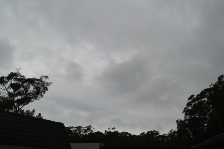
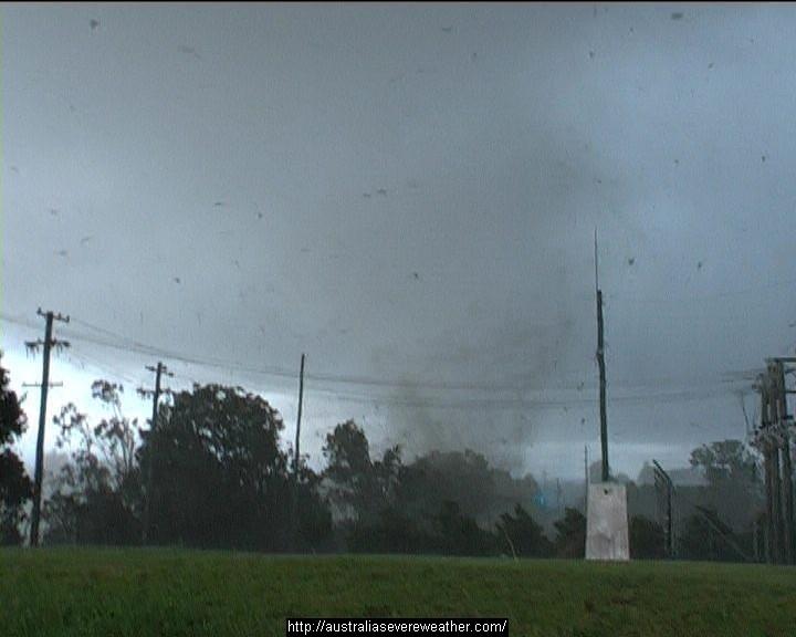




Harley Pearman will probably add his data analysis of the rainfall up the coast of Queensland and that from NSW as the event evolves!
Jimmy, I will certainly watch this event. I will be in Batemans Bay with my parents so I will not be able to post anything for 3 days until I return. There is an opportunity for storms around the southern Tablelands which I will document should they occur as Im going inland to see what occurs.
SE Queensland is already in the zone anticipating very heavy rainfall and flooding – check the rainfall map. NE NSW is also on the southern extent of this activity! 370mm in 24 hours SW of Gladstone (Boolaroo) in 24 hours gives some indication of the type of rainfall possible in the tropics from this system.
Has anyone checked the European Model's positioning of the low? It should put ample rainfall on Sydney!
Projected ECMWF forecasts for eastern NSW has it near Sydney!
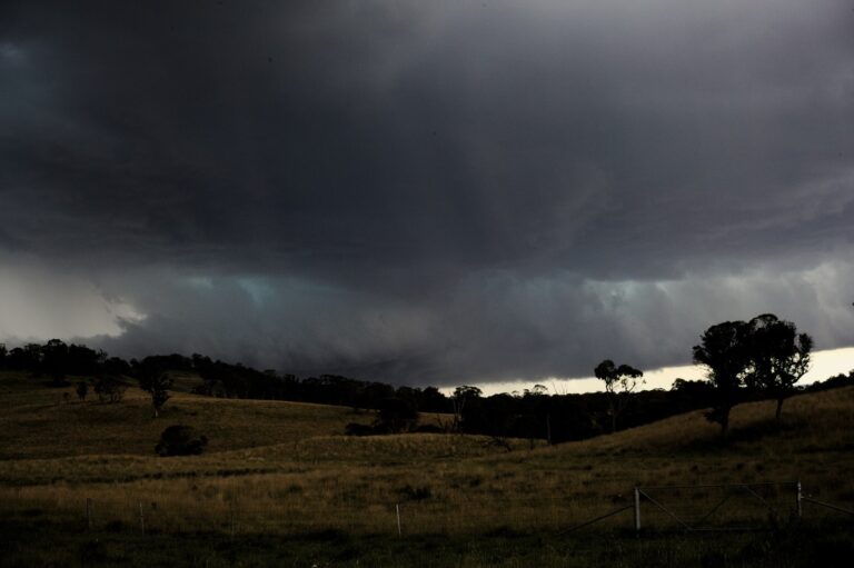
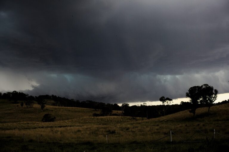
I observed a number of storm cells building on the ranges on my way down to Batemans Bay. However I could not chase due to family matters. I observed a number of storm cells to the west and south but as the day progressed, these merged into a large complex. During the evening these crossed the coast around Batemans Bay / Moruya and areas further south. By this stage, only heavy rain and ocassional lightning flash was observed. The storms were embedded within rain bands. Batemans Bay had 21 mm but heavier falls occurred to the south around Moruya. I managed to photograph one isolated storm cell near Goulburn prior to it merging with the storm cells that were moving SE towards the coast.
AccessR has the low dumping 100mm+ over Sydney in the next 24hours.
AccessR is looking good for a direct hit over Sydney in the next 24hours. We’ll wait and see I guess but it looks like plenty of rainfall either way. Looks like my recent question about record January heat followed by record January 24hour rainfall in 2001 might be repeating itself exactly in 2013!
Here is a screen shot of Penrith’s January extremes from weatherzone. Note the highest temperature and the highest 24h January Total both occurred in 2001 on the 15th and 31st. Extreme heat followed by heavy rain. global warming or atmospheric pattern’s?
I also note in the latest GFS models that the rainfall in NE NSW is expected to be well inland as well.
Well Penrith broke it’s previous 24h rainfall total for January by 0.8mm! How amazing that two weeks after our record heat broke the highest temp record for Penrith the 24h rainfall total was also broken in a direct mirroring of January 2001!
Even more amazing since I talked about such a possiblity two weeks ago and it has now come to pass. I wonder if there are real atmospheric patterns that repeat themselves on a regular basis?