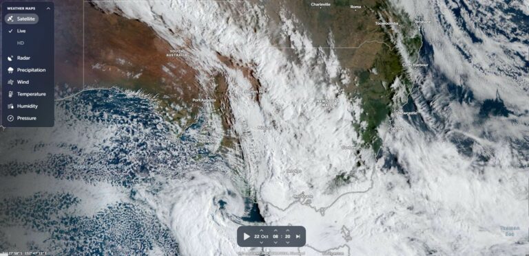
During the weekend of the 24 and 25 October, two weather systems acting independently of each other impacted two separate regions of the Australian continent. In particular:
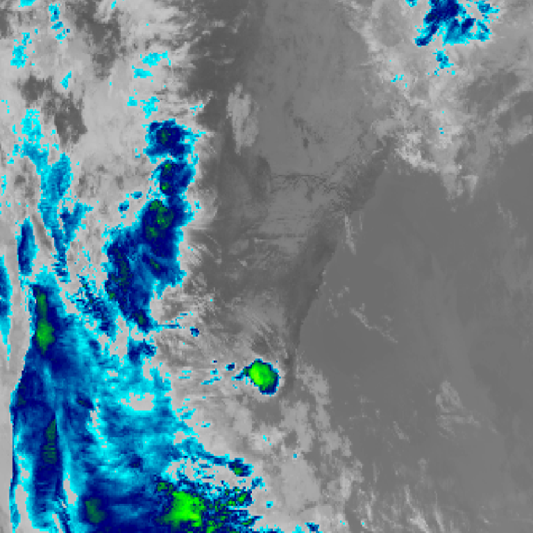
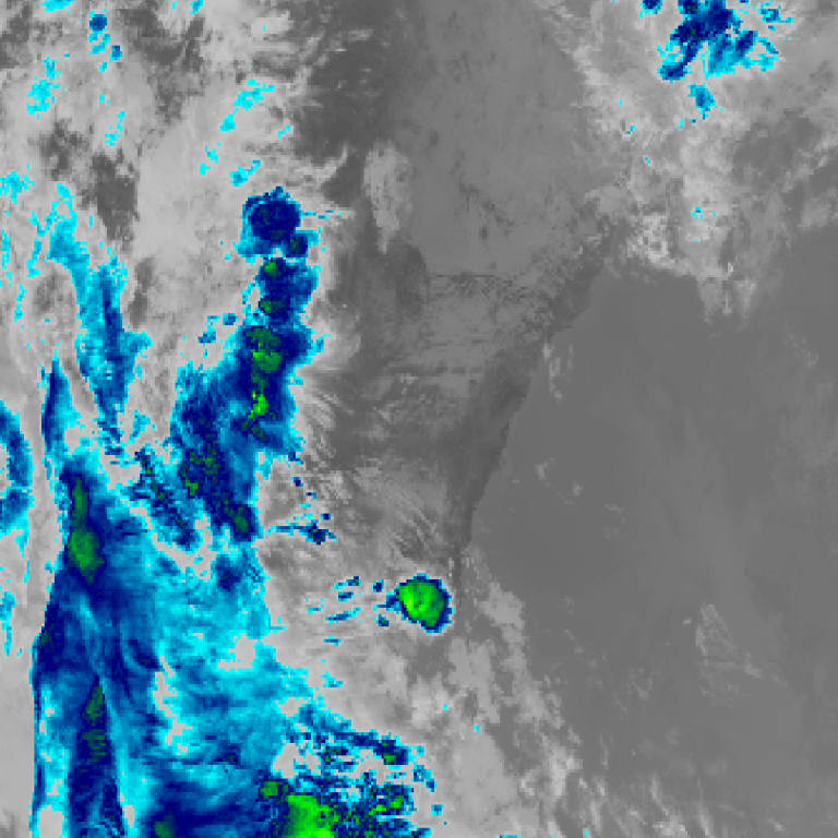
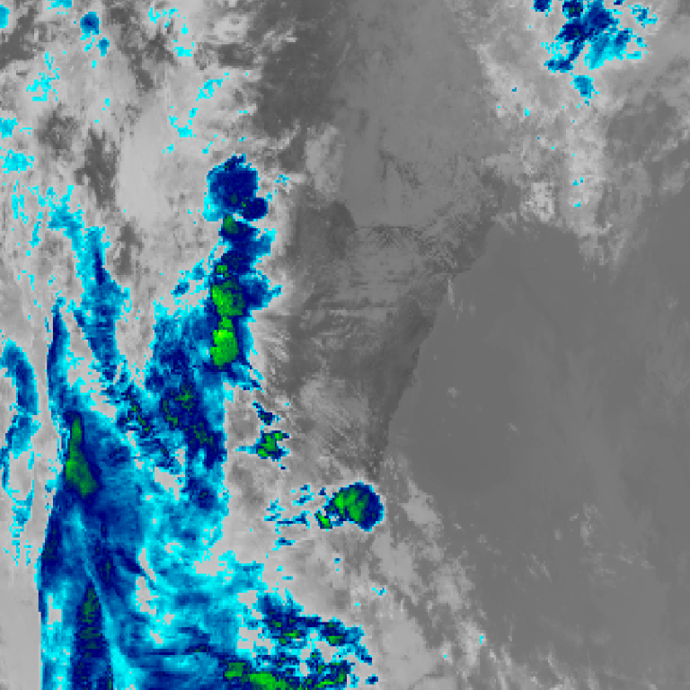
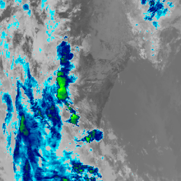
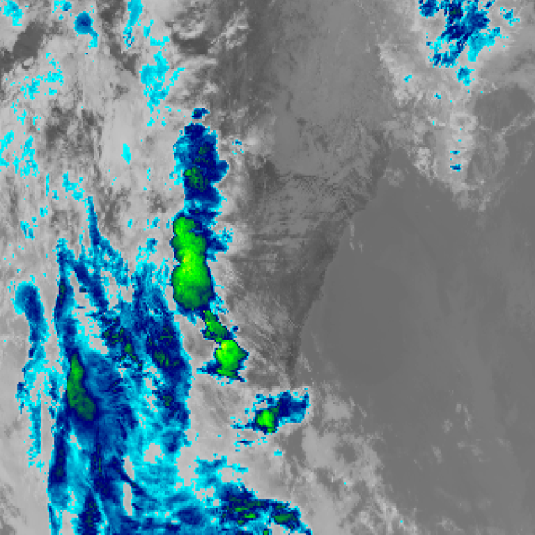
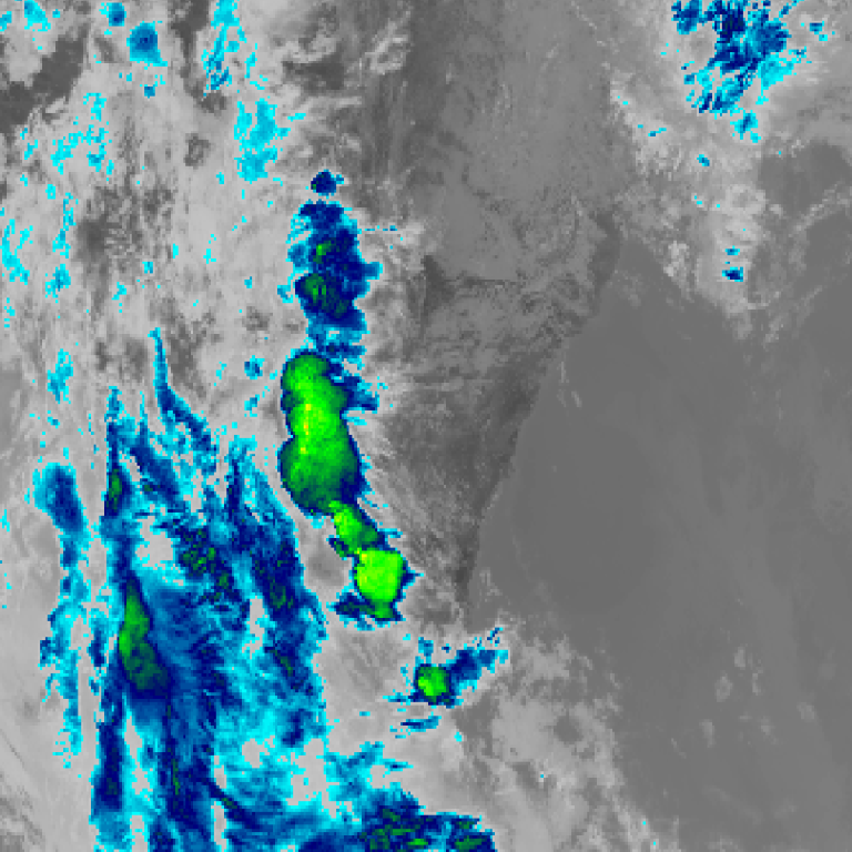
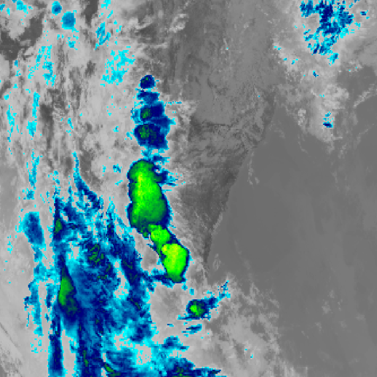
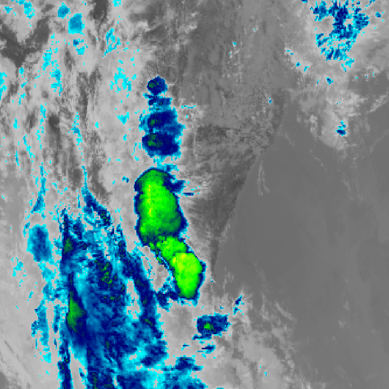
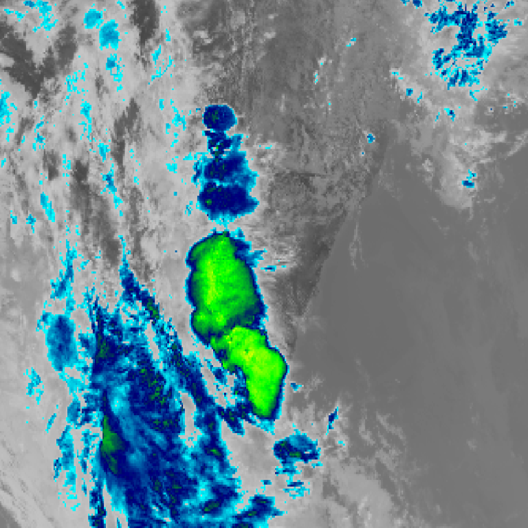
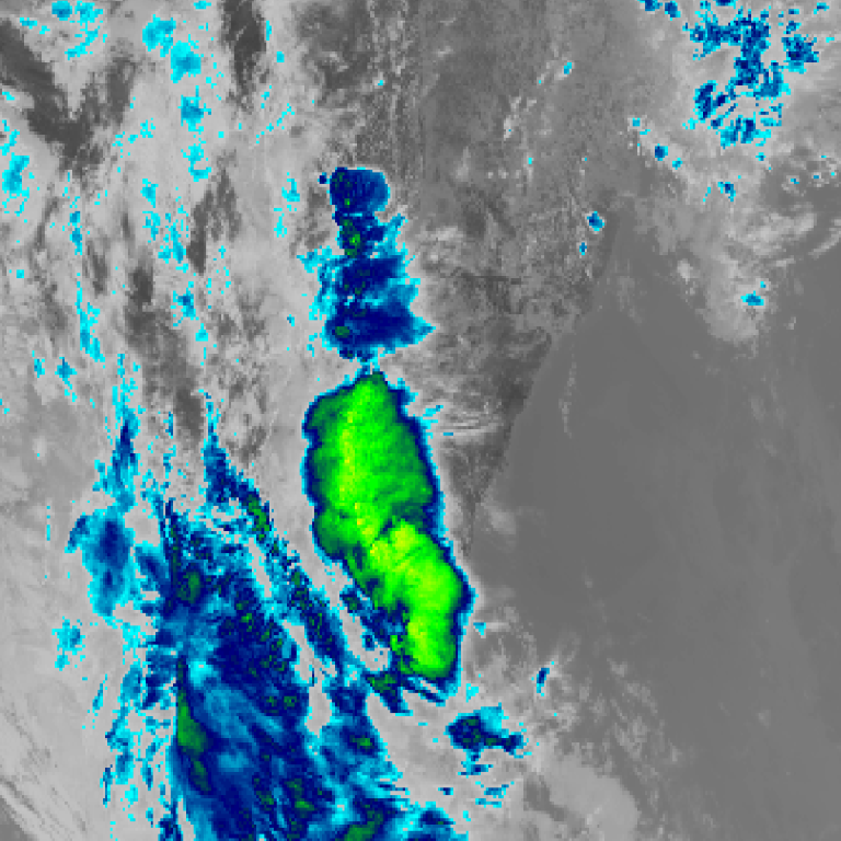
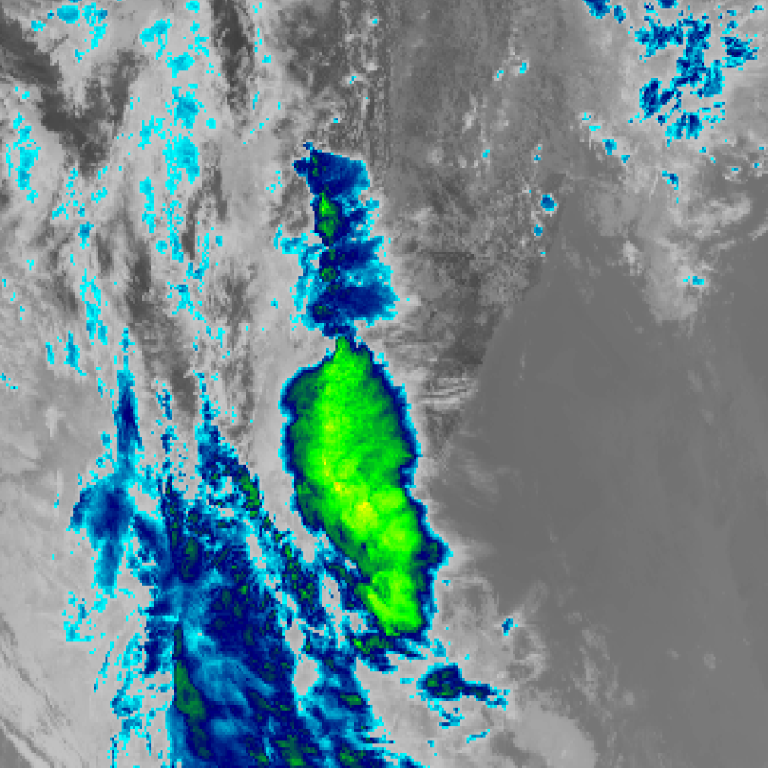
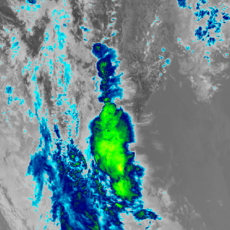
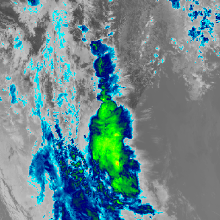
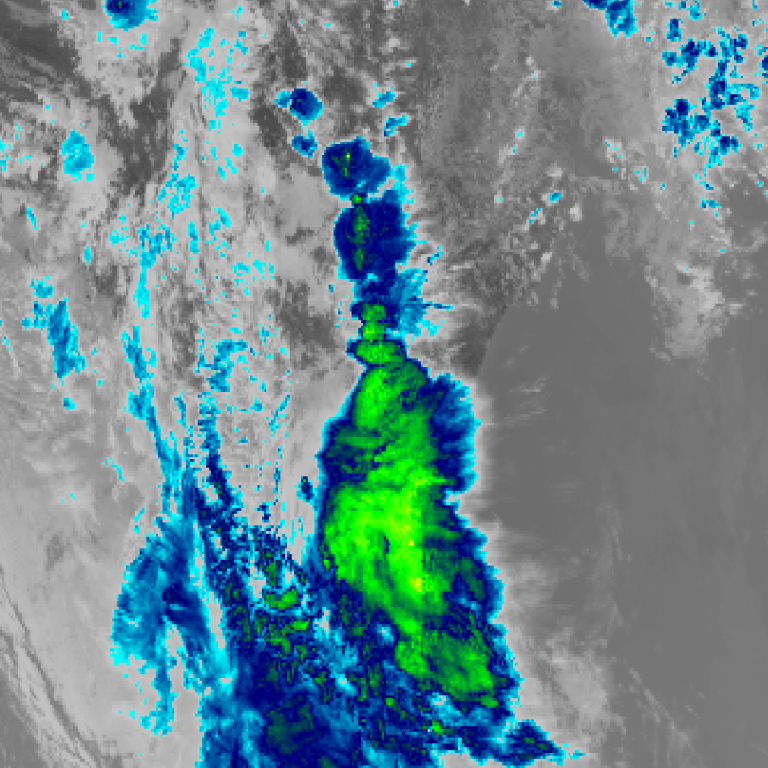
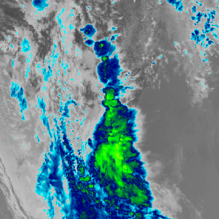
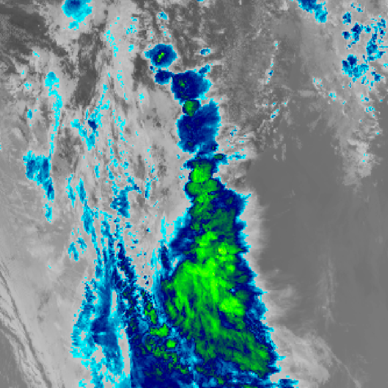
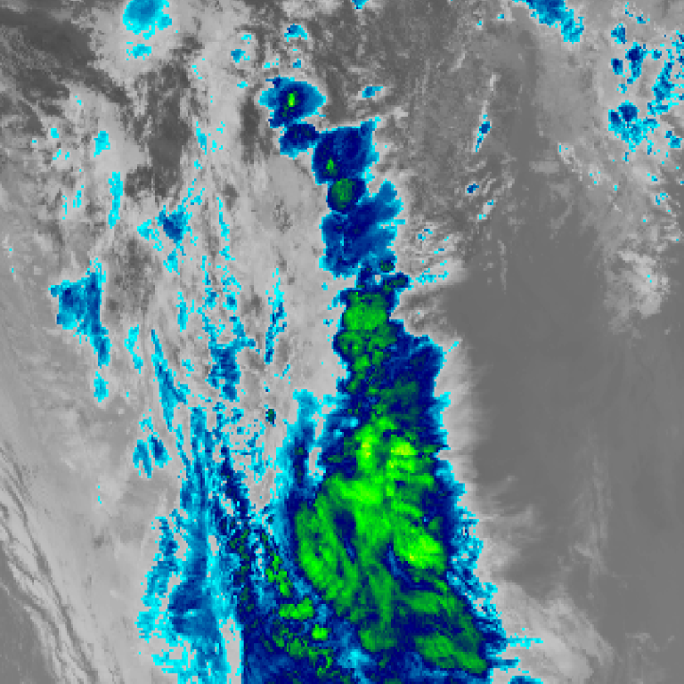
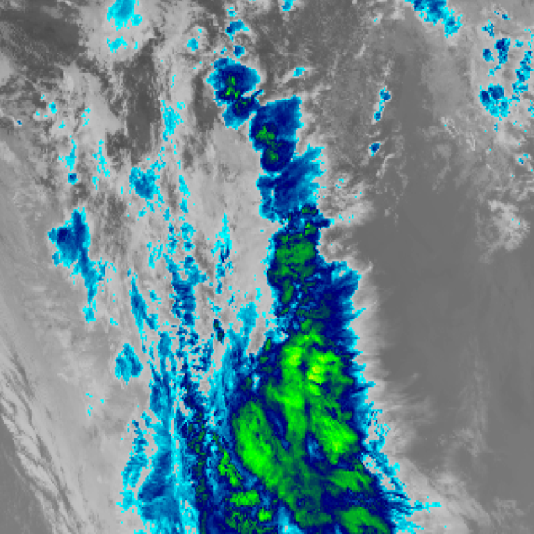
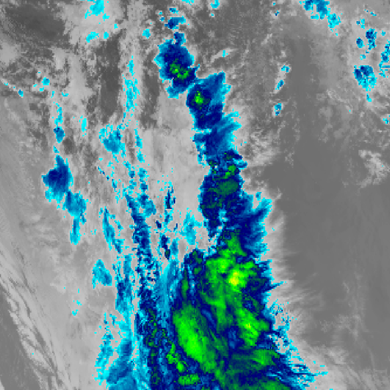
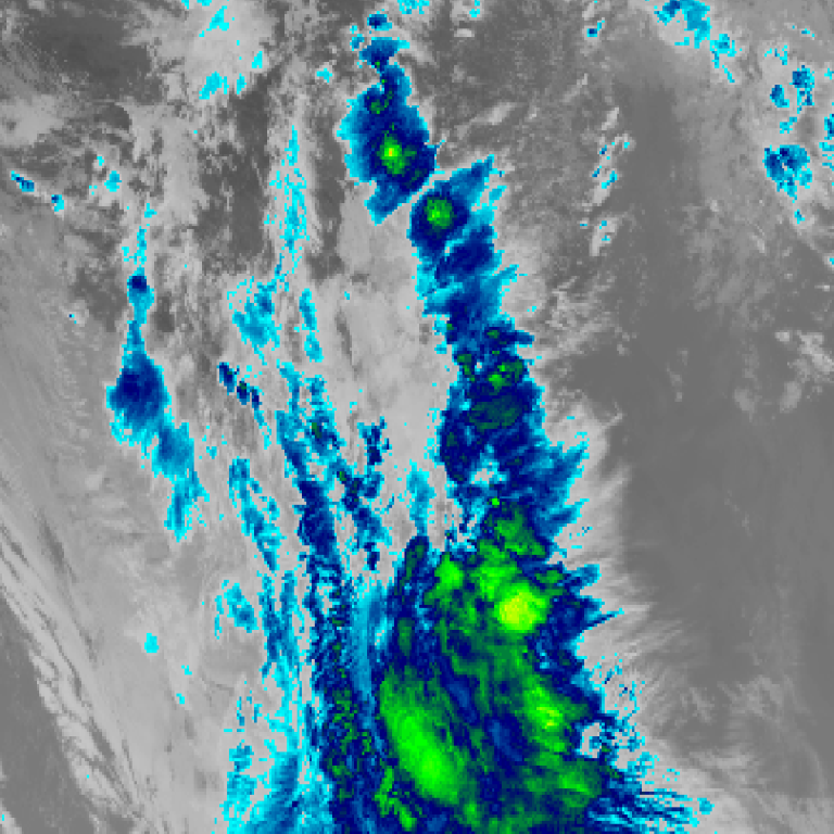
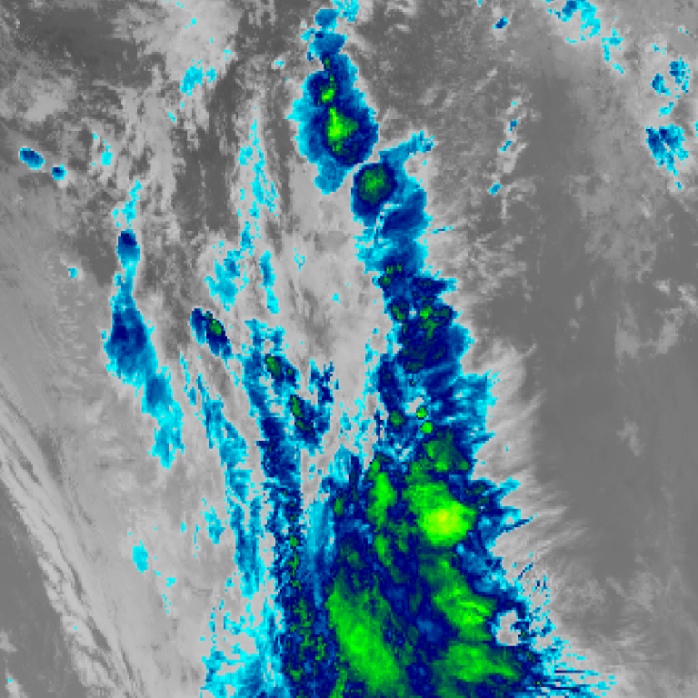
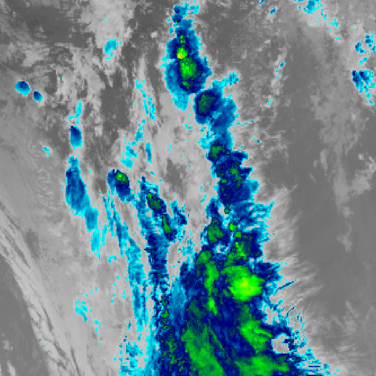
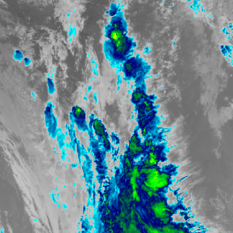
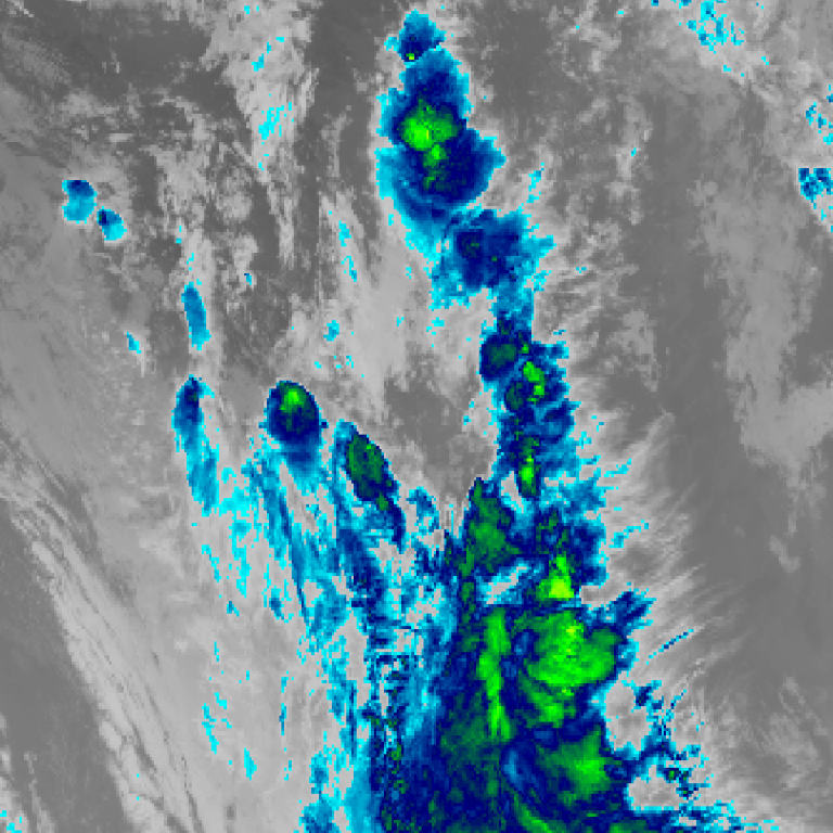
Himawari satellite loop (infrared) · 10:00am AEDT – 6:00pm AEDT · Imagery: JMA Himawari via NASA GIBS












Bureau radar loop, Sydney (Terrey Hills) · 10:00am AEDT – 10:55am AEDT · Radar data: Bureau of Meteorology (CC-BY 4.0)
1 – The rain event impacting southeast Queensland delivered further 200 mm plus rainfall totals during Saturday.
2 – A significant frontal system delivered rain, showers and thunderstorms across southern Australia affecting:
- South Australia.
- Victoria
- New South Wales.
- Tasmania.
Both acted independently of each other but had various impacts as follows.
1 – Southeast Queensland to 9 am Sunday morning
Another major rainfall event has impacted an area west of Bundaberg southeast towards a rural region west of Gympie. Within the narrow corridor, heavy flooding rains delivered impressive October rainfall tallies exceeding 200 mm once again including:
- Mt Goonaneman – 218 mm.
- Morganville – 210 mm.
- Fairlies Knob – 204 mm.
- Sexton – 187 mm.
- Brooyar – 167 mm.
Such high totals are usually reserved for the January to March period rather October. This is now the third event within a period of 5 days where such rainfall totals have occurred.
Further Maroochydore just outside this corridor received strong totals of 50 to 99 mm for the same period
2 – Southern Australia to 9 am Sunday morning
A strong frontal system delivered areas of rain, thunderstorms and relatively high rainfall totals that is rarely seen during an El Nino year. This event is impressive in its own right given the varied weather that it produced. As follows:
South Australia
- Port Broughton – 40.6 mm.
- Bute – 34.4 mm.
- Whyalla – 33.2 mm.
- Adelaide – 3 to 27 mm.
Where thunderstorms have occurred, rainfall totals have sharply increased.
Victoria
A band of rain brought solid rainfall totals to a corridor from Murrayville in the southern Mallee to Western areas of Melbourne where rainfall totals have topped 40 mm.
- Laverton – 39.8 mm.
- Warracknabeal – 38.4 mm.
- Rainbow Radar Rain gauge – 31.8 mm.
General falls of 25 to 40 mm have occurred reaching into Melbourne.
This area generally experiences a Mediterranean climate and during an El Nino year, this is the area that is highly prone to droughts and lack of rainfall. This event has shattered normal expectations.
Once again, thunderstorms have boosted rainfall totals to unusually high levels for October.
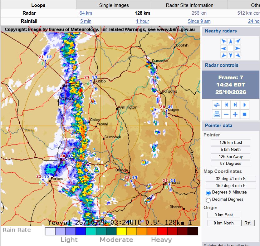
Sunday – New South Wales Squall line
During Sunday a squall line developed across an area from Albury northwards towards the Queensland state border. The squall line produced hit and miss weather events with some localities receiving little if any rainfall while others received more significant events.
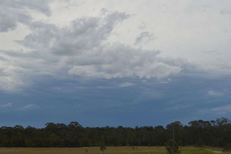
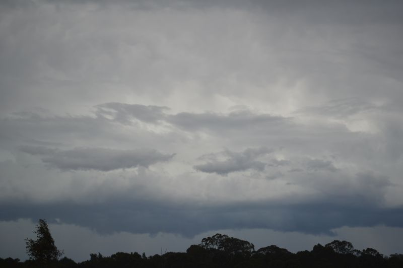
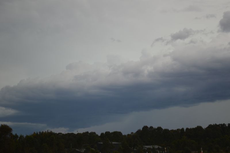
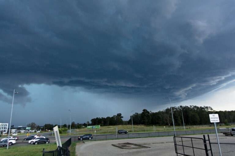
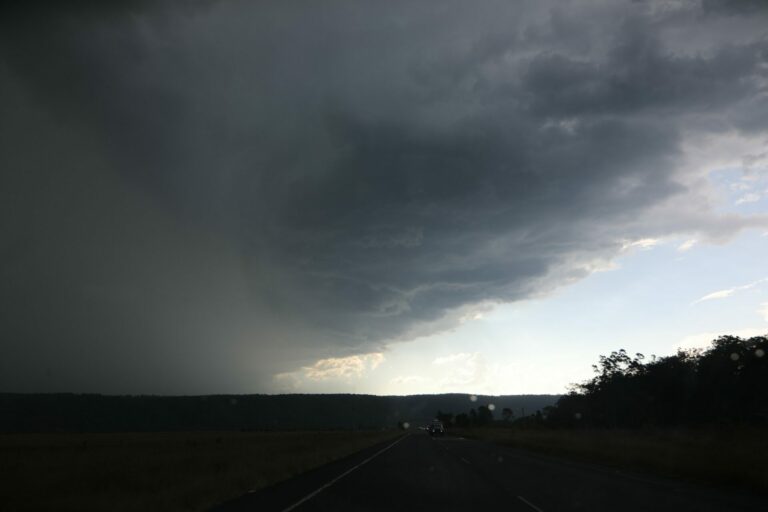
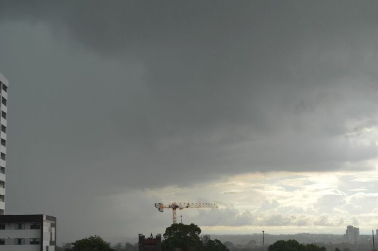
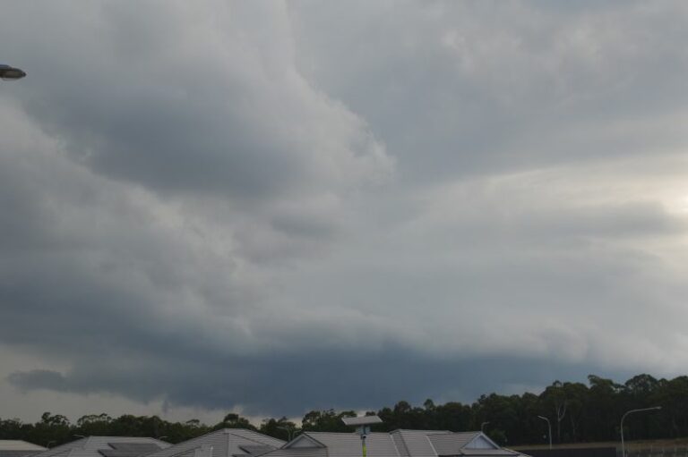
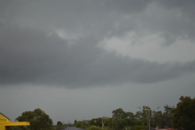
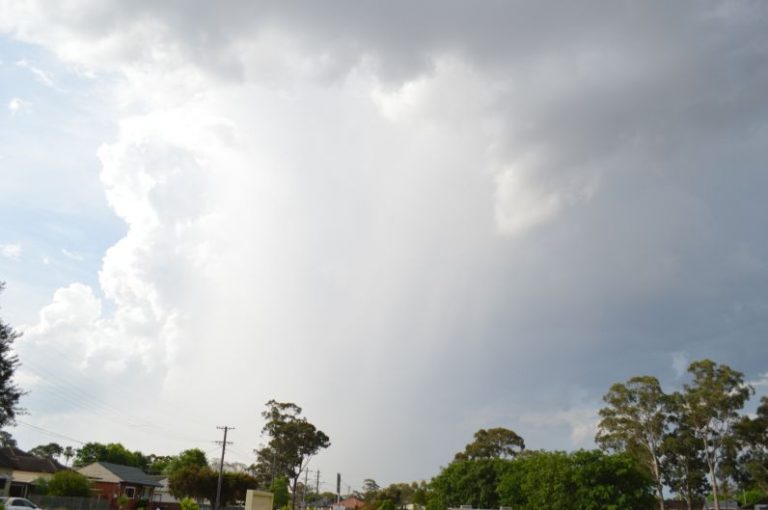
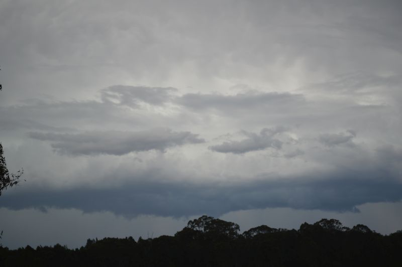
This was seen late in the day in which the squall line crossed Sydney. I went to Bungarribee Park which gave me optimal views to the west.
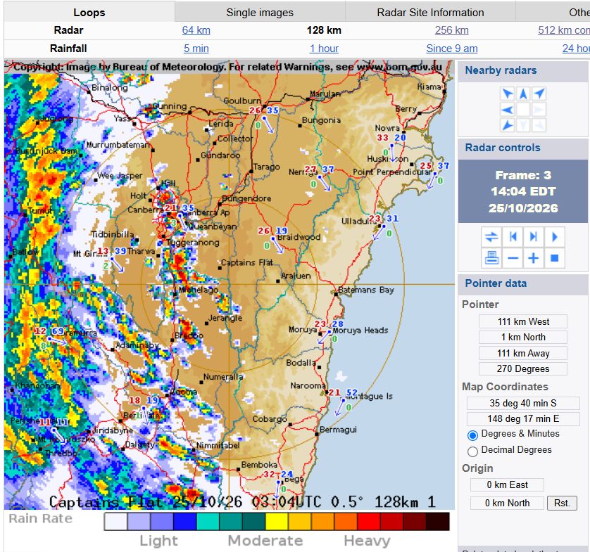
At least three storm cells were observed but one weakened as it crossed over Blacktown resulting in a short period of moderate winds and little if any rainfall. I made attempts at lightning photography but as the lightning was sporadic, I gave up.
A cell to the north managed to cross the whole of Sydney and cross the coast. Cells were moving fast but rainfall was light.
The main squall line to the west collapsed and weakened into a shower.
I did obtain a few photos of the event but overall, this was an event not worth chasing.
Earlier on, the same weather system impacted:
- West Wyalong in which gale force wind gusts of 100 km/h occurred between 12.31 pm and 12.37 pm.
- Narrandera Airport – A peak wind gust of 94 km/h occurred.
It is suggested that 445,000 lightning strikes occurred across New South Wales during Sunday.
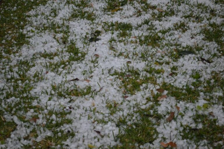
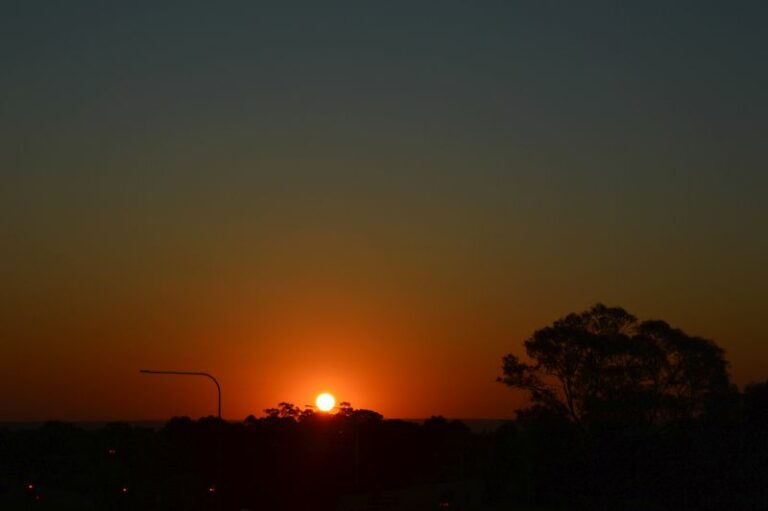
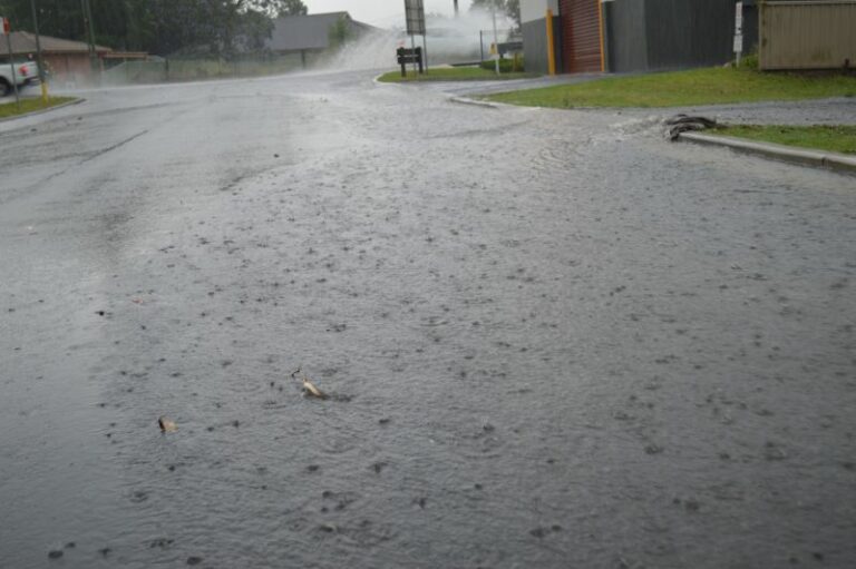
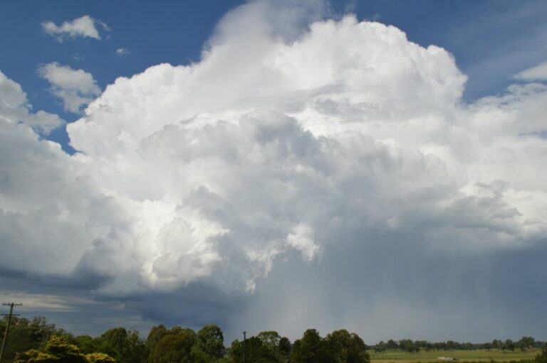
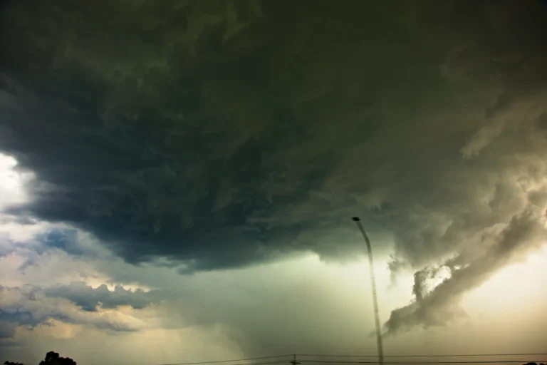
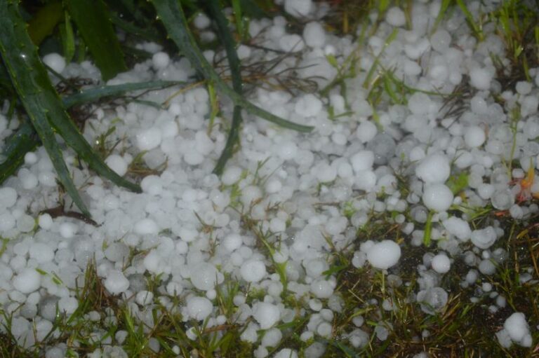
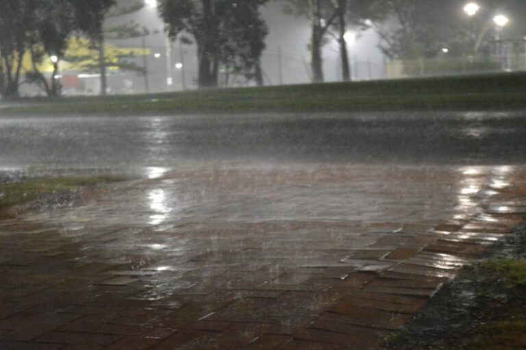
The images attached to the post are from the weakening system as it crossed Sydney Sunday afternoon all taken at Eastern Creek (Western Sydney).