Extreme Storms

Floods · Rain

Unusual Heavy October Rainfall for Southeast Queensland 22 to 23 October 2026

· by Harley Pearman

A multi day rain and storm event impacting southeast Queensland continues into Saturday 24 October 2026.
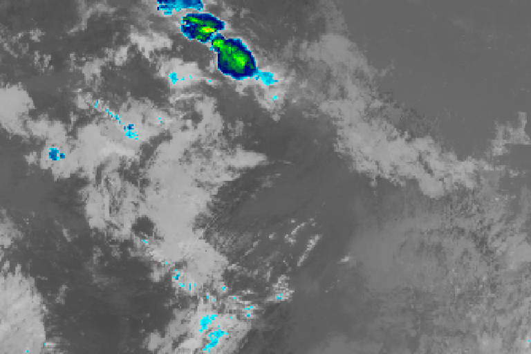
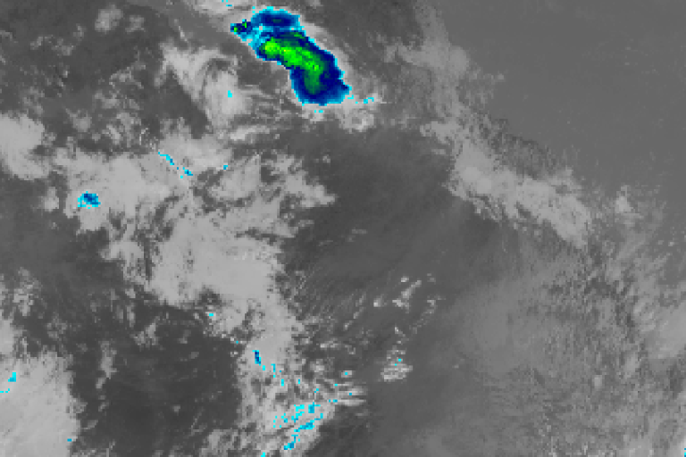
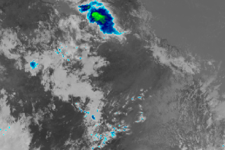
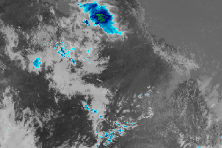
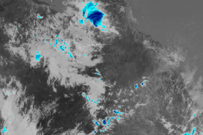
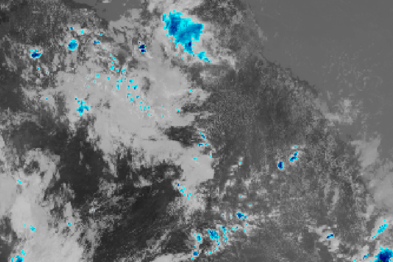
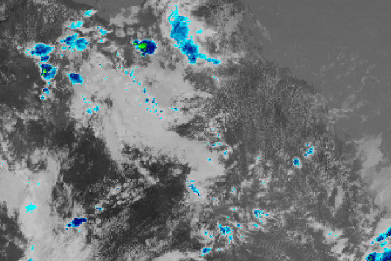
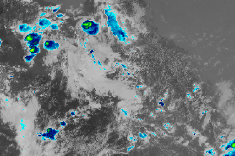
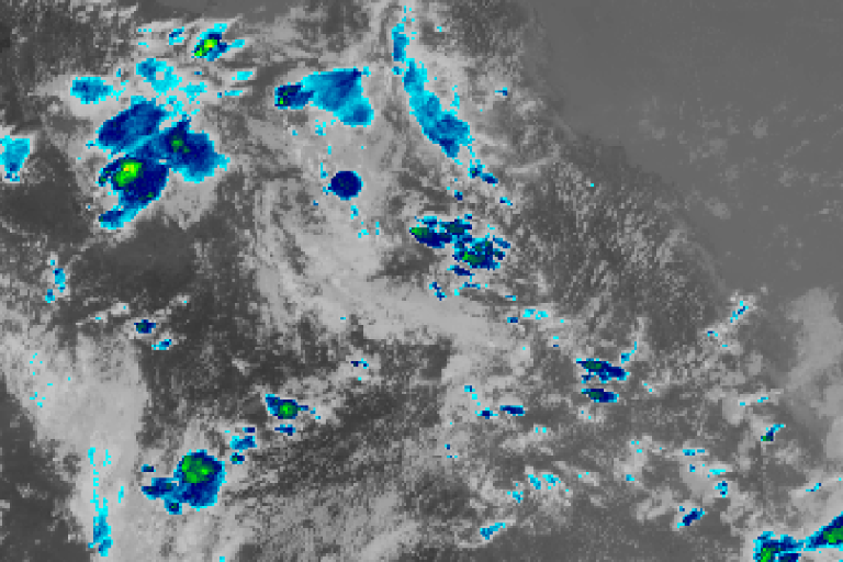
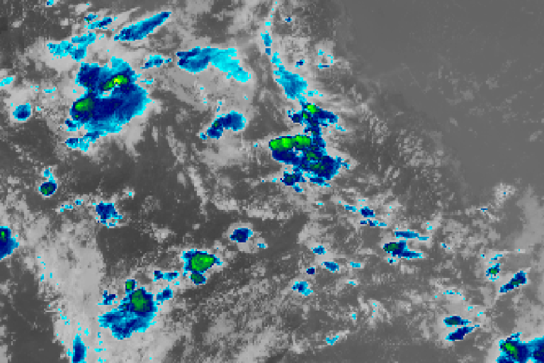
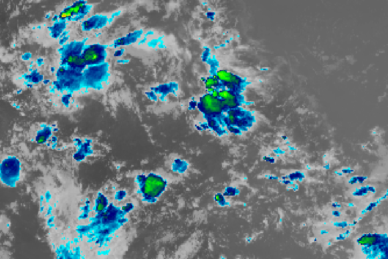
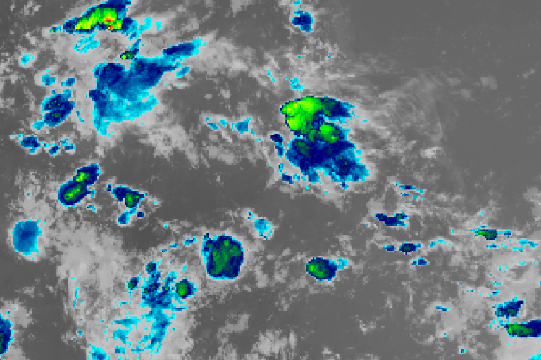
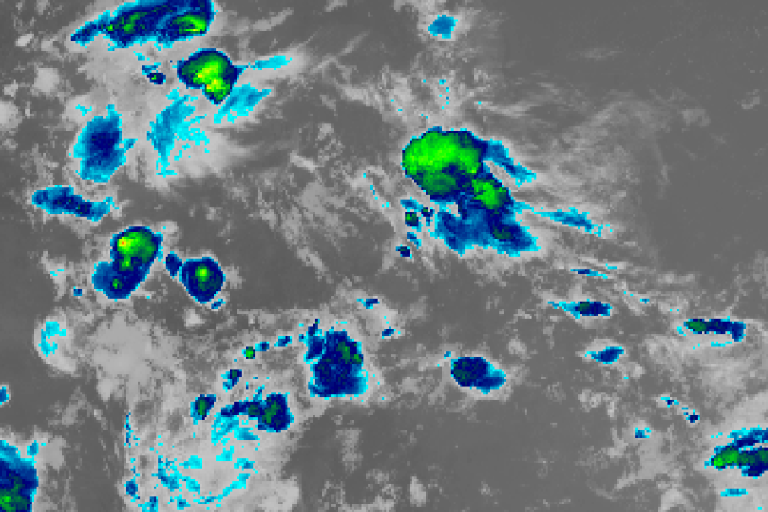
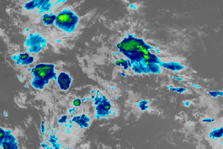
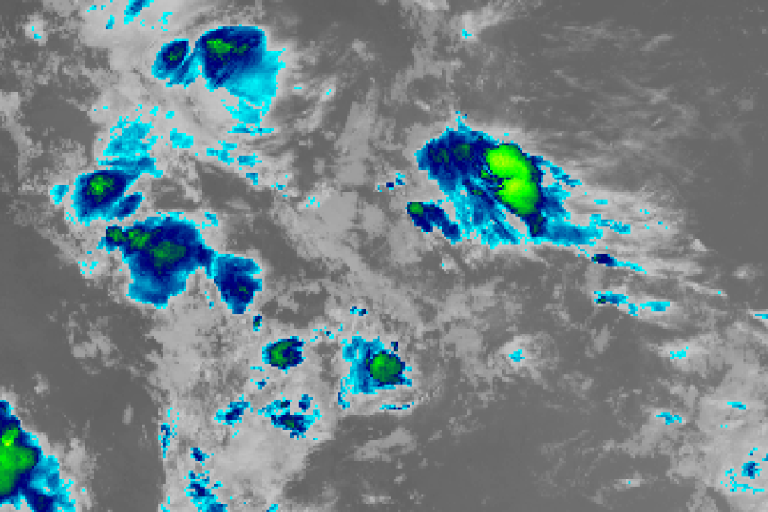
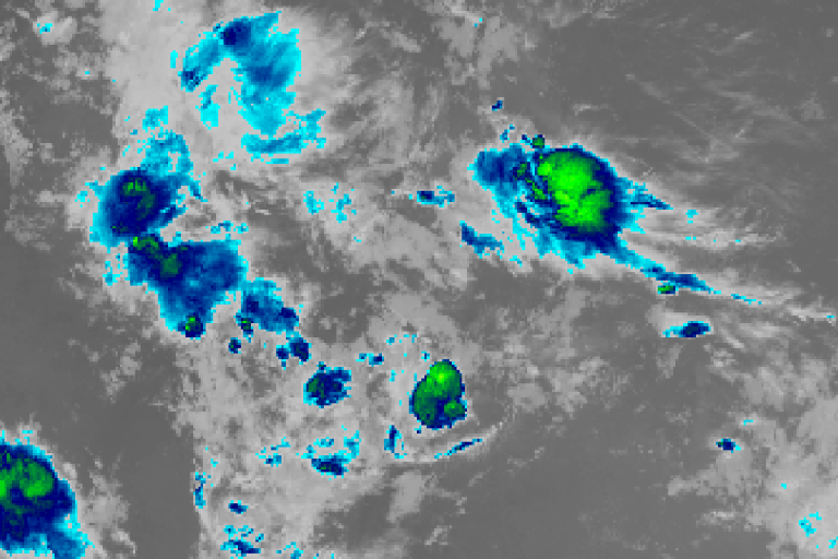
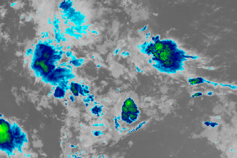
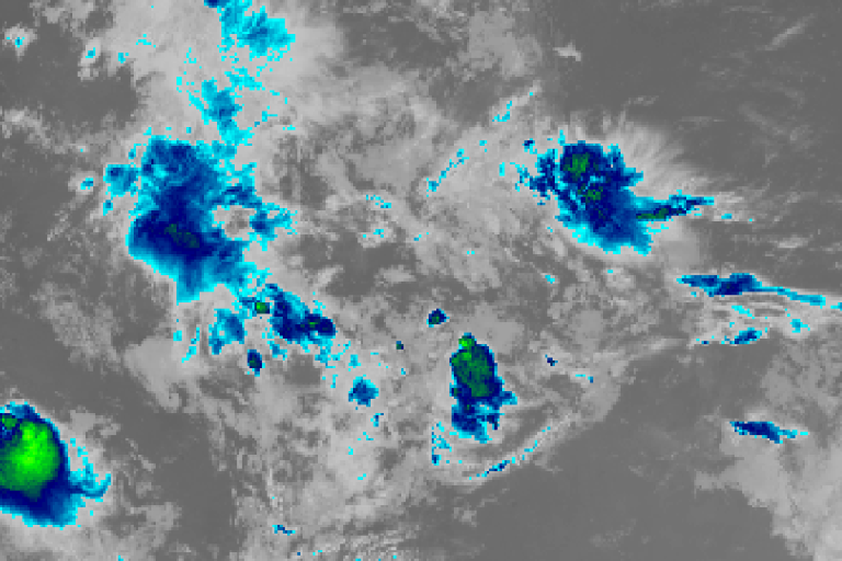
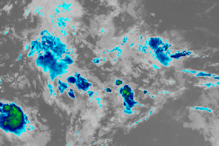
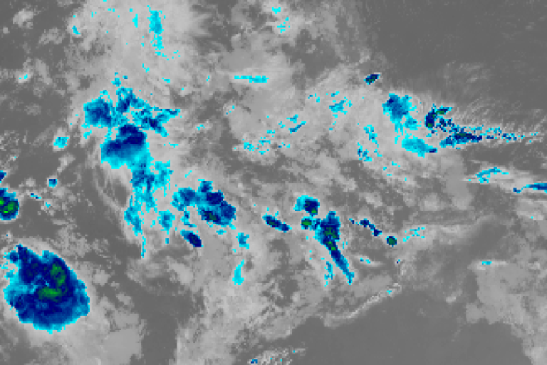
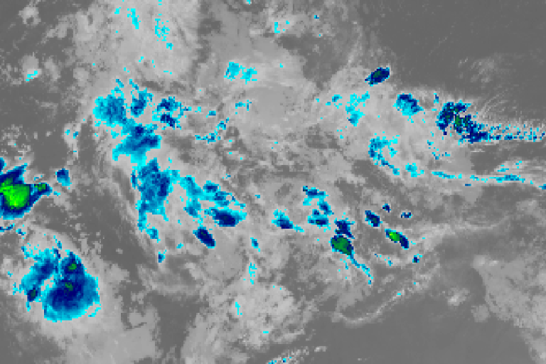
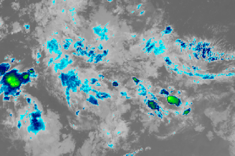
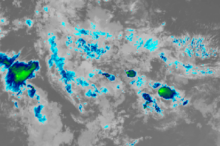
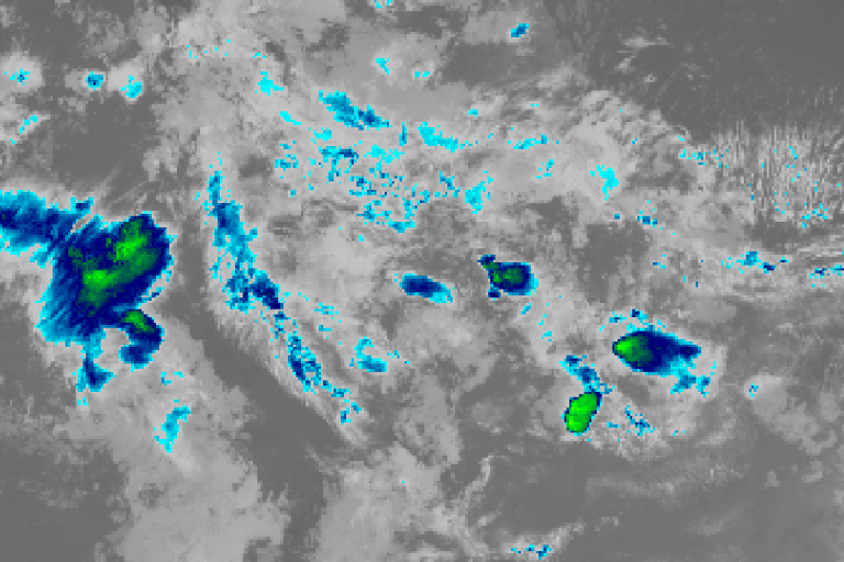
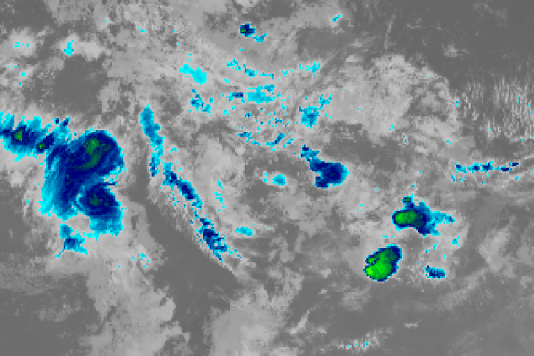
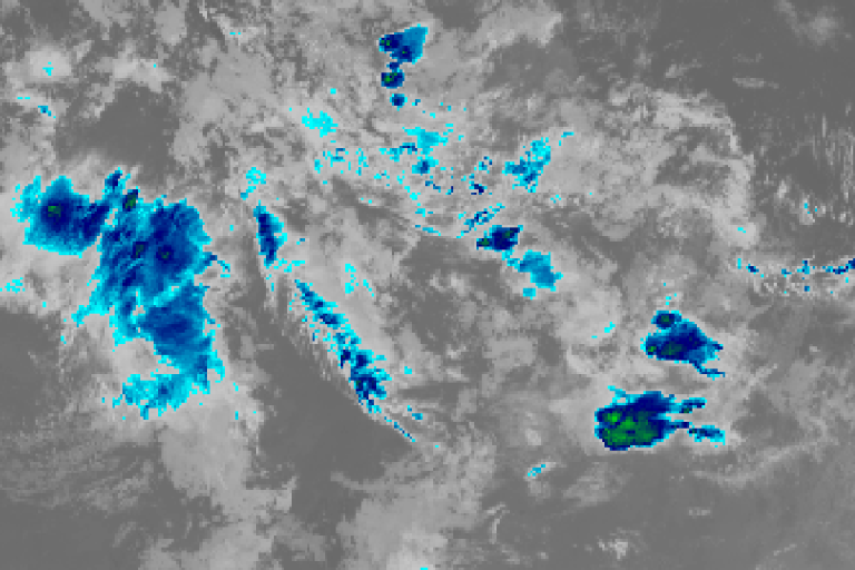
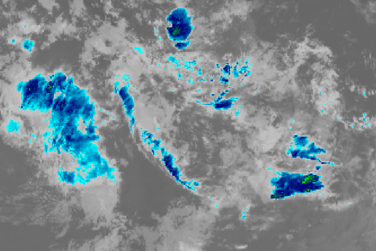
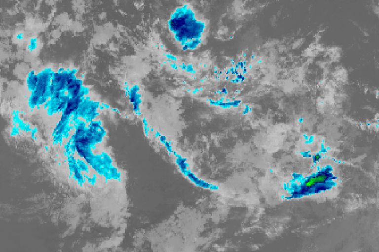
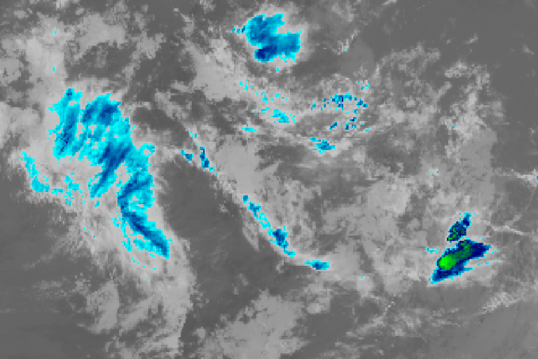
Satellite 9:00am AESTSatellite 9:50am AESTSatellite 10:40am AESTSatellite 11:30am AESTSatellite 12:20pm AESTSatellite 1:10pm AESTSatellite 2:00pm AESTSatellite 2:50pm AESTSatellite 3:40pm AESTSatellite 4:30pm AESTSatellite 5:20pm AESTSatellite 6:10pm AESTSatellite 7:00pm AESTSatellite 7:50pm AESTSatellite 8:40pm AESTSatellite 9:30pm AESTSatellite 10:20pm AESTSatellite 11:10pm AESTSatellite 12:00am AESTSatellite 12:50am AESTSatellite 1:40am AESTSatellite 2:30am AESTSatellite 3:20am AESTSatellite 4:10am AESTSatellite 5:00am AESTSatellite 5:50am AESTSatellite 6:40am AESTSatellite 7:30am AESTSatellite 8:20am AEST

Himawari satellite loop (infrared) · 9:00am AEST – 8:20am AEST · Imagery: JMA Himawari via NASA GIBS


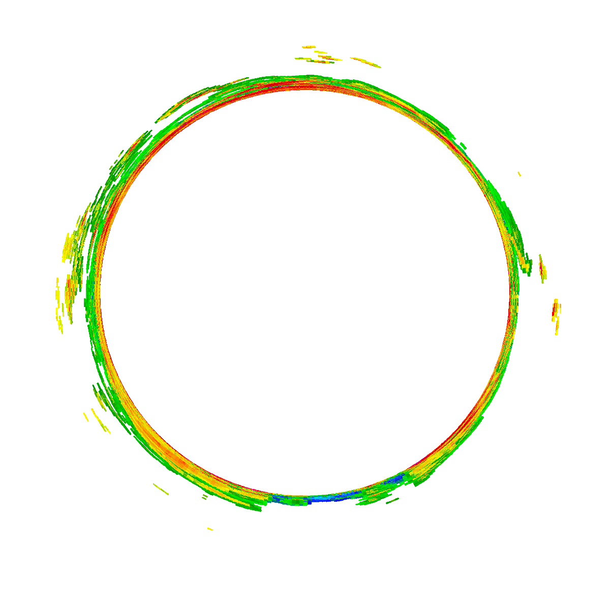
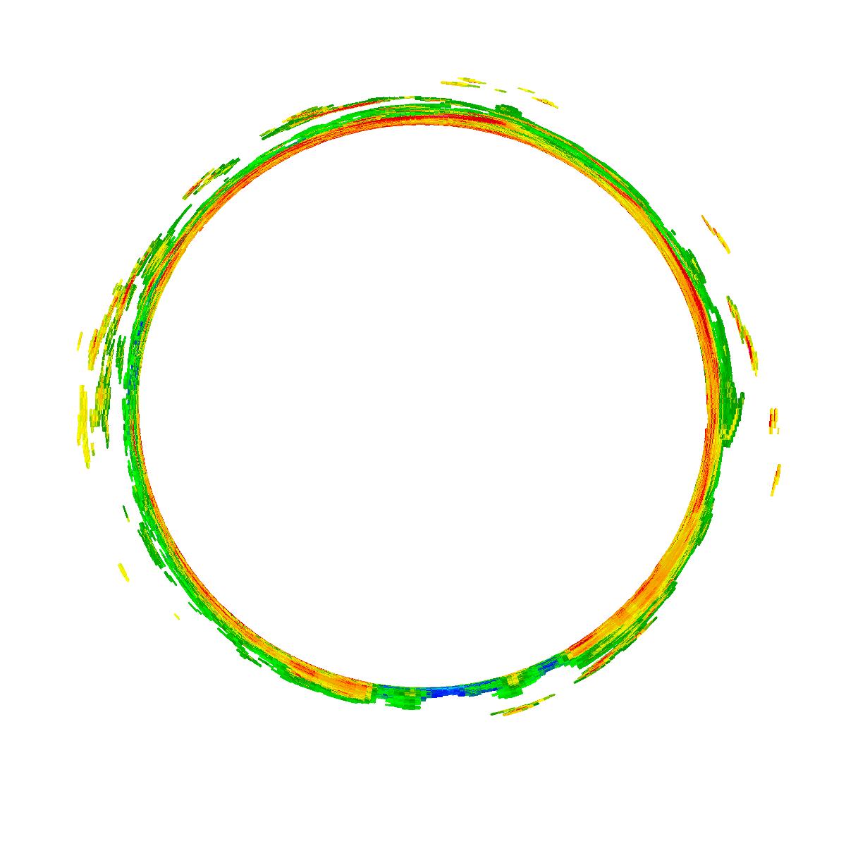
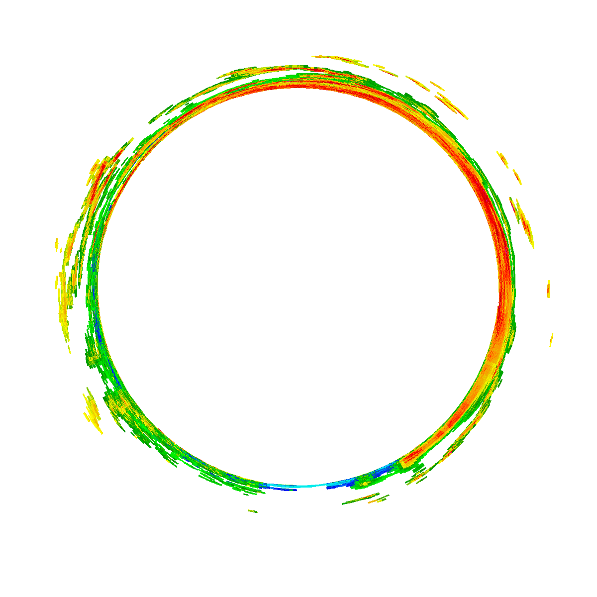
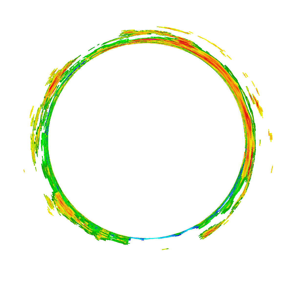
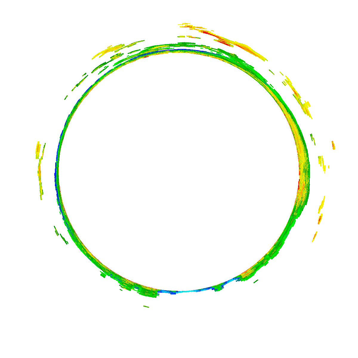
Radar 9:00am AESTRadar 9:35am AESTRadar 10:10am AESTRadar 10:45am AESTRadar 11:20am AESTRadar 11:55am AESTRadar 12:30pm AESTRadar 1:05pm AESTRadar 1:40pm AESTRadar 2:15pm AESTRadar 2:50pm AESTRadar 3:25pm AESTRadar 4:00pm AESTRadar 4:35pm AESTRadar 5:10pm AESTRadar 5:45pm AESTRadar 6:20pm AESTRadar 6:55pm AESTRadar 7:30pm AESTRadar 8:05pm AESTRadar 8:40pm AESTRadar 9:15pm AESTRadar 9:50pm AESTRadar 10:25pm AESTRadar 11:00pm AESTRadar 11:35pm AESTRadar 12:10am AESTRadar 12:45am AESTRadar 1:20am AESTRadar 1:55am AESTRadar 2:30am AESTRadar 3:05am AESTRadar 3:40am AESTRadar 4:15am AESTRadar 4:50am AESTRadar 5:25am AESTRadar 6:00am AESTRadar 6:35am AESTRadar 7:10am AESTRadar 7:45am AESTRadar 8:20am AESTRadar 8:55am AEST

Bureau radar loop, Longreach · 9:00am AEST – 8:55am AEST · Radar data: Bureau of Meteorology (CC-BY 4.0)

This event was expected however, some of the rainfall totals that has occurred to date has far exceeded the initial forecasts that were made by the Bureau of Meteorology.

The event was widespread with rain and shower activity extending further south into New South Wales and reaching as far south as Sydney but rainfall totals were not exceptional.

During the period 9 am Wednesday morning to 9 am Friday morning covering two days, rainfall totals across parts of southeast Queensland reached or exceeded 200 mm on both days at a few locations.

There were instances of flooding including flood rescues being made due to the exceptional October rainfall that fell.

The event has occurred during an El Nino year and such rainfall has broken a dry period. For the 24 hours to 9 am Thursday morning, some of the highest rainfall totals include:
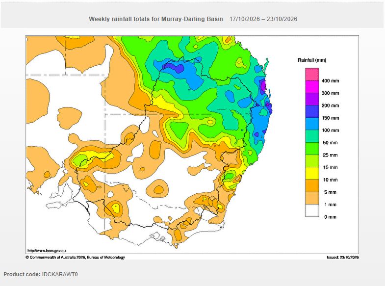
Water and the Land - Cumulative weekly rainfall totals for the 7 day period to 9 am Friday morning. Note the amount of rainfall that fell across parts of southeast Queensland where cumulative totals have exceeded 300 mm.
Water and the Land – Cumulative weekly rainfall totals for the 7 day period to 9 am Friday morning. Note the amount of rainfall that fell across parts of southeast Queensland where cumulative totals have exceeded 300 mm.
  • Caboolture WTP and Sheep Station Creek – 263 mm.
  • Round Mt Reservoir – 247 mm.
  • Caboolture (Pumice Stone Road) – 217 mm.
  • Burpengary (Matthew Crescent) – 215 mm.
  • Poona Dam HW – 178 mm.

Across Brisbane city, rainfall totals ranged from 50 to 99 mm with isolated totals just topping 100 mm for the same period.

  • Across the hills to the immediate west of the Gold Coast – 100 to 160 mm fell.

Moderate to heavy falls extended into the far northeast corner of New South Wales with numerous weather stations receiving 50 to 99 mm but certainly not fully matching the amounts that fell further north.

For the 24 hours to Friday morning, isolated rainfall totals again topped 200 mm being:

  • Diddillibah – 207 mm.
  • Poona Dam – 191 mm.
  • Nambour – 186 mm.
  • Nambour Daff – 178 mm.

Such rainfall totals (Cumulative totals exceeding 300 mm) is not common during October and certainly not common during an El Nino year. This is another example of a major rain event that is unusual for an El Nino year and spring 2026 across Eastern Australia.
Open the storm map around QLD

More storms near QLD

All storm reports from QLD →

Also on 22 October

After the storm Hail damage repair Hail dents removed from behind, factory paint kept. Hail Dent Repair. Chase with us Chase a storm for real Guided storm chasing tours in Australia and Tornado Alley. See Thunderbolt Tours.
Coming soon Radar and storm forecasting Live radar tools and severe storm forecasts from the Extreme Storms team.