Given the anticipation of a significant thunderstorm event, Jimmy and myself undertook a storm chase to north west New South Wales. We left Sydney after 8 pm Tuesday and drove north to Musslebrook where we spent the remainder of the night at a BB.
Early Wednesday morning, we drove to Tamworth where we enjoyed breakfast. Mid morning an isolated thunderstorm cell had developed well to the north west of Gunnedah which tracked south east.
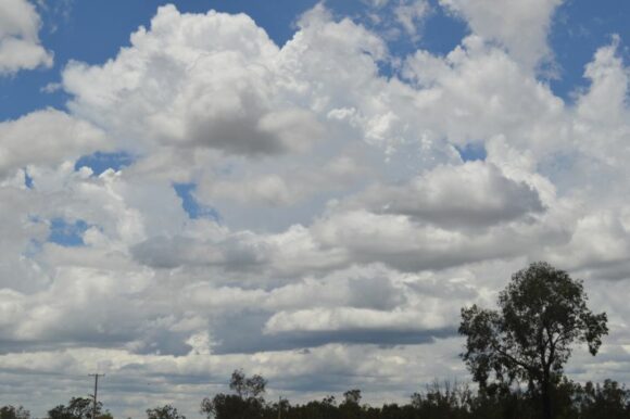
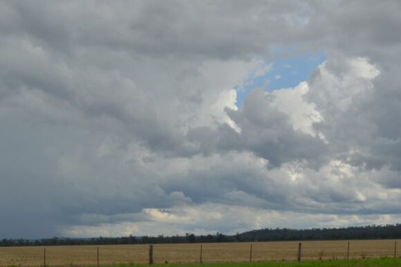
We drove west to Gunnedah then north west to Boggabri to intercept the storm cell but it appeared to weaken.
We were expecting new storms to initiate early then clear the region early afternoon hence we were chasing early. The aim was to intercept what occurred within the region then follow the weather system back to Sydney.
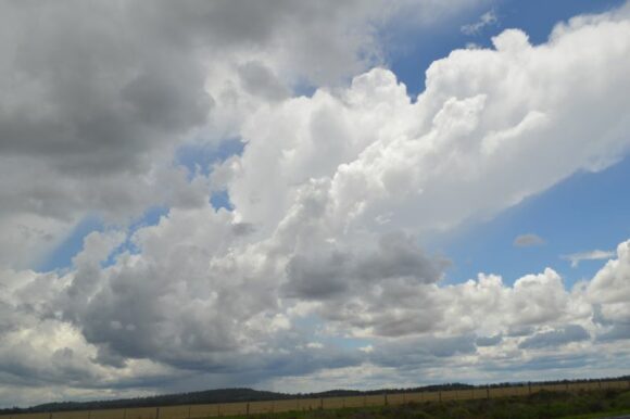

Storms struggled to develop and eventually the wind change and drier air overtook us. Around Mallaley west of Gunnedah, the storms that had developed collapsed quickly leaving us with little option than to head east as fast as possible to catch up with the system to our east.
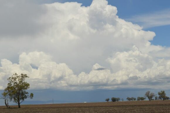
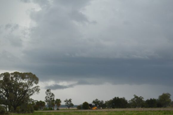
We managed brief stops along the way to take photos of developing storms to our east and north east.
Nearing Maitland, we made good headway in catching up with the system. A stronger storm cell formed over Newcastle then quickly moved off the coast.
We returned to Sydney early evening following this chase.
Weather models initially suggested that the north west slopes and plains would be the focus of some significant storm activity but what occurred was much less than that expected.
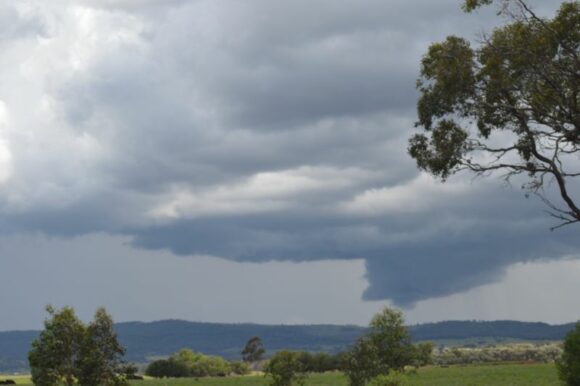
Thunderstorms did form within our target area and there were plenty of opportunities to take photos of storm cells with good contrast but the storms were short lived and collapsed quickly.
The photos attached shows some of these cells developing and at a time of peak intensity.
This event provided a good opportunity to undertake the first storm chase of the season which to date has been poor.
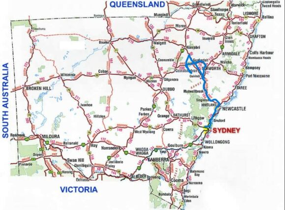
I have also attached a map of New South Wales showing our chase route edged in blue. I have calculated that we drove approximately 1,172 km during this chase.
Off course, this was part of a much broader and significant weather event impacting much of New South Wales but this will be covered as a separate statement.
