An intense low pressure system has crossed the entire southern part of Australia over the past 7 days.
While it brought useful rain across large areas, rainfall totals were not excessive in nature.
The weather system first impacted southern Western Australia during the 30 and 31 May. The system produced strong to gale force winds including damaging wind gusts that exceeded 100 km/h at times.
During Sunday 31 May, peak wind gusts topped 135 km/h at Cape Naturaliste and 133 km/h at Cape Leeuwin.
Verified peak wind gusts during Sunday include:
- Cape Naturaliste – 135 km/h at 5.33 pm.
- Cape Leeuwin – 133 km/h at 4.56 pm.
- Busselton Jetty – 120 km/h at 6.39 pm.
- Mandurah – 104 km/h at 8.07 pm.
This was enough to cause power outages and property damage and trees were brought down.
Widespread rainfall of 15 to 50 mm was common across the southwest portion of Western Australia. The heavier rainfall totals include:
- Busselton Airport – 50.6 mm to 9 am Sunday morning.
- Manjimup – 47.4 mm to 9 am Sunday morning.
- North Island – 31.2 mm to 9 am Sunday morning.
The weather system moved quickly across Western Australia into South Australia during Sunday and Monday.
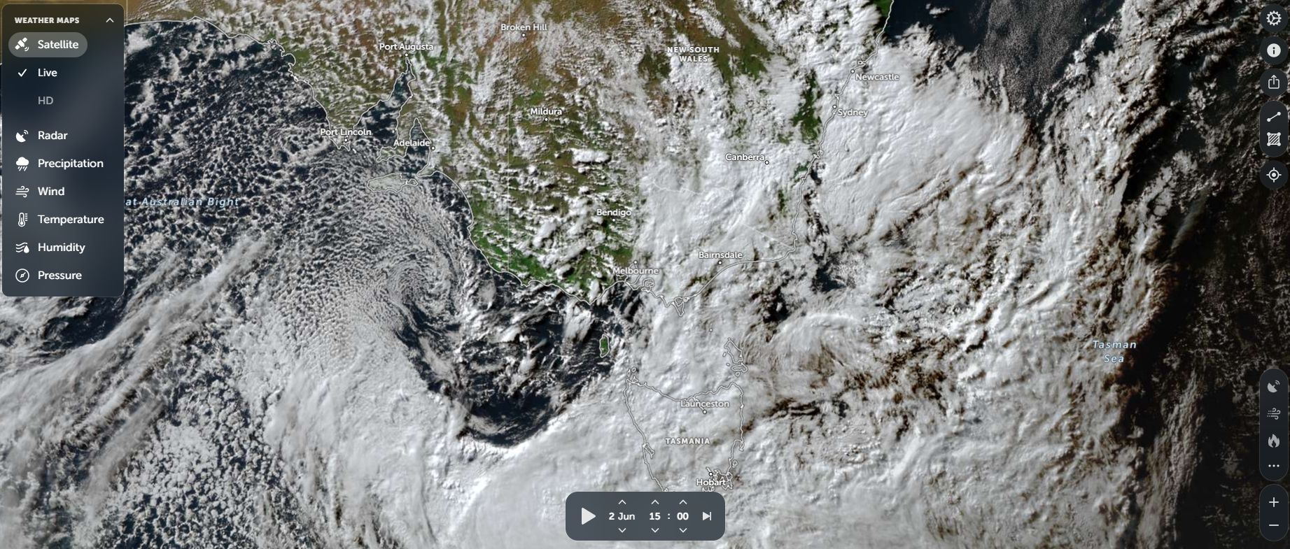
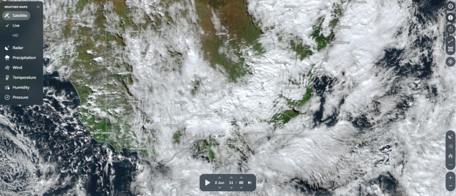
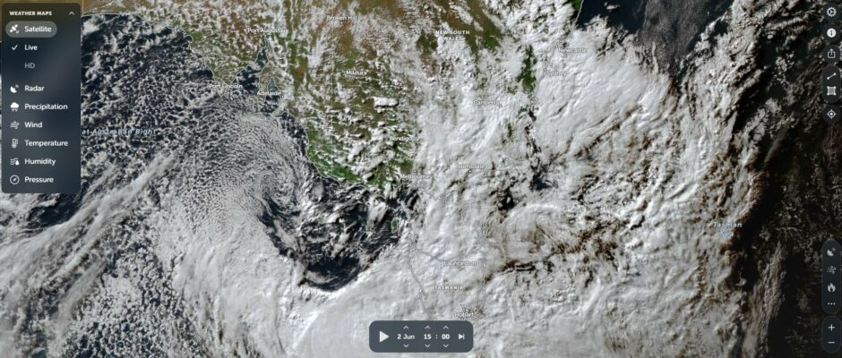
The system then reached Victoria and New South Wales during Monday and Tuesday where moderate rainfall totals occurred.
The main cloud mass from the system produced rainfall exceeding 50 mm at a few locations across Northeast Victoria including:
- Charnwood – 65.4 mm.
- Mt Buffalo Chalet – 61.8 mm.
- Handcocks – 58.8 mm.
- Cheshunt – 58.6 mm.
All totals to 9 am Tuesday morning.
Overall, the system produced general widespread 15 to 50 mm across large areas of Victoria Monday night and into early Tuesday morning. The falls were useful but not excessive.
Rainfall from the system was mostly lighter as it passed over New South Wales.
Following the main rain band, cold weather, shower activity and even snowfall prevailed across the higher elevations of Victoria and New South Wales which is common for winter frontal systems.
Except for the Snowy Mountains and the highest elevations of Victoria, peak wind gusts were nowhere near as intense as those experienced across southwest Western Australia. Peak wind gusts across the Snowy Mountains of New South Wales include:
New South Wales
- Thredbo Top Station – 133 km/h on June 2 and 117 km/h on June 3. It must be remembered that the weather station sits at an elevation of 1,957 metres and thus, such wind is expected from such weather systems.
- Cabramurra (Snowy Mountains at 1,482.4 metres in elevation) – 93 km/h.
Winds were lighter at lower elevations.
Victoria
- Mt Hotham – 94 km/h (Elevation 1,849 metres and near the summit).
- Falls Creek – 93 km/h (Elevation – 1,765 metres).
- Mt Buller – 85 km/h (Elevation – 1,707 metres).
The weather stations are located in northeast Victoria within the snow fields.
Winds were lighter at lower elevations.
The cumulative 7 day rainfall totals for the week ending 9 am Friday 5 June 2026 including the shower activity that occurred include:
New South Wales
- Cabramurra – 107.4 mm.
- Orange Airport – 72.6 mm.
- Albury Airport – 34.4 mm.
- Wagga Wagga – 33.6 mm.
Outside the slopes and ranges, rainfall was relatively light.
South Australia
Adelaide had 30 to 126 mm with lighter falls on the coast and heavier falls across the Adelaide Hills. Amazingly, falls dropped to 6 to 20 mm on the eastern side of the Mt Lofty Range where a rain shadow effect occurred.
Victoria
- Archerton – 116.2.
- Falls Creek – 113.8 mm.
- Hunters Hill – 98 mm.
- Eurobin – 91.2 mm.
- Dederang – 77.4 mm.
- Ballarat – 45.8 mm.
Attached are two Zoom Earth satellite pictures (NASA Zoom Earth) showing the weather system passing over southern Australia during Tuesday 2 June 2026.