Extreme Storms

Hailstorms · Lightning

Severe Storms Southern Tablelands 4th December 2014

· by Jimmy Deguara

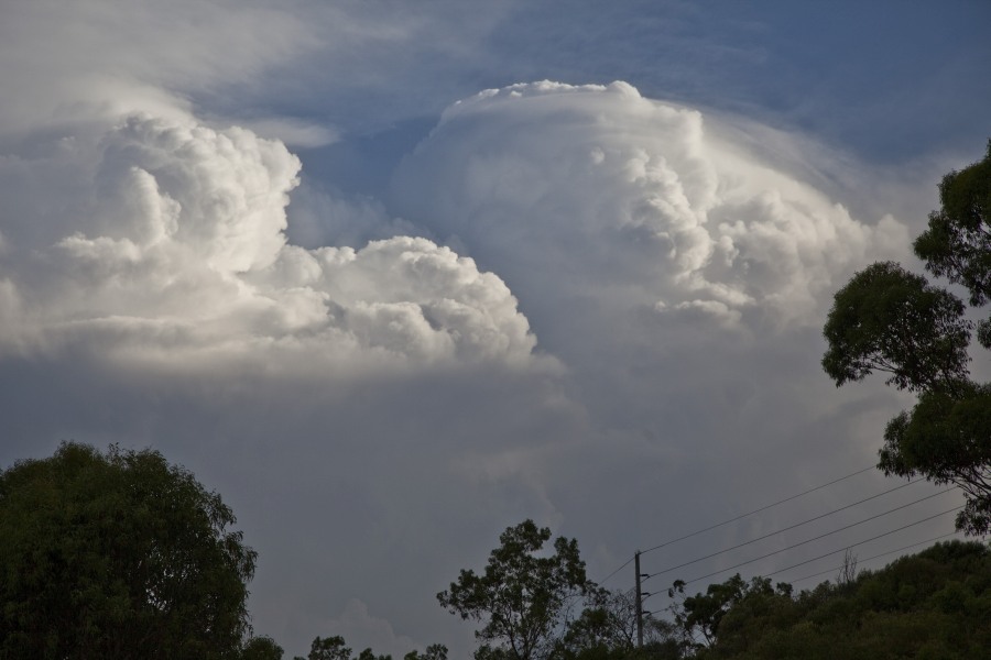
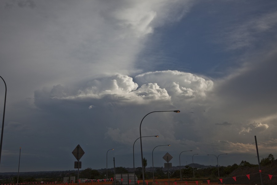
Storm Updafts
Storm Updafts
Storm Updafts and Pileus
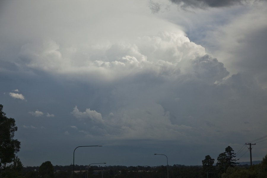
Storm Updafts south of Camden
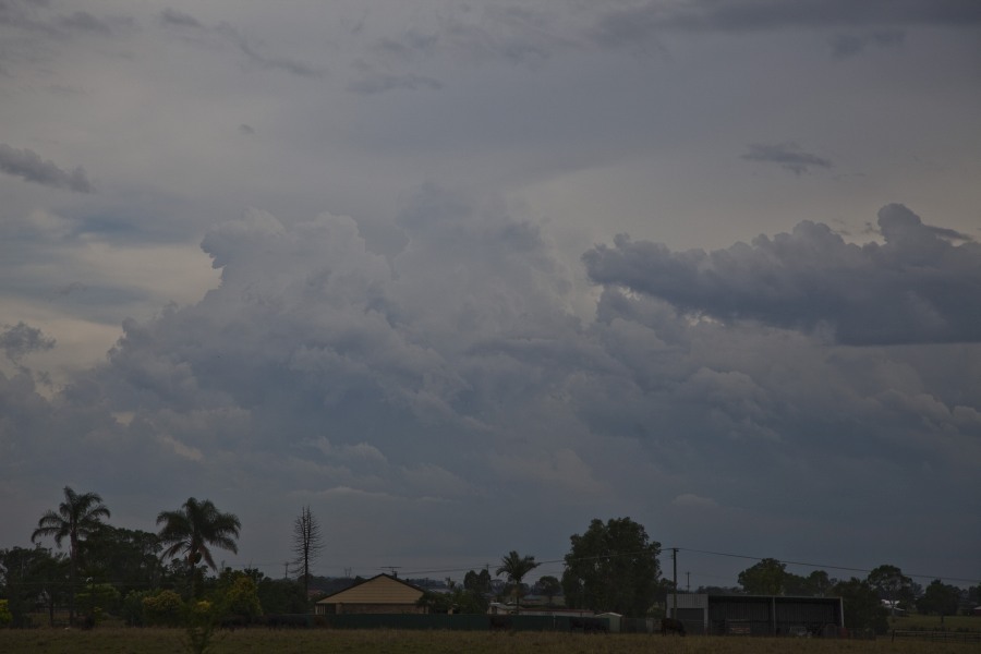
Storms developing
Storms developing

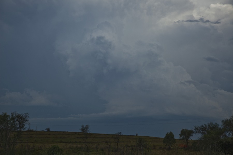
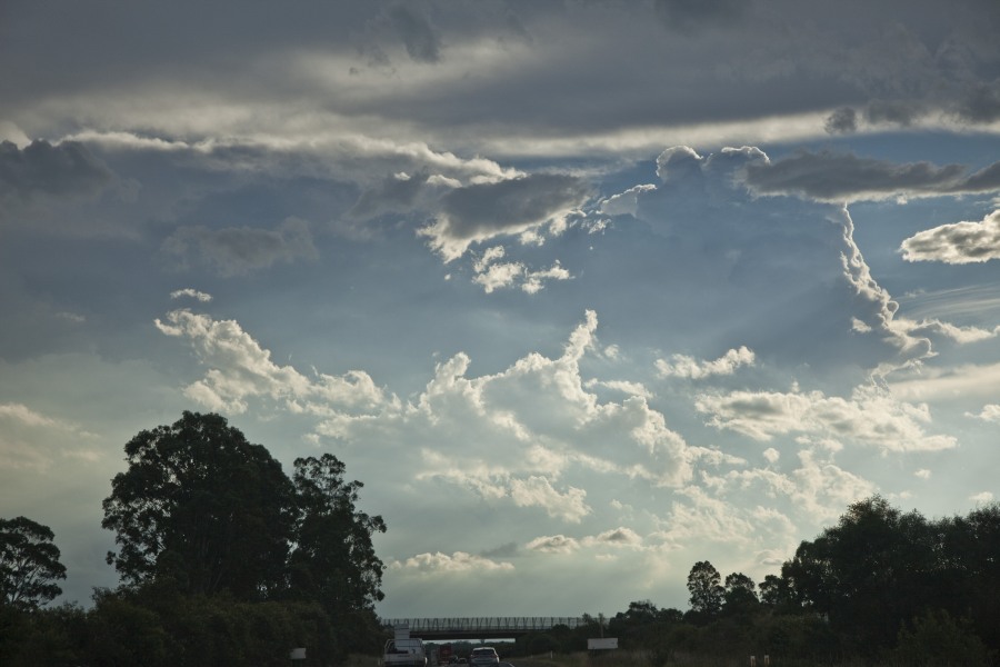
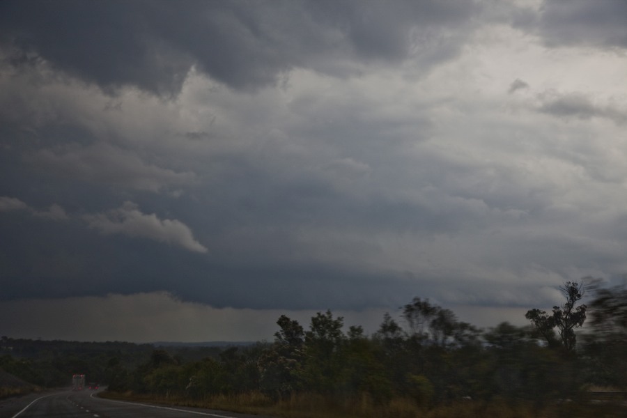
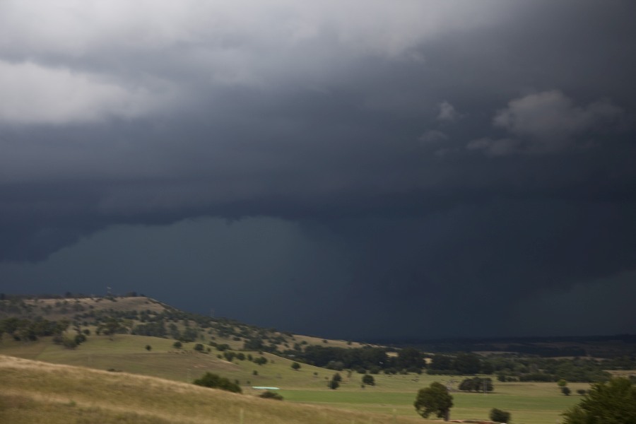
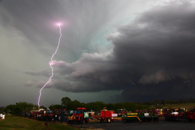
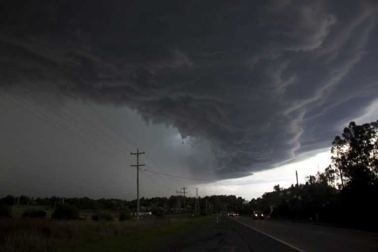
With ample moisture still in place, another round of storm activity developed in the western Sydney region and across other parts of NSW to the north. The Southern Tablelands struggled due to a dry air punch coming through reducing the available moisture locally. The first storms developed over the Wollemi National Park and moved towards Bilpin and Richmond. Unfortunately, this effectively cooled the atmosphere and with anvil clouds, there was little chance of recovery. On the same token, a boundary was laid out and moved towards the Southern Tablelands and Appin region. With the sea breeze boundary moving in, a cluster of cumulus developed along this boundary and finally a storm developed rapidly south of Appin. This system also back-built with large towers.
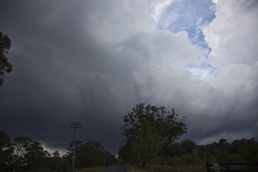
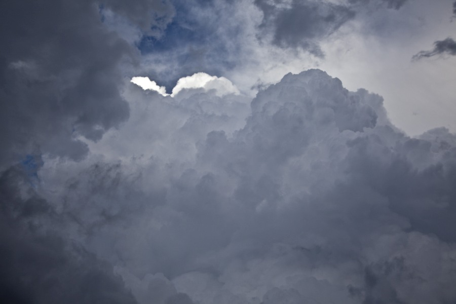
Under storm base and updrafts Hilltop
Storm updraft and inflow into the base - storm split
Storm updraft and inflow into the base – storm split
More storms exploding to the south over the Southern Tablelands
Approaching storm base Southern Tablelands near Moss Vale
Storm base last in a line

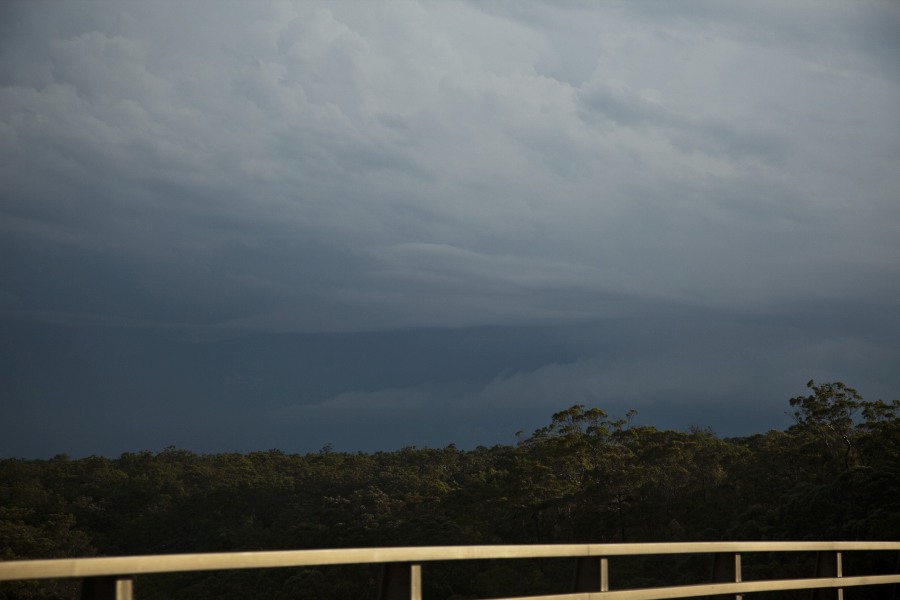
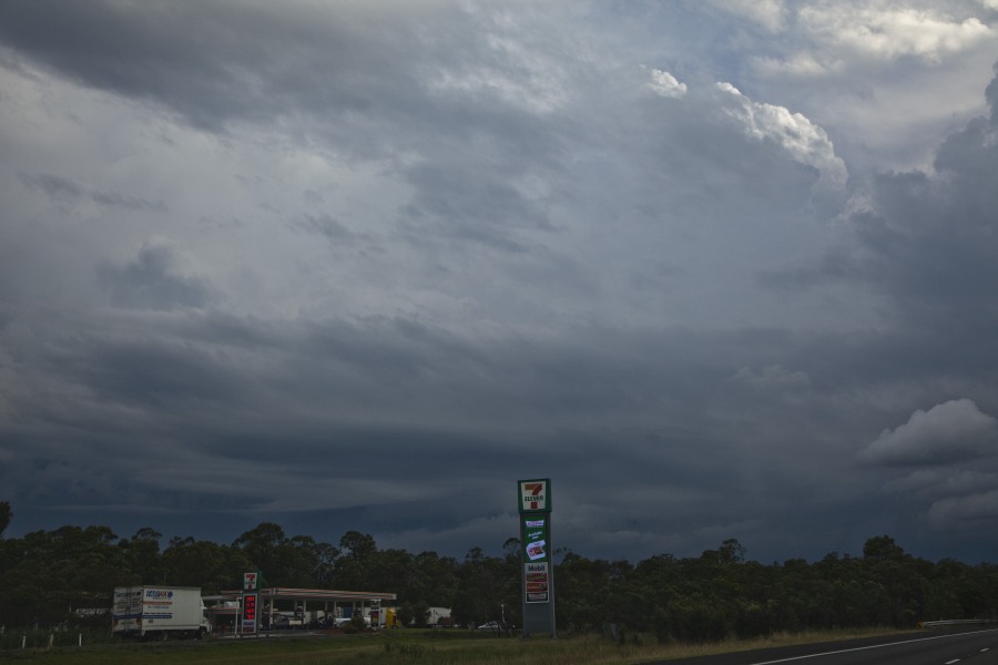
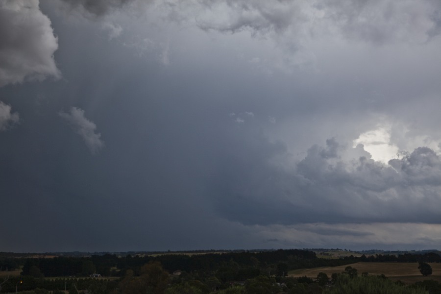
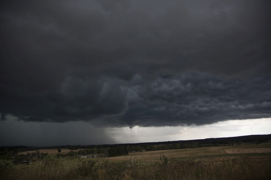
Further storms consequently developed south of this storm and back built westwards towards Moss Vale and Bundanoon area. It formed a line along this linear zone. Heavy rain and likely hailstones would have developed from these storms. Further storms developed near Muralan and then a squall line followed from the west.
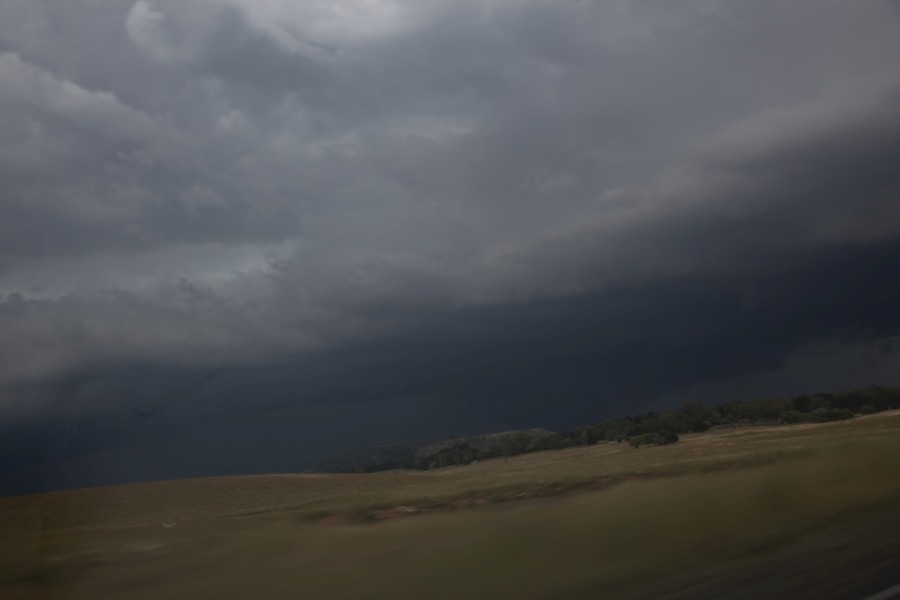
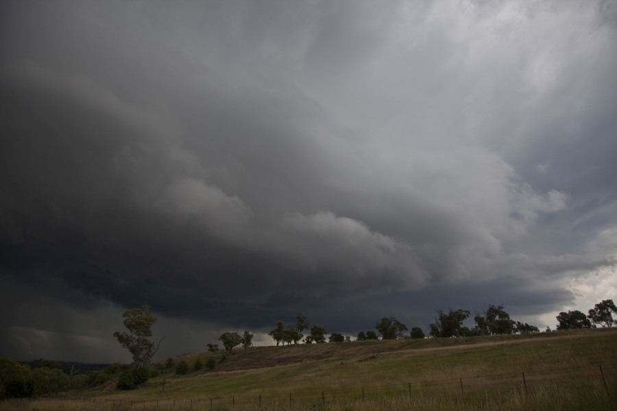
False "tornado" scud from cold outflow
False “tornado” scud from cold outflow
Approaching storm base
Thick scud indicative of cold outflow in the hail core
New updraft develops behind the storm complex
Moisture laden base and hail shafts
Open the storm map around Bundanoon, NSW

More storms near Bundanoon, NSW

All storm reports from Bundanoon, NSW →

Also on 5 December

Add a comment

After the storm Hail damage repair Hail dents removed from behind, factory paint kept. Hail Dent Repair. Chase with us Chase a storm for real Guided storm chasing tours in Australia and Tornado Alley. See Thunderbolt Tours.
Coming soon Radar and storm forecasting Live radar tools and severe storm forecasts from the Extreme Storms team.