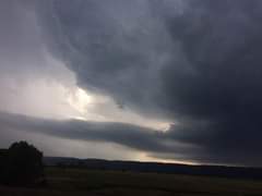
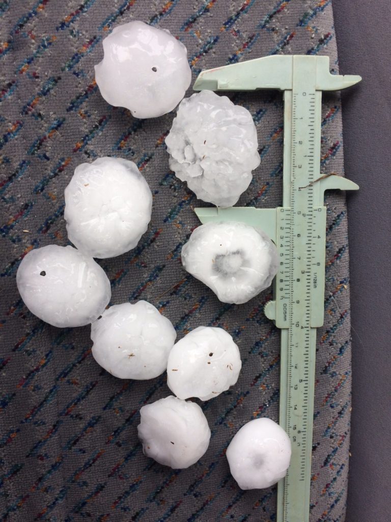
It seems there is a hint of thunderstorms beginning to be in the picture from the 22nd October over eastern NSW and lingering for some time. Obviously this depends on moisture availability. GFS has been very unreliable with predictions of moisture particularly inland around the Central West this season as with other seasons. The coastal areas are struggling with moisture but nowhere near as serious. This means Sydney and further north to the mid-north coast are in for a chance of storms over the coming days.
Meanwhile, bushfires continue to threaten communities over northern NSW and Queensland. I am certainly surprised to see Rockhampton during October getting serious fire behaviour. Personally, I have yet to see bushfires mentioned in the news so far north into the tropics. At least though the dust storms have eased for the time being.
Jimmy