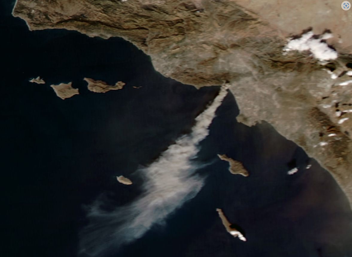
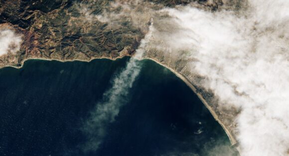
The Sentinel 2 satellite (European Space Agency) has captured a dramatic image of the Pacific Palisades fire in Los Angeles shortly after it took hold. The smoke plumes travel to the south over the Pacific Ocean - Feature Image.
The MODIS (Moderate Resolution Imaging Spectroradiometer) instrument on NASA’s AQUA Satellite has captured the Eaton fire burning to the north of the city (First image).
The two fires as well as 4 others have created upheaval for at least 200,000 residents who are under evacuation orders.
By January 8, there were 5 major fires burning which has now grown to 6. Following good rains of winter 2023, the ground has since dried out. Now that drought has returned and coupled with the effects of the Santa Ana winds gusting to at least 160 km per hour in some parts of the region, the fire danger reached catastrophic levels.
The mountains and hills that cross the city to the north are rugged and difficult to access. Of course, the San Andreas fault and other fault lines pass through the area which also makes access and passage more difficult.
The Santa Ana winds occur almost every year between October and January when a pressure gradient builds between the Great Basin to the east and the coastal areas to the west. Winds stream over and through mountain passes and downward into the Los Angeles area. They warm and speed up creating dangerous fire conditions. The Santa Ana winds only ease when the pressure gradient weakens.
I have been into this part of Los Angeles during 2007. What I noted is that the mountains have steep slopes. The brush scrub was dry and ready to burn. Access is difficult due to the terrain and there were urban areas perched into the hills and valleys.
Now with 27 fatalities and at least 12,102 buildings (Mainly houses) known to have been burnt or damaged, no doubt questions are being asked as to what happened and why.
There are reports of issues ranging from the lack of water to reservoirs being drained to save specific frog species as well as a possible ignition for at least one fire being sparks from an illegal fireworks display on new years eve.
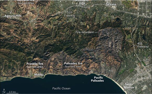
Leaving the politics of the disaster to one side and the loss of expensive homes by famous Hollywood Celebrities, this is likely to be California's most costly fire disaster event ever once the flames are finally extinguished. Preliminary estimates range from $135 billion upwards to $150 billion and losses continue to mount.
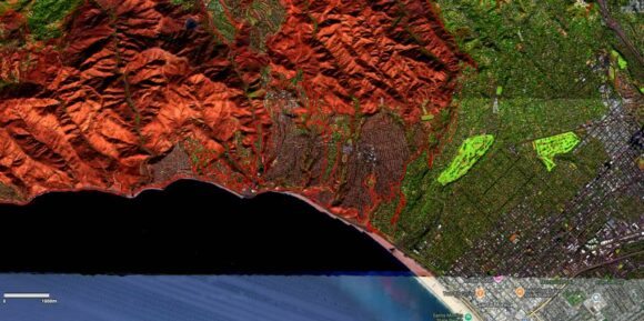
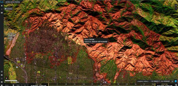
Interesting, the fires have scorched approximately 35,000 acres which is converted to just over 14,150 hectares. While the fires are relatively small in area, they have scorched areas adjacent to and within built up areas making this a costly event that will take years to recover from.
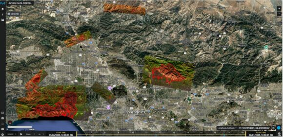
The AVIRIS Data Portal (Operated by NASA but can be calibrated to obtain desired images) provides an incredible image of how much of Los Angeles has been affected by the events which emphasis on the Eaton and Palisades fires.
Note: At the time of writing, the fires are still burning but at least not spreading rapidly.
