The thunderstorm event of Thursday 11 December 2025 is part of a three day storm event to impact the inland northern and central west regions of New South Wales. However, I considered Thursday to be the best day for storm events. I had spent several days reviewing this event and I was initially concerned that the best area for thunderstorms would be to the west of Dubbo around Cobar and Nyngan where roads are limited.
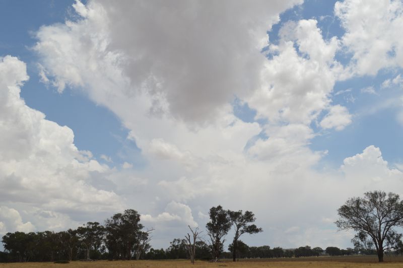
I reviewed the weather models again on Thursday morning and I was delighted to discover that the better region for thunderstorms would at least be 150 km further east which placed the area between Orange / Wellington / Dubbo as a matter of interest.
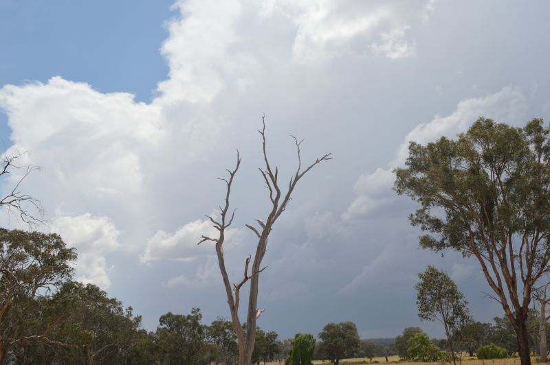
I gave this some attention as I knew that I could easily drive from Western Sydney to near Dubbo and back within a day without the need for spending a night within the region.
I decided to launch a storm chase focussing on an area around Molong to Wellington and if necessary, the Dubbo region.
Driving west, I encountered a number of localised weather events as follows:
- Leaving Sydney – Cloudy with low level stratus cloud and alto stratus cloud.
- Katoomba – Low cloud or fog and even drizzle at times.
- Bathurst – Partly cloudy and warming up including some sunny breaks.
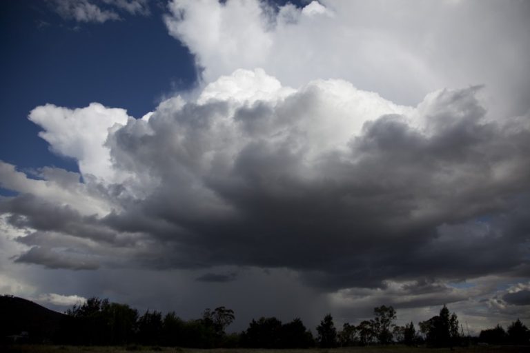
- Orange – Partly cloudy but more cumulus cloud across the sky including cumulus mediocris clouds (Medium sized cumulus clouds).
When reaching Orange mid to late morning, the presence of cumulus mediocris clouds suggested a future thunderstorm event and the early clues were being realized.
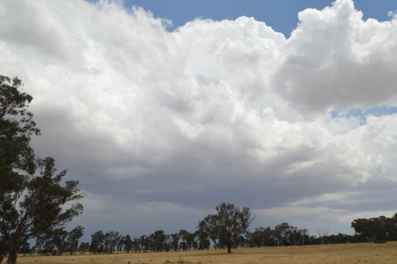
I then reached Molong then north towards Wellington where low 30C temperatures were encountered including a northeast to northerly breeze.
I had lunch at a rural location so I could work out the behaviour of the clouds. I was also hearing the sound of static on the ABC radio which suggested nearby lightning flashes but at first, I was unable to work out what direction this was coming from.
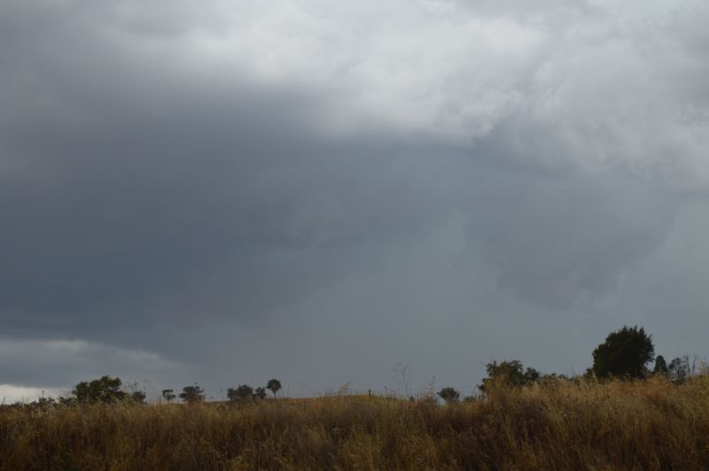
After stopping on top of a hill, I soon discovered that early thunderstorm cells were developing in the distance to the south and west but some of the cloud towers were hidden by various nearby cloud forms.
A line of small thunderstorm cells continued to develop further north but east of a line of Forbes, Parkes and Dubbo or the Newell Highway linking the centres. This placed me in perfect position for one of the storms later on.
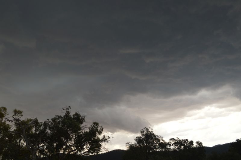
I noted that as the afternoon progressed, thunderstorms intensified further and stronger cloud towers and cumulonimbus cloud tops became evident. I also took note of a developing thunderstorm with a lowered base not too far to the south.
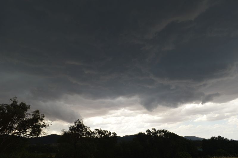
I drove south for 5 km and discovered a southeast wind change was enhancing what was going on.
I turned around and went back north towards Wellington where a thunderstorm was encroaching towards the town from the west.
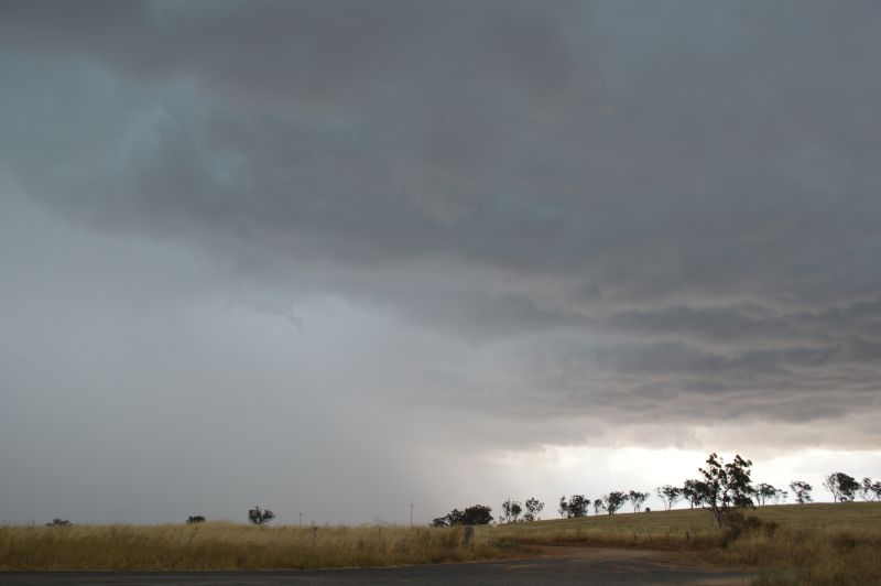
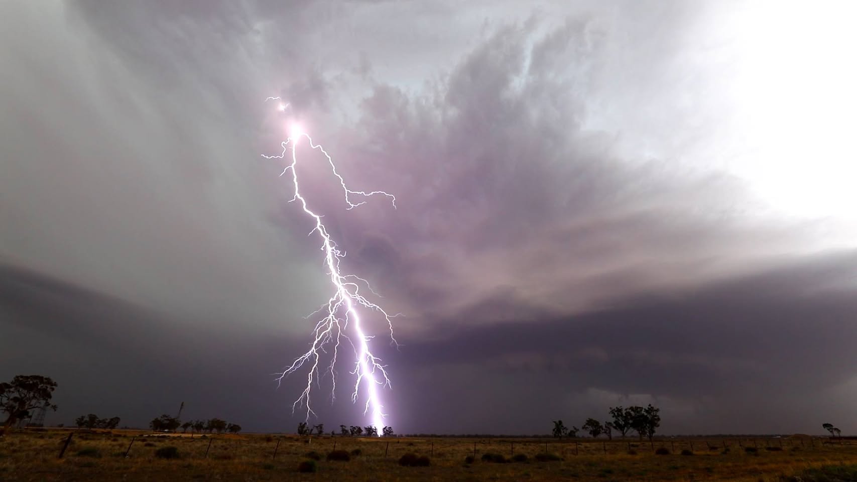
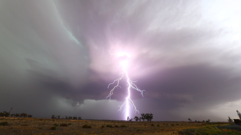
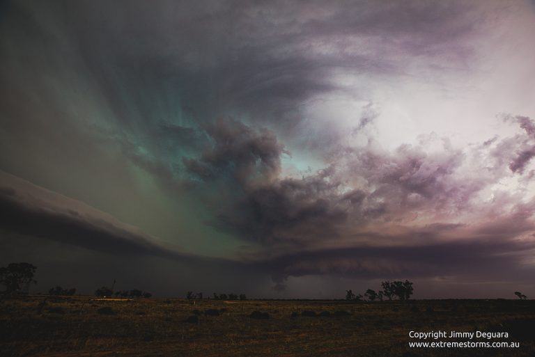
I managed to link the two together and decided to go after the weak storm cell which became a critical move. The relative weak storm developed and intensified fast as I approached the town. So much so, a large and dark rain free base developed which was brooding. After taking a few photos, some powerful cloud to ground lightning strikes began to occur with one very close to where I was. This produced a powerful thunderclap.
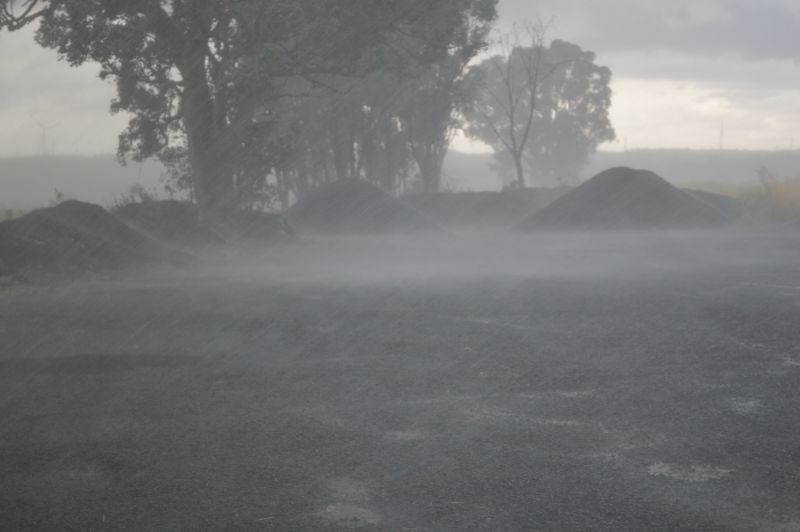
As I was driving into town, I encountered intense wind, some very large raindrops and a fresh hail core. While the hail, was in the order of 1 to 2 cm in size, this was driven by intense southeast winds. A reasonable amount of hail fell. This was followed by intense rain and potentially damaging wind.
I had effectively manoeuvred myself directly underneath a fresh and intense thunderstorm cell. The storm feature very heavy rainfall and intense winds that was strong enough to rip small branches from trees.
Interestingly, the cell moved east and conditions eased. Another solid cell was building north of town and I knew that I could catch up with it. After passing through Wellington, I turned onto Goolma Road and travelled at least 20 km along this road, passing underneath the cell and getting in front of it.
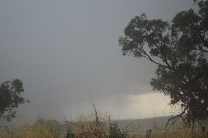
I encountered large rain drops and intense wind at times. As I could tell the storm was becoming linear, I parked off the road and decided to let another part of the storm pass right over me.
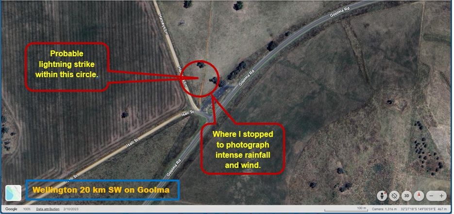
That area as shown on the map experienced intense wind and heavy and even torrential rain. Further, a lightning strike occurred in front of the car that was so close, the instant thunderclap shook the car. The proximity of the strike is suggested within the plot. Lucky I was inside the car due to the amount of rain coming down.
Following this, I returned back to Wellington where I watched another thunderstorm take shape to the west but given that the energy of the day had been lost, the storm merged with other nearby storms and a thundery rain event ensured which concluded the overall event.
I returned back to Sydney the same way I came and arriving back at Doonside at around 9.40 pm. Given that I intercepted two strong thunderstorms, a hailstorm and two very close lightning strikes, I considered the chase to be quite solid.
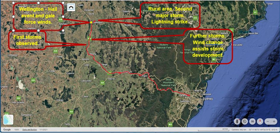
Photos attached show the various stages of storm development encountered throughout the day. I also attach a map of the days chase using Google Earth.
Distance travelled is approximately 698 km.