Extreme Storms

Storm report

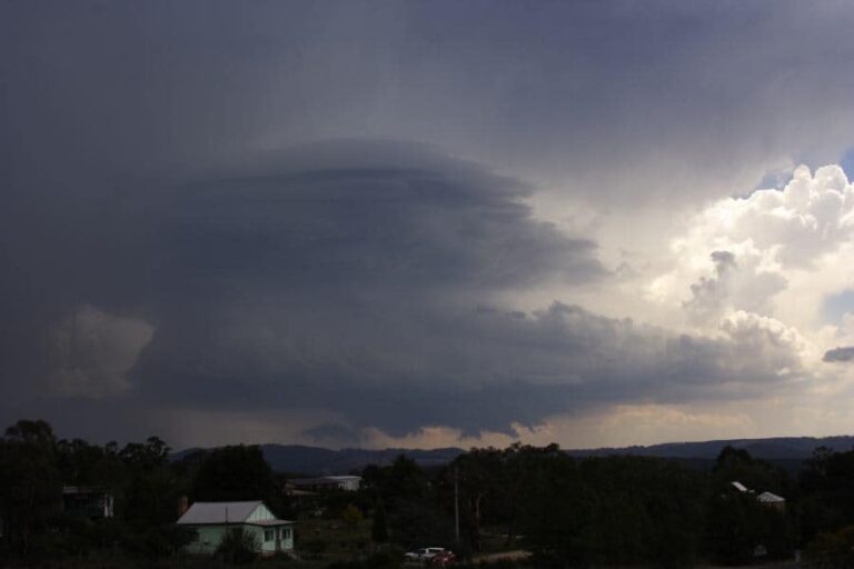
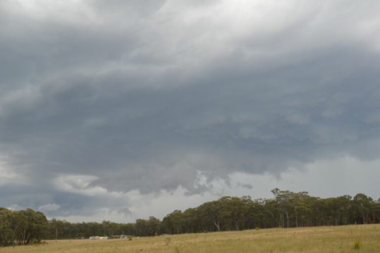
Storms Eastern NSW 14th March 2013

· by Jimmy Deguara

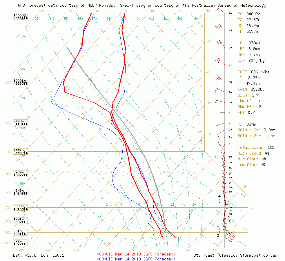
surface_lifted_indexThere is the chance of storms today in central eastern NSW. It is only a low chance but the storms will likely drifted northwards once they develop given the directional shear and velocities depicted on the hodographs. Surface Lifted Index values are probably enhanced by the fact moisture should be injected and fed inland.gfs.stormcast-sounding.bsch.init-2013031312z.fcst-2013031406.lat_-32.78_lon_150.07_custom-tdp_hodo-off
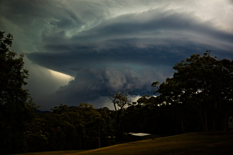
We will see where storms will develop and if they do persist, what direction they will flow and the regions affected! Not anticipating much personally. This morning did look somewhat a little unsettled though.
Open the storm map around Central eastern NSW

More storms near Central eastern NSW

Spectacular Storm Colo Heights 13th December 2025 14 Dec 2025 · Colo Heights, NSW Strong Thunderstorms and Storm Chase Central West New South Wales – Thursday 11 December 2025 12 Dec 2025 · Central West NSW Storm Chase Sydney to Mudgee and Merriwa – Includes Eastern New South Wales Storm Outbreak Saturday 15 November 2025 16 Nov 2025 · Mudgee to Merriwa, NSW Hot day ends with afternoon storms and Storm Chase – Eastern New South Wales – Friday 17 October 2025 18 Oct 2025 · Putty Road / Colo Heights, NSW Putty Road Supercell Storm Chase July 6th 2025 12 Jul 2025 · Putty Road, NSW Afternoon storms and storm chase Penrith to Howes Valley on Putty Road – Sunday 6 July 2025 12 Jul 2025 · Putty Road, NSW Significant cold outbreak with low level snow NSW and Victoria – 24 and 25 June 2025 28 Jun 2025 · Oberon, NSW Storms and storm chase Outer Western Sydney – Monday 14 October 2024 15 Oct 2024 · Outer Western Sydney, NSW This was a decent event Putty Road special – someone shit their pants – not sayi… 14 Mar 2023 · Putty Road, NSW The summer of 2022 / 2023 and Windsor Bridge – One year after the devastating March floods 4 Mar 2023 · Windsor, NSW Can’t believe this was 7 years ago quite niceTo say I was expecting what we saw today I would be lying – fuzzy anvils and slow storm motions. We onl… 12 Feb 2023 · Lithgow, NSW On February 7th 2007 Dave Croan, Paul Graham and I ventured on a leisurely chase and targeted a triple point high instability play. We were greeted wi… 7 Feb 2023 · Bathurst, NSW

All storm reports from Central eastern NSW →

Also on 13 March

3 comments

  1. A warning was issued for the region west of Lithgow -namely Orange and Bathurst this evening.

    NSW Severe Thunderstorm Warning: Large Hail, Heavy Rain, Damaging Winds

    Source: Bureau of Meteorology

    For people in parts of the
    Central Tablelands Forecast District.

    Issued at 6:18 pm Thursday, 14 March 2013.

    Severe thunderstorms are likely to produce large hailstones, heavy rainfall that may lead to flash flooding and damaging winds in the warning area over the next several hours. Locations which may be affected include Orange and Bathurst.

Add a comment

After the storm Hail damage repair Hail dents removed from behind, factory paint kept. Hail Dent Repair. Chase with us Chase a storm for real Guided storm chasing tours in Australia and Tornado Alley. See Thunderbolt Tours.
Coming soon Radar and storm forecasting Live radar tools and severe storm forecasts from the Extreme Storms team.