A rather difficult and challenging storm chase was undertaken during Saturday by Jimmy and myself spanning a 12.5 hour period between 10 am and 10.30 pm Saturday.
It was made difficult because weather models were challenging to interpret and careful analysis was required to get this right.
Several targets were considered including the Goulburn / Canberra area, Mudgee region, Scone and the Hunter Valley and even the Northern Tablelands.
We eventually settled on the region around Mudgee on the grounds that an upper cold pool of air was to move across late in the day to support development. In the end, the upper level cold pool that was expected did not materialise as envisaged and thus the chase could have been a bust had it not been for the hail event that was intercepted within a rural area between Ulan and Turil, northeast of Mudgee.
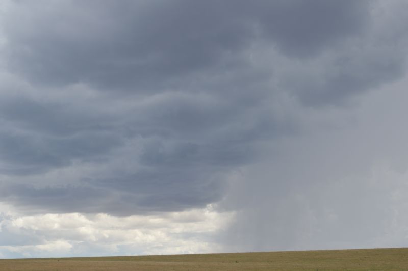
Jimmy and myself had to work hard to get this right and to ensure that we made the right moves at the right time.
The chase began as usual and we made our way to Mudgee mid to late Saturday morning.
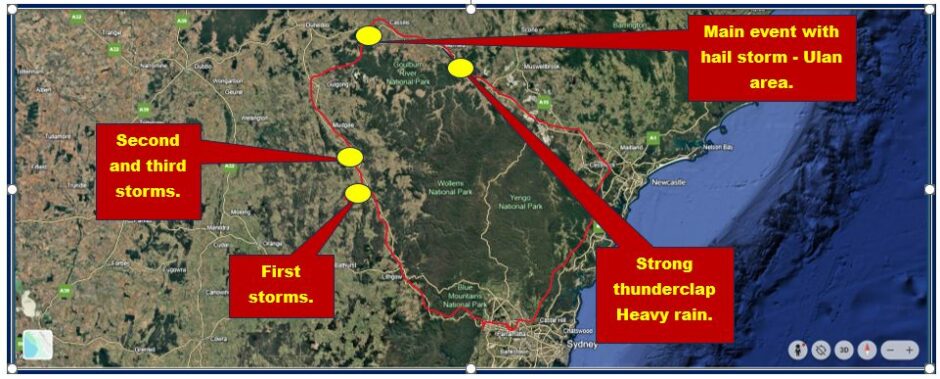
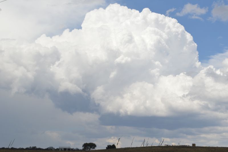
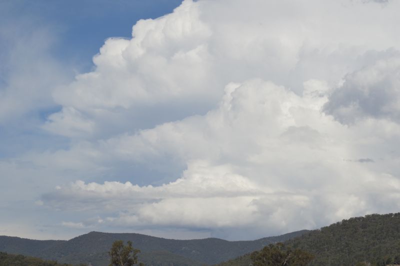
As we made our way towards Ilford on the Castlereagh Highway, cumulonimbus cloud development was observed to the north and east. At Ilford, the first thunderstorm cell was intercepted.
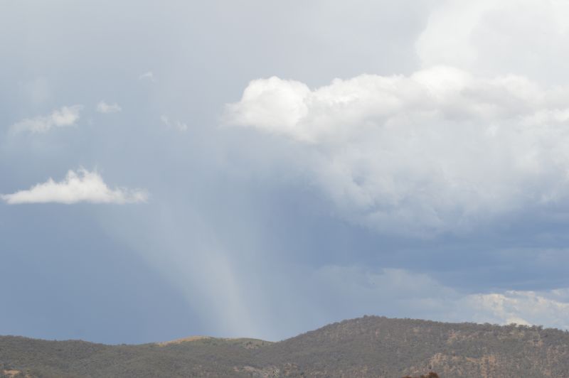
The first storms were not significant and cloud tops were not too high. Potential was there for hail and an attempt was made to intercept a hail shaft along the Ilford / Sofala Road. It was not possible to achieve this because it was likely that the hail had not reached the ground as we travelled underneath the cloud. At a lookout, we stopped to watch a hail shaft reach the ground but the storm was now well to the east within an area that could not be reached.
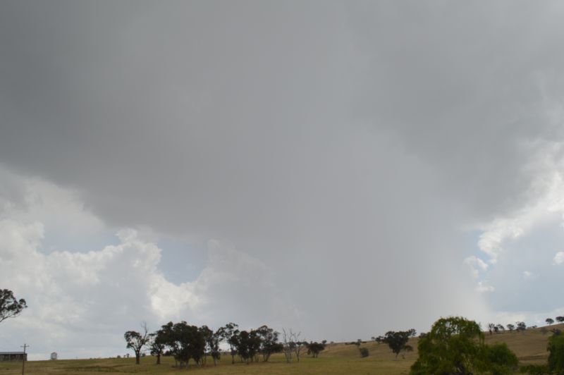
We returned to the Castlereagh Highway and travelled north and intercepted the next line of storms passing through. As I was doing the driving, I elected to line up the core of a small thunderstorm deliberately passing through the core to check for hail. It turned out that the small cell was only dropping short bursts of moderate and heavy rainfall.
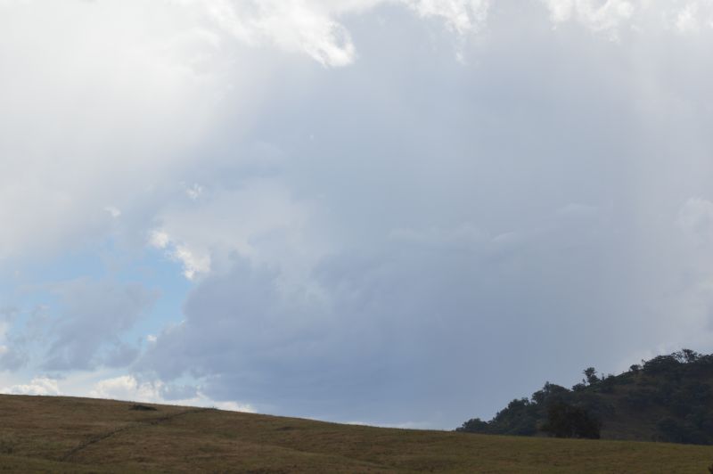
Travelling north towards Mudgee, we stopped again to watch further thunderstorms. One cell began to dominate to the east but we just had to watch it move away from us into areas that were not accessible.
By 2 pm, the region around Mudgee was drying out and thus, we left the region as conditions were not conducive to further thunderstorm development. We made our way northeast closing in on a few developing cells along Cope Road. A particular thunderstorm took our interest and we followed it through the Ulan area (Cope Road then along Ulan Road) and successfully intercepted it at a rural locality.
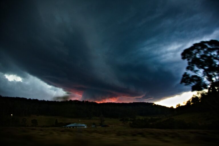
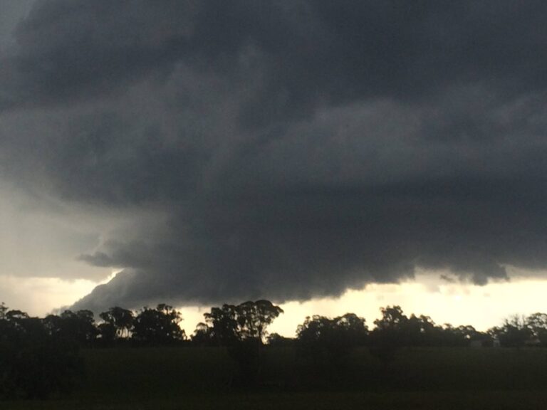
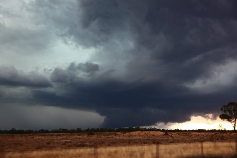
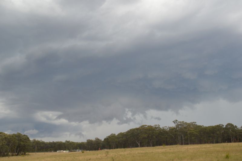
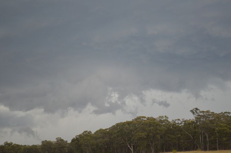
This was the highlight of the day. The storm was different as it was displaying a green tinge, a lowered base and evidence of inflow.
After taking several photos, we decide to core punch. This became our strongest thunderstorm of the day as a hail core was intercepted and a downburst with intense rain was observed within the local area.
Hail was estimated from pea size right up to 2 cm in size.
It was the storm that made our chase.
Following this, we made our way east with the line of storms to the south. We eventually reached Denman for dinner and I would like to say a big thank you for Jimmy for buying a steak dinner for me.
Following this, the chase was over and for the next 3.5 hours, we made our way back to Sydney arriving home by 10.35 pm.
- Total distance travelled was 814 km.
- A map of the days travel is shown in red on the map prepared using Google Maps with the general events plotted.
Further to this, the trip highlighted that thunderstorms did occur across the afternoon across a widespread swathe of eastern and northeast New South Wales. Many were non severe events but other storms became severe requiring warnings to be issued.
Further north towards the Queensland border and even into Queensland, a few thunderstorms became severe and isolated supercell storms were reported with damaging hail events occurring.
While we knew this would occur, driving into Queensland and back within the same day was considered not feasible.
Generally, this was an outbreak of thunderstorms and the chase that Jimmy and I undertook was just one small sample of what occurred throughout the day across a wide swathe of the state.
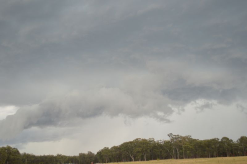
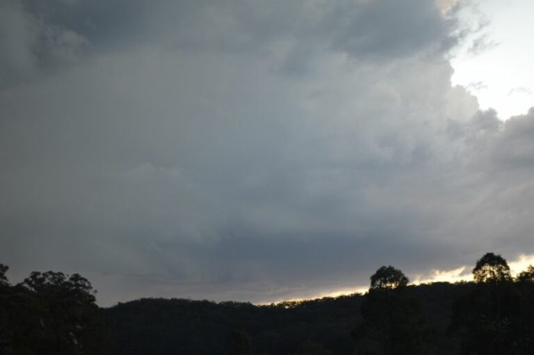
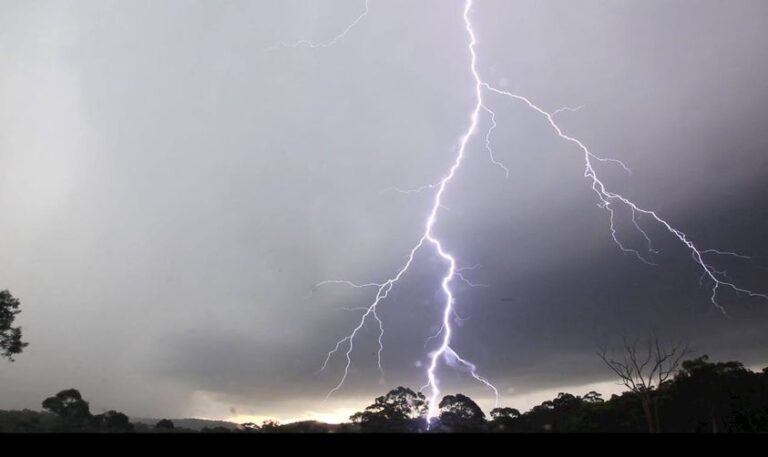
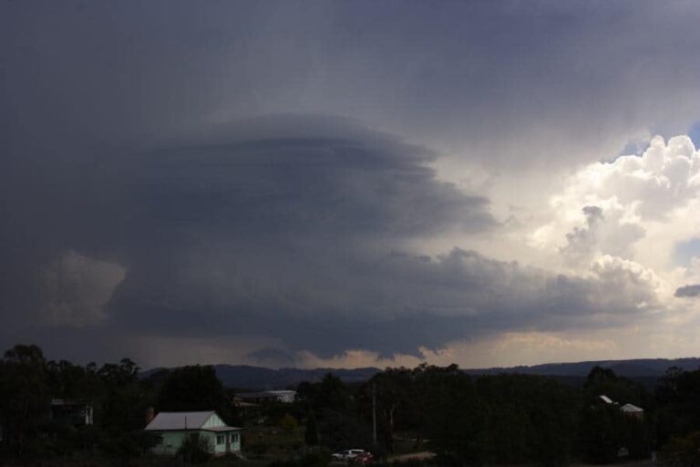
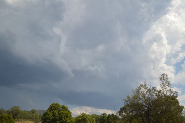
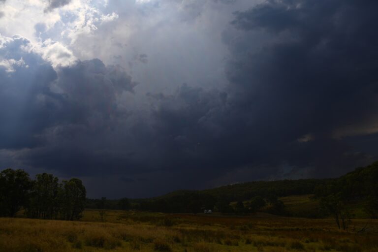
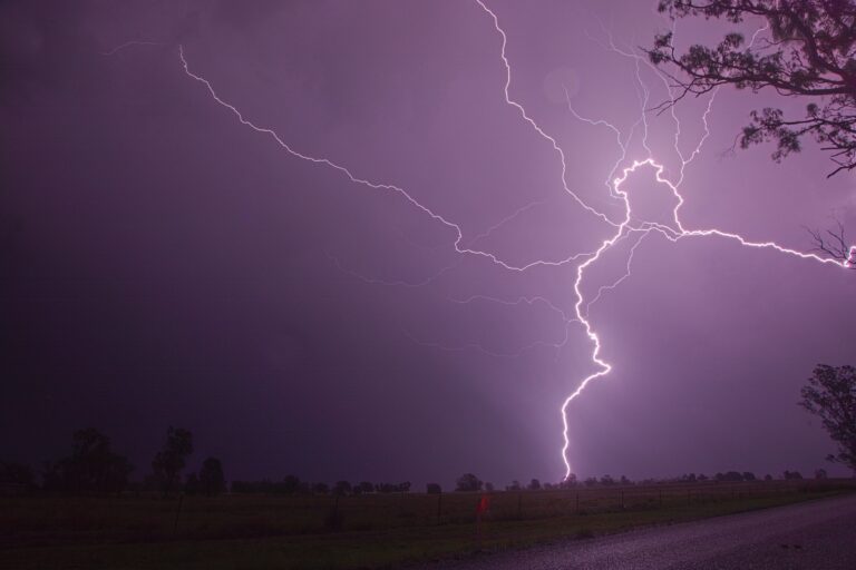
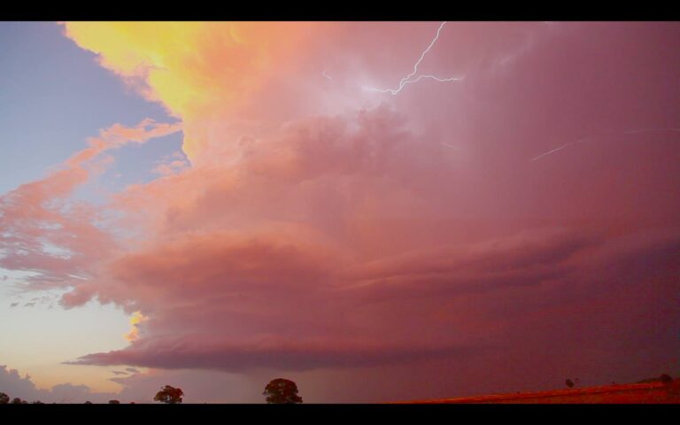
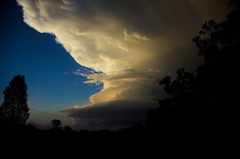
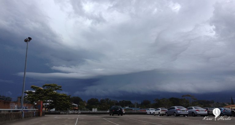
All images attached to the post were taken during the chase using my DSLR camera and the feature image shows the storm as it approached us near Ulan. (Ulan Road).