The continent of Australia is often regarded as a continent that experiences some of the most variable weather extremes found anywhere on Earth. The period 18 January to the 26 January 2021 is currently living up this reputation as a number of weather extremes are occurring or have occurred during this period. These include:-
1 – Brisbane storms (SE Queensland).
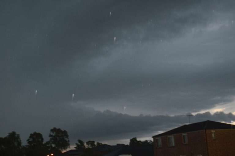
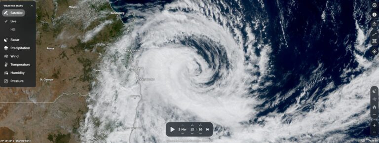
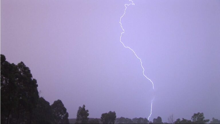
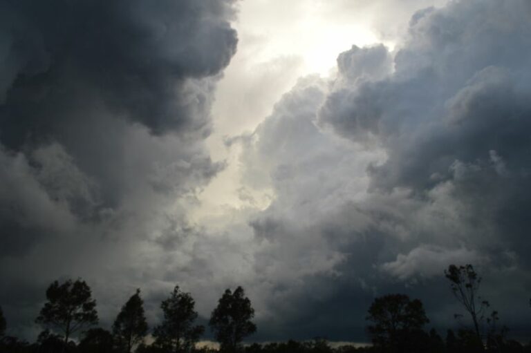
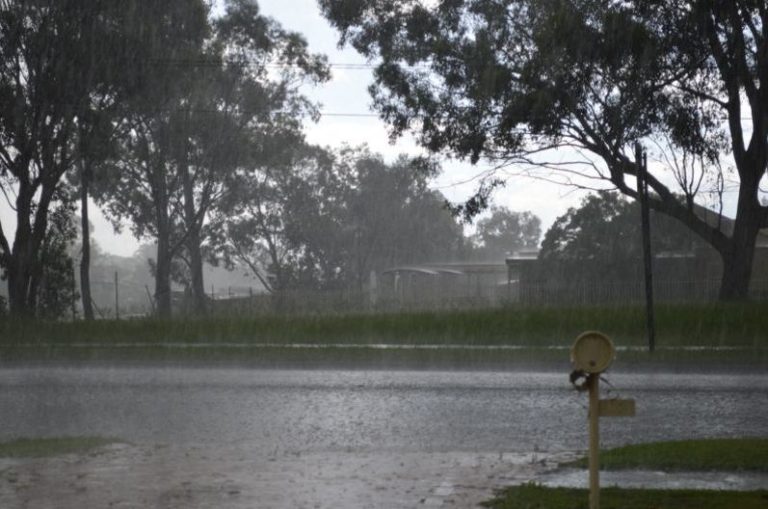
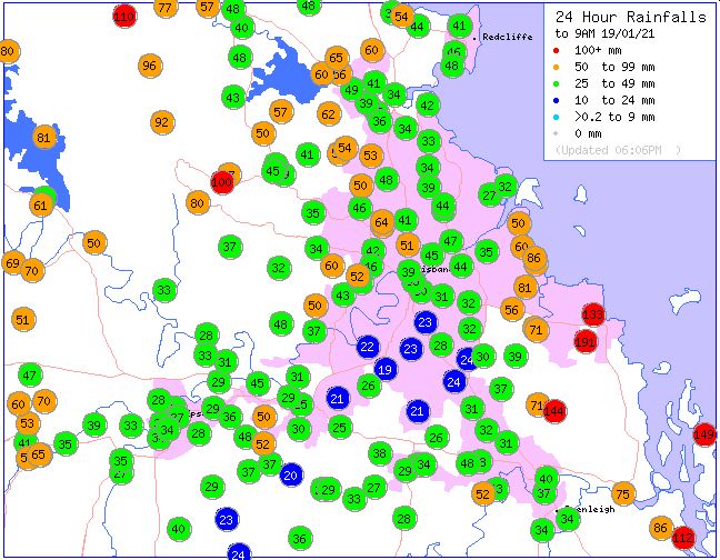
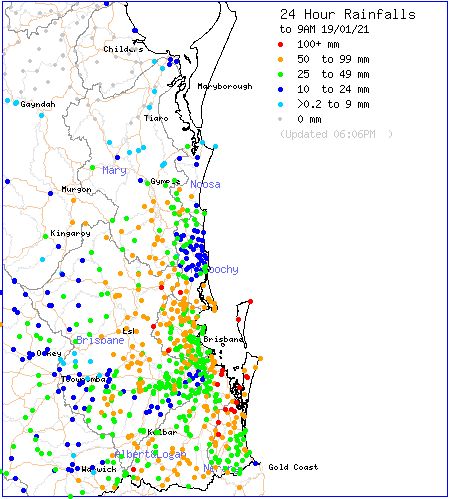
During the evening of the 18/1/2020 thunderstorms traversed across Brisbane and surrounds and isolated falls exceeding 100 mm occurred. The highest rainfall totals for the 24 hours to 9 am 19/1/2021 include 191 mm at Redcliffs followed by 157 mm at Stewards Road Alert and 144 mm at Mt Cotton. This event resulted in some local flooding and flash flooding.
Much of Brisbane and south east Queensland was impacted by this event as shown in the rainfall plots provided on the “Water and the Land” for the 24 hours to 9 am 19/1/2021.
2 – Tropical storm making landfall (NW Western Australia).
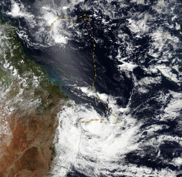
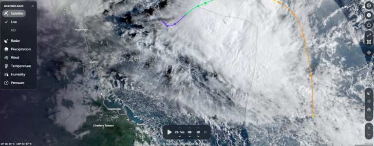
A tropical storm crossed the coast of north west Western Australia and was eventually named “Tropical Storm 14” by CIMSS. This storm cross the coast earlier than expected south west of Broom prior to its final development into a tropical cyclone.
Maximum winds at the core were forecast to reach 40 knots (74 km/h) however the storm passed close enough to 2 weather stations and as such, some observations of peak wind gusts were able to be made. These include a peak wind gust of 89km/h at Bedout Island Weather Station at 10.52 pm 21/1/2021 and a peak wind gust of 74 km/h at Rowley Shoals Weather Station.
The storm made landfall within a sparsely populated area although two rain gauges / weather stations picked up rainfalls in excess of 100 mm at landfall being Mandora – 105 mm and Pardoo Station – 162 mm for the 24 hours to 9 am 22/1/2021. The next highest rainfall occurred at Anna Plains to the north west being 63 mm. This storm broke apart upon landfall although it has spread showers, storms and cloud further inland.
It is suggested that this storm has helped to force the heat of this region towards Australia’s south east in a similar manner to what occurred in late January / early February 2009.
3 – Heatwave (southern Australia).
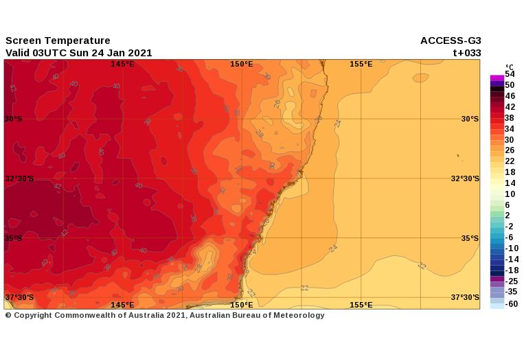
As described in an earlier post, a significant heatwave is expected across the inland of South East Australia with a number of centres expecting 2 to 3 days in a row of 40C temperatures prior to a cooler change on Tuesday / Wednesday 26 or the 27 January 2021. This is expected to be the strongest heatwave of the summer to date.
Already a number of centres have recorded high temperatures on the first day of this weather event including 38.2C at Hay and 37C at Albury and Deniliquin.
Some updated maximum temperature forecasts include 43C at Wilcannia for Saturday to Monday, 44C for Hay for Sunday and Monday, 43C and 44C for Swan Hill for Sunday and Monday, 41C and 42C for Albury for Sunday and Monday and 39C, 38C and 40C for Penrith (Western Sydney) for Sunday, Monday and Tuesday.
The burst of heat will extend into Western Sydney but will not reach the coast.
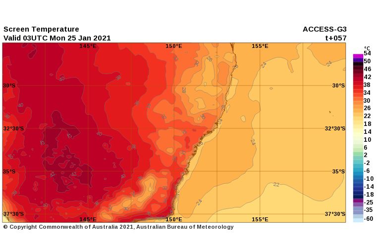
A cooler change on either Tuesday and Wednesday will conclude this event across the south east.