Extreme Storms

Storm report

Rare June thunderstorm affects Western Sydney – Sunday June 15 2025

· by Harley Pearman

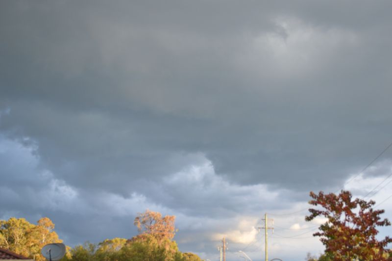
Looking south, a developing base is observed on the western side of the storm suggesting a new updraft tower above.

Thunderstorms during the months of June and July are rare events due to the lack of essential ingredients such as heat and adequate moisture available.

On Sunday afternoon, a rare mid June thunderstorm developed over Western Sydney which then tracked east towards the coast.
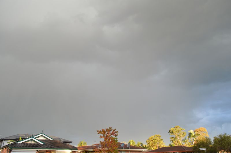
Image of storm to the east of Doonside. During this time, two cloud to ground lightning strikes were observed within this region of the storm.

The last time I remember seeing a thunderstorm occur in June was early June 2017. This event has broken a thunderstorm drought for the month.

While non sever, it did feature numerous thunderclaps and at the time of taking the photos at Doonside, two strong cloud to ground lightning strikes were observed.

No hail was observed but the raindrops were large and sustained for the duration. The raindrops were cold suggesting that hailfall was possible.
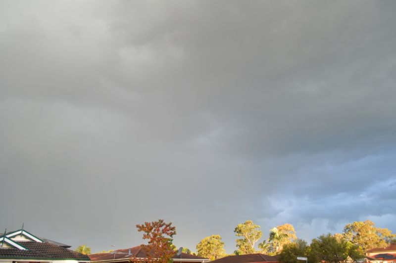
Second image of the storm looking south east.

Rainfall varied between 1 and 5 mm across Blacktown depending on location.

Open the storm map around Western Sydney, NSW

More storms near Western Sydney

All storm reports from Western Sydney, NSW →

Also on 15 June

After the storm Hail damage repair Hail dents removed from behind, factory paint kept. Hail Dent Repair. Chase with us Chase a storm for real Guided storm chasing tours in Australia and Tornado Alley. See Thunderbolt Tours.
Coming soon Radar and storm forecasting Live radar tools and severe storm forecasts from the Extreme Storms team.










