There is the possibility during the next several days of substantial and widespread falls of rain particulrly in central to northern NSW. A low pressure system is set to develop later this week.
Rain
Rain
Rain event eastern NSW 22nd November 2011 onwards
More storms near Tamworth, NSW
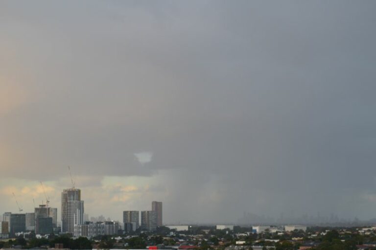 Cold, rain, storms and snowfall – Eastern New South Wales – 2 and 3 August 2025
3 Aug 2025 · Armidale, NSW
Cold, rain, storms and snowfall – Eastern New South Wales – 2 and 3 August 2025
3 Aug 2025 · Armidale, NSW
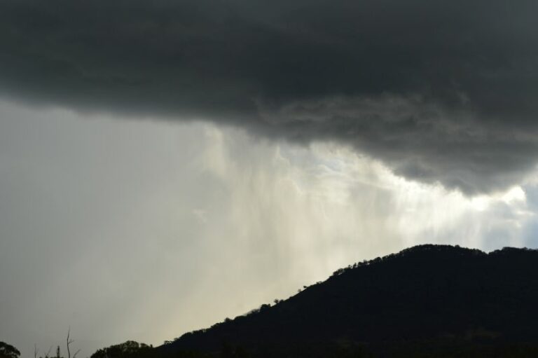 North West New South Wales storms including storm chase to Murrurundi – Upper Hunter Valley – Friday 10 January 2025
11 Jan 2025 · Murrurundi, NSW
North West New South Wales storms including storm chase to Murrurundi – Upper Hunter Valley – Friday 10 January 2025
11 Jan 2025 · Murrurundi, NSW
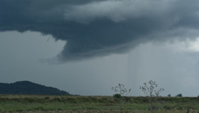 Storm chase – North west slopes and plains – Wednesday 29 November 2023
30 Nov 2023 · Gunnedah, NSW
Storm chase – North west slopes and plains – Wednesday 29 November 2023
30 Nov 2023 · Gunnedah, NSW
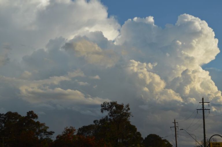 Significant storm events New South Wales – Thursday 14 October 2021
15 Oct 2021 · Eastern NSW storms (Armidale)
Significant storm events New South Wales – Thursday 14 October 2021
15 Oct 2021 · Eastern NSW storms (Armidale)
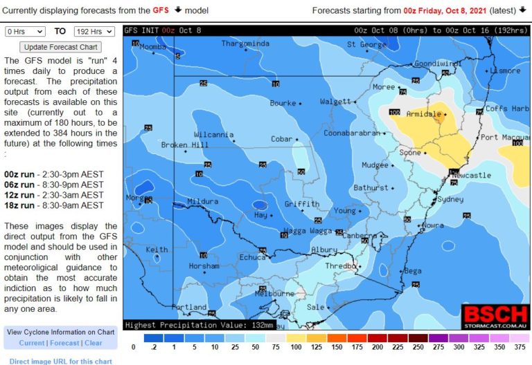 Significant rain events for New South Wales – 10 to 16 October 2021
8 Oct 2021 · NSW rain (NE NSW)
Significant rain events for New South Wales – 10 to 16 October 2021
8 Oct 2021 · NSW rain (NE NSW)
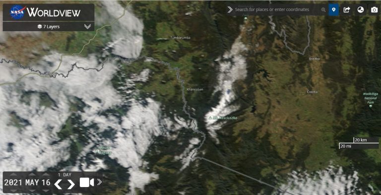 A succession of cold nights – May 15 to 21 2021 – NSW
23 May 2021 · NSW cold nights (Armidale)
A succession of cold nights – May 15 to 21 2021 – NSW
23 May 2021 · NSW cold nights (Armidale)
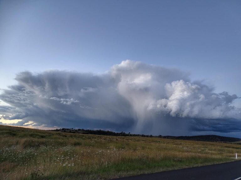 Hi all,, spent the last two days chasing the far north of n.s.w with Jimmy Deguara,, scored this beautiful storm in the northern tablelands at Walcha …
23 Jan 2021 · Walcha, NSW
Hi all,, spent the last two days chasing the far north of n.s.w with Jimmy Deguara,, scored this beautiful storm in the northern tablelands at Walcha …
23 Jan 2021 · Walcha, NSW
 Rain, storms, heat and wind – NSW – A state of contrasts – 22 to 28 December 2020
28 Dec 2020 · NSW (Tamworth/Gunnedah rain)
Rain, storms, heat and wind – NSW – A state of contrasts – 22 to 28 December 2020
28 Dec 2020 · NSW (Tamworth/Gunnedah rain)
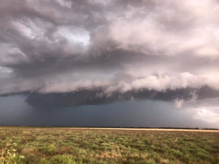 Day two of chasing storms and I ended up chasing the North West Slopes near Gunnedah and Mullaley. Two large storms at least one was a supercell but n…
18 Dec 2020 · Gunnedah, NSW
Day two of chasing storms and I ended up chasing the North West Slopes near Gunnedah and Mullaley. Two large storms at least one was a supercell but n…
18 Dec 2020 · Gunnedah, NSW
 Quirindi right now #storm #weather
6 Nov 2020 · Quirindi, NSW
Quirindi right now #storm #weather
6 Nov 2020 · Quirindi, NSW
 Quirindi #storm
6 Nov 2020 · Quirindi, NSW
Quirindi #storm
6 Nov 2020 · Quirindi, NSW
 Quirindi #storm
6 Nov 2020 · Quirindi, NSW
Quirindi #storm
6 Nov 2020 · Quirindi, NSW
All storm reports from Tamworth, NSW →
Also on 22 November
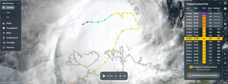 Tropical Cyclone Fina – Top End of the Northern Territory – Saturday 22 November 2025
22 Nov 2025 · Top End, NT
Tropical Cyclone Fina – Top End of the Northern Territory – Saturday 22 November 2025
22 Nov 2025 · Top End, NT
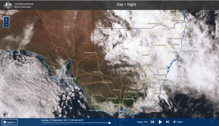 Rain, storms and flooding – New South Wales – 20 to 22 November 2021
22 Nov 2021 · New South Wales
Rain, storms and flooding – New South Wales – 20 to 22 November 2021
22 Nov 2021 · New South Wales
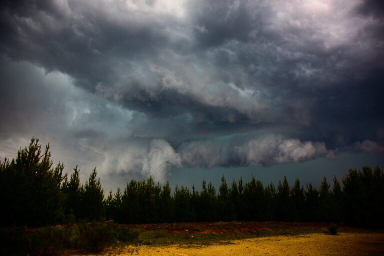 I can’t believe this was a year ago already!!
Nice storm
I did a first timer chase near Jenolan (never chased this region) waiting for a line that d…
22 Nov 2021 · Jenolan, NSW
I can’t believe this was a year ago already!!
Nice storm
I did a first timer chase near Jenolan (never chased this region) waiting for a line that d…
22 Nov 2021 · Jenolan, NSW
 I can’t believe this was a year ago already!!
Nice storm
I did a first timer chase near Jenolan (never chased this region) waiting for a line that d…
22 Nov 2020 · Jenolan, NSW
I can’t believe this was a year ago already!!
Nice storm
I did a first timer chase near Jenolan (never chased this region) waiting for a line that d…
22 Nov 2020 · Jenolan, NSW
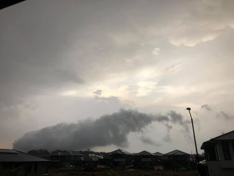 Deteched cloud with mammatus
22 Nov 2019
Deteched cloud with mammatus
22 Nov 2019
 Lightning Hits Tree in Howes Valley 19th November 2016
22 Nov 2016 · Howes Valley, NSW
Lightning Hits Tree in Howes Valley 19th November 2016
22 Nov 2016 · Howes Valley, NSW
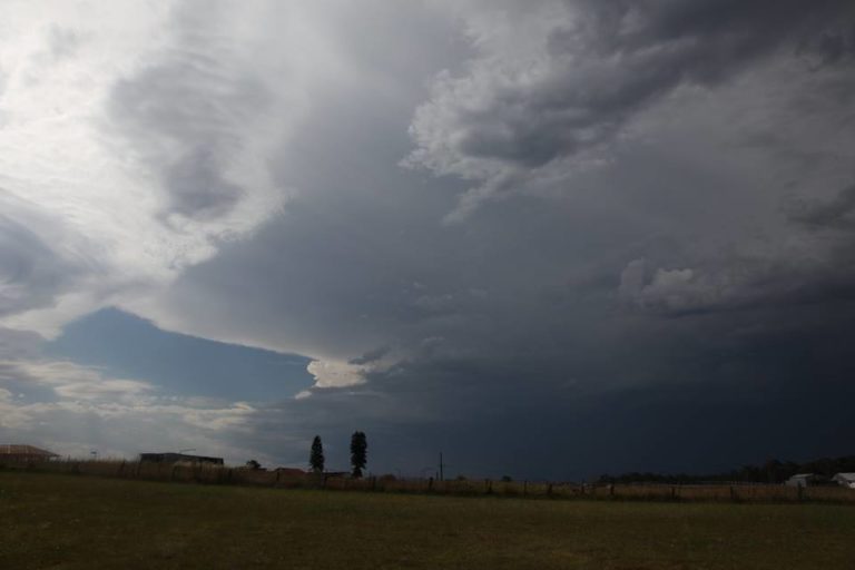 Severe Storm Warning Sydney 21st November 2016
22 Nov 2016 · Sydney, NSW
Severe Storm Warning Sydney 21st November 2016
22 Nov 2016 · Sydney, NSW
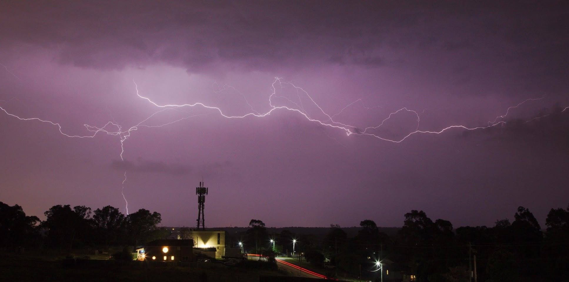 Sunny Corner and Central Tablelands Hailstorm 20th November 2016
22 Nov 2016 · Sunny Corner, NSW
Sunny Corner and Central Tablelands Hailstorm 20th November 2016
22 Nov 2016 · Sunny Corner, NSW
 Rain Event follows Heat Wave 24th November 2014
22 Nov 2014 · Albury, NSW
Rain Event follows Heat Wave 24th November 2014
22 Nov 2014 · Albury, NSW
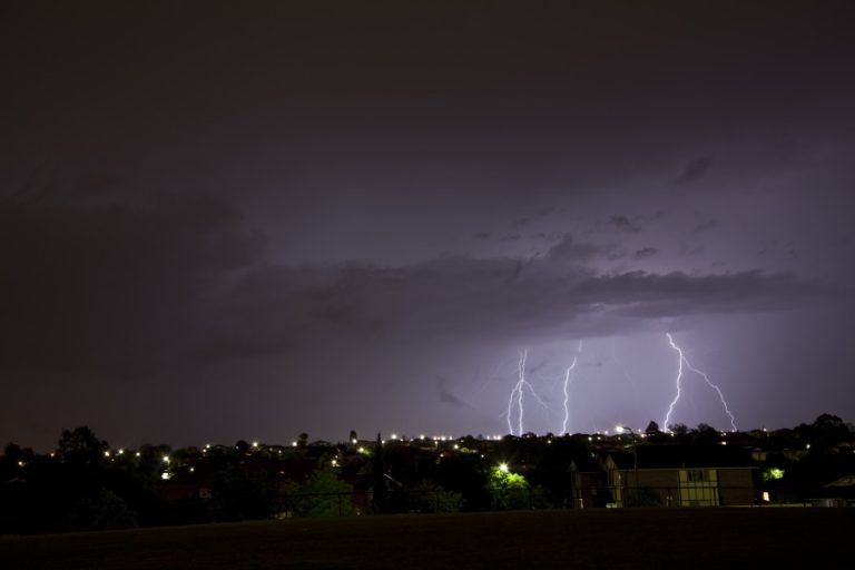 Lightning Acacia Gardens 15th November 2013
22 Nov 2013 · Acacia Gardens, NSW
Lightning Acacia Gardens 15th November 2013
22 Nov 2013 · Acacia Gardens, NSW
8 comments
Add a comment
You must be logged in to post a comment.
Locally, the rain event is expected to be more significant in NE NSW with totals of the order of 150 to 200mm range.
And just to top things off – severe storms on the mid-north coast with a severe warning in play.
See : 128km Radar Loop for Newcastle, 03:00 22/11/2011 to 14:00 23/11/2011 UTC
Latest model output keep the heavier rain in NSW and inland southern QLD. Bit of instability today too so might see a storm amongst the development in the Northerb Rivers.
The flood watch has been extended and suprised to see it sayd moderate to major flooding in NE NSW – it will take a lot of rain for that to eventuate
FLOOD WATCH FOR NAMOI,PEEL,SEVERN,UPPER MACINTYRE, TWEED, BRUNSWICK, RICHMOND,WILSONS AND UPPER HUNTER RIVER VALLEYS FROM WEDNESDAY AFTERNOON THROUGH TO THE WEEKEND
Issued at 10:39 am EDT on Wednesday 23 November 2011
Note: This Flood Watch is a “heads up” for possible future flooding and is NOT a Flood Warning [see note below].
Rainfall in excess of 100 to 150 millimetres is expected over many parts of the north east NSW from Wednesday through to the weekend.
At this stage there is a greater than 70% chance of local and main river flooding developing in the following locations from Wednesday afternoon onwards:
1. Peel and Namoi River Valleys – major flooding in the Peel Valley including Nundle and Tamworth, moderate to major flooding in the Namoi Valley.
2. Severn and Upper Macintyre Valley – minor to moderate flooding at Ashford, Inverell and downstream.
3. Tweed and Brunswick Valleys – minor to moderate flooding
4. Richmond and Wilsons Valley – moderate to major flooding
5. Upper Hunter – minor to moderate flooding at Scone and Muswellbrook
6. Northern tablelands – local flooding at Armidale
Hi Michael,
And there have been substantial falls in south east Queensland as well in the past 24 hours.
Here we have had just over 50mm of rain 27.6mm +19mm this morning.
Regards,
Jimmy Deguara
Some impressive rainfall totals across the NSW Northwest Slopes with major flooding expecting into Moree later. Not often you see such high totals in those parts of the state – though it is more likely in a La Nina year. Gravesend east of Moree had 190mm to 9am 26th Nov
MAJOR FLOOD WARNING FOR GWYDIR RIVER AT GRAVESEND AND DOWNSTREAM AND THE MEHI RIVER AT MOREE
Issued at 9:14 am EDT on Saturday 26 November 2011
Flood Warning Number: 5
Up to 300 millimetres of rain has fallen since Wednesday morning in the lower Gwydir Valley. Intense rain of 40 to 50 millimetres in less than 6 hours has been recorded at several locations this morning.
This rain will worsen the flood situation with respect to predicted heights and result in earlier timing of major flood levels in the lower valley.
Predicted River Heights/Flows:
Peak predictions will be made when upstream peaks are observed.
Gravesend
– reach 14.5 metres around 9pm Saturday evening with major flooding
Pallamallawa
-reach 10.4 metres around 3am Sunday morning with major flooding
Yarraman Bridge
– reach 7.4 metres Sunday morning with major flooding
Moree (Meehi River)
– reach 9.5 metres Sunday night with major flooding
Michael,
Seems like the North West Slopes and Plains copped the anticipated heavy rains and experiencing major flooding. Not often have I heard of Moree and Wee Waa in recent years in major flood modes.
Does anyone know if the peak reaches in Moree has exceeded any significant records?
Regards,
Jimmy Deguara
Media reports last night incidate the floods are receding and had peaked. Unfortunately, aprt from the damage it has caused, it caused one fatality.
Jimmy
A mid-north coast webcam (Mid Coast water) just north of Forster captured those storms you linked the radar to Jimmy. Shows a semi-interesting feature