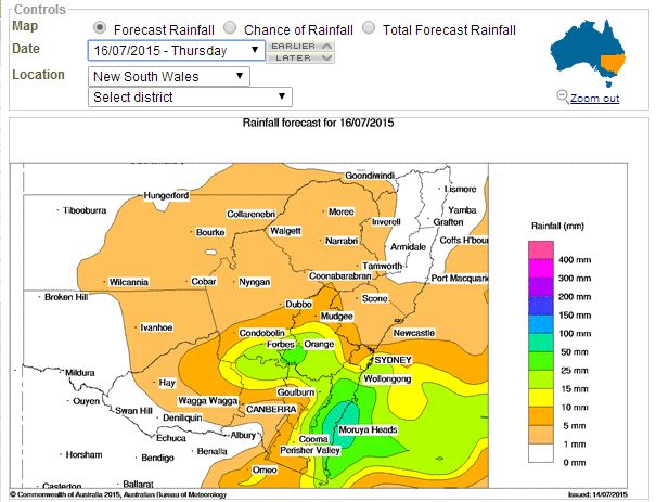
Following the recent cold spell that saw snow fall along the ranges of Victoria and New South Wales and some quite cold temperatures, a second cold and rain outbreak is identified by weather models for the period 15 to 17 July 2015.
However it is identified that temperatures should not be quite as cold as the previous cold spell. While snow is being forecast for the higher elevations such as Thredbo Top Station, Perisha Valley (NSW), Falls Creek and Mt Hotham (Victoria), the chances of snow fall at places such as Oberon, Lithgow and Crookwell is much diminished. Snow is generally not being forecast in any great detail for the localities across the tablelands.
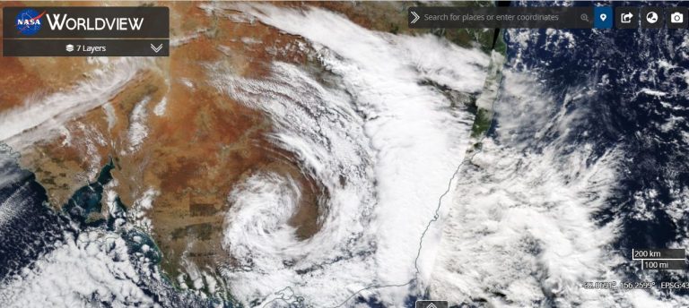
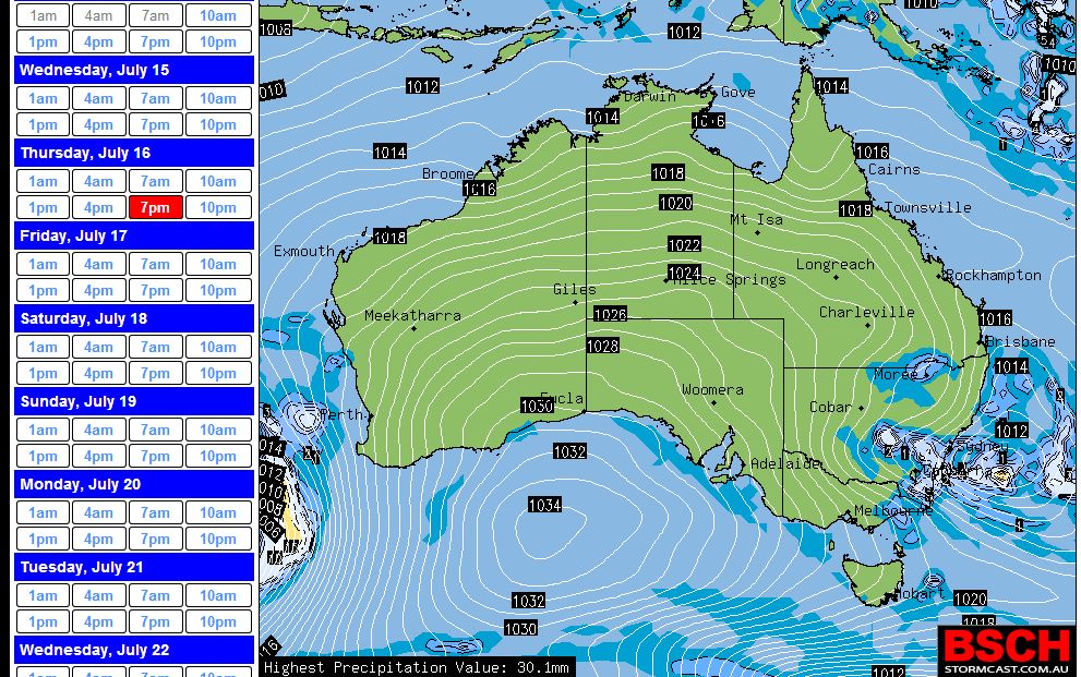
The main event appears to be a developing low pressure cell and an eventual east coast low producing some moderate and reasonable rainfall totals across the Central West and South West slopes of New South Wales and later during the period, the coast. The Bureau of Meteorology Water and the Land Model is suggesting the South Coast to receive the higher rainfall totals with towns including Batemans Bay, Moruya and Ulludulla to receive the better totals. At the same time, the Weatherzone model is suggesting anywhere from Port Stephens in the north to Batemans Bay in the south to receive the better rainfall totals along the coastal fringe.
While snow is generally not being forecast at towns across the Tablelands, it is identified that some cold weather conditions will prevail during Wednesday and Thursday. Maximum temperatures suggested for a selected range of towns for Wednesday and Thursday include:-
Bathurst 9C for Wednesday and 8C for Thursday.
Goulburn 9C for Wednesday and 8C for Thursday.
Jindabyne 6C for Wednesday and 6C for Thursday.
Lithgow 9C for Wednesday and 6C for Thursday.
Narooma 15C for Wednesday and 14C for Thursday.
Temora 8C for Wednesday and 10C for Thursday.
Wagga Wagga 9C for Wednesday and 13C for Thursday.
Rain is in the official forecast for all the centres at some time during this event. This shows some further cold weather but not as cold as Sunday.
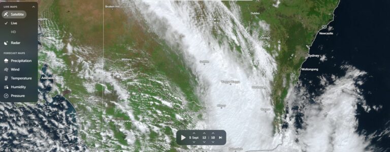
The relevant models are attached. The key to this event would be the development of any east coast low as suggested. Its position will eventually influence how much rain falls over any particular area. At the present time, it is suggested that the low should form or move to the south of Sydney which would take the heaviest rain to the south but that could change as time draws closer.