Friday 23 February 2024, I undertook another storm chase this time south west of Sydney concentrating within the Tarago / Lake Bathurst region as well as the Hume Freeway corridor between Goulburn and Camden.
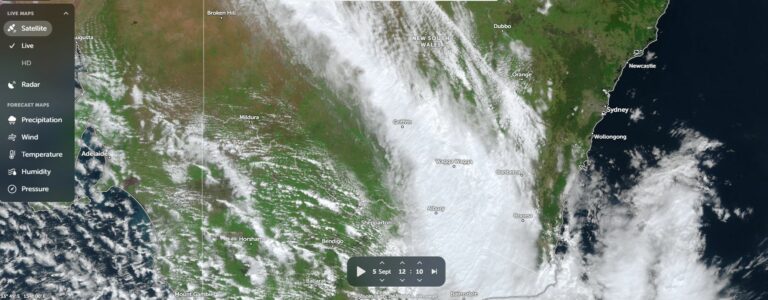
A cold front moving east across southern New South Wales had reached this region by early to mid morning which tracked northwards as the day progressed.
The main aim of this chase was to target the cold front then track northwards with it to find out what would occur.
Showers and thunderstorms were forecast to occur on or ahead of the wind change.
Forecasting this event was challenging and difficult. I believed that the best areas in the end would be that area close to the coast and nearby coastal ranges but with easy access to the Hume Freeway corridor.
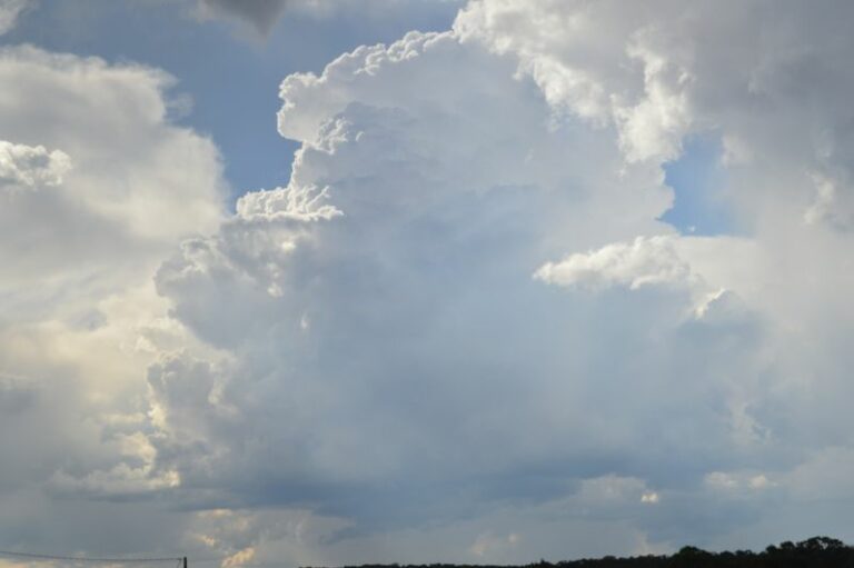
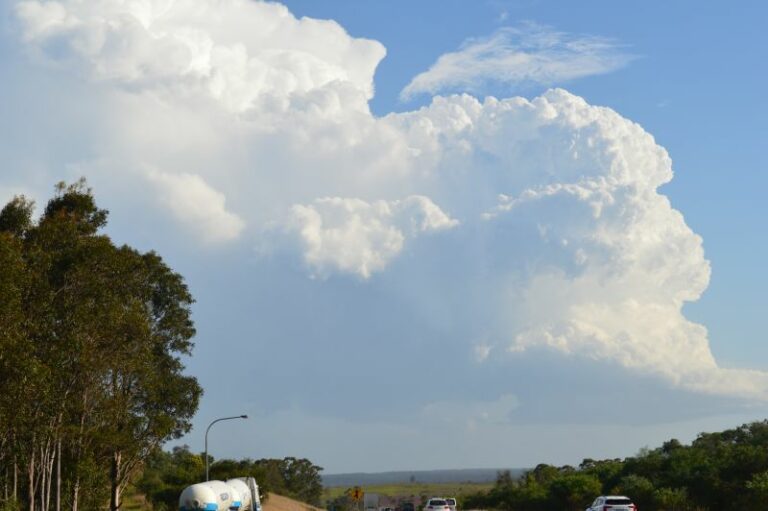
I left home at around 8.30 am travelling south. As I reached an area just south of Mittagong, I could see weak cumulonimbus cloud towers on the horizon. This was the system that had crossed over southern New South Wales earlier that morning.
I headed south via Bungonia bypassing Goulburn then eventually reached Tarago around 11 am where I began to observe weak high based storms to the south and west. I took a closer look at these by traveling south west towards Bungendore but not proceeding more than 10 km south west of Tarago. I made several brief stops to observe cloud structure.


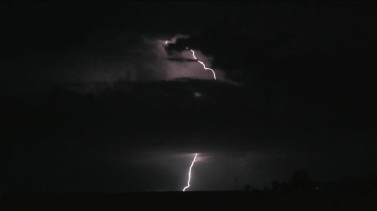
Occasional cloud to ground lightning was observed but storms were high based with little rainfall occurring. I could even see the western most clearing edge of the cloud mass at times.
The first storm of the day developed ahead of the main cloud mass and I drove back to Tarago then headed north to Lake Bathurst to intercept this. The storm produced a burst of heavy rainfall but localized to a small area.
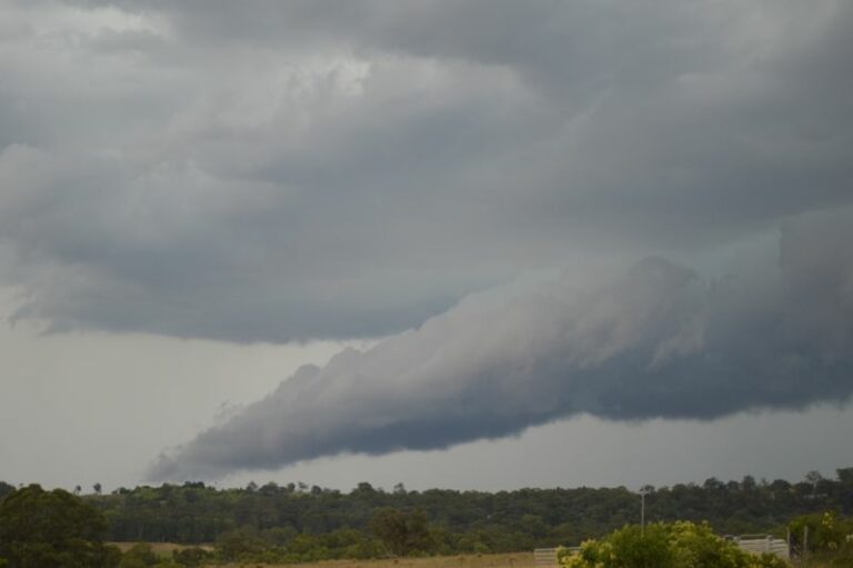
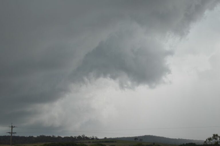
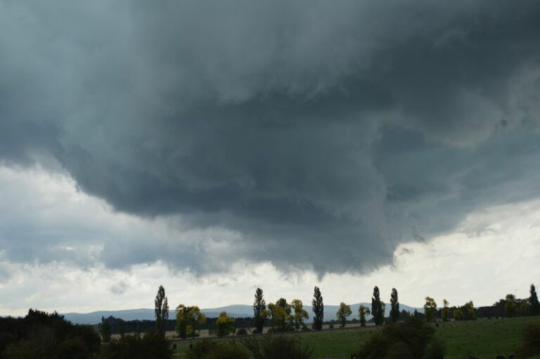
The second storm which I could see to the north west took my interest so I drove north towards Goulburn where I began to observe a significant thunderstorm complete with a low base coming towards me.


This became a significant event. After taking as many photos as possible, I made an attempt to catch the northern end and lowered cloud structure but unable to as the storm was moving at speed. The storm overtook me at the Tirrannaville locality producing very strong and damaging winds. I could even see power poles shaking or bending in the winds. I pulled off the road at a safe location near Tirrannaville just in case power poles did in fact fall down.


Besides the winds, the storm was accompanied by very heavy rain and small hail that melted fast.
I later discovered that wind gusts reached 111 km/h at the nearby Goulburn Airport which is located approximately 4 km north east of where I was. It is possible that I experienced wind gusts to this level given the proximity of the airport to where I was.
A locality map produced using Nearmaps is attached showing where I was in relation to the airport and where such damaging winds occurred.
I did a brief damage assessment thereafter and noted some trees brought across the area.
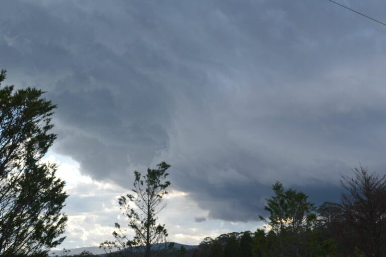
I then left to chase the weather system further north and to catch up with the narrow storm front. I was able to overtake the system again passing underneath another storm cell with heavy rainfall and stopped at a rural area south of Berrima to photograph another thunderstorm of interest that passed over me. The storm also produced heavy rainfall and small hail (Approximately pea size at best).


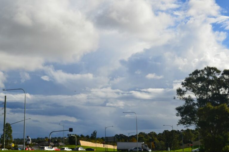
I then kept driving north eastwards towards Campbelltown then west to Camden then Cobbity where I observed new storms forming to the south and west.
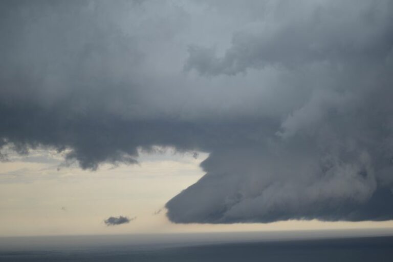
By late afternoon, the wind change overtook me. I then proceeded north to Penrith observing and photographing a decaying storm late in the day at a lookout.


The chase ended as storms weakened or appeared to miss Western Sydney completely. New cells formed to the east and off the coast but I let these go and concluded the chase.
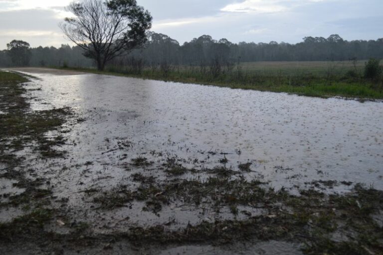
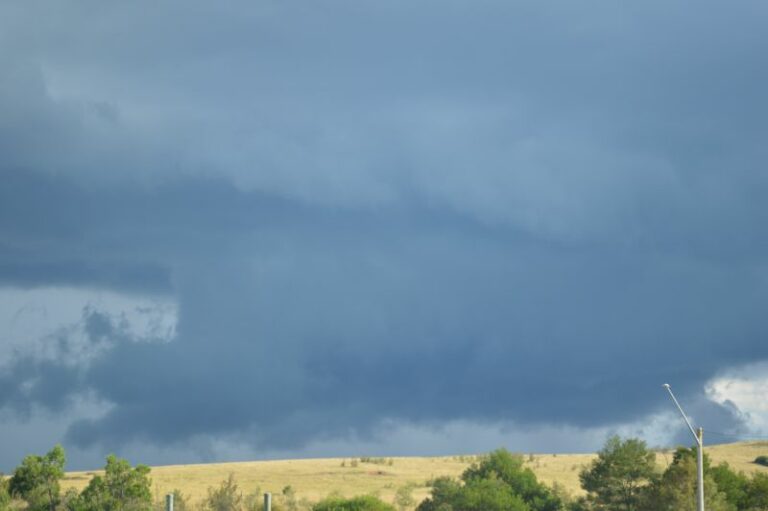
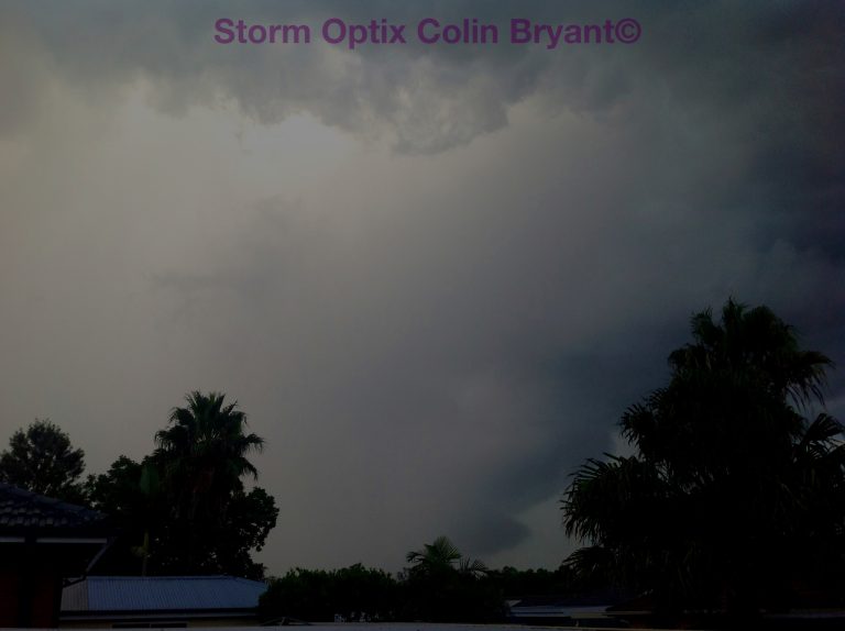
Attached are photos taken during this chase. This was a chase where a person had to keep abreast of the wind change and move rapidly otherwise it would have been easy to be left behind because the change was fast moving.