Extreme Storms
Rain9 November 2022 · Batemans Bay, NSW

Photos · Rain

Convective Storms – New South Wales South Coast – Monday 7 November 2022

· by Harley Pearman

While on the New South Wales South Coast at Batemans Bay, I had the opportunity to witness a narrow line of showers and thunderstorms form along the edge of the coastal ranges inland from the coast during Monday.

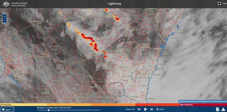
The showers were developing approximately 20 km inland from the coast between 10 am and 3 pm. The cooler east to north east wind and coastal sea breezes assisted their development along the coastal ranges.

These were convective in nature and were dropping their heaviest rainfall within the hills and forests of the coastal ranges generally within areas where there is no road access.

South coast thunderstorms
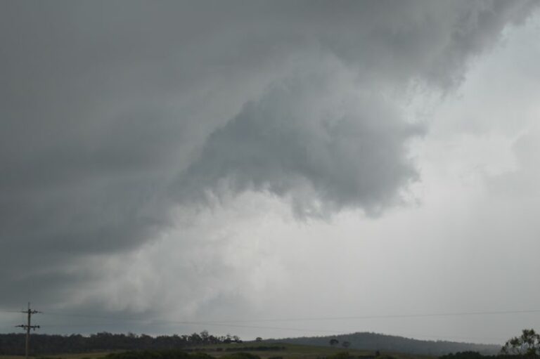
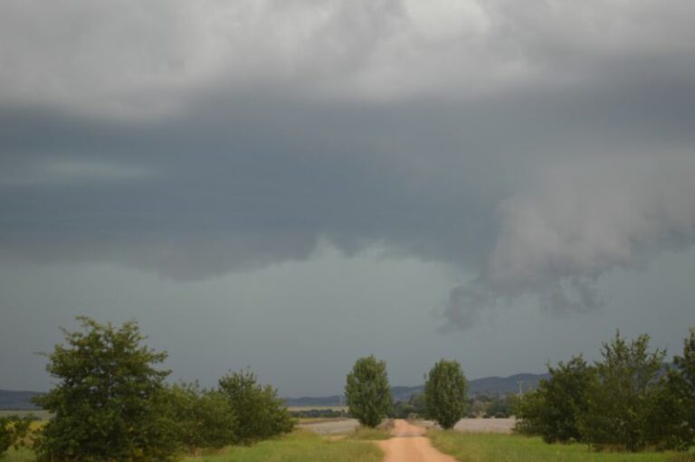
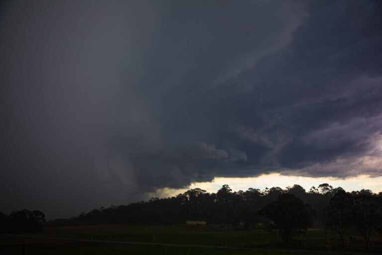
Thunderstorm cells west of Batemans Bay NSW Monday 7 November 2022 – Image 1
Thunderstorm cells Batemans Bay NSW
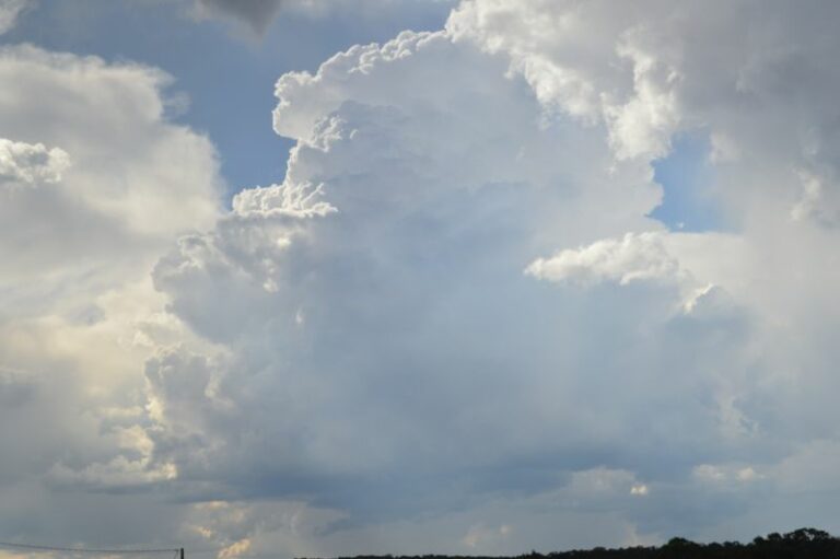
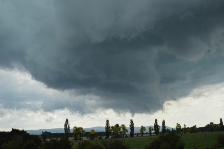
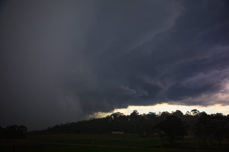
Thunderstorm cells west of Batemans Bay NSW Monday 7 November 2022 – Image 2

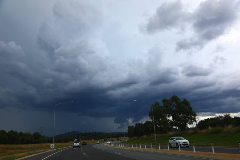
The photos shown were taken at Batemans Bay all looking west.

The country is not suitable for storm chasing but for 5 hours, they did provide an interesting backdrop to the western sky.

Thunderstorms formed, matured then went into rapid decline.

After 3 pm Monday afternoon, the storm activity waned.

The photos show the storms at their peak around 2 pm. More thunderstorms developed inland away from the coastal fringe during Monday producing considerable rainfall for those areas underneath these.

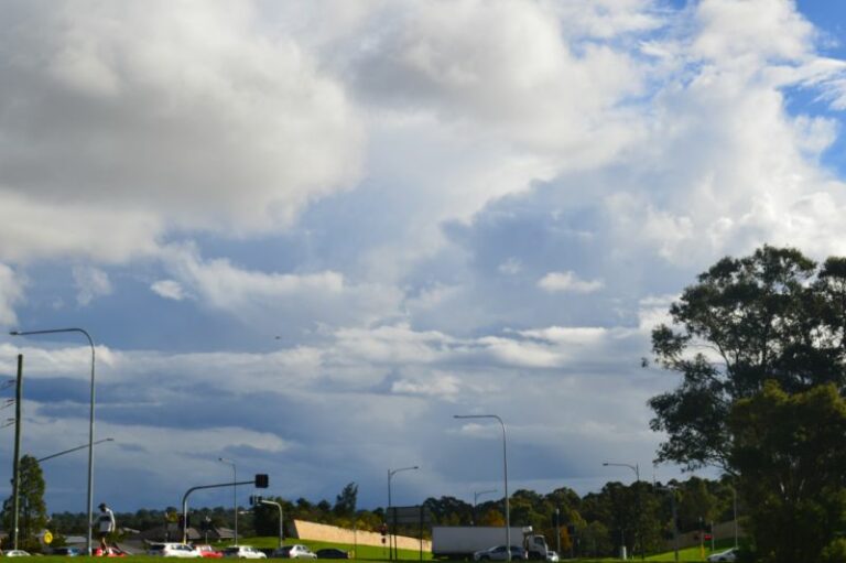
Thunderstorms Batemans Bay looking west
Thunderstorm cells and cloud towers west of Batemans Bay NSW Monday 7 November 2022 – Image 3

It is known that Braidwood received 46 mm from showers on Sunday night and another 21 mm from showers and storms during Monday.

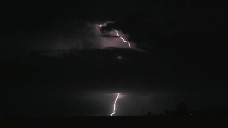
It is known that a thunderstorm cell developed around Braidwood Sunday evening but during my observation, I only ever saw 1 lightning flash emanating from this cloud.

Thunderstorm clouds were also observed across the Brindabella Ranges and the Snowy Mountains south west of Canberra between 11 am and 2 pm during Tuesday but while visible from Canberra, they remained wholly within inaccessible areas of the ranges and most had weakened after 3 pm.
Open the storm map around Batemans Bay, NSW

More storms near Batemans Bay, NSW

Intense Rainfall, Thunderstorms and Brief Ulladulla Tornado – Southeast Australia 2 and 3 October 2026 3 Oct 2026 · Ulladulla, NSW From 27C at Batemans Bay to 13C at Braidwood – A Contrast across the Cold Front – Saturday 5 September 2026 6 Sep 2026 · Braidwood, NSW Storms Southern Tablelands and storm chase Batemans Bay to Sydney – Saturday afternoon 8 February 2025 9 Feb 2025 · Braidwood, NSW Severe warned afternoon storms and storm chase – Southern Highlands of NSW – Saturday 4 January 2025 5 Jan 2025 · Southern Highlands, NSW A difficult storm chase finishes with a coastal lightning show – South East New South Wales Wednesday 1 January 2025 2 Jan 2025 · Araluen, NSW Coastal rainfall continues including heavy rainfall on the New South Wales South Coast – Sunday 12 May 2024 12 May 2024 · South Coast NSW Storm chase including severe storm that impacts Tirrannaville locality – 23 February 2024 24 Feb 2024 · Tirrannaville, NSW Severe Storms South East Australia – 2 and 3 January and Storm Chase 3 January 2024 4 Jan 2024 · Braidwood, NSW Possible supercell based on warning for Canberra early this afternoon 31st January 2022 Not for Media Use Lcensing available 31 Jan 2022 · Canberra, ACT Heavy rain and flooding – New South Wales South Coast – 4 to 7 May 2021 7 May 2021 · South Coast NSW floods Has it been 3 years? Braidwood , Jeff Brislane and I took the risk of heading do… 30 Oct 2020 · Braidwood, NSW Braidwood Hailstorm 2013 30 Oct 2020 · Braidwood, NSW

All storm reports from Batemans Bay, NSW →

Also on 9 November

After the storm Hail damage repair Hail dents removed from behind, factory paint kept. Hail Dent Repair. Chase with us Chase a storm for real Guided storm chasing tours in Australia and Tornado Alley. See Thunderbolt Tours.
Coming soon Radar and storm forecasting Live radar tools and severe storm forecasts from the Extreme Storms team.