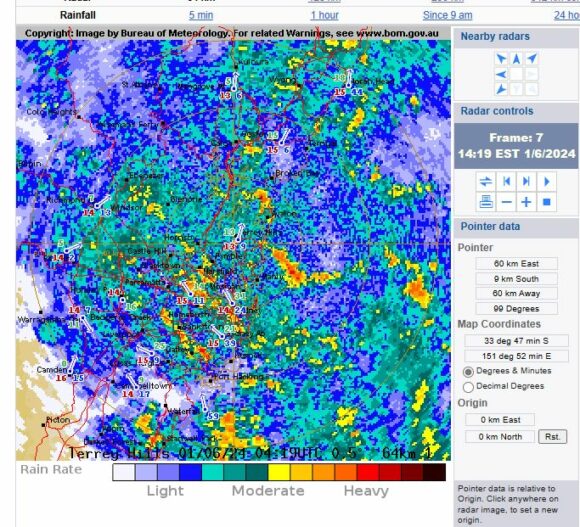
The rain event of Saturday afternoon and Sunday morning 1 and 2 June 2024 was difficult to predict. The GFS on Thursday suggested heavy rainfall just to the north of Sydney for Saturday and into Sunday morning being the Central Coast and Lower Hunter Valley areas. Instead, the heaviest falls occurred further south than what was anticipated.
Instead, Eastern Sydney received the heaviest totals during the period and when looking across the city, there are 4 zones that can be identified as follows:

- Outer southwest and southwest regions where 5 to 12 mm fell.
- Western Sydney where 25 to 45 mm were commonplace being areas west of Mt Druitt.
- Central areas between Blacktown and Parramatta where 50 to 80 mm fell.
- Eastern Sydney where 100 mm falls and above were prevalent.
The heaviest totals from the event were:
- Rose Bay - 171 mm.
- Little Bay - 159 mm.
- Sydney Observatory Hill - 142.6 mm.
What this shows is that a localized region of the city being the eastern areas received enough rainfall to cause local low level flooding following such rainfall.
The rainfall eased during the early hours of Sunday morning between 2 am and 4 am.

A low has since formed well offshore being a Tasman Sea low which is moving south and southeast taking the worst of the wet weather well offshore.
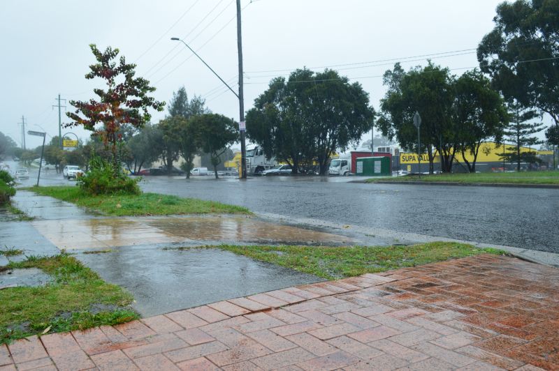
The feature image above taken at Doonside shows the onset of the rainfall early Saturday afternoon. Thick low level nimbostratus cloud featured with constant rainfall at least between 11 am Saturday and into the early hours of Sunday morning.
